This Adventurous Age

Adventures travelling and working around Australia.


Leave a comment

2010 Travels May 19

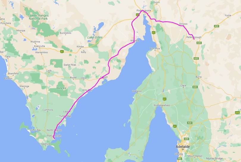
WEDNESDAY MAY 19     PETERBOROUGH TO GOL GOL     435kms

We gave our remaining fruit and vegie stocks to the caravan park lady, knowing that we would be reaching the fruit fly exclusion zone of the irrigated regions along the Murray River today.

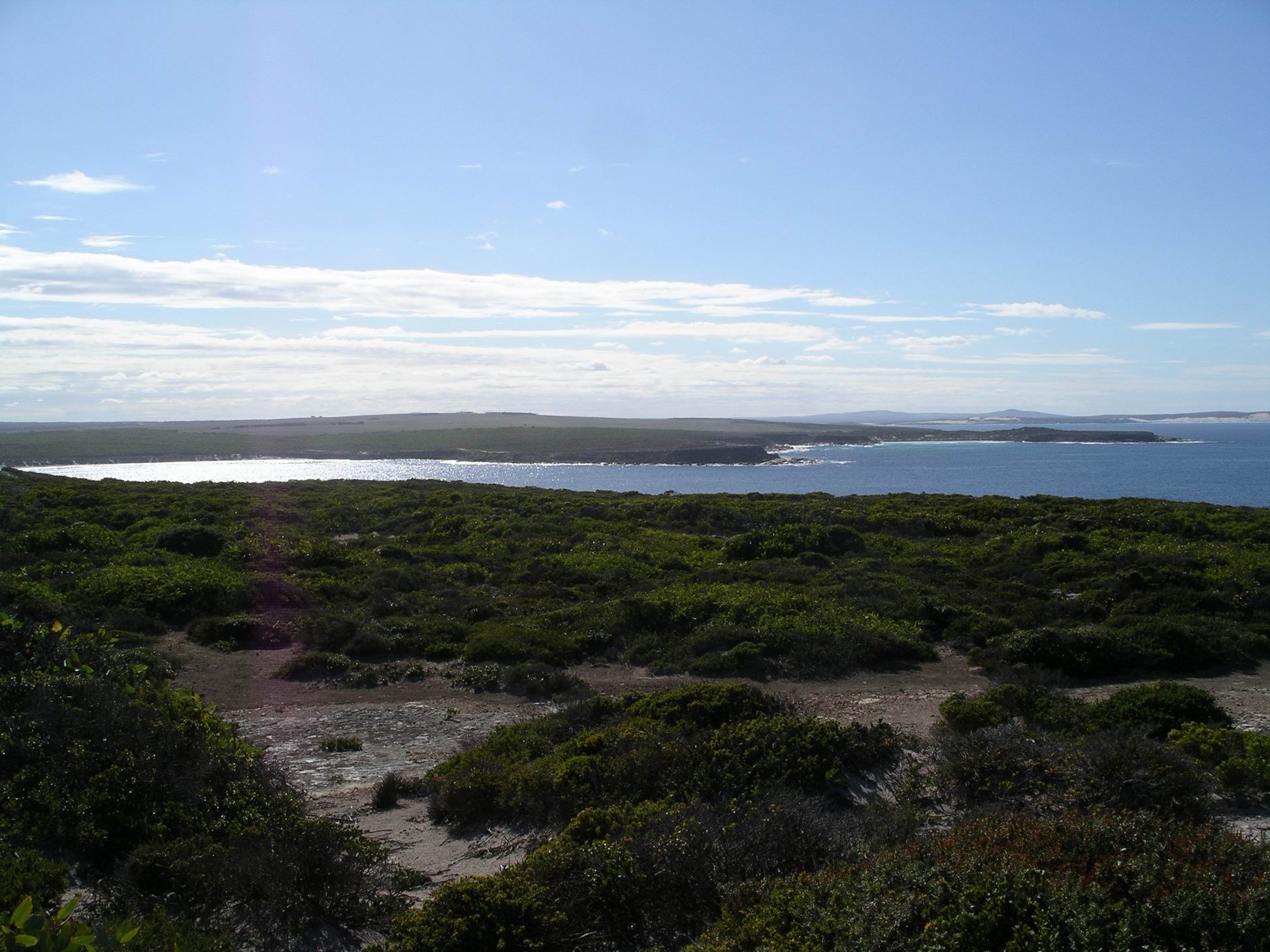
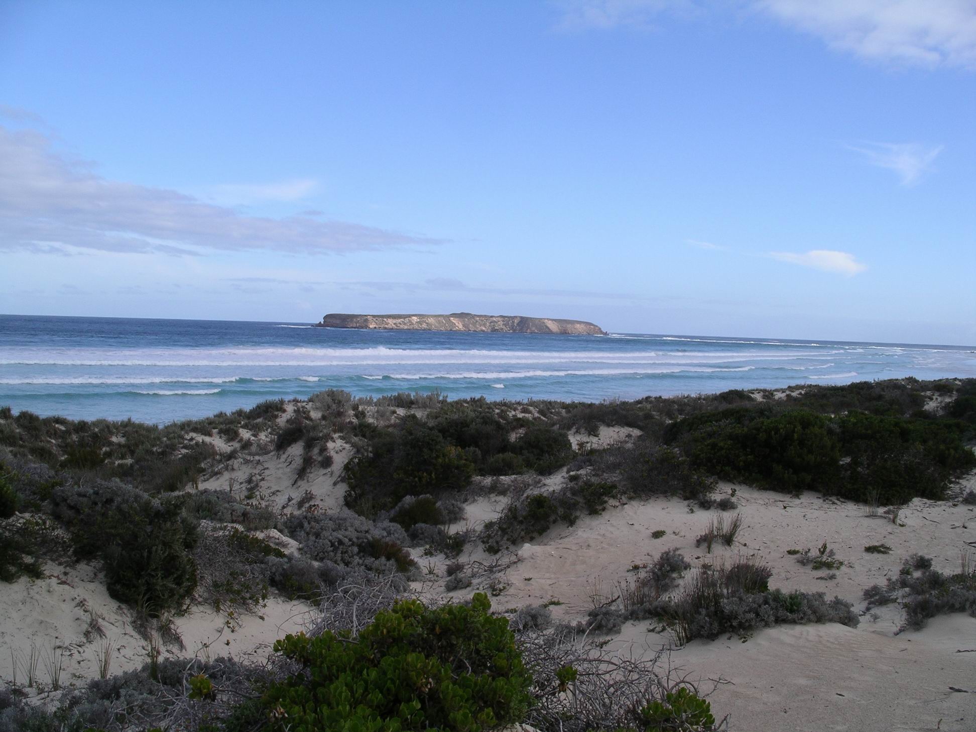
It was a pleasant day, sunny, just warm enough.

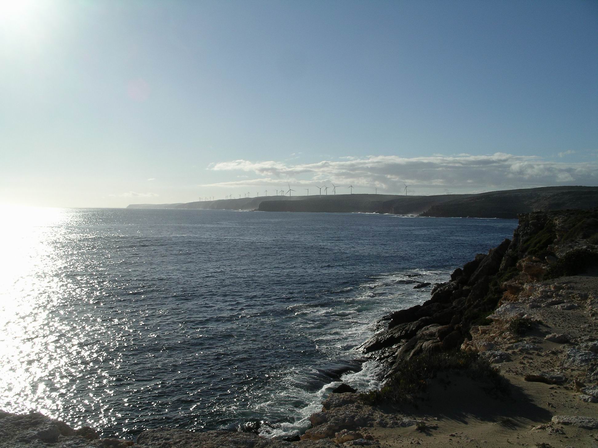
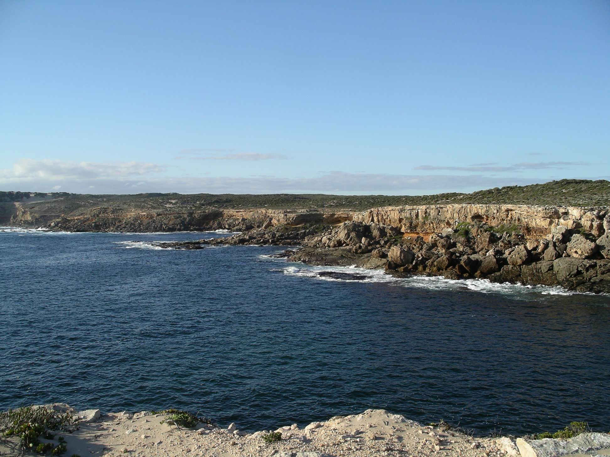
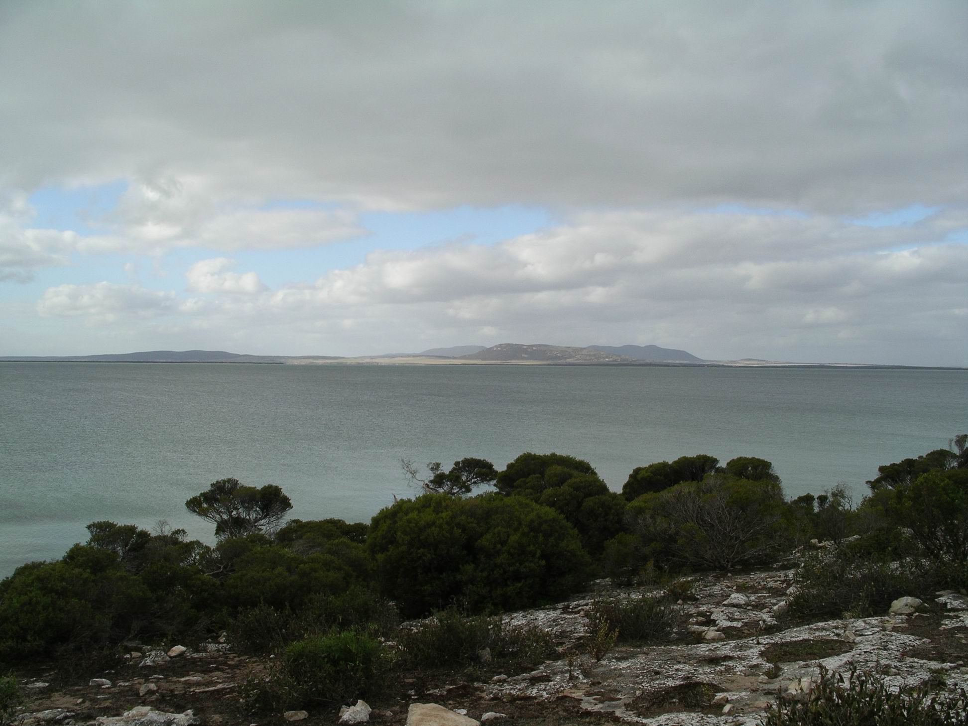
We were travelling a familiar route, interesting enough though. I still could not make up my mind what I really thought of the long march of wind farm towers that dominated the ridge lines as we travelled along the western side of the low ranges. There seemed to be more of these every time we came this way. They do have an eerie kind of beauty.

Had a coffee break at the punt area at Morgan, just as we had a few weeks ago.

The Morgan punt

Refuelled and ate lunch at Renmark. Again, John wanted to continue on. So I phoned the caravan park at Gol Gol and booked us into an ensuite site – a touch of extra comfort for our last camp of the trip.

We traversed the rather monotonous stretch between Renmark and Mildura. Crossed the Murray into NSW and went on to Gol Gol, some nine or ten kms from Mildura.

Our site at Rivergardens Caravan Park at Gol Gol cost $27 a night. M had an ordinary site, some distance from us. Our site was on the small side, the access road in front of it was narrow, and it took some backing and forwarding to get us into it. We could not stay hitched up. It was not a particularly attractive site, just gravel.

The site to our left was a corner one. We had just about finished out setting up when a larger caravan than ours arrived by that site. The man stopped to look at it, then drove around the loop road past us, in order to approach his site from the back and drive through onto it. He was clearly in a foul mood which we could tell from his comments and expression, was not improved upon viewing his site. He drove far too fast around the loop road, charged onto his site – and clipped the security light post, taking off a van mudguard and scraping the van side down the post. It made a really loud noise. His lady, who was standing watching, didn’t say a thing. We tried to look as if we really were not paying any attention!

The man got out of his 4WD, began to unhitch, then – when he went around the other side – looked at the van damage and said “When did that happen?”. Maybe he was deaf as well as bad tempered. It really was quite a mess – but what a clown! We avoided any interaction with him, though I felt rather sorry for the lady.

With M, went for a walk along the road near the park, past a lot of very substantial homes that had frontage to the Murray River. As did our caravan park – but its river frontage, and views, were occupied by cabins, not van sites.

We did note in our walk, that there were some much nicer, grassed sites on the other side of the park – but they were not en-suite.

We had our happy hour by our van, with M, talking over highlights of our trip. It certainly had gone by really quickly.

Tea was chicken noodle soup, with added creamed corn, ham and egg.


Leave a comment

2010 Travels May 18

TUESDAY MAY 18     PORT LINCOLN TO PETERBOROUGH     475kms

The alarm went off at 7am. There was a heavy fog outside – a real pea-souper. M’s tent was very wet. We did not hurry breakfast and our pack up, knowing that she’d be delayed. Left the park at 9am.

It was a pretty drive, along the east coast of the Eyre Peninsula. As we’d told ourselves on earlier trips, some day soon we must return and really take our time down this section, exploring the small places.

We had a coffee break at Cowell, and a lunch stop at Whyalla, in a sort of park, overlooking a wetlands development. That was a pleasant place for the break.

Fuelled up at Port Augusta, as we had done so many times before, over the years since 1993.

John was feeling fit enough to continue on to Peterborough, rather than stay a night here.

We suggested that M lead the way through the uphill, winding Horrocks Pass. Usually she preferred to follow – at a good distance – but we knew our rig would be slower than the Troopy through here.

Just after reaching the top of the Pass, a whooshing noise was to be heard. It was immediately obvious that a tyre on Truck was going down. John thought it was maybe a valve issue – related to having let down the tyres at Coffin Bay. Fortunately, there was adequate room to pull over and change the wheel. In one sense the fates were on our side – it could have been quite tricky if we’d had to change the wheel part way up the Horrocks Pass climb.

Meanwhile, M was waiting for us in Wilmington….. and waiting….. Our CB’s wouldn’t connect, due to hills and distance. Eventually, we were able to exchange text messages, and we caught up to her in Wilmington.

Then, about 30kms short of Peterborough, M radioed us, from behind, that it was her turn for a flat tyre! The passenger side rear one, just like ours had been. We managed a U-turn and went back to help her change the wheel.

So, we were considerably later than intended when we reached Peterborough. It was almost dark.

We got adjacent sites, for $26, and did a basic set up only. M put up the roof tarp that would give her a bit of shelter while she cooked her tea at the back of the Troopy.

Peterborough camp the next morning

Tea was Mongolian lamb – with help from a packet mix – and rice.

All were tired after the long and eventful day, and went early to bed. It was a freezing cold night.


Leave a comment

2010 Travels May 17

MONDAY MAY 17     PORT LINCOLN

Yesterday a new outfit came onto the next site. Someone in there snored really, really loudly, through most of the night. I felt besieged – snorers within and without.

There was some light drizzle overnight and a heavy sea fog. This morning, there was much condensation under the awning, and drips everywhere.

Straight after lunch, John phoned Telstra because his laptop was not working properly and would not connect to the internet. A couple of days ago, he received an email from someone unknown, asking him to check the attached resume. He didn’t pause to read the sender information, just saw “resume” and assumed it was from daughter, whose resume he’d helped with a few weeks ago. He opened it. Bad mistake. There was, apparently, nothing there, of course. Then his protection program told him his computer was under attack. Now, he couldn’t get onto the internet.

John spent a lot of time talking to Telstra. No solution was found. He didn’t tell them about the email he’d opened – too embarrassed! So now they think he has a problem with the modem.

We drove to the town centre and returned the Whalers Way key. Yesterday, we’d arranged that, thinking we could well be back after  closing time at the Information Centre.

In the Lincoln National Park

We walked the ship commemorative walk along the foreshore. Plaques along this pathway featured ships that had, at some time, been associated with the town and area. Boston Bay was a natural deep water harbour and so shipping had been an integral part of the town. The wharf complex still provided an import/export facility for the Eyre Peninsula – evidenced by the big grain silos there and the rail lines to the jetties.

Port Lincoln foreshore walk

As we walked, out attention was drawn by much bird noise. We could see flocks of seagulls following and trying to land on loaded trucks that were leaving a wharf. We realized that these trucks contained the food used at the tuna farms – obviously seagull food too.

Did a small grocery shop. Had coffee at the good coffee shop. It was unusual for John to partake of same – but he was outvoted this time. Had a Subway lunch.

Bought up big at the seafood outlet shop – whiting, kingfish, tuna, all of which I then froze, and some oysters too.

We did a partial pack up of the camp. Took down our awning in case it got wet in the night to come.

Tea was an oyster entree for John, then we both had sausages and mash.

We had squeezed as much time in these parts as we could, given John’s appointment schedule, but now it was time to head for home. I planned our stages to provide some slack, not knowing how John would manage on any given day.


Leave a comment

2010 Travels May 16

SUNDAY MAY 16     PORT LINCOLN

I woke feeling somewhat better, but still not one hundred percent. However, the forecast was for a weather change for the worse after today, so it was decided we had to do the Whalers Way drive today.

Whalers Way is a route around some absolutely brilliant coastal scenery to the south of Port Lincoln. The gravel track is on private property and access is strictly monitored. As the name suggests, there are some associations with the whale hunting of the early colonial times.

Off we went to the Information Centre in town, where we paid $30 for our permit to do the drive, and were given an access key, and map.

Initially, our route was the same as a couple of days ago – to Tulka. But then we kept straight ahead, passing the Sleaford Mere Conservation Park. Sleaford Mere is a large lake, at the area where the Jussieu Peninsula – where the Lincoln National Park is – joins the main land area. If Sleaford Mere was a bit larger, the Peninsula would be an island.

There was whaling activity in these parts, briefly, in the period around 1840. The names of various features around the drive, developed by the local farmer on his land, are largely whaling related. The actual whaling “settlement” was at Fishery Bay, by which the drive starts. This was as far as open public access went.

Fishery Bay

At the entrance station was an old blubber pot, in which pieces of whale would have been boiled down for oil.

At the Information Centre, we had been shown which of the side tracks off the main drive, to various features, were able to be driven, with 4WD, and which were best walked the relatively short distances involved.

First stop was by a track to be walked, to the Swimming Hole. Or, to be more accurate, to the cliffs above same.

The Swimming Hole

There were superb coastal views, the cliffs, and a very small, smooth pool.

Despite its name, attempting to try for a swim there would have been a foolhardy exercise, given the cliffs and the unpredictable nature of rogue waves in these parts. But it looked lovely.

Next, we walked the track to Whalechasers Crevasse. As named, a narrow inlet.

Whalechasers Crevasse

It was clear that more than this one day would be needed for us to visit every named feature along the drive. Our aim was to get a fair sampling of the variety on offer, so we did not detour to every possible place. Ate our packed lunches at the designated picnic area.

Cape Wiles was where the coastline “turns the corner”. The coastal rock formations here were unusual – small triangular shaped islets of rock.

At Cape Wiles

Between Cape Wiles and Cape Carnot, to the west, the cliffs faced south.

At Cape Carnot we investigated the Blowhole and Baleen Rock Pool.

Baleen Rock Pool at Cape Carnot

From this Cape, the coast swung away to the north west.

Coast beyond Cape Carnot, and windfarm

The geology of the rocks here is such that the pounding of the huge seas of the Southern Ocean has been able to open up long narrow crevasses along lines of weakness, or joints in the rock. Theakstone Crevasse was a great example of this – so narrow you almost felt you could jump across it, so deep that common sense prevailed!

Theakstone Crevasse

We continued on to the end of the track, at Red Banks. On the distant hills, there was a large wind farm.

Red Banks

Red Banks had obviously been named for a distinct red layer of rock occurring in the otherwise white/grey cliffs of the area. There was a rough camp area here, open, exposed, on sandy gravel.

We wandered about there, for a while. I’d gotten tired, after lunch, and left M and John to do some of the walking to features without me, whilst I waited in the parking areas.

Whalers Way was a dead-end track so we had to return the way we’d come. The main track was a good firm gravel surface, with no tricky driving at all involved. I suspected that the lack of a sealed road, plus the cost, deterred many visitors to these parts from tackling it. That was probably good in conservation terms, preventing “over love”, but it was certainly an experience we would recommend to any of our friends visiting here.

It was a great day and worth every cent of the $30 fee.

We got back to camp about 5pm. Tea was whiting and fries.


1 Comment

2010 Travels May 15

SATURDAY MAY 15     PORT LINCOLN

I woke in the morning feeling poorly, after a restless night of bad dreams and disturbed sleep.

John had come to bed late, after playing games on his laptop, and that woke me. Then his “heavy breathing” kept me awake. It was a really cold night, too.

After I got up, couldn’t stop shivering. I didn’t feel like Weetbix – or even coffee, so decided I must be sick! Bugger – for a while there, thought I had whatever bug it was, beaten.

We took me off to a clinic, where a temperature of 40 degrees was measured, and urinary tract infection confirmed. A strong antibiotic was prescribed, with orders to drink lots of water and cranberry juice. We bought the necessary items and went back to camp.

I went to bed. John went to bowls. M went off for a drive and a walk in the National Park. They enjoyed their various afternoon activities.

M’s outfit about to take off – Port Lincoln

Food did not interest me, so John and M went and bought themselves KFC for dinner. Always a welcome treat for John!

An early night was had by all.


3 Comments

2010 Travels May 14

FRIDAY MAY 14     PORT LINCOLN

After breakfast, we set off to explore some of the Lincoln National Park.

We followed the coast around from Port Lincoln, along the Proper Bay road, to Tulka, then went east around Proper Bay Road to Cape Donington, at which point we were directly across the bay from the town, which we could see in the distance.

We left the vehicles at the parking area by the Cape Donington Lighthouse, and then walked the 6km Donington Circuit Walk. This took us over rocky outcrops. through coastal scrub and along some sandy beaches.

On the eastern side of Cape Donington
She wouldn’t be doing this if it was still alive….
September Beach and Cape Donington Light

From September Beach, the track cut back inland, supposedly to the other side of the Cape and then back to the start. However, we mislaid the track on the inland section, where there were lots of vehicle tracks, and no signage. So we short-cut the last part, walking up the main road instead.

We probably walked about 5kms in all.

After that foray, drove around to Fishermans Beach and ate our lunch there.

Fishermens Beach

The coves and beaches, and rocky points, out here, were really pretty.

Drove around past Spalding Cove and Surfleet Cove, to the parking area below Stamford Hill. A short walk track went up to the top of the hill – only about 500 metres – where there was a monument to explorer Matthew Flinders. John was very tired by now, so we didn’t do the Hill walk, but watched birds whilst M went off and did the walk.

We got back to camp about 4pm, after a great and scenic day out. The Lincoln National Park was definitely worth visiting – for day trippers like ourselves, or for campers. As with Coffin Bay National Park, if we’d had more time, we would have thought very seriously about bringing the van out and staying a few days in the Park.

Tea was kingfish dipped in tempura flour, and fries. Very nice fish. The availability of good seafood was another plus of staying in these parts.


1 Comment

2010 Travels May 13

THURSDAY MAY 13     COFFIN BAY TO PORT LINCOLN   45kms

Despite prior performances. we were packed up and in Port Lincoln by 10.15am.

On the way out of Coffin Bay, we drove up to the lookout over the town and surrounds, knowing that there was plenty of room up there for the rigs.

Coffin Bay township from Lookout

The vegetation around the lookout had really grown up since last we were there.

M caught another mouse last night, so – hopefully – that cleared them out of the Troopy.

The Port Lincoln Caravan Park was a big one, but it had some strange sites. The park was on a hillside that sloped down to the sea, which made for some magic views. Sites were terraced down the slope, but not all of them were even.

On the phone, I had said that we had an 18 foot van – which we did, if one counted the drawbar. I didn’t know if the Reception people had no concept of size, or didn’t know their sites, or just didn’t care – or all three! We had to do a lot of manoeuvring about, to fit onto the site we were allocated, which sloped from back to front, and sideways too, for good measure. Even with a block of wood under one wheel, we would still be sleeping heads downhill. There might be problems hitching up again, as the car and van would be on quite different levels.

M was able to fit her tent on the site allocated, next to us, but there was no room for the Troopy, except for parking it on a very small site next to her.

We should have walked down and inspected the sites, before taking them. You would think we had learned that basic precaution by now. But we had so rarely had any problems, especially in a big and popular place like this, that we had become complacent.

Up the hill from us were some rows of drive through sites. They had easy access, and great views, but there was not enough room for them to put out awnings. A strange park indeed.

The cost of our site, after discount, was $23.40 a night.

The price for the wonderful  views across the bay was that it was windy, most of the time.

John went off to bowls. I did a load of washing, pegging it out on the line very firmly!

Today, I felt quite well again. All a bit of a mystery.

M and I walked the Parnkalla Trail – a walking trail that follows the coast from the Marina around to the port area. After a little detour around the main wharf area, we were back on the foreshore walking track, to the town centre. It was a pleasant 5km walk to get from camp to the centre.

Port Lincoln with caravan park location shown (Google)

We bought an excellent coffee at a cafe and sat taking in the beautiful outlook over the bay.

Walked a more direct route back to camp, via streets, but what the map didn’t show us was that it included a big hill. We must have walked about 9kms in all. The soles of my feet were sore, and I had a back ache. Couldn’t walk all day like once I could!

John got back from bowls about 4pm, having enjoyed his game.

It got even windier later in the afternoon, and turned really chilly.

Tea was pasta with a sauce I made up, based on mushrooms, ham and cream.


Leave a comment

2010 Travels May 12

WEDNESDAY MAY 12     COFFIN BAY

M and John were up and away early, to go to Port Lincoln to do the boat trip they had booked.

I was able to sleep in until 9am – a nice luxury. While I had the chance, gave the van a good clean and tidy, and then spent some time on the laptop.

The tourists got back about 2pm. They thought the cruise had been good value. The boat only took eight passengers at a time, so there was attention for all. They gained lots of snippets of interesting information, about Port Lincoln and its area, and about tuna farming. They got to taste some of the highly valuable sashimi tuna. Port Lincoln was reputed to have the greatest number of millionaires, proportional to its population, of anywhere in Australia – due to the tuna industry.

Whilst still in Port Lincoln, they went to a chemist to buy some alkalinizing stuff for me – a product that M said her friend had taken, last year, when she had the same affliction during their Canning trip. The chemist told them I absolutely had to see a doctor, so they’d found an appointment for me – at 11.15 tomorrow.

I was actually feeling a bit better today – last night might have been the turning point. So I didn’t think I needed to see a doctor. That appointment would make tomorrow’s schedule really tight, as we were planning on moving from Coffin Bay to Port Lincoln, and John was booked in for bowls at 12.30. So I phoned and cancelled the appointment.

I also phoned and booked us into the Port Lincoln Caravan Park for five nights. We would use that as a base from which to explore the Lincoln National Park.

Went for a final drive out to the National Park – to the Point Avoid area.

Explored the side tracks to Flat Rock, Golden Island Lookout, and Almonta Beach too.

Near Flat Rock
Flat Rock area
Avoid Bay Beach
Point Avoid Lookout – Price Island
Golden Island Lookout
Almonta Beach

We contemplated driving the very sandy track through the dunes to Gunyah Beach, but the afternoon was getting on. John and I had been there before, and M was not keen enough on the idea to be bothered going through all the tyre letting down rigmarole – so we passed on that one.

Coffin Bay dusk

Tea was chicken thighs cooked with a packet satay sauce, with rice. Despite his aversion to coconut milk, John really liked it.

Another really cold night.


Leave a comment

2010 Travels May 11

TUESDAY MAY 11     COFFIN BAY

In the wee small hours of last night, we were woken by a really loud bang. Lay and listened for a while, but heard nothing more. In the morning, M told us that a roo had bounded full pelt into the side of the Troopy. It woke her up with a hell of a fright. Apparently, it was determined to maintain the course it was on, and crawled and scrabbled under the vehicle to the other side.

She had just gotten back to sleep, when a mouse trap went off in the drawer under her bed. Because the drawer was metal – and empty – that made a fair noise too. One mouse less. The roo did not appear to have damaged the Troopy. M was less than enamoured with wild life, right now.

On a day that was overcast, with occasional showers, we drove to the National Park.

First stop was Templeton Lookout, where there were great views over the bays and inlets of Coffin Bay, and towards the ocean in the other direction.

Looking towards the ocean from Templeton Lookout

On to the Yangie Bay area, where we walked the Lookout Walk circuit – about 2kms.

Little Yangie Bay – part of the larger Coffin Bay

Along the way, we looked at birds, admired the brilliant scenery, took photos.

Weather variable….

The walk was well worth doing, through thick but low coastal scrub and trees.

Casuarina on the Yangie Bay track

Ate lunch at the Yangie Bay camp area, which was a lovely place, with tent nooks tucked away in the trees, and close to the sea. The van section, though, was further up the hillside and open, bare, unattractive. Had we been able to park the van in a “tent” site, we’d have been strongly tempted to move out here next.

Next, we tackled the drive to Black Springs, some 13 kms away. After a couple of kms, reached Lake Jessie and there we had to deflate the vehicle tyres, to be able to continue through the sand dunes.

Deflating tyres in order to continue through the sand

The track was a mix of sandy surface, alternating with rough, rocky stuff. Originally, we’d hoped to go and drive along Seven Mile Beach, as John and I had done in ’93. However, because there was a kangaroo cull happening, there was no public access beyond Black Springs. The drive that far was lovely, though. I really enjoyed the coastal bush and the scenery in general.

We went for a short walk at Black Springs, then retraced our route.

Black Springs

Used our air compressor, with its inbuilt air storage tank, to re-inflate our tyres at Yangie Bay. That was such a great tool to have, fixed as it was and wired in, tucked under the rear passenger seat, with the tank under Truck. Much easier than fiddling about with a portable compressor. Over the years, it had been worth every cent it cost to have it installed, back at the beginning of our travels.

Back to town, along the beautiful drive beside the bay.

I had not felt properly well, all day, and was in quite a bit of pain. It was not the greatest condition in which to be travelling over rough tracks, but I was glad we had done the drive – such a beautiful area.

A hot shower seemed to ease the pain somewhat, but I didn’t feel like any dinner. Made some pasta with a bottled sauce, for John, and M had the portion that would normally have been mine.

The night was very cold, and I had feverish bad dreams. The degree of pain was such that I wondered if, in fact, my occasionally grumbling appendix had come to life again.


Leave a comment

2010 Travels May 10

MONDAY MAY 10     COFFIN BAY

It was an overcast day, with some rain.

After a leisurely start to the day, we drove to Port Lincoln. At the Information Centre, we bought an 8 week Parks Pass, for $27. M did the same.

We did a little shopping while there. M actually managed to buy some mouse traps and I could see an evil gleam in her eyes.

I had been feeling increasingly unwell over the past couple of days and was now starting to think I might be developing a urinary tract infection. It was decades since I’d had anything like that, and so I wasn’t really sure. I tried to buy some barley water at a health food shop, but they had nothing like that, so I bought barley at Safeway and made my own, back at camp.

Had a Subway lunch in Port Lincoln, before driving back to camp. Subway seemed to have replaced KFC as John’s travelling lunch of choice. I think he thought it was healthier.

We lazed about for the rest of the day. I was feeling very tired – always an ominous sign for me of something being amiss.

Lazing about at camp

Tea was open hamburgers – for all of us. I made special meat patties and served them on a half roll, with all the usual hamburger additions and extra salad. They were very yummy – but huge.