This Adventurous Age

Adventures travelling and working around Australia.


Leave a comment

2007 Travels July 22

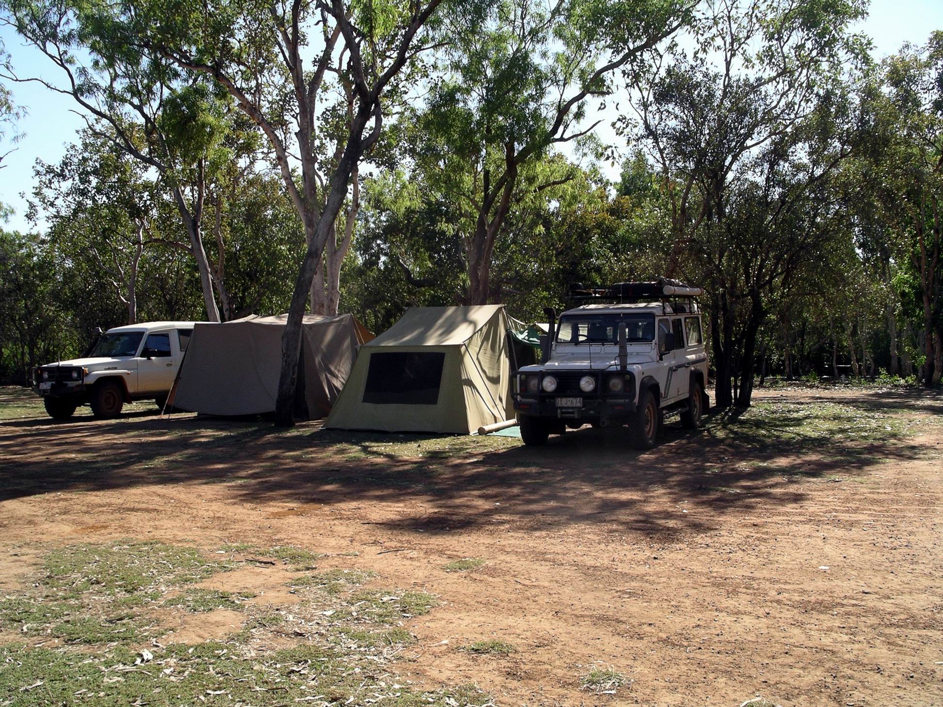
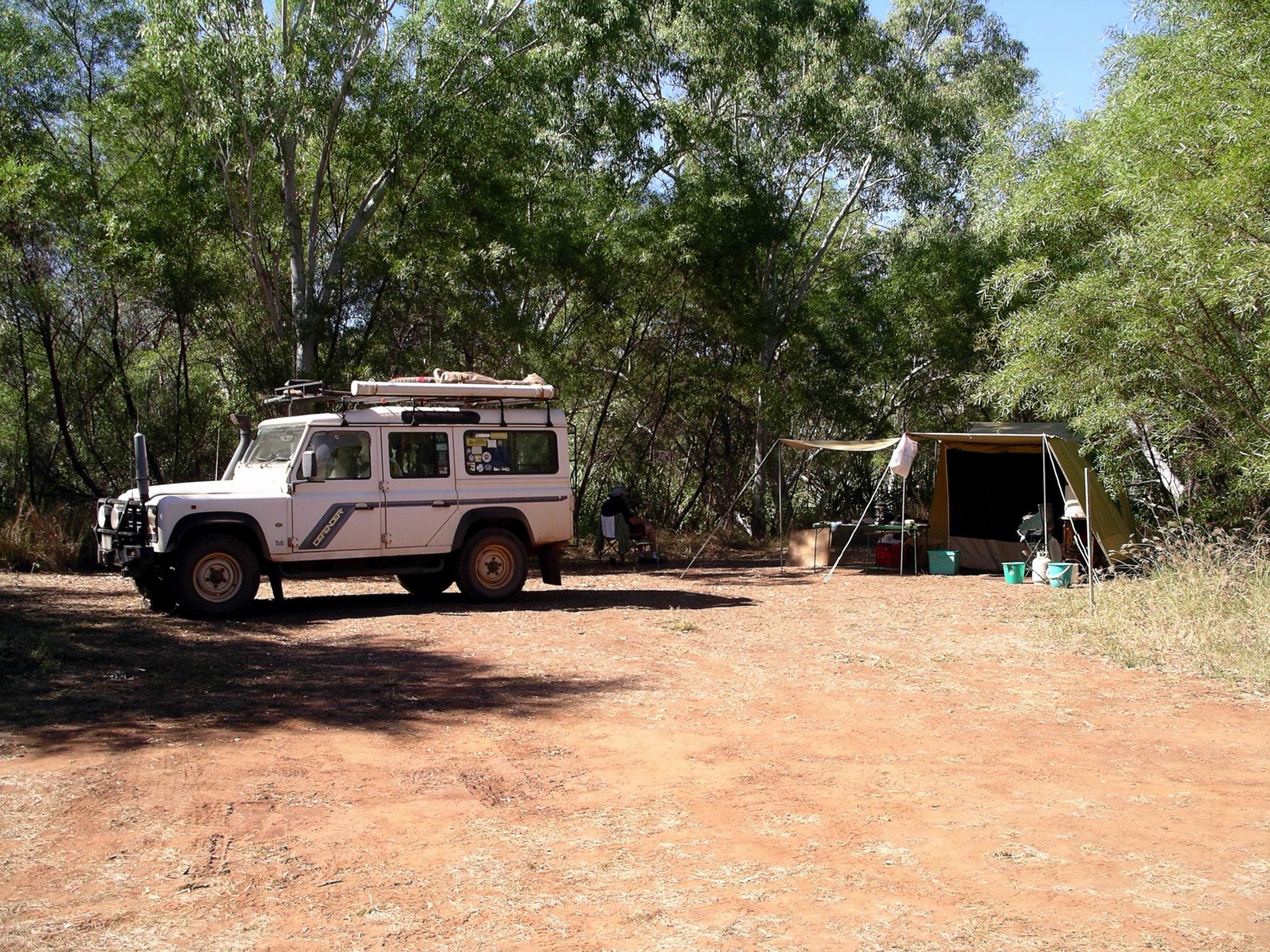
SUNDAY 22 JULY     MANNING GORGE CAMPGROUND

After getting going at a respectable hour, we drove back west along the Gibb, to Galvans Gorge, some 14kms from the Roadhouse. We’d passed the turn off yesterday, but had wanted to push on and get camp set up, before the afternoon rush arrived. Today, we were in the mood to linger…..

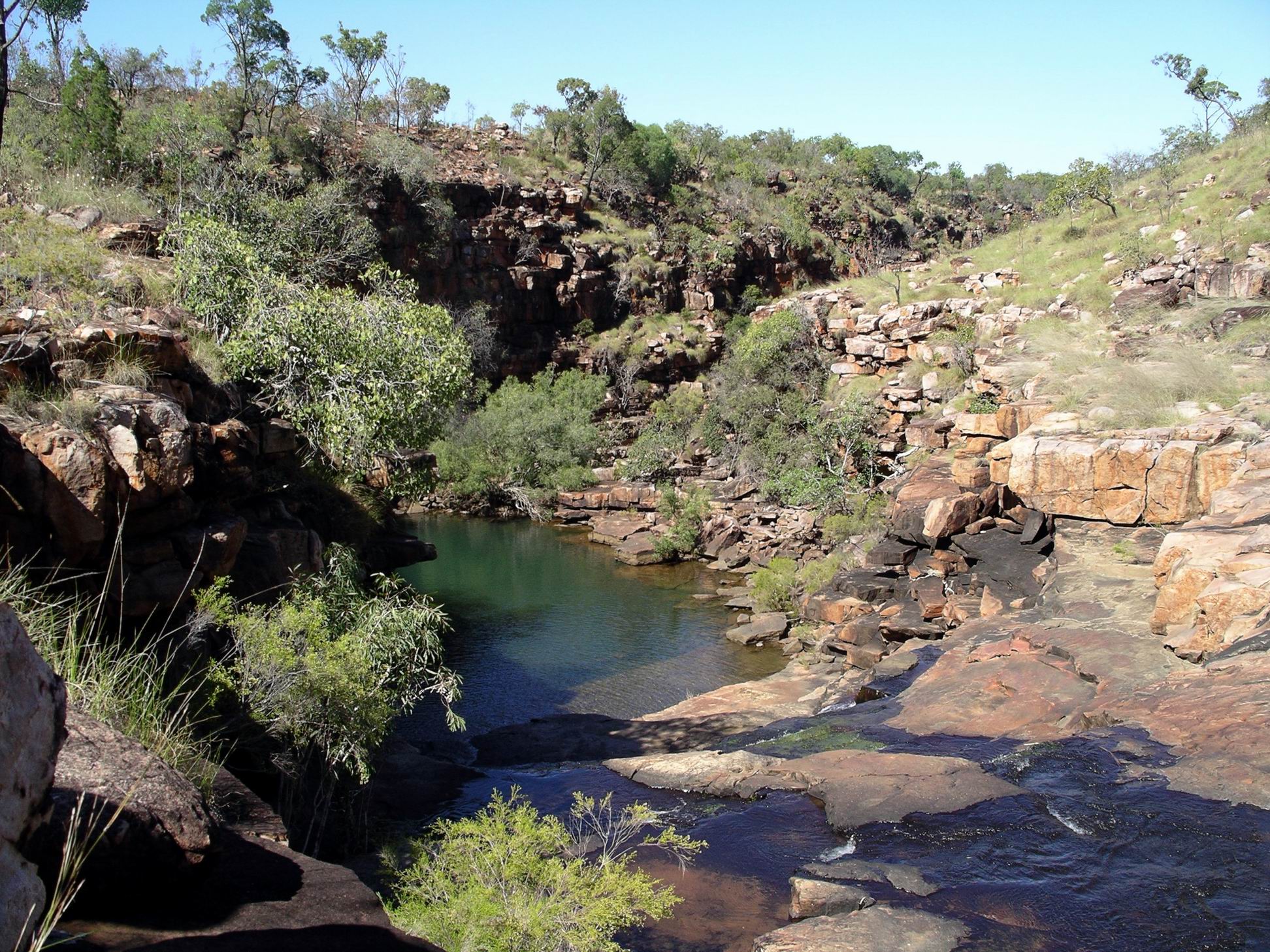
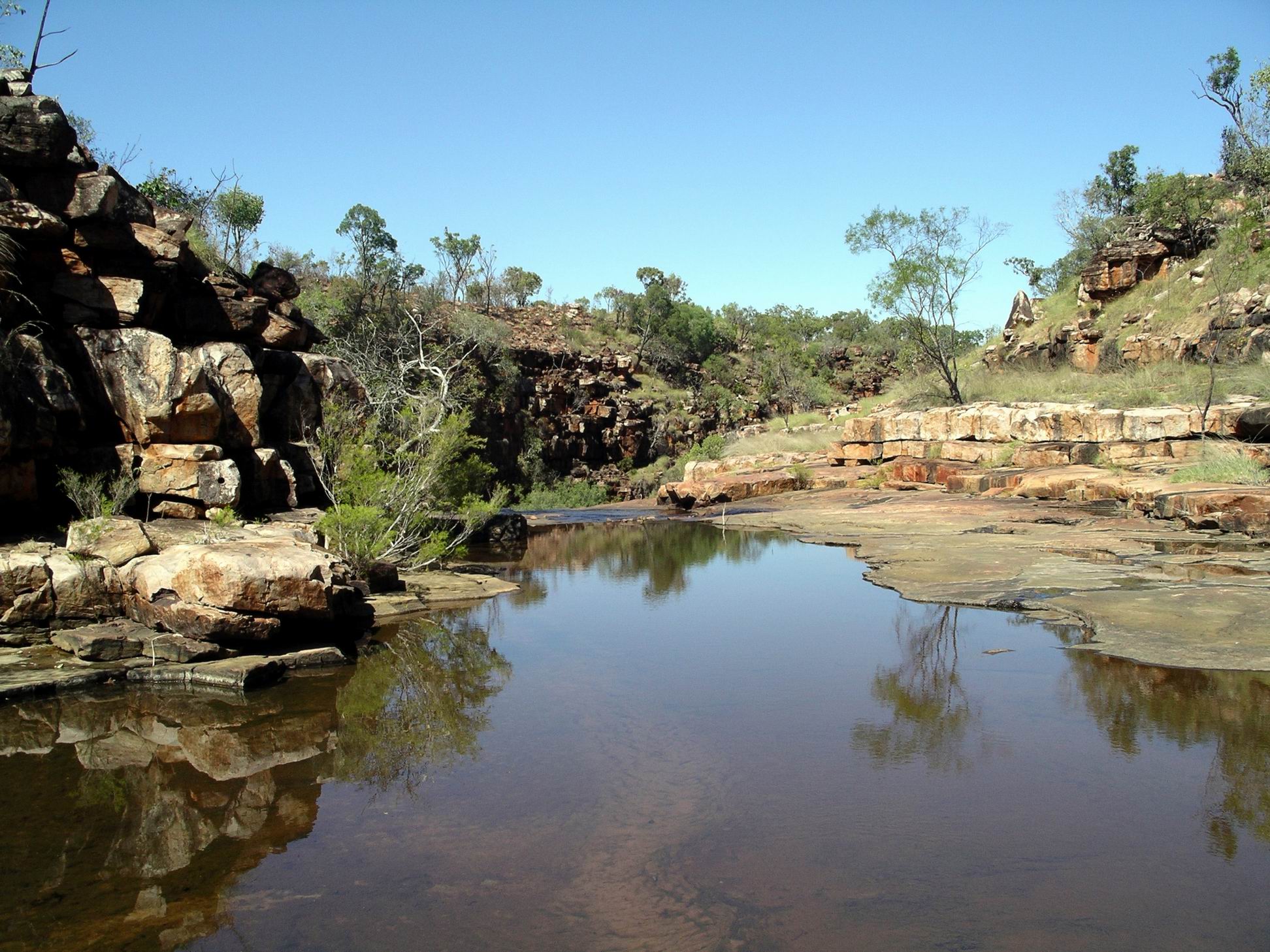
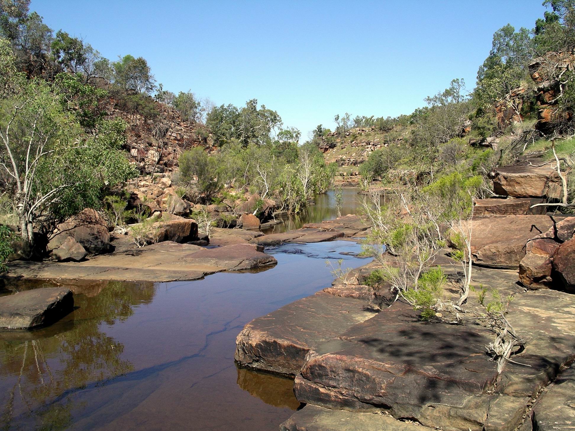
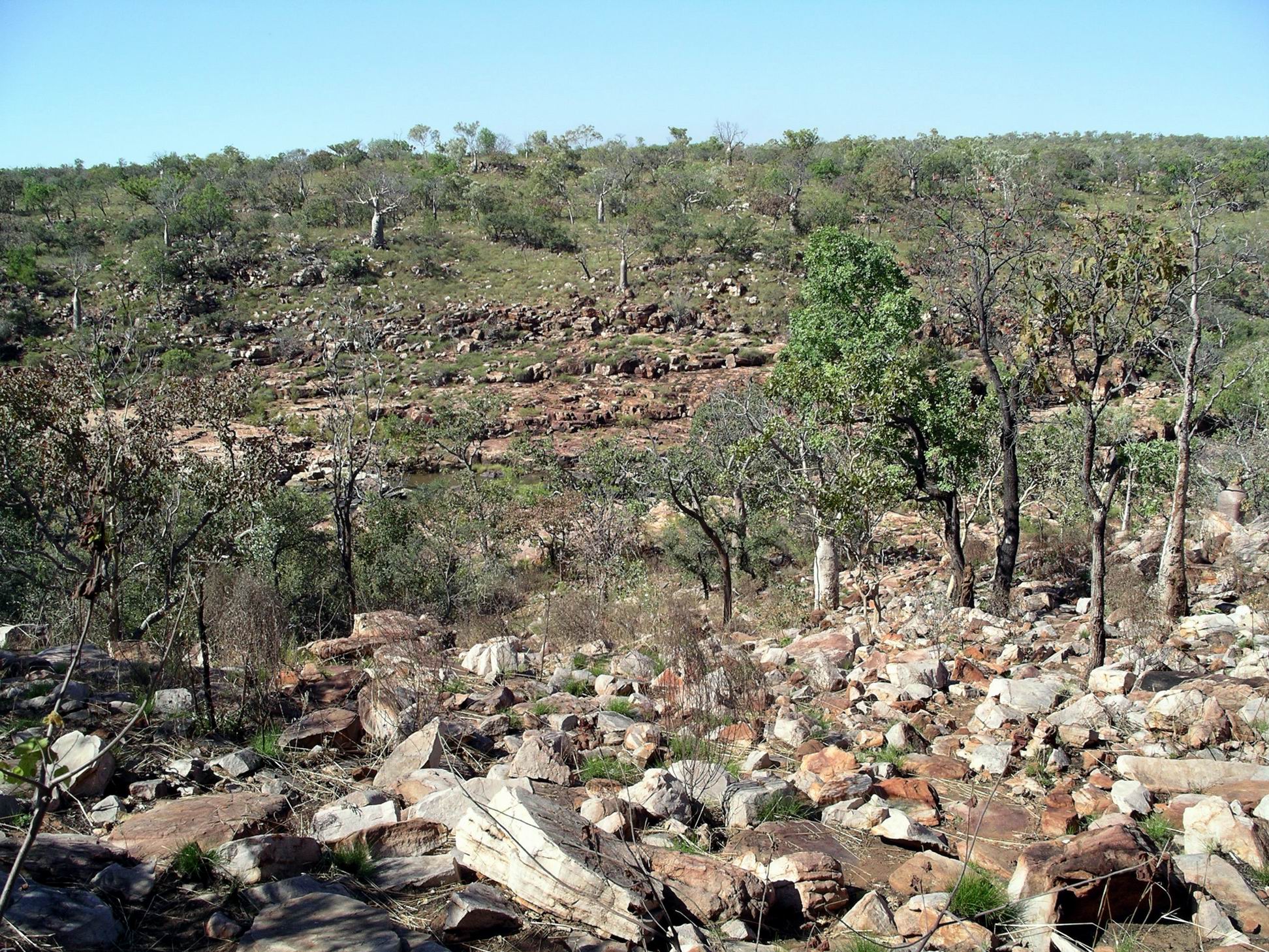
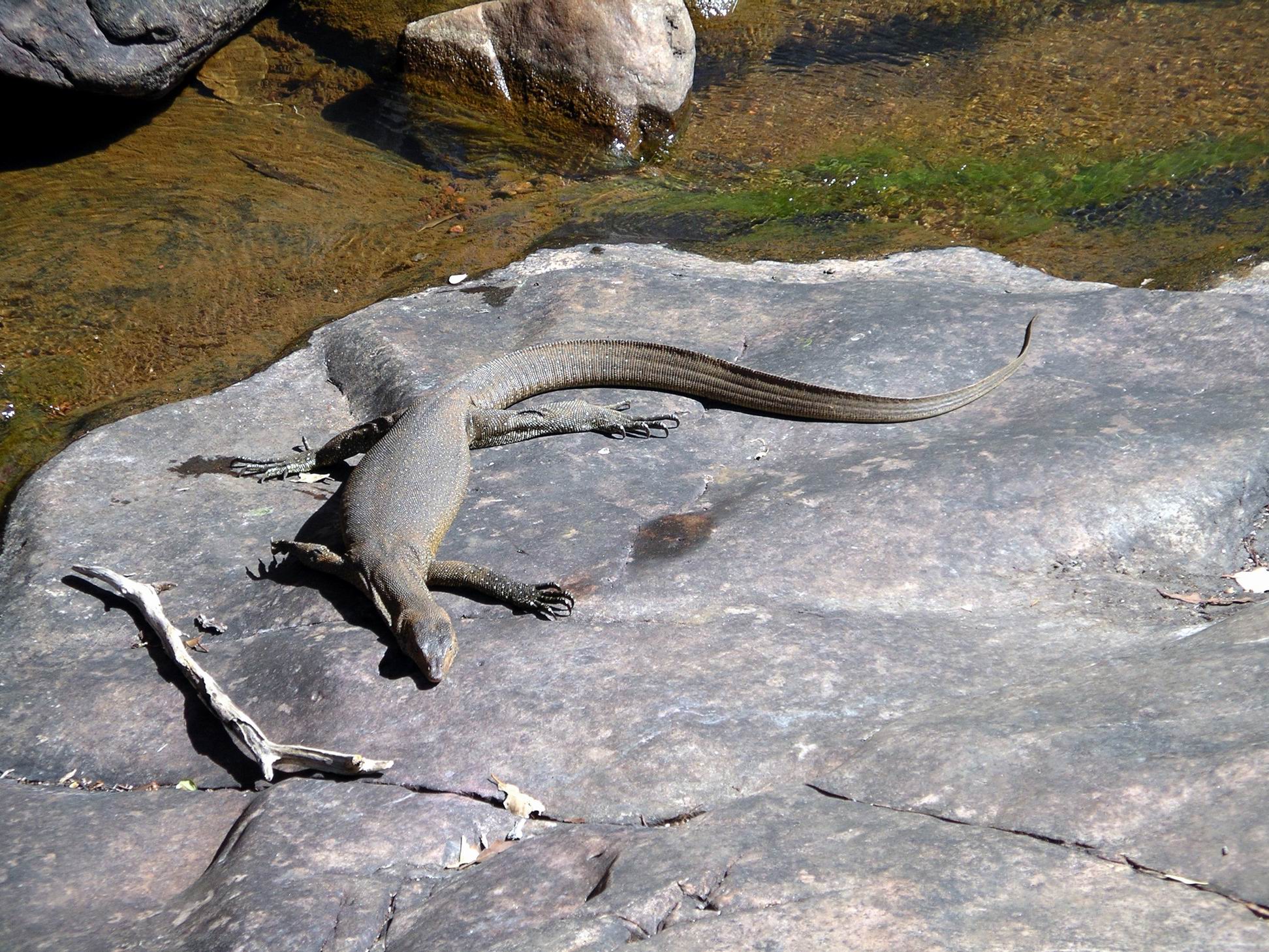
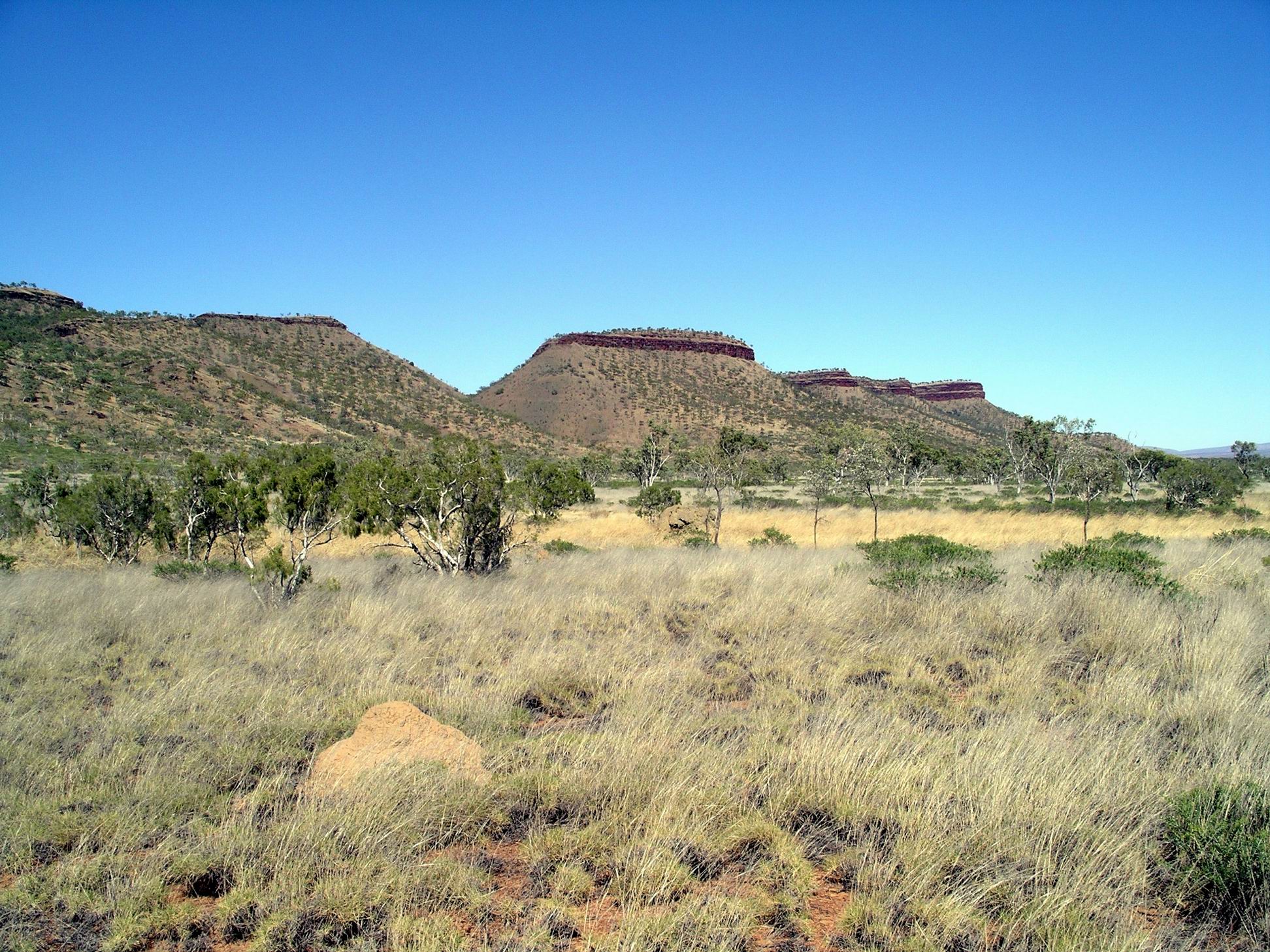
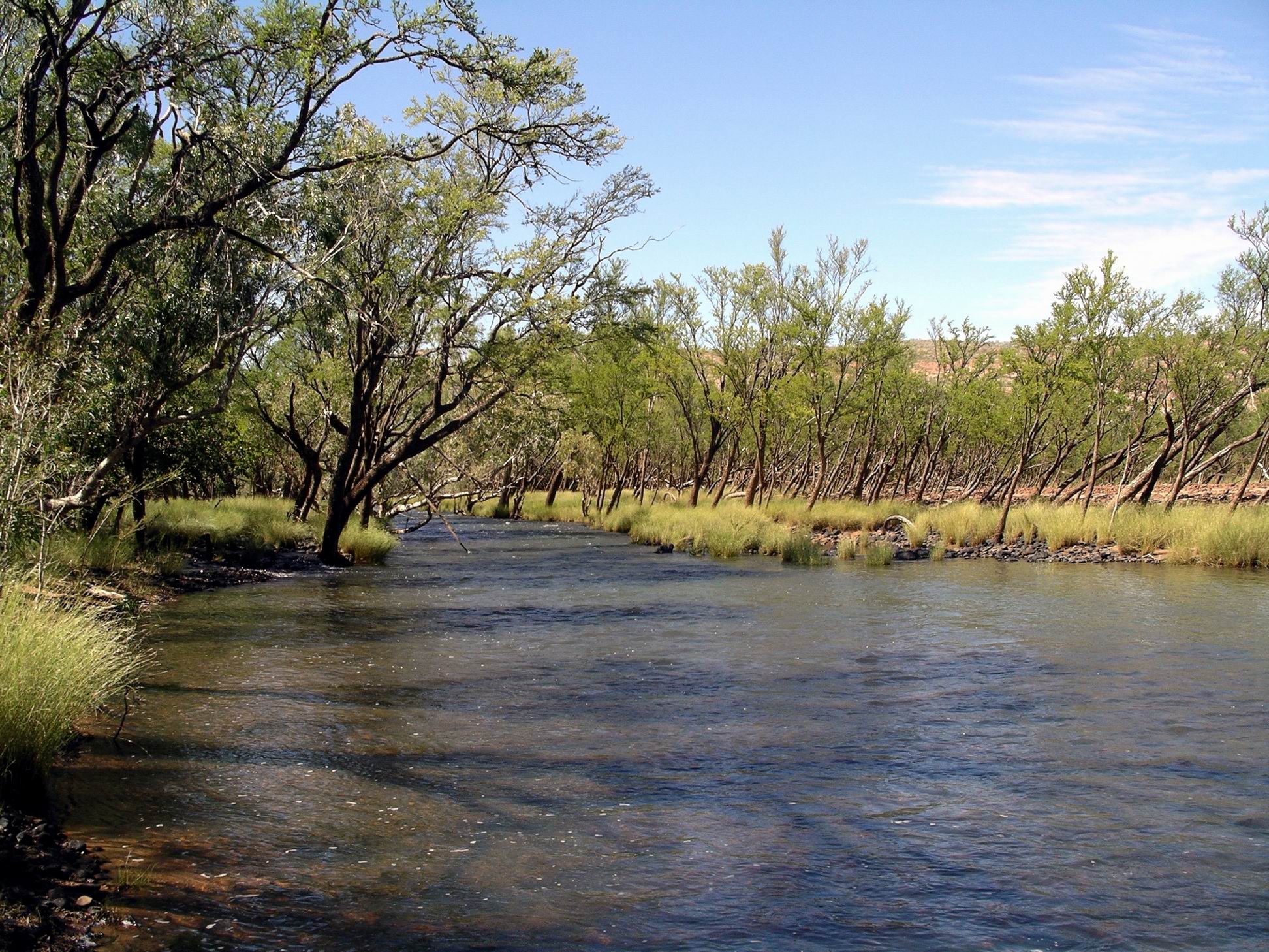
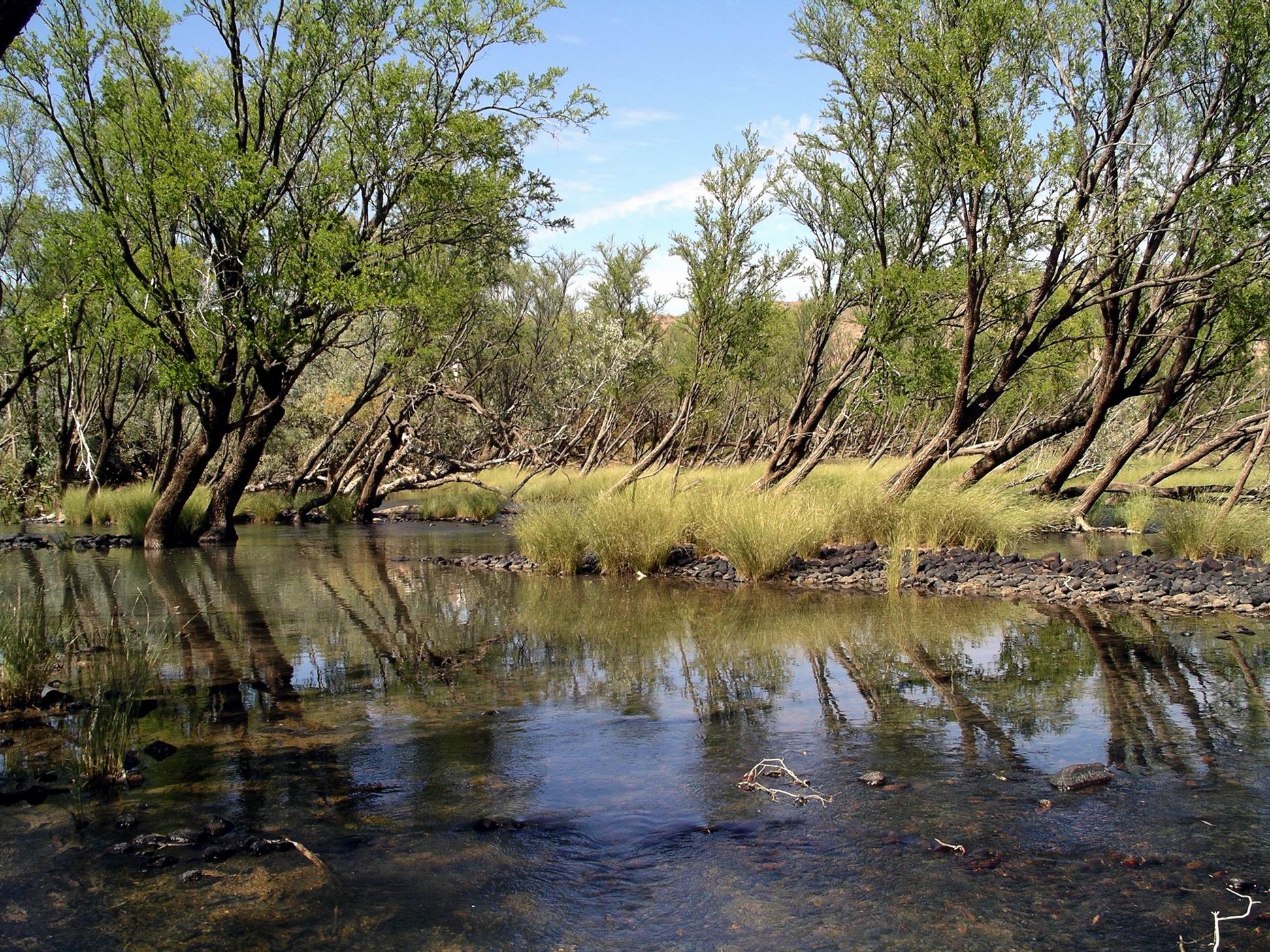
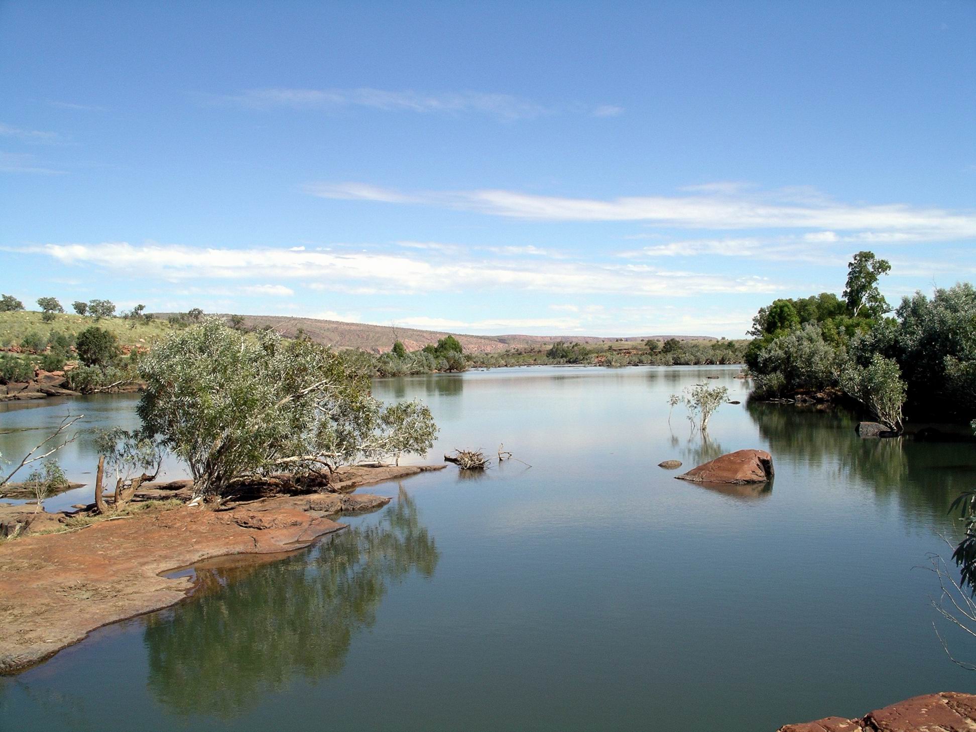
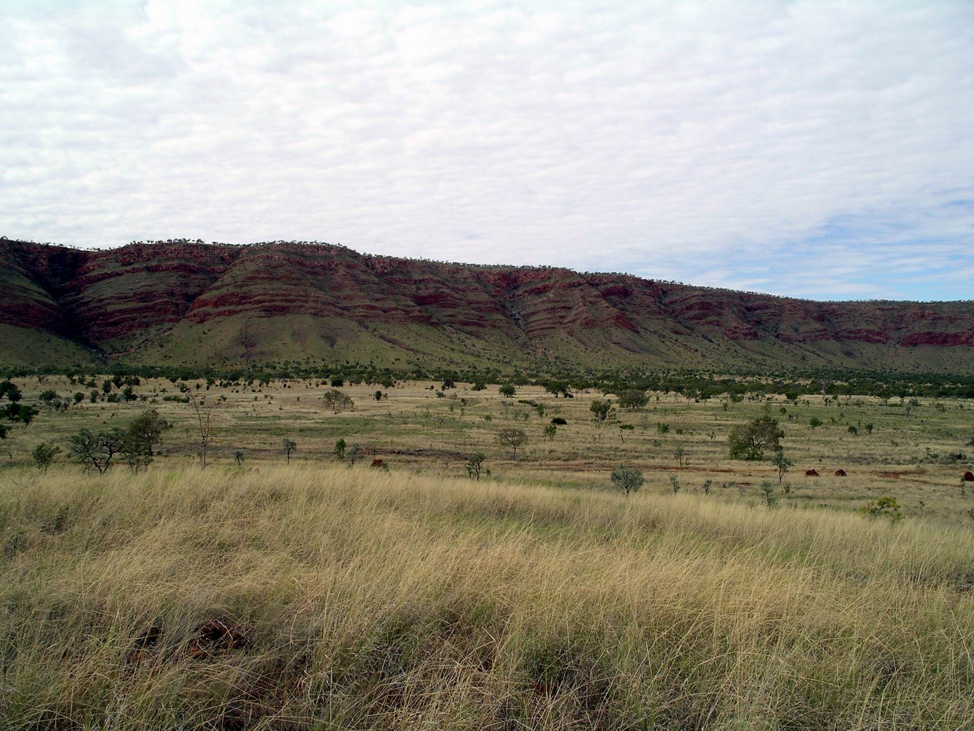
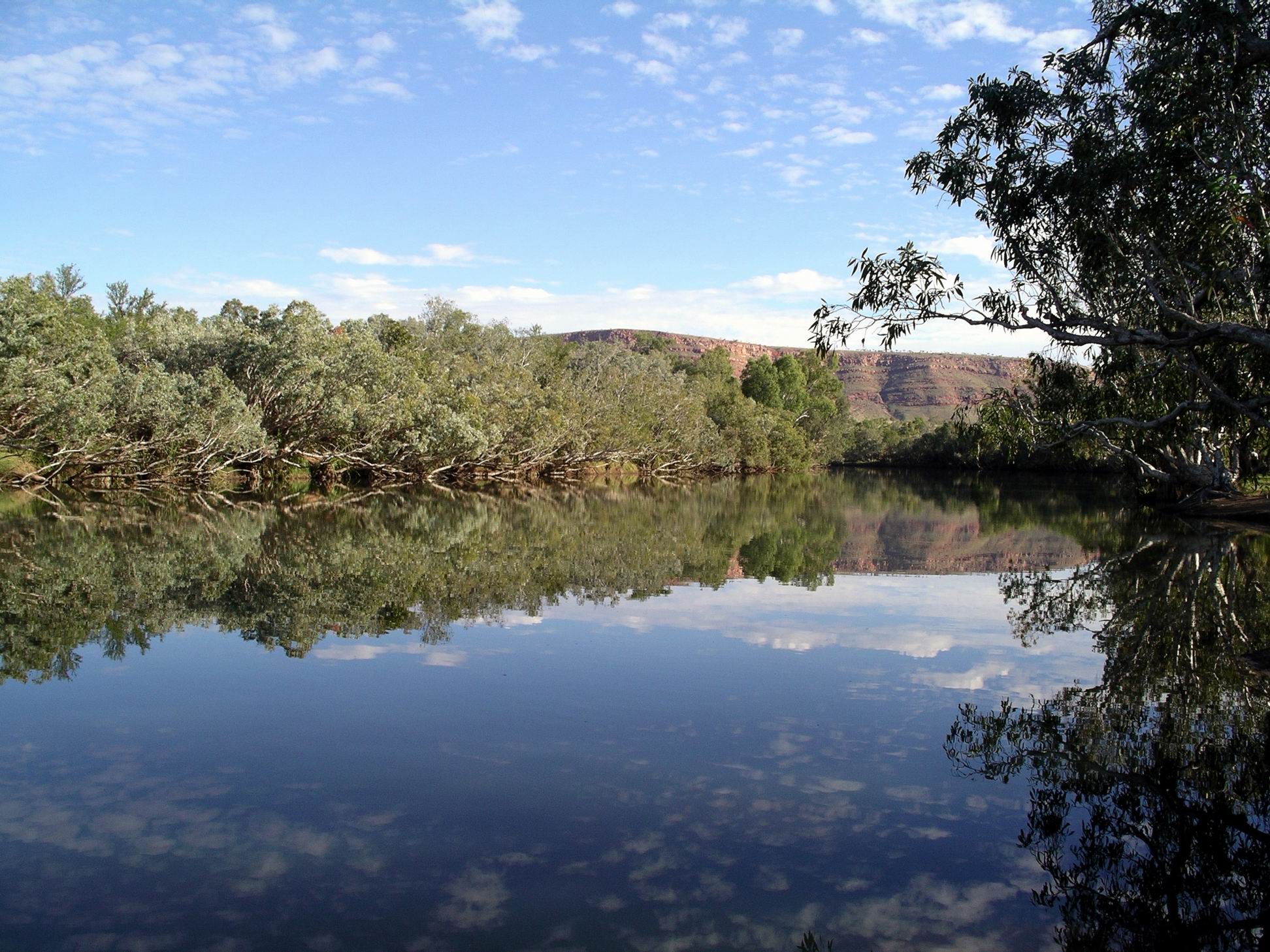
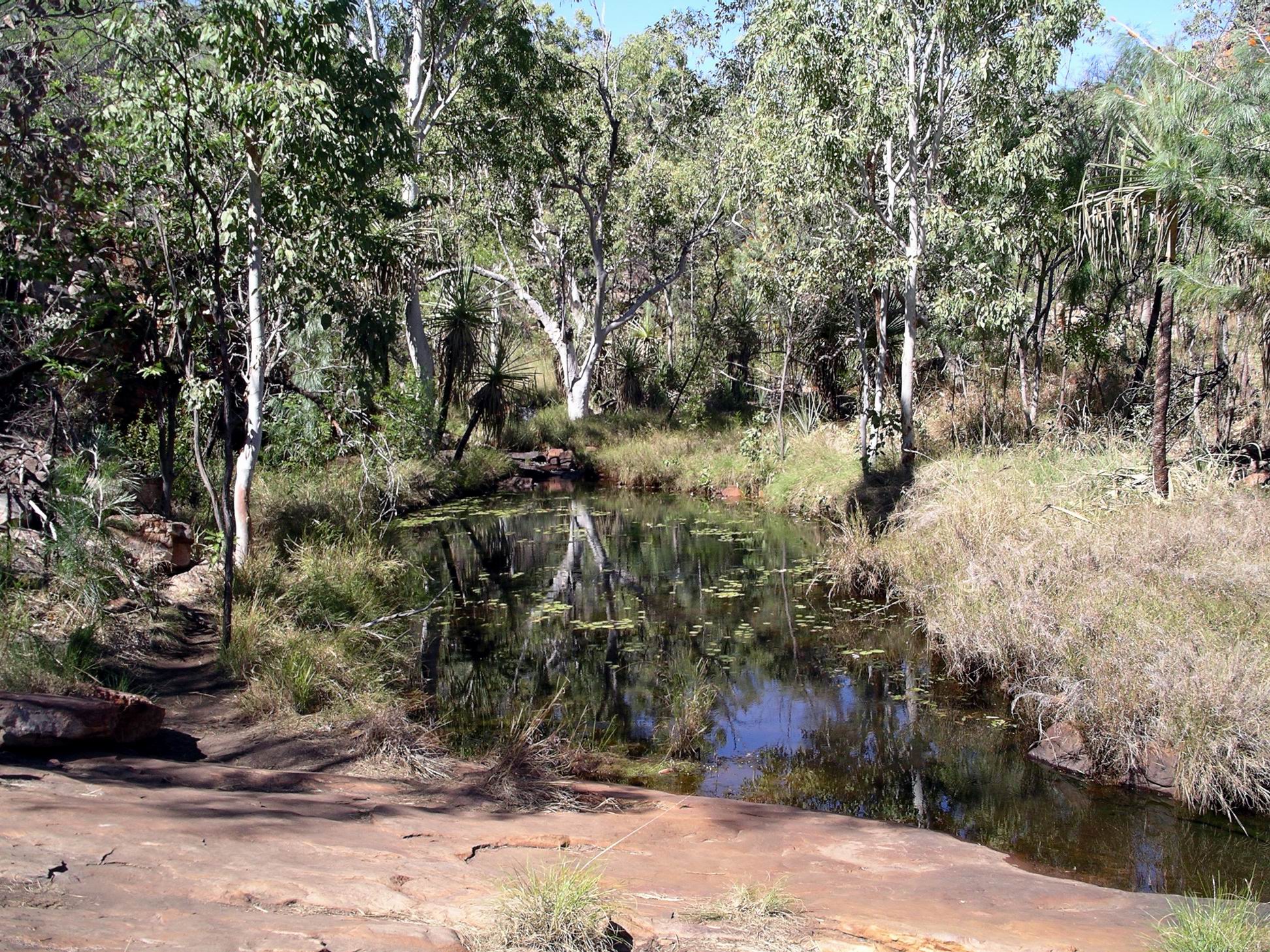
From the carpark, we had a walk of just over a km to the Gorge. Like the streams at Charnley River, the one here runs into the NW flowing Isdell River. Yet, just up the road where we were camped, the Manning River water ends up in the Fitzroy system, to the SW.

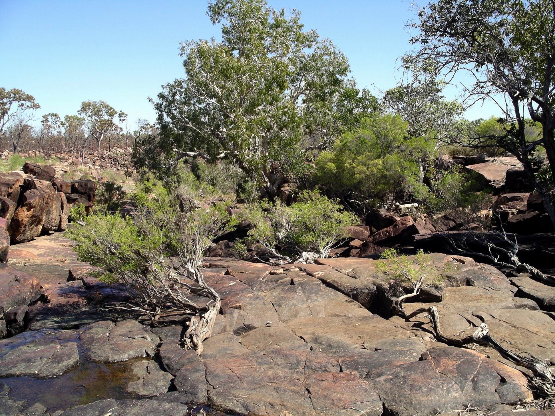
The walk, along a narrow track, mostly beside a creek, was pretty in its own right. The creek formed a series of little pools, where water lilies grew.

Walking track to Galvans Gorge

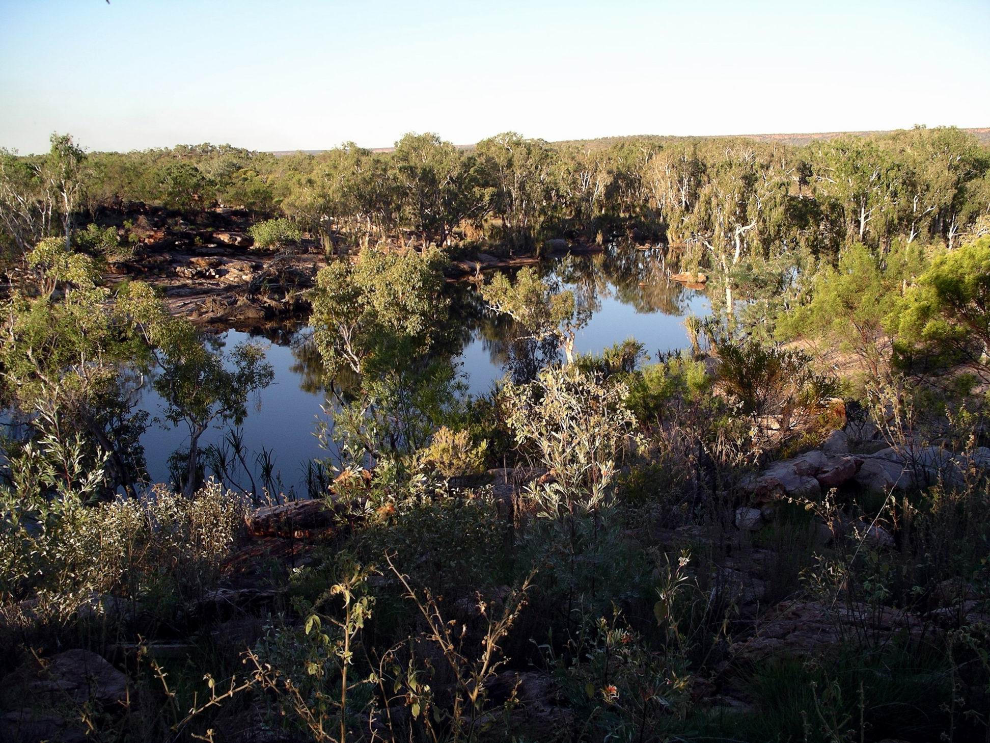
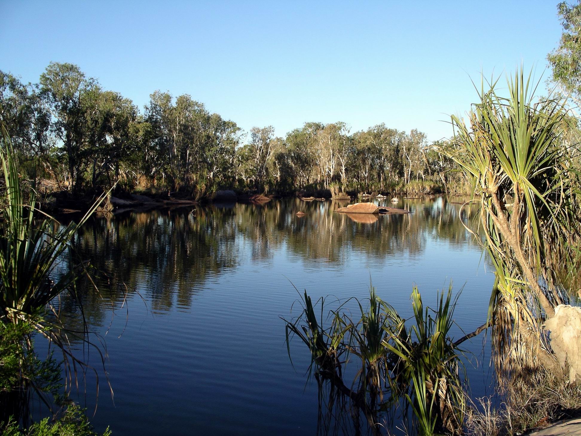
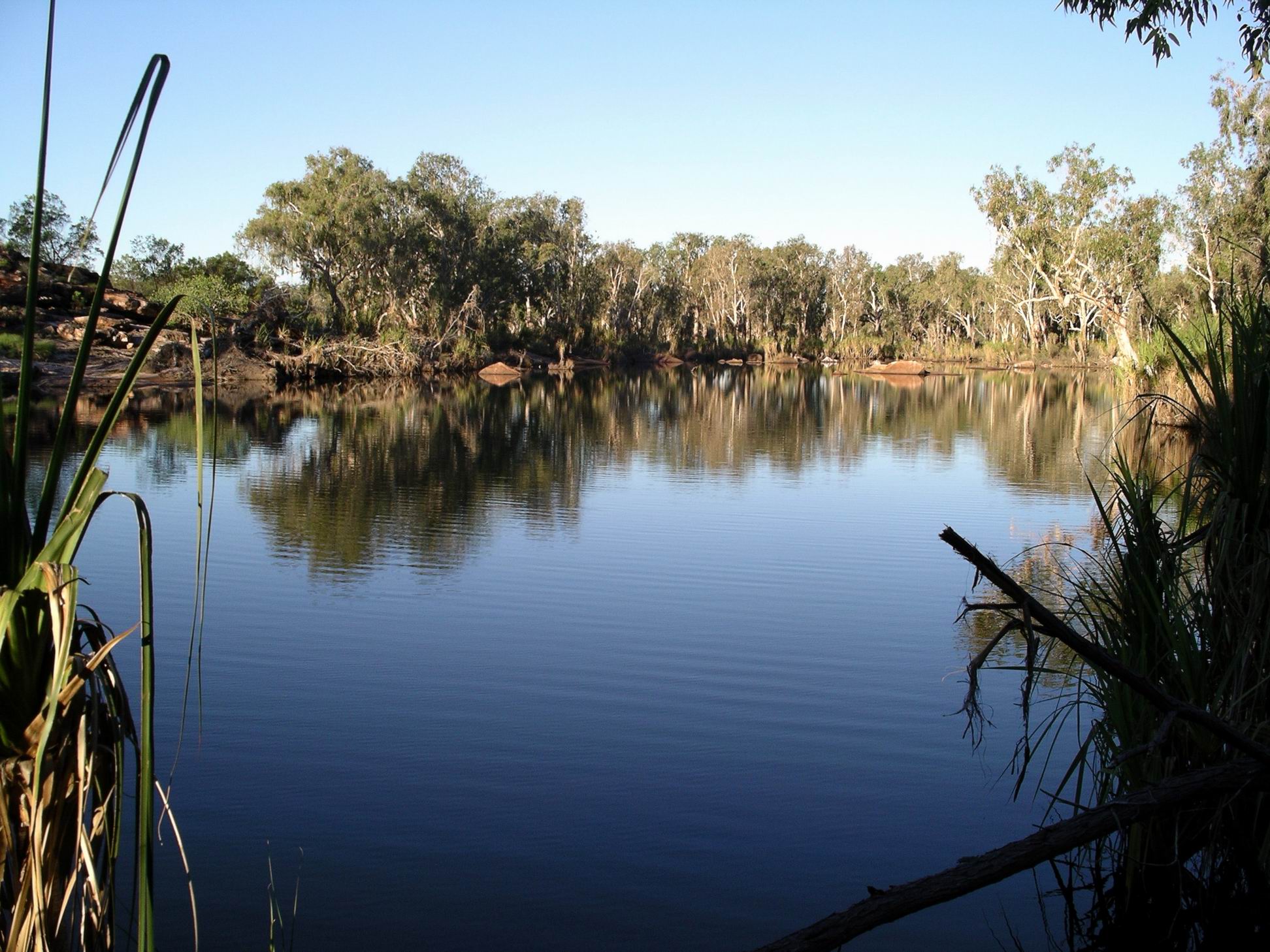
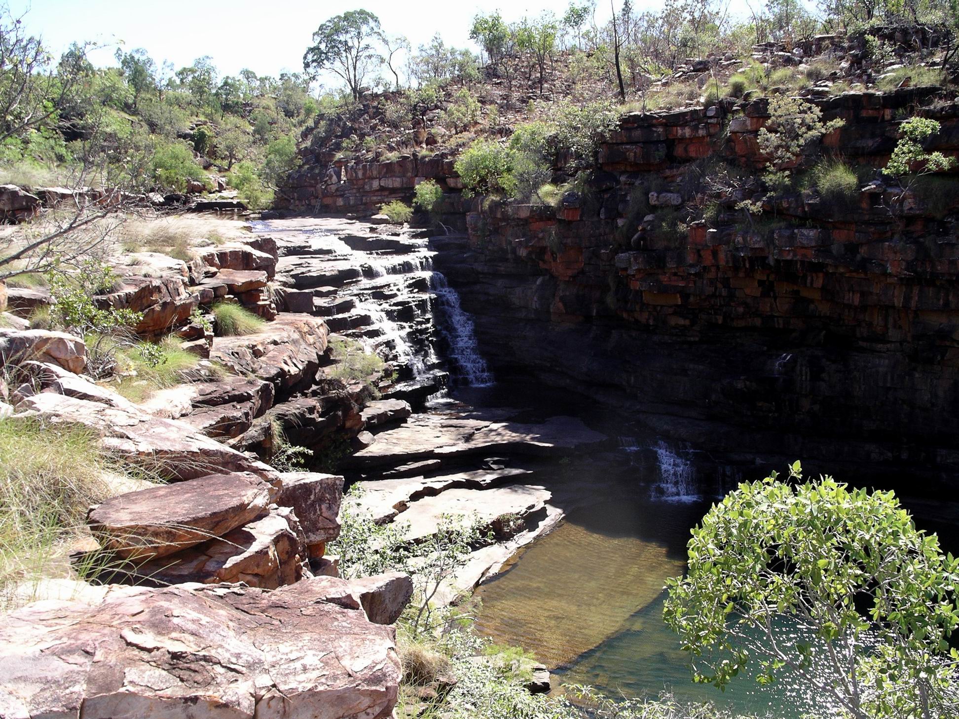
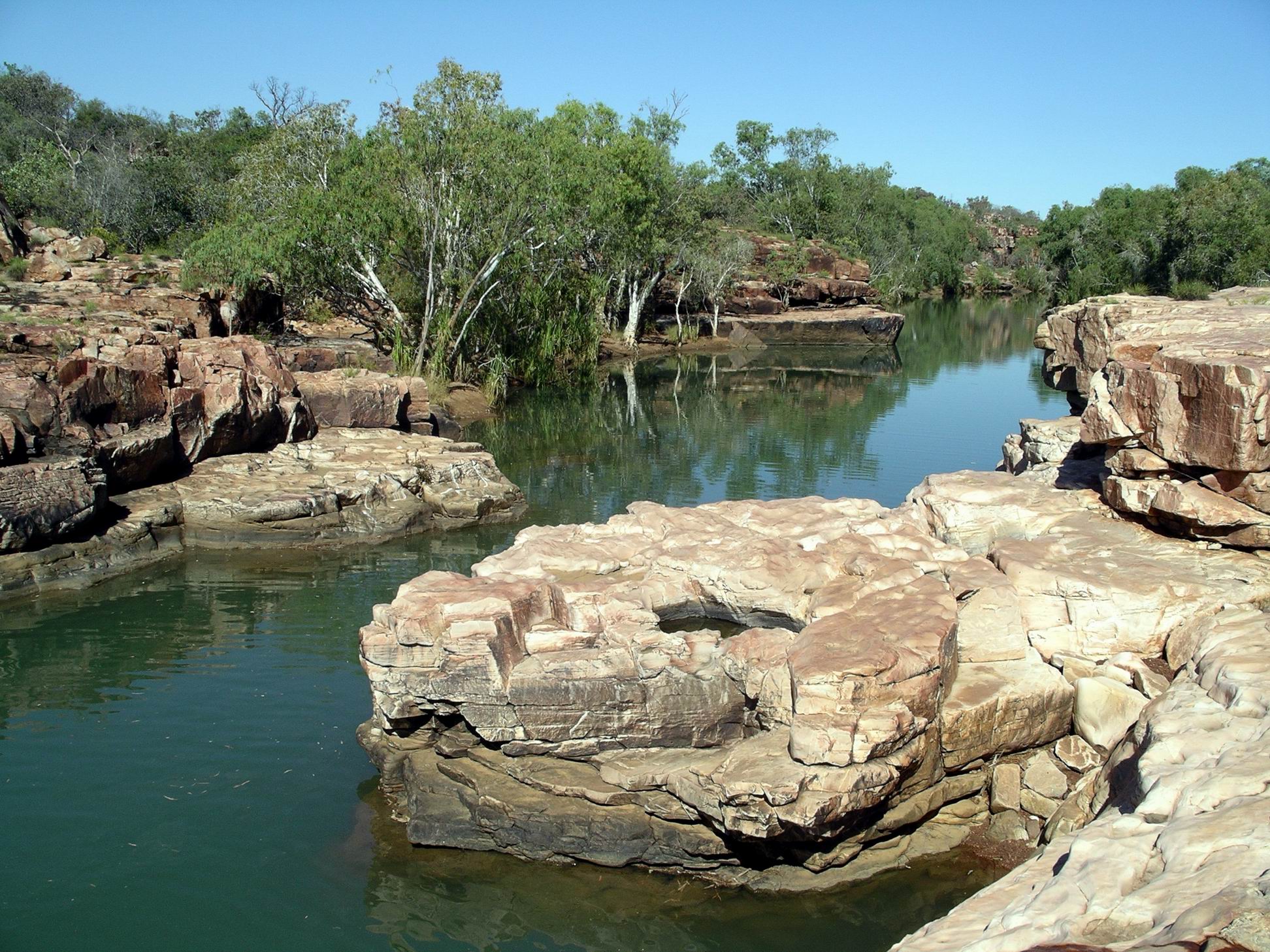
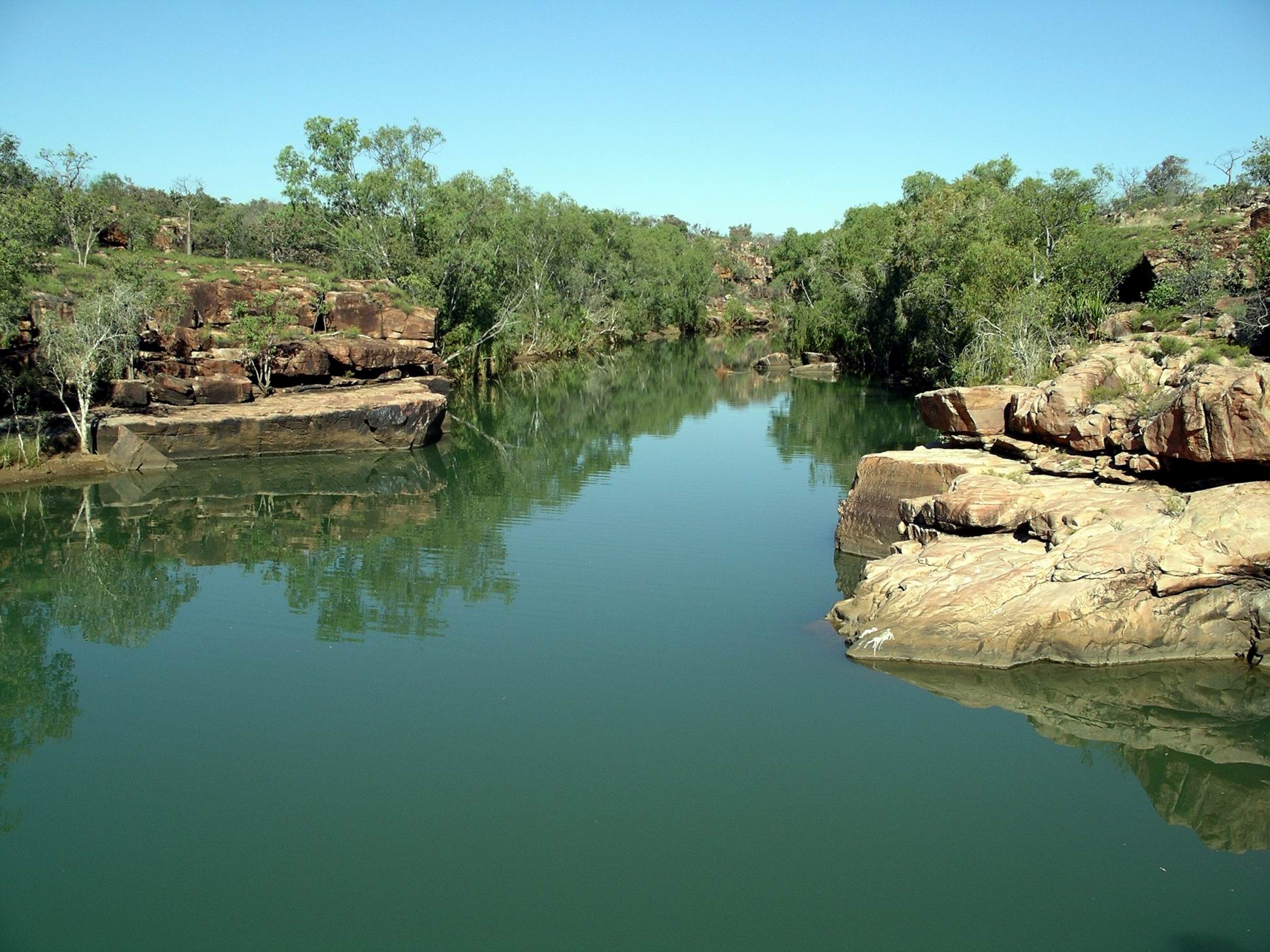
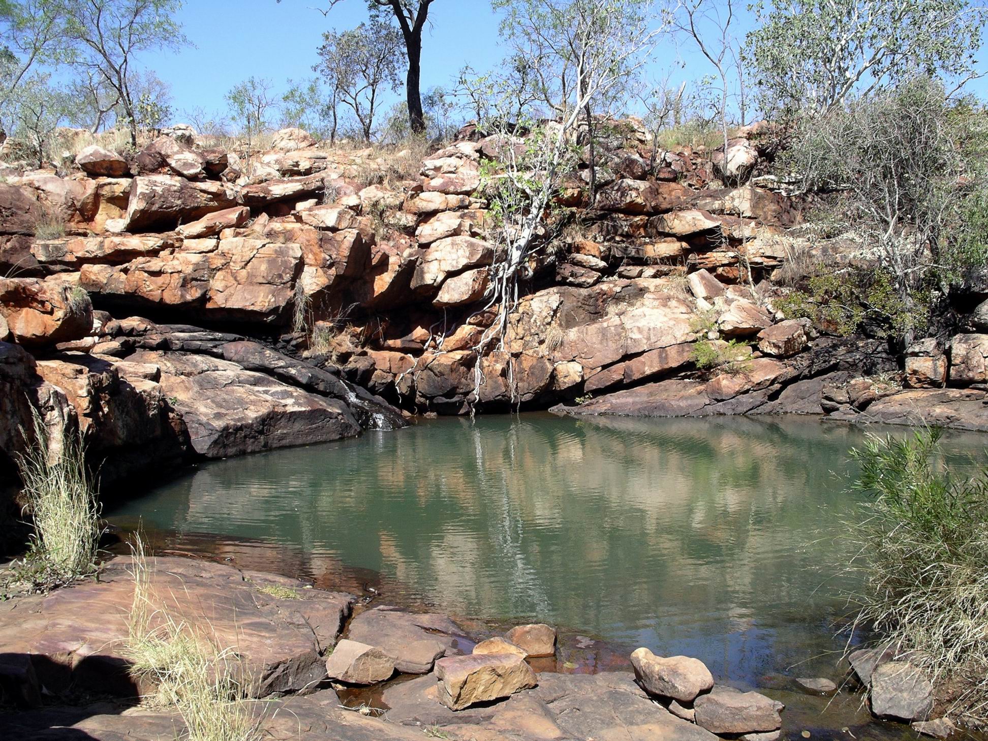
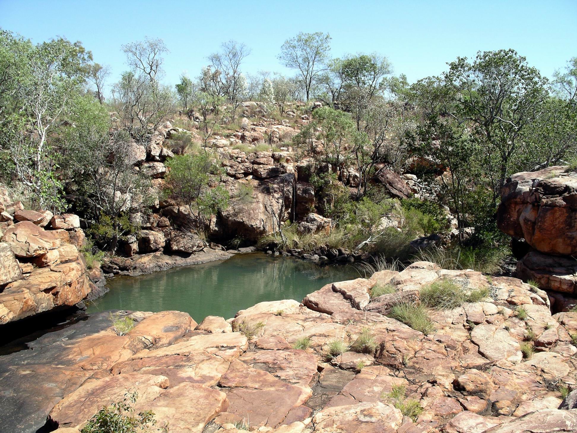
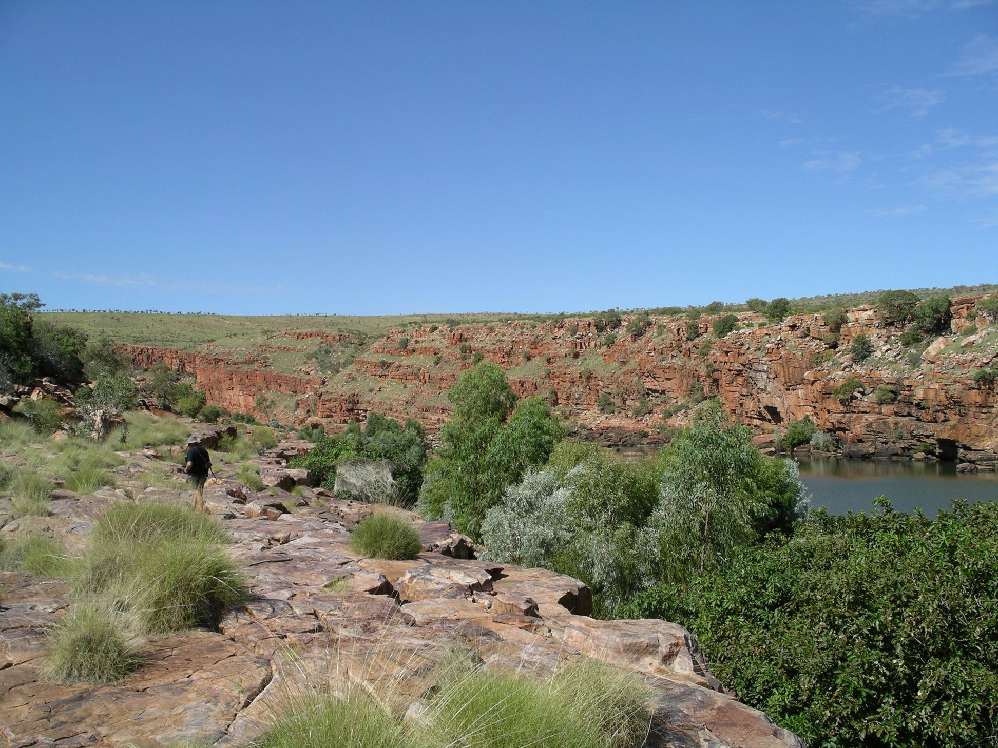
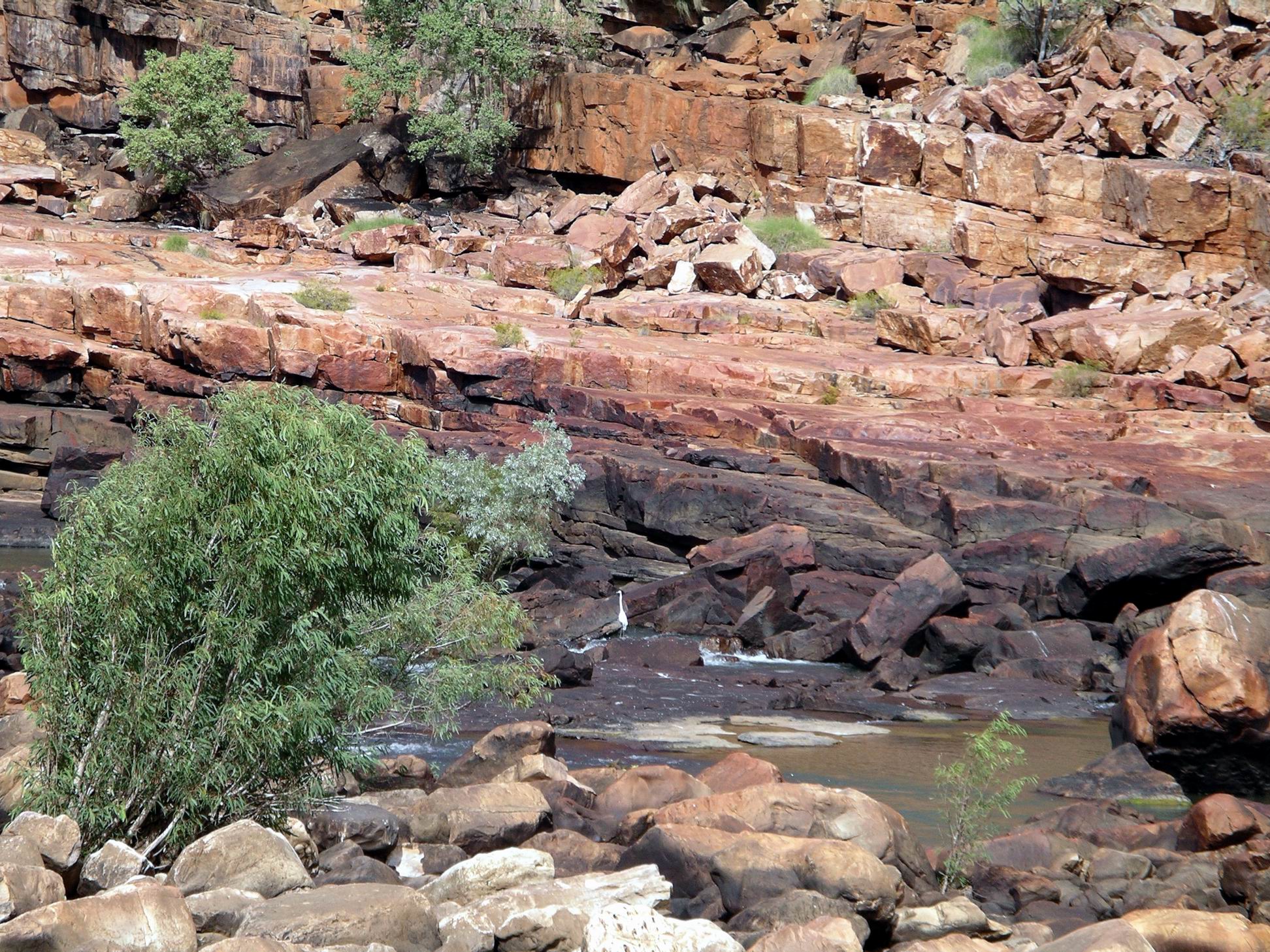
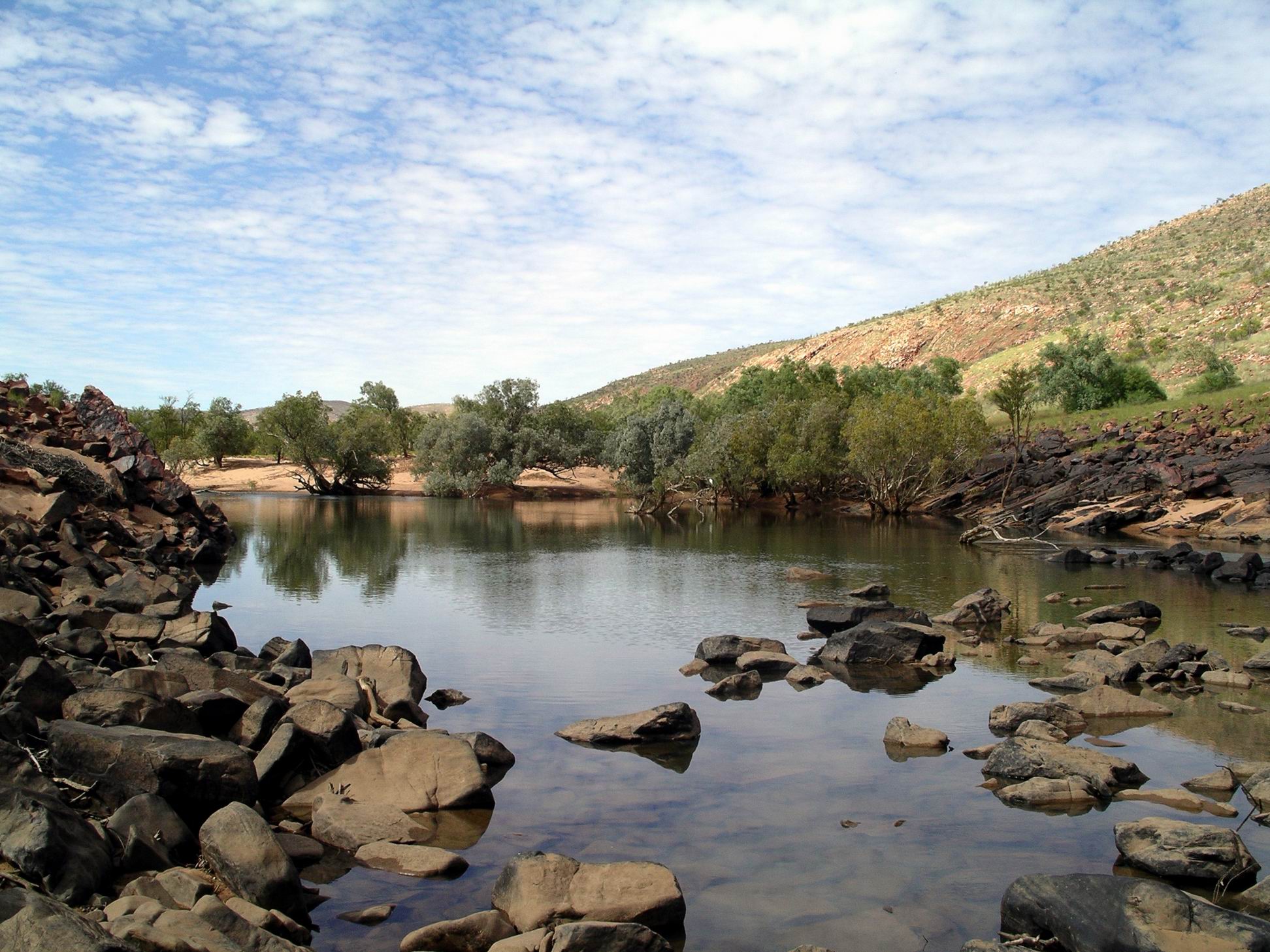
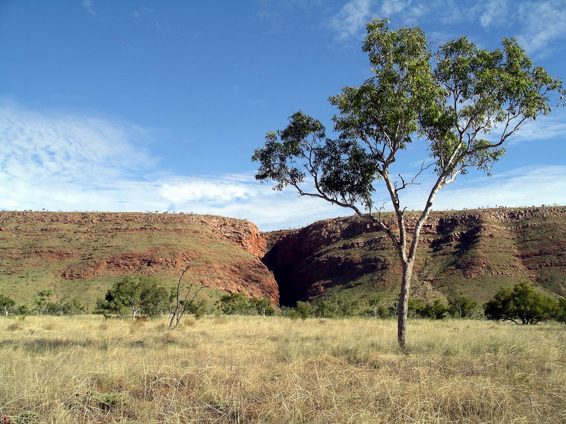
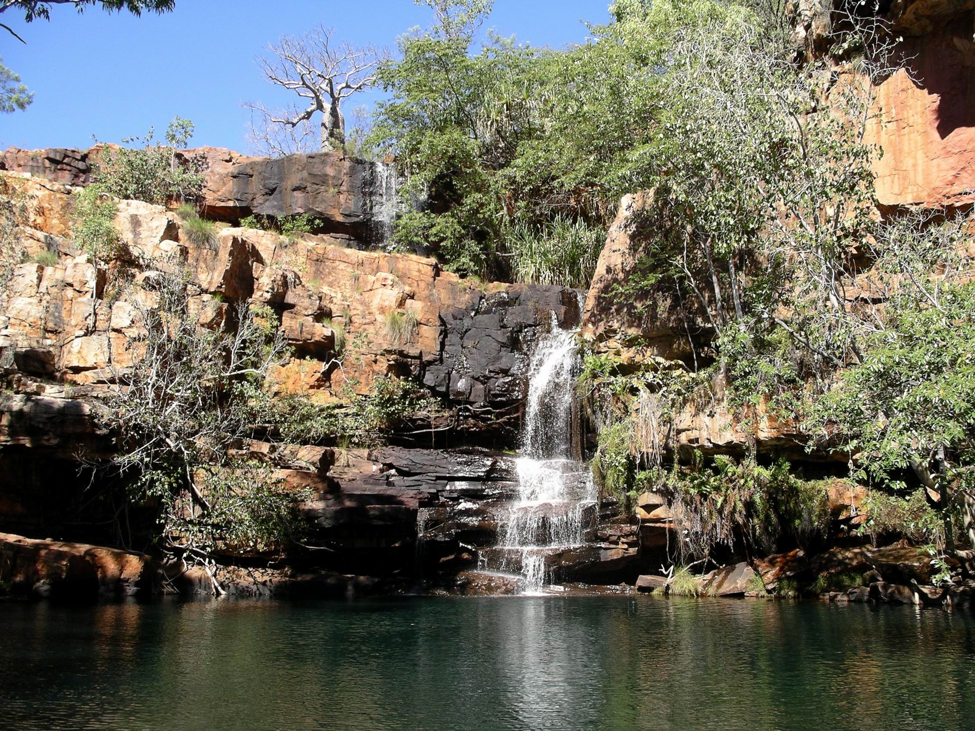
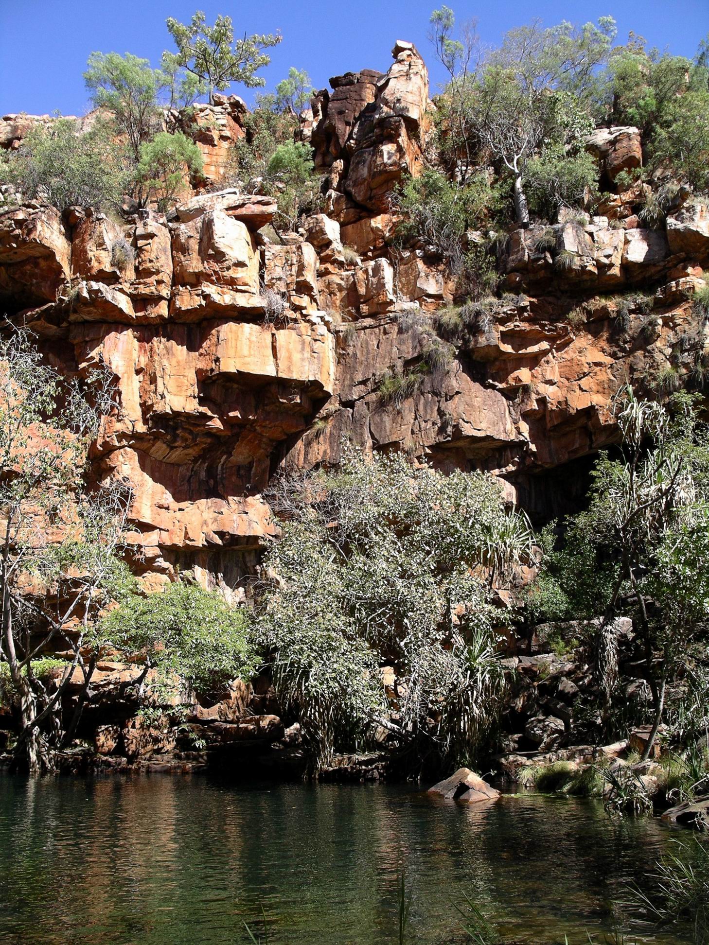
The Gorge itself was scenic, with a plunge pool beneath a water drop large enough to be called a  waterfall, rather than rapids.

Galvans Gorge

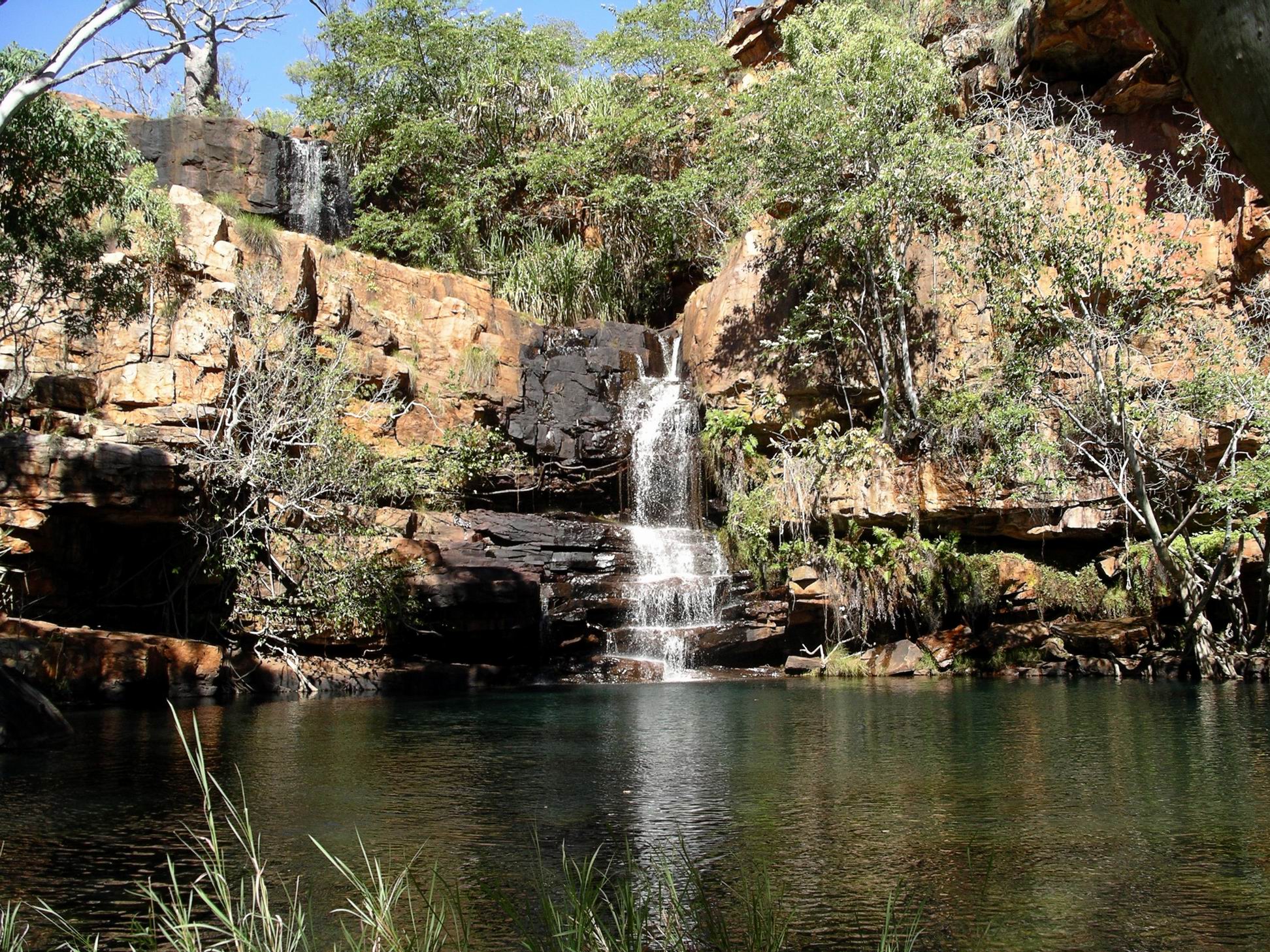
However, I thought we had been spoiled by our recent experiences, by having lovely places largely to ourselves. Here, there were maybe a dozen other visitors, mostly of the younger, backpacker variety, and the peace of the place was disturbed by the loud yells of those who were climbing up the Gorge walls and jumping off into the pool below. What is it about these types of people that they can’t just peacefully swim, without all the “look at big, brave me” behaviour? Gosh I was becoming a Grinch.

In the way of such visitors, we did not have to wait all that long for them to have been, seen, and then left for the next sight. So I was then able to get some photos and we could enjoy the place to ourselves for a little while.

Adcock Gorge, approximately 20kms further west again, was supposed to be even nicer than Galvans Gorge, but access to it was closed. It was on Mt House Station land, and the owner was fed up with the behaviour of previous visitors. I remember that, on one of our previous visits, despite the clear No Camping signs at both Galvans and Adcock Gorges, a large group had set up camp at Adcock Gorge, then had the effrontery to complain that the mustering activities of station staff were affecting their camp – and proceeded to try to interfere with the muster! It was after that episode that access was closed to all. Familiar story of the selfish few spoiling it for the majority who try to do the right thing. Though I had to say that the selfish few seemed to be in disproportionate numbers in the Kimberley, these days.

Gorge wall, Galvans Gorge

On the way back to camp, stopped at the Roadhouse. M and I’d had the foresight to take  a washing basket full of our dirty sheets and towels along with us. We put the load through the public access washing machine at the Roadhouse – the $2 charge was reasonable, we thought. Waited for the load to be done, then rigged up a line back at camp to dry these on. I did some other, smaller item, washing, too, in the plastic wash bowl, and hung that out too.

We’d also done some wood gathering on the drive back. Hadn’t done that since we were back at Keep River!

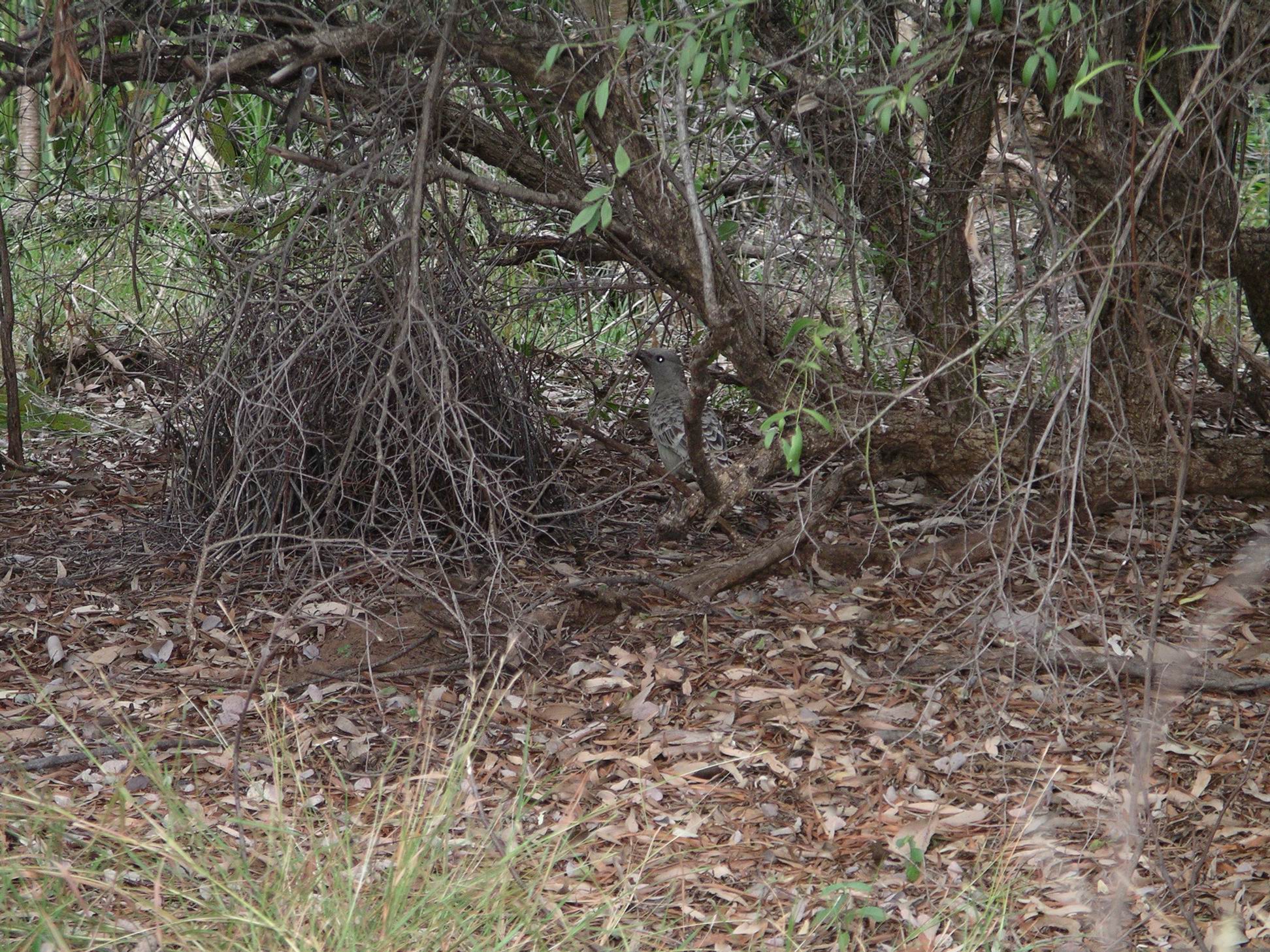
Had a lazy afternoon around camp. The local entertainment was watching the crows investigating around any camps where the people were absent. The Mt Barnett crows had definitely not lost their touch at “doing over” anything accessible that just might contain something edible. On our first stay here, in ’93, we’d watched this happening in the morning, as soon as campers departed to sightsee. I had put all food away in our vehicle, before we went off to walk. But I left out a plastic crate containing inedibles like a roll of tinfoil, mosquito coils, dishwashing sponge and green pot scourers, not thinking the marauding crows would have any interest in those. Believe me, it takes a long time to pick up 10 metres of tinfoil, in tiny pieces, spread over a wide area of campground!

We discussed whether this was an inherited, genetic, trait in these crows, or was a learned ability. We had done a lot of camping in places with crows, but had never seen such thorough and determined raiders anywhere else!

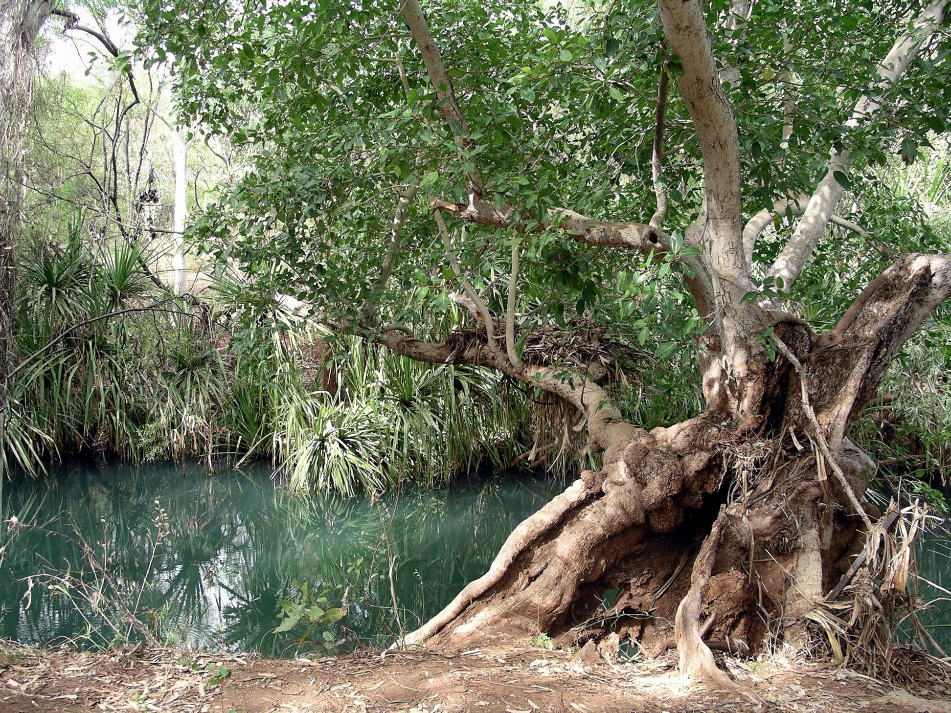
I went to the waterhole for a swim. Figured that if I had to venture into cold water, I would enjoy it more that way, than in a cold shower. It was one hell of a shock to the system, initially, but very pleasant once I acclimatized. M watched on from the bank. Coward!

It was really pleasant to have a night time camp fire again, and to sit around same, after tea, watching the stars and passing satellites.

The  lamp was still not working properly. It wasn’t fuel shortage this time. I wondered whether John had put it back together properly, at Mornington?


Leave a comment

2007 Travels July 21

SATURDAY 21 JULY   CHARNLEY RIVER TO MANNING GORGE CAMP   100kms

We were packed up and away from the Charnley camp in good time.

Traversed the 40-something kms back to the Gibb – cautiously. Then, east on the Gibb, it was 50kms to the Kupingarri Community, set back a little distance from the road.

The Gibb River Road was so good, these days, compared to what it was like in the early 90’s. The drivers doing stupid things, mentioned earlier, were far more of a hazard than anything the road presented!

Mt Barnett Roadhouse was the community store for Kupingarri, and also served the needs of travellers. I suspected just about every Gibb traveller called in here – for fuel, supplies, some to pay the camp fees for the Manning Gorge camp ground, accessed from here.

We refuelled Truck – $1.94cpl. Did some shopping at the store – csabai sausage, frozen chicken drumsticks, sausages, peanut butter, a couple of apples – at $1 each!

At the public phone, I called son. He seemed alright.

Booked into the campground – for $12.50 a person; unpowered of course. Then it was through the gate to drive the 7kms down the track to the large campground by the Manning River.

I think most people who drive the Gibb stay here, even if they don’t do the walk to the Gorge. It was a pleasant place in its own right, by a lovely large pool in the river – safe, albeit freezing, swimming.

A new amenities block had recently been built in the camp ground – with flushing toilets and cold (very cold) showers. We were told that the community had hired new, non-indigenous managers, so I hoped the standard of upkeep would be more consistent than we’d found on previous visits, and heard some horror stories about.

We found a good place to set up camp – away from the foot and vehicle traffic, and more crowded spots by the river.

Camp at Manning Gorge Campground

This was such a scenic place, with a number of really large boabs scattered about, and plenty of other shade trees. Wet season floods caused some changes from year to year. Now, there was lots of sand alongside the river, dumped by the big floods of earlier in the year. One day, they’d had about 170mm of rain in a few hours, and the rivers came up, big time.

The waterhole by camp, on the Manning River

After we’d set up the camp, John went back to the Roadhouse with the wheel he’d taken off at Charnley. He was able to get a new tube, and got the old one patched – in case it was needed further on. There was just a little rubbed patch on the tube, again. The fact that this had happened now on both left hand side wheels was suggestive – maybe confirming the idea that it was a big boulder run over in the Fletcher Creek that caused the problems.

The tyre work cost $70.

Waterhole by camp

Went for a wander around the campground and environs, taking photos.

Our day’s route marked on map from Derby Visitor Centre


1 Comment

2007 Travels July 20

FRIDAY 20 JULY     CHARNLEY RIVER STATION

It was another cold night.

We got ourselves organized reasonably early, with prepared lunches, and set off for Grevillea Gorge and Lillie Pools. These were some 30kms to the north and then west of the homestead, on Plain Creek. This was a tributary of the Isdell River, which flowed NW to the sea at Walcott Inlet. In coming from Mornington, we had crossed the water shed between the river systems that flowed south and west, like the Fitzroy, and the northward flowing ones. The Gibb River Road tended to follow this water shed a lot of the time.

Along the way, we had a wander around an open grassed area where there was a derelict windmill structure that was all stark and twisted up. Presumably, it had succumbed at some previous time, to a cyclone – or two?

Cyclone damage?

An enterprising bird – a kite maybe? – had built a rough nest in the framework.

Better than a tree?
Charnley country…

From the end of the access track we had to walk over a series of rock ledges – almost like a giant staircase – to reach a ladder that led down to the water level in Grevillea Gorge. The ladder was anchored – sort of – to a steel post cemented into the rock wall.

Nature’s stairway…
Looking down on Grevillea Gorge and Plain Creek
The way down…

Found ourselves by a pool above a substantial two part waterfall. 

The top of the waterfall….

Below that was another pool and more falls, but there was too much rock climbing involved for us to follow the stream down.

The lower part of Grevillea Gorge

After spending some time around the ladder pool and falls, we followed rock shelves and ledges upstream for some distance along the creek. Although it was hot this was really enjoyable – the noise of the water in shallow areas, and the lush greenery along parts of the banks, made it feel cooler.

At nearby Lillie Pools,  more scrambling over rock shelves was involved.

There were no waterlilies in the series of small pools here – they had been washed away in the last Wet season.

Near the Lillie Ponds

We were able to cut south, to Dillie Gorge, further downstream on Plain Creek. The grading and opening of the access track had only been completed yesterday. It was still rough in parts. In one place we stopped to pull some old barbed wire off the track.

Dillie Gorge down amongst the rock jumble, somewhere….

More scrambling down the rocky and rugged slope was required, to get to the water level. The boulder slope here was unusual – like a giant hand had just picked the rocks up and thrown them down in a random jumble.

Dillie Gorge

The effort was worthwhile – Dillie Gorge was the best of the lot! It was quite a deep and extensive gorge.

Again, we spent some time exploring along the creek and gorge – and enjoying our total solitude.

Dillie Gorge was extensive enough to make us wish that we’d had a canoe to explore with.

We would have really liked to be able to explore the track further to the north – to Junction Waterhole and the old homestead, but it was not going to be open any time soon. Charnley was another less visited but so scenic part of the Kimberley.

As we’d been coming out of Mornington, the other day, we’d encountered six couples, from New Zealand, in rented motorhomes – the types that were allowed to be on unsealed roads. They were on a bird watching holiday, and we had talked birds, and destinations, briefly. They came into Charnley this afternoon. One of their vehicles had lost its brakes, so they were in a bit of a dither about what to do next. Our advice was to simply phone the rental company – there was a public use phone up at Reception – and let them sort it out.

The funniest event of the whole trip. to date, happened this afternoon – at least, it was funny for John and me. M walked across to Reception to make a phone call, to check on a friend’s welfare. As she wandered back, the aggressive gander started to follow her. M walked a bit faster. The gander started to waddle faster. M speeded up, gander too. Within a minute, M was running across the open space, hotly pursued by gander at full speed, neck stretched out, wings flapping. It was one of those events that would have looked hysterical on video – except we were laughing too much to even think of recording it. M arrived, hot and offended – at us laughing as much as at the bird. He retreated, no doubt considering he’d won the encounter.

John had now concluded that the reason the lamp was playing up was that he had not been putting enough fuel into it. So it may not have needed pulling apart at Mornington, after all.


Leave a comment

2007 Travels July 19

THURSDAY 19 JULY     CHARNLEY RIVER STATION

It was a freezing night. I finished up putting on both a windcheater and a beanie as extra sleepwear, and was still cold. So much for my theory about closeness to the coast.

A rooster started up at dawn, just to add to the misery. It had a funny crow – there was no “doodle” in it. More like one loud squawk – a very loud one!

From what we could gather, in talk overheard around the camp ground and ablution block in the morning, most campers here had arrived yesterday, and were planning to visit Grevillea Gorge today. So, we decided to wait a day before we did that visit.

Instead, we did the walk that was a circuit from the camp ground. This went to Paradise Pool, on to Tower Hill, and back to the camp ground – about 5kms. The walking was over stony ground to the pool, but was a bit less rocky on the way back from Tower Hill.

On the way to Paradise Pool

The pool area was quite pretty, albeit small scale. There were a couple of little lots of rapids coming down into a series of small plunge pools.

One of the pools was home to a large water monitor, who did not seem particularly perturbed by our presence, but just kept sunning himself on his rock shelf by the water.

Water monitor

The walk was enough – it got rather hot during the walk. Our crowd avoidance strategy worked – there was no one else on the walk.

What was left after something hatched
Was this an unusual type of wattle?

After that effort, and a late lunch, we were happy to laze around camp for the rest of the afternoon.

Now the sites had dried out, they were not as bad as they seemed yesterday, although there was no respite from the afternoon sun on the front of the tent. We were actually very pleased to be away from the large numbers of mosquitoes that were infesting the desirable sites close to the creek!

One of the free ranging ganders was quite aggressive. I was walking back from checking some information at Reception, across the large expanse of open ground to the camp area, and it started to hiss and make little runs at me as I walked past the group of geese.


Leave a comment

2007 Travels July 18

WEDNESDAY 18 JULY   MORNINGTON TO CHARNLEY RIVER CAMP   190kms

We were up at 6.45am., packed and away by 9. John really wanted to get ahead of other departing travellers with camper trailers, and not be held up by them and following a cloud of dust for long distances. He didn’t really know how many of such would be departing, just assumed there would be some!

A little way down the track, M’s CB radio suddenly decided it was going to work again, after having been U/S for some time. Seemed she might have hit the right bump? Anyway, now we could communicate when going along, again, if need be.

I loved the drive back to the Gibb River Road, with the King Leopold Ranges sometimes visible in the distance, and the majestic flat topped peaks near Mt House.

At the junction with the Gibb, turned to the west, to go back to Imintji Store, 25kms away, where we had noticed, the other day, they did tyre repairs. It meant backtracking, but doing all that was reasonable to ensure we had two functioning spares, seemed the sensible thing.

Tyre was repaired, after a fashion. The problem seemed to have just been wear on the tube – it might have been getting a bit old. Sometimes, we’d had new tubes put into older tyres, and part used tubes put into new tyres, and John had lost track of the age of the tube in this particular tyre. Fortunately, the wheel size was a common one, and the Store was able to supply a better tube.

The rough and rocky crossings of Fletcher Creek on the Bungles track had quite possibly created the problem.

M had elected to do the doubling back bit to Imintji with us, rather than go on ahead. We were able to do a little stock up at the Store – margarine, which we were just about out of and hadn’t been able to get at Halls Creek! Bought some frozen meat, packets of cup-a-soups, bread, fresh tomatoes (what a luxury), and a sandwich for John’s lunch.

Topped up the fuel again. We’d done 350kms since last here. It was still $1.85cpl.

Best of all, the wife part of the couple running the Store for the season, was a hairdresser by trade. Because the Store was not busy, I was able to get a hair cut. Bliss. I had definitely reached the uncomfortably shaggy stage.

The access track to Charnley River Homestead (Beverley Springs Track) was only just to the east of the Mornington one we’d come up this morning. It was nearly 50kms from the Gibb to the Charnley River Homestead and camp area. The track was quite rough, and rutted in parts where it had obviously been driven on wet. So it was fairly slow going. There were a few little creek fords with mud and low water in.

Charnley River/Beverley Springs track

About 7kms in from the Gibb, we stopped to view a boab tree where the explorer Frank Hann (of Cape York notoriety) had carved his initials when he explored through this area in the 1890’s. I guess that what would be considered graffiti, if done today, served a purpose then, in that his route could be found by others.

Frank Hann tree

The campground fees here were $30 a night. Unpowered of course. The amenities were adequate, if a bit rough and bush style, compared to Mornington.

It was hard to find a good spot to pitch the camp. We were comparatively late getting here, due to the detour to Imintji. The really nicely shaded places, beside the little creek that edged one side of the camp area, were occupied. The area we ended up on had been watered, so was a little muddy in places, and with lots of ants going through it. Although we’d managed to find a place with some trees for shade, this would be in the mornings, so in the afternoon the tents would get hot. Couldn’t be helped. I resigned myself to a not so great camp spot.

Charnley River Homestead camp

After the rough track in, the left rear tyre was slowly going down when we arrived at the Charnley camp area. Another tube? Maybe it was a similar age to the one we’d just replaced? At least that justified the detour we’d done back to Iminitji!

From the information given to us when booking in, there was quite a bit to do here, although the access track to the north, to Old Beverley Springs Homestead ruins, was closed. Like Mornington, it was new ground for John and me.

Charnley was a working cattle station. There were some calves wandering about the place, plus a baby donkey, chooks, a little mob of geese, some peahens and peacocks.

At least our rather exposed camp spot was not very close to any other campers, which meant John could run the genset for a while so he could play computer games! No comment from me…


Leave a comment

2007 Travels July 17

TUESDAY 17 JULY     MORNINGTON WILDERNESS CAMP

We had a less active day today.

M and I did washing. John tried to fix the lantern – took it apart, put it back together again – but it still was not working much at all. I wrote some cards to grandchildren, and a letter to son about his possibly joining us up in these parts, at some stage.

We spent some time watching the nearby bowerbird constructing his bower, and practising his dancing near it. John was inspired to try to use the video function on the big camera, to record some of the bird’s antics.

He is in there!

I went for a wander along the lovely little Annie Creek, near our camp, taking photos.

Reflections in Annie Creek

I tried to phone Charnley Station, to book us in there, but could not raise them.

Our rowdy neighbours departed this morning, so their stay had been brief. If they visited Sir John Gorge at all, yesterday, it must have been before we got there, as we hadn’t seen them at all. A quick rush-about stay?

Old Strangler Fig tree by Annie Creek

I was so pleased that we had made the effort to come down here. It was quite different to other parts of the Kimberley that we had previously visited. I had wanted to visit here since  I first read that a campground had been set up. It was just unfortunate that our 2000 planned trip from here across the now-closed Tableland Track, did not happen. It was now one of those forever-lost opportunities.


2 Comments

2007 Travels July 16

MONDAY 16 JULY     MORNINGTON WILDERNESS CAMP

Today’s activity centred mainly on Sir John Gorge – further upstream on the Fitzroy River from where we were yesterday.

First, we stopped en route, to walk  the Termite Trail, which had been set up in an area where there were a lot of bulbous shaped termite mounds. These were very different in appearance to the ones we were more used to, from places like Litchfield National Park and Pungalina.

A walk track meandered around, past various termite hills where information boards gave all sorts of unexpectedly interesting information about the termites and the roles they play in the savanna grassland ecosystems.

Essentially, termites recycle dead plant matter to provide nutrients for more growth, so enhancing the productivity of the area. They also improve water penetration.

We spent longer there than anticipated, finding it so interesting.

Next stop was at Bluebush Waterhole – another large waterhole on the Fitzroy River – where we wandered about for a while.

Fitzroy River at Bluebush Waterhole

There were some large sandbank areas there – the product of deposition by the river at flood times.

Here, the leaning tree effect of Wet Season high water flows was very evident.

Washed downstream by floods, but still alive….

Finally, it was on to Sir John Gorge. The character of this was very different to that of Dimond Gorge. The latter just cut straight into the King Leopold Ranges, making the deep gorge. At Sir John, there were great flat slabs of rock beside the river and the start of the Gorge was more gradual.

Fitzroy River at Sir John Gorge
Deeper section of the Gorge in the distance

The Gorge did not seem as deep, at least in the small part of it that we could access. It was also more open and broad, which meant we could walk up into it for some distance.

River wider here….
Further into the Gorge….

We had not been prepared to pay $200 for the exclusive use of the only canoe at Sir John Gorge, but decided to do what we could on foot. However, as the Gorge is 23kms long, we didn’t see a great deal of it!

The scrambling around on the rock shelves was enjoyable, and we were able to do some bird spotting. Saw a Sandstone Shrike Thrush – a hard bird to find. There was a Great Egret fishing in the river at one point.

Great Egret

Ate the lunch I’d packed, sitting by the river, enjoying the solitude and scenery. At one stage, there were a couple of other people visiting there, too, but mostly we were alone.

Sir John Gorge
The tenacity of some trees…..

Eventually made our way back to camp. We were enjoying this place so much that we decided to stay an extra day, and walked up to the Reception/bar area to make the booking for that.

The men who set up camp nearby last night, were a very rowdy group. A lot of alcohol consumption seemed to be happening. They also stayed up quite late – much more than us. So they were not the greatest neighbours.

Our camp lantern was playing up. It was a good quality kerosene fuelled one that normally lit our camp brightly. Now, it was sputtering and faltering and the light was dim. I thought it might have been blocked somehow by dust.


Leave a comment

2007 Travels July 15

SUNDAY 15 JULY     MORNINGTON WILDERNESS CAMP

After breakfast, at Reception, we paid $60 to hire a canoe to go paddling at Dimond Gorge, on the Fitzroy River. That fee entitled us to use the canoe for as much of the day as we wanted.  We were given paddles, mud map and lifejackets. The canoes were permanently in place at the Gorge, for the season.

Followed a rather roundabout route the 23kms to Dimond Gorge. The track had to follow valleys through the rather grand ranges.

Spectacular range country

On the way we took a short side track to a low rise that was a lookout, giving an elevated outlook onto the surrounding ranges.

Track down below the Lookout

At Dimond Gorge, it is about 80kms down the river to the town of Fitzroy Crossing, where we were a few days ago. Not really far at all, but there are no roads through that rugged country.

Dimond Gorge – Fitzroy Crossing about 80kms that way!

It was a bit of a hike from the car park, across sand banks and rocks,  to where the canoes were stowed, close to the river bank.

Dimond Gorge

M and John did the first paddle in the open, two man canoe, downstream and into the gorge.

While they paddled off into the distance – and back – I wandered about, rock hopping, taking photos, and enjoying the chance to do so in my own time.

Eventually they reappeared and paddled back to the starting point. Then M and I did the same paddle – she was quite happy to repeat the experience.

It was possible to paddle a fair way along the river, which was a series of long waterholes here, interspersed with narrow rapids areas and rock platforms.

The first part of Dimond Gorge, where we canoed, was essentially a long and winding waterhole. The water was calm and the paddling was easy. The solitude was wonderful.

By the time M and I got back to John, another couple of campers had appeared and were organizing a canoe. It felt quite privileged to be able to enjoy such places with so few other tourists around. Amazing the difference  90km  of side track makes!

Rock banks scoured by Wet Season floods

Ate our packed lunches, sitting on rocks at the gorge, then started back the way we’d come.

Detoured up a side track to visit Waterfall Gorge, which could be seen from a distance as a very narrow valley going back into the range.

Track to Waterfall Gorge

Parked the vehicles at the end of the rather rough track, then followed a faint track up beside the creek, to a little waterfall that was as far as we could go.

There was some boulder hopping and scrambling involved. M managed to slip on a wet rock beside the creek and finished up with one soaked walk sandal and a wet derriere.

Oops……

Further back towards the Camp, took another side track that led down to Cadjeput Waterhole, further upstream on the Fitzroy from Dimond Gorge. Cadjeput is a name for the big paperbark trees found along many northern rivers.

Cadjeput Waterhole

This was a serene place, with lovely reflections on the water.

Trees are pointing downstream

The trees beside the waterhole had a distinct downstream lean, indicating the force and huge volume of water that could come down the river in the Wet season. We were seeing it at a deceptively tranquil time.

After walking around, exploring there, for a little while, returned to camp.

Outback Spirit had a tour group in, staying in the safari tents, further down the creek. Their tour groups are not large ones. As we relaxed back at camp, could hear, and catch brief glimpses of, some of the tour members doing the Riparian Walk on the other side of the creek from us. We decided that, for people who did not have the equipment or confidence to drive themselves in remote parts, that sort of small group, ethical, specialist tour was a good option.

Right on dark, a party of three men arrived in “our” camp clearing and set up their camp a little further along from us – close enough to be heard.


Leave a comment

2007 Travels July 14

SATURDAY 14 JULY     MORNINGTON WILDERNESS CAMP

I was not imagining things yesterday – last night was definitely warmer! Maybe being that bit closer to the coast had made a difference?

I was up at 7.30am – just because I was wide awake! John slept a bit later.

Before breakfast, I went and put our washing into one of the machines in the ablution block – yes, they even had washing machines! Then went and hung it out after breakfast.

Crimson Finch back again…..

John drove back up the Glenroy road until he was clear of the property boundary, and found a little side track where he could park out of the way and start the generator, to charge up his torch and the camera batteries. Not being able to get a powered site at Fitzroy Crossing had meant these had not been charged for nearly a week. This took a while and he did not get back until about 2.30pm.

In the meantime, M arrived about midday. She had not noticed John on the way in. She set up her camp in the area we’d “kept” near us.

She reported that it was very hard to get a riverside site camp at the popular Bell Gorge. People were setting up a temporary camp at Silent Grove, 11kms away, where the Ranger Base was, then queuing up at 7am to be there when the Ranger put out tags for spots at Bell Gorge that would be vacated that day. If they managed to snare a tag, they moved there. M had not bothered with that, since she only planned to stay a couple of nights.

M had enjoyed Bell Gorge, finding the falls spectacular, but found the track in a bit rough. Given the crowds, she seemed in two minds as to whether it had been worth the effort. They were the first of the brilliant Kimberley waterfalls that she’d seen, so had made a good impression. I knew there would be others even more brilliant to come……

M and I did the Riparian Walk, while John was still gone. She pronounced this campground much more to her liking than those of her past couple of days.

Cluster Fig

The workshop here had put out a sign that they were out of gas for gas bottle refills! Given the campfire ban, that could become a bit dire for campers!

However, we could still buy a beer at the bar – for $5.50 a can!

The three of us walked up for the evening talk. Got there a little early, to have an expensive beer, and make sure we had seats. The talk was excellent, given by the head resident scientist at the place – all about Mornington and the work of the AWC here. Very impressive.

I was particularly taken with two aspects of their work: the research on establishing the causes of the decline in Gouldian Finch numbers, hence, how to work to bring back the numbers. And the concept that wild dingo populations were significant in controlling feral introduced pests such as pigs and cats. That tallied with our views after our time on Pungalina in 2005.


Leave a comment

2007 Travels July 13

FRIDAY 13 JULY     MORNINGTON WILDERNESS CAMP

Last night did not seem as cold. Maybe it was due to the beanie I wore all night?

We had a real sleep in. The area around us was quiet, and there was no early bird M waiting impatiently to get going on the day’s adventures!

Mornington camp

John changed the Truck wheel and put on one of the spares. We had – in line with previous trips away from the van – put the van’s spare wheel, which matched Truck wheels, up on the roof rack, so we had two spares.

I read, sewed, did some Sudoku. We both spent time photographing a little group of crimson finches that were flitting about in the undergrowth near our tent.

Crimson Finch

Later in the afternoon, we did the Riparian Walk. This was along Annie Creek, basically bird spotting. Mornington had so many different species of birds. AWC was leading efforts to save the Gouldian Finch in the wild, here at Mornington.

Along the creek – cicada moult shells

Near us, along the creek, were purple crowned fairy wrens. Not far from us, a Great Bower Bird was constructing a bower, and watching him kept us entertained for over an hour.

After tea, we walked the few hundred metres up to the Office/bar area for the advertised 7.30pm free talk, only to find that this had been rescheduled to tomorrow night. I was pleased about that, thinking that M might be here then, for that.

We did Sudokus until about 9.30, then sat for a while, in the dark, looking at the stars, and listening to the night noises of the occasional birds and critters.

Mornington had a no campfire policy. Also no generators. Both quite sensible, really, in environmental terms.