This Adventurous Age

Adventures travelling and working around Australia.


Leave a comment

2001 Travels October 1

MONDAY 1 OCTOBER    YOWAH TO TIBOOBURRA   460kms

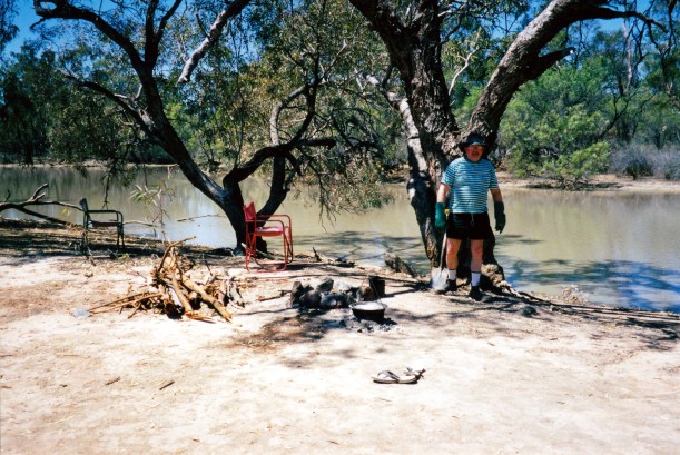
We packed up camp. The stay at the Yowah park – basic though it was – had been quite pleasant.

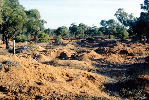
We had directions for the short cut through to the Thargomindah road on the Black Gate track. That would take us past Mike Sawicki’s Leopardwood mine, where John hoped to also camp and mine, next year.

09-30-2001 leopardwood.jpg

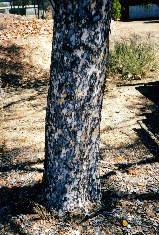
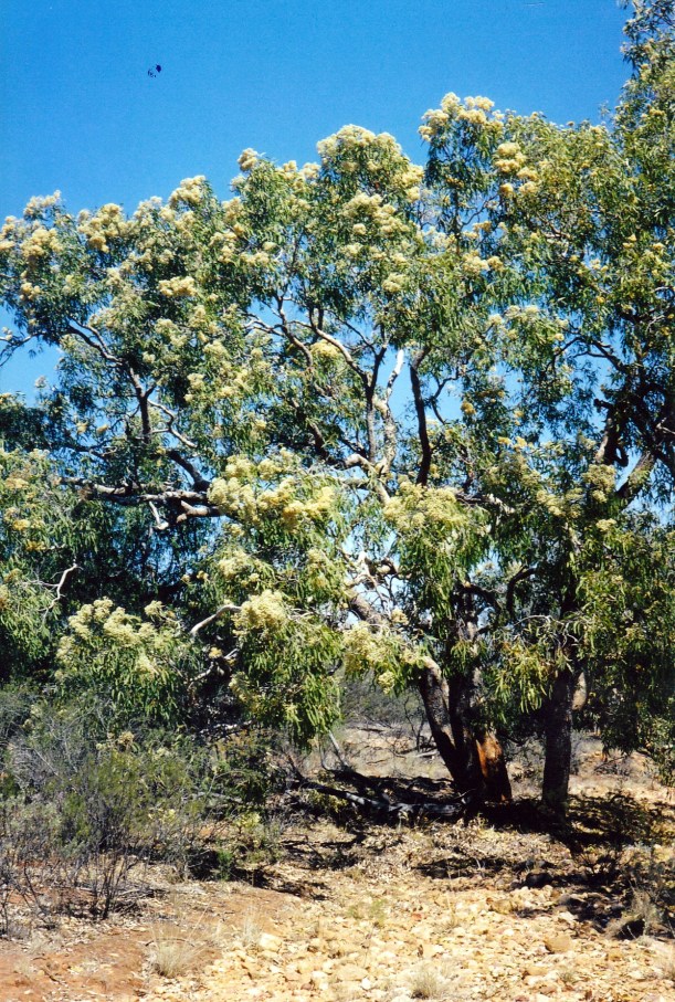
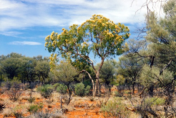
The distinctive bark of the leopardwood tree

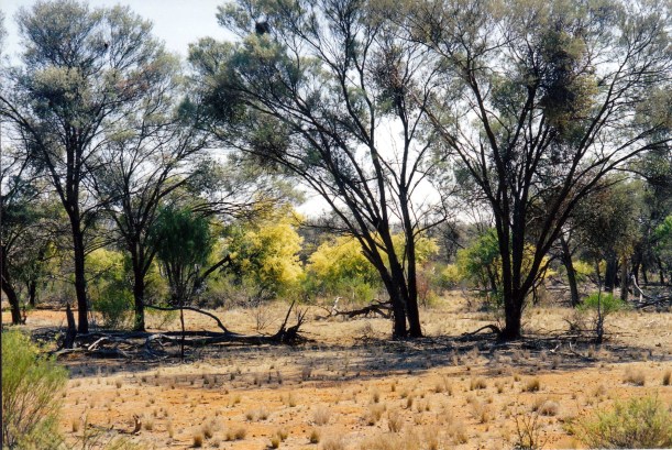
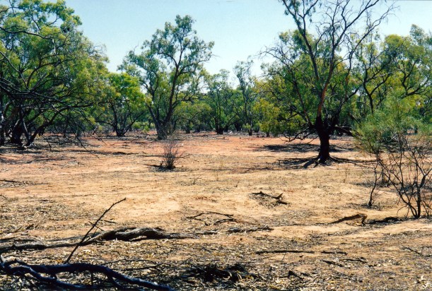
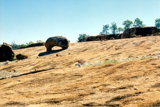
The scenery along the track was pleasant, with the flowering beefwoods and wattles.

09-30-2001 bush yowah.jpg

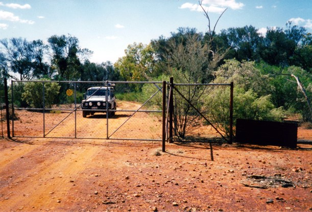
A sign hung above the Black Gate Creek, in a Central European language, a clue about the origin of so many opal miners.

10-01-2001 black gate tk.jpg

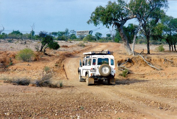
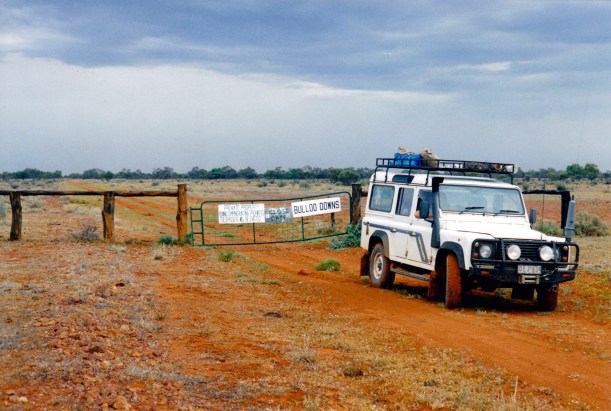
Black Gate track and sign

We passed the entrance to Leopardwood – well signed. From there it was only about 10kms to the main, sealed, Bulloo Development Road. We turned to the west.

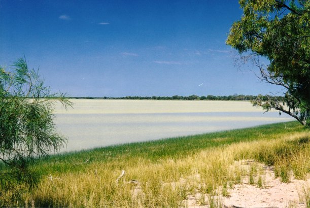
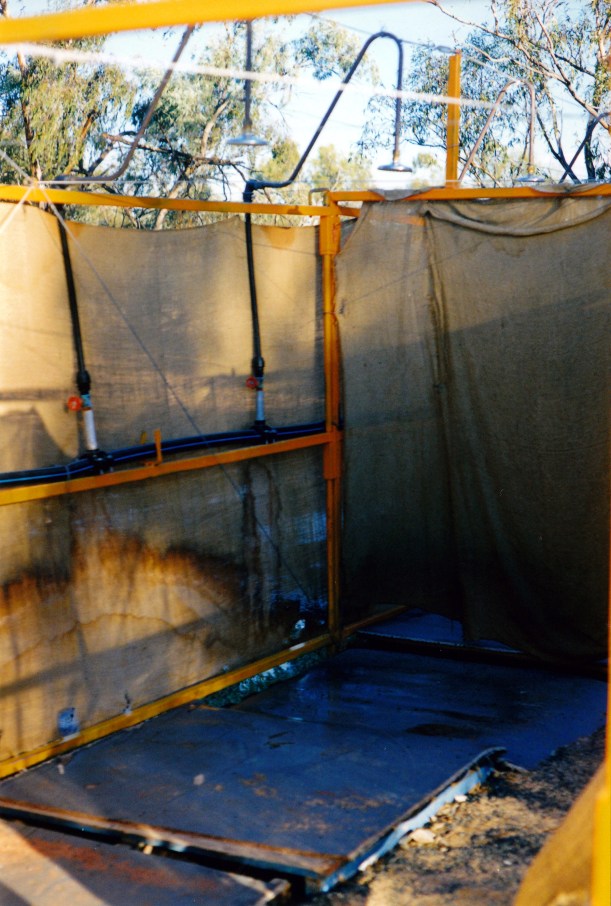
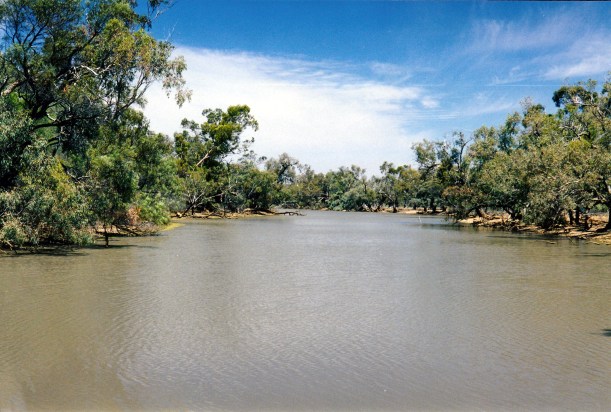
A few kms further on, we stopped at the Lake Bindegolly National Park, which was right beside the road. Had a quick look around there, where there were some birds on the lake.
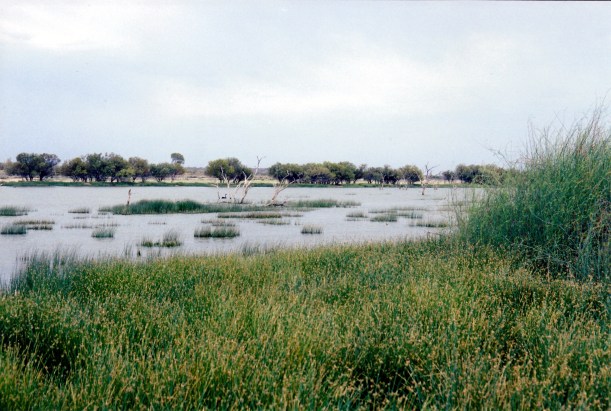
10-01-2001 lake bindegolly np.jpg

Lake Bindegolly

We reached Thargomindah about 11am.

There was quite a lot of cloud building up, but we had not recently heard a weather forecast for this region.

I went to the Tourist Information Centre to ask if they knew what the weather was likely to be, and also to ask about taking the shorter route towards Tibooburra, via Bulloo Downs, that was marked on my Road Atlas, rather than the longer way through Noccundra. The gentleman in the Centre said that the Bulloo Downs route would be alright with a 4WD vehicle – and that the cloud building up was “too high for it to rain”.

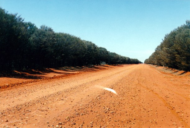
Foolishly as it turned out, I had faith in local knowledge, so we headed off on the Bulloo track, which trended generally SW.

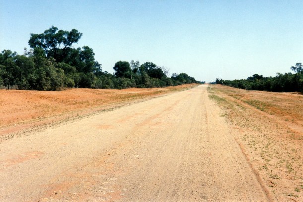
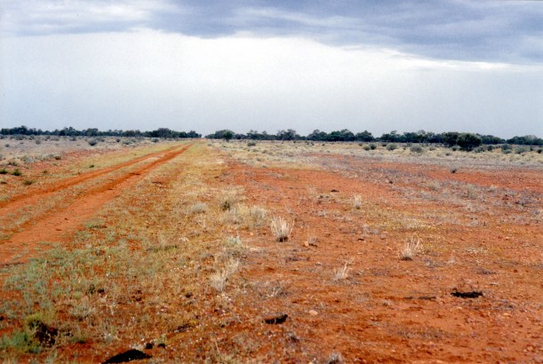
The track was a pretty good dirt road for the 120kms to Bulloo Downs homestead, but after that it became more of a station track, across the flood plains and overflow area of the Bulloo River, which originates way to the north, but disappears in the swamps, lakes and sands of this area.

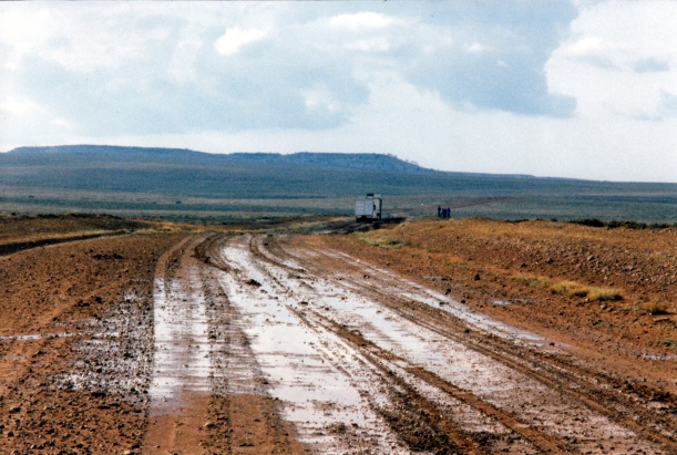
As we reached  Bulloo Downs, light rain was starting. So much for local knowledge! It got heavier as we continued on – and the track started to get slippery.

10-01-2001 who said it wouldn't rain.jpg

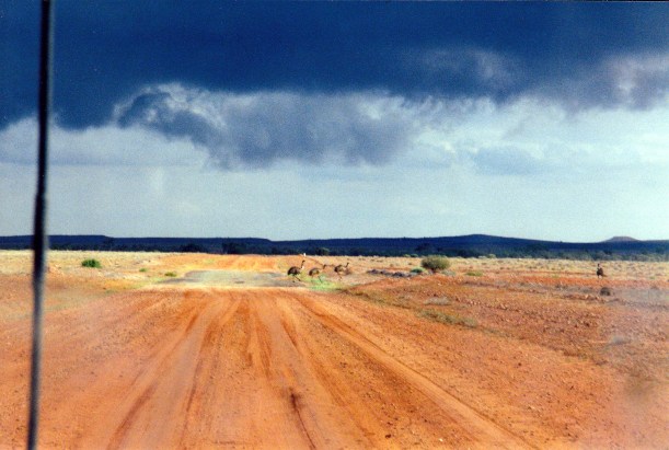
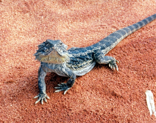
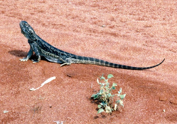
Who said it wouldn’t rain? Wild life by the track through Bulloo Downs

It was some 120kms from Bulloo Downs homestead, to the Noccundra Road, north of the Warri Gate. So at this stage, we were about half way along.

10-01-2001 bulloo downs tk.jpg

After negotiating a rough slippery section, in what suddenly became a real downpour, it became obvious that turning back would be no guarantee of being able to get through the way we’d just come – so we might as well continue!

10-01-2001 bulloo downs track.jpg

Rather obvious where we had slipped and slid along the track

This was a time when it felt good to have the HF radio – in case.

The tread on the tyres filled up with thick, sticky mud  so the directions Truck went did not always match the way John intended!

10-01-2001 useless tread.jpg

Tyre tread not much use! Mud accumulating on side steps.

Whilst the rain continued – there were really ominous dark clouds building up by now – and while on the swampy country, it was an increasingly tense drive. We talked about at least having the capacity to camp by the vehicle, if we had to!

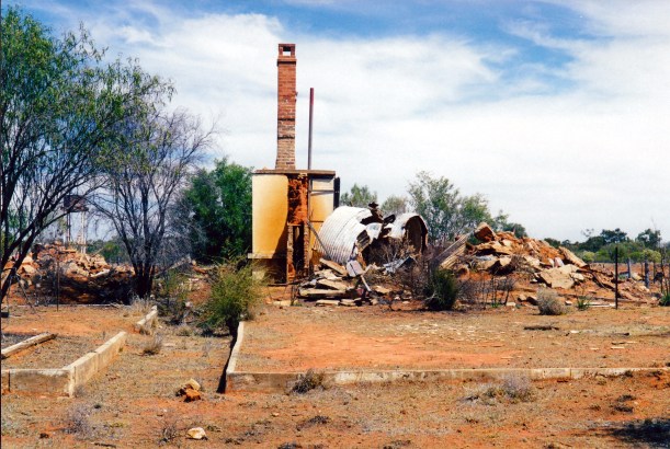
By the time we reached the Tickalara ruins, with only about 30kms to go to the Noccundra road, the rain had eased off and the track was a bit firmer. We thought the worst might be behind us now.

10-01-2001 ticklalara.jpg

Tickalara ruins

We stopped to have a look around the ruins. I was curious about these and had no information about them. Later research indicated that the homestead had been built in the late 1800’s and probably abandoned only a few decades later.

10-01-2001 tickalara ruins.jpg

It was a great relief to reach the more “main” Tibooburra to Noccundra road – still dirt though, but with the potential for maybe some passing traffic. All things are relative! We had not seen a single other vehicle since leaving Thargomindah. After all that, we only “saved” about 40kms by coming the way we had. Still – it had been an adventure, but I was not sure that the extra angst had been worth it.

10-01-2001 corner bulloo and naryilco tracks.jpg

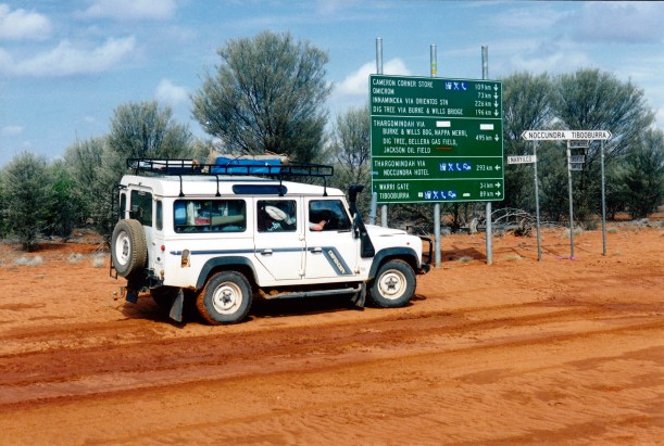
The corner of the Naryilco and Bulloo Downs roads

It had clearly been raining here too and the sky still looked threatening.

10-01-2001 bit more civilized.jpg

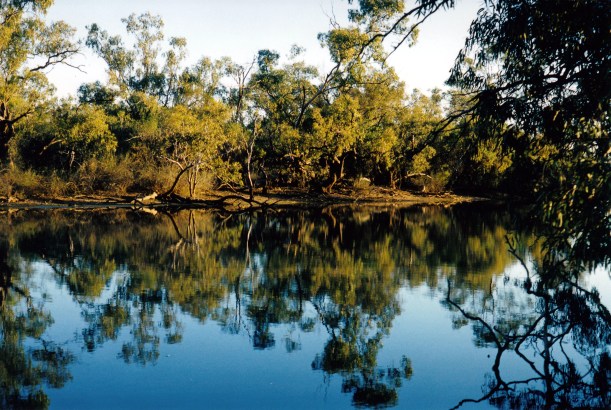
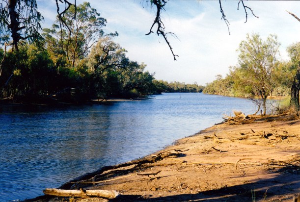
Turned south, then stopped after a short distance to eat our packed lunch by a roadside waterhole.

10-01-2001 lunch nr naryilco.jpg

Pressed on south. By the time we reached the Warri Gate, in the Dog Fence, the sky ahead was black. The road got sloppy again, but it was not as bad as what we’d been through.

10-01-2001 Warri Gate and truck.jpg

The Warri Gate between Qld and NSW

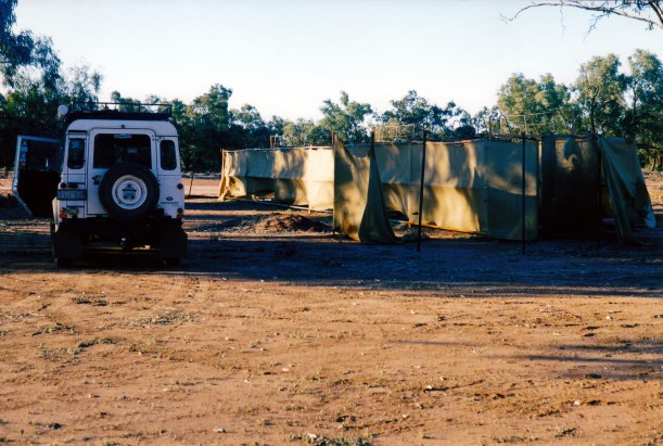
To the north of Tibooburra are a series of jump ups. We crawled down the slopes of these, in low range. On the flat ground at the bottom of the hilly section, there was a temporary camp. Stockmen from Naryilco Station, with horses in trucks, had been to Tibooburra for a horse event. They had decided that they wouldn’t have sufficient traction on the wet surface to get up the jump ups, so they had camped to wait for the road to dry out enough.

10-01-2001 traffic stalled at jump up.jpg

Camped and waiting for the road ahead to dry up

It was raining again by the time we arrived at Tibooburra.

Our original intention had been to set up the tent at the little caravan park/campground where we’d stayed once before.

It was obvious as we drove into town, that the place was packed. There were lots of new-ish looking, very muddy, 4WD’s with camper trailers. Families with school aged children. A couple of the rigs had little dings in them that indicated they’d slid off the road into banks or ditches.

The tension and anger hanging around was palpable! We constructed the likely scenario: dad buys his new toys, telling mum and the kids that this camping holiday is going to be an adventure. They encounter muddy roads and heavy rain – and camper trailer life is not fun at all! The kids are bored and cranky, mum is not coping with the mess and the kids and she is angry.

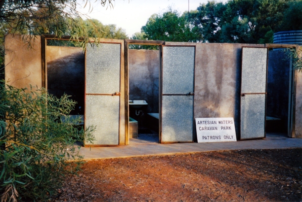
Under these circumstances, being squashed in the small camping park, with its limited amenities no doubt getting very muddy, did not appeal to us. We managed to get a room at the motel. Lucky were we!

Dry, warm, not muddy, a proper bed, a take away dinner, TV. We spent a very pleasant night. It could have all turned out quite differently, so we counted ourselves very fortunate.

We were not sure if the road south – the unsealed Silver City Highway – would be open for traffic tomorrow, but if we had to wait it out here, we would be comfortable doing so.

10-01-2001 to tib

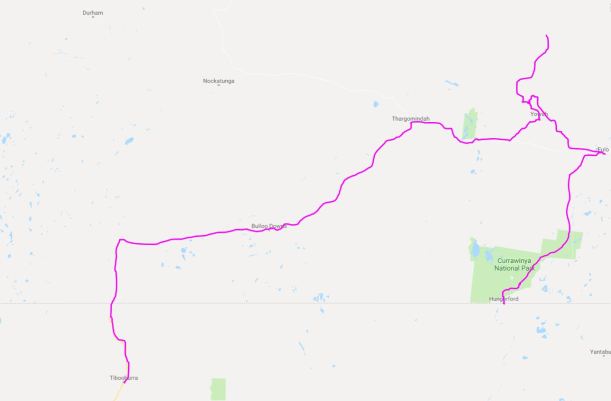
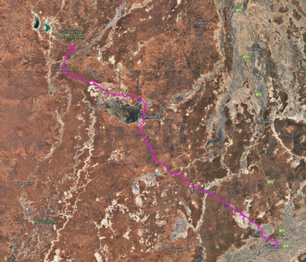
Our travels through SW Queensland


Leave a comment

2001 Travels September 30

SUNDAY 30 SEPTEMBER     YOWAH

Today we set out to drive to see if we could find the Duck Creek area, and check it out for future fossicking.

As per directions gained yesterday, we went back north to the Eulo Toompine road, and took that for nearly 30kms, then branched out on the track to “Dundoo”. We followed tracks past the homestead and on to the north, passing through some station gates and not being totally sure we were going the right way.

09-30-2001 duck ck tk.jpg

Gate at the entry to the fossick area of Duck Creek

Closer to what turned out to be the diggings, it became a maze of tracks, as usually happens, but fortunately with just enough rough signage to keep us headed the right way.

09-30-2001 somewhere is duck creek.jpg

09-30-2001 Duck Ck road and roos.jpg

Kangaroos out this way didn’t see much traffic!

Just where the diggings started, there was a warning sign painted on an old cement mixer truck – used sometimes for washing opal dirt – making dire threats against anyone trespassing on claims.

09-30-2001 Duck Creek welcome.jpg

Welcome to Duck Creek!

A sign beside the track led us into Mike’s place. He had a claim and sold opals. We talked to him and found out that he allowed camping on a large flat area at the front of his place – quite an attractive area, for these parts. John was instantly keen to come here next year!

09-30-2001 mikes place.jpg

Mike’s place

09-30-2001 duck ck diggings.jpg

Some of the diggings at Duck Creek

We had a look at the opals Mike brought out for sale and ended up buying some. They were probably not great quality, but we felt a bit obligated, given the time he spent with us.

09-30-2001 mike's opals.jpg

Mission accomplished, we returned the way we came, to Yowah. It seems that next year’s trip is firming up to definitely include opal hunting in these parts. That is fine by me – the country is the semi-arid mulga type of country that I loved around Opalton, so I was quite happy at the thought of hanging about in that.

09-30-2001 duck creek spring.jpg

Springtime Duck Creek

Through our evenings at Yowah, there were great sunsets. It was not just opals that shone brilliantly in these parts.

09-30-2001 yowah sunset 2.jpg


Leave a comment

2001 Travels September 29

SATURDAY 29 SEPTEMBER     YOWAH

We went to the weekly market, where a number of miners and fossickers set up stalls to try to sell their finds.

The Yowah opal is mainly form of boulder opal. It is known for its Yowah Nuts – little rocks with knobs of opal inside. From what we could tell, it is virtually impossible to tell these without cracking open the rock, Not easy for amateur fossickers like us!

I paid $5 for a chunk of rock with a tiny flash of opal in – I want it for a doorstop at home!

John talked to a man who runs a tourist accessible mine south of here, at Leopard wood. He said that people can go can camp at his place and dig for opal there – for a fee of course. It sounded reasonable, so that information was stored away for next year.

We also got directions for how to drive out to Duck Creek, a mining area to the north of here. John has wanted to go to Duck Creek and suss it out, for a while, now.

We drove a little way to the east of the township, to the Bluff which gave an outlook over the surrounding country.

09-28-2001 yowah country.jpg

The outlook to the north from The Bluff

Then we went to the mining area on the southern edge of town. There was an area set aside for amateur fossickers, like us, and then there were areas where claims had been staked – off limits to the likes of us.

Our little bit of poking around in the designated area did not yield anything, but then we really did not know what we were doing! We had no idea how one went about looking for Yowah Nuts – whether they were found on the surface or had to be dug for!

I tend to think that places like this are very well dug over anyway, and the chances of finding anything worthwhile are remote.

09-28-2001 yowah diggings.jpg

The diggings at the fossicking area at Yowah

The fossickers who come up here for a month or two in the cooler weather, generally have their own claim, I think, rather than relying on the open-to-all public area.

After that, we walked around the township, seeing some places with “For Sale” signs – mostly lean-to’s.

Back at camp, I decided to have a bath in the unique bath house that is part of the caravan park. This is an artesian bore area, and Yowah is reliant on its main artesian bore, which was in the caravan park, and which we had looked at in our wanders around the town. The water comes up into a type of well and some is piped off to the bath house. The bore overflow goes into the bore drain, which runs through town and out to the north.

09-29-2001 yowah artesian bore.jpg

The Yowah Artesian Bore

The bath house does actually have baths, in cubicles – these have no roof – kind of open air bathing! The bath was hot but very pleasant and relaxing. There was a sign outside the establishment warning that it was for caravan park patrons only. I imagine otherwise there would be quite a lot of demand from miners who have no such facility out on their claims.

09-29-2001 bath house yowah.jpg

The bath house at the caravan park

Earlier in the day, I took a couple of photos of quite a large dragon lizard in the campground. It allowed me to approach quite close. It was quite a fearsome and aggressive looking critter. I found out later that this area is also known as “Dragon country”.

09-29-2001 i am big and fierce.jpg

I am looking big and fierce, to frighten you away!


09-29-2001 reptile yowah.jpg

The profile is my preferred angle

We’d had a rather full but enjoyable day. I decided I quite liked Yowah.


Leave a comment

2001 Travels September 28

FRIDAY 28 SEPTEMBER   CURRAWINYA TO YOWAH   190kms

Packing up camp did not take too long, though we didn’t particularly hurry.

The road north was good dirt, until we reached the sealed Bulloo Development road, a few kms west of Eulo. It was just over 100kms from last night’s camp. Basically, we paralleled the Paroo River north.

We detoured to have a look at the little township of Eulo, and were amused by the cows strolling up the main – one and only – street.

09-27-2001 main st Eulo.jpg

Cows wandering the main road in Eulo

There was not much to Eulo. The most notable building was the Eulo Queen Hotel – another single storey affair.

The tourist information we had mentioned a date farm and wine making establishment, so we checked that out. Bought a couple of bottles of rather sweet date dessert wine – something different. One must patronize local industry!

Went west again for a few kms, then turned north to take the sealed road route to Yowah. This was a roundabout route that went north-ish –  on the Toompine and Quilpie road – for some 47kms, then turned off back to the south for another 25kms.

We found the Artesian Waters Caravan Park at Yowah, booked in and were allowed to choose our own spot to set up. An area partly surrounded by leafy trees appealed.

09-29-2001 another view yowah camp.jpg

After establishing the camp, we had time for a quick drive around and explore of the township, before settling down to the usual evening routines.

We had a powered site, so the Chescold was on 240v, and we had the electric camping light. Even better, there were hot showers! The water was a bit smelly though – artesian bore water.

Although we were now in a town, it was small enough for the night to be almost as quiet as it was back at our river bank camp.


Leave a comment

2001 Travels September 27

THURSDAY 27 SEPTEMBER     CURRAWINYA NATIONAL PARK

Today’s outing was to the NE, along the road to Eulo, that we would take tomorrow. It was a dirt road, of course, as were all the Park roads.

We wanted to look at the ruins of the old Caiwarro Homestead. This station was adjacent to Currawinya and is also now part of the National Park.

09-26-2001 ruins caiwarro hs.jpg

Some of the ruins at Caiwarro

The Paroo forms the Corni Paroo Waterhole by the station ruins. There were more camping areas on the Paroo at this location, equally as pleasant as where we were.

09-26-2001 paroo at caiwarro.jpg

Corni Paroo Waterhole

Poking around the homestead ruins was interesting. The homestead was built in the 1880’s. There was some chimney still in place, and one could partly make out the former layout of the place.

09-26-2001 ruins.jpg

Caiwarro Homestead ruins

There were also old yards and fences, and the levee bank that was an attempt to protect the homestead area from floods.

09-26-2001 yards caiwarro.jpg

Caiwarro yards

The river at Caiwarro, though a little upstream from our camp, was wide an well-filled. Whatever country the Paroo passes through before it gets here makes the water a real clay colour.

09-26-2001 paroo.jpg

Clay coloured Paroo River

Sat by the river and had our packed lunch.

09-25-2001 stumpy.jpg

Currawinya wild life – shingleback lizard

After that exploration, it was back to camp for our last night by the river.


Leave a comment

2001 Travels September 26

WEDNESDAY 26 SEPTEMBER     CURRAWINYA NATIONAL PARK

Although the nights are fairly cool, the days are very pleasant.

The tent is certainly adequate for this type of camping, although in wet weather it would not be big enough to “live in”, unless the bedding was packed up every day. But it is fine for sleeping and the big veranda provides shade for cooking and sitting. It is definitely going to meet the purposes we intended.

09-24-2001 currawinya NP camp by paroo.jpg

Today we went driving, to the lakes area in the NW corner of the Park, some 30kms from camp. The track was good going, despite being tagged as 4WD only.

The country, of course, was fairly flat.

There were some trees in flower – we thought they were beefwoods. They were really spectacular, standing out from the predominant dull green mulga of the region.

09-25-2001 blossom.jpg

The two lakes – Numalla and Wyara – as well as a host of smaller lakes are central to what makes Currawinya so special. They fill from local rain and run-off, some from floods when the Paroo overflows and spreads out over its floodplain. The Paroo River originates from up to the NW of Charleville.

Unusually, Lake Numalla is a fresh water lake, Lake Wyara is saline. Only about 3kms of sandy country separates the two lakes, at one point.

09-25-2001 lake wyara currawinya.jpg

Lake Wyara

The lakes provide very different habitats and thus attract a wide variety of bird species. Over 200 species have been listed for the park.

We ate our packed lunch out at the lakes. looking first at Lake Numalla, then driving around to the access point for Lake Wyara.

09-25-2001 lake numalla currawinya

Lake Numalla

Despite their significance, I had to admit that we didn’t find the lake scenery particularly special. Nor did we see much in the way of bird life on the lakes. Presumably, it was the wrong time of year for the migratory ones to be passing through.

09-25-2001 Lake Numalla .jpg

Lake Numalla

Once we’d wandered about and enjoyed the lakes, drove back to the Woolshed area, where we sampled the showers. It was pleasant to feel clean again, though we did not linger – the water was cold, and I also felt quite exposed! If you were staying here with a group, you would get to know your fellow campers perhaps more intimately than expected!

09-25-2001 currawinya showers

The showers at the Woolshed

09-25-2001 shower inside.jpg

Inside the showers – communal style!

Back to camp and our nightly relax by the river and the camp fire.

09-25-2001 paroo reflections

Afternoon reflections in the Paroo


Leave a comment

2001 Travels September 25

TUESDAY 25 SEPTEMBER     CURRAWINYA NATIONAL PARK

It was during today that I realized about John’s birthday.

After a lazy morning in camp and lunch of roti breads cooked over the open fire, we drove back up to the Woolshed complex, to have a look at that.

09-24-2001 wendy by paroo.jpg

Enjoying the morning by the river

Currawinya was a sheep grazing property in its previous life, and the rather grand old woolshed is one remnant of this, as are some bores that still remain, and some sections of fencing.

The current National Park status came about because of the wetlands of the river, swamp sections, and the lakes – together important enough for it to have Ramsar listing. It is an important site for migratory birds.

09-26-2001 flood plain by Paroo.jpg

Powdery, fine silt flood plain by the Paroo

The old woolshed was really impressive. Made mostly of corrugated iron, it was surprisingly large. We were able to wander around inside and inspect the holding pens, shearing bays with their ramps to eject the shorn sheep outside; there were even old wool presses left in there. The building still smelt strongly of sheep. There were piles of old manure under the building. We hoped that this shed – relic of past times – would be preserved as part of the Park.

09-25-2001 currawinya shearing shed.jpg

Currawinya shearing shed – corrugated iron construction

09-25-2001 currawinya shearing shed interior.jpg

Inside the shearing shed – 6 shearing stands here, sheep pens and hatches for shorn sheep to be despatched down

09-25-2001 currawinya shearing shed yards

Sheep yards – more corrugated iron

09-25-2001 machinery currawinya shearing shed.jpg

Wool press

Apparently, this area is used for accommodation for groups of volunteer workers and the like. Showers had been constructed nearby, consisting of hessian “walls” on metal frames around the perimeter, with shower heads coming off a pipe in a row inside. As there were few interior dividing walls, I guessed it would be group showers! The water was cold, of course. I couldn’t tell if there was any water heating facility when they had a group staying.

After a good wander around the Woolshed area, we drove about 15kms out the old Thargomindah road, to the rock formations known as The Granites.

09-25-2001 at the Granites currawinya NP

The Granites

As the name suggests, these were substantial outcrops of rock. It seemed unusual to find such an outcropping in the midst of this sandy country.

09-25-2001 the granites currawinya.jpg

Then it was back to camp to watch the late afternoon reflections display on the water, while we drank beers and reflected on the day.

09-24-2001 paroo river by our currawinya camp.jpg

Late afternoon at the Paroo


Leave a comment

2001 Travels September 24

MONDAY 24 SEPTEMBER     CURRAWINYA NATIONAL PARK

The first night’s sleep in the new tent was fine. It was really quiet at night out here – we had started to forget the quiet of the bush at night.

The height of this dome tent is what we needed. It was much easier getting dressed when one could stand up!

We spent the day relaxing around camp. The day was fine but not hot.

09-24-2001 johns 61 birthday by paroo.jpg

John spending his birthday by the Paroo River

I wandered about, taking photos of the camp area. I was rather fascinated by the expanses of river gum tree roots exposed by erosion during floods. The root systems extended over such a large area.

09-26-2001 roots.jpg

Such an extensive root system

It was very pleasant by the waterhole and without crowds of people around.

09-24-2001 paroo billabong

Ourimperee Waterhole on the Paroo

It was John’s birthday – a fact I managed to totally forget!

The Ranger came by during the afternoon, to collect our camping fees, and even when discussing dates with him, the 24th didn’t register as significant. It turned out, later, that John was quite pleased I forgot, because it “evened” us up for when he forgot mine a couple of years ago!

09-25-2001 camp oven lunch.jpg

Camp oven meal

The riverbank tree reflections in the waterhole in the late afternoon, and at dusk, were worth trying to photograph.

09-24-2001 paroo sunset.jpg


Leave a comment

2001 Travels September 23

SUNDAY 23 SEPTEMBER  BOURKE TO CURRAWINYA NATIONAL PARK 249kms

After a good breakfast, and minimal pack up (cabins are good in that regard!), we headed out of town.

At North Bourke, after crossing the Darling River, where the Kidman Way turns to the north, we kept going to the north west, on the Hungerford road. This soon became a good unsealed road that was very pleasant driving. The country was flat, but there was variety in the vegetation types – from open grazing country to different sorts of scrub land.

09-23-2001 Hungerford rd out of Bourke.jpg

Good gravel road out of Bourke

At one stage we drove through thick stands of mulga on each side of the road – almost felt like some sort of avenue!

09-23-2001 bourke Hungerford rd

Avenue of mulga

There were a couple of hamlets, entrances to pastoral properties, the occasional river or creek.

We came to the tall fence and gate that is the dog-proof fence that extends along the NSW/Qld border. This fence extends from the Darling Downs of Qld to the Great Australian Bight in SA, Built in the 1880’s and intended to keep wild dogs out of the sheep grazing lands of the southern part of the continent, it is over 5000 kms long – the world’s longest fence.

I had to get out and open the gate for us to pass through.

At the gate, a strip of bitumen road began. This went through the centre of Hungerford, the tiny hamlet right on the border. From what we could see, it was essentially a hotel and a few houses. We stopped for fuel at the hotel – diesel variety!

The Royal Mail Hotel also dates from the 1800’s and was a single storey, mostly corrugated iron clad building, rather showing its age.

We continued on, trending north east, soon crossing the several channels of the Paroo River. The sealed strip of road had soon ended.

We entered the Currawinya National Park, our destination for the next few days, we hoped. This was a relatively new National Park, it only being ten years since the former pastoral property became Park. I had not been able to find a great deal of information about it, except that there had not been much in the way of park development. It was kind-of on our way to John’s target of the Yowah area, and so I’d been able to persuade him to come this way – and to stay a while if what we found was to our liking.

09-23-2001 nat park.JPG

Currawinya National Park (from Qld NP brochure)

About 20kms from Hungerford, we turned off the “main” dirt road and took a side track to the old Currawinya Woolshed and, beyond that, a couple of kms to the bush camping area at the Ourimperee Waterhole on the Paroo River.

We liked what we saw. No facilities – there were showers, of sorts,  and toilets back at the woolshed complex. One could set up camp amongst the trees that lined the river. Even better, we saw no other campers there!

09-24-2001 currawinya camp from distance.jpg

Our camp by the Ourimperee Waterhole

We set up the new dome tent, for only the second time. All I could say was that we will get better at it, with time! Set up the assorted camp gear where we wanted it, used the air compressor in Truck to blow up the lilo. Had lunch, went wandering and gathered some firewood, then relaxed by the river, for the rest of the day, feeling ourselves very fortunate.

09-24-2001 paroo r camp currawinya np new tent.jpg

The new tent, set up

After tea, we sat by our campfire for a while before bedtime. Back in the bush again – wonderful!

09-26-2001 morning coffee.jpg

First night in the new tent……

09-23-2001 to cnp.JPG


Leave a comment

2001 Travels September 22

SATURDAY 22 SEPTEMBER   HAY TO BOURKE   590kms

Another day of travel.

Fine weather. Good roads. Not much traffic, despite it being school holidays in Victoria.

From Hay, we travelled to Goolgowi, then north up the Kidman Way that we’d travelled before, through Hillston and Cobar to Bourke.

We reached Bourke in the late afternoon. Accommodation was another caravan park cabin. We had decided we’d not be setting up the tent for single nights, when there were other options available! Besides, the nights were cold!

Tea was meant to be cold meat and salad, but John decided he wanted a bacon and egg toasted sandwich. That was alright – we had all the ingredients to hand.

09-22-2001 overnight cabin where.jpg

Overnight cabin accommodation

When we travel like this, the Chescold fridge gets unloaded from Truck and put onto 240v power in our accommodation. We don’t have a 12v connection for it in Truck. It stays cold all day without being turned on. Just have to make sure that when it is being moved out again, we turn it off 10 or 15 minutes before moving it, to allow the electrical element to cool down. A fridge mechanic somewhere once explained this makes the element last longer.

09-22-2001 to b