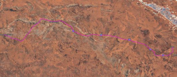
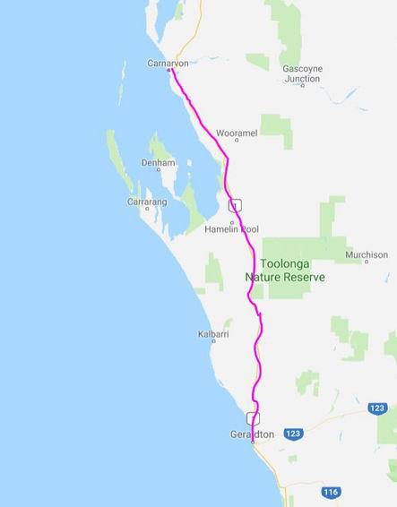
THURSDAY 2 SEPTEMBER WARAKURNA RH TO YULARA 340kms
The alarm went off at 6.45am. I got up and turned it off and went back to bed – my system was sure it was 5.15am! We then got up at 8 and were driving again by 9.20.

John was not interested in visiting the nearby Giles Meteorological Station.
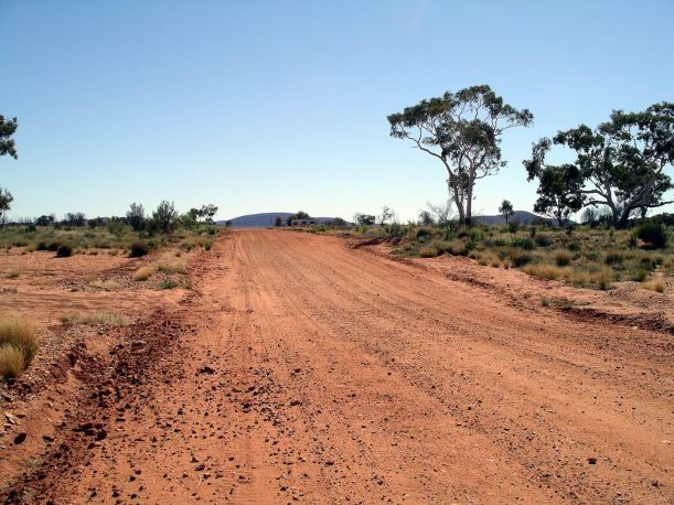
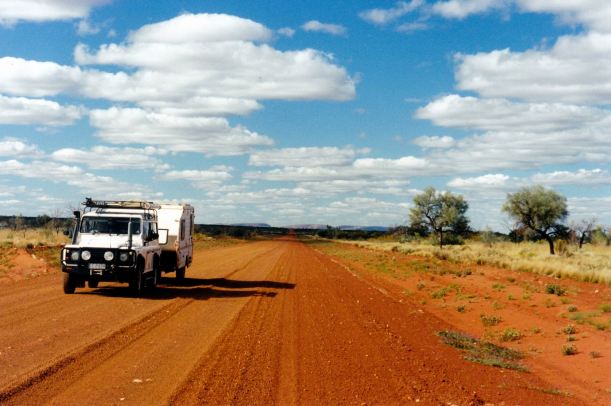
The road was rather corrugated, as far as Docker River.
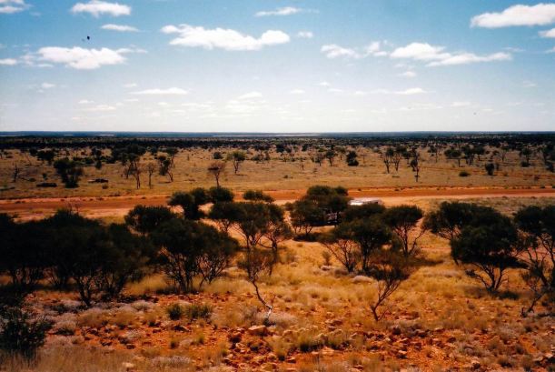
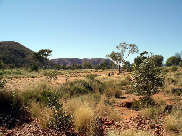
This was an amazingly scenic stage. The road passes between the Schwerin Mural Crescent – a range to the north – and the Petermann Ranges to the south east.
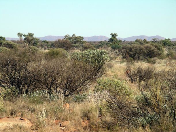

It was just wonderful country.

It was a pity that there were not more open access and camping facilities out there. It would have been an awesome place to stop for a few days.
A landmark about an hour out of Warakurna was Len Beadell’s tree. He was a multi-skilled man who led the surveying and road building party that blazed tracks through these western deserts in the 1950’s and 60’s. The original Gunbarrel road was one of his – required as part of the weapons testing that took place at Maralinga and then Woomera. He marked his routes with metal plaques on trees.
This section of the Great Central Road does follow the route of the original Gunbarrel – hence the tree with its plaque.
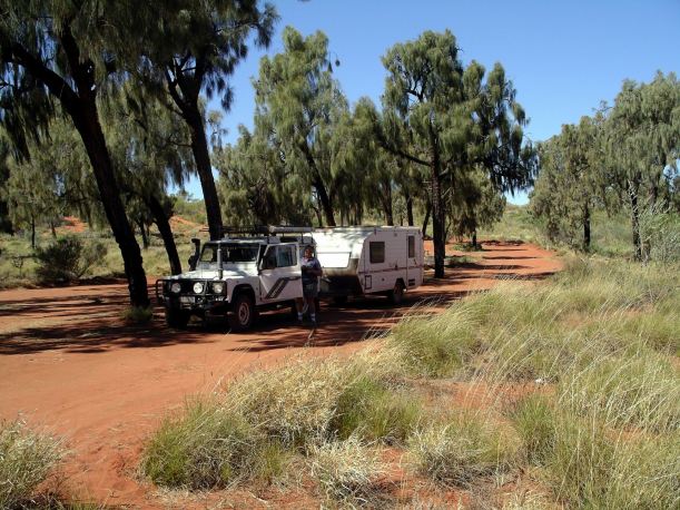
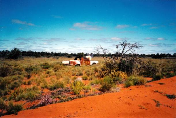
We came upon a wrecked caravan, by the road, on a slight rise. It looked like it had been a conventional van, rather than an off road one. Clearly, the road had won!
A short time after we’d stopped to take a photo of that van, I could hear hissing. A tyre on Truck was going down. We may have picked up a screw from the debris around the broken caravan. We were able to change it before it went fully flat, and that made the process, with the heavy wheel, easier.
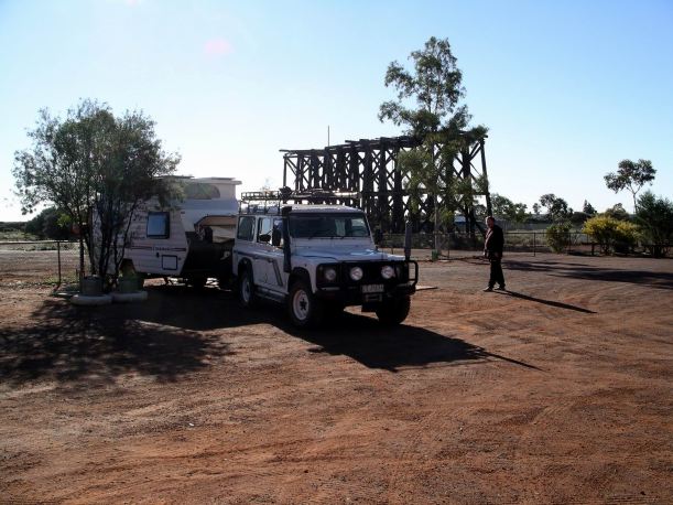
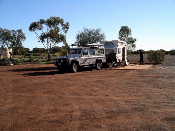
Just after the WA/NT border was the one camping area along the Great Central Road that was not attached to a roadhouse or within a community. This one was a few kms before the Docker River Community, which ran this fairly new facility. We detoured in to have a look.
The camp area was really lovely – just so scenic.
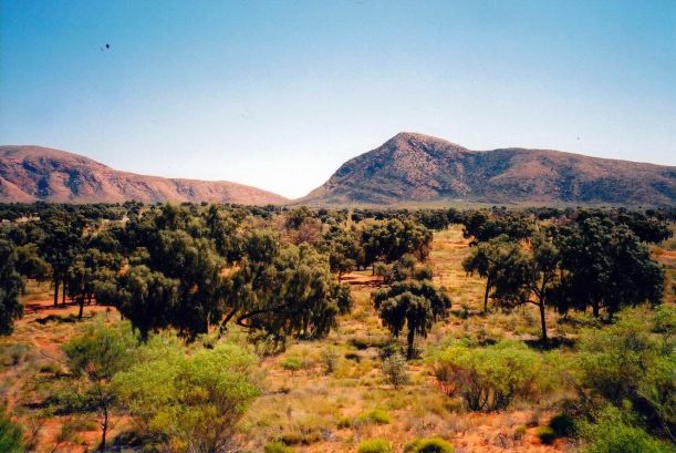
I would have really enjoyed a stay here for a couple of days, apart from maybe a little concern about its proximity to the community. There were camping bays in amongst desert oaks – a tree I love for the sound any breeze makes rustling through them.
There were ranges all around.
The camp ground had water taps, and flushing toilets! There was no one staying here. I wondered how long the community would be able to maintain the campground in functioning condition.

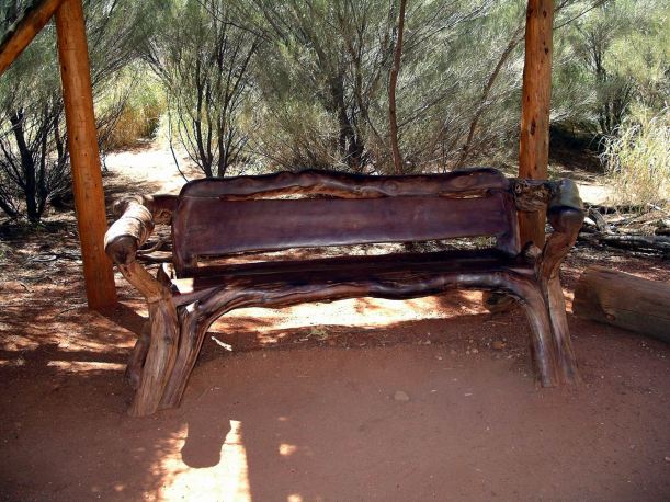
We did a short walk to the top of a nearby hill, to get a great view of the surrounding country and the campground.


People who have not travelled in Central Australia have a mental picture of aridity and barren-ness. The reality is so totally different, as beautiful places like this attest.

Given the limited time remaining for this trip, and the fact that it was still morning, staying here was not feasible, this trip, so we continued on, after spending the best part of two hours just enjoying the place.

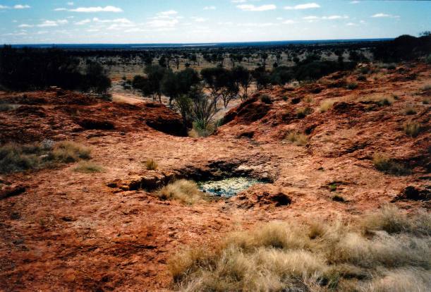
Before too long, we stopped again, at Lasseter’s Cave. We had lunch there and explored around it. The cave is by the Hull River, which sometimes has water in it.

There was a lot of controversy and uncertainty about Lasseter and his supposed lost reef in this area. Lasseter claimed to have found a reef full of gold at the western end of the McDonnell Ranges, around 1900. But his navigation and mapping skills were inadequate, and no one was able to locate it again. An expedition to try again to find the lost reef, in the early 1930’s, went badly astray, the party disintegrated and Lasseter supposedly lived in this cave for a couple of months, after his camels had bolted away. His body was found some distance away – he having died whilst trying to walk to Ayers Rock.

No one knows for sure whether the reef ever existed. It might have been covered by shifting desert sands. I had read somewhere a theory that the area concerned was actually the Harts Ranges, way to the east from here, but I couldn’t see how even the most hopeless explorer could make an error of that magnitude!

We continued on. John felt that the brakes on the van had ceased working. Then, about 80kms from Yulara, the van “grabbed” briefly, a couple of times. John thought that the electric brake magnet arm must have fallen apart again, as it did back in 2000.
We took it very slowly and carefully after that, over the remaining 40kms or so of badly corrugated road. It was a relief to reach the sealed Olgas road, and Yulara after that.
So – that was the Great Central Road. It had been much less arid than I expected, and at the eastern end, much more scenic. (As a postscript, we never did receive the expected permit to drive it!)
We reached Yulara about 3.45pm. Went into the campground there. $31 a night for a powered site!
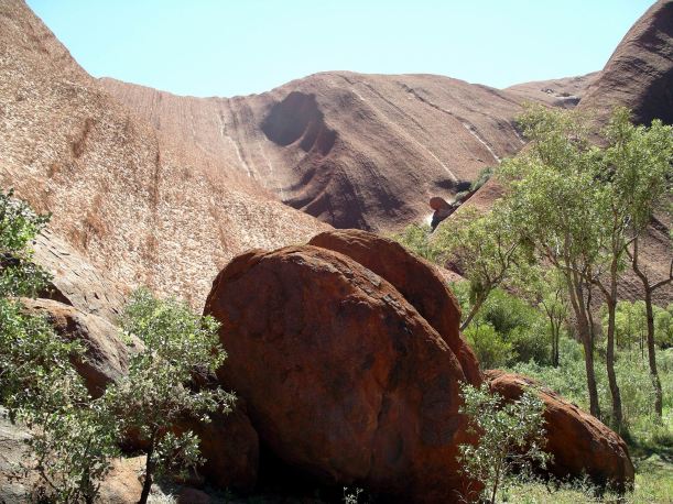
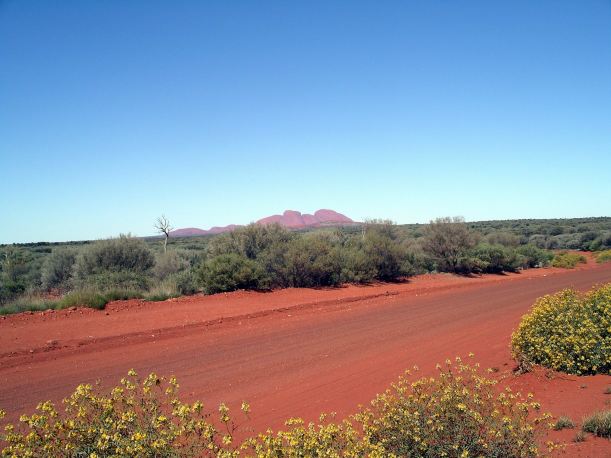
The Olgas and Ayers Rock really are unique in this part of the country. Each time I see them afresh, I think that there are lots of great places in this nation, but nothing quite comparable to these.
We approached the Olgas from the west today – a totally different perspective of them. They were pale purple, and looked like mystical brooding creatures sitting on the land.

I did manage to get John to stop a couple of times, for photos!
After setting up camp, John phoned Trakmaster. They could send up a new magnet, but suggested we try locally, first. So off we went, to the repair place. They were not much use. We did put the punctured tyre in for fixing.
I quickly replenished some supplies at the supermarket.
I phoned daughter, and she found the phone number for the Hardings caravan repair place. John thought he might try phoning them about the brakes, tomorrow. Too late by now, in the eastern states.
Daughter had found part time work in Bendigo and seemed very settled in there. Grandson had a couple of days each week in child care.
I was appreciative of the clean and modern amenities here!
I also rather appreciated the fact that it looked like we would have to stay put here for a few days, until the brake was fixed. Six days of constant moving on had been too much for me. I needed some days that were not just sitting in Truck!