This Adventurous Age

Adventures travelling and working around Australia.


Leave a comment

2010 Travels May 8

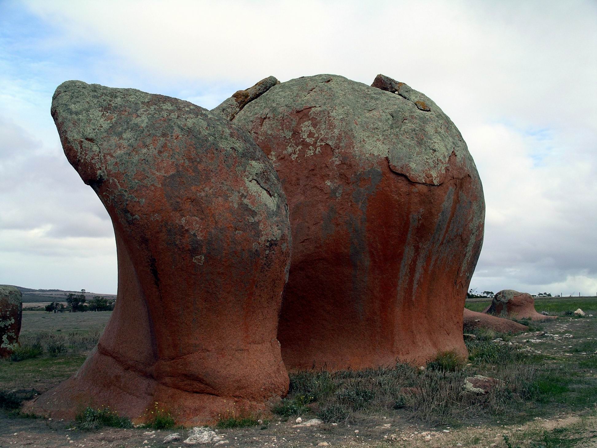
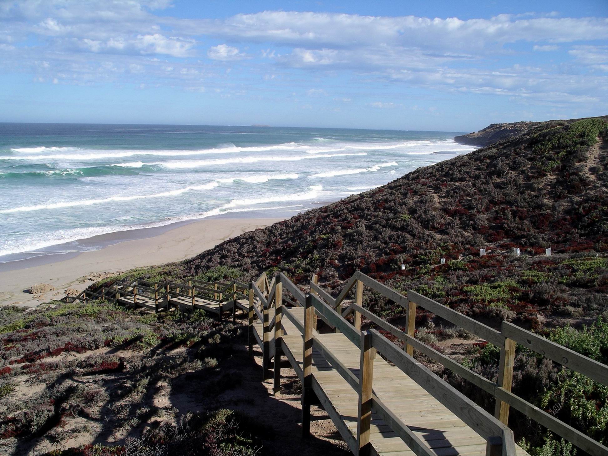
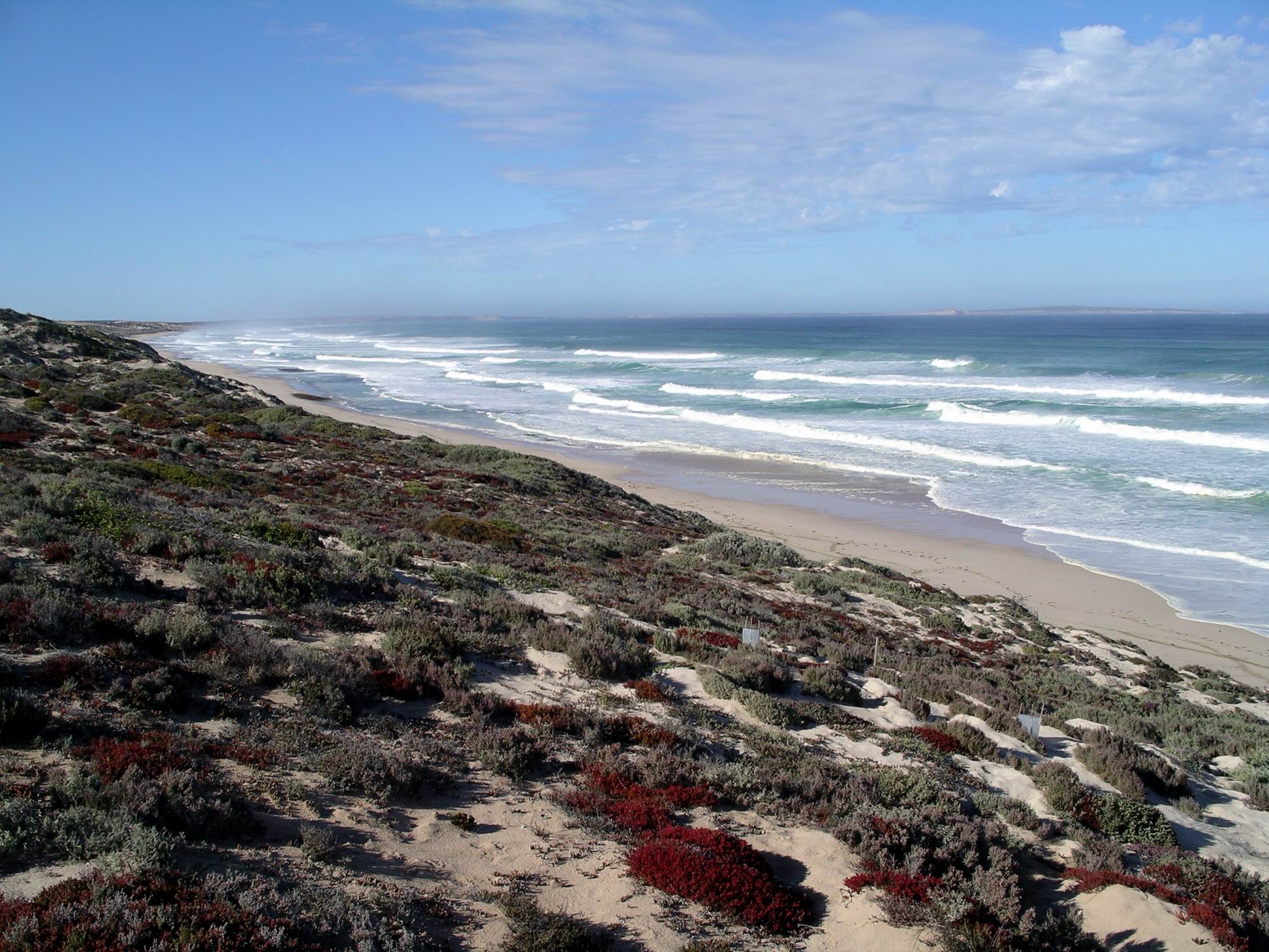
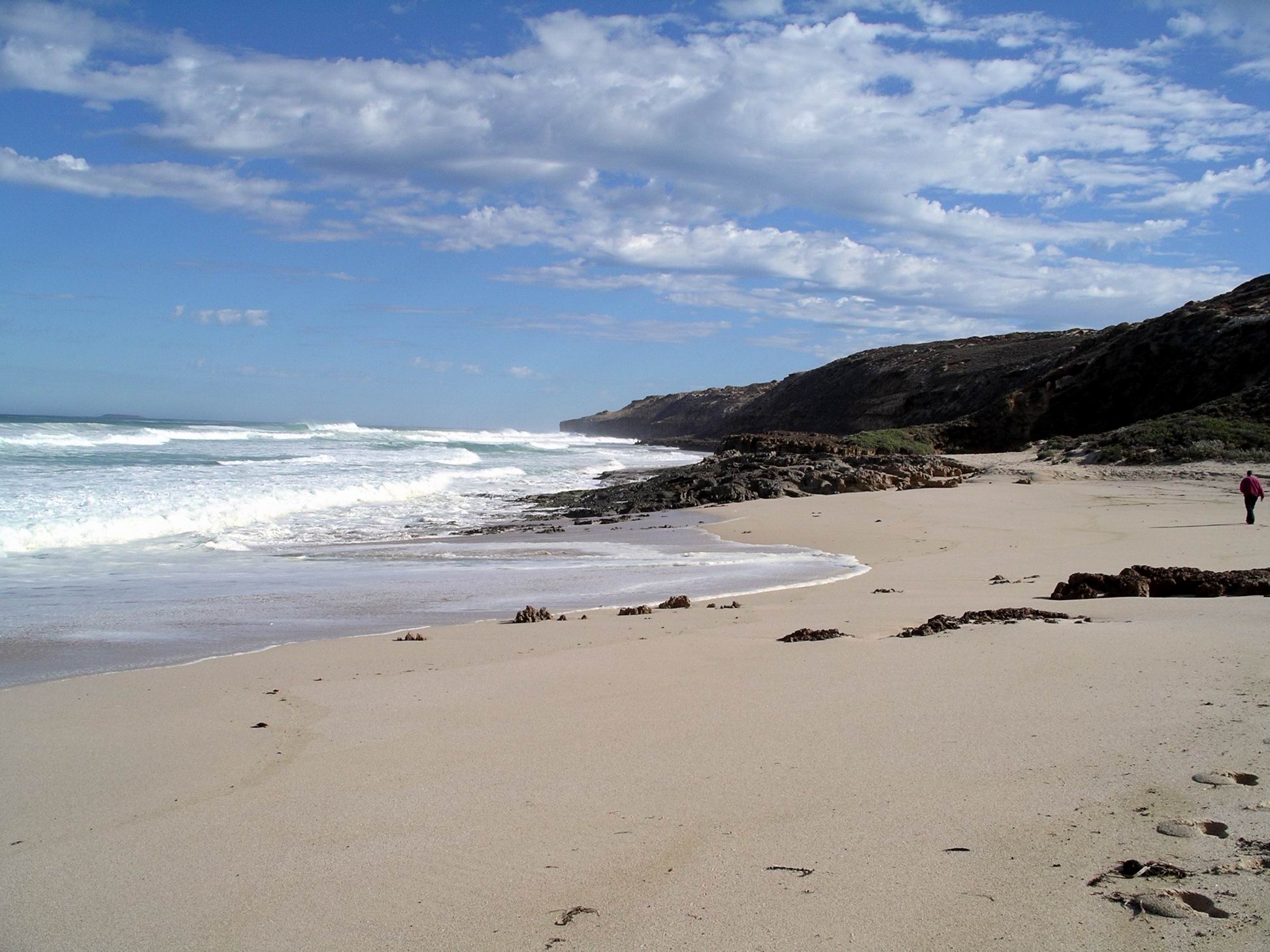
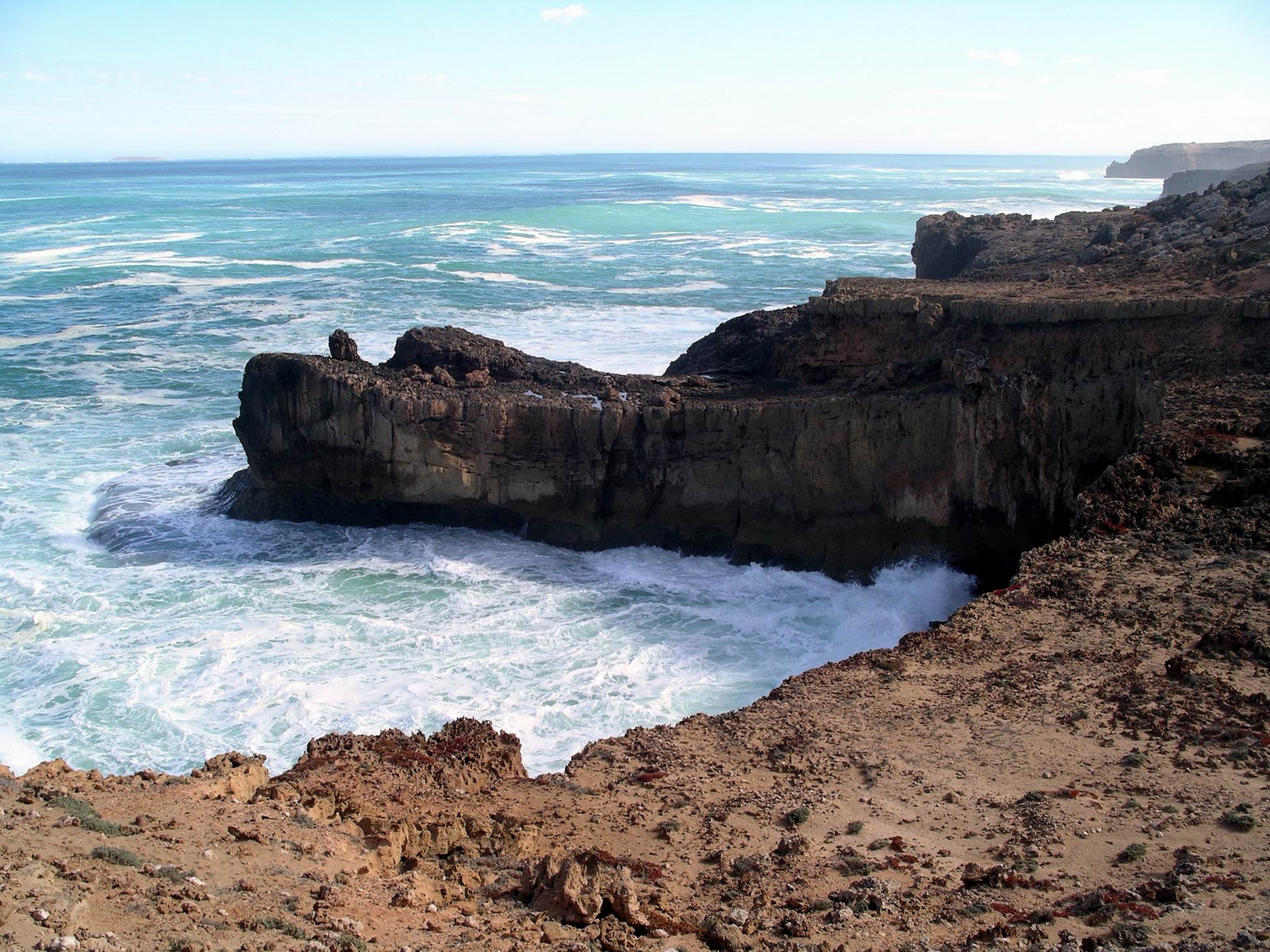
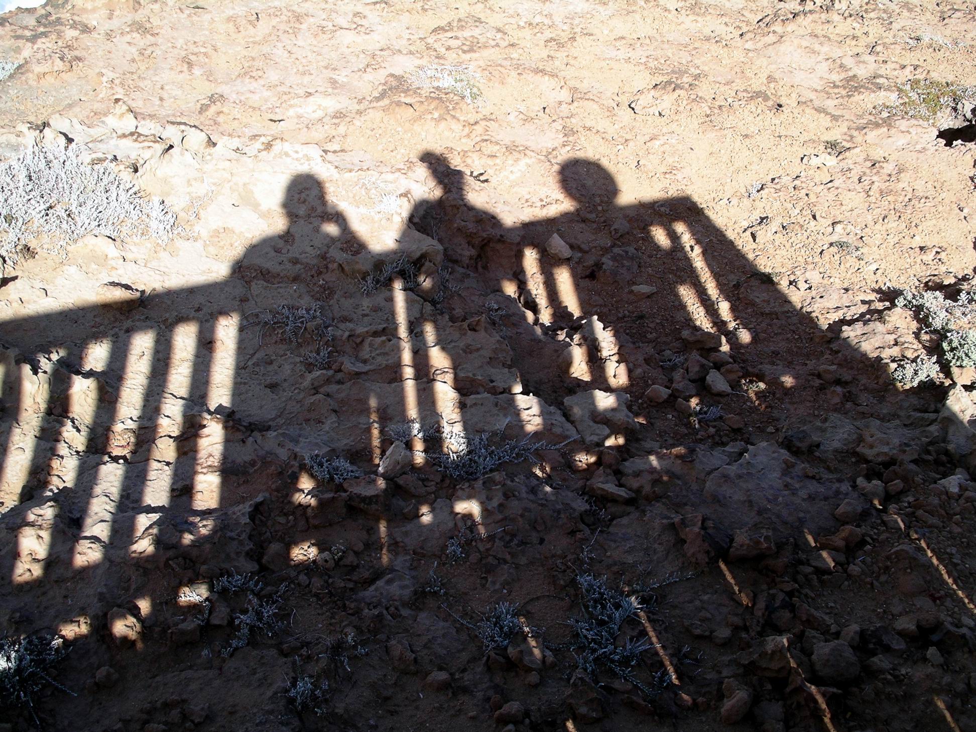
SATURDAY MAY 8     COFFIN BAY

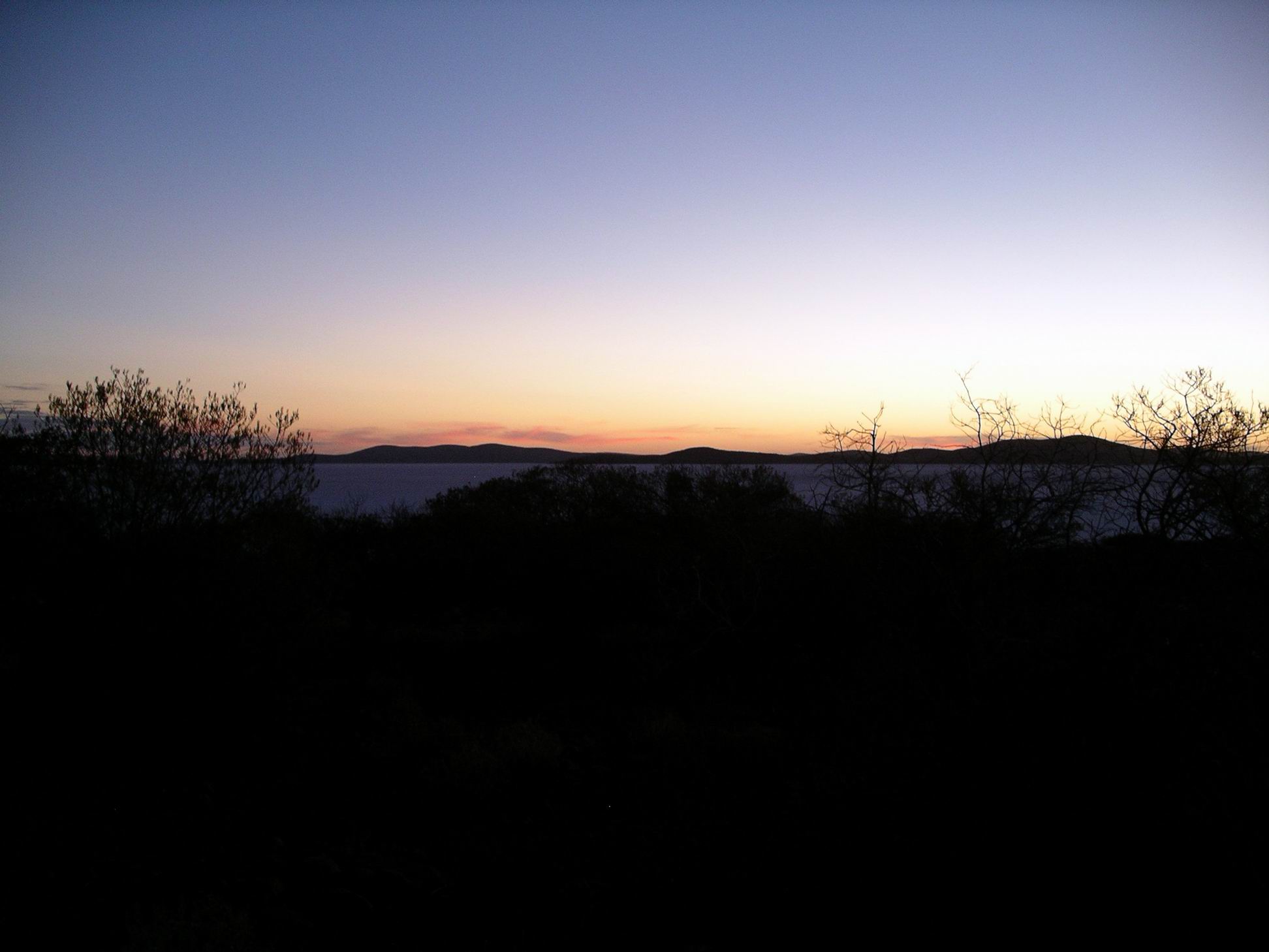
The morning was foggy, again.

After breakfast, M was in her tent, opened a plastic container to get something, and a little hopping creature bounded out and exited the tent, heading for the nearest bushes. She couldn’t remember when that container was last open, so we wondered where that had originated?

The mouse in the Troopy was still disturbing M’s sleep. She sprayed a lot of lavender oil around in there, this morning. She thought she’d read somewhere that mice don’t like lavender, so was hoping it would now leave voluntarily. At least, she should have a calm mouse!

I walked to the shops and bought the Weekend Australian, and some leatherjacket fish cheeks – apparently a local delicacy. Would try them for tea, tonight.

John had been hoping to go to bowls here, today, but found out there was none on. With the day now free, we decided to visit Port Lincoln, about 30kms away.

Our first stop in the town was at a fish co-op sales outlet – it closed at midday, so we had to get in quickly. Bought prawns and oysters. Put them in the little esky lunchbox, with some ice.

We went to the very comprehensively stocked Information Centre and browsed there for a while. M and John booked to go on a boat tour on Wednesday, that would take them round Boston Bay and to the tuna farm out in the bay.The weather forecast for then looked as if it would be favourable for being on a boat. I wasn’t all that keen on the offering, so spent some money on a set of electro-plated little gumnut earrings, instead.

We meandered around the shops and along the foreshore parkland. Saw the statue of Port Lincoln’s famous Melbourne Cup winning horse, Makybe Diva, owned by a local tuna fisherman. She is the only horse ever to win three Melbourne Cups, and the only mare to win that race more than once.

Tribute to Makybe Diva. Port area in background.

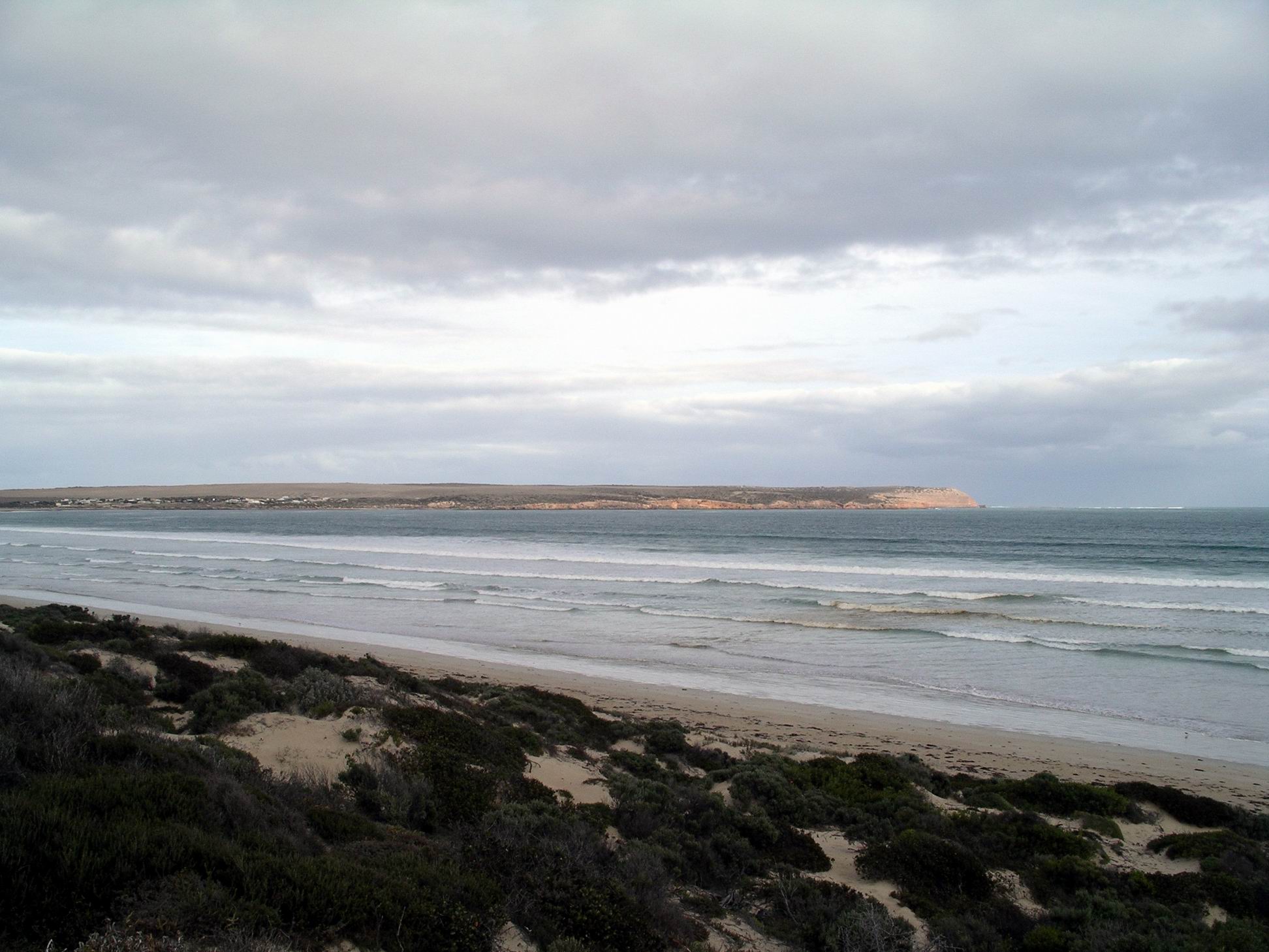
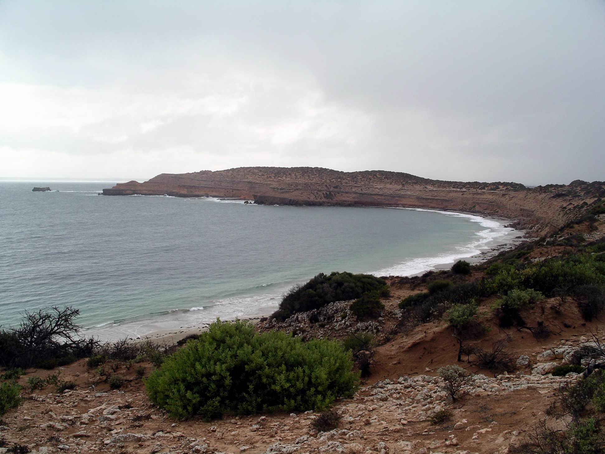
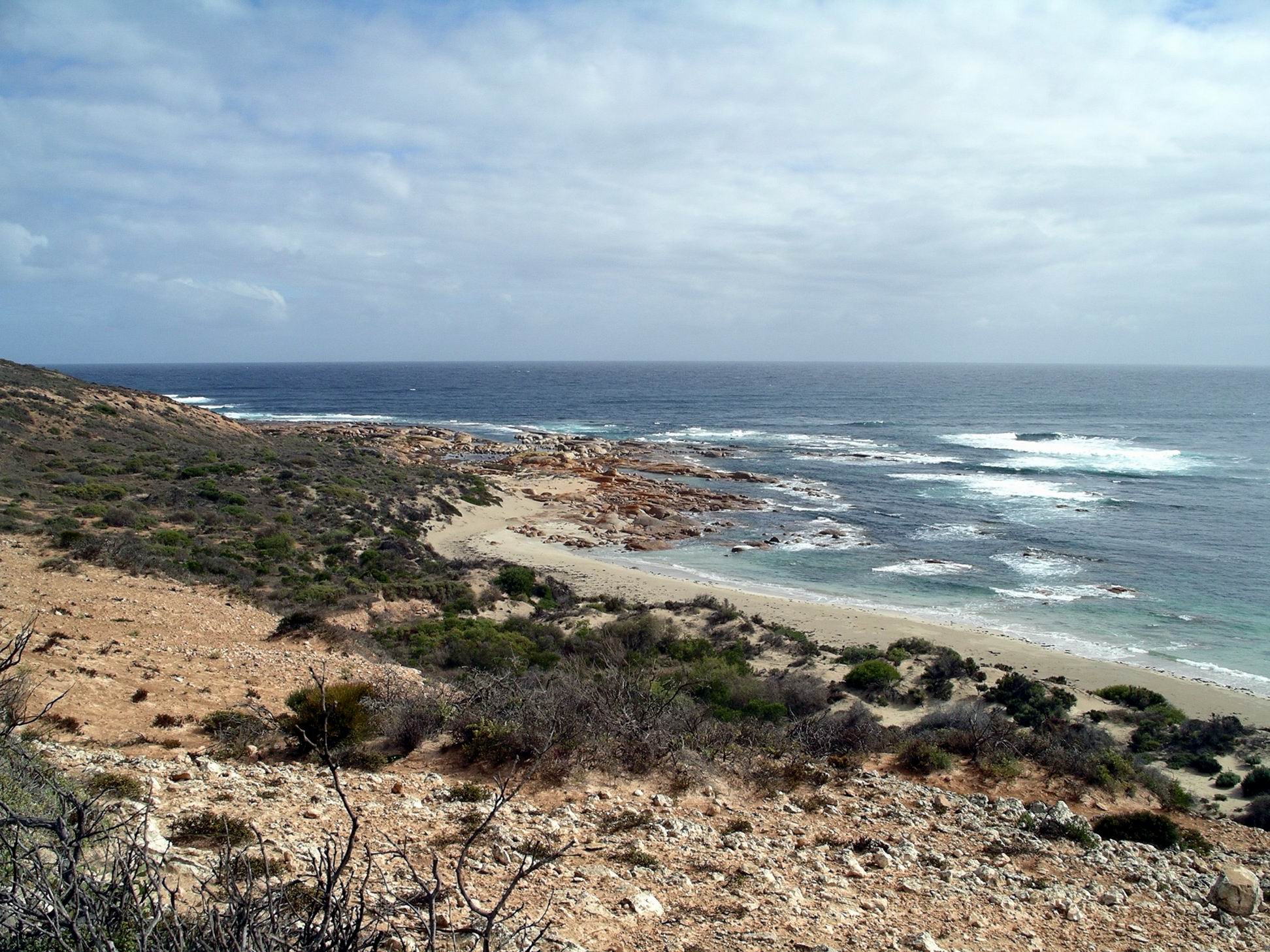
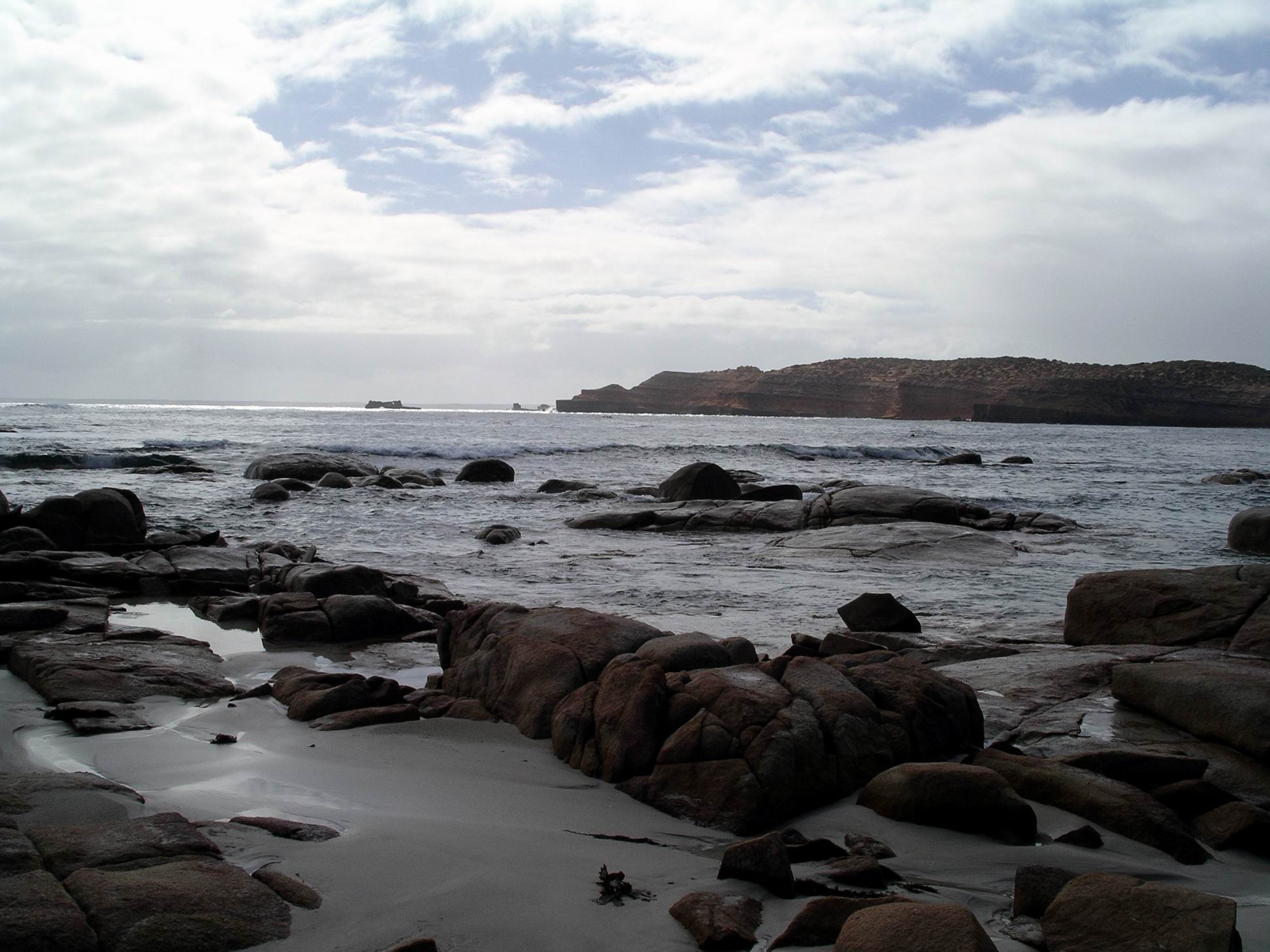
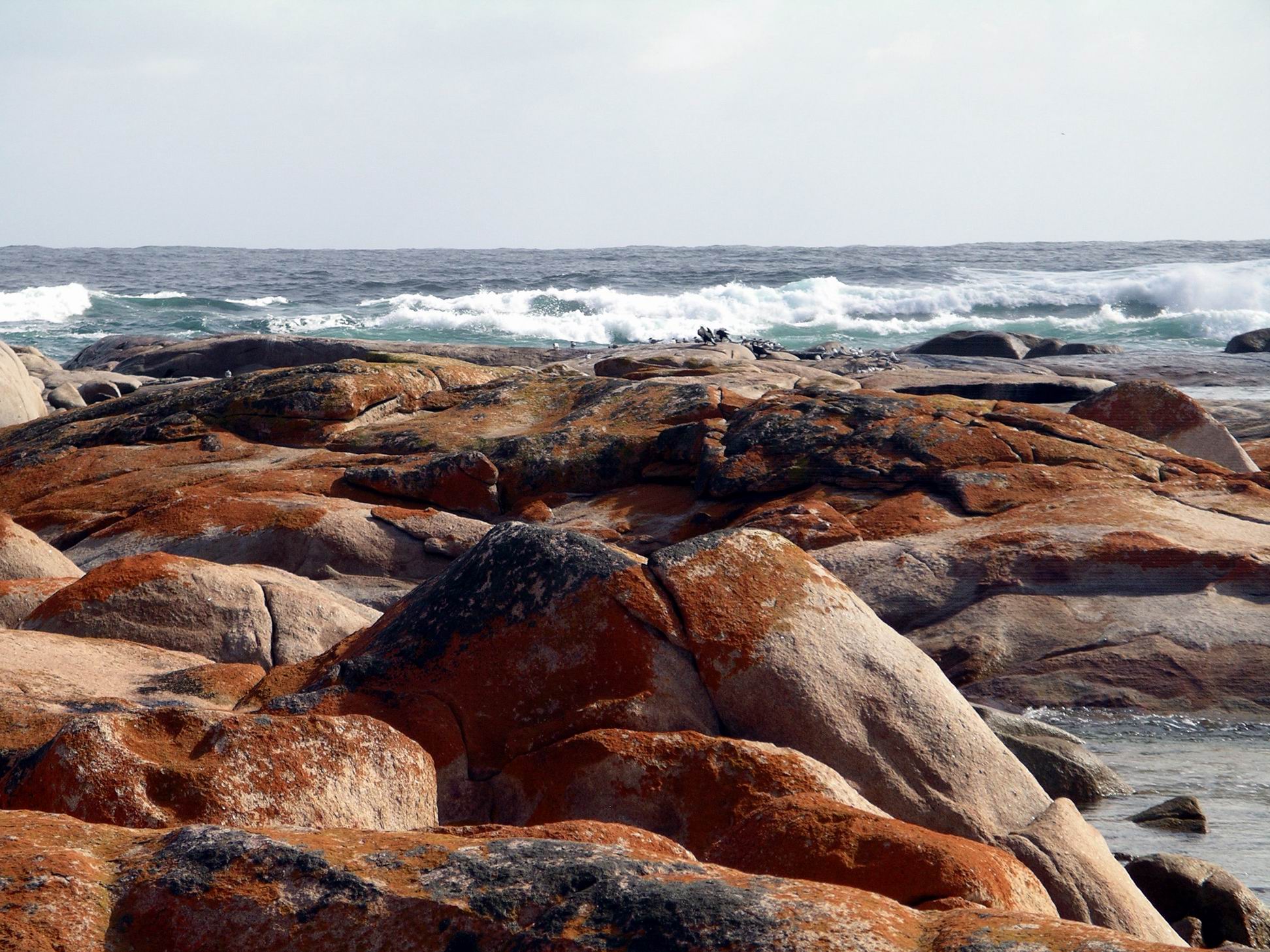
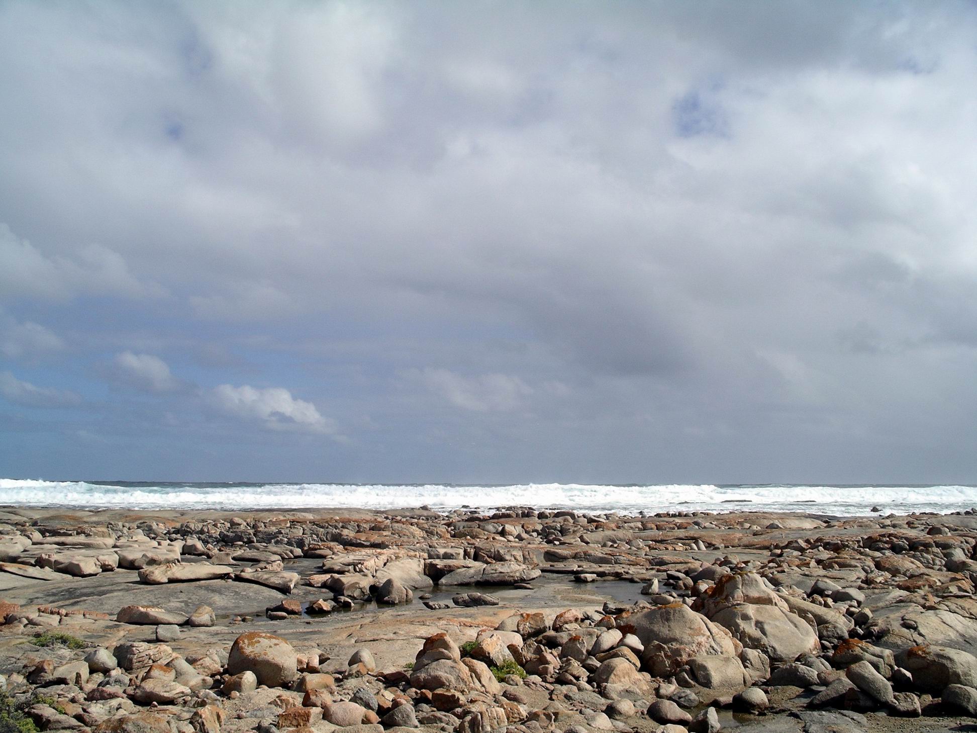
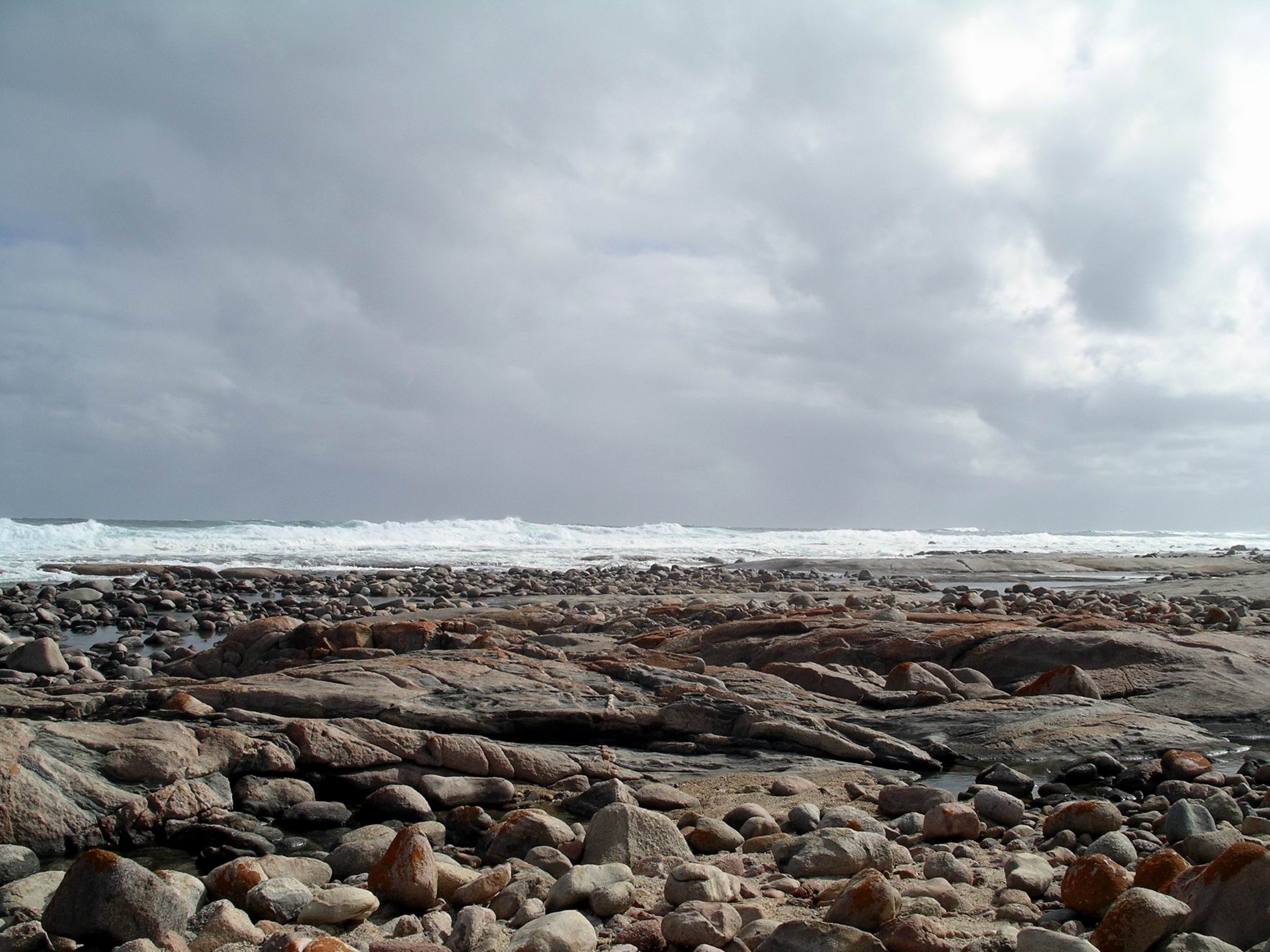
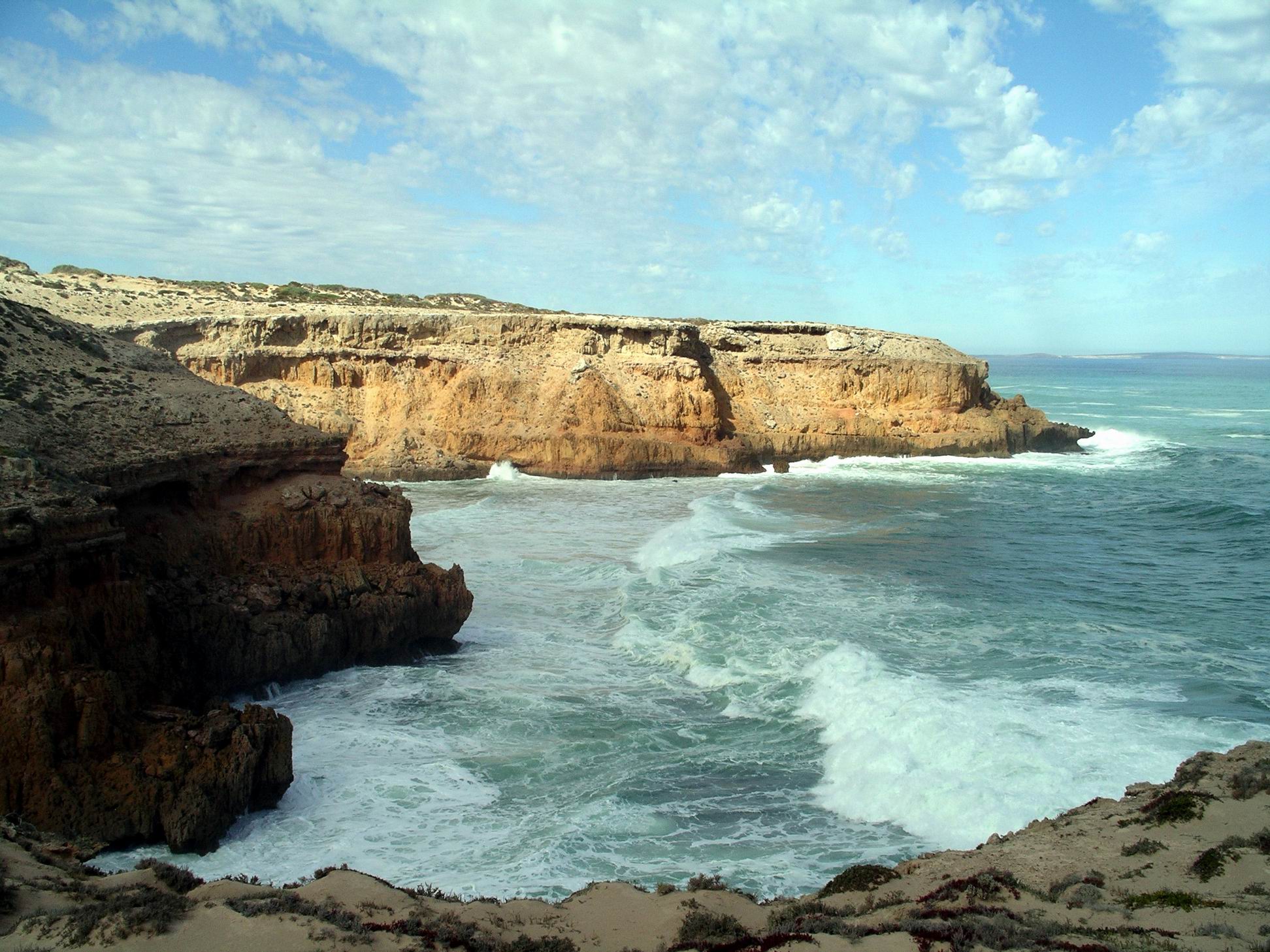
Port Lincoln was very attractive and picturesque, with the sun shining. Like Coffin Bay, it was in a superb setting. It was first explored  by Matthew Flinders, as he charted the Australian coastline, and named for Boston in the UK. Back in the 1830’s, this area was originally a contender for the main settlement of the new colony of South Australia, but was rejected in favour of what became Adelaide.

These days, it is a centre for tuna farming and deep sea fishing, and a terminal from which grain s from the hinterland are loaded on to ships, and fertilizers for the area’s farms brought in by ship.

Drove up to Kirton Point Bowls Club, where John found out about a game of bowls next Thursday afternoon.

We did some of the Tourist Drive suggested in the information brochure – to the very large Marina, home of the largest commercial fishing fleet in the southern hemisphere.

Port Lincoln Marina

There, we walked around and looked at boats – naturally! What else is there to do in a marina?

Lots and lots of serious fishing boats
……and a very nice recreational fishing boar

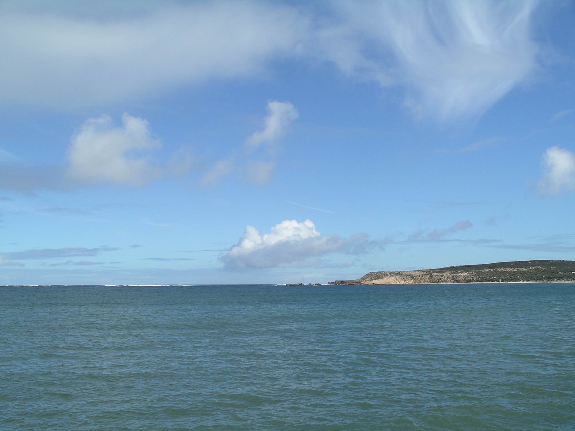
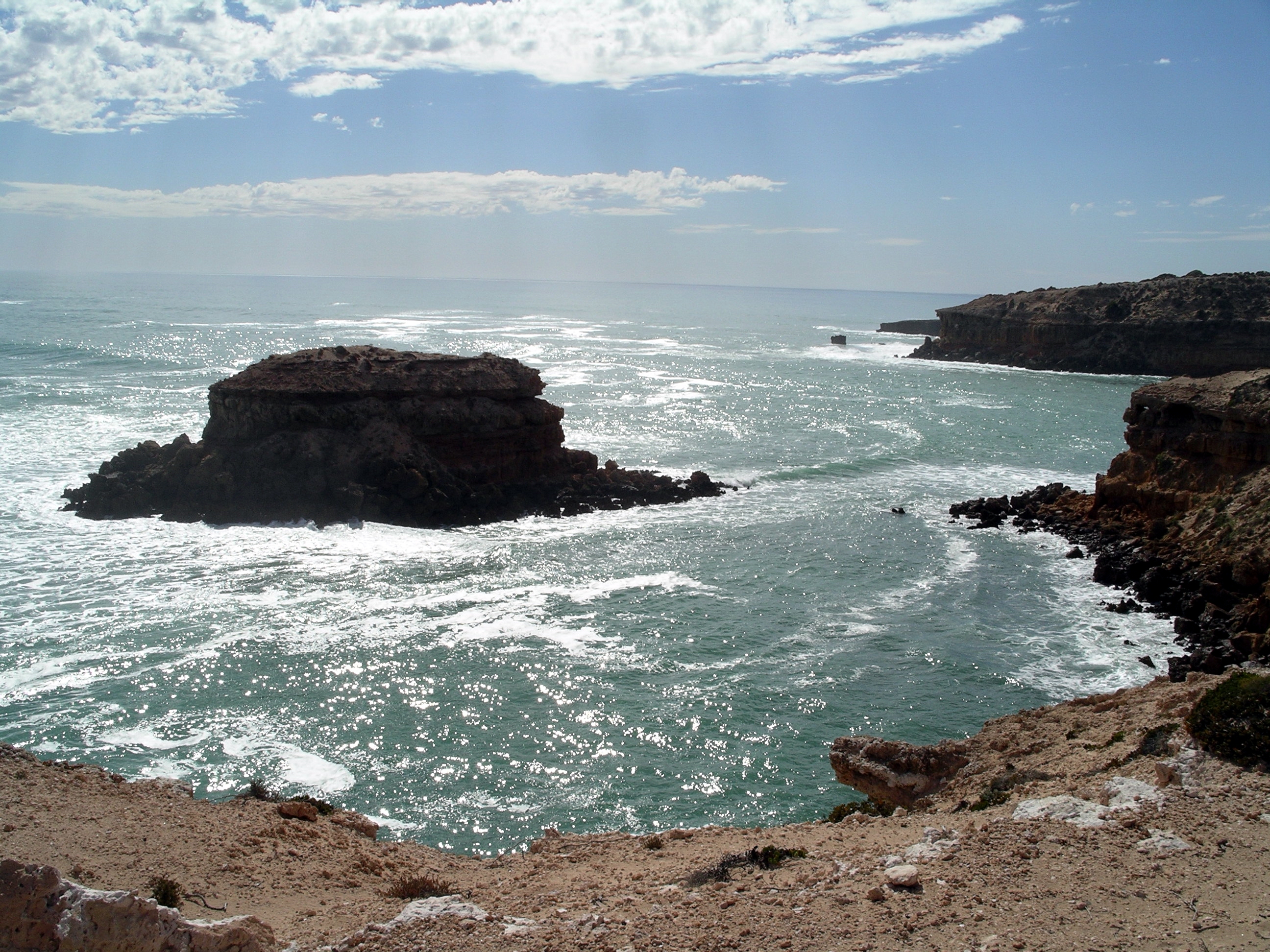
Since it was just a short distance further on, we drove to Billy Lights Point. This gave a good view of Boston Bay, and the large Boston Island off Port Lincoln. This island was a privately owned farm, grazing sheep. I wondered about the origin of the name, Billy Lights Point – maybe it was named for Colonel William Light, the first Surveyor General of SA, the man who rejected Boston Bay in favour of Adelaide.

Looking across Boston Bay to the large Boston Island – from Billy Lights Point

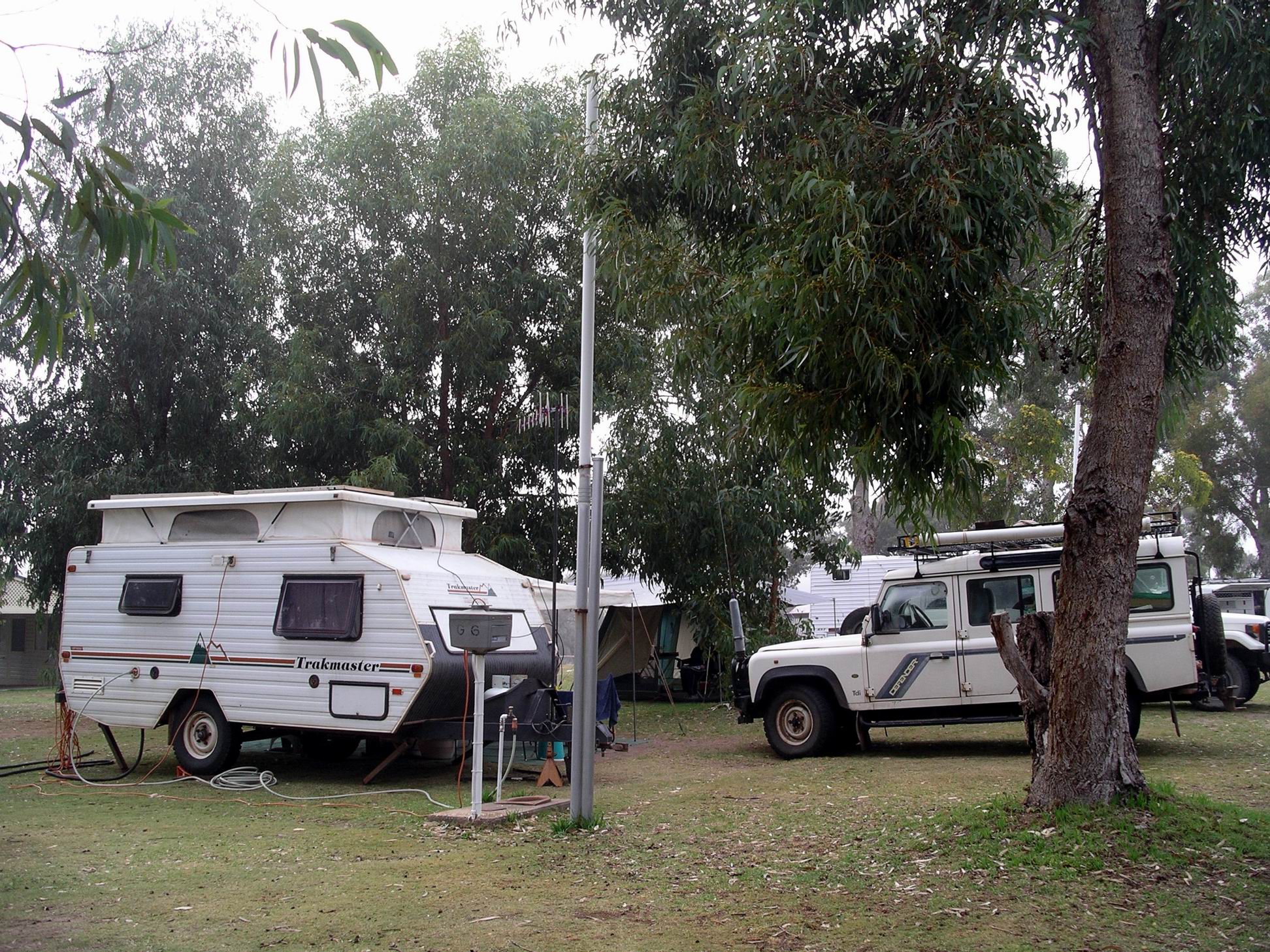
By this stage, John had hit the wall, so we went back to Coffin Bay. He watched bowls on TV for the rest of the afternoon. M and I sat outside, reading and chatting.

For tea, had half a dozen oysters as an entree. Lovely they were. Then the leatherjacket cheeks, dipped in tempura flour and fried. They were really yummy.


Leave a comment

2010 Travels May 7

FRIDAY MAY 7    COFFIN BAY

Woke up to a foggy morning, but it eventually cleared.

Today was a camp based one – mostly relaxing.

Our site with M’s beyond.

M and I walked to the General Store, after breakfast. There were no mouse traps to be had in Coffin Bay, either.

I picked up our mail from the Post Office, forwarded by daughter, to whose place I’d redirected our mail before leaving. There was nothing of note there, apart from a set of spectacles for John. He had ordered these, over the Internet, before we’d left home, wanting them for close-up work – reading and computer use. When he tried them, though, he found they were like his “proper” glasses – fine for normal seeing and distance – but useless for close up work. I suspected that the Internet was not the best way to acquire glasses that worked….

John phoned our new, good mechanic, at home. The one who had already done much work on Truck, this year. His advice was that the best solution to the coolant/heater issue, was to divert the coolant away from the heater, until we got home. Sounded logical. John did the necessary pipe shuffle, as described to him by mechanic. Now, we had no functioning heater. If the weather turned wintery, there could be some very cold feet.

After lunch, M and John went walking, on the Oyster Walk track, which follows the shoreline for kilometres, from Kellidie Bay, along Kellidie Inlet to Mount Dutton Bay. They walked a long way and were away for about three hours. I didn’t go because my back was a bit sore, and I didn’t want to aggravate it.

The Coffin Bay area (Google)

Chicken kievs for tea, with broccoli.


Leave a comment

2010 Travels May 6

THURSDAY MAY 6     STREAKY BAY TO COFFIN BAY     280kms

Packing up again took a long time – for all of us.

The gear was wet too, which didn’t help. As the sites were fine gravel, trying to clean off and fold up the wet awning roof, without picking up lots of little stones too, was a challenge.

M really needed a different “living” arrangement, in my opinion. That current tent was a fool of an arrangement.

After all the trials of the pack up, we had only gone a couple of kms from Streaky Bay when John noticed that the temperature gauge was rising too much. Pulled over. When he checked under the bonnet, saw that the coolant expansion tank was almost empty. That was a worry. He added some water to that, then we did an about turn and drove back to Streaky Bay and bought a container of coolant. We always used to carry a spare container of this, in our general travels, because we were often in remote areas. Never needed it. Of course, this time, when we did, the spare coolant was at home!

Started out again, somewhat tense about what might be going on under the bonnet.

Stopped at the next town down the coast, Venus Bay, for a little explore. Walked out along the unusually curved jetty to where there were some fishing boats tied up. A dinky little “railway”, with manually pushed trolleys made it easier to move the catch, and provisions, back and forth along the jetty, which was really too narrow  and decrepit for car or truck transport.

Venus Bay jetty

On our wanders, kept a very wary eye on pelicans perched on top of the – substantial – light poles. A “splat” from one of those would not have been at all pleasant!

Walk below at your peril!

We drove up to the Lookout, behind the town. Well worth the effort of doing so – great views.

Venus Bay coastline

While we were parked up at the Lookout, I noticed coolant leaking from under the heater on my passenger side. The accounted for the acrid sort of smell I’d been noticing for the past three days or so, and not been able to find a source for. John and M had a fiddle with the pipes but without any apparent effect.

We stopped at Elliston to buy lunch. We’d read good things about the bakery there, so bought a selection of pies, pasties and sausage rolls. Lunch cost us $23! Not something we’d do too often, at those prices. The food was alright, without being awesome. I tend to find the thought of sausage rolls much nicer than the reality, anyway.

There was a Scenic Drive, from Elliston, which followed the coast around in a loop. M went off to do that. John did not want to do it with the van on, and what we could see from the town didn’t look all that scenic, so we continued on to Coffin Bay alone.

Elliston – Scenic Drive in distance

On previous passes through these parts, John and I had not been attracted to either Elliston or Venus Bay as potential places to camp for a while. We still weren’t.

A little way past the hamlet of Wangary, we turned onto Airport Lane, which we knew would take us through to the Coffin Bay Road.

Booked into the Coffin Bay Caravan Park for a week. $26 a night, with the seventh night free. We had stayed here a couple of times before, so knew we would want to spend that time here.

The Park had expanded since the last time we were here, with a very nice new amenities block built.

We were put onto one of the older sites at the top of a gradual rise, not one of the newer, drive-through van sites. This was because of M’s outfit being a vehicle and tent – and we wanted adjacent sites.

We had a goodly amount of space around us – sites in this park were pretty spacious. And grass underfoot again! Kangaroos grazed around the sites at night – there was plenty of evidence of that around!

M arrived not long after us. She had missed the short cut turn off, so had done some extra kms.

Set up, then relaxed for the rest of the afternoon.

After the big lunch, tea was small – chicken noodle soup thickened up with a tin of creamed corn.


Leave a comment

2010 Travels May 5

WEDNESDAY MAY 5     STREAKY BAY

Today a longer drive was on the agenda, to wrap up our sight seeing from the Streaky Bay base.

Again, headed south on the Sceale Bay Road. The roughly 30 kms provided some variety – farmland, low scrubby bush, then the Yanerbie Sand Hills off to the west, and finally, views out to sea.

The settlement at Sceale Bay was similar to Yanerbie.

We didn’t linger, but doubled back a little way then took the Point Labatt road. This route, in part, followed the western side of Baird Bay, a long, narrow inlet. In a few parts, the road was almost in the water of Baird Bay!

Sceale Bay and Cape Blanche

The attraction at Point Labatt was, of course, the sea lion colony there – the only such colony on mainland Australia.

Sea lions sunbaking – and their ponderous flipper prints.

A platform has been built at the top of the cliffs, so one can watch the creatures going about their normal lives – which are lived at a pretty slow pace. There are little coves below, where they sleep and sunbake, on the sand and rocks. Some of them were really big, and so ungainly out of the water. The big old males could be pretty bad-tempered too. It occurred to me to wonder if that’s a mammalian characteristic that is common across different species? Decided it might be politic to keep that thought to myself, though.

When we’d watched our fill of sea lions, drove back to Sceale Bay road, then east to Calca, then took a minor road back down the eastern side of Baird Bay, to the township of that name. It resembled Yanerbie, too, only somewhat larger.

We sat in our vehicles, looking across Baird Bay to the far side, where we’d driven earlier, and ate lunch.

Retraced our way, stopping briefly to have a browse around in the Old Calca Cemetery, a small collection of old graves sitting in the middle of a harvested paddock. Bleak, lonely, sad.

Thence to Murphys Haystacks. This stop was more interesting than I’d expected. Like Pildappa Rock, these are inselbergs, but not as big.

Murphys Haystacks

There’s a number of them, in clusters, quite close together, with a path that wanders around and through them.

They are a strange and unexpected occurrence in the flat farming land.

Eroded into strange shapes…

Apparently, the original Murphy, who had the farm around these formations, was buried in the Old Calca cemetery.

The head of a sea lion?

Arrived back in town mid-afternoon. Checked out a hardware shop and an electrical store – in order to buy M a heater! Suddenly, she’d gone from scoffing at the creature comforts we carry, to being a convert…

I had a quick browse in a craft store. Didn’t see anything I couldn’t resist.

The mousey resident was still keeping M awake at nights, and she had been finding the odd chewed-through items in her stores. But there was a mouse plague in these parts, and not a mouse trap to be had in town!

From camp, we went walking along the track that follows the western shoreline of Blanche Port, out and back. We probably walked about 3kms in all. The flies were really sticky and annoying, and we had a couple of short spells of light rain drizzle, so it wasn’t the best of conditions. Watched a couple of nankeen kestrels hunting and hovering, looking for their dinner, admiring how they could hover in one spot for some time, despite the breeze.

Streaky Bay beach

Tea was ham steaks and pineapple, mash, and John had a couple of eggs with that.

This was another chilly night. M christened her new heater.


Leave a comment

2010 Travels May 4

TUESDAY MAY 4     STREAKY BAY

My baby turned 36 today. I’d already posted a card to him, from here, on Sunday, but today sent him birthday wishes via text, as well. Didn’t think the mail service was that efficient.

Today’s sightseeing was the Westall Way Loop drive, ranging a bit further afield. This took us out the Sceale Bay road, then off on a side road, firstly to High Cliffs.

High Cliffs

High Cliffs was a bit of a misnomer. Where the track took us to was a parking area above a moderate slope down to a beach some distance below. However, from the parking area there was a clear outlook to  high and steep cliffs to the north.

Rock shelf south of High Cliffs

We clambered down a rough track from the top, to a small beach with some granite outcrops at their end, and explored amongst those for a while.

Very photogenic, they were.

Scrambled back up the track to the vehicles, then drove on further – only a short distance further – to another lookout. Here, there was a built, stepped path, down to similar rock formations. We decided we’d just been exploring part of the Granites – from the other side – and had done it the hard way!

Did some more exploring there. There was something exciting about wandering around the rocky area while the waves crashed further out. I think the rather stormy skies actually added to the attractiveness of the whole area – certainly made it more dramatic looking.

We had come down the incline in the distance

Our next stop and wander was a bit further south again – Smooth Pool. It is as it sounds – an area in the granite rock shelves protected from wave entry, so just smooth water. I imagined that, in warmer weather, it would be a great place for children  to cool off, in a safe area.

Continuing on around the Westall Loop Road took us to the turn off to Yanerbie, and we had to go have a look at that settlement. It was a small collection of beach houses and shacks. Frankly, we couldn’t work out why people would be bothered to be there! It was bleak, barren and with no services. A pleasant view over Sceale Bay to Cape Blanche was its only redeeming feature.

We parked and ate lunch by a weed covered “beach” near Yanerbie, and watched a seal – or a little sea lion? – swimming about. These lunches with marine life entertainment were great!

The Yanerbie Sand Hills that we drove by, on the way back to Streaky Bay, were something different in the otherwise flat and rather boring landscape. A section of the coastal sand dunes at the northern end of Sceale Bay had become destabilized, probably through vegetation disturbance or removal, and the dunes had begun to move inland. They were quite high, as in much taller than houses, shining white, and slowly encroaching on the surrounding farmland, such as it was.

Google view of the Yanerbie sand blow

Got back to camp mid afternoon.

Fish and fries again for tea tonight – the whiting was excellent.

The night was very chilly, and with drizzling rain. We lent M our small electric fan heater, to warm her sitting tent.


Leave a comment

2010 Travels May 3

MONDAY MAY 3     STREAKY BAY

We had a fine day, blue sky for most of it, very pleasant.

Set out to drive the Cape Bauer Loop tourist drive. This would not be too onerous for John, but would give a good sampling of the spectacular coastal scenery to be found around here.

First stop was Hallys Beach. A long but well graduated boardwalk took us down to the beach, which stretched into the distance.

The way down to Hallys Beach

We walked for some distance along the beach, and back.

The long expanse of Hallys Beach

John was standing near the water’s edge and wave watching, when a big one suddenly reared up and “chased” him. His efforts to get going in the sand were hilarious – cartoon worthy. The waves were certainly impressive.

Northern end of Hallys Beach

Back up the boardwalk, which didn’t seem nearly such an easy gradient going uphill.

Drove on to Whistling Rocks and the Blowholes.

Wave platform at Whistling Rocks

The Whistling Rocks were great. Waves forced air and water through fissures in the rocks and this made an impressively loud noise. There were steps built to these and to lookout platforms.

We spent some time at each platform, trying to get good photos of waves crashing onto the rocks, blowholes blowing, and rainbows in the sea spray.

Then more driving – on to Cape Bauer itself. This was the southern head of the Streaky Bay, so named by explorer Matthew Flinders, because the water surface in the bay was – streaky! As it still is.

The rugged Cape scenery was impressive. We watched a pod of dolphins playing about in the surf.

Dolphins
At Cape Bauer

Continued on the loop road, following the coastline around, back towards town. We stopped at the boat ramp area – inside the small Blanche Port inlet bay at the head of which the town is built. Ate lunch there, watching two dolphins swimming around just in front of us.

Rather than go back to camp, took the track to Back Beach. The tide was in, and there was no beach to speak of, so we didn’t try to walk down onto it.

Back in town, refuelled Truck. Went to the seafood outlet shop and bought six large whiting fillets. These cost $25 but would do us for two meals.

Tea was whiting, fries and salad.

John phoned one of his bowls acquaintances at home. Ever since our time with the dingoes at Pungalina in 2005, we had kept revisiting the idea of getting a dog. Now, we were to get a cattle dog pup from this bowls family. The news was that the pups had been born: four females amongst them, which was good, because that was what we wanted. The mother dog was part stumpy-tail cattle dog (yes, it is a distinct breed), part blue heeler, and it appeared that only one of the pups had a proper tail. We might have to get used to having a “tail-less” dog. All very exciting – but an event that would certainly cause change to how and where we travelled in the future.

For once, a reason to look forward to going home!


Leave a comment

2010 Travels May 2

SUNDAY MAY 2     STREAKY BAY

M and I both hit the park laundry in the morning. I did two loads. It looked at first like it might rain, but then cleared to some sun. It was a nice breezy morning then and our clothes were dry by early afternoon.

John had been able to have a bit of a sleep in, but late in the morning we all walked up to the shops. Got papers. Had coffee – a nice treat – at a slightly trendy coffee shop. M had scones and jam and cream too.

Went to the IGA for some oddments, including a china coffee mug to replace my old enamel one, which had become quite badly chipped. It was time I drank my coffee with a little more style!

We also bought a bottle of Grey Nomad wine. Brilliant labelling – with a retro caravan on it. Hard to resist, not for the wine but so we could keep the bottle. M also bought some to give to friends at home.

That constituted a reasonable walk for us. Later in the afternoon, M and John went off to watch the bowls in progress.

M’s site behind ours at Streaky Bay

Quite obviously, this park catered for a number of fishing people, as well as bowlers. There was a fish cleaning station by the beach. It attracted some hopeful pelicans, whose antics were amusing to watch.

Watching…….hoping……
All things come to ……

We decided to extend our stay here by two more days, making five in all.

Tea was pork belly strips, and rice.


1 Comment

2010 Travels May 1

SATURDAY MAY 1     MT IVE TO STREAKY BAY     280kms

In the morning, M’s outfit took forever to pack up. The “tent” contents had to be taken down and packed into the Troopy, then the tent itself cleaned out, dismantled, folded up and also packed away in its allocated space. It provided space, shelter and comfort when camped in one place for a few days or more – but the downside was the time taken to put up and down. M had been trying for the past six years to find the optimum balance between comfortable camping and the ability to travel tracks like the Canning Stock Route. She was yet to find it……

There was also a big tarp that covered the otherwise leaky roof, to be dealt with.

There was a dead “mouse” under the tent’s waterproof floor. We presumed it had hidden under there and been walked on. Poor little thing. Now we were hoping it was a house mouse and not a native critter!

When we eventually departed, drove west, to the corner with the Kingoonya road, then turned SW through Yardea Station and the western section of the Gawler Ranges National Park. Signage wasn’t great, so we had a couple of missed turns. One of these resulted in a multi-point turn with our rig, on a narrow track – not fun with the van on!

It was hot enough travelling on this day, without getting all hot and bothered by such mishaps as well.

The tracks were mostly reasonable, with the exception of the section through the National Park, which was sandy in some parts and very lumpy and bumpy in others.

Decided we would detour a few kms to the east, to Pildappa Rock, so M could see this feature.

Pildappa Rock is a granite inselberg – think of a rock “island”. Millions of years ago it was underground, but erosion had exposed it. We had never been to Wave Rock in WA, but thought Pildappa Rock must be rather like it.

Pildappa Rock

In one section at the base, gutters had been constructed to collect and channel water, in earlier pastoral times.

Gutters were built at the base of the rock to trap water and direct it to a storage well

We walked/climbed up to the top of the Rock, relatively easily.

There were great long-distance from the top, including to the distant Gawler Ranges.

Distant Gawler Ranges

On the top were lots of small pools in dips in the granite surface – gnamma holes.

Gnamma holes

We spent about an hour wandering about on the top, then came down and had lunch at one of the BBQ shelters provided. There was also a toilet.

Pildappa Rock was a known bush camp area. There was one Bushtracker van camped there when we arrived, but no vehicle. It returned while we were eating lunch.

We rejoined the “proper” road system at Minnipa, followed Highway 1 west to Poochera, then cut across on a good back road to Streaky Bay. Reached there mid-afternoon.

The Streaky Bay Caravan Park was much busier than I’d anticipated, for this time of the year. Then it was explained – a week-long major bowls tournament started in the town, today!

We were able to get adjacent powered sites for $27 a night, after Seniors discount. We booked in for three nights, with a possible extension flagged.

The park seemed much improved over what I remembered from our last time here, in 2004.

After setting up, drove to the shops. We needed some fresh produce from the IGA supermarket, and to restock the beer supplies.

Back in the land of TV and phone coverage and internet…….There were several messages to be dealt with, and news that the Bendigo grandson had caught some contagious virus, from a swimming pool.

I roasted a chicken, with vegies, for the three of us, for tea.

No more campfire! John watched AFL football, on TV, after tea. M retreated to her tent, to read and do crosswords. I read.


Leave a comment

2010 Travels April 30

FRIDAY APRIL 30     MT IVE

We had intended to leave today, but John had major cramps in his calf muscles, through the night, and needed a rest day. He had, to date, managed so much better than we had expected, but maybe the walks of the previous two days had been too much.

For something to do, in the early afternoon, we went for a small drive, just a little way down the access road, and spent some time watching and taking photos of the Major Mitchell cockatoos that lived around here.

Major Mitchell Cockatoo – the lookout

Some of them were having a feed of paddy melon, so were staying relatively still for us.

Other than that, we just lazed about. Did some packing up.

Mt Ive critter
Former Mt Ive critter

Had our final camp fire and happy hour here. It had been great, out here in the remoteness. It would be back to relative civilization tomorrow. I would miss the quiet, especially at night.

Tea was fish, in batter, and fries.

Sat round the camp fire until bedtime.


Leave a comment

2010 Travels April 29

THURSDAY 29 APRIL     MT IVE

It was a warm, fine day, with clear skies.

We lazed around camp in the morning, having decided we would go out to Lake Gairdner again, later in the day, and stay to watch the full moon rise over the lake.

When we went up to the office to collect the key, the lady told us there had been some illegal campers out at the lake. Apparently, they had collected a key from here, telling staff they would be coming back to camp here after they’d been to the lake, but never did come back. Access to Lake Gairdner out there was restricted to people who were campers at Mt Ive only and there was no camping, except for those attending DLRA events. So it was clearly a deliberate con.

Not only that, but later visitors complained about a whole lot of used nappies that had been left out there. What dishonest pigs!

We offered to take a garbag out with us and bring the offending items back, to save a Mt Ive staff person a trip all the way out there.

We departed for the lake at about 2.30pm.

When we got out there, found there was quite a heap of the dirty nappies, piled up beside the toilet door. We used sticks to gather and pile them into the garbag.

Brilliant salt lake under a blue sky

M and John walked across the lake – about a 5.4km return trip. I preferred to wander around on my own and take photos. There was no one else out there.

No longer even specks in the distance…..

Eventually, the other two became little black dots on the white lake surface, and then I couldn’t see them at all.

When the walkers returned, we made a camp fire and cooked Kransky, bacon and eggs, and ate that, with some salad.

The sunset over the lake was excellent, but the full moon rising was a let down. Of course, the moon rose from behind the hill, on the side of the lake we were on, so there was really no light effects on the lake surface as it rose. It also got quite cold.

About 9pm, we left to drive back to camp, taking the bag of nappies – well sealed – with us.

The drive back was necessarily slow, due both to the track surface and keeping an eye out for wild life.

The jaunt had been worth doing.