This Adventurous Age

Adventures travelling and working around Australia.


Leave a comment

2010 Travels May 4

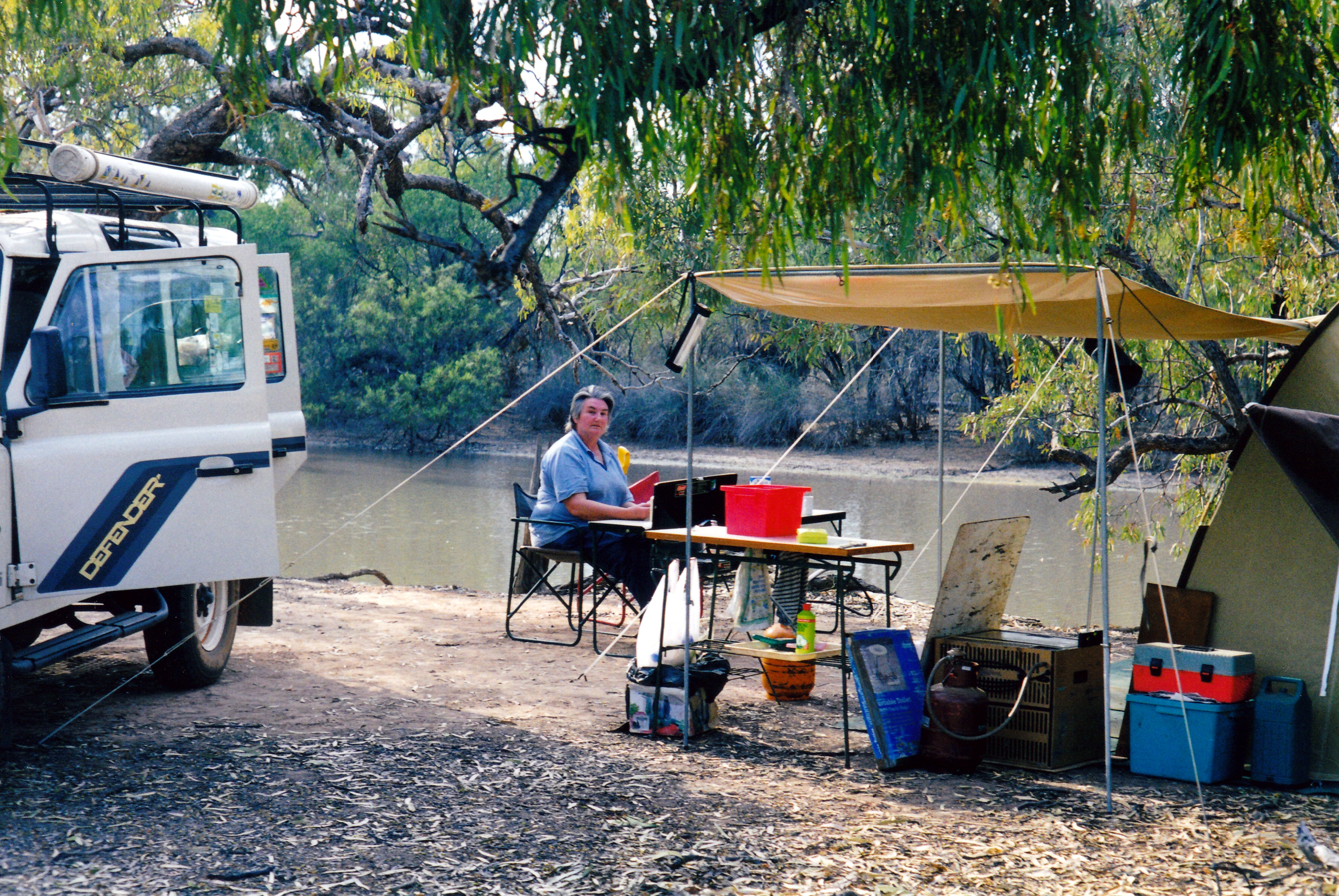
TUESDAY MAY 4     STREAKY BAY

My baby turned 36 today. I’d already posted a card to him, from here, on Sunday, but today sent him birthday wishes via text, as well. Didn’t think the mail service was that efficient.

Today’s sightseeing was the Westall Way Loop drive, ranging a bit further afield. This took us out the Sceale Bay road, then off on a side road, firstly to High Cliffs.

High Cliffs

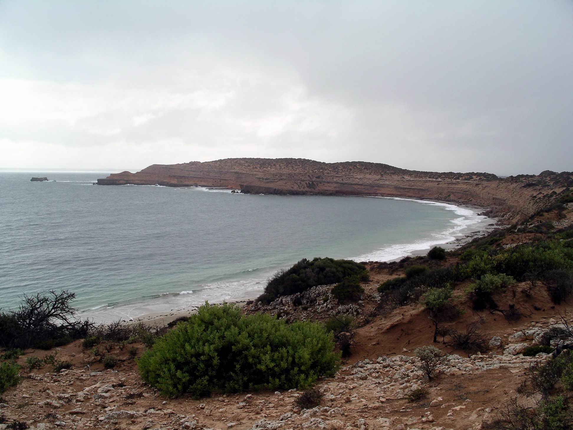
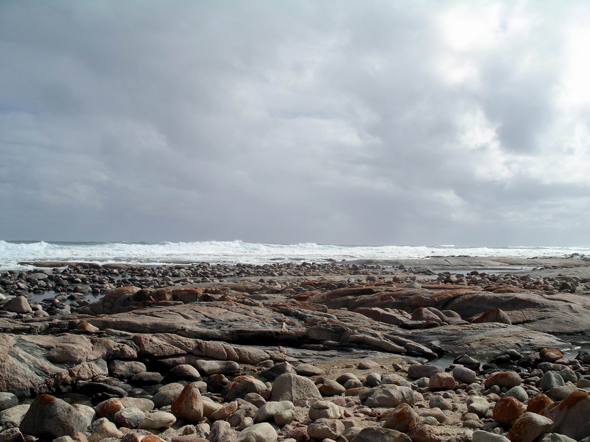
High Cliffs was a bit of a misnomer. Where the track took us to was a parking area above a moderate slope down to a beach some distance below. However, from the parking area there was a clear outlook to  high and steep cliffs to the north.

Rock shelf south of High Cliffs

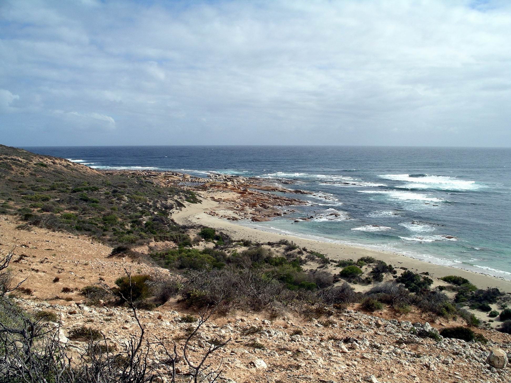
We clambered down a rough track from the top, to a small beach with some granite outcrops at their end, and explored amongst those for a while.

Very photogenic, they were.

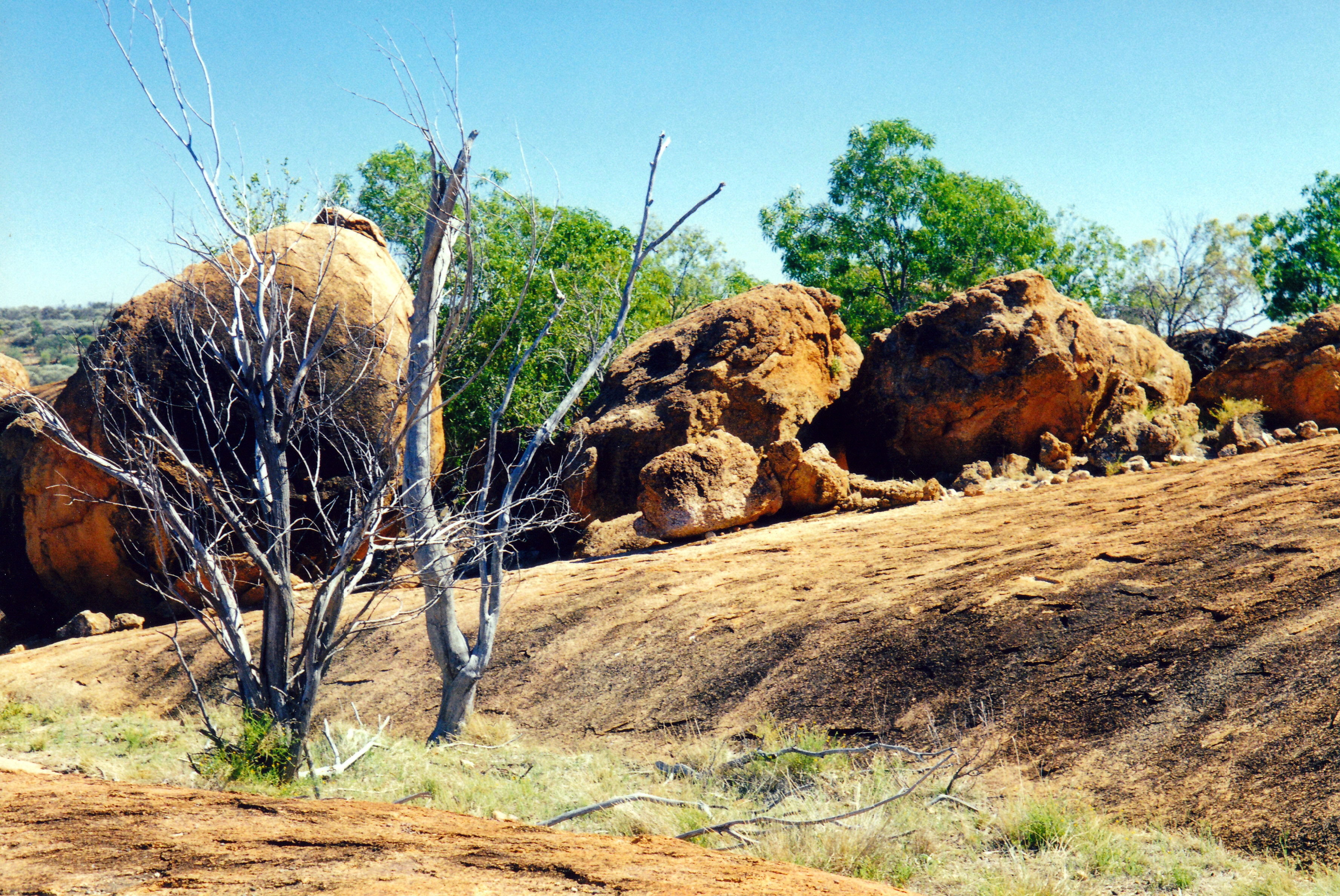
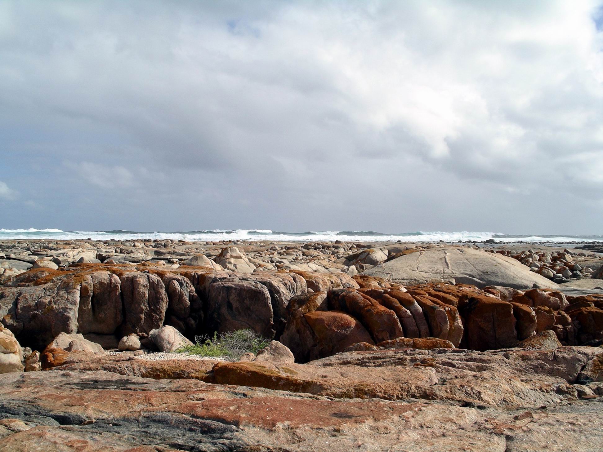
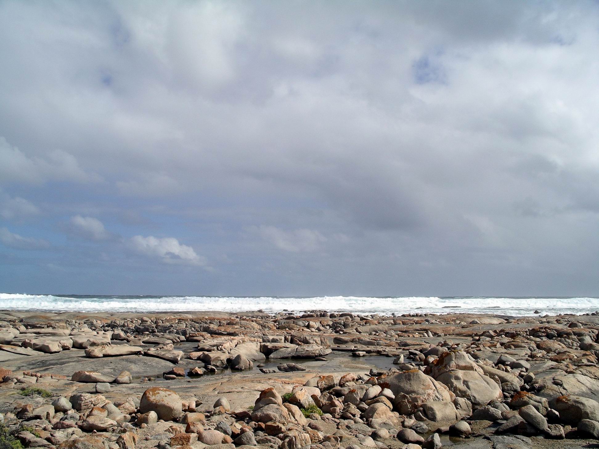
Scrambled back up the track to the vehicles, then drove on further – only a short distance further – to another lookout. Here, there was a built, stepped path, down to similar rock formations. We decided we’d just been exploring part of the Granites – from the other side – and had done it the hard way!

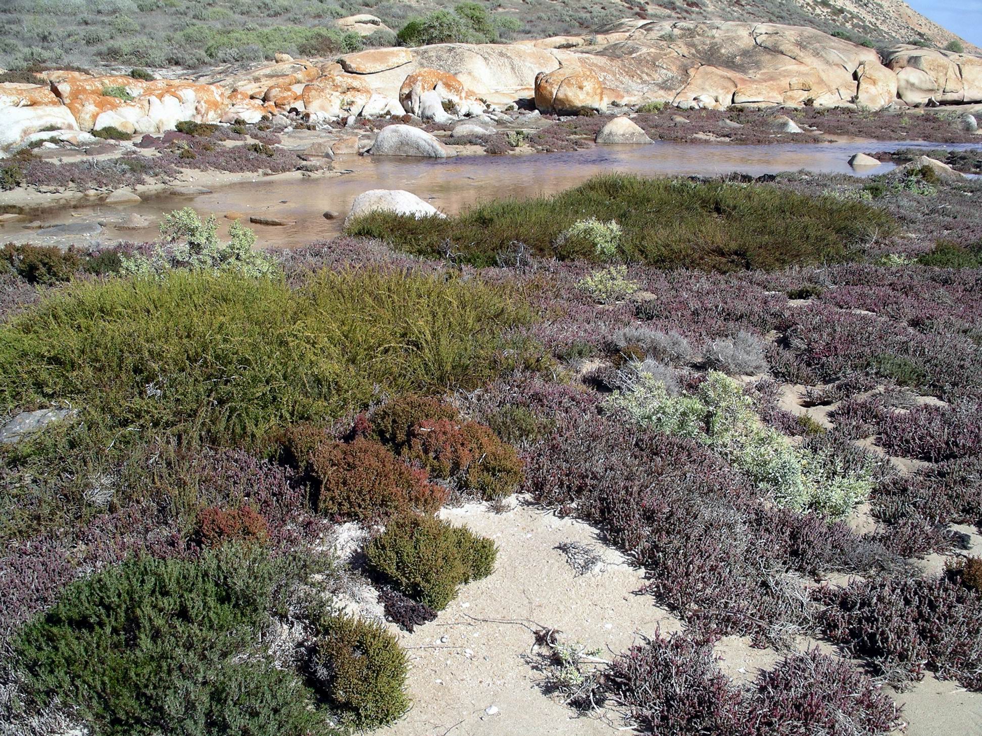
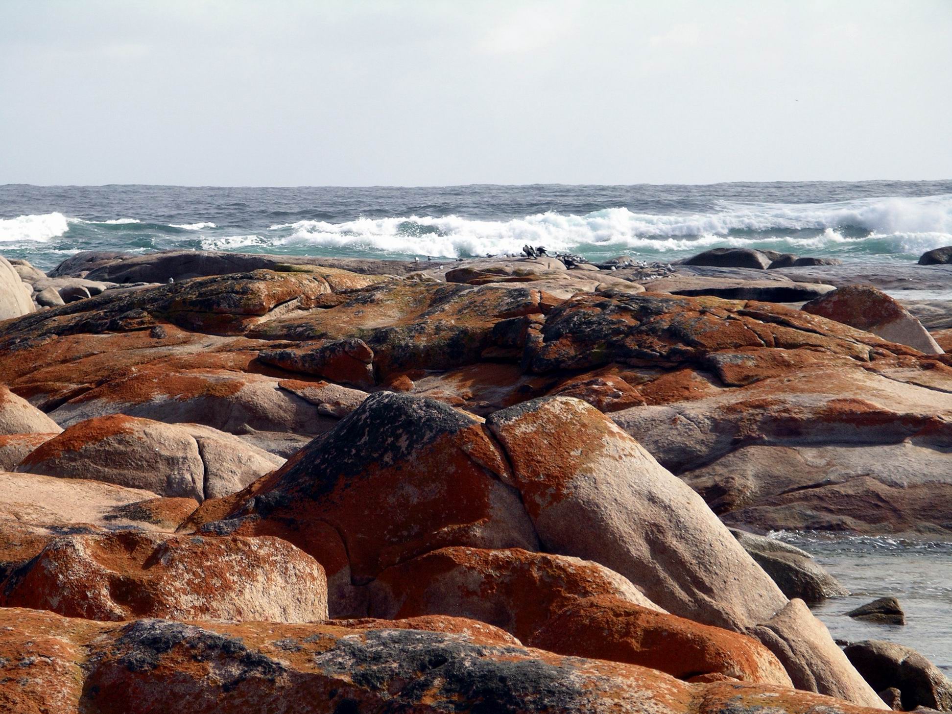
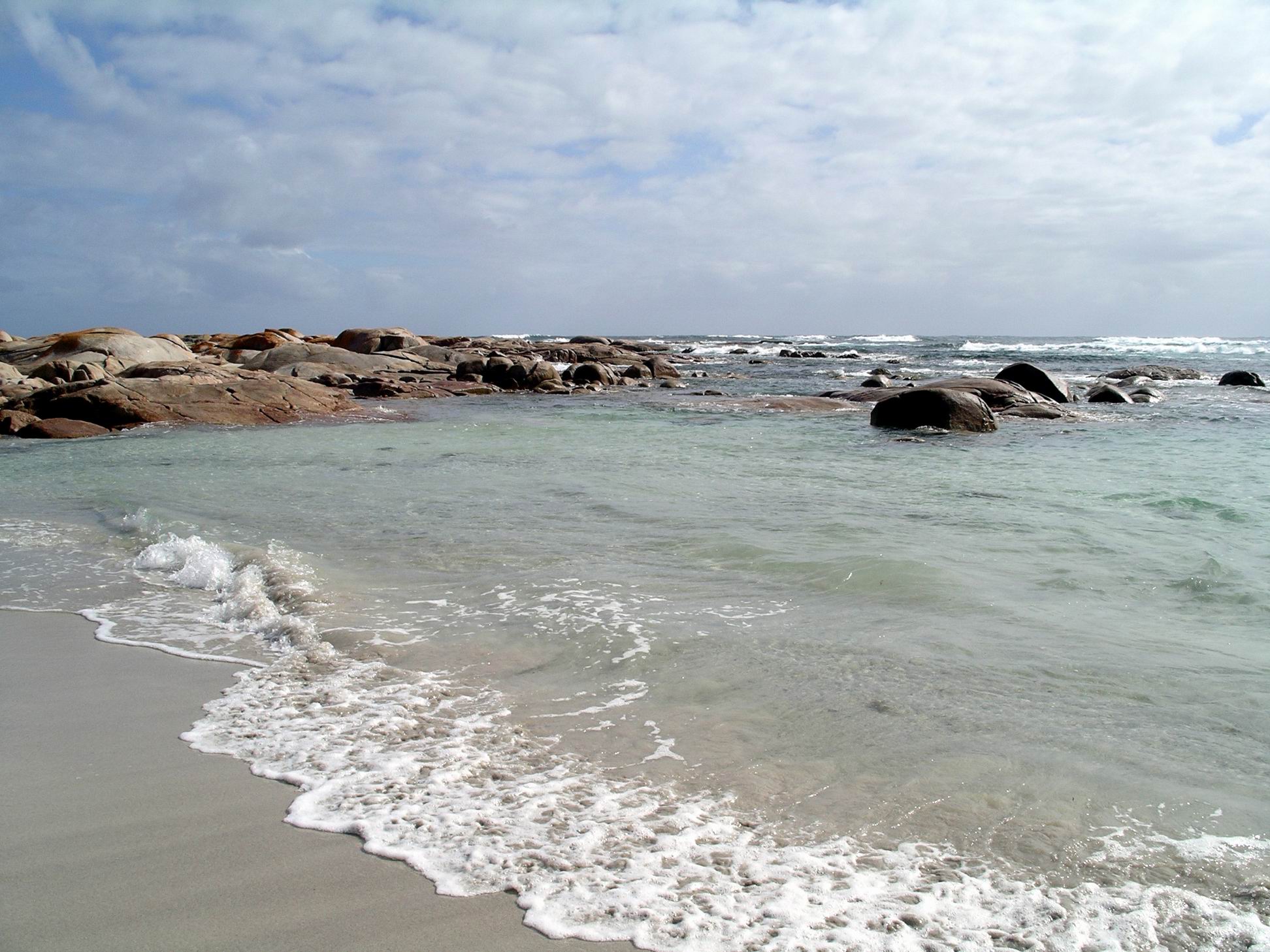
Did some more exploring there. There was something exciting about wandering around the rocky area while the waves crashed further out. I think the rather stormy skies actually added to the attractiveness of the whole area – certainly made it more dramatic looking.

We had come down the incline in the distance

Our next stop and wander was a bit further south again – Smooth Pool. It is as it sounds – an area in the granite rock shelves protected from wave entry, so just smooth water. I imagined that, in warmer weather, it would be a great place for children  to cool off, in a safe area.

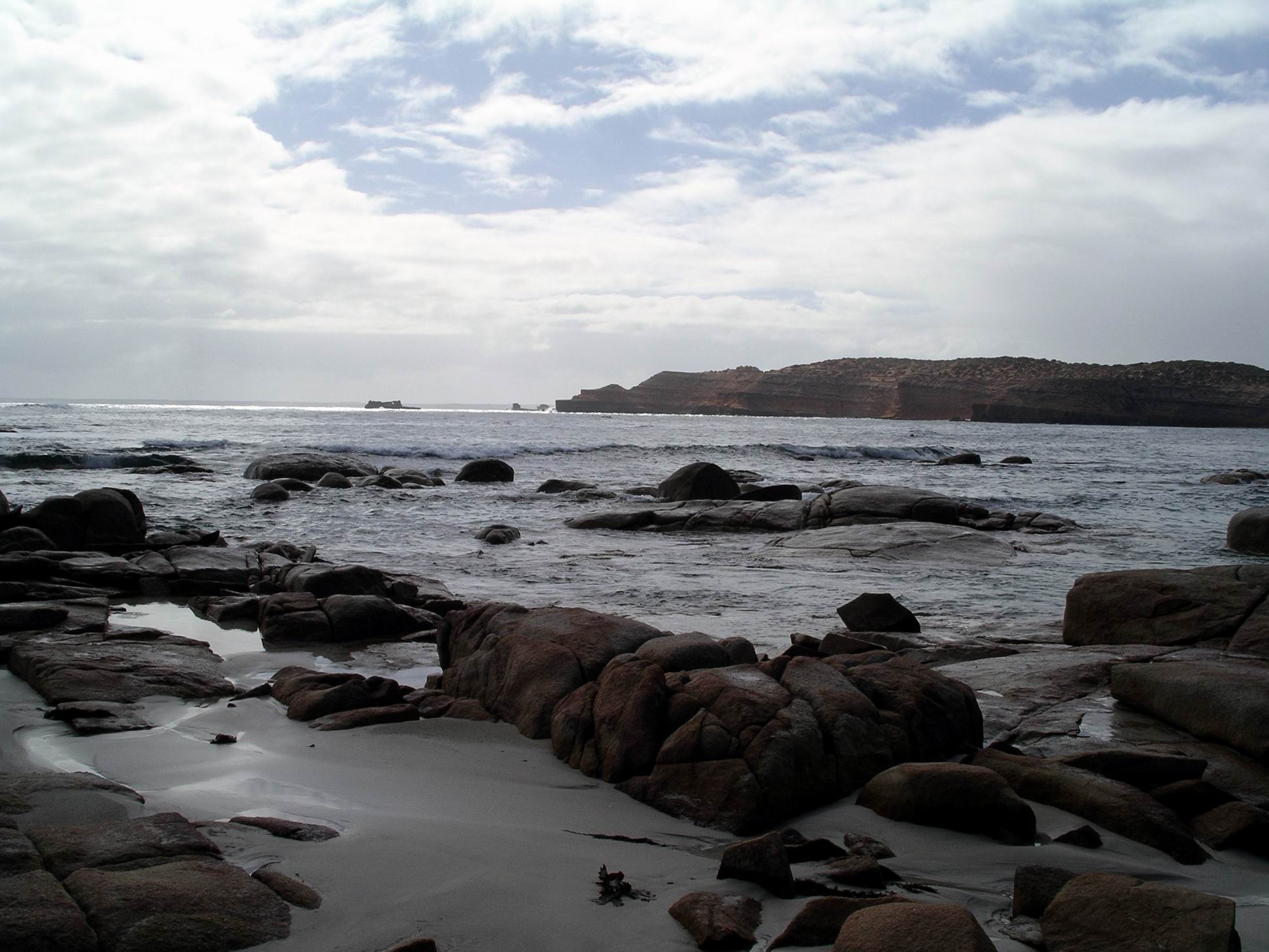
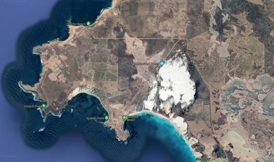
Continuing on around the Westall Loop Road took us to the turn off to Yanerbie, and we had to go have a look at that settlement. It was a small collection of beach houses and shacks. Frankly, we couldn’t work out why people would be bothered to be there! It was bleak, barren and with no services. A pleasant view over Sceale Bay to Cape Blanche was its only redeeming feature.

We parked and ate lunch by a weed covered “beach” near Yanerbie, and watched a seal – or a little sea lion? – swimming about. These lunches with marine life entertainment were great!

The Yanerbie Sand Hills that we drove by, on the way back to Streaky Bay, were something different in the otherwise flat and rather boring landscape. A section of the coastal sand dunes at the northern end of Sceale Bay had become destabilized, probably through vegetation disturbance or removal, and the dunes had begun to move inland. They were quite high, as in much taller than houses, shining white, and slowly encroaching on the surrounding farmland, such as it was.

Google view of the Yanerbie sand blow

Got back to camp mid afternoon.

Fish and fries again for tea tonight – the whiting was excellent.

The night was very chilly, and with drizzling rain. We lent M our small electric fan heater, to warm her sitting tent.


Leave a comment

2001 Travels September 25

TUESDAY 25 SEPTEMBER     CURRAWINYA NATIONAL PARK

It was during today that I realized about John’s birthday.

After a lazy morning in camp and lunch of roti breads cooked over the open fire, we drove back up to the Woolshed complex, to have a look at that.

09-24-2001 wendy by paroo.jpg

Enjoying the morning by the river

Currawinya was a sheep grazing property in its previous life, and the rather grand old woolshed is one remnant of this, as are some bores that still remain, and some sections of fencing.

The current National Park status came about because of the wetlands of the river, swamp sections, and the lakes – together important enough for it to have Ramsar listing. It is an important site for migratory birds.

09-26-2001 flood plain by Paroo.jpg

Powdery, fine silt flood plain by the Paroo

The old woolshed was really impressive. Made mostly of corrugated iron, it was surprisingly large. We were able to wander around inside and inspect the holding pens, shearing bays with their ramps to eject the shorn sheep outside; there were even old wool presses left in there. The building still smelt strongly of sheep. There were piles of old manure under the building. We hoped that this shed – relic of past times – would be preserved as part of the Park.

09-25-2001 currawinya shearing shed.jpg

Currawinya shearing shed – corrugated iron construction

09-25-2001 currawinya shearing shed interior.jpg

Inside the shearing shed – 6 shearing stands here, sheep pens and hatches for shorn sheep to be despatched down

09-25-2001 currawinya shearing shed yards

Sheep yards – more corrugated iron

09-25-2001 machinery currawinya shearing shed.jpg

Wool press

Apparently, this area is used for accommodation for groups of volunteer workers and the like. Showers had been constructed nearby, consisting of hessian “walls” on metal frames around the perimeter, with shower heads coming off a pipe in a row inside. As there were few interior dividing walls, I guessed it would be group showers! The water was cold, of course. I couldn’t tell if there was any water heating facility when they had a group staying.

After a good wander around the Woolshed area, we drove about 15kms out the old Thargomindah road, to the rock formations known as The Granites.

09-25-2001 at the Granites currawinya NP

The Granites

As the name suggests, these were substantial outcrops of rock. It seemed unusual to find such an outcropping in the midst of this sandy country.

09-25-2001 the granites currawinya.jpg

Then it was back to camp to watch the late afternoon reflections display on the water, while we drank beers and reflected on the day.

09-24-2001 paroo river by our currawinya camp.jpg

Late afternoon at the Paroo