This Adventurous Age

Adventures travelling and working around Australia.


2 Comments

2007 Travels June 20

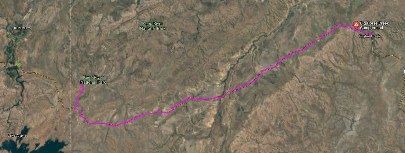
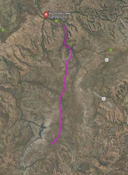
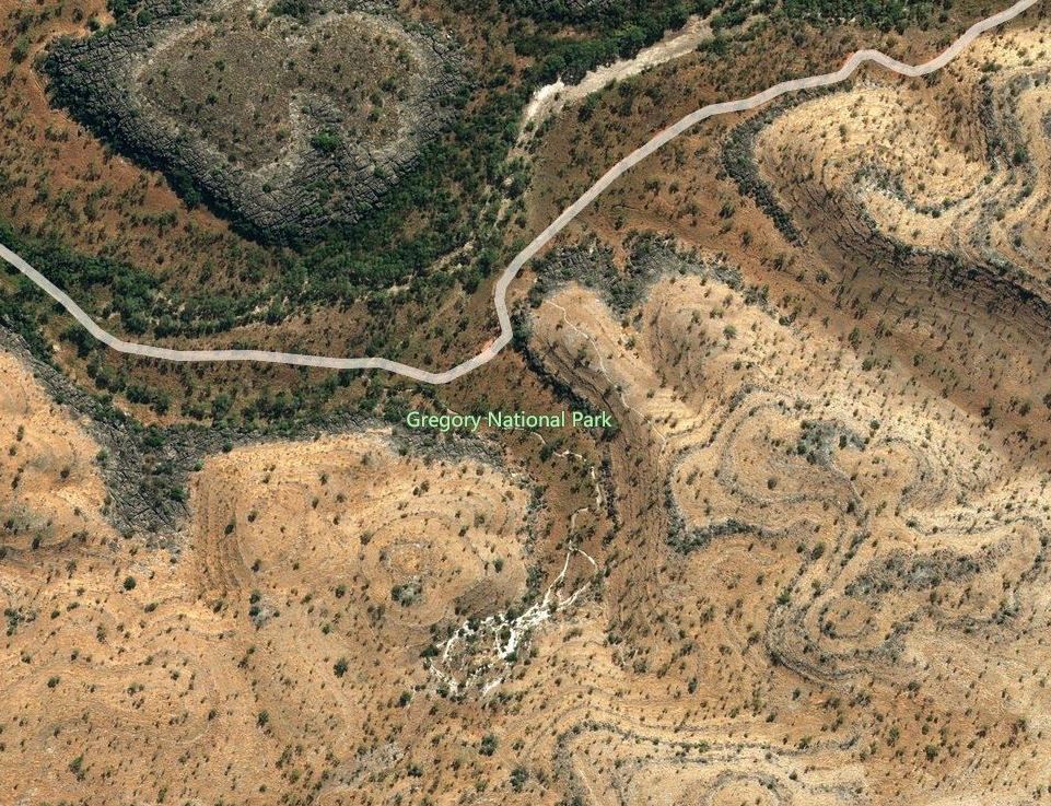
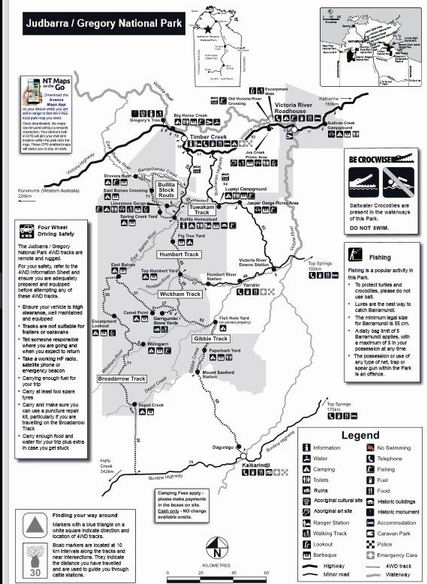
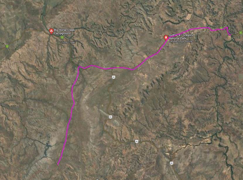
WEDNESDAY 20 JUNE   KEEP RIVER TO KUNUNURRA   70kms

We woke to continuing rain and a very damp camp. That meant we were not sure about our plans to leave here today.

That dish was empty when we went to bed last night!

Just after  breakfast, the Ranger arrived. He informed us that we’d had 60mm of rain. Whilst it didn’t sound like much, in those terms, was much more impressive when translated to two and a half inches! No wonder the camp was damp!

Damp camp….

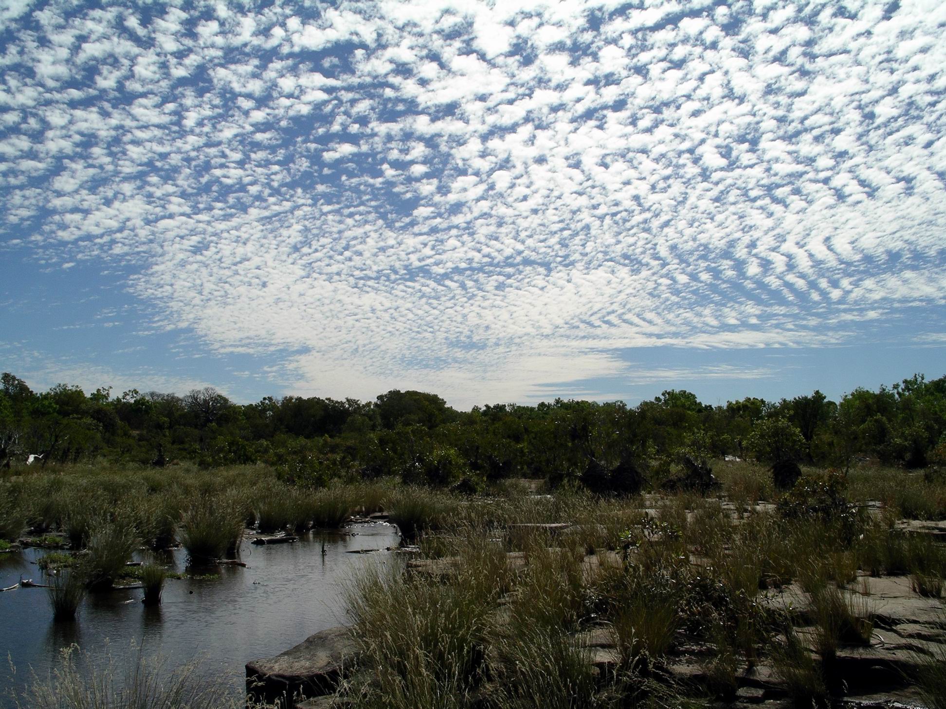
The rain event was widespread over the Kimberley, he said – an intense low pressure system that snuck in from up Indonesia way.

No joy in that sky

He declared all the Park roads closed, effective immediately. However, he said that he would escort anyone who wanted to leave, who had a proper 4WD outfit – vehicle and van – out of the Park. That was us, and only us. Everyone else had to stay here until the Park roads were opened again. I had a feeling that could be quite a while.

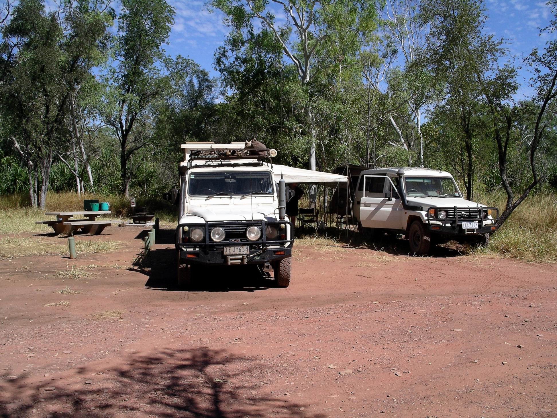
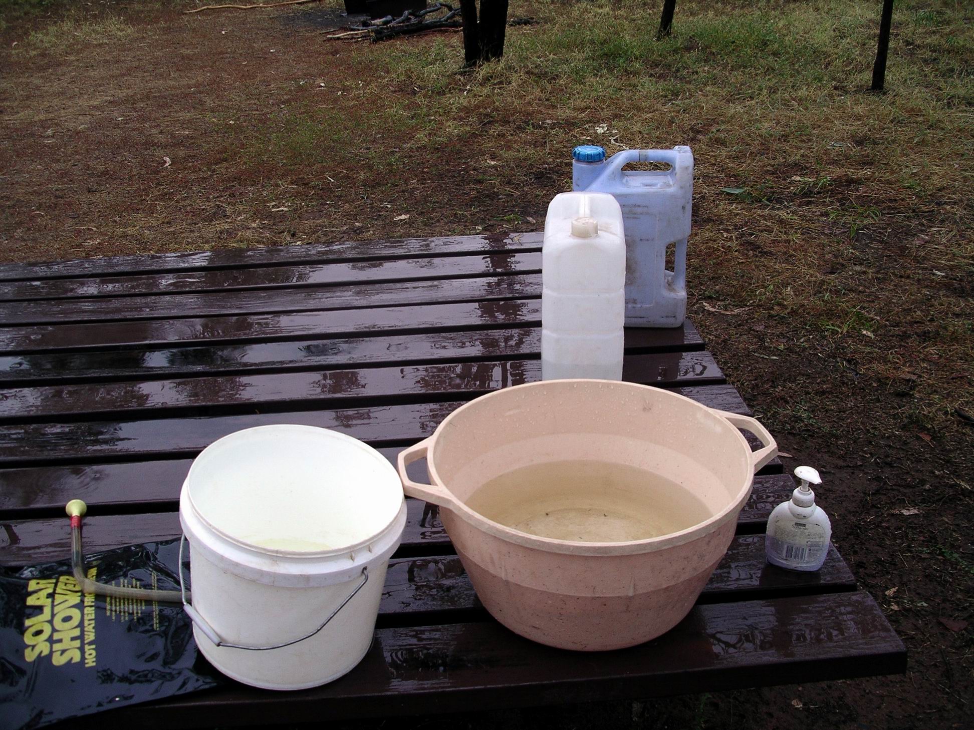
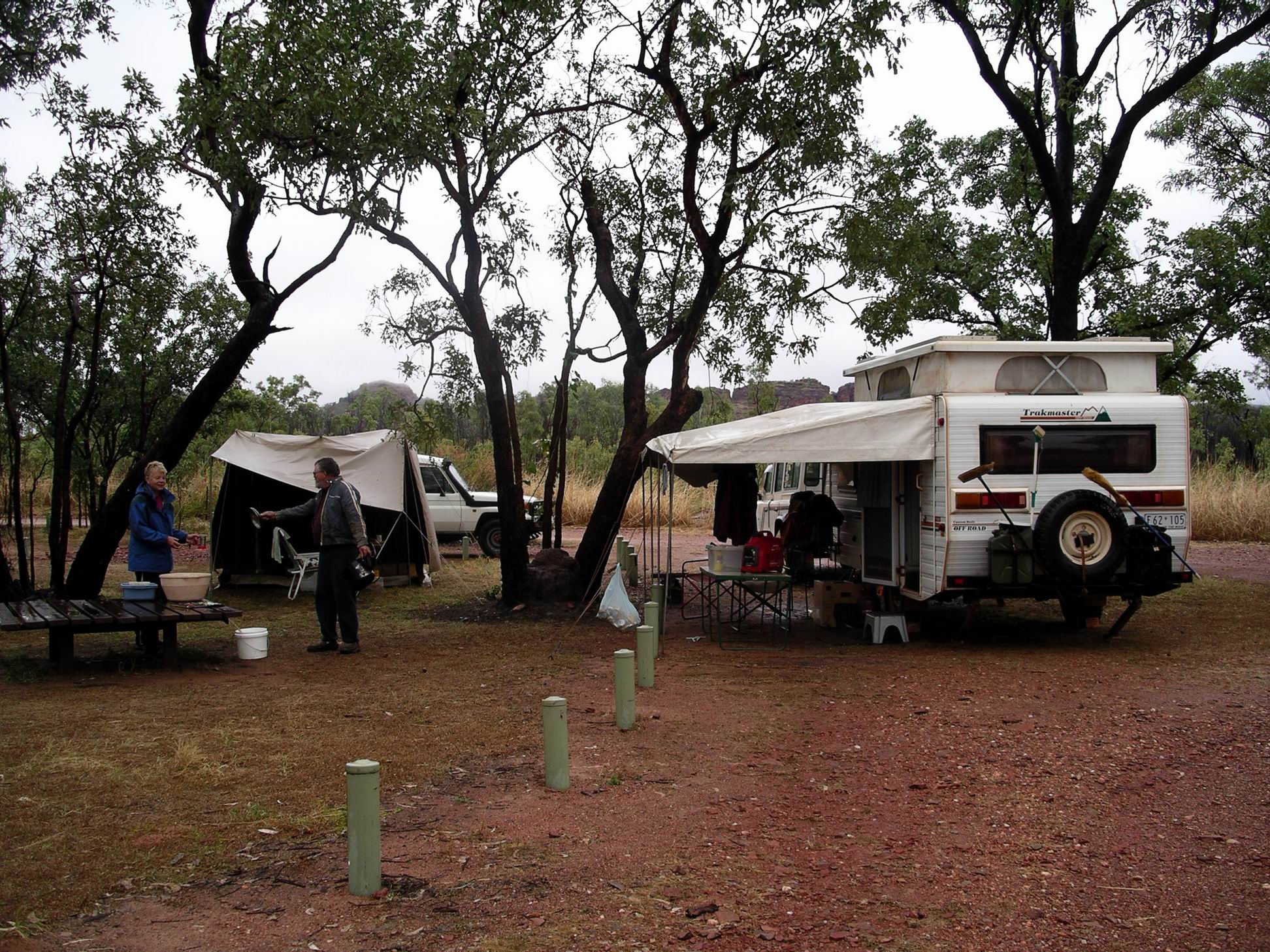
We had already begun the pack up, in case, so it did not take us long to be ready to go. Wet van awning was bundled up and laid on plastic on the van floor. M bundled up her living tent and it went onto roof rack.

The Ranger waited patiently for us.

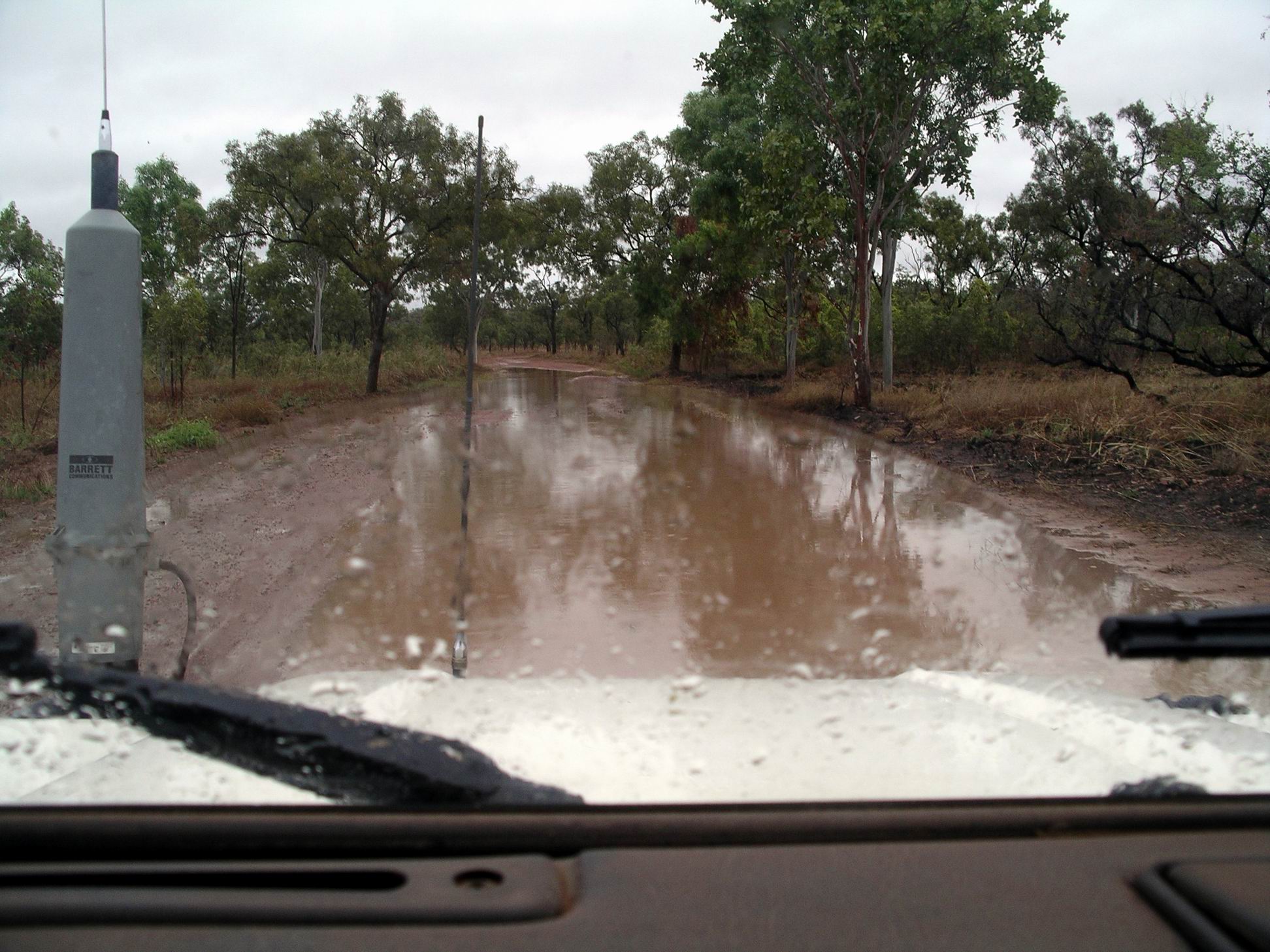
The track was slushy on top, but there was a good firm base underneath, so we did not slide around at all. That was very good, as sliding about with the van on the back could have been somewhat hairy!

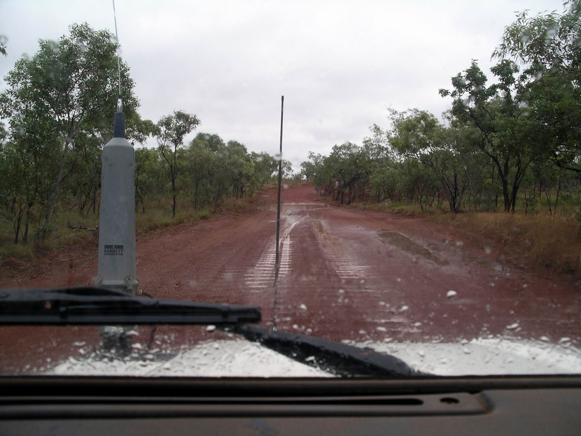
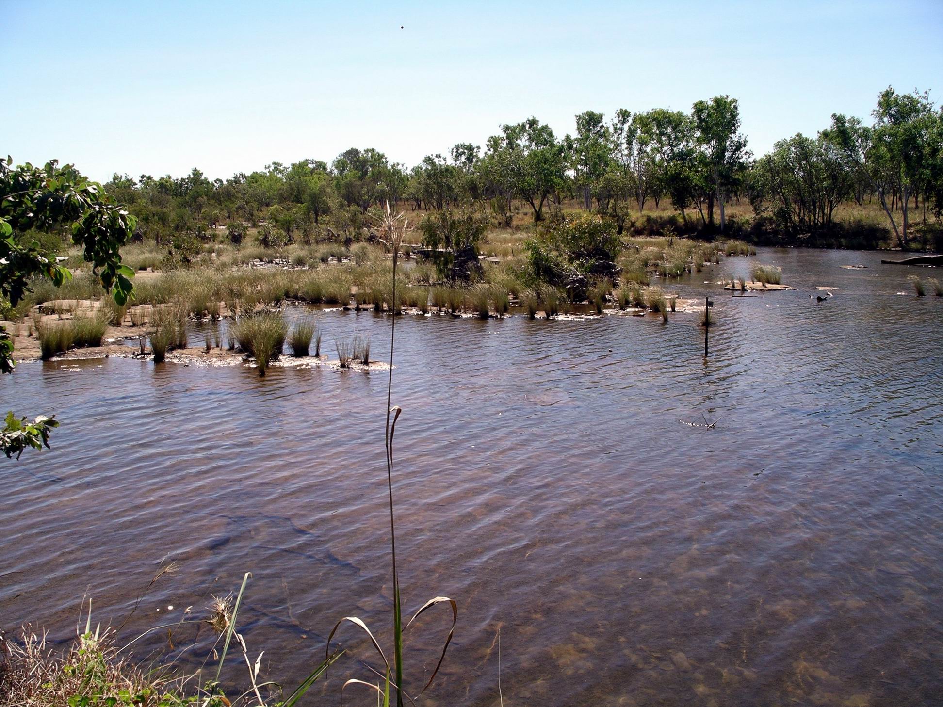
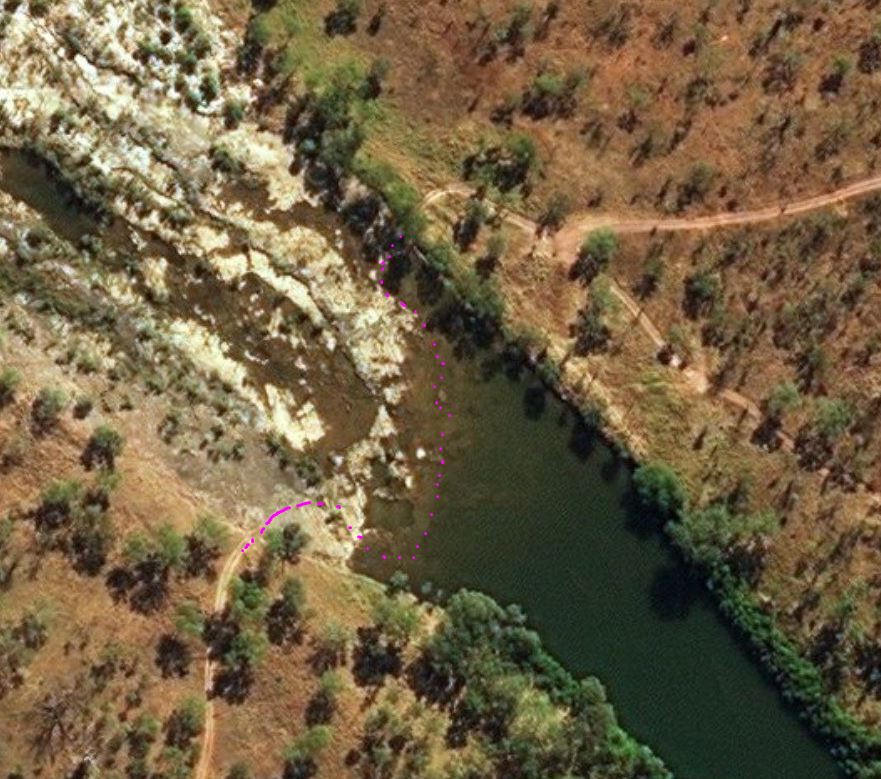
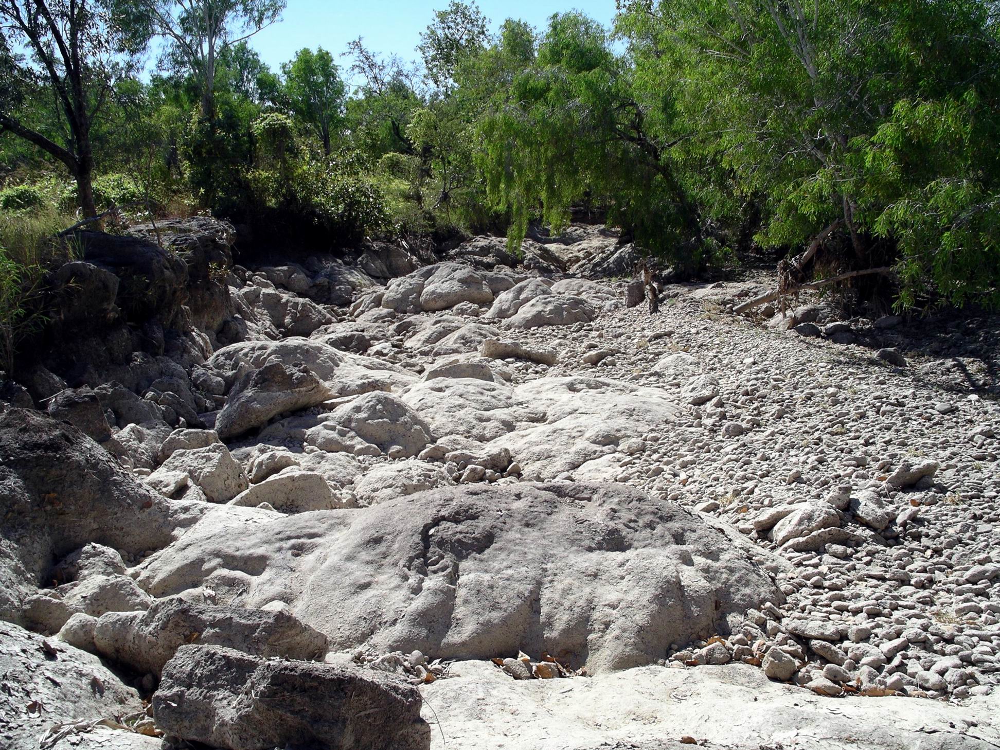
There were several places with water over the road, including a couple of causeways that were already flowing fairly fast.

Sheet of water across the road – there’s probably a creek channel in there somewhere….

We made it to the highway with no dramas and waved goodbye to our very helpful Ranger friend.

Causeway already flowing fast

As soon as I knew we were leaving the camp, I’d phoned Kununurra and booked us into the Kimberleyland Caravan Park. I made a snap decision to book for two weeks. My thinking was that, if all the dirt roads of the Kimberley region were affected by this, it could be at least a week, and probably more, before they were open again. Travellers would keep arriving on the sealed roads, so there would be a great rush when the roads re-opened. Two weeks could give us time to wait out that initial rush that would see everywhere crowded.

At least, we would know we had a place to be for that time!

The rain seemed to be easing somewhat by the time we got to Kununurra.

Now we were in WA – and there before we’d actually departed camp, thanks to changing time zones!

Our powered site at Kimberleyland cost $26 a night, with each seventh night free. We were close to the amenity block.

The park was generally well set up, but the sites did vary in quality. Our site was rather wet underfoot – especially after John had washed today’s accumulated mud off the rig!

M was given a smaller site, not far from us, that was partly also a walkway.

But we were happy to be in there at all. By early afternoon, people were being turned away, even from the informal unpowered camp area by the lake shore – itself rather soggy. There was no accommodation of any sort left in Kununurra, we heard.

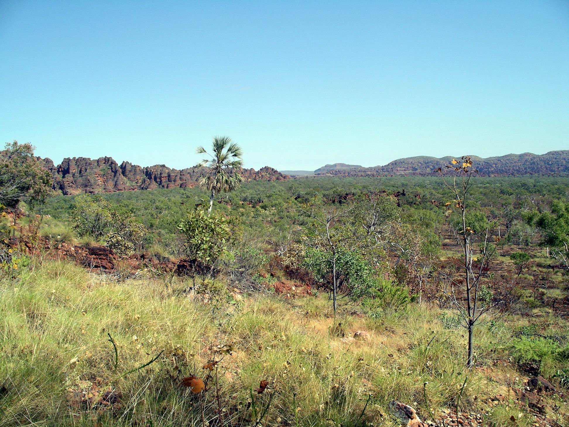
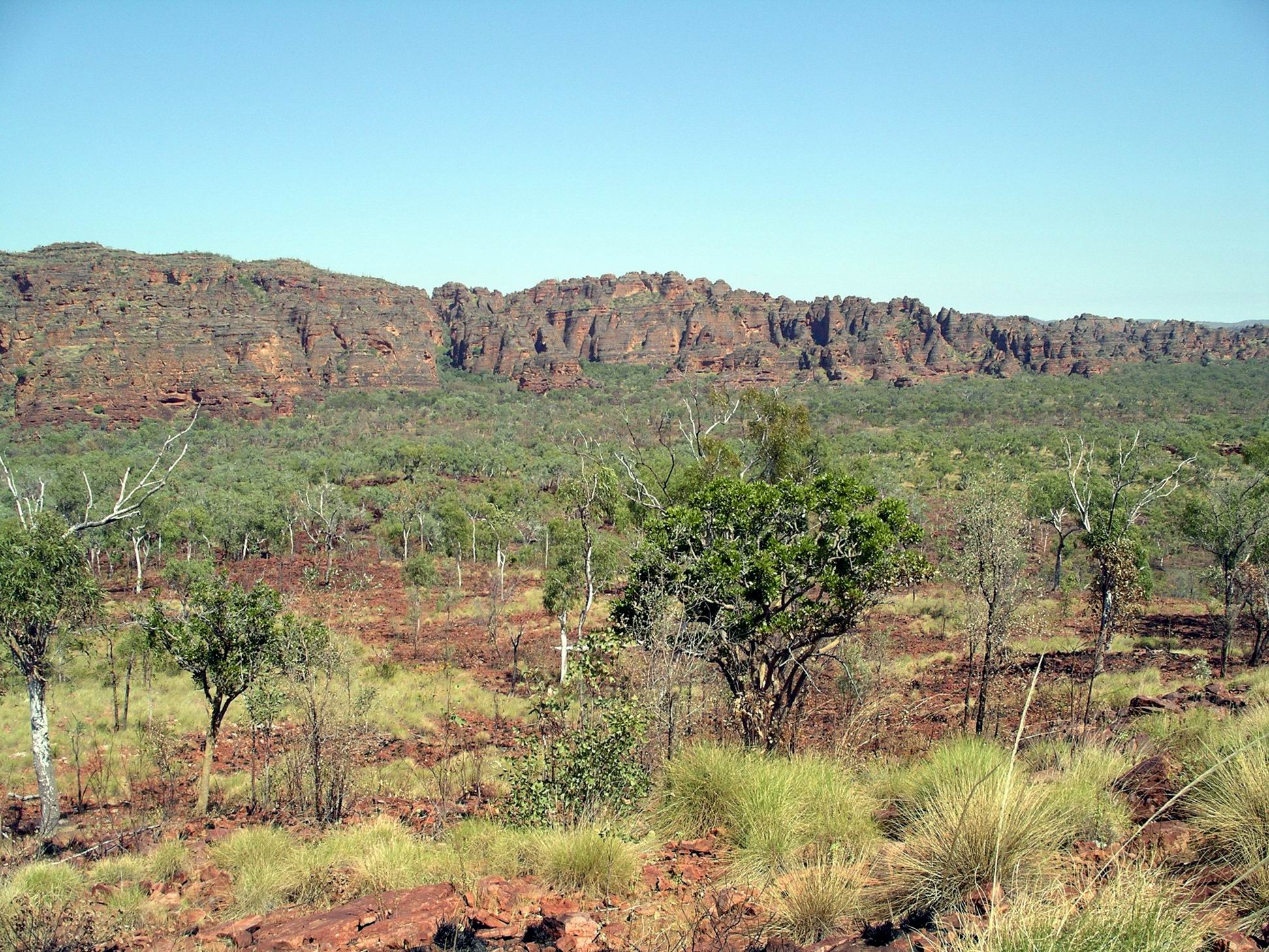
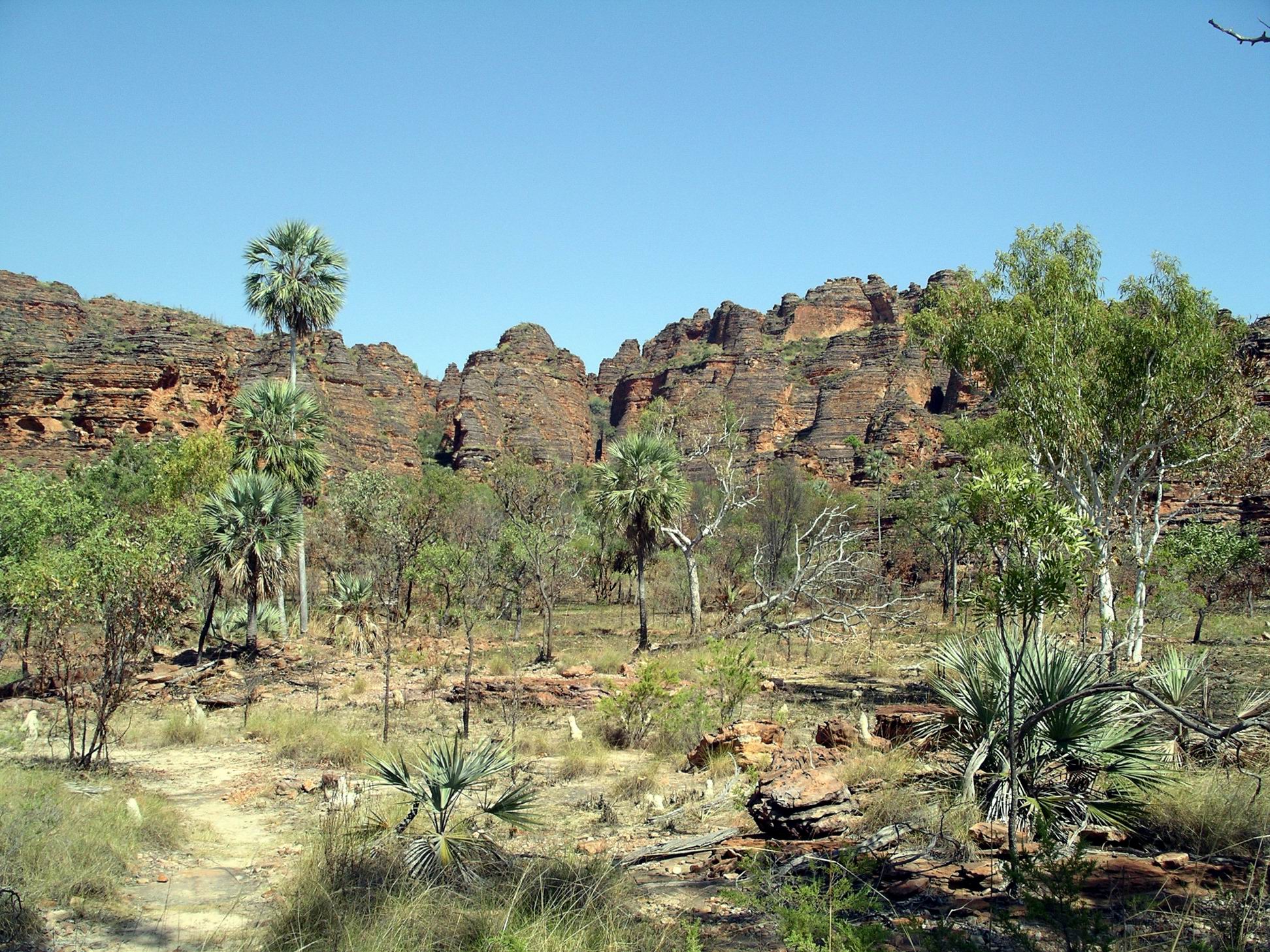
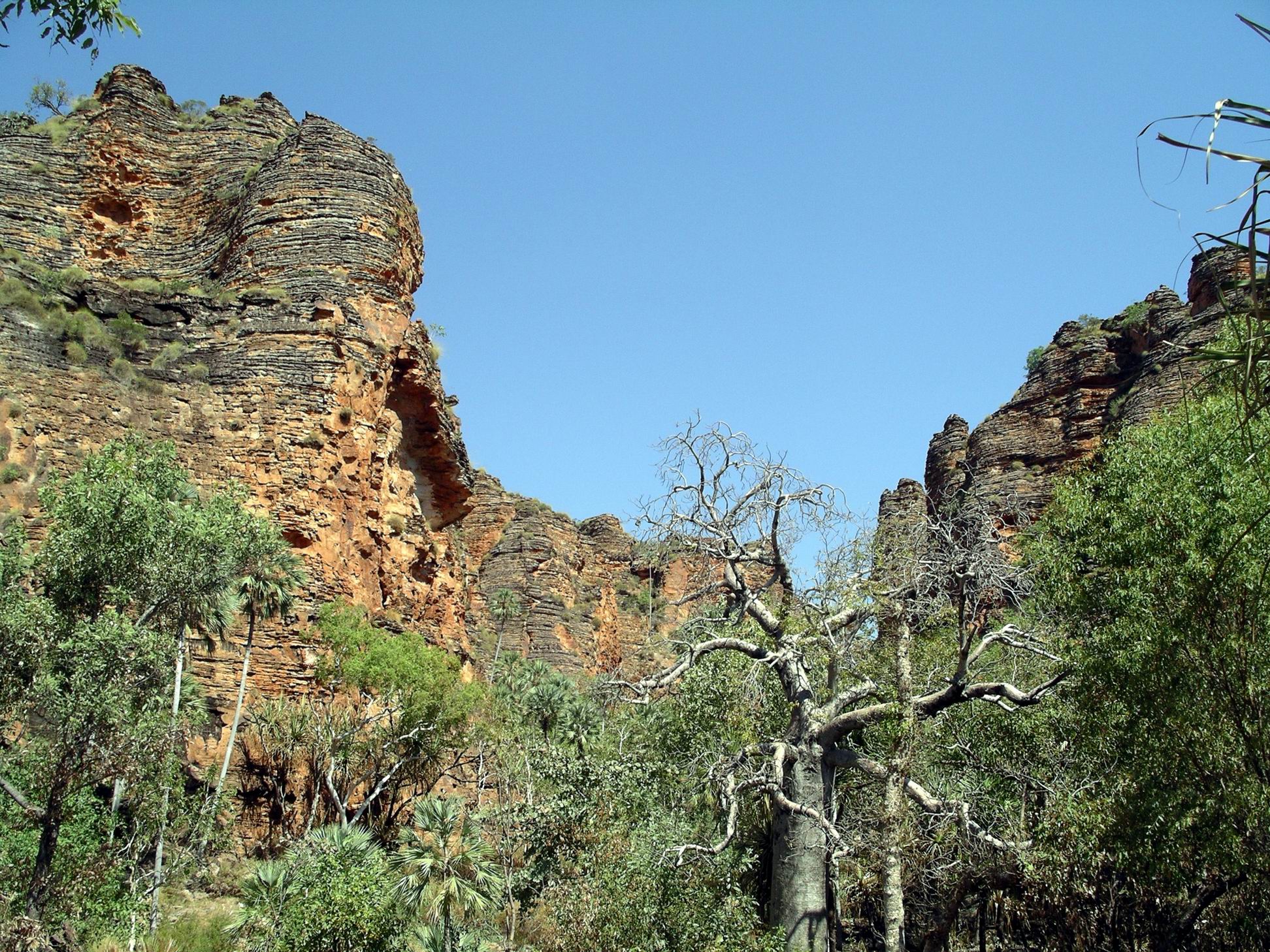
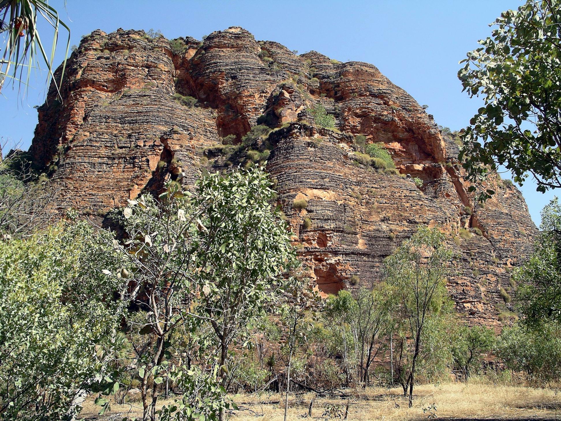
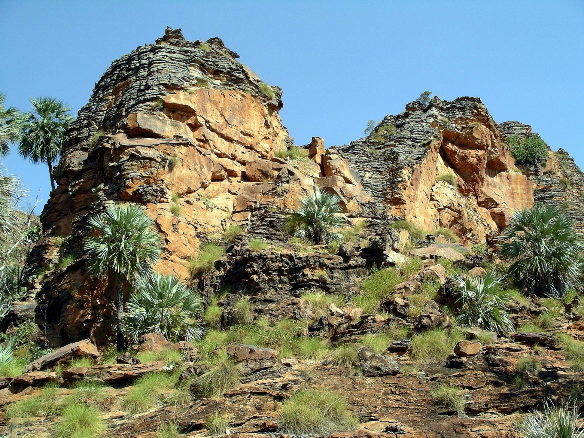
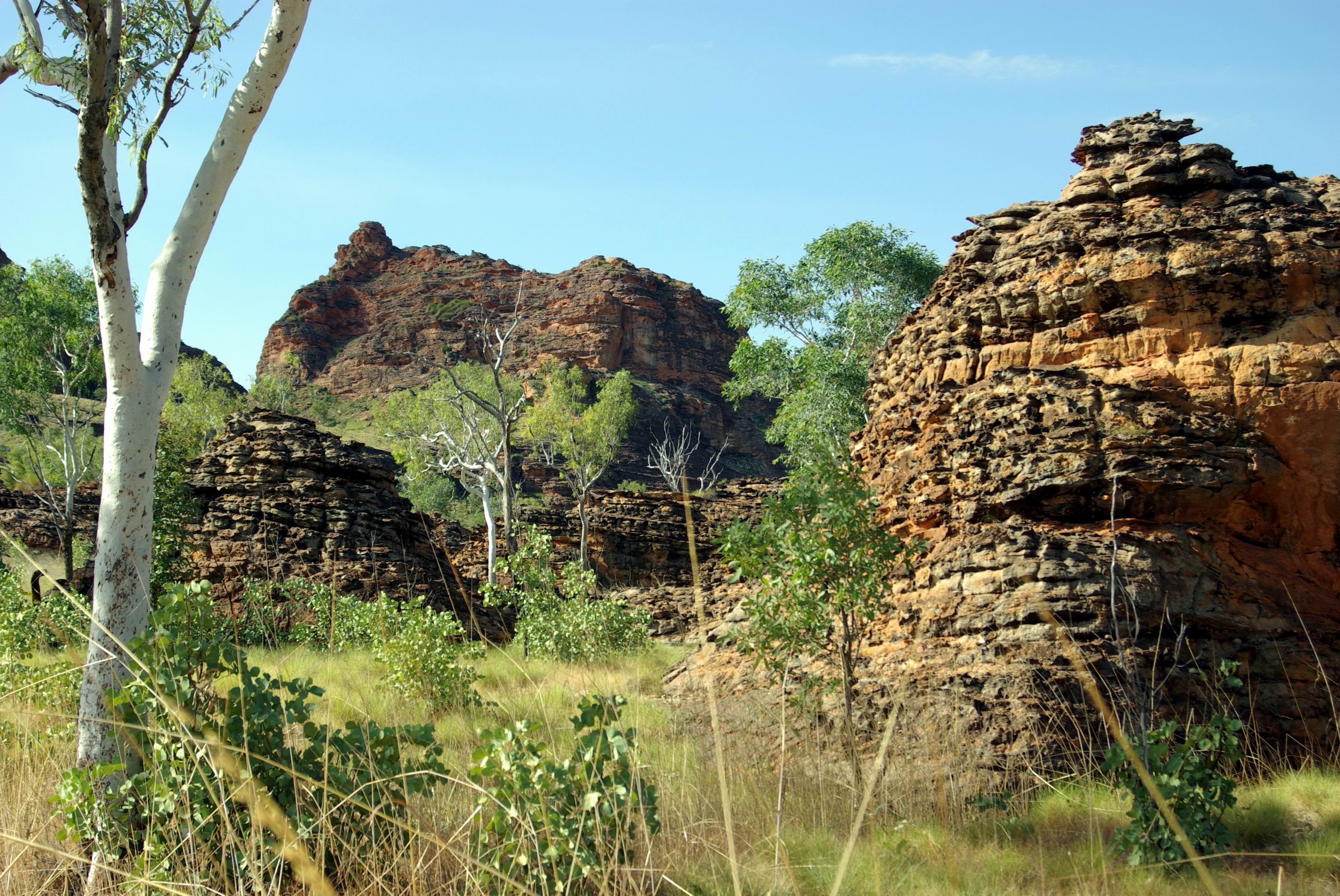
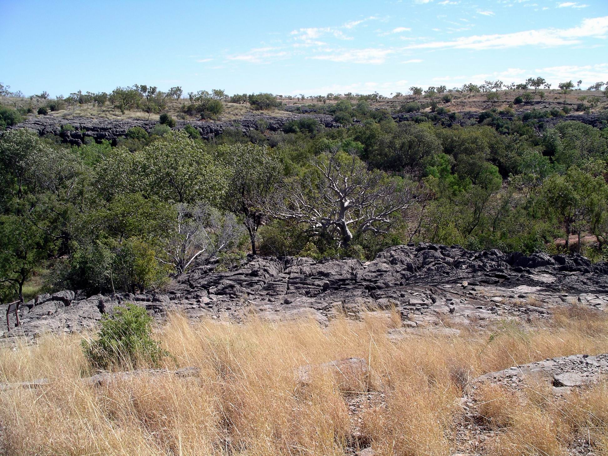
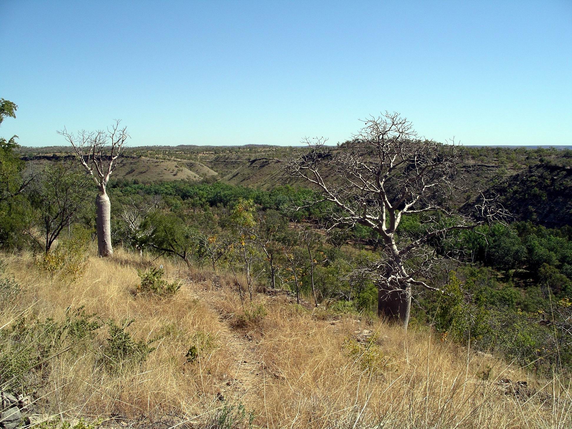
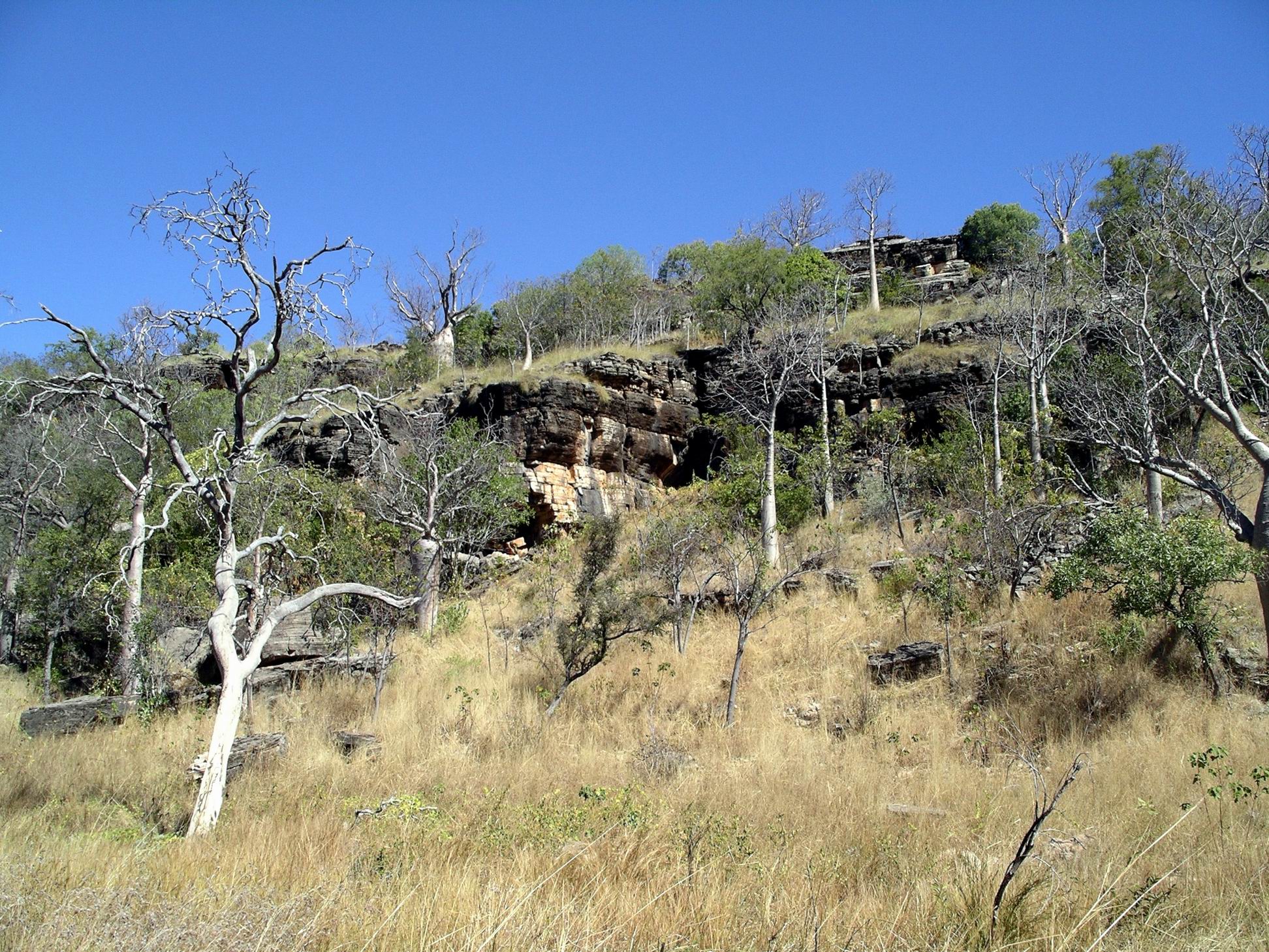
All dirt roads in the Kimberley were indeed closed, as was the Tanami Track south from Halls Creek into the NT. Groups of travellers were stranded in lots of places, including in the Bungles and up on the Mitchell Plateau, and all the camping places along the Gibb River Road.

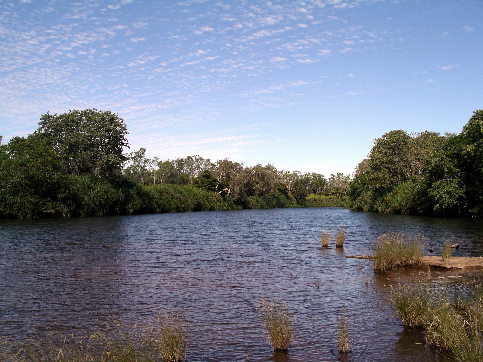
The caravan park had a frontage to Lily Creek Lagoon, an offshoot of Lake Kununurra. It would be really attractive in good weather. It was within walking distance of the town centre shops, initially through a pleasant park.

Setting up camp, manhandling large expanses of wet and dirty canvas, was not fun! We tackled our awning first, then gave M a hand with her living tent.

After set up and lunch – stomachs still on NT time – drove to the town centre.

Collected our bag of mail from the PO. Went to the Visitor Centre and gathered some information from the displays. Stayed away from the service counter, which was busy with people looking for somewhere to stay! Did some food shopping at the supermarket. I was able to buy a newspaper and catch up with the world again.

Drove out of town on the Ivanhoe Road, to the north, through the irrigated farmland, to where we knew there was a produce packing centre and associated market stall. Bought some fruit and vegies there. But there was not the range and variety we’d found on previous visits.

Back to caravan park lifestyle – tea, followed by TV, laptops and reading, and trying to sleep with background caravan park noises – so much more intrusive than those of the bush. Well, most bush night noises – the beach thick knee (curlew) call can be incredibly intrusive!


Leave a comment

2007 Travels June 19

TUESDAY 19 JUNE     KEEP RIVER NATIONAL PARK

Increased cloud in the sky may have made for a great sunset, but it did not make for a great day following.

Today was a grey day, but the batteries that we’d topped up yesterday with the genset, were holding OK.

Drove north again, to the car park for the Keep River Gorge walk.

This was a 3km return walk, up the little gorge and back. The walk was enjoyable, between the coloured, layered sandstone gorge walls, to an overhanging rock area that had been used as a shelter by aborigines, and where there was rock art.

The works were varied in subject matter. Some figures were in the Wandjina figure style – eyes and no mouths.

The gorge was not all that deep, and was fairly wide most of the way.

Again, there were some wonderful old boabs to marvel at.

There were actually several different shelter areas along the gorge – an indication that a number of family groups used the area, and that it was rich in food.

Then it was back to the main road through the Park and further north for a short way, to a major art site, located in one of the rock outcrop areas that are scattered all over the Park.

A cave-like rock structure

The art here was brilliant.

Particularly striking was a depiction of the Rainbow Serpent – Garrimalam.

There had been the occasional drizzly showers through the morning.  But the rain, heralded by today’s grey skies, started in earnest in the afternoon. We were somewhat surprised by this change in the weather. We didn’t have any means of checking the weather forecast, apart from firing up the HF radio – and we didn’t even think of doing that.

When the rock formations close to camp were wet, the colours changed. The grey sections became darker and the oranges more intense. These two photos were taken in the area around the rock shelter featured above.

The Ranger still came and did his talk, which was really interesting and worth staying for. The conditions were not great though – standing around in our waterproof coats, in  rain, listening! We hadn’t wanted to take our camp chairs over to the talk, because they would have been soaked.

We learned that Keep River is a boundary,  in these parts, between arid and tropical ecosystems, and is thus ecologically very significant. I think the talk was shortened from the normal, because of the rain!

Through the night, the rain became steady and heavy. This did not seem like some little aberration in the normal weather pattern…..


Leave a comment

2007 Travels June 18

MONDAY 18 JUNE     KEEP RIVER NATIONAL PARK

I didn’t sleep well, last night – the other bed occupant was “breathing heavily”!

I was, therefore, up and about early, but John slept for much of the morning.

During the night, noticed that the battery level light on the controller system had turned from green to orange. Not a good sign. So John got the generator going for a while in the morning.

M went off from the campground to walk and explore. John was tired after yesterday and wanted a mostly camp based day. He hooked his laptop to the inverter, whilst the genset was going, and had a “fix” of his computer game, until into the afternoon.

Zoom image – the campground circle and rock formations around camp

After a late lunch we all drove to the Gingers Hill walk, back near the Ranger Station. This was only a short walk, up a hill.

Gingers Hill outlook

At the top there was a structure that the aboriginals used for catching kites – the “fire birds”.

A man would hide in the shelter, light a little fire to attract the kite to come in, looking for prey that was trying to escape the fire. He would wave a feathered lure from a hole in the top of the shelter. When a kite swooped in on the “distressed” prey, it would be grabbed. Roast kite for dinner!

Drove on to Cockatoo Lagoon, by the Ranger Station. We hoped to see a whole lot of different birds here, but they were not as prolific as expected. We had a survey with the binoculars for a little while, but did not see anything riveting.

Turkey Bush – widespread at Keep River

Back at camp, M and I had a hair washing session, using her new solar shower bag, which we’d left out in the sun, to warm the water inside. We took it in turns to hold up the bag so the other could rinse. It worked well.

I made a batch of carrot soup, to use up those we had, in preparation for crossing into WA, soon.

Some new campers came in during the afternoon. The result was two lots of very noisy and hyper kids running amok around the campground until 9pm. They were very intrusive as they ran all round where we were trying to sit peacefully around our campfire.

This completed our original three nights here, but we had decided to stay on another night, because a Ranger was giving a talk tomorrow night, about the Park, that we thought would be worthwhile hearing.

Once again, the sunset was brilliant, due to increased clouds in the sky.

Red sky at night – should have taken notice…..


Leave a comment

2007 Travels June 17

SUNDAY 17 JUNE     KEEP RIVER NATIONAL PARK

We were a bit slow to get going today – John slept in!

Today, wanted to give M a good exposure to the best of this Park.

We drove to the other campground, Jarnem, another 14kms to the north. The track was in pretty good condition. It passed through occasional low sandstone outcrops, with bigger ranges sometimes visible beyond. The vegetation was a mix of spinifex, shrubs and low trees – there were not as many boabs in evidence here as there had been at Bullita. Some of the trees – eucalypts of some sorts, I thought, were in flower, with clumps of big lemony yellow flowers.

The Jarnem campground is not as scenic as where we were – but it was also not as busy.

There were large flocks of red tailed black cockatoos feeding on the ground around the camping area, which seemed to have been burnt, maybe a month or two ago.

The goal was to complete the full Jarnem/Nigli Gap circuit walk. The distance of this was confusing – Park info gave one distance, the sign boards at Jarnem gave two different distances. It was somewhere between 6.8 and 8kms!

The walk circuit

The track out of the campground initially crossed flat black soil plains, and there were plenty of the black cockatoos there.

Red tailed black cockatoo

We skirted the front of a range, then the track took us fairly steeply up a narrow valley in the rocks.

Steeply uphill. Keep River valley in background

Signposts have more than the obvious value……

From the lookout at the top of this climb we could see both back across the Keep River Valley, and into the rather pound like area where we were headed.

The Bungles-like striped sandstone dome structures were obvious, across the flat central area.

Over there is where we are headed….

But first we had to go down to that flat, picking our way carefully down the rocky path.

The central area was not as flat as it had appeared. There were rock outcrops of various sizes and configurations, and often with a stacked appearance. Clearly, there had been some selective burning -both to reduce “hot” bushfires later in the season, and to make the area more passable for us!

The vegetation was really varied, too, from the spinifex  grasses, through eucalypts and other trees,  turkey bush, and even palms and boabs.

The variety of rock type and shapes and what was growing made for a really interesting walk.

Eroded sandstone

A rock stack also made a convenient place for lunch.

A shady place to sit for lunch

We spotted a pair of plump, white quilled rock doves sitting on a ledge, keeping very still. These birds are confined to the north-west of the country, so we were pleased to have spotted them. But they were too far away to photograph successfully.

The path approached close to the dome structures, so we could appreciate their intricacy. To me, they were identical to the structures found in the Bungles.

The way back was through the Nigli Gap – more gradual going.  Because of the late start, we’d ended up walking in the hottest part of the day. I’d definitely had enough by the time we finished.

The circuit walk we’d done was basically the only walk to be done from this campground. Last time we were here, there was another walk, to a section of the Keep River, to the north. We did it, but it was a bit of an anti-climax, walking across the floodplain but not really being able to get close to the river because of thick vegetation. Looked like National Parks had now taken it off the walks menu.

Drove straight back to the campground, and lazed around for the remainder of the day.

We had a cooking fire in the nearest fire place, then sat around it after tea, chatting and admiring the night skies some more. Had a bit of an ongoing “spot the satellite” competition going , on these nights.


Leave a comment

2007 Travels June 16

SATURDAY 16 JUNE   TIMBER CREEK TO KEEP RIVER NAT PARK   200kms

The tour group was on their way fairly early. I snuck over there and used their amenities for my morning ablutions, before they got locked up again. These were in much better order, and cleaner – as I’d thought.

We were not particularly slow getting going, but many others in the campground were away before us. Escaping the grunge.

This was not a park – or even a place – I’d recommend for travellers.

Our approximate 200kms drive west, on the Victoria Highway, was an interesting one, as the terrain became more rugged. The road crossed the East Baines River, then the multiple channels of the West Baines River. Noted the turn off to Bulloo River Station, once the home of author Sarah Henderson.

Almost to the WA border, turned north off the highway, onto an unsealed road into the Keep River National Park. This lesser known Park is, in our opinion, a real gem. Most travellers tend to be focussed on getting to – or leaving – Kununurra, with often a long drive ahead of or behind them. They sail on by the unprepossessing dirt road that leads into this Park. Some, of course, are put off by the 18kms of gravel road that leads to the first of the two campgrounds. Usually, this road is in quite good condition and – in fine weather – would hold no issues for a two wheel drive vehicle and conventional caravan – although the latter would have to be off grid capable.

Our destination was the first campground, which we consider the more immediately scenic of the two – Goorrandalng Campground. The way to this took us past Cockatoo Lagoon and the Ranger’s place. We did not stop, having not found the lagoon all that special, previously. Also passed a water point, where potable water could be obtained.

We arrived before lunchtime and, at that stage, there were only two other lots of campers in here, so we had a fair choice of sites.

The camp area was a loop road around a bollarded off central area of low rock outcrops. Places to pull in with campers or vans were spaced along beside the inner part of the road loop. Tent campers could use the central “fenced off” part.  At convenient spots in this central area, were fireplaces and low table platforms. There were pit toilets down close to the entrance.

It was a very scenic and pleasant place to stay. Beyond the campground, to the west, were higher rock outcrops – very dramatic ones.

We set up at the far end of the campground, where we had a great outlook across to the rocks beyond. We had a bay where we could pull in and face the van inwards, M had an adjacent bay where she could put up her living tent on the area between the two bays. A most suitable spot for us!

Tailor made for us

Settled in. Walked up to the check in point and completed our registration envelope and put in our $6.60 a night fee – for the next three nights.

Rock outcrop in central area of campground

There appeared to be a number of day trippers in the campground area, presumably from Kununurra, it being a weekend. Them being parked in a number of the camp bays made it harder for the would-be campers who arrived later in the day. By dusk, most of the day trippers had gone and most camp spots were occupied. It was certainly busier than when we had been here last.

In the later afternoon, we walked the 2km circuit from the campground, through the rock formations nearby.

There are like a mini-Bungles, in the shapes and colouring of some of the formations, and geologically similar – striped sandstone.

There were spectacular, photogenic shapes.

It was a great little walk, except for there still being too many day trippers around. M was impressed.

Sunset, with an uninterrupted outlook to the west, was dramatic.

Camp chores

We had a campfire again! And stars at night. All was well with the world again…..


Leave a comment

2007 Travels June 15

FRIDAY 15 JUNE   BULLITA TO TIMBER CREEK   60kms

 Today’s was a really short stage.

We wanted to do the boat trip on the Victoria River, which went about 40kms down the river, from Timber Creek.

So, booked into the Gunumu Caravan Park at Timber Creek, thinking we would be able to have a bit of a clean up,  before another National Park stay, as well as do the late afternoon cruise. Our powered site cost $18.50. This caravan park was a large one, behind a roadhouse. On paper it seemed the better of the two options available, with a greater range of facilities.

The park was nicely shaded and quite attractive, although somewhat dusty as sites have become a bit bare in parts. Unfortunately, the park amenities were dreadfully dirty and looking run down, with broken tiles. They were also accessible to the general public i.e. local indigines, who hung around the roadhouse and licensed facility. This did nothing for their general cleanliness. As the day wore on, so did the collection of used nappies strewn around the place.

There was a second amenities block, but when I went to look at this, found it was locked, because it was for the use of bus tour groups only. That said it all, I thought, about what happened in the ones that were for general use!

When we went to the office to book the boat trip for this afternoon, found that it was all booked out, due to some large bus tour group coming in. Damn!

Had the park amenities not been so filthy, we would have considered staying an extra night and doing the boat trip the next day. As it was, decided we’d spend our money on a boat trip on the Ord River, in Kununurra,  instead.

The park was fairly well patronized by campers. I wondered how many of them had been caught out by the boat trip scenario, like us.

Timber Creek camp – our basic overnight set up

Had refuelled at the roadhouse in front of our chosen caravan park, before coming in.  $1.64cpl.

With mobile phone coverage here, we did some catching up with family and friends who had left messages while we were out of range. Sent texts to my two offspring. Son replied back that he was off to New Zealand next week, for four days, for work. I was pleased by this news – a nice distraction from domestic matters.

This had turned out to be a “wasted day” really.

We did go for a little stroll around the campground. Opted not to go to the late afternoon crocodile feeding at the end of the campground, this being the other attraction in Timber Creek. I have seen plenty of croc feeding demonstrations in Darwin, thank you.

The large bus tour group arrived, set up in “their” area, then headed off for the boat trip.

As the night and the dark wore on, the background noises – mostly yelling and loud voices – became louder and more constant. No campfire, of course, but equally, no sitting outside after tea.


Leave a comment

2007 Travels June 14

THURSDAY 14 JUNE     BULLITA CAMPGROUND

After the usual fairly slow morning start, some daily exercise was called for.

Close to our camp was the point where vehicles attempting the Bullita Track circuit, would cross the East Baines River on a series of flat rock shelves interspersed with patches of river pebble beds. Right now, the lower sections of that crossing were too far under water to be passable.

We were able to pick our way, rock hopping, across the river. It was a bit easier for us on foot than it would have been for a vehicle, because we could jump from rock to rock, that varied greatly in height and size. Even so, we got wet feet! The actual vehicle crossing here swings around in an arc, but we took more of a straight line, because much of that arc was deep water.

Rock shelves of the Bullita crossing

The vehicle line was marked by posts in the river with blue markers on. The rule was that one must keep to the left of the markers.

Bullita crossing, with track marker post

After the river, we aimed to walk at a steady pace for an hour, along the Bullita Stock Route. The vegetation over here was quite open, having been fairly recently burnt, with some termite mounds and lots of boabs to look at, including one huge and venerable old specimen.

After the stipulated hour, turned around and walked back.

The walk was pleasant, before the day got too hot. The track was reasonably level, so we could – kind of – walk and look around at the same time.

Back at the crossing, M was in front, as usual, and surprised a croc, sunning itself on a rock. With hindsight, she thought  it was a freshie.  At the time, they both moved a bit too quickly for a good look!

The Bullita crossing of the East Baines River, at low water (marked in pink) (Zoom)

Felt virtuous about making the exercise effort, but lazed about camp for the rest of the day. Spent some time bird spotting. There was so much birdlife here.

During the afternoon, a Britz  hi-top 4WD camper arrived in camp, and set up at some distance from us. We spoke briefly with them – a young couple from Europe.

It was another lovely night, with a sky full of stars. They were so brilliant up here.


Leave a comment

2007 Travels June 13

WEDNESDAY 13 JUNE     BULLITA CAMPGROUND

I enjoyed my lone early morning sit outside, contemplating life, before M emerged from the Troopy and, eventually John from the van.

I made packed lunches, based on Ryvita biscuits, cheese and salami.

We drove back towards the highway for 8kms, then took the Limestone Gorge Track as far west as the Calcite Flow.

The Calcite Flow really stands out in this Zoom image

Beyond the car park here, the former track into Limestone Gorge was closed, due to Wet season damage. Judging by the extent of the wreckage we saw, the closure may well be permanent.

What happened when a track became a river!

Walked the 600 metre (return) Calcite Walk – very interesting. Just around here is grey karst limestone formations  and under here is a shallow cave system – The Bullita Cave is one of the longest cave systems in the world!

Grey karst limestone outcropping

The Calcite Flow appears as a white, solid creek, formed, I guessed, when dissolved calcite was precipitated out of water as it evaporated. But I could be wrong on that! Either way, it was a striking looking formation.

Calcite Flow and unusual erosion terraces on the hillside
Calcite Flow – solidified limestone

This whole bit of country was quite strange and different. The hillsides had small ridges that gave a terraced appearance, on which boabs were growing.

Reef-like formation, karst outcropping

Fossilized stromatolites occurred too. Limestone country, caves, stromatolites – definitely reminiscent of Pungalina, though I didn’t see any areas there that looked quite like this.

Left the vehicles at the Calcite Flow parking area and set out on foot for the Limestone Gorge camp ground, 2kms away, walking along the closed “road”. This resembled a rocky, dry creek bed much more than anything a vehicle could traverse.

Track to Limestone Creek Campground

In sections there were remnants of a sort of cloth matting substance that had been put down to try to reduce erosion of the track. Clearly, it hadn’t worked!

Despite the rough surface, the walk was enjoyable, with Limestone Creek flowing close by in places.

Limestone Gorge campground appeared little maintained and mown, now that there was no vehicle access. It would have been an attractive camp area, with the limestone ridges encircling part of it, and with the creek and East Baines River forming two boundaries.

Zoom view showing Calcite Flow at R, track beside and in Limestone Creek, and the campground at the stream junction

The creek here formed a long, small waterhole here, supposedly swimmable, though I wouldn’t trust it! Large boulders and rocky shelves beside it provided us with the perfect spot to prop for lunch. However, it seemed that a large water monitor lizard agreed about that – and we were intruding in its dining room. It kept careful watch over us, whilst dipping in and out of the creek.

Really clear Limestone Creek water – deceptive, because it was deep enough for a swim, here

Refreshed, we took on the 1.8km Limestone Ridge loop walk, from the campground. As the name suggested, this took us up onto the ridge behind the camp area, from where there were good outlooks over the eroded valleys of the limestone karst country, and down over the camp ground.

Limestone Gorge walk

The walking track wound around and took us back to the start. It was a walk worth doing.

I did wonder how much longer this little, slightly rough walk track would be maintained, if vehicle based visitors remained permanently excluded.

This boab still had all its leaves

Then it was the return walk along the rock beds that once were the road. The afternoon was getting hot by now and with the heat reflecting up from the light coloured rocks, the last km or so of the walk back was less enjoyable!

Altogether, we walked nearly 7kms today. That was enough!

As we approached the Bullita campground, there was the usual little bit of suspense – would we still have this place to ourselves? Or would we have neighbours? We were still the only campers here. Lovely!

Campfire and star gazing. Just the way I like to spend evenings.


Leave a comment

2007 Travels June 12

TUESDAY 12 JUNE   VICTORIA RIVER R/H TO BULLITA CAMPGROUND   130kms

Today our destination was in the western section of the Gregory National Park. This is the second largest National Park in the NT, but was only declared less than twenty years ago. This larger section preserves some pastoral history of the region, but also has some special landscapes.

We drove about 80kms west on the Victoria Highway, then turned south onto the Bullita Track. This was unsealed, but reasonable going albeit a bit rough in spots. The creek crossings required some caution, sometimes being in little gullies.

There was one creek that surprised John by being deeper than it looked – we were not doing as we should have by checking and maybe walking crossings first. It was only a small creek, but about 3 foot deep! We made an enormous splash as we hit and ploughed on through – more by momentum than anything else. We were through before John had much of a chance to react. Didn’t seem to be any ill effects…. There was more than one good reason why M was content to follow us!

We were clearly back in boab country. These trees, with their weird shapes, are fascinating, and are just such an intrinsic part of the Kimberley experience.

After about 50kms, came to the Bullita camp ground.

This was a very pleasant, basic camping area, by the East Baines River, with a toilet and water tank. Camp spots were delineated by bollards. After finding it so pleasant, decided we’d need three nights here, and paid accordingly. Didn’t have quite the exact change needed, so put $20 in the envelope. Slight tip for the Ranger!

We set up where we had a fireplace and table. Also had a collection of fruit bats in the trees not far away – they were very noisy, but to us that was nice “bush” background sound. There was no one else here.

Bullita camp

The campground surrounds were reminiscent of our Safari Creek camp at Pungalina, in 2005. Similar climate and vegetation zones of course – the monsoon affected savanna grasslands and tropical riverine vegetation.

After setting up camp, we walked to the nearby stockyards and the former homestead.

Bullita

Bullita was once an outstation for the pioneering pastoral Durack family. It was never a stand alone property in its own right. Various important stock droving routes passed through what is now the National Park – some of them for moving stock between various Durack holdings.

The Bullita Homestead was not a grand old building in the pastoral traditions of the south. Rather, being a “back block” outstation, it was a glorified tin shed! It would have been a very hard life style here, even into the 1970’s. Actually, for the Park staff, it would be no picnic today, and they have more modern accommodations.

Of note, near the Homestead, was a big old boab tree, with a Durack name carved into it, and 82 – the question arises, was this 1882, or 1982?

The stock yards were interesting. John, of course, was interested in their construction. Bloodwood, found around here, was used, as was lancewood from further south, along  the Murranji Stock route. This was the timber commonly used for posts and uprights in these parts, and would have involved considerable effort to get it here.

The finished stockyard here was regarded as an exemplar for a drafting stockyard, where cattle were to be sorted into different categories.

An information board explained their layout and place in the pastoral saga of the area.

Totally strangely, and most incongruous, next to the stock yards, was a modern Telstra, solar powered, functioning telephone box!

Walked down to the point on the East Baines River, near our camp, where the Bullita Track crosses it. This was definitely not a river for swimming in – crocodiles in there, for sure. It is a feeder stream to the lower Victoria River.

East Baines River at Bullita

A couple of interesting 4WD tracks go out from where we were camped. The Bullita Track follows one of the old stock routes and then makes a circuit. The Humbert Track goes south and is a way through to the Buchanan Highway and Top Springs, or the Buntine Highway that runs between Top Springs and Halls Creek in WA.

On a different occasion, we would have been tempted to go day tripping, at least, on these, but all the 4WD tracks radiating out from Bullita were currently closed. The height of the river here might partly explain that. I hoped this might keep any yobbo type 4WDers away, whilst we were here.

It was lovely sitting around our campfire again at night. It was so quiet here – just the nocturnal critter sounds one would expect in such a place – and the occasional louder “plop” that one hoped was only a large fish.

At dusk, the bats departed  for their evening of feeding.

All was very well with our world!


Leave a comment

2007 Travels June 11

MONDAY 11 JUNE     VICTORIA RIVER ROADHOUSE

Today was the start of the seventh week of this trip. That had gone by fast!

Did some washing. Read some old newspapers that we had been carrying around. Sorted and labelled photos on the laptop.

Just basically relaxed.

Victoria river, from near the Roadhouse
Victoria River bridge and gates that close the Highway at flood times

Through the course of the day, realized that a down side of this place is that the amenities block is shared with roadhouse customers, and anyone who wanted to drop in from around the area! It could get quite crowded when there was a large bus or two in at the roadhouse. That communal aspect also made them rather hard to keep clean, though the roadhouse staff did their best, and most of the time they were up to the standard we hope for.