This Adventurous Age

Adventures travelling and working around Australia.


Leave a comment

2007 Travels June 15

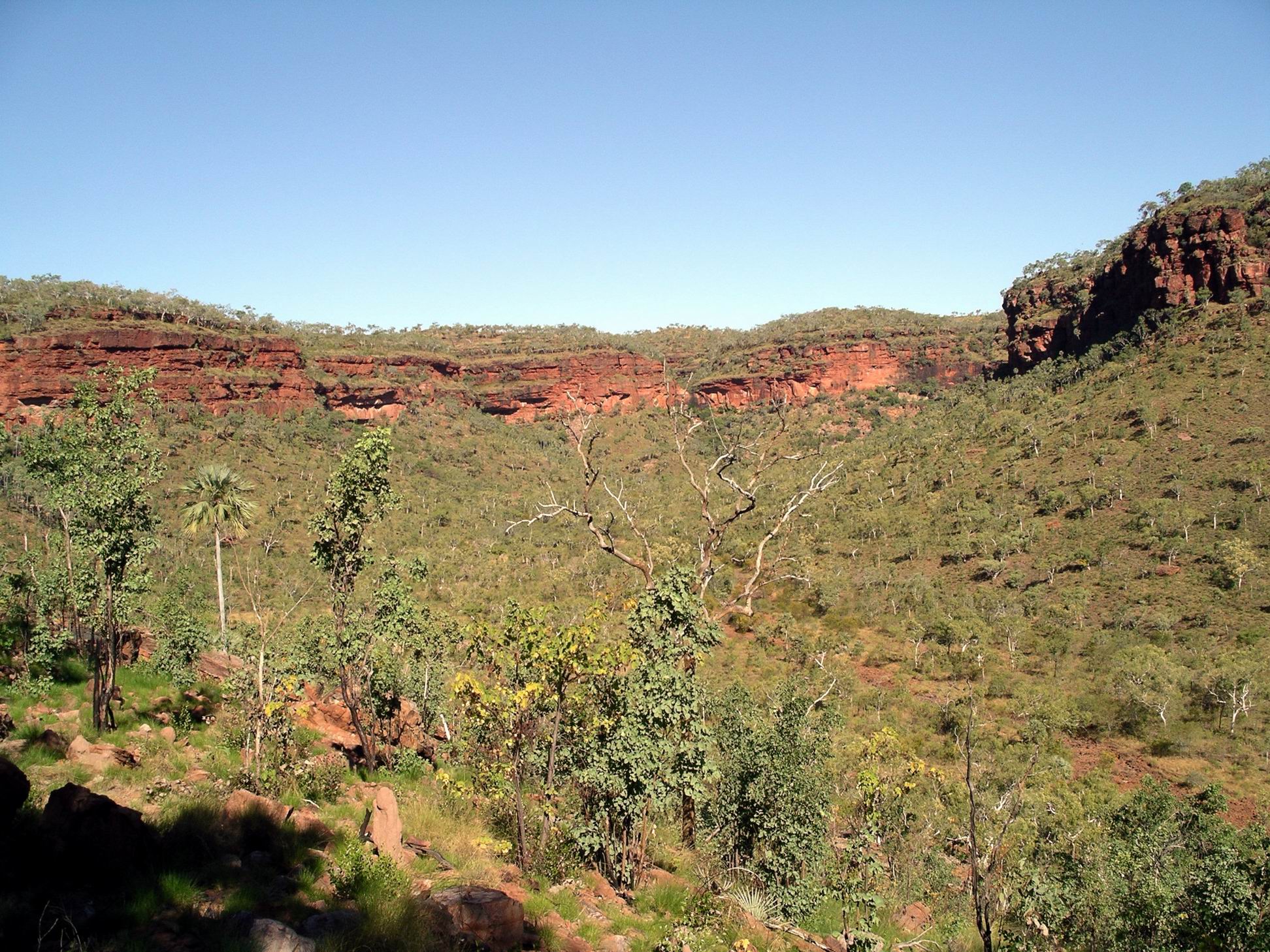
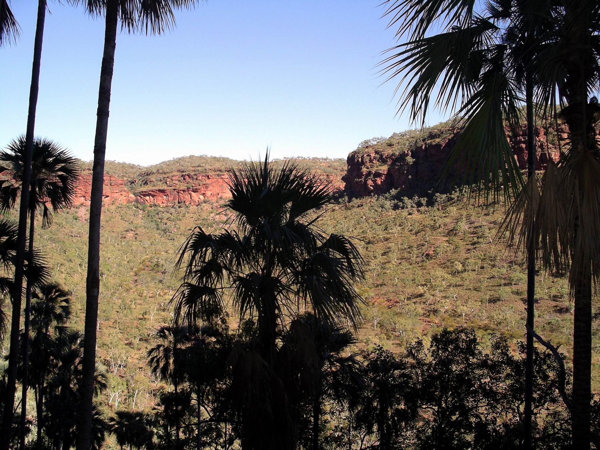
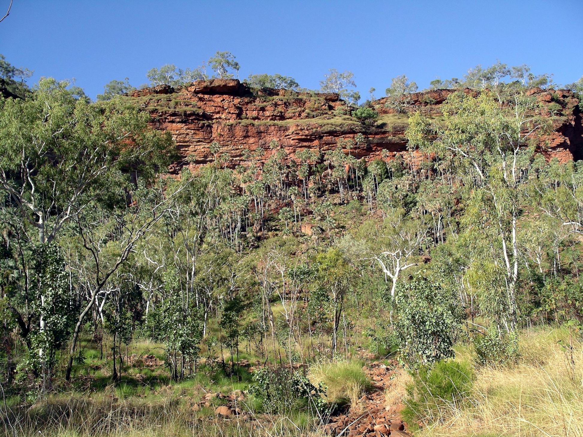
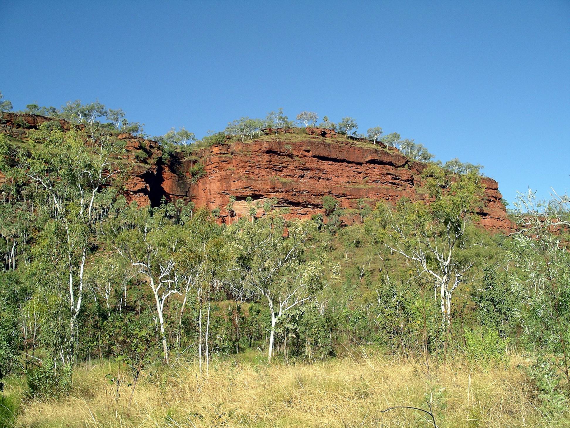
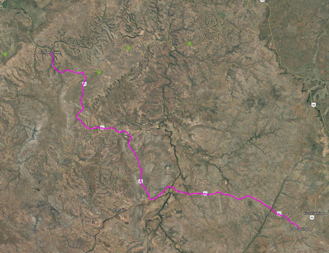
FRIDAY 15 JUNE   BULLITA TO TIMBER CREEK   60kms

 Today’s was a really short stage.

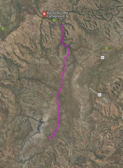
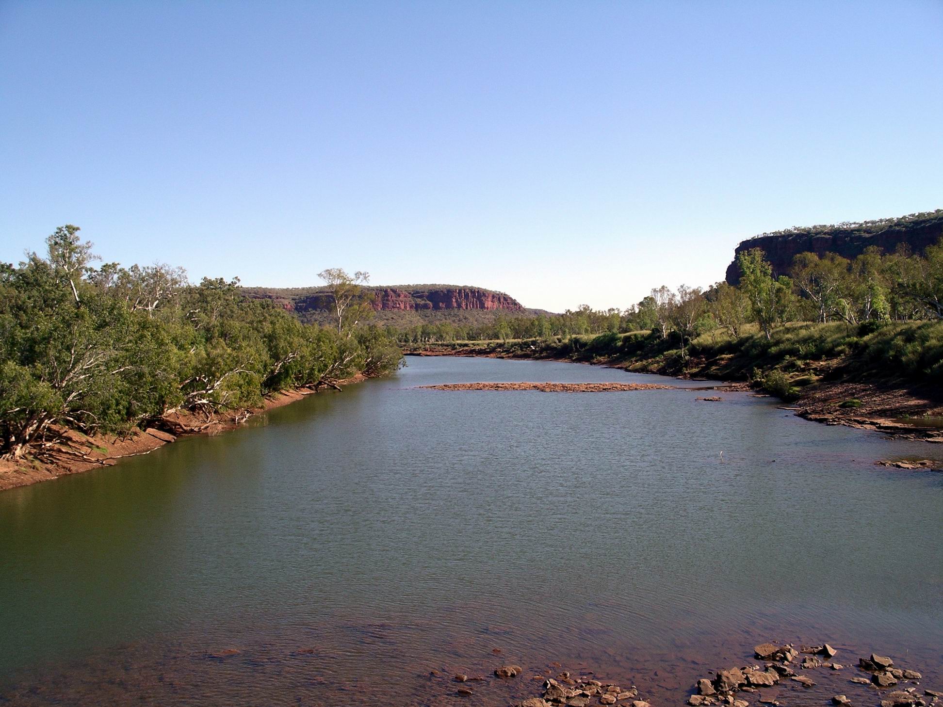
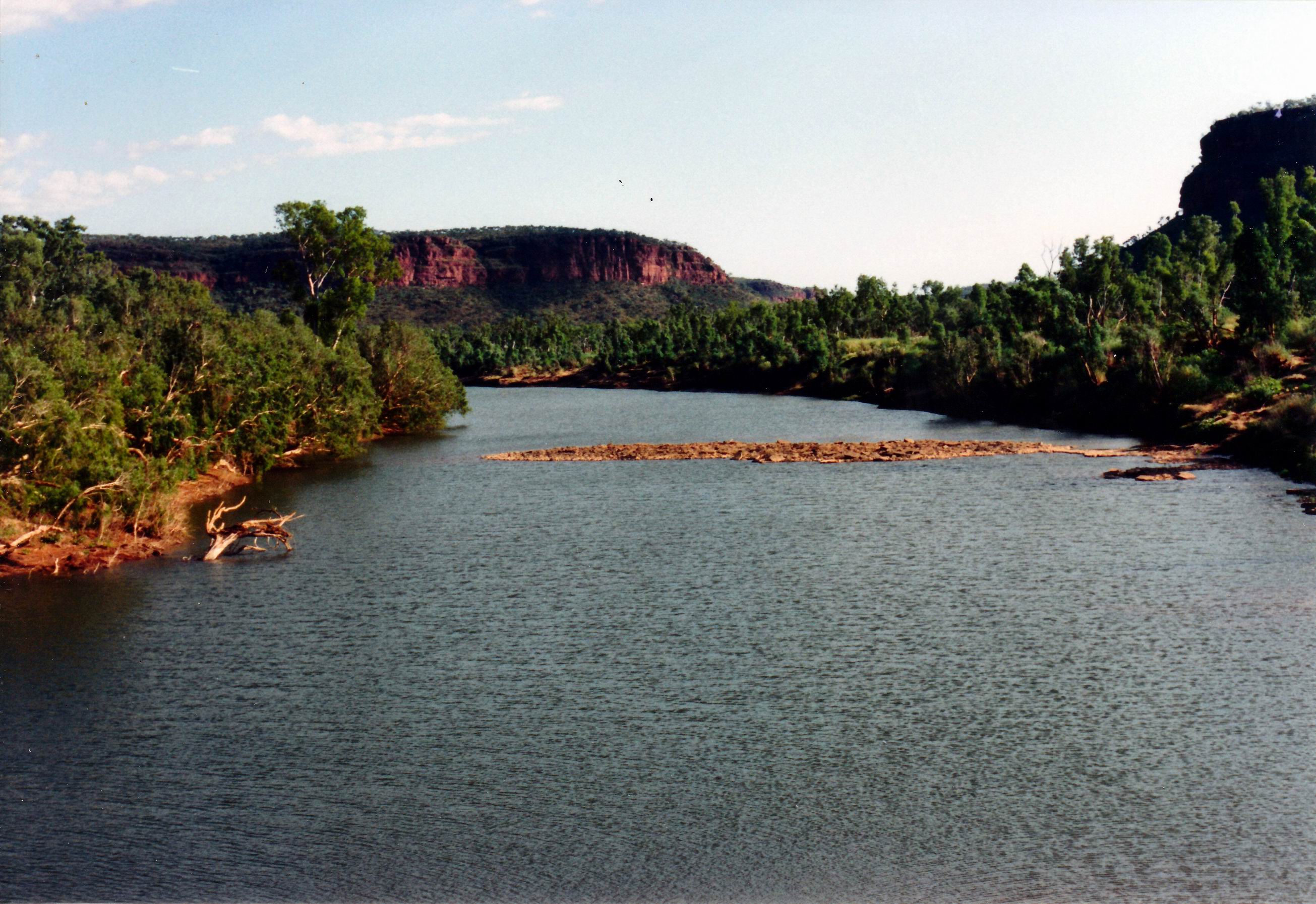
We wanted to do the boat trip on the Victoria River, which went about 40kms down the river, from Timber Creek.

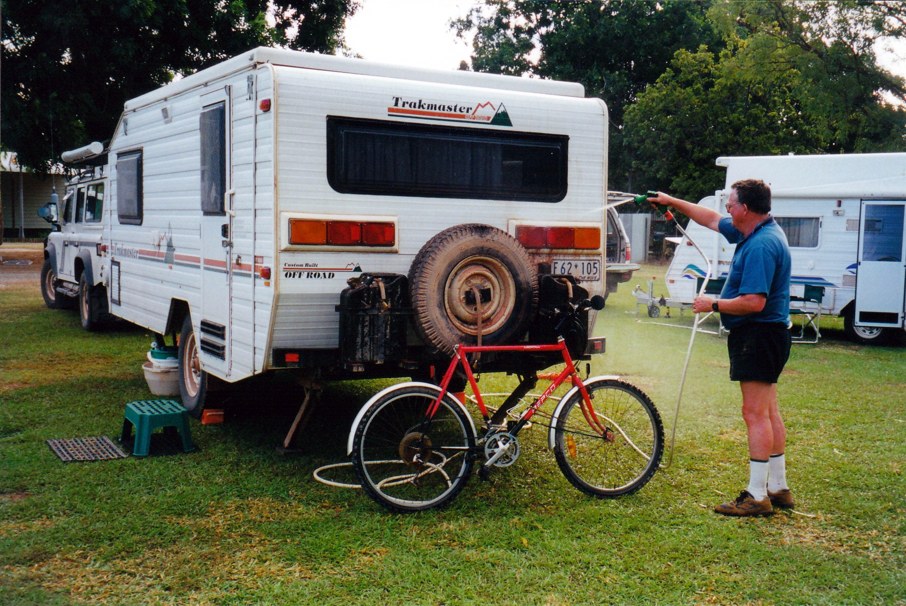
So, booked into the Gunumu Caravan Park at Timber Creek, thinking we would be able to have a bit of a clean up,  before another National Park stay, as well as do the late afternoon cruise. Our powered site cost $18.50. This caravan park was a large one, behind a roadhouse. On paper it seemed the better of the two options available, with a greater range of facilities.

The park was nicely shaded and quite attractive, although somewhat dusty as sites have become a bit bare in parts. Unfortunately, the park amenities were dreadfully dirty and looking run down, with broken tiles. They were also accessible to the general public i.e. local indigines, who hung around the roadhouse and licensed facility. This did nothing for their general cleanliness. As the day wore on, so did the collection of used nappies strewn around the place.

There was a second amenities block, but when I went to look at this, found it was locked, because it was for the use of bus tour groups only. That said it all, I thought, about what happened in the ones that were for general use!

When we went to the office to book the boat trip for this afternoon, found that it was all booked out, due to some large bus tour group coming in. Damn!

Had the park amenities not been so filthy, we would have considered staying an extra night and doing the boat trip the next day. As it was, decided we’d spend our money on a boat trip on the Ord River, in Kununurra,  instead.

The park was fairly well patronized by campers. I wondered how many of them had been caught out by the boat trip scenario, like us.

Timber Creek camp – our basic overnight set up

Had refuelled at the roadhouse in front of our chosen caravan park, before coming in.  $1.64cpl.

With mobile phone coverage here, we did some catching up with family and friends who had left messages while we were out of range. Sent texts to my two offspring. Son replied back that he was off to New Zealand next week, for four days, for work. I was pleased by this news – a nice distraction from domestic matters.

This had turned out to be a “wasted day” really.

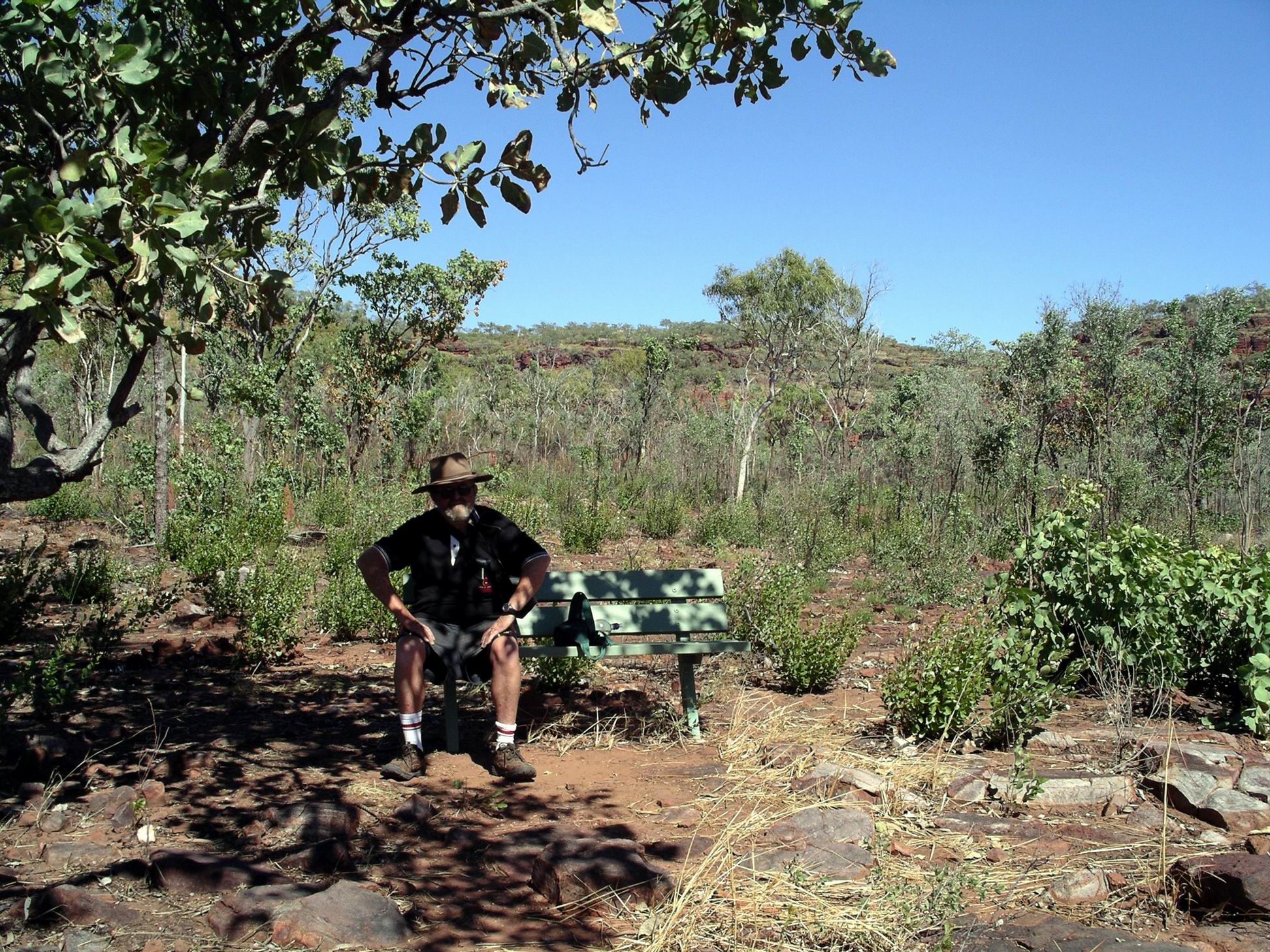
We did go for a little stroll around the campground. Opted not to go to the late afternoon crocodile feeding at the end of the campground, this being the other attraction in Timber Creek. I have seen plenty of croc feeding demonstrations in Darwin, thank you.

The large bus tour group arrived, set up in “their” area, then headed off for the boat trip.

As the night and the dark wore on, the background noises – mostly yelling and loud voices – became louder and more constant. No campfire, of course, but equally, no sitting outside after tea.


Leave a comment

2007 Travels June 11

MONDAY 11 JUNE     VICTORIA RIVER ROADHOUSE

Today was the start of the seventh week of this trip. That had gone by fast!

Did some washing. Read some old newspapers that we had been carrying around. Sorted and labelled photos on the laptop.

Just basically relaxed.

Victoria river, from near the Roadhouse
Victoria River bridge and gates that close the Highway at flood times

Through the course of the day, realized that a down side of this place is that the amenities block is shared with roadhouse customers, and anyone who wanted to drop in from around the area! It could get quite crowded when there was a large bus or two in at the roadhouse. That communal aspect also made them rather hard to keep clean, though the roadhouse staff did their best, and most of the time they were up to the standard we hope for.


Leave a comment

2007 Travels June 10

SUNDAY 10 JUNE   SULLIVAN CREEK CAMP TO VICTORIA RIVER R/H   16kms

It had become obvious by the late afternoon, yesterday, that Sullivan Creek was not a suitable place for staying any longer. Too many people too close together. This is the trouble with half way decent low cost or free camp areas. So we packed up and moved on.

After only 16kms, reached the Victoria River Roadhouse. While John refuelled – $1.62cpl – M and I had a quick look around.

The campground looked very attractive and this would be central for walks M and I wanted to do. John was not happy that we’d “messed about” with last night’s camp, only to come 16kms today, before wanting to stop again.  However, we didn’t then know how good this was, or how unsuitable Sullivan Creek would turn out to be.

Our powered site cost $20 a night. The campground was huge and grassy, with plenty of shade trees. It was very pleasant – and not all crowded! There was some TV – but only one channel, relayed from the roadhouse.  

Victoria River Roadhouse camp

 Set up camp, then set off to do the Escarpment Walk, before lunch. Had to drive along the highway for a couple of kms, to get to the carpark, from which the walk started.

Walk goes up to the top of that….

This 3km walk involved climbing up to the top of the scarp. There’s that dreaded word “climb” again! It was quite steep in places. Taking photos provided an excuse to stop and rest my cramping calf muscles – always an issue on uphills.

Along the way were boards featuring some of the stories of the local aboriginals, that explained how rivers (and hence gorges) were made and how rain was made to fill these.

A local tree was flowering profusely at this time of year, and its brilliant yellow blooms were a distraction from the broader scenery.

There were excellent views from the top of the Escarpment, over the ranges, the Victoria River and associated gorges, and over our campground.

Victoria River and Highway 1
Highway, Roadhouse & camp complex, tree line of Victoria River below the escarpment

And what goes up must come down again…….

Just a little rest here…..

After lunch back at camp, we stirred ourselves again, and drove 10kms to the turnoff to the Joe’s Creek picnic area – 2kms along a gravel track. Here was the second walk we wanted to do in this area. This one was only a 1.7km circuit – however, distance is not always the  indicator of difficulty!  It just tells you for how long, roughly,  you are going to be in pain!

Escaprment of Victoria River valley from Joe’s Creek track

From the carpark, in the picnic area, the range rose in a tall semi-circular escarpment. It was worth driving in here just for that outlook.

Joe’s Creek valley – from part way up the walk track

Our path wound through the spinifex and scrub, and then  up a loose rock scree slope, through clusters of Livistona palm trees, to the base of the almost vertical scarp face.

The track along the base of the scarp wall took us past aboriginal art works on overhanging rock sections. One of the figures reminded me of the Lightning Man depictions at Nourlangie Rock in Kakadu. Another, an elongated being with a striped body, was similar to something we’d seen up near Kalumburu in the northern Kimberley. I found it interesting that there were these apparent similarities from across such a widespread area.

Then we descended back through some more scree slope and palms, and wound back to the car park, all the time with those imposing scarp walls encircling us.

Walk track, scree slope, palms
The black scar of a wet season waterfall

This walk had been very scrambly, in sections. John did well, considering. All of us were leg weary by the time we got back to the vehicles.

Since we were close by, decided to take the short 4WD track to the Old Crossing of the Victoria River. It was only in 1970 that the road bridge near the Roadhouse was built across the river. Until then, traffic had to use the Old Crossing – basically a rock shelf in the river. It would have been impassable for significant periods.

Old Victoria River Crossing

It is easy to forget how recently it really was that these regions were opened up to the sort of modern access and travel that we enjoy today.

Our final little sidetrack for the day was to drive down a road near the Roadhouse, that led to a place on the river where boats could be launched, into what was a long reach of the river. We had to walk the last part of this, not being sure if there would be room to turn our rigs around at the end. It was a narrow little road through very tall grass.

Decided to have another, lazy, day here, tomorrow, in this very pleasant spot. John was content to do so, being happy that there was some TV.

Both walks today were excellent, but neither had been easy. The clearly hotter days made exertion that bit more difficult. The nights were still cool, though, and we needed to change into long pants.


Leave a comment

2006 Travels September 13

WEDNESDAY 13 SEPTEMBER   HOWARD SPRINGS TO KUNUNURRA   848kms

We pulled out of Howard Springs at 7.15am.

Basically, it was a day of driving, stopping only for quick coffee breaks and leg stretches.

I had packed sandwiches this morning, and we took a brief lunch break at a roadside rest area, somewhere west of Katherine.

Refuelled at Katherine – $1.38cpl; Timber Creek – $1.67cpl; and Kununurra – $1.66cpl.

It became quite hot as the day wore on. We discovered that the Truck air con could now be used while we were towing. The previous problem of the engine temperature climbing too high when we did so, had been solved by the new radiator! This made a very big difference on my hot side of the vehicle, especially around my feet. The layout of the Defender meant that the passenger foot compartment was quite constricted and made hotter by the central drive shaft housing.

The country around Victoria River Roadhouse looked very interesting – worth a visit in the future?

Just before the Roadhouse, we crossed the Victoria River, in a bridge that would undoubtedly flood in the wet season, cutting the highway.

Resize of 7-8-1993 Victoria River from bridge

Victoria River

The Roadhouse had a camping ground attached, a fact I mentally filed away for future reference.

Although we had driven this route, from the west, in 1993, I found I did not remember much of it. In 2000, we came from the south-west, Dunmarra through the Jasper Gorge, to Timber Creek, so avoided that Victoria River section.

Resize of 7-8-1993 Victoria River near Vic River Crossing

Victoria River

The last part of the day was through starkly spectacular country – really “wow”.

We started to see some boabs, so typical of the Kimberley country.

Resize of 09-12-2006 nr vic river 5

Passed through the border checkpoint with no issues

Reached Kununurra about 5.30pm, WA time. We had gained 90 minutes crossing the border, so it was “really” 7pm. It had been a long day on the road!

Booked into the Ivanhoe Village Caravan Park – $23.40 after discount of $2.60. We were able to stay hitched up.

Walked to the shops and bought green groceries, now we were through the border quarantine.

By the time we got back to the park, it was almost dark – the night falls quickly in these parts.

We were not very hungry, so just had tinned soup and dry biscuits for tea, and fell into bed.

Back in the Kimberley country that I love so much – but just passing through. I resolved, at this point, that if we managed a trip next year, we would come to the Kimberley. That made me feel a bit better.

Resize of 09-13-2006 to k


Leave a comment

2000 Travels June 21

WEDNESDAY 21 JUNE   TOP SPRINGS TO TIMBER CREEK   251kms

We were up at 7.30am and away by 9.

John topped up the tank with 20 litres of diesel. The fuel here was 1.13 cpl.  He pumped up the van tyre that had been put on yesterday – it had lost some air overnight – only a few pounds.

Today’s driving was really scenic. After leaving Top Springs, we soon drove into jump-up country, which was much more interesting that yesterday’s fairly flat grass and scrub lands had been. There were more creek crossings, too, the closer we got to Victoria River Downs, and some with significant water in, too, though the crossings were shallow fords.

06-21-2000 04 Dashworth Crossing VRD.jpg

Cement ford over creek on the Buchanan Highway


We stopped at the Dashworth Crossing of the Victoria River, and walked alongside the adjacent waterhole, for some way. It was really lovely.

06-21-2000 02 vrd road

Crossing the Victoria River

06-21-2000 03 Victoria River waterhole

Waterhole on the Victoria River at Dashworth Crossing

There was more traffic today – we met about ten vehicles on the dirt “highway”, over several hours. Most were VRD vehicles.

Victoria River Downs is a very large cattle station that dates from the early days of pastoral settlement of the NT, in the 1880’s.

A few kms after the river crossing, we passed kind of through the settlement that is the station centre. It was like a small town. There were many houses, other buildings, yards, an airstrip. We saw two helicopters there and two light planes.

We decided that, in the rainy season, there would only be air access to the place. at times, given the size of the streams we crossed in the area.

After VRD, the road headed more in a northerly direction. We stopped at the campground at the entrance to Jasper Gorge, and had lunch. This was just into the Gregory National Park. It was a very attractive spot, beside Jasper Creek, a tributary of the Victoria River, which flows through the Gorge.

06-21-2000 06 jasper gorge camp area

Camp area near the entrance to Jasper Gorge

There were pandanus growing there. Hadn’t seen any of those for quite some time!

06-21-2000 jasper gorge.jpg

Jasper Creek at the campground

There were two camper trailers set up at the campground, but we thought the people were off canoeing.

Then we drove on through the Jasper Gorge itself, which was very dramatic, with great towering red walls.

06-21-2000 07 jasper gorge

Jasper Gorge

Closer to the main Victoria Highway, there was burning off close to the road.

It had become increasingly hot and humid through the day – possibly partly a product of us moving further northwards.

The road today was rougher than the one we were on yesterday, and much more stony and rocky. With that, and lots of creek floodways that made dips in the road, it was fairly slow going. We had ceertainly made the right decision to stay at Top Springs last night, and not press on.

06-21-2000 01 Buchanan Hway west of Top Springs

A road that required some caution

Once we reached the sealed main highway, and turned left, it was only about 30kms to Timber Creek – a small settlement beside the large Victoria River.

Timber Creek began as a dock for boats that serviced pastoral stations upstream, around 1900, but really only grew after the Ord River Scheme over the border in WA, began, the highway between that and Katherine to the east was sealed, and a bridge built over the Victoria River for the highway – in the 1970’s. One tends to overlook how relatively recently these parts have become readily accessible to travellers like ourselves.

We booked into the Timber Creek Caravan Park, for $15 a night, for two nights, because we wanted to do a little exploring around here.

John went to the servo and workshop at the roadhouse, to see about a new tyre. The man told him that our Dunlops were wrong for the roads up here! We will see, because this was an issue we had discussed specifically and at length with the Rockhampton dealer before we bought them. John then said we would wait until we got to Kununurra before looking for a replacement. We do, of course, still have one usable spare, for either Truck, or van.

John hosed the van down – it was extremely dusty – before we set up. Setting up was hot and sweaty work!

06-21-2000 washing van.jpg

Looking much more respectable.

I phoned K and reported our movements to the answering machine.

Tea was soup, lamb chops, veggies, yoghurt.

No doona was needed tonight. It is not that long since we were huddled up in our winter gear, around the campfire at Opalton!

We went to bed at 9.30pm – were both really tired.

06-21-2000 to timber ck