This Adventurous Age

Adventures travelling and working around Australia.


Leave a comment

2007 Travels June 23

SATURDAY 23 JUNE     KUNUNURRA

Today was grey, a little humid, and with showers through the day. It did not look like this nasty little low pressure system was going anywhere else, anytime soon. At least, the ongoing rain had saved face for me!

Whilst John was still sleeping in, M and I walked to the town shops, so I could buy a Weekend Australian paper. The town seemed even more crowded with disgruntled travellers.

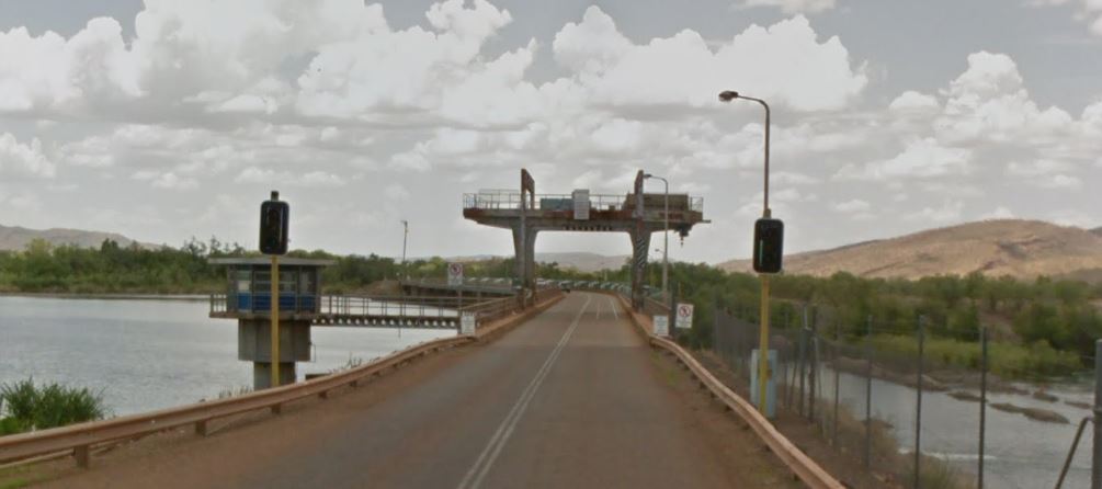
After John was up and breakfasted (late), I packed some sandwiches and we drove out to the Diversion Dam, just on the western edge of town.

Highway across the Diversion Dam (Google)

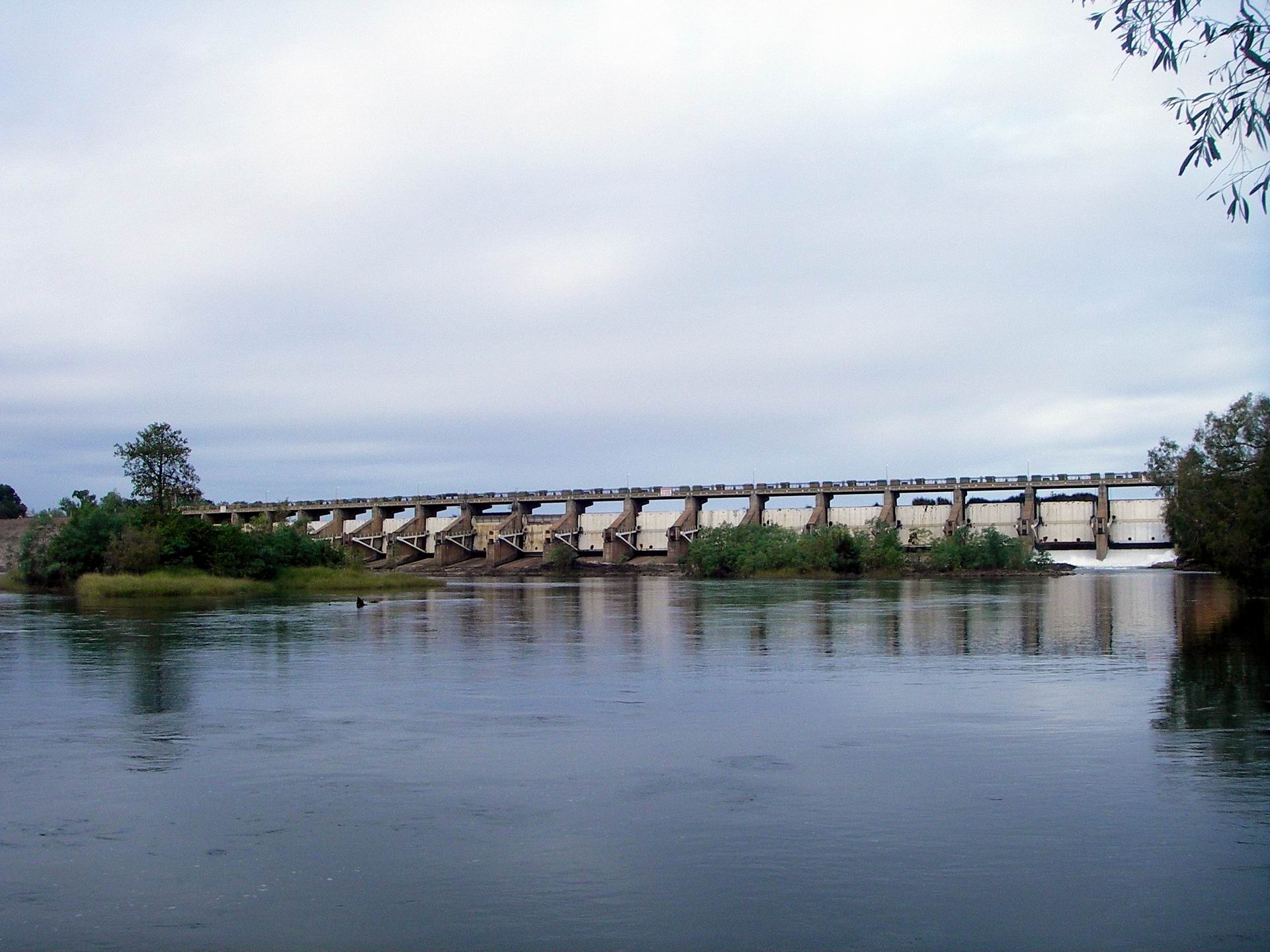
When the Ord River Irrigation Scheme was being established, the Diversion Dam was built across the Ord River, in 1963. This marked the start of the first stage of irrigated farming on the river’s rich flood plains. Before the dam, the absolutely huge Wet season flow of the Ord River – many millions of litres – flowed into the sea. Then, by the late Dry season, the river was almost dry. Successful farming would require regulation of the water flow, hence the dam, which created Lake Kununurra behind it – the stored water able to be released as needed for downstream irrigation.

One of the first crops tried in the new irrigated farmlands was rice – a logical enough product. The problem with this was that magpie geese love rice seedlings. Word quickly spread amongst the magpie goose population of the tropical north, about this new bonanza, and that spelled the end of rice cropping in the Ord. Cotton  was another experiment. There seems to have been fairly consistent growing of some fruits and vegetables – melons, mangoes, beans, pumpkins and the like. But it is a long way from major Australian markets for that sort of produce. So the whole scheme sort of staggers on.

The Diversion Dam is an impressive structure, with its movable “gates” that can be lifted up and down to control the volume of water outflow. A bonus of the building of the Diversion Dam was putting a road across the top – the current highway. As we drove over the dam, could see the gate operating mechanisms, close up.

On the far side, a road goes down to a small picnic area, below the dam wall. From here, there were good views back to the wall and its gates, which were not letting out a great deal of water, it seemed. We kept a careful eye out for crocs. It was common to see people fishing below the dam wall, here, and where there are barra…….

Diversion Dam from picnic area; two gates letting out water

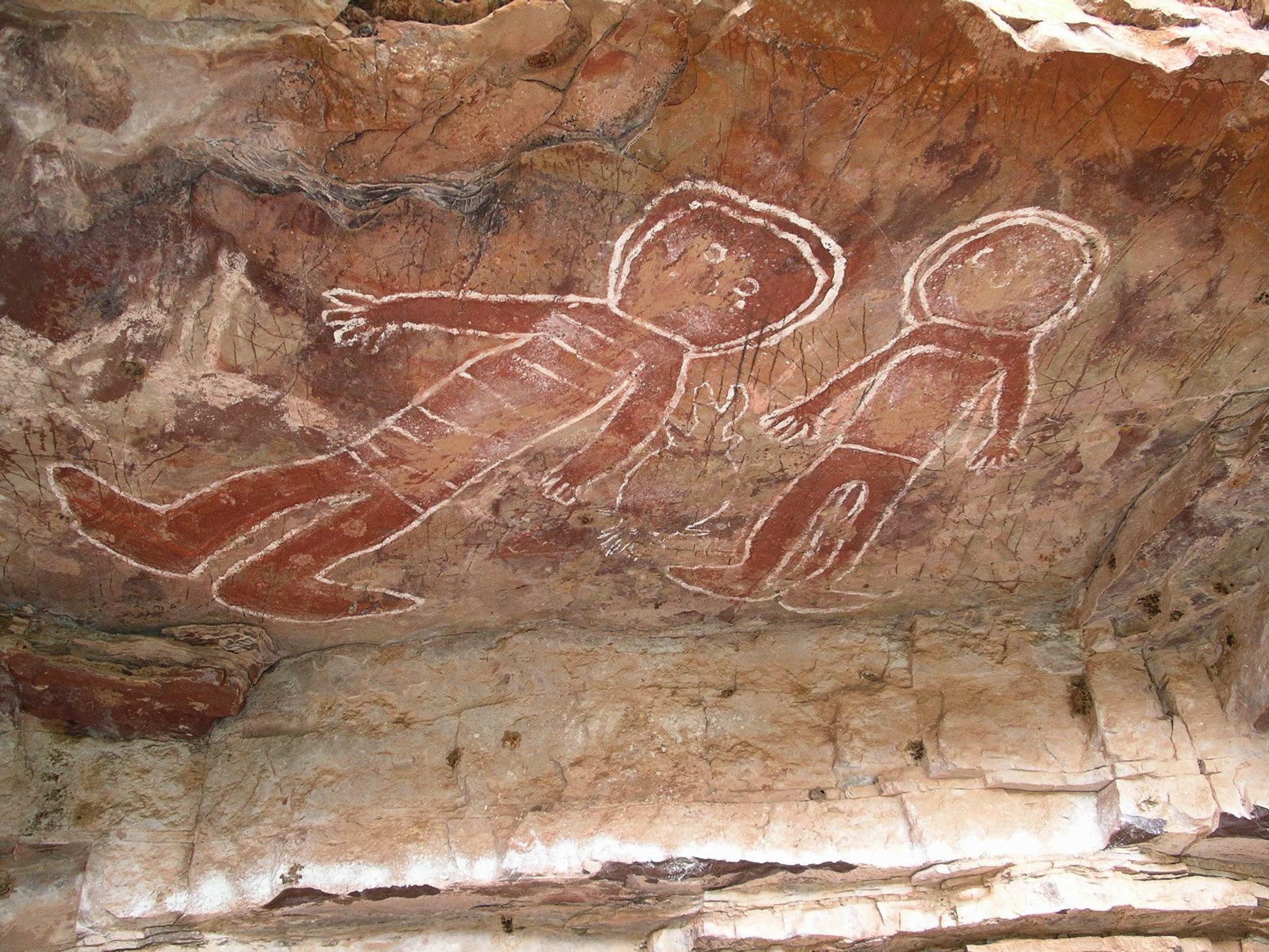
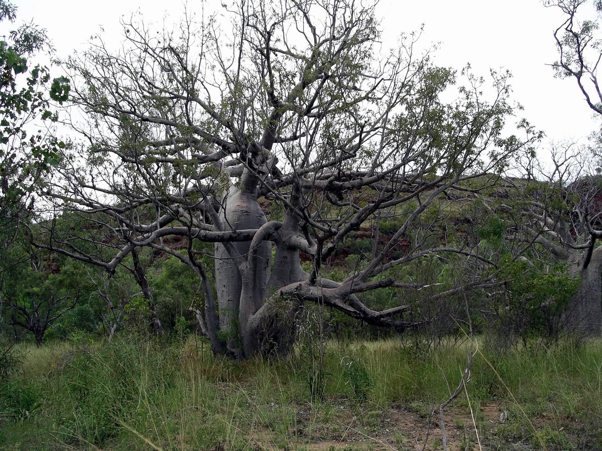
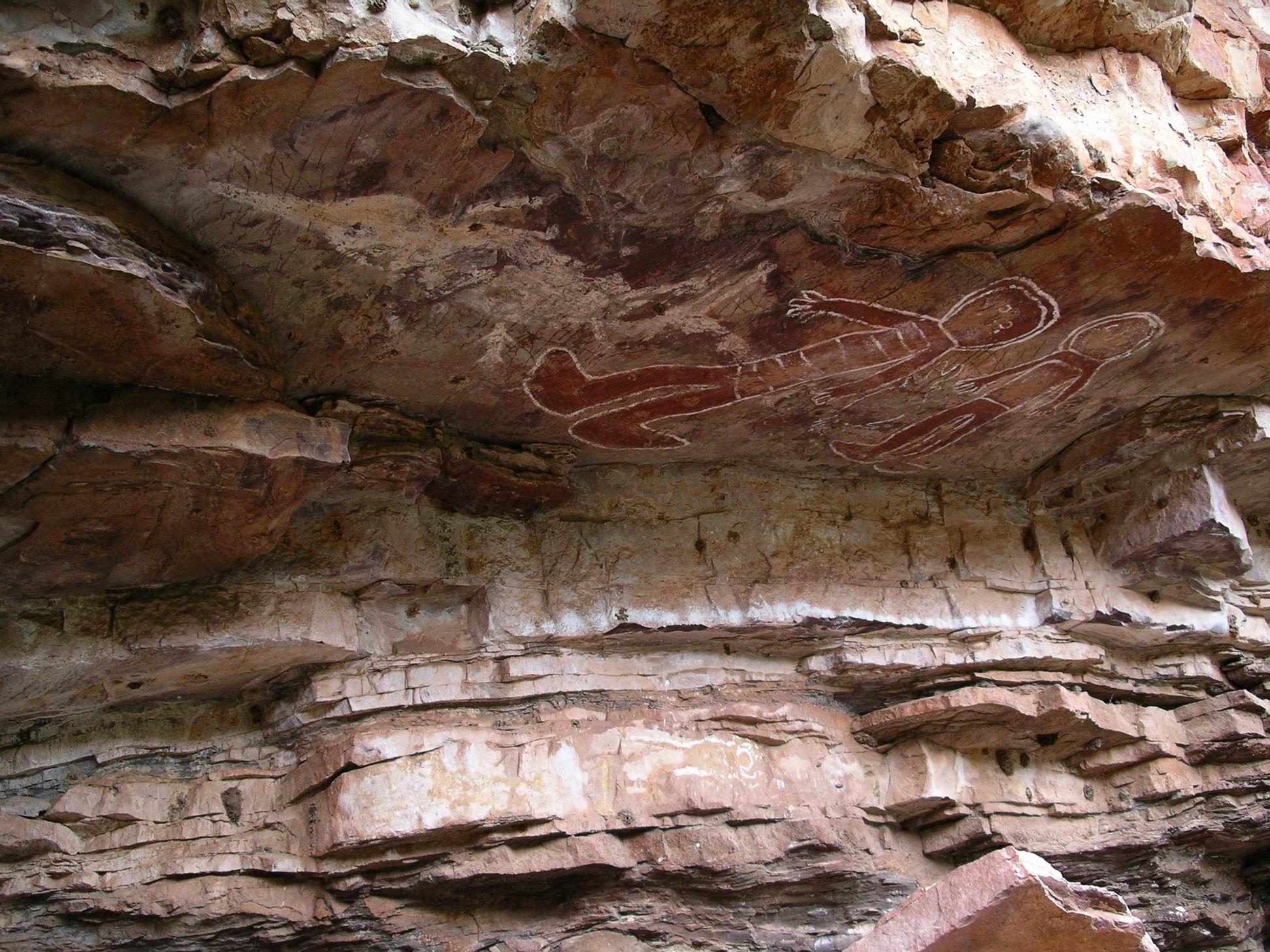
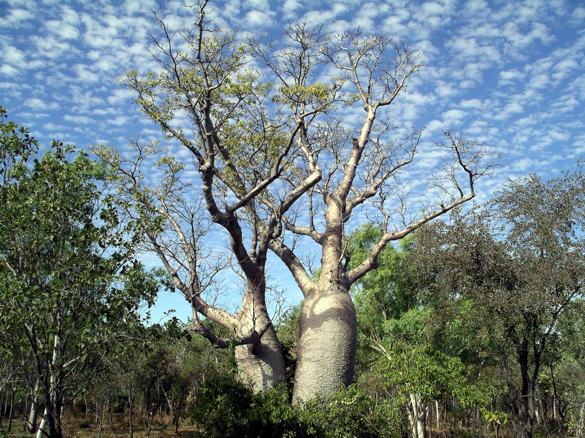
Ate our sandwiches here, admiring the river and the nearby boabs.

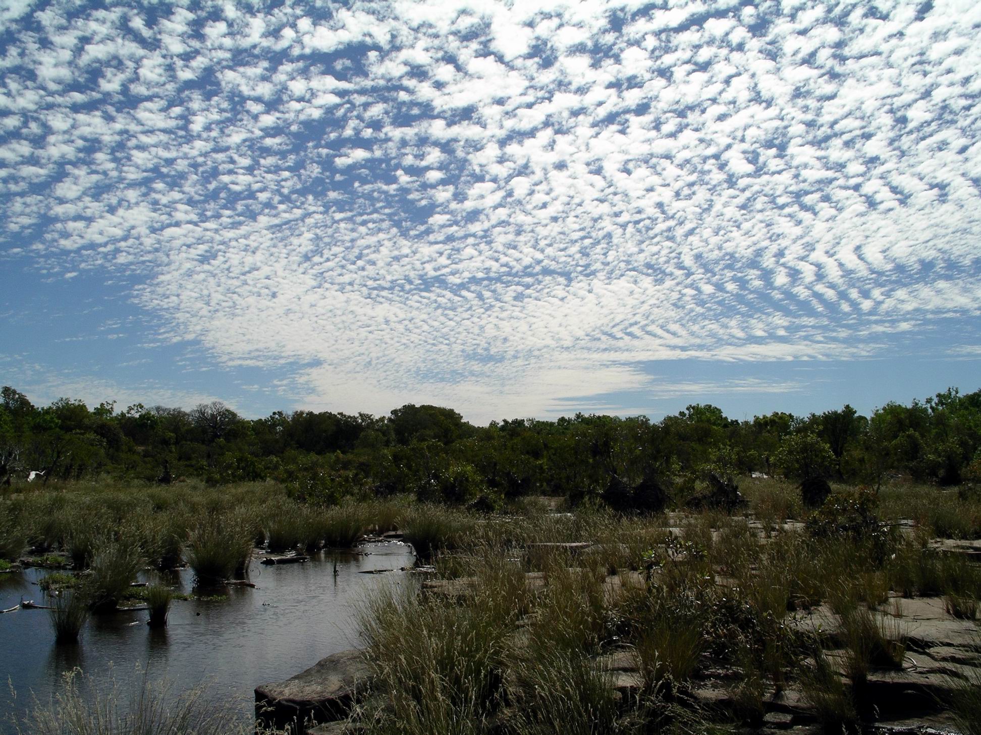
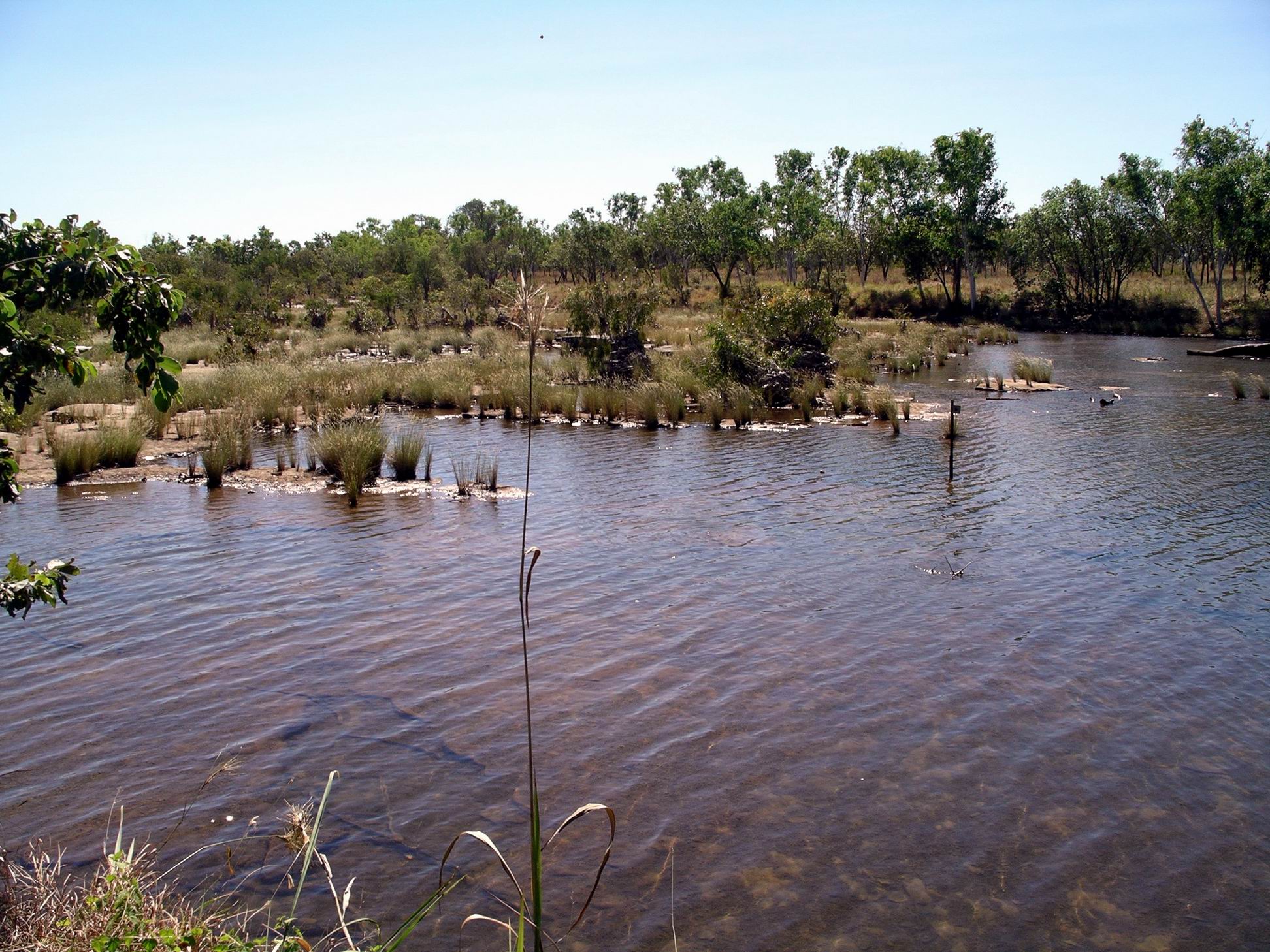
After that, drove back across the dam wall, and north, out the Ivanhoe Road, to the Ivanhoe Crossing. Today seemed to be developing an Ord River theme!

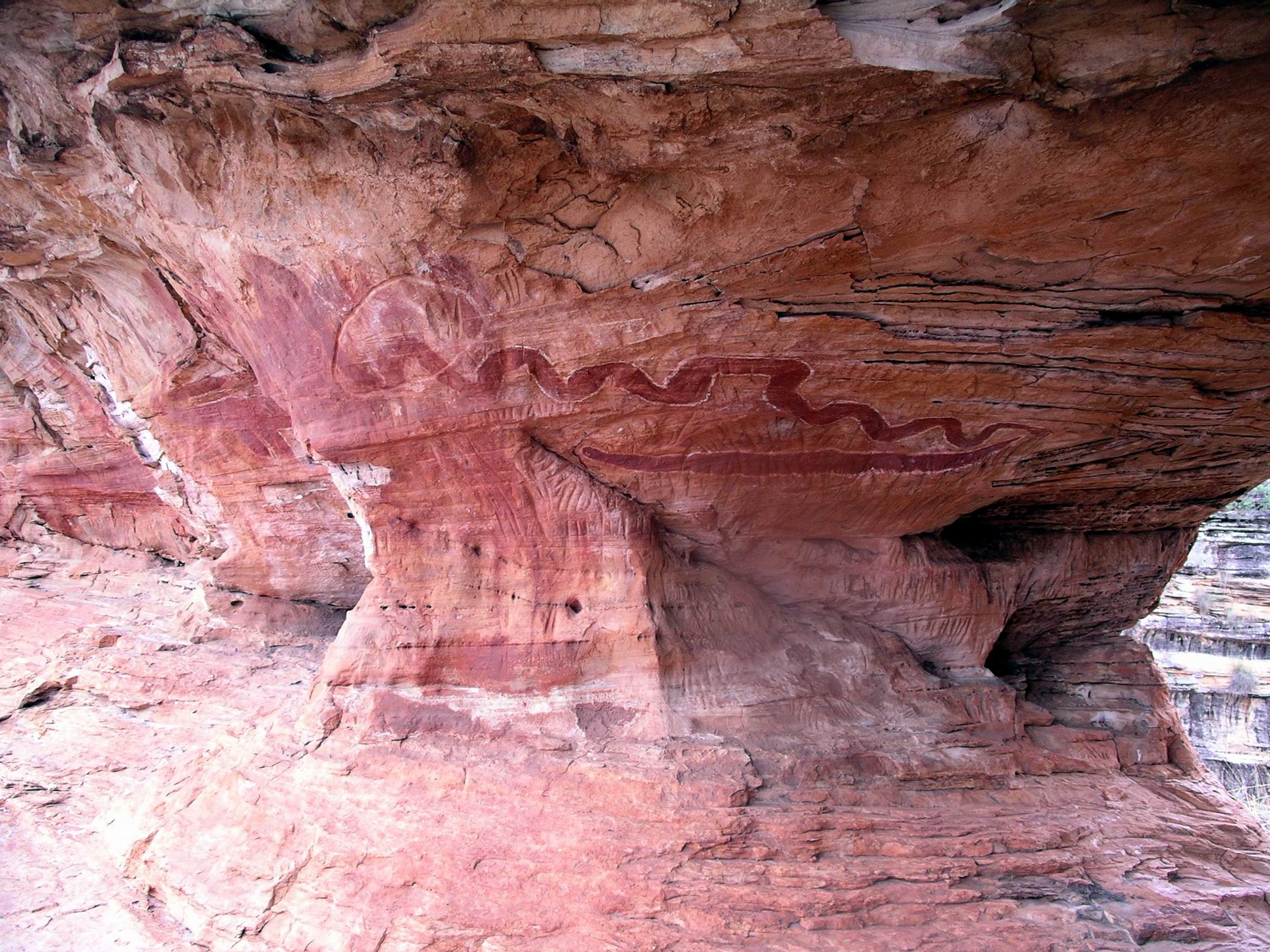
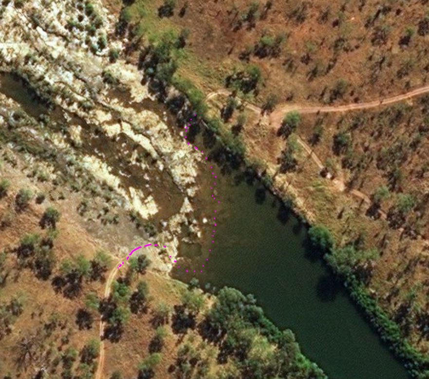
Before the Diversion Dam was built, up to 1963, this cement causeway was the way for travellers to cross the Ord. This was built in 1953, improving on an older causeway that had been made where a large rock outcrop broke the river into two smaller channels. It was probably originally used as a crossing point by the pioneering Durack family, who established the Ivanhoe and Carlton Downs Stations, on opposite sides of the river.

 In the Wet season, the Crossing was often impassable for months on end. These days, since the upstream dams control the river differently to Nature, the water was over the causeway for much more of the Dry season, and generally at a higher level all year.

We had previously seen it at a driveable level – just – for the adventurous or foolhardy – but too high for us to tackle it. Mostly, we have seen it closed, as it was now. It was one of the local tourist attractions, and some people came here to fish in the waters below the causeway – definitely croc territory!

Ivanhoe Crossing – the force of that water coming over the causeway should not be underestimated!

Back to camp and a leisurely rest of the day, spent reading my newspaper.

The No Vacancy sign was a permanent fixture at the front of the caravan park!

At night, I phoned son, who was just back from his four day work trip to NZ, being Customer Service Manager for both Australia and NZ, for the motorhome rental company he worked for. He sounded alright – was minding the children while their mother was out socialising.


Leave a comment

2007 Travels June 19

TUESDAY 19 JUNE     KEEP RIVER NATIONAL PARK

Increased cloud in the sky may have made for a great sunset, but it did not make for a great day following.

Today was a grey day, but the batteries that we’d topped up yesterday with the genset, were holding OK.

Drove north again, to the car park for the Keep River Gorge walk.

This was a 3km return walk, up the little gorge and back. The walk was enjoyable, between the coloured, layered sandstone gorge walls, to an overhanging rock area that had been used as a shelter by aborigines, and where there was rock art.

The works were varied in subject matter. Some figures were in the Wandjina figure style – eyes and no mouths.

The gorge was not all that deep, and was fairly wide most of the way.

Again, there were some wonderful old boabs to marvel at.

There were actually several different shelter areas along the gorge – an indication that a number of family groups used the area, and that it was rich in food.

Then it was back to the main road through the Park and further north for a short way, to a major art site, located in one of the rock outcrop areas that are scattered all over the Park.

A cave-like rock structure

The art here was brilliant.

Particularly striking was a depiction of the Rainbow Serpent – Garrimalam.

There had been the occasional drizzly showers through the morning.  But the rain, heralded by today’s grey skies, started in earnest in the afternoon. We were somewhat surprised by this change in the weather. We didn’t have any means of checking the weather forecast, apart from firing up the HF radio – and we didn’t even think of doing that.

When the rock formations close to camp were wet, the colours changed. The grey sections became darker and the oranges more intense. These two photos were taken in the area around the rock shelter featured above.

The Ranger still came and did his talk, which was really interesting and worth staying for. The conditions were not great though – standing around in our waterproof coats, in  rain, listening! We hadn’t wanted to take our camp chairs over to the talk, because they would have been soaked.

We learned that Keep River is a boundary,  in these parts, between arid and tropical ecosystems, and is thus ecologically very significant. I think the talk was shortened from the normal, because of the rain!

Through the night, the rain became steady and heavy. This did not seem like some little aberration in the normal weather pattern…..


Leave a comment

2007 Travels June 14

THURSDAY 14 JUNE     BULLITA CAMPGROUND

After the usual fairly slow morning start, some daily exercise was called for.

Close to our camp was the point where vehicles attempting the Bullita Track circuit, would cross the East Baines River on a series of flat rock shelves interspersed with patches of river pebble beds. Right now, the lower sections of that crossing were too far under water to be passable.

We were able to pick our way, rock hopping, across the river. It was a bit easier for us on foot than it would have been for a vehicle, because we could jump from rock to rock, that varied greatly in height and size. Even so, we got wet feet! The actual vehicle crossing here swings around in an arc, but we took more of a straight line, because much of that arc was deep water.

Rock shelves of the Bullita crossing

The vehicle line was marked by posts in the river with blue markers on. The rule was that one must keep to the left of the markers.

Bullita crossing, with track marker post

After the river, we aimed to walk at a steady pace for an hour, along the Bullita Stock Route. The vegetation over here was quite open, having been fairly recently burnt, with some termite mounds and lots of boabs to look at, including one huge and venerable old specimen.

After the stipulated hour, turned around and walked back.

The walk was pleasant, before the day got too hot. The track was reasonably level, so we could – kind of – walk and look around at the same time.

Back at the crossing, M was in front, as usual, and surprised a croc, sunning itself on a rock. With hindsight, she thought  it was a freshie.  At the time, they both moved a bit too quickly for a good look!

The Bullita crossing of the East Baines River, at low water (marked in pink) (Zoom)

Felt virtuous about making the exercise effort, but lazed about camp for the rest of the day. Spent some time bird spotting. There was so much birdlife here.

During the afternoon, a Britz  hi-top 4WD camper arrived in camp, and set up at some distance from us. We spoke briefly with them – a young couple from Europe.

It was another lovely night, with a sky full of stars. They were so brilliant up here.