This Adventurous Age

Adventures travelling and working around Australia.


Leave a comment

2007 Travels June 28

THURSDAY 28 JUNE     KUNUNURRA

M did her Triple J tour today. She had a fine day for it, though there was still some cloud about.

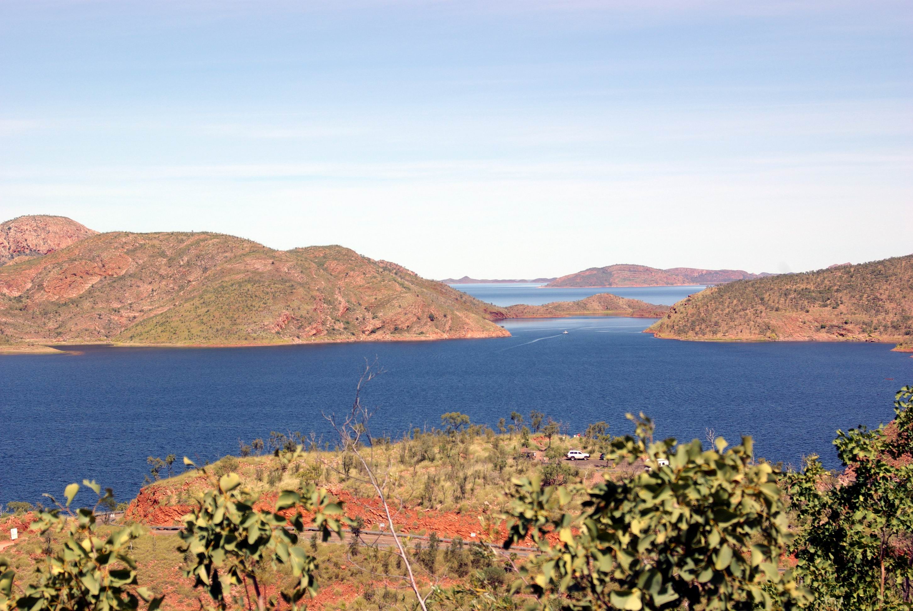
She was collected from the caravan park before 9am. They travelled by boat up the Ord River, from near this caravan park, to the Argyle Dam wall, where they disembarked at a small landing there. Lunch was provided at the tavern at Lake Argyle. A ground tour of the key features followed, like the dam wall and the reconstructed Durack Homestead.

Lake Argyle hydro scheme from dam wall. Boat landing on left

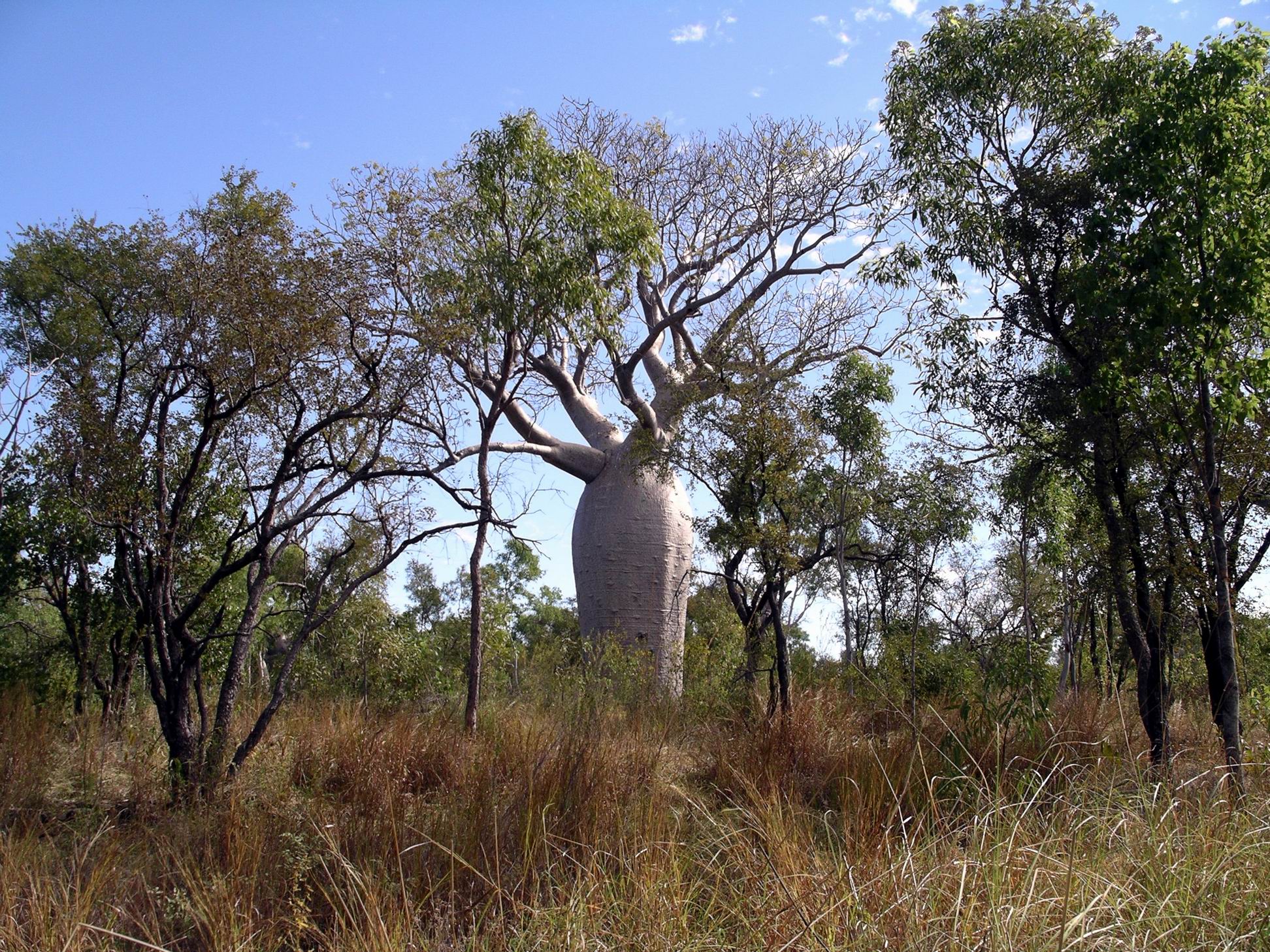
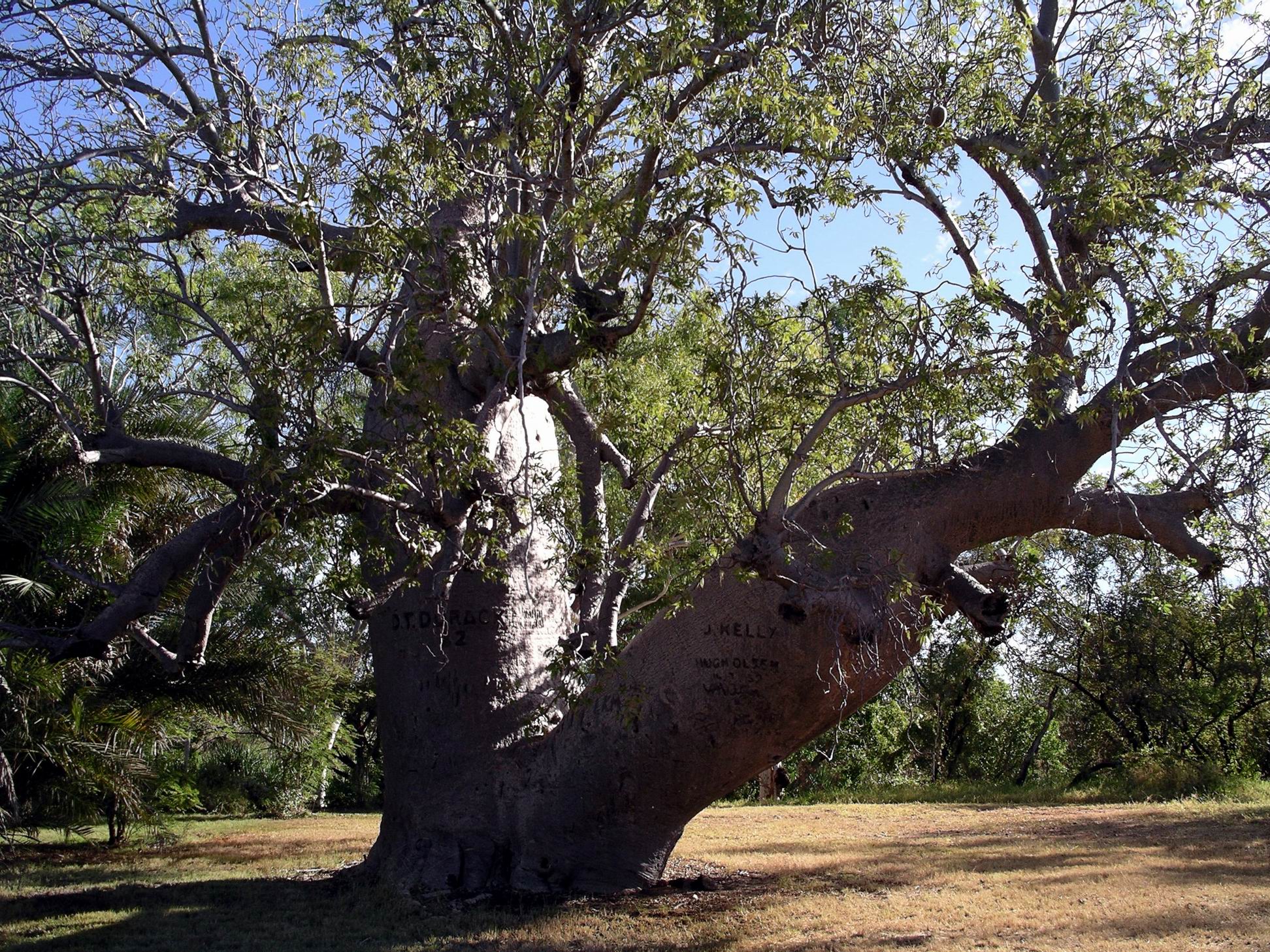
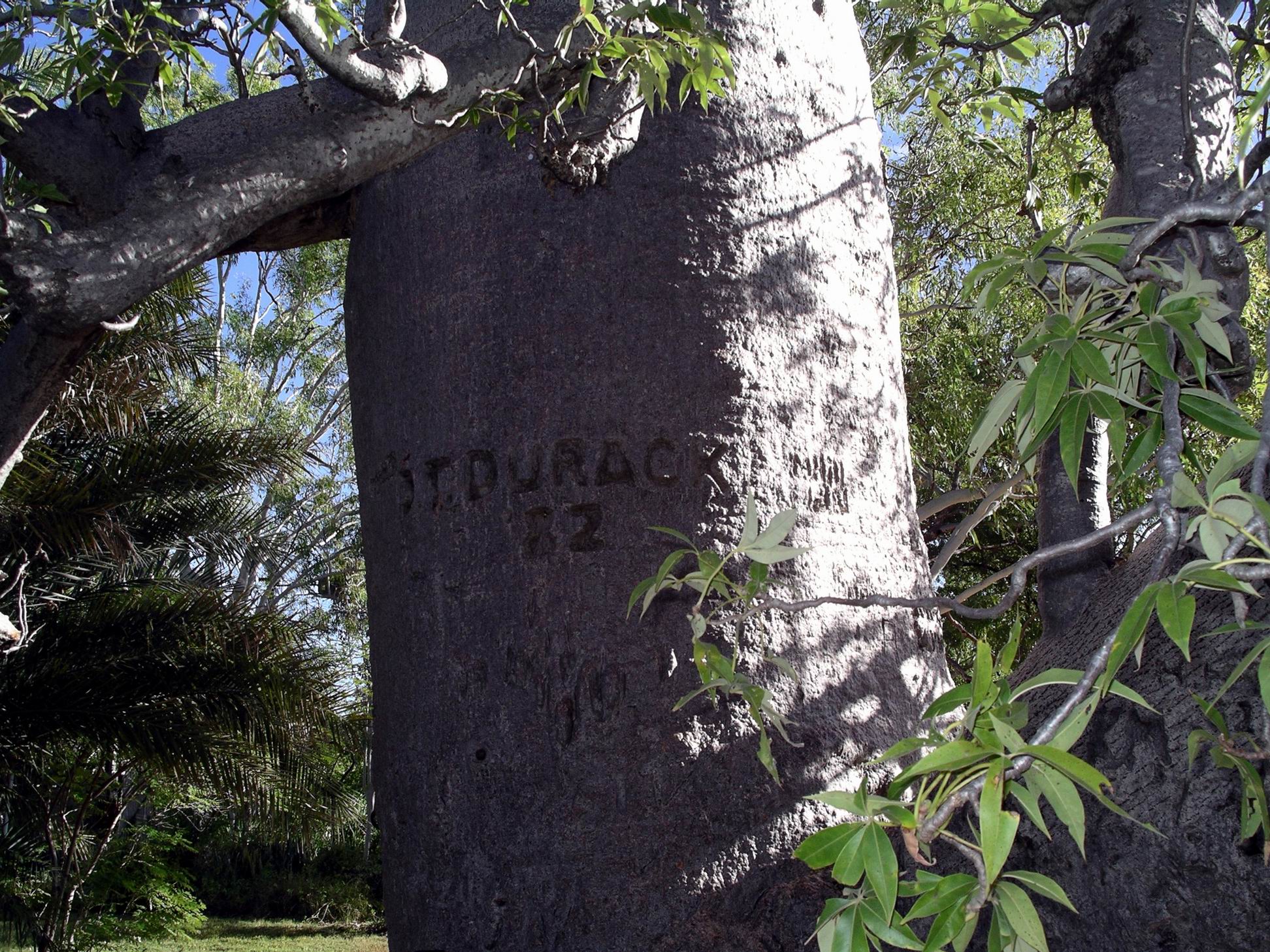
Patrick Durack, the founder of the Kimberley Durack dynasty, arrived in the Kimberley after an epic cattle drive. He built a substantial homestead on his Argyle Downs station, completing it in 1895. The site of this is now well under the waters of Lake Argyle, but before it flooded, the homestead was carefully taken apart, to be rebuilt above the water level. Even graves were relocated. It was to be a monument of sorts, to the pivotal role of the Durack family in opening up the Kimberley.

After the ground tour, the group took to another boat, on Lake Argyle itself, for the sunset boat tour, well lubricated with bubbly! Given that there was still some cloud about, they experienced a slightly different sunset to most groups, but it was very spectacular.

Lake Argyle – just a very little part of it

It was – obviously – well after dark when the bus deposited M back at the caravan park. It had been a full day. She enjoyed it, despite it still being windy and cold.

Ord River on Zoom. Red marks show pick up point and end of river trip

John spent much of the day messing about on his laptop.

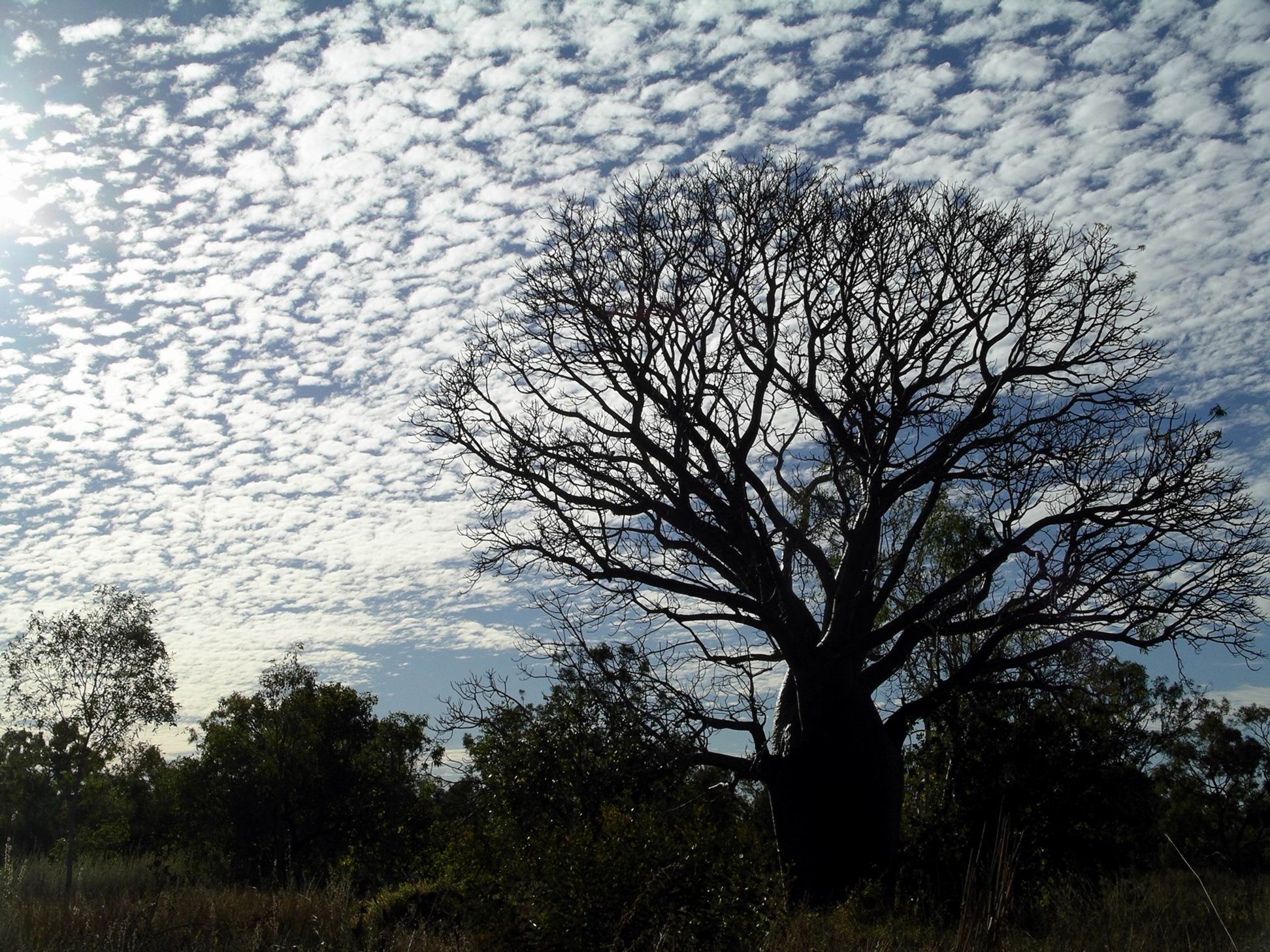
Times like this, when we were largely confined to van by weather, and not going anywhere, were – fortunately – pretty rare on our travels. In what was essentially a 6 foot by 14 foot box, it didn’t take too long to start going stir-crazy.

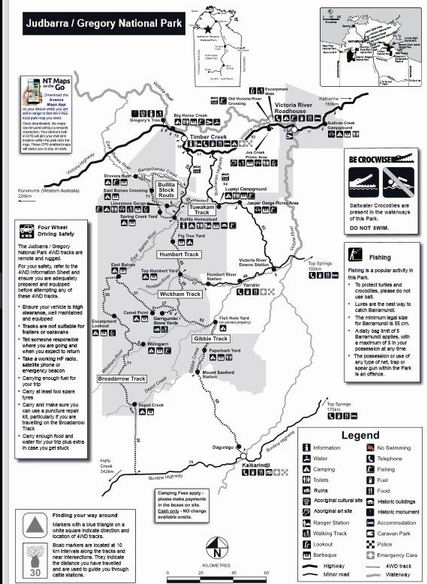
I read and tried to do some planning for a possible trip to the Bungles and the Gibb River Road, and points beyond. One fact stood out – it was going to be expensive! Everyone in the more remote parts had to make their tourist profits in a very short window of time, and the charges reflected this. Even the basic campgrounds were relatively costly – and the tourist guide was emphatic that camping was allowed “in designated areas ONLY.” Gone were the days when one could pitch a camp in any lovely spot that caught the eye – too many such campers polluting the streams, leaving rubbish – and worse – and interfering with station activities.

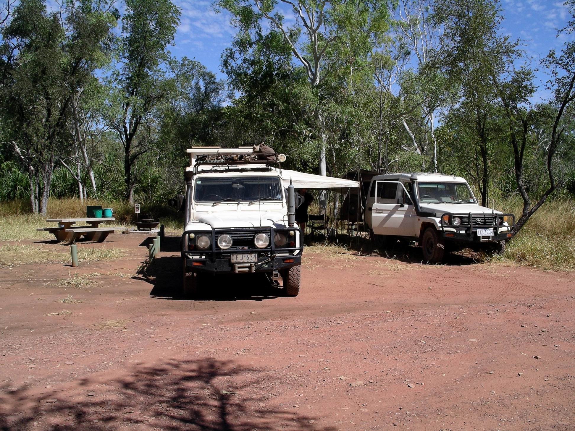
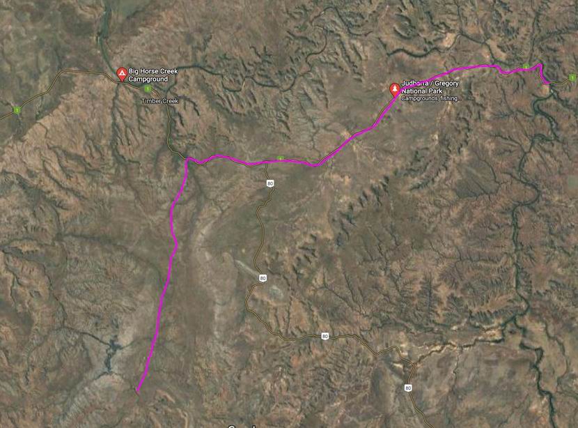
A dilemma for us was what to do about the van. It was not allowed into the Bungles. Did we do a Bungles trip, with the van left here (or at Turkey Creek), then double back, collect it and take it through the Gibb? With the recent massive rains, how high would the Pentecost River be at the crossing on the Gibb  – really didn’t want water above the van’s floor level! Hmmmm……..


Leave a comment

2007 Travels June 12

TUESDAY 12 JUNE   VICTORIA RIVER R/H TO BULLITA CAMPGROUND   130kms

Today our destination was in the western section of the Gregory National Park. This is the second largest National Park in the NT, but was only declared less than twenty years ago. This larger section preserves some pastoral history of the region, but also has some special landscapes.

We drove about 80kms west on the Victoria Highway, then turned south onto the Bullita Track. This was unsealed, but reasonable going albeit a bit rough in spots. The creek crossings required some caution, sometimes being in little gullies.

There was one creek that surprised John by being deeper than it looked – we were not doing as we should have by checking and maybe walking crossings first. It was only a small creek, but about 3 foot deep! We made an enormous splash as we hit and ploughed on through – more by momentum than anything else. We were through before John had much of a chance to react. Didn’t seem to be any ill effects…. There was more than one good reason why M was content to follow us!

We were clearly back in boab country. These trees, with their weird shapes, are fascinating, and are just such an intrinsic part of the Kimberley experience.

After about 50kms, came to the Bullita camp ground.

This was a very pleasant, basic camping area, by the East Baines River, with a toilet and water tank. Camp spots were delineated by bollards. After finding it so pleasant, decided we’d need three nights here, and paid accordingly. Didn’t have quite the exact change needed, so put $20 in the envelope. Slight tip for the Ranger!

We set up where we had a fireplace and table. Also had a collection of fruit bats in the trees not far away – they were very noisy, but to us that was nice “bush” background sound. There was no one else here.

Bullita camp

The campground surrounds were reminiscent of our Safari Creek camp at Pungalina, in 2005. Similar climate and vegetation zones of course – the monsoon affected savanna grasslands and tropical riverine vegetation.

After setting up camp, we walked to the nearby stockyards and the former homestead.

Bullita

Bullita was once an outstation for the pioneering pastoral Durack family. It was never a stand alone property in its own right. Various important stock droving routes passed through what is now the National Park – some of them for moving stock between various Durack holdings.

The Bullita Homestead was not a grand old building in the pastoral traditions of the south. Rather, being a “back block” outstation, it was a glorified tin shed! It would have been a very hard life style here, even into the 1970’s. Actually, for the Park staff, it would be no picnic today, and they have more modern accommodations.

Of note, near the Homestead, was a big old boab tree, with a Durack name carved into it, and 82 – the question arises, was this 1882, or 1982?

The stock yards were interesting. John, of course, was interested in their construction. Bloodwood, found around here, was used, as was lancewood from further south, along  the Murranji Stock route. This was the timber commonly used for posts and uprights in these parts, and would have involved considerable effort to get it here.

The finished stockyard here was regarded as an exemplar for a drafting stockyard, where cattle were to be sorted into different categories.

An information board explained their layout and place in the pastoral saga of the area.

Totally strangely, and most incongruous, next to the stock yards, was a modern Telstra, solar powered, functioning telephone box!

Walked down to the point on the East Baines River, near our camp, where the Bullita Track crosses it. This was definitely not a river for swimming in – crocodiles in there, for sure. It is a feeder stream to the lower Victoria River.

East Baines River at Bullita

A couple of interesting 4WD tracks go out from where we were camped. The Bullita Track follows one of the old stock routes and then makes a circuit. The Humbert Track goes south and is a way through to the Buchanan Highway and Top Springs, or the Buntine Highway that runs between Top Springs and Halls Creek in WA.

On a different occasion, we would have been tempted to go day tripping, at least, on these, but all the 4WD tracks radiating out from Bullita were currently closed. The height of the river here might partly explain that. I hoped this might keep any yobbo type 4WDers away, whilst we were here.

It was lovely sitting around our campfire again at night. It was so quiet here – just the nocturnal critter sounds one would expect in such a place – and the occasional louder “plop” that one hoped was only a large fish.

At dusk, the bats departed  for their evening of feeding.

All was very well with our world!