
WEDNESDAY 13 JUNE BULLITA CAMPGROUND
I enjoyed my lone early morning sit outside, contemplating life, before M emerged from the Troopy and, eventually John from the van.
I made packed lunches, based on Ryvita biscuits, cheese and salami.
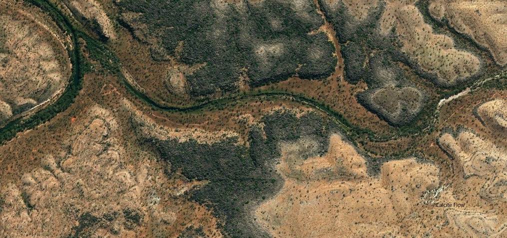
We drove back towards the highway for 8kms, then took the Limestone Gorge Track as far west as the Calcite Flow.
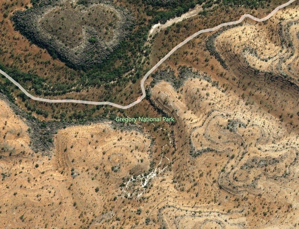
Beyond the car park here, the former track into Limestone Gorge was closed, due to Wet season damage. Judging by the extent of the wreckage we saw, the closure may well be permanent.
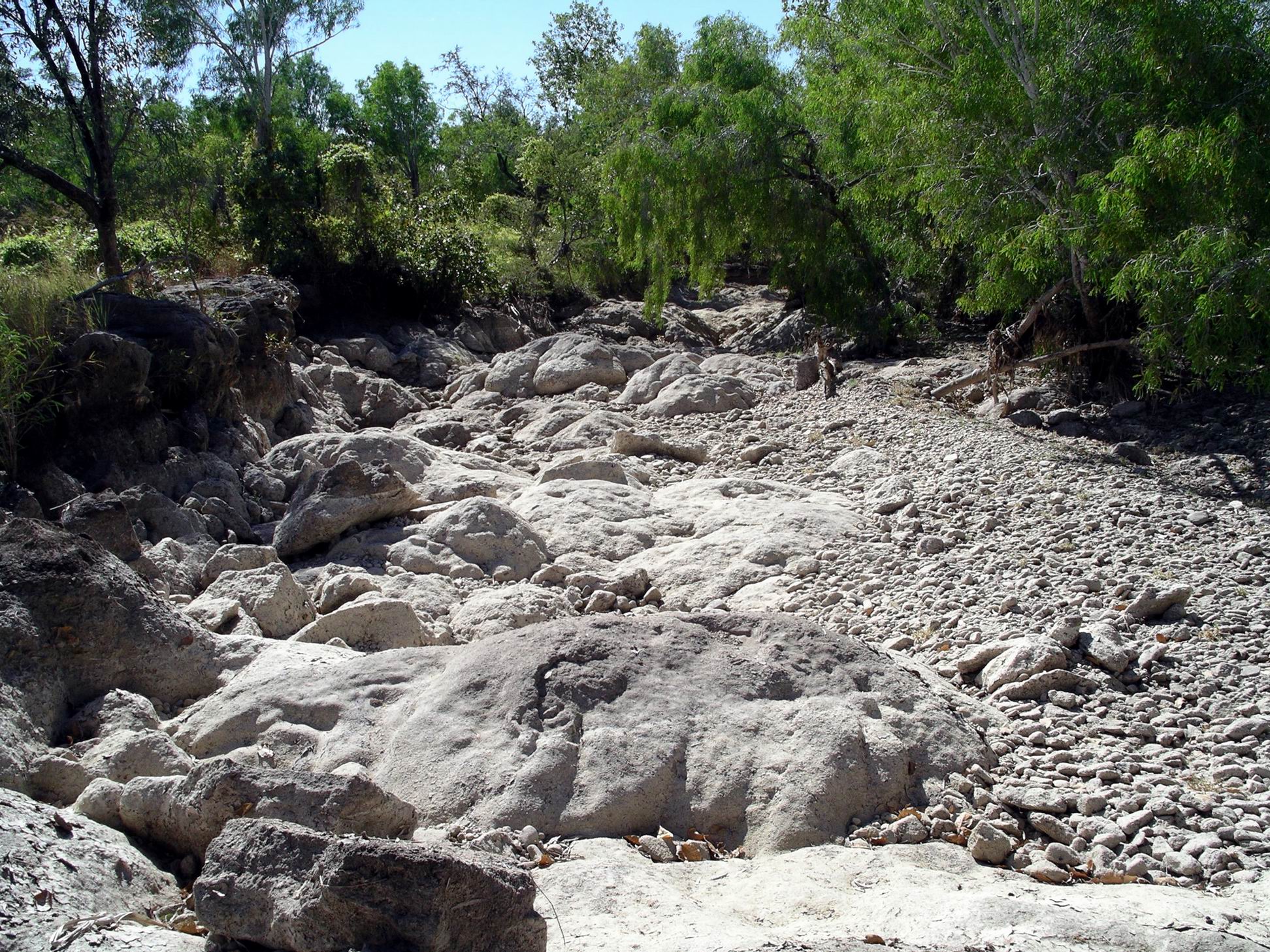
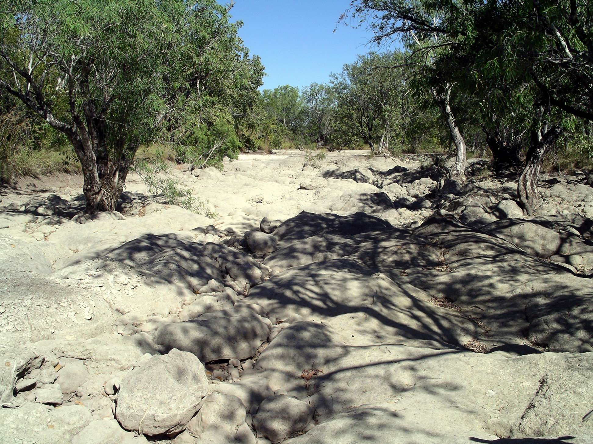
Walked the 600 metre (return) Calcite Walk – very interesting. Just around here is grey karst limestone formations and under here is a shallow cave system – The Bullita Cave is one of the longest cave systems in the world!
The Calcite Flow appears as a white, solid creek, formed, I guessed, when dissolved calcite was precipitated out of water as it evaporated. But I could be wrong on that! Either way, it was a striking looking formation.

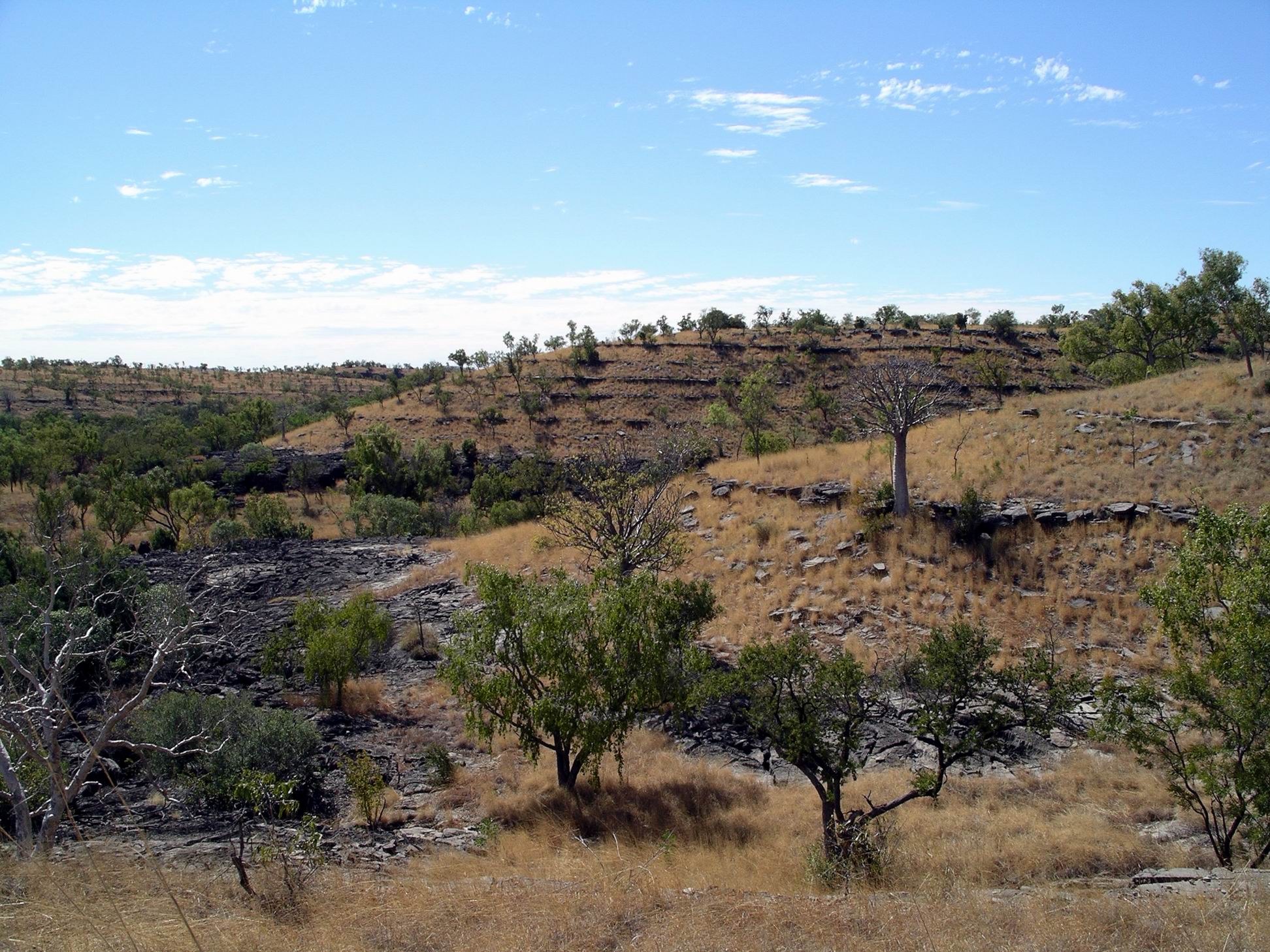
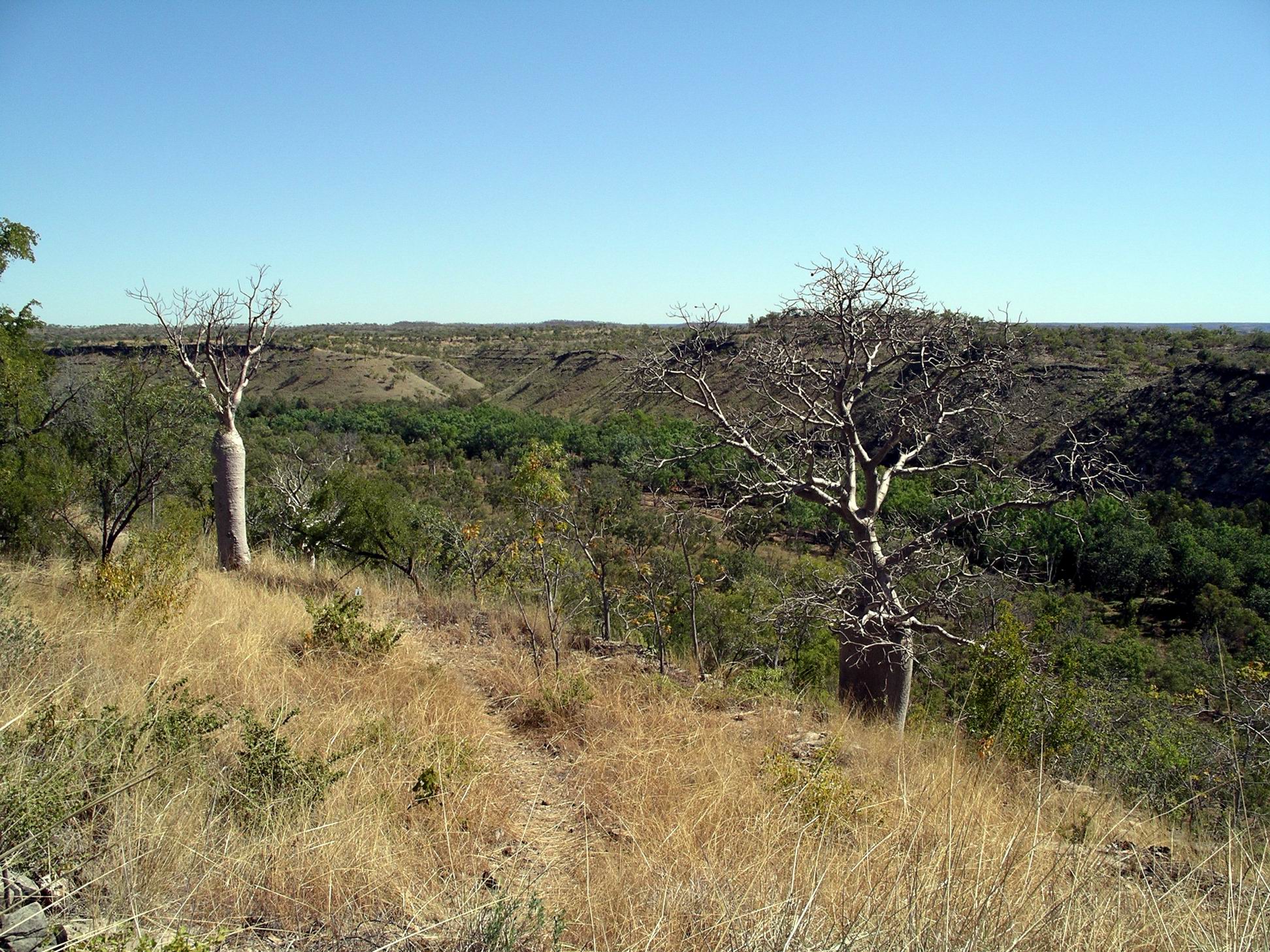
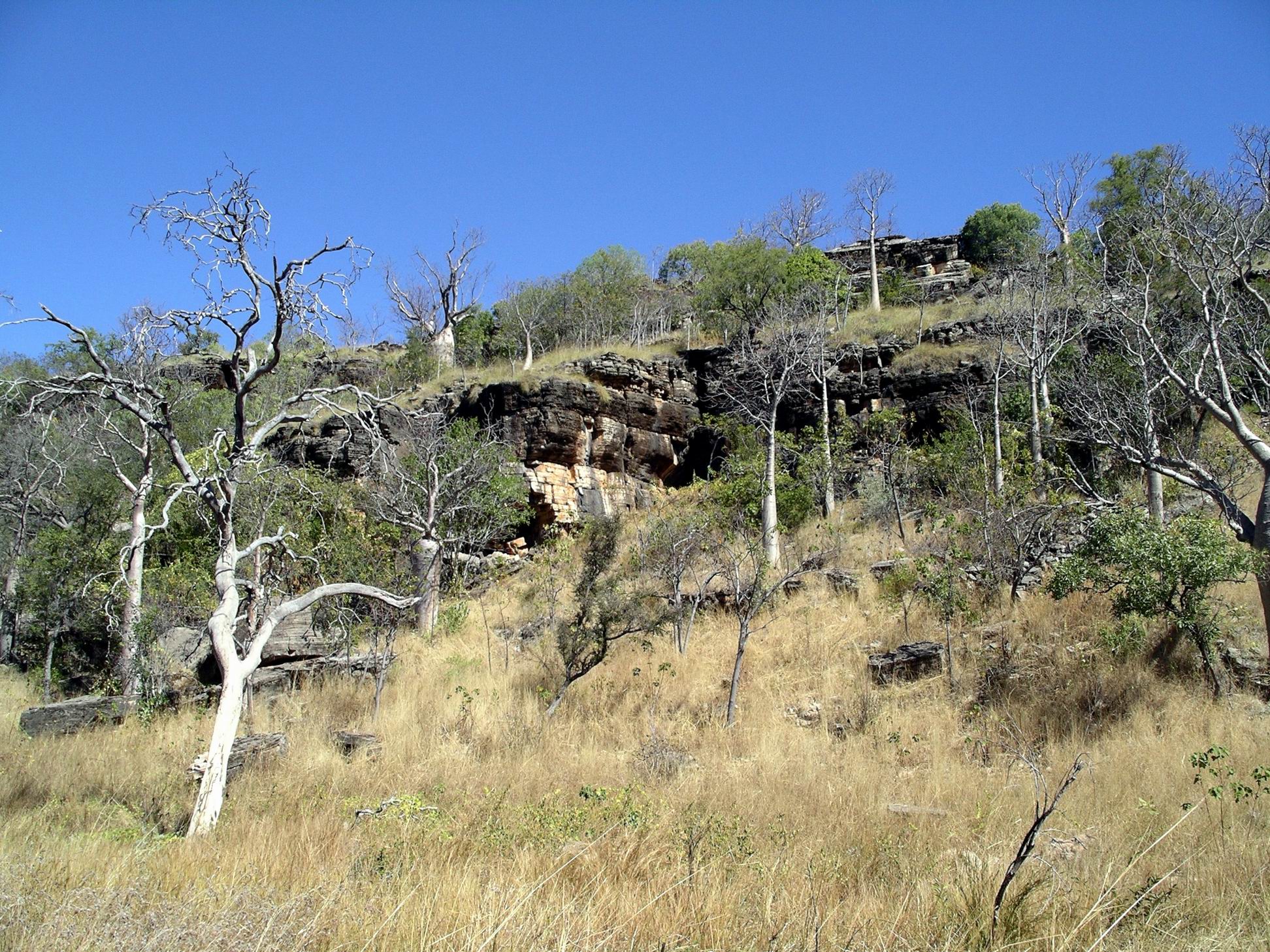
This whole bit of country was quite strange and different. The hillsides had small ridges that gave a terraced appearance, on which boabs were growing.
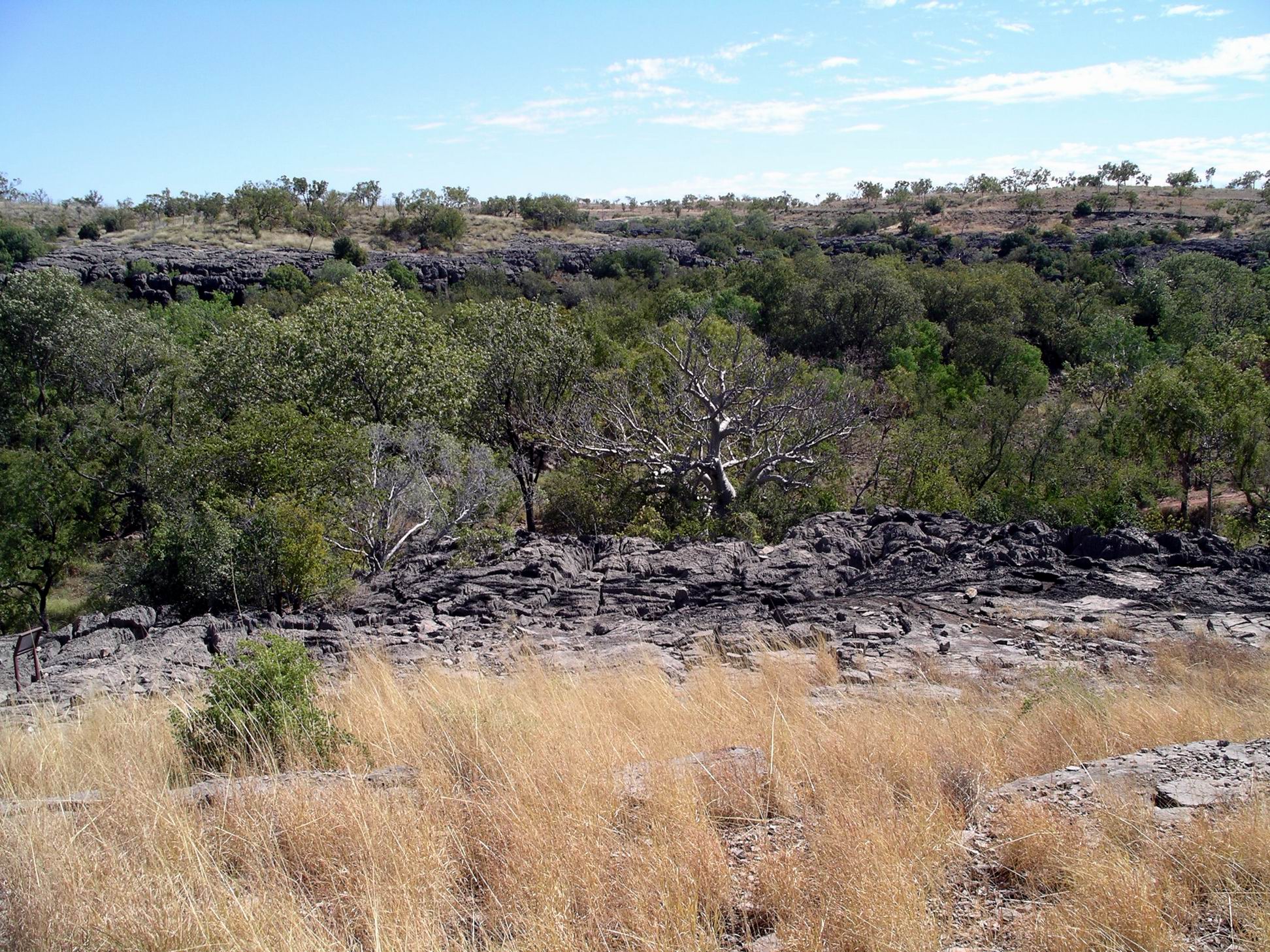
Fossilized stromatolites occurred too. Limestone country, caves, stromatolites – definitely reminiscent of Pungalina, though I didn’t see any areas there that looked quite like this.


Left the vehicles at the Calcite Flow parking area and set out on foot for the Limestone Gorge camp ground, 2kms away, walking along the closed “road”. This resembled a rocky, dry creek bed much more than anything a vehicle could traverse.

In sections there were remnants of a sort of cloth matting substance that had been put down to try to reduce erosion of the track. Clearly, it hadn’t worked!
Despite the rough surface, the walk was enjoyable, with Limestone Creek flowing close by in places.
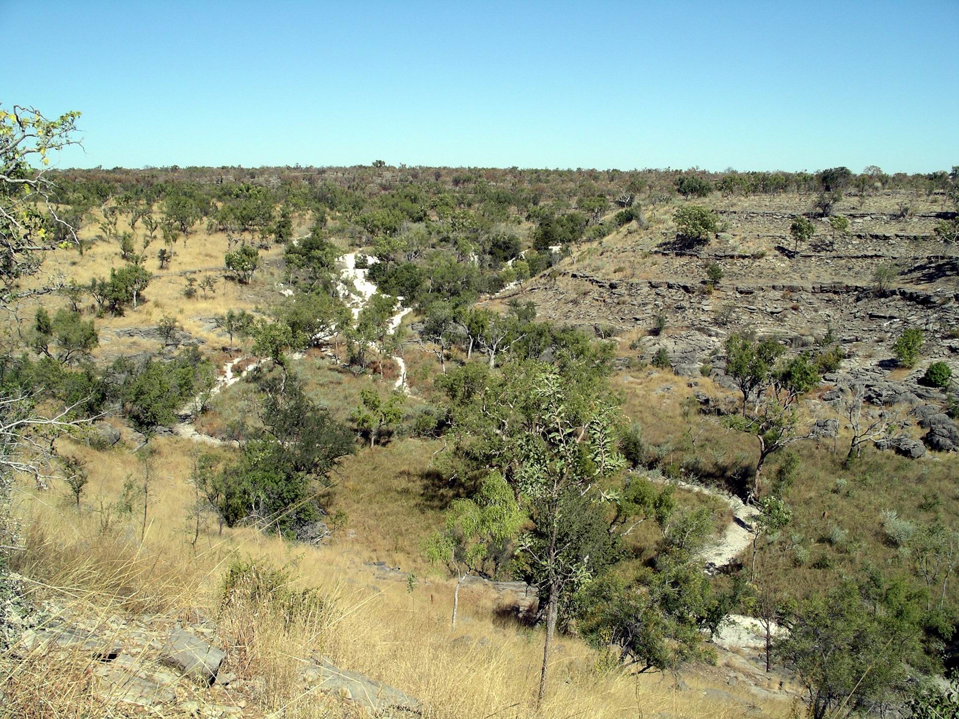
Limestone Gorge campground appeared little maintained and mown, now that there was no vehicle access. It would have been an attractive camp area, with the limestone ridges encircling part of it, and with the creek and East Baines River forming two boundaries.
The creek here formed a long, small waterhole here, supposedly swimmable, though I wouldn’t trust it! Large boulders and rocky shelves beside it provided us with the perfect spot to prop for lunch. However, it seemed that a large water monitor lizard agreed about that – and we were intruding in its dining room. It kept careful watch over us, whilst dipping in and out of the creek.

Refreshed, we took on the 1.8km Limestone Ridge loop walk, from the campground. As the name suggested, this took us up onto the ridge behind the camp area, from where there were good outlooks over the eroded valleys of the limestone karst country, and down over the camp ground.
The walking track wound around and took us back to the start. It was a walk worth doing.
I did wonder how much longer this little, slightly rough walk track would be maintained, if vehicle based visitors remained permanently excluded.

Then it was the return walk along the rock beds that once were the road. The afternoon was getting hot by now and with the heat reflecting up from the light coloured rocks, the last km or so of the walk back was less enjoyable!

Altogether, we walked nearly 7kms today. That was enough!
As we approached the Bullita campground, there was the usual little bit of suspense – would we still have this place to ourselves? Or would we have neighbours? We were still the only campers here. Lovely!
Campfire and star gazing. Just the way I like to spend evenings.
