This Adventurous Age

Adventures travelling and working around Australia.


Leave a comment

2010 Travels May 17

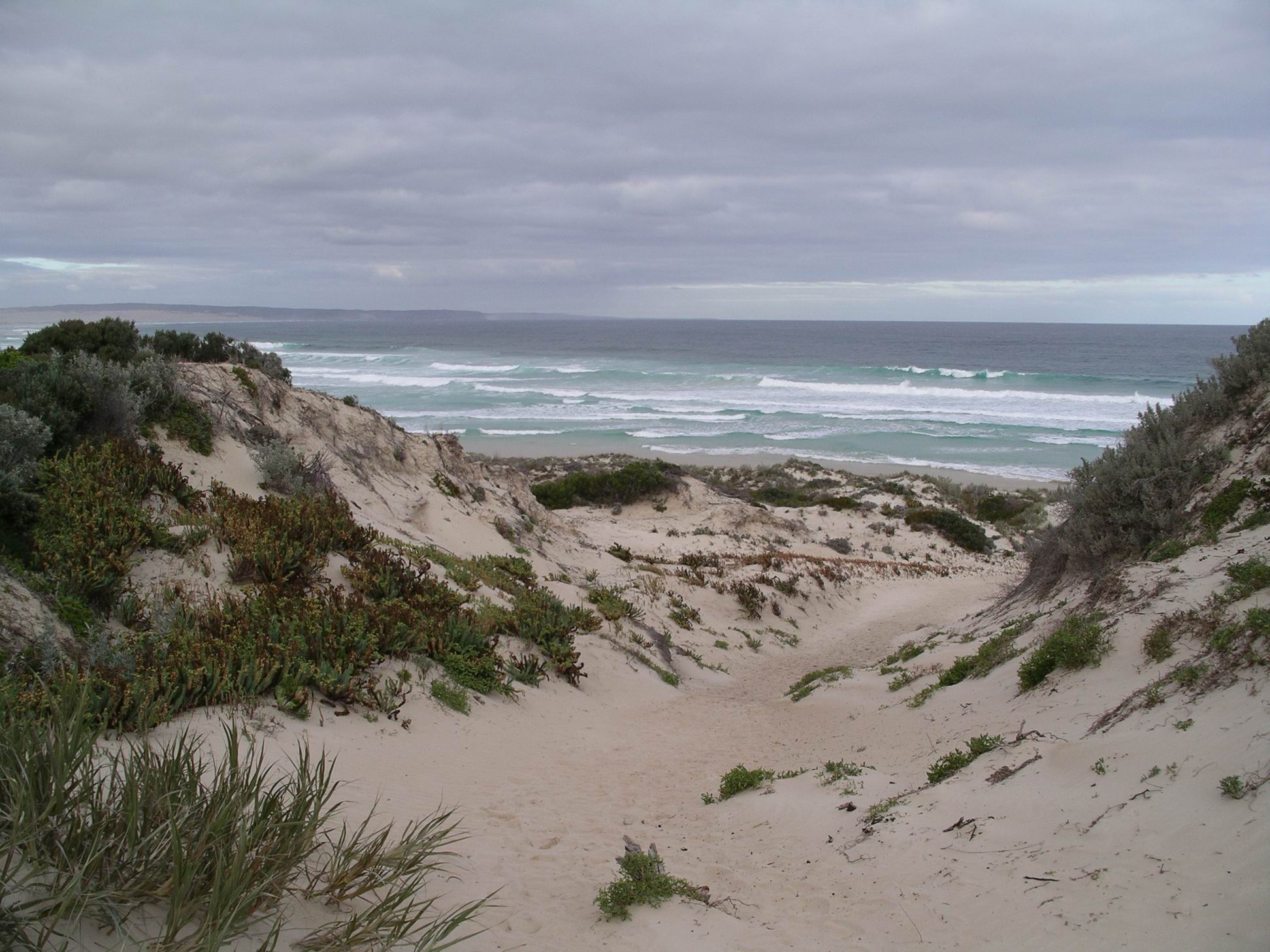
MONDAY MAY 17     PORT LINCOLN

Yesterday a new outfit came onto the next site. Someone in there snored really, really loudly, through most of the night. I felt besieged – snorers within and without.

There was some light drizzle overnight and a heavy sea fog. This morning, there was much condensation under the awning, and drips everywhere.

Straight after lunch, John phoned Telstra because his laptop was not working properly and would not connect to the internet. A couple of days ago, he received an email from someone unknown, asking him to check the attached resume. He didn’t pause to read the sender information, just saw “resume” and assumed it was from daughter, whose resume he’d helped with a few weeks ago. He opened it. Bad mistake. There was, apparently, nothing there, of course. Then his protection program told him his computer was under attack. Now, he couldn’t get onto the internet.

John spent a lot of time talking to Telstra. No solution was found. He didn’t tell them about the email he’d opened – too embarrassed! So now they think he has a problem with the modem.

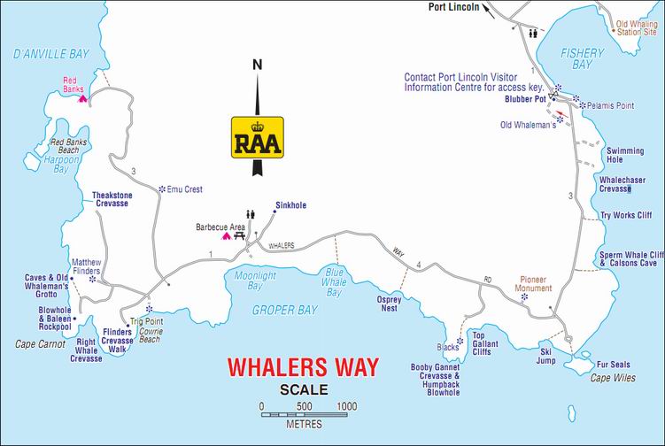
We drove to the town centre and returned the Whalers Way key. Yesterday, we’d arranged that, thinking we could well be back after  closing time at the Information Centre.

In the Lincoln National Park

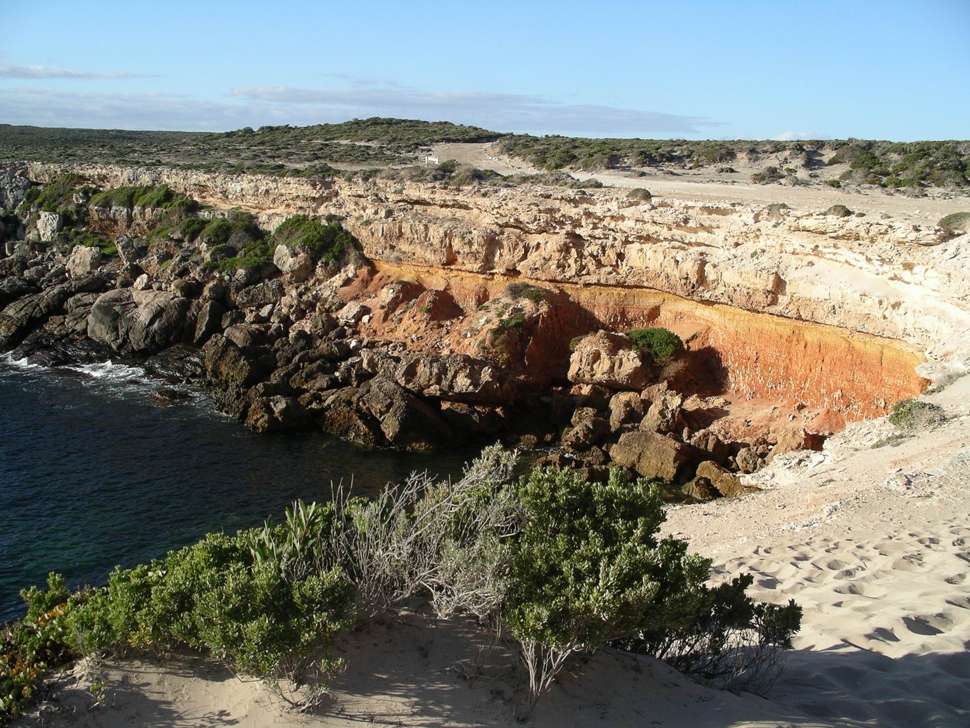
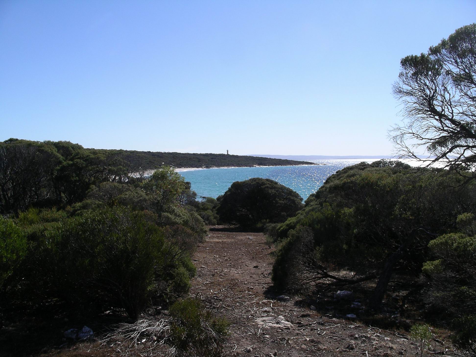
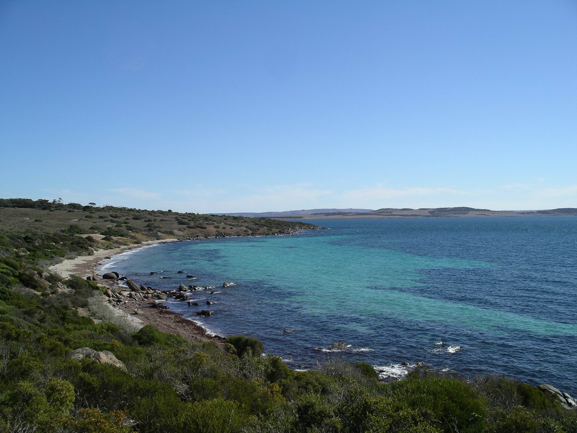
We walked the ship commemorative walk along the foreshore. Plaques along this pathway featured ships that had, at some time, been associated with the town and area. Boston Bay was a natural deep water harbour and so shipping had been an integral part of the town. The wharf complex still provided an import/export facility for the Eyre Peninsula – evidenced by the big grain silos there and the rail lines to the jetties.

Port Lincoln foreshore walk

As we walked, out attention was drawn by much bird noise. We could see flocks of seagulls following and trying to land on loaded trucks that were leaving a wharf. We realized that these trucks contained the food used at the tuna farms – obviously seagull food too.

Did a small grocery shop. Had coffee at the good coffee shop. It was unusual for John to partake of same – but he was outvoted this time. Had a Subway lunch.

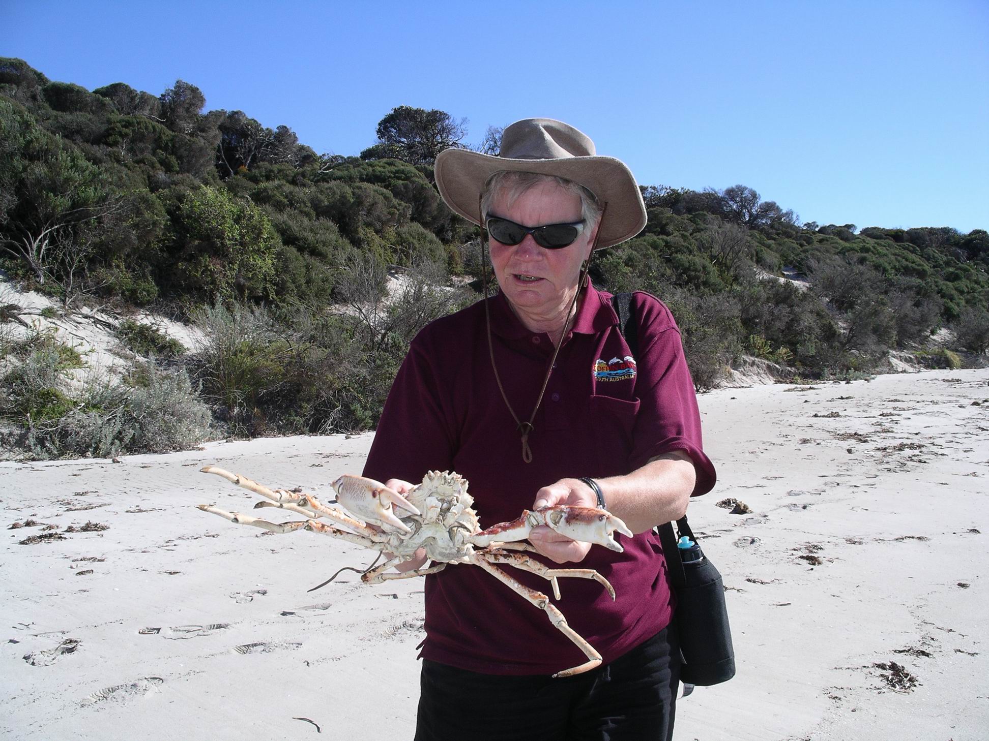
Bought up big at the seafood outlet shop – whiting, kingfish, tuna, all of which I then froze, and some oysters too.

We did a partial pack up of the camp. Took down our awning in case it got wet in the night to come.

Tea was an oyster entree for John, then we both had sausages and mash.

We had squeezed as much time in these parts as we could, given John’s appointment schedule, but now it was time to head for home. I planned our stages to provide some slack, not knowing how John would manage on any given day.


Leave a comment

2010 Travels May 16

SUNDAY MAY 16     PORT LINCOLN

I woke feeling somewhat better, but still not one hundred percent. However, the forecast was for a weather change for the worse after today, so it was decided we had to do the Whalers Way drive today.

Whalers Way is a route around some absolutely brilliant coastal scenery to the south of Port Lincoln. The gravel track is on private property and access is strictly monitored. As the name suggests, there are some associations with the whale hunting of the early colonial times.

Off we went to the Information Centre in town, where we paid $30 for our permit to do the drive, and were given an access key, and map.

Initially, our route was the same as a couple of days ago – to Tulka. But then we kept straight ahead, passing the Sleaford Mere Conservation Park. Sleaford Mere is a large lake, at the area where the Jussieu Peninsula – where the Lincoln National Park is – joins the main land area. If Sleaford Mere was a bit larger, the Peninsula would be an island.

There was whaling activity in these parts, briefly, in the period around 1840. The names of various features around the drive, developed by the local farmer on his land, are largely whaling related. The actual whaling “settlement” was at Fishery Bay, by which the drive starts. This was as far as open public access went.

Fishery Bay

At the entrance station was an old blubber pot, in which pieces of whale would have been boiled down for oil.

At the Information Centre, we had been shown which of the side tracks off the main drive, to various features, were able to be driven, with 4WD, and which were best walked the relatively short distances involved.

First stop was by a track to be walked, to the Swimming Hole. Or, to be more accurate, to the cliffs above same.

The Swimming Hole

There were superb coastal views, the cliffs, and a very small, smooth pool.

Despite its name, attempting to try for a swim there would have been a foolhardy exercise, given the cliffs and the unpredictable nature of rogue waves in these parts. But it looked lovely.

Next, we walked the track to Whalechasers Crevasse. As named, a narrow inlet.

Whalechasers Crevasse

It was clear that more than this one day would be needed for us to visit every named feature along the drive. Our aim was to get a fair sampling of the variety on offer, so we did not detour to every possible place. Ate our packed lunches at the designated picnic area.

Cape Wiles was where the coastline “turns the corner”. The coastal rock formations here were unusual – small triangular shaped islets of rock.

At Cape Wiles

Between Cape Wiles and Cape Carnot, to the west, the cliffs faced south.

At Cape Carnot we investigated the Blowhole and Baleen Rock Pool.

Baleen Rock Pool at Cape Carnot

From this Cape, the coast swung away to the north west.

Coast beyond Cape Carnot, and windfarm

The geology of the rocks here is such that the pounding of the huge seas of the Southern Ocean has been able to open up long narrow crevasses along lines of weakness, or joints in the rock. Theakstone Crevasse was a great example of this – so narrow you almost felt you could jump across it, so deep that common sense prevailed!

Theakstone Crevasse

We continued on to the end of the track, at Red Banks. On the distant hills, there was a large wind farm.

Red Banks

Red Banks had obviously been named for a distinct red layer of rock occurring in the otherwise white/grey cliffs of the area. There was a rough camp area here, open, exposed, on sandy gravel.

We wandered about there, for a while. I’d gotten tired, after lunch, and left M and John to do some of the walking to features without me, whilst I waited in the parking areas.

Whalers Way was a dead-end track so we had to return the way we’d come. The main track was a good firm gravel surface, with no tricky driving at all involved. I suspected that the lack of a sealed road, plus the cost, deterred many visitors to these parts from tackling it. That was probably good in conservation terms, preventing “over love”, but it was certainly an experience we would recommend to any of our friends visiting here.

It was a great day and worth every cent of the $30 fee.

We got back to camp about 5pm. Tea was whiting and fries.


1 Comment

2010 Travels May 15

SATURDAY MAY 15     PORT LINCOLN

I woke in the morning feeling poorly, after a restless night of bad dreams and disturbed sleep.

John had come to bed late, after playing games on his laptop, and that woke me. Then his “heavy breathing” kept me awake. It was a really cold night, too.

After I got up, couldn’t stop shivering. I didn’t feel like Weetbix – or even coffee, so decided I must be sick! Bugger – for a while there, thought I had whatever bug it was, beaten.

We took me off to a clinic, where a temperature of 40 degrees was measured, and urinary tract infection confirmed. A strong antibiotic was prescribed, with orders to drink lots of water and cranberry juice. We bought the necessary items and went back to camp.

I went to bed. John went to bowls. M went off for a drive and a walk in the National Park. They enjoyed their various afternoon activities.

M’s outfit about to take off – Port Lincoln

Food did not interest me, so John and M went and bought themselves KFC for dinner. Always a welcome treat for John!

An early night was had by all.


3 Comments

2010 Travels May 14

FRIDAY MAY 14     PORT LINCOLN

After breakfast, we set off to explore some of the Lincoln National Park.

We followed the coast around from Port Lincoln, along the Proper Bay road, to Tulka, then went east around Proper Bay Road to Cape Donington, at which point we were directly across the bay from the town, which we could see in the distance.

We left the vehicles at the parking area by the Cape Donington Lighthouse, and then walked the 6km Donington Circuit Walk. This took us over rocky outcrops. through coastal scrub and along some sandy beaches.

On the eastern side of Cape Donington
She wouldn’t be doing this if it was still alive….
September Beach and Cape Donington Light

From September Beach, the track cut back inland, supposedly to the other side of the Cape and then back to the start. However, we mislaid the track on the inland section, where there were lots of vehicle tracks, and no signage. So we short-cut the last part, walking up the main road instead.

We probably walked about 5kms in all.

After that foray, drove around to Fishermans Beach and ate our lunch there.

Fishermens Beach

The coves and beaches, and rocky points, out here, were really pretty.

Drove around past Spalding Cove and Surfleet Cove, to the parking area below Stamford Hill. A short walk track went up to the top of the hill – only about 500 metres – where there was a monument to explorer Matthew Flinders. John was very tired by now, so we didn’t do the Hill walk, but watched birds whilst M went off and did the walk.

We got back to camp about 4pm, after a great and scenic day out. The Lincoln National Park was definitely worth visiting – for day trippers like ourselves, or for campers. As with Coffin Bay National Park, if we’d had more time, we would have thought very seriously about bringing the van out and staying a few days in the Park.

Tea was kingfish dipped in tempura flour, and fries. Very nice fish. The availability of good seafood was another plus of staying in these parts.


1 Comment

2010 Travels May 13

THURSDAY MAY 13     COFFIN BAY TO PORT LINCOLN   45kms

Despite prior performances. we were packed up and in Port Lincoln by 10.15am.

On the way out of Coffin Bay, we drove up to the lookout over the town and surrounds, knowing that there was plenty of room up there for the rigs.

Coffin Bay township from Lookout

The vegetation around the lookout had really grown up since last we were there.

M caught another mouse last night, so – hopefully – that cleared them out of the Troopy.

The Port Lincoln Caravan Park was a big one, but it had some strange sites. The park was on a hillside that sloped down to the sea, which made for some magic views. Sites were terraced down the slope, but not all of them were even.

On the phone, I had said that we had an 18 foot van – which we did, if one counted the drawbar. I didn’t know if the Reception people had no concept of size, or didn’t know their sites, or just didn’t care – or all three! We had to do a lot of manoeuvring about, to fit onto the site we were allocated, which sloped from back to front, and sideways too, for good measure. Even with a block of wood under one wheel, we would still be sleeping heads downhill. There might be problems hitching up again, as the car and van would be on quite different levels.

M was able to fit her tent on the site allocated, next to us, but there was no room for the Troopy, except for parking it on a very small site next to her.

We should have walked down and inspected the sites, before taking them. You would think we had learned that basic precaution by now. But we had so rarely had any problems, especially in a big and popular place like this, that we had become complacent.

Up the hill from us were some rows of drive through sites. They had easy access, and great views, but there was not enough room for them to put out awnings. A strange park indeed.

The cost of our site, after discount, was $23.40 a night.

The price for the wonderful  views across the bay was that it was windy, most of the time.

John went off to bowls. I did a load of washing, pegging it out on the line very firmly!

Today, I felt quite well again. All a bit of a mystery.

M and I walked the Parnkalla Trail – a walking trail that follows the coast from the Marina around to the port area. After a little detour around the main wharf area, we were back on the foreshore walking track, to the town centre. It was a pleasant 5km walk to get from camp to the centre.

Port Lincoln with caravan park location shown (Google)

We bought an excellent coffee at a cafe and sat taking in the beautiful outlook over the bay.

Walked a more direct route back to camp, via streets, but what the map didn’t show us was that it included a big hill. We must have walked about 9kms in all. The soles of my feet were sore, and I had a back ache. Couldn’t walk all day like once I could!

John got back from bowls about 4pm, having enjoyed his game.

It got even windier later in the afternoon, and turned really chilly.

Tea was pasta with a sauce I made up, based on mushrooms, ham and cream.


Leave a comment

2010 Travels May 12

WEDNESDAY MAY 12     COFFIN BAY

M and John were up and away early, to go to Port Lincoln to do the boat trip they had booked.

I was able to sleep in until 9am – a nice luxury. While I had the chance, gave the van a good clean and tidy, and then spent some time on the laptop.

The tourists got back about 2pm. They thought the cruise had been good value. The boat only took eight passengers at a time, so there was attention for all. They gained lots of snippets of interesting information, about Port Lincoln and its area, and about tuna farming. They got to taste some of the highly valuable sashimi tuna. Port Lincoln was reputed to have the greatest number of millionaires, proportional to its population, of anywhere in Australia – due to the tuna industry.

Whilst still in Port Lincoln, they went to a chemist to buy some alkalinizing stuff for me – a product that M said her friend had taken, last year, when she had the same affliction during their Canning trip. The chemist told them I absolutely had to see a doctor, so they’d found an appointment for me – at 11.15 tomorrow.

I was actually feeling a bit better today – last night might have been the turning point. So I didn’t think I needed to see a doctor. That appointment would make tomorrow’s schedule really tight, as we were planning on moving from Coffin Bay to Port Lincoln, and John was booked in for bowls at 12.30. So I phoned and cancelled the appointment.

I also phoned and booked us into the Port Lincoln Caravan Park for five nights. We would use that as a base from which to explore the Lincoln National Park.

Went for a final drive out to the National Park – to the Point Avoid area.

Explored the side tracks to Flat Rock, Golden Island Lookout, and Almonta Beach too.

Near Flat Rock
Flat Rock area
Avoid Bay Beach
Point Avoid Lookout – Price Island
Golden Island Lookout
Almonta Beach

We contemplated driving the very sandy track through the dunes to Gunyah Beach, but the afternoon was getting on. John and I had been there before, and M was not keen enough on the idea to be bothered going through all the tyre letting down rigmarole – so we passed on that one.

Coffin Bay dusk

Tea was chicken thighs cooked with a packet satay sauce, with rice. Despite his aversion to coconut milk, John really liked it.

Another really cold night.


Leave a comment

2010 Travels May 8

SATURDAY MAY 8     COFFIN BAY

The morning was foggy, again.

After breakfast, M was in her tent, opened a plastic container to get something, and a little hopping creature bounded out and exited the tent, heading for the nearest bushes. She couldn’t remember when that container was last open, so we wondered where that had originated?

The mouse in the Troopy was still disturbing M’s sleep. She sprayed a lot of lavender oil around in there, this morning. She thought she’d read somewhere that mice don’t like lavender, so was hoping it would now leave voluntarily. At least, she should have a calm mouse!

I walked to the shops and bought the Weekend Australian, and some leatherjacket fish cheeks – apparently a local delicacy. Would try them for tea, tonight.

John had been hoping to go to bowls here, today, but found out there was none on. With the day now free, we decided to visit Port Lincoln, about 30kms away.

Our first stop in the town was at a fish co-op sales outlet – it closed at midday, so we had to get in quickly. Bought prawns and oysters. Put them in the little esky lunchbox, with some ice.

We went to the very comprehensively stocked Information Centre and browsed there for a while. M and John booked to go on a boat tour on Wednesday, that would take them round Boston Bay and to the tuna farm out in the bay.The weather forecast for then looked as if it would be favourable for being on a boat. I wasn’t all that keen on the offering, so spent some money on a set of electro-plated little gumnut earrings, instead.

We meandered around the shops and along the foreshore parkland. Saw the statue of Port Lincoln’s famous Melbourne Cup winning horse, Makybe Diva, owned by a local tuna fisherman. She is the only horse ever to win three Melbourne Cups, and the only mare to win that race more than once.

Tribute to Makybe Diva. Port area in background.

Port Lincoln was very attractive and picturesque, with the sun shining. Like Coffin Bay, it was in a superb setting. It was first explored  by Matthew Flinders, as he charted the Australian coastline, and named for Boston in the UK. Back in the 1830’s, this area was originally a contender for the main settlement of the new colony of South Australia, but was rejected in favour of what became Adelaide.

These days, it is a centre for tuna farming and deep sea fishing, and a terminal from which grain s from the hinterland are loaded on to ships, and fertilizers for the area’s farms brought in by ship.

Drove up to Kirton Point Bowls Club, where John found out about a game of bowls next Thursday afternoon.

We did some of the Tourist Drive suggested in the information brochure – to the very large Marina, home of the largest commercial fishing fleet in the southern hemisphere.

Port Lincoln Marina

There, we walked around and looked at boats – naturally! What else is there to do in a marina?

Lots and lots of serious fishing boats
……and a very nice recreational fishing boar

Since it was just a short distance further on, we drove to Billy Lights Point. This gave a good view of Boston Bay, and the large Boston Island off Port Lincoln. This island was a privately owned farm, grazing sheep. I wondered about the origin of the name, Billy Lights Point – maybe it was named for Colonel William Light, the first Surveyor General of SA, the man who rejected Boston Bay in favour of Adelaide.

Looking across Boston Bay to the large Boston Island – from Billy Lights Point

By this stage, John had hit the wall, so we went back to Coffin Bay. He watched bowls on TV for the rest of the afternoon. M and I sat outside, reading and chatting.

For tea, had half a dozen oysters as an entree. Lovely they were. Then the leatherjacket cheeks, dipped in tempura flour and fried. They were really yummy.


Leave a comment

2000 Travels December 6

WEDNESDAY 6 DECEMBER     COFFIN BAY

We left camp at 8am, for the 50km drive into Port Lincoln.

After dropping Truck at the service centre, we had to fill in four hours, wandering around the town.  We did some shop browsing. Bought a new telephone handset and a cordless extension to match – at least we will be sure of having a phone when we get home.

John bought a new Harry Potter book.

We had lunch early – more to rest our feet than because we were really hungry.

Then did some supermarket shopping – not much, just what we could carry.

Truck was ready at 1pm.

We then drove around to have a more extended look at the town, which is clearly growing and seems very attractive. Drove out to the new-ish Marina Cove development – very upmarket!

We found a wholesale fish shop and bought some whiting.

Tea was hamburgers. Some of the magpies that regularly visit the van, begging, scored some mince, this time.

12-10-2000 visitors.jpg

Maybe if we sing, there will be supper?

V phoned. They have bought twenty acres near Bendigo, with house. No power or water laid on, but there is a pet donkey! Obviously, she was thrilled.

Tomorrow should be our last day here, but it is so pleasant that we decided to extend for another three days. That really has to be the limit.