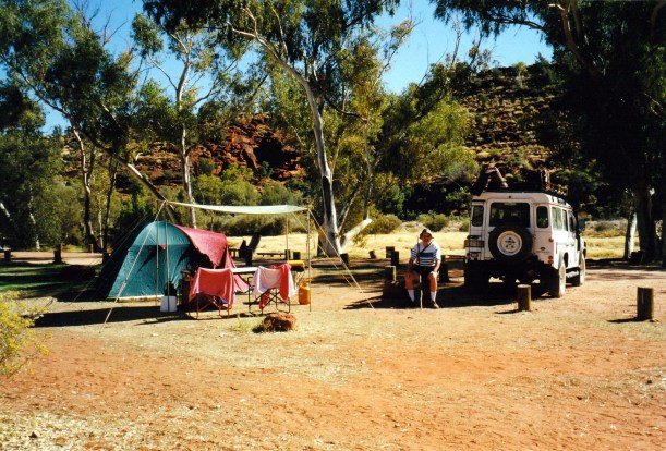
THURSDAY 12 AUGUST STUARTS WELL TO CHAMBERS PILLAR 167kms
We were up at 7.30am, after a good night’s sleep, despite the occasional waft of odour from the camel farm next door.
Again, it took us two hours to breakfast and pack up – this is starting to look like the norm.
John topped up the diesel at the Roadhouse – $1.00 cpl.
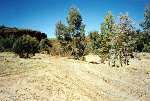
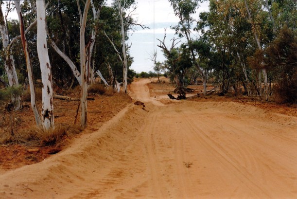
Took the Stuart Highway south, for 10kms, then turned east onto the unsealed High Stock Route. This road appeared to have been recently graded and was in quite good condition, apart from a couple of bulldust patches that pulled Truck to one side when we ploughed into them.
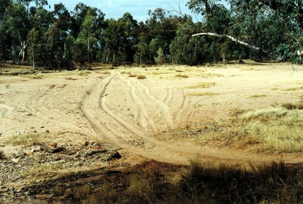
And this road had gates! Lots of gates. I must have opened and closed at least eight of the things, in about 60kms.

Just one of many gates on the Hugh Stock Route
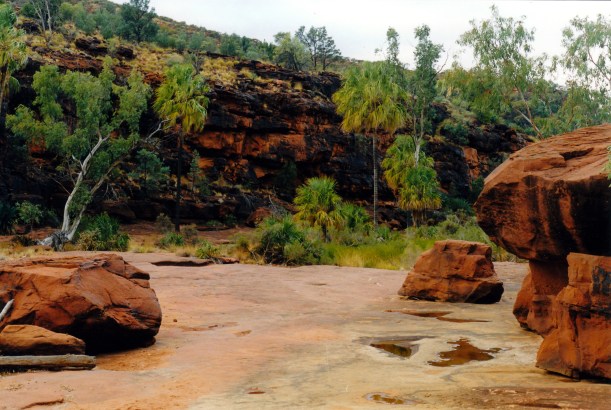
As the name suggests, this route roughly parallels the Hugh River, for some of the way, but at too great a distance to really see it. After nearly 40kms, we crossed the Adelaide to Alice Springs rail line – carefully stopping and checking that there were no trains looming in the distance. We drove beside the railway for a short distance, before crossing the Hugh River bed; the nearby rail crossing was on a nice high bridge.
After another 25kms, came to the junction with the Old South Road – also unsealed – and turned south. The road was alright.
It was some 33kms to Maryvale Homestead. For a little way, the road ran close to the alignment of the Old Ghan rail route, before it swung away to the SE. We did not sidetrack to visit the Rodinga siding ruins at this point, being focussed on getting to today’s destination of Chambers Pillar.
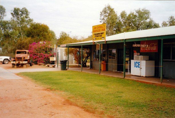
We stopped at the store at Maryvale and bought biscuits and a tin of smoked oysters – these would be lunch. Bought a map, and some coke. All this cost $25. At least, we were able to use Visa for it.
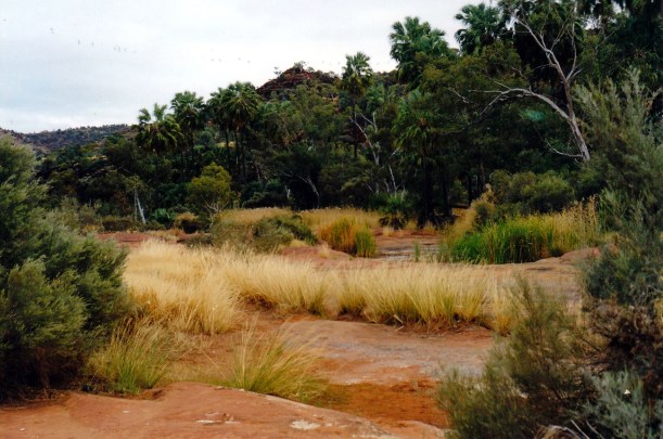
Now we deviated from the Old South Road onto the track to Chambers Pillar, to the south west of Maryvale. After a few kms, stopped at the crossing of the Hugh River to eat our impromptu lunch. Buying the makings at the store saved having to unpack anything in Truck, apart from the board, plates, knife, tin opener that I carry in the picnic basket on the back seat, with the thermos and drink makings.
The dry Hugh River bed, near Maryvale, where we stopped for lunch
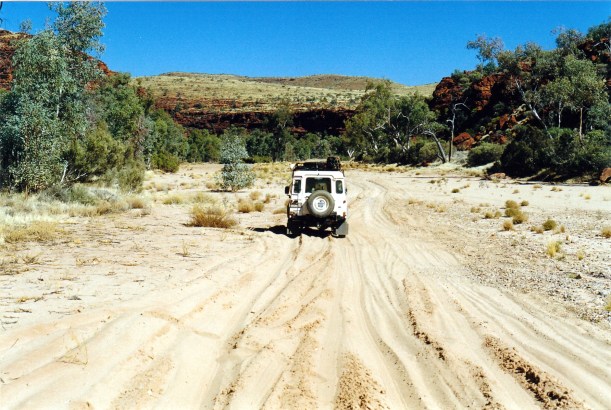
After that, the track varied from good to challenging. There were bulldust patches at times.
We stopped to add to the firewood supply that we already had tied up on the roof rack.

Gathering more firewood from beside the track
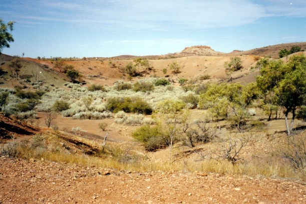
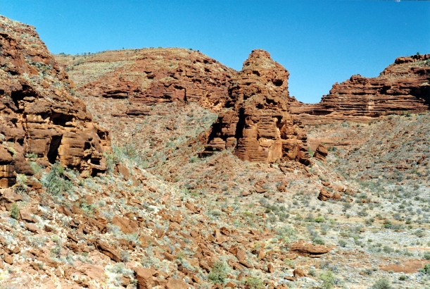
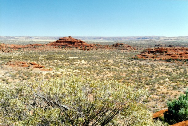
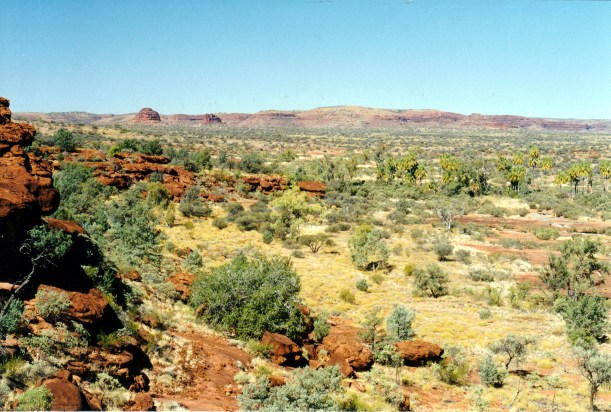
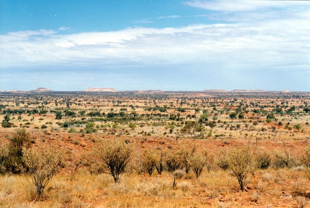
The crossing of the Charlotte Range, that other people had told us was hard, seemed easy enough to us. From here, we caught our first look at Chambers Pillar – distant, but quite clearly an impressive, slender column. There were surrounding flat topped hills, just like we’d seen further south, on the Oodnadatta Track.
First look at Chambers Pillar, on the centre horizon. Track is indicated by the red line in the sand
The sand dunes that came after the Range were more challenging. This was the only section of the track in where we might have had problems, had we tried to bring the van in here. John had to have two attempts at one dune, after taking the wrong route the first time.

Tackling a dune. The Range crossing is behind us on the horizon
In places, the track was quite good
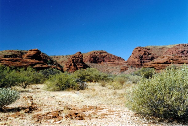
Chambers Pillar is a sandstone column that stands about 50 metres above the surrounding country – therefore it has been quite a landmark for earlier travellers and explorers. The first to see it, and name it, was John McDoull Stuart, in 1860.

Chambers Pillar
The colours of the Pillar, and the nearby eroded landforms, remind me of Rainbow Valley, so I am guessing that the same factors caused there to be more resistant red sandstone at the top.
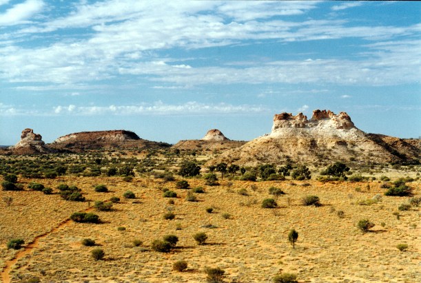
Window Rock (left) and Castle Rock (right) are close by to Chambers Pillar
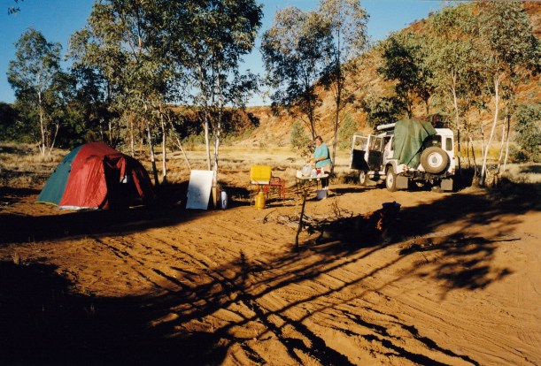
We reached the camp area, 45kms from Maryvale. This is near the base of the Pillar. The camp area is small, but very pleasant, with desert oaks that give some shade. It is a very scenic place to camp, between the Pillar and Castle Rock, which is even more impressive, I think. It has greater complexity and therefore more moods as the light changes.

Castle Rock and part of the campground
We paid $5 in camp fees – honesty box system. There were several other lots of campers there, so we had no real choice about where we fitted, but we did like the bay we got into. We had a fire pit/BBQ plate, a low table platform, and there were pit toilets for the campground. Very nice.
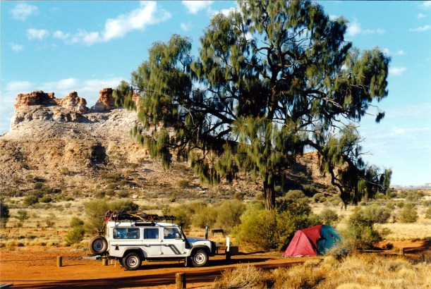
Our camp at Chambers Pillar, with Castle Rock behind
Set up as quickly as we could, then walked to the Pillar, which was only about 500 metres away. We walked around the base and scrambled up the scree slope to the base of the rock pillar, proper. This was a steep little climb.

We had to scramble up this loose scree face to reach the base of the Pillar
Some workmen were there, building a walkway around the western face at the base of the rock part of the Pillar. The workmen were camping here too, accounting for why the campground seemed fuller than we’d expected.
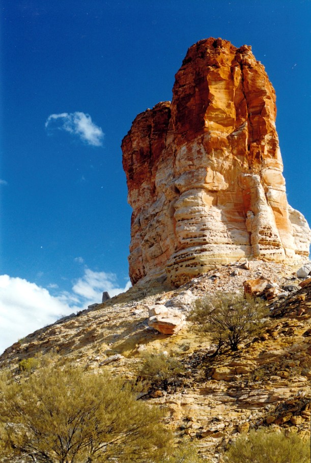
The eastern face of Chambers Pillar
Apparently the platform is needed due to erosion by tourist, like us. Hopefully, it will stop these same tourists from carving their initials into the Pillar – we saw too much evidence of that. What is it about some people that they must do moronic stuff like that?
The platform will impinge on photos of the sunsets, though. It is a very photogenic place. We were lucky to have blue sky, with just a few bits of cloud, for interest, without spoiling the light.

The western face of Chambers Pillar, and the partially built walking platform at its base
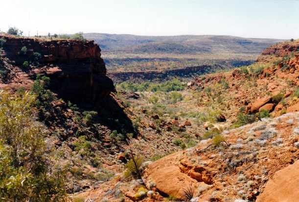
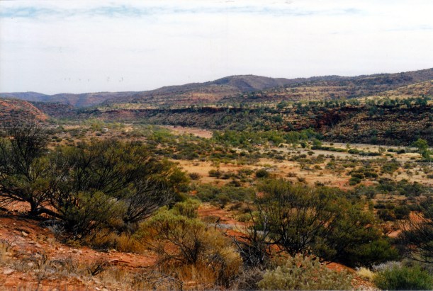
There were great views from the base of the Pillar, out over the surrounding country. We looked for a while in the general direction we plan to head after this. It looks big country! In a place like this, I feel very small and insignificant.

The view from the base of the Pillar, towards the south, where we are going next
We wandered about for a while, taking photos. There was no shortage of material as different angles and vistas opened up. Did some more of this, later, as the sun was going down – wonderful colours.

Late afternoon sun on Window Rock
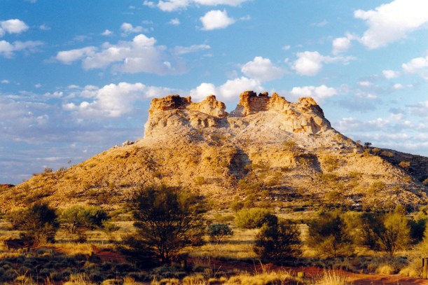
Castle Rock – late afternoon light over the camp ground
John did the radio sched with Alice Springs base.
Tea was a packet minestrone soup, and a Hawaiian tofu stir fry. Quite enough to satisfy.
We noticed lots of predatory crows in the campground – have to be careful not to leave anything unguarded that they might want to investigate.
The Chescold fridge appears not to be working! We disconnected it from the gas, emptied it, turned it upside down and shook it for a while, then talked nicely to it. Put it all back together again and now can but hope. Past experience has taught us that sometimes gases or chemicals or something, settle and compact on rough roads, and a good shake up is all that is needed. It will be a real nuisance if it has decided to really break down.
After tea, John worked on more map and GPS entry. I just sat about, taking in the solitude and the night noises.
Later, it seemed the fridge was working.
The night was cool, but not cold.

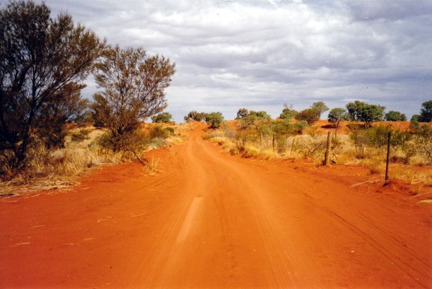
The route to Chambers Pillar