TUESDAY 22 MAY ALGEBUCKINA TO ARKARINGA HS 150kms
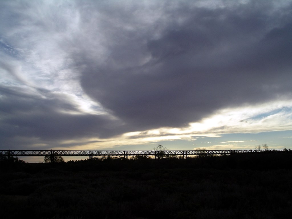
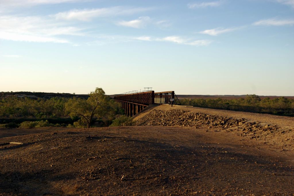
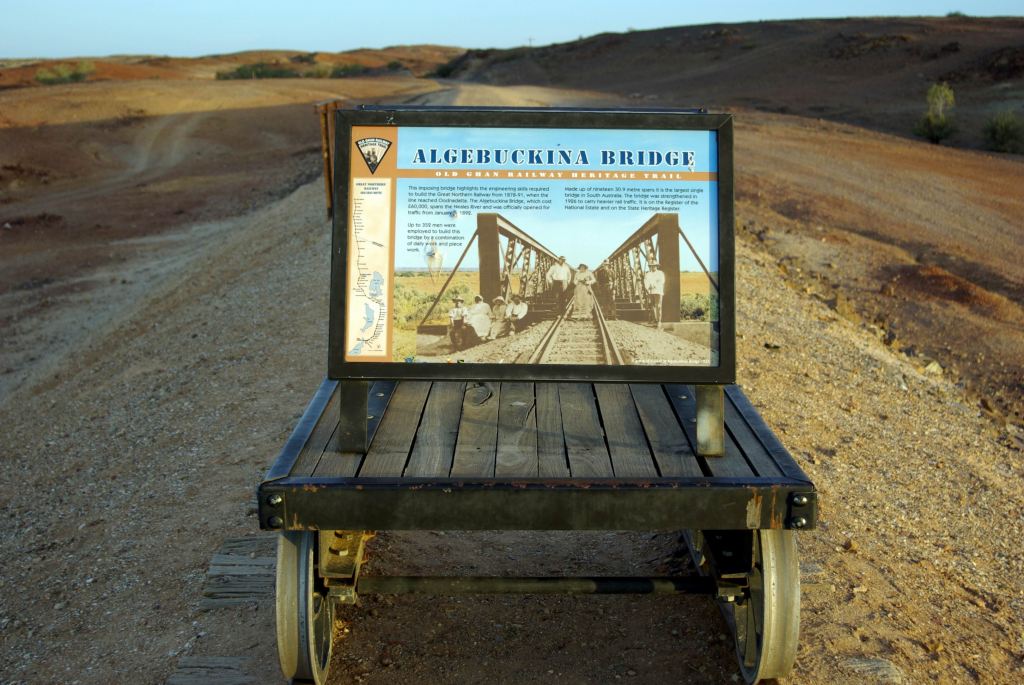
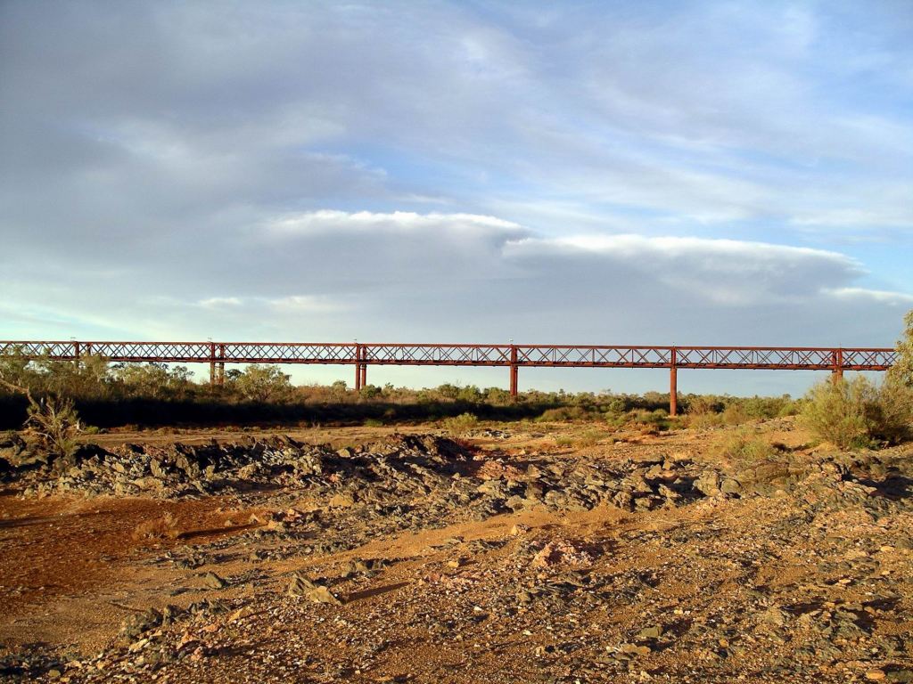
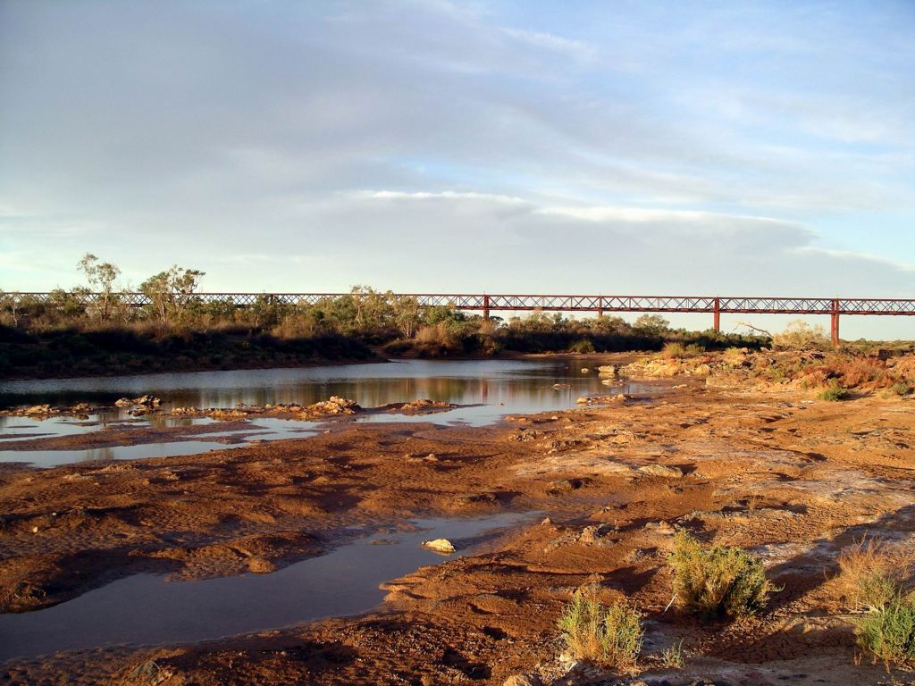
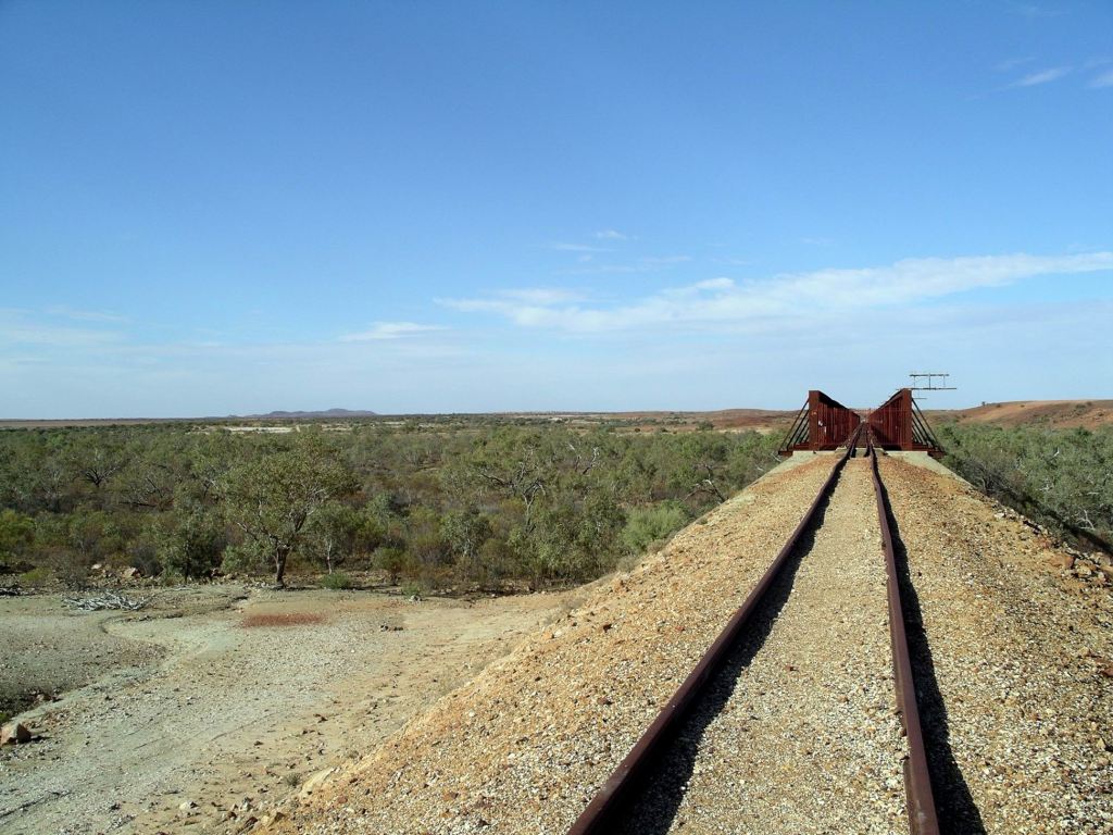
After a fairly early breakfast, we walked back to the bridge, to view it in a different light from last afternoon. Spent some time wandering about there and also around the northern end of the bridge.
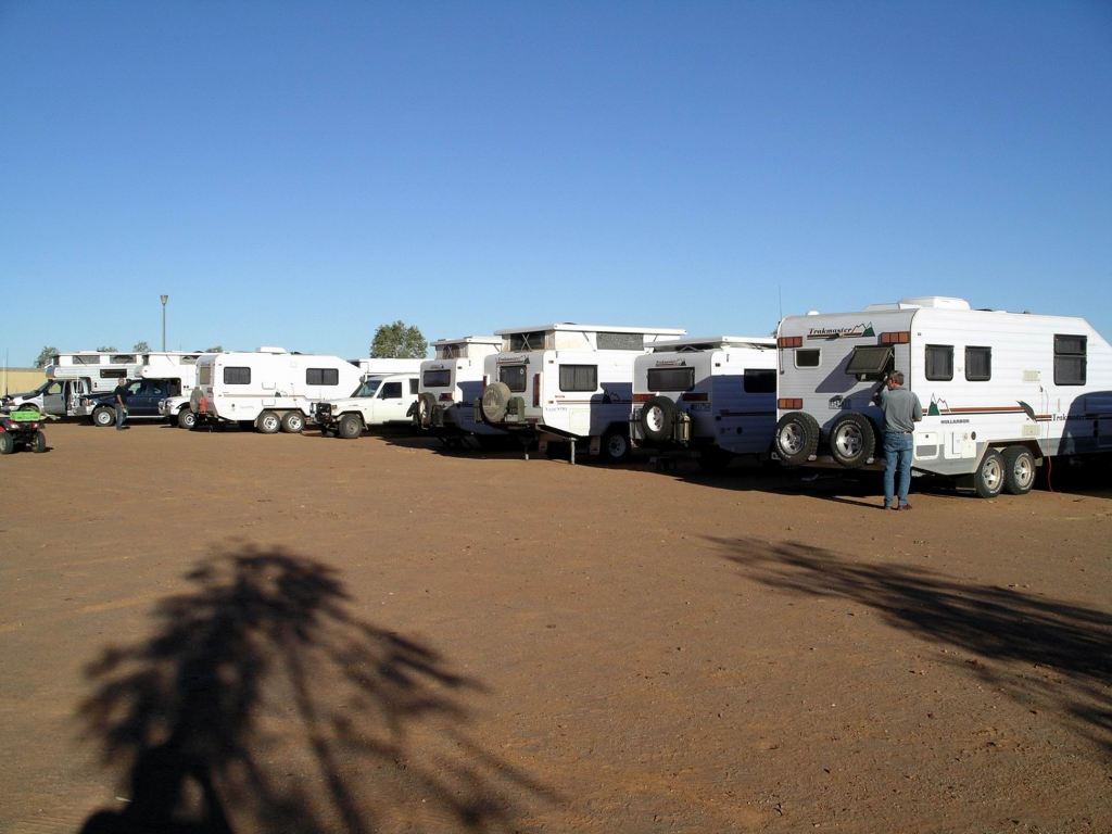
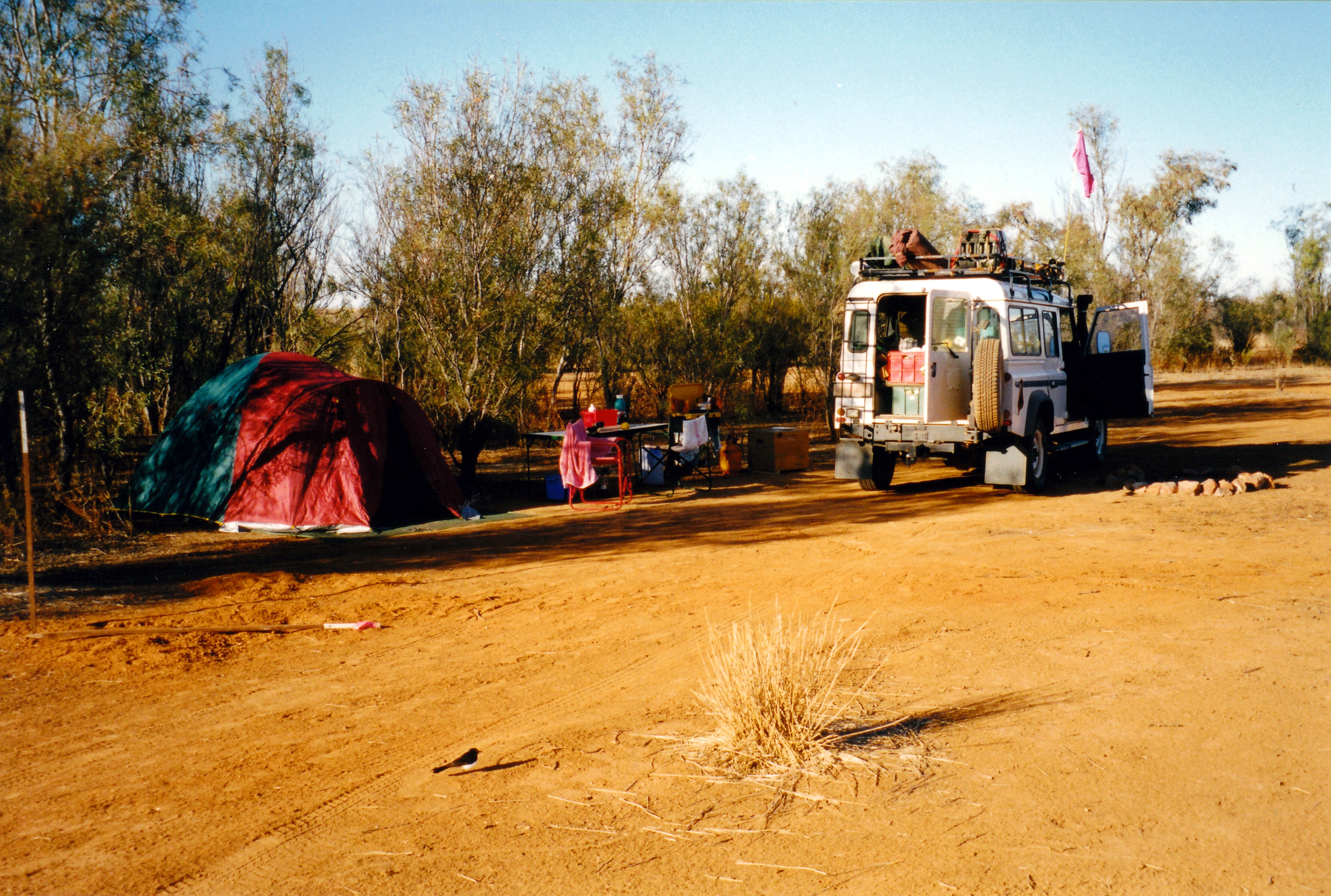
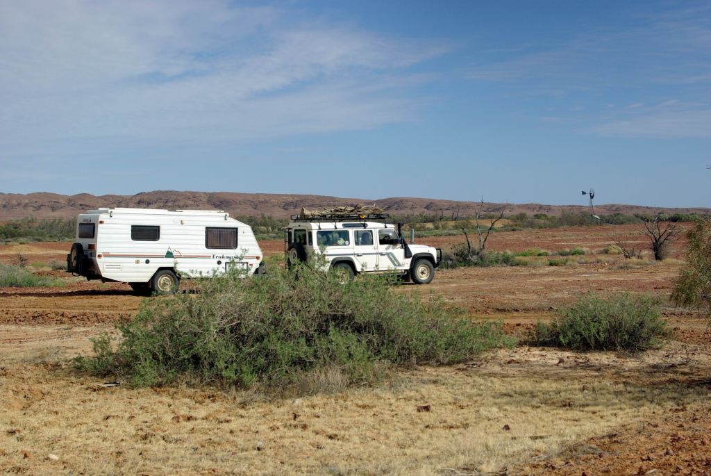
The Trakmaster group was away from camp well before us, as a result. That pleased us – meant they would probably be clear of Oodnadatta before we arrived there. We would not be tailing along in their dust.
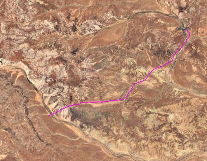
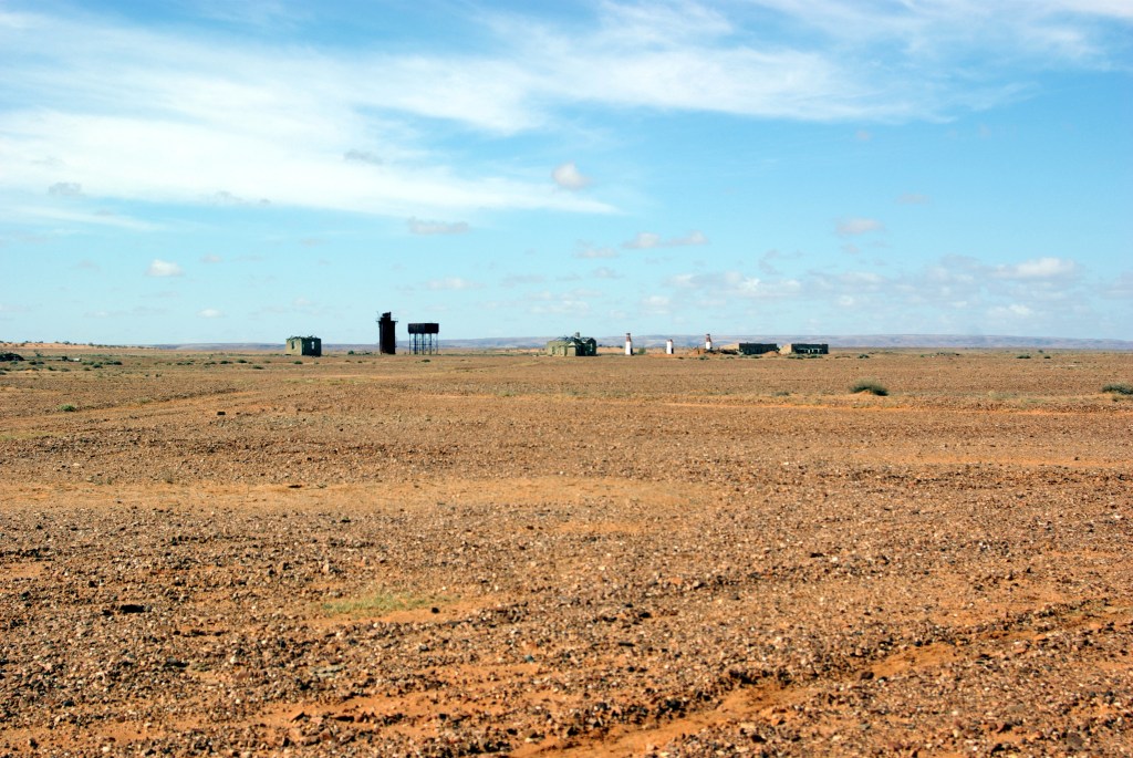
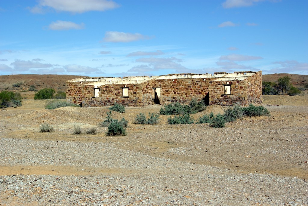
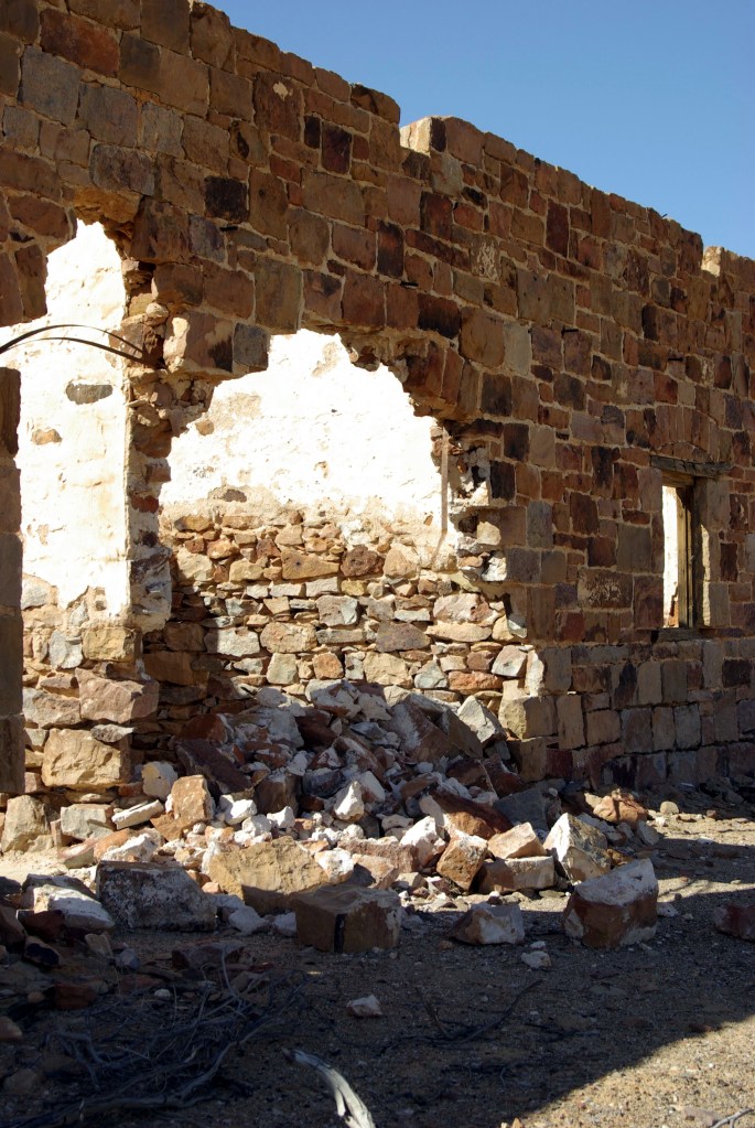
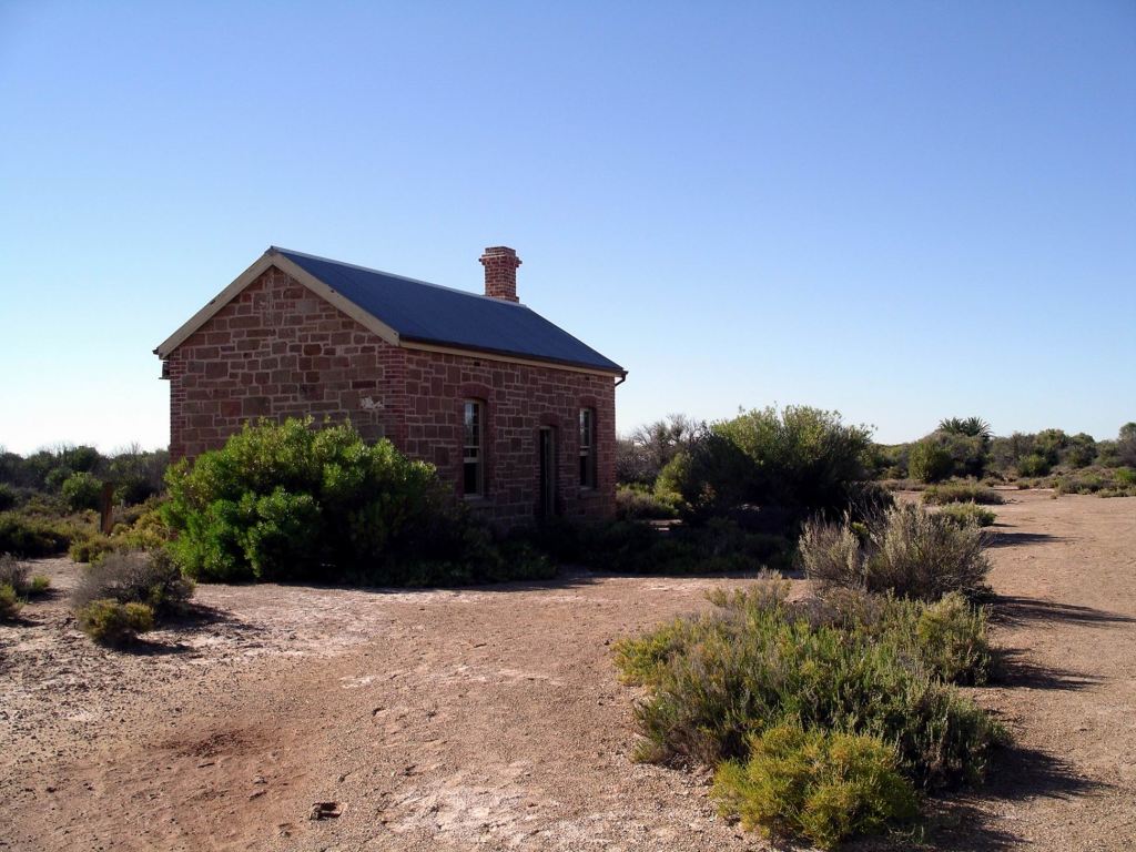
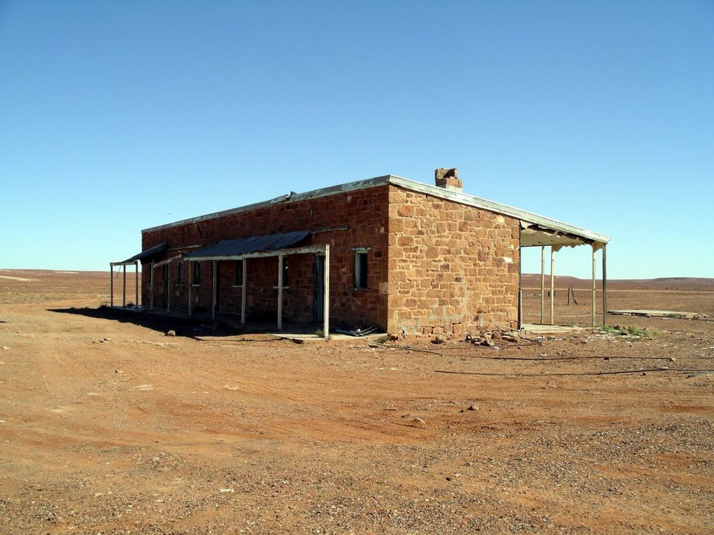
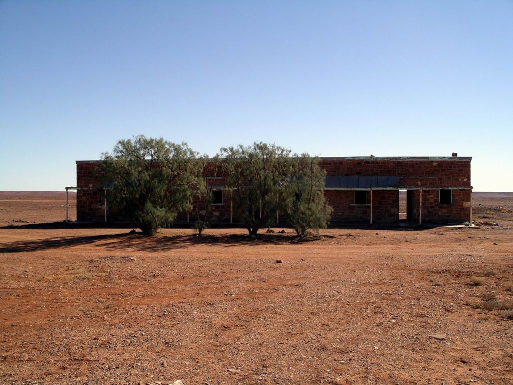
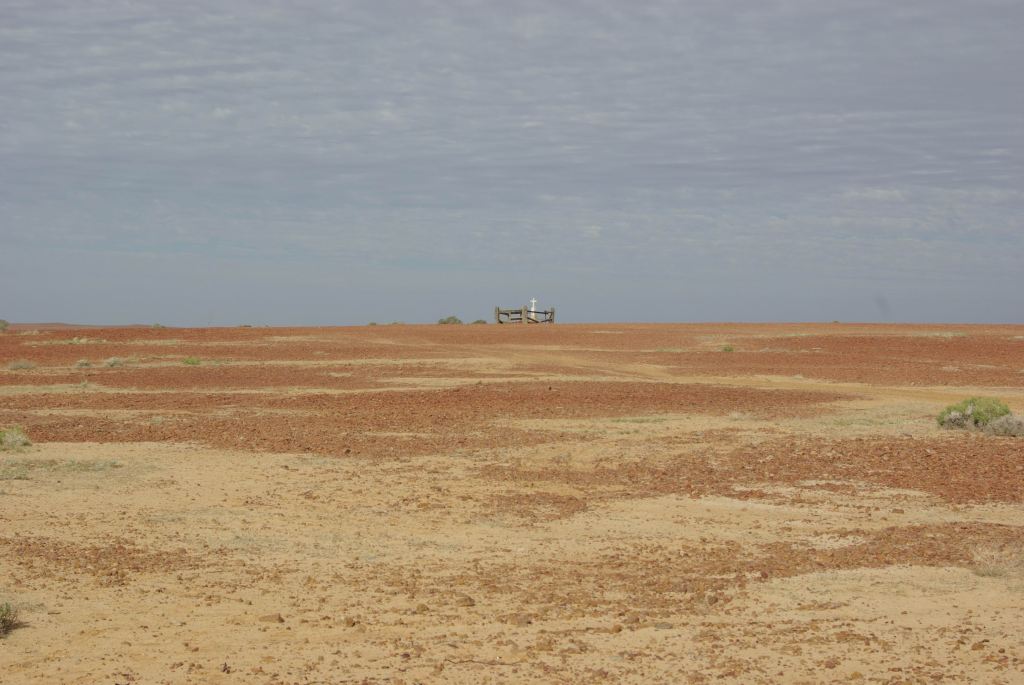
We only had about 60kms to go, to Oodnadatta. Along the way, stopped to have a look at the Mt Dutton Siding ruins.
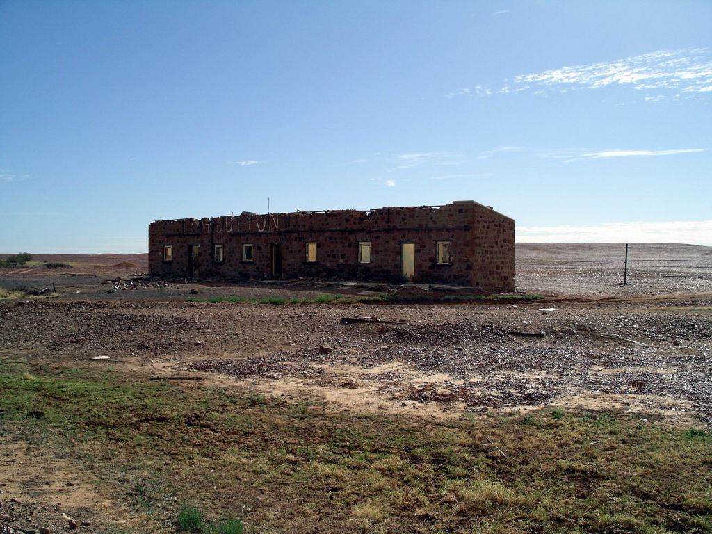
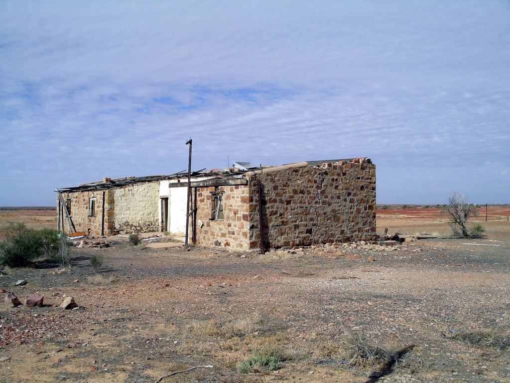
There was one lonely grave here – evocative of the loneliness and isolation of the place.
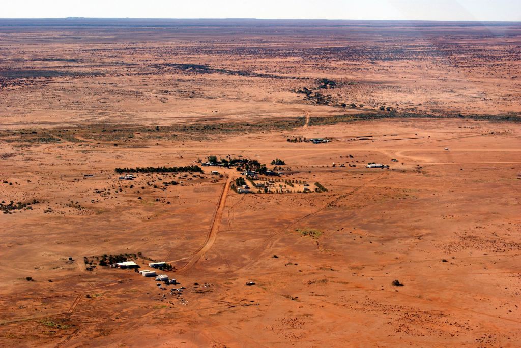
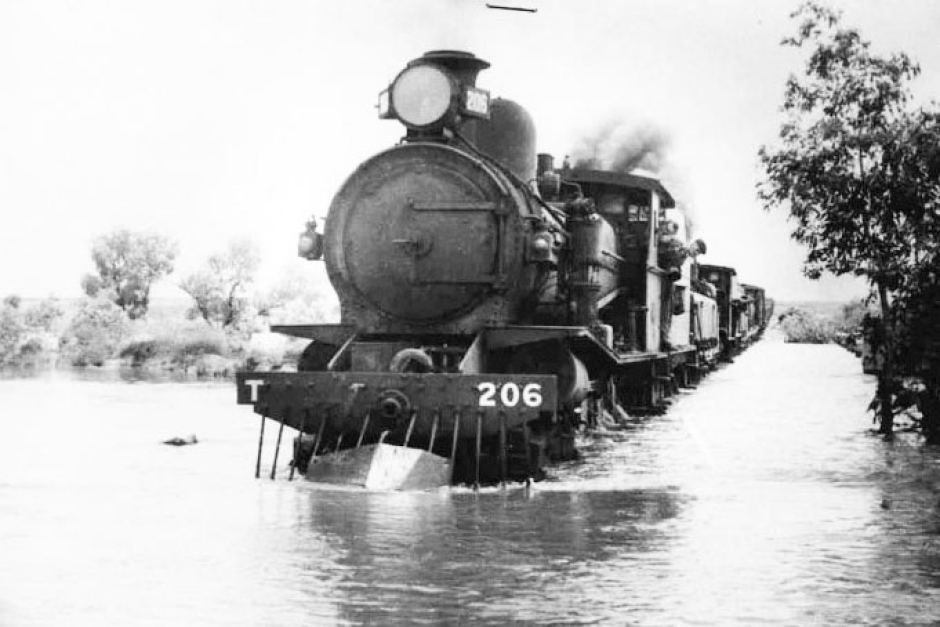
And so on into Oodnadatta, like Marree, once a significant settlement on the Ghan Railway line. Now it had shrunk to having about 200 people living there, half of them indigenous.
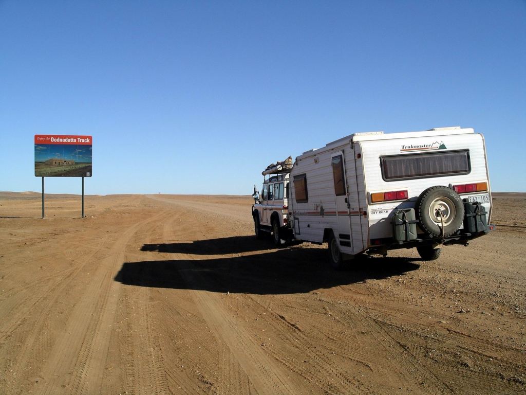
A lot of travellers – like us – end their time on the Oodnadatta Track at the township. and from there head west to the Stuart Highway on unsealed roads either to Marla or Cadney Park or SW to Coober Pedy. The Old Ghan Track north of Oodnadatta becomes rougher and more of a challenge to vehicles, heading up to Finke and thence on to Alice Springs. We had driven part of that section back in 1999, as part of our trip across the Simpson Desert.
We refuelled at the iconic Pink Roadhouse at Oodnadatta – $1.67cpl.
The establishment of this Roadhouse arose from an interesting history, which originally involved Adam and Lynnie Plate walking down the Ghan Railway track, with camels, in the 70’s. The building and the vintage car in front of it, were painted pink to attract custom, and to stand out in people’s minds. Adam Plate was instrumental in the Oodnadatta Track being so named and becoming a must-do on the list for adventurous travellers. They have done travellers to these parts a great service by placing their distinctive pale pink direction signs all over remote northern SA. We’d found these of great help when we drove across the Simpson Desert’s Rig Road, in 1999.
We browsed the tourist offerings in the Roadhouse. John bought Pink Roadhouse Tshirts for his two grandsons, and a soft, life-sized toy galah for the younger one’s birthday, had them packaged up and mailed from there. I wondered how many mail items had ever been received in Brussels, from Oodnadatta? I bought a stubby holder. M bought a soft toy blue heeler dog – destined to keep her company in “Bessie”, her Troopy.
Despite what we had heard on the road reports, the Road Conditions sign at Oodnadatta said that the Cadney Park road was closed! Bugger!
Then, at the Roadhouse – the source of all accurate information for these parts – we were told that was wrong. The road really was open, but the policeman with the key to change the sign had gone to William Creek for the Cattle Drive start.
So, feeling reassured – and legal – we ventured forth.
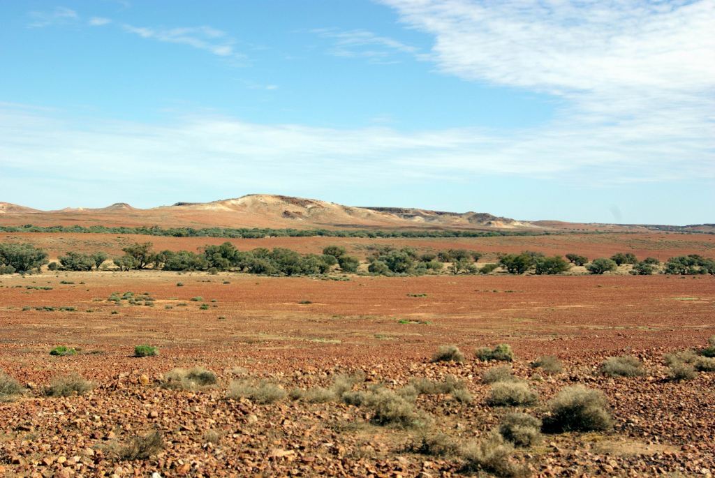
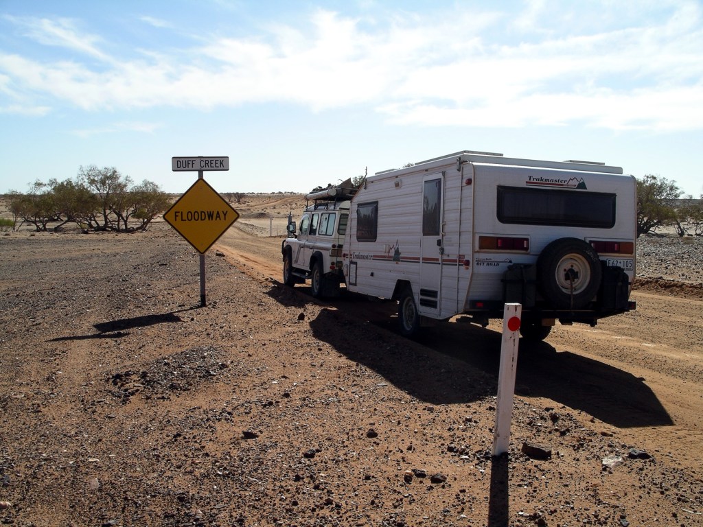
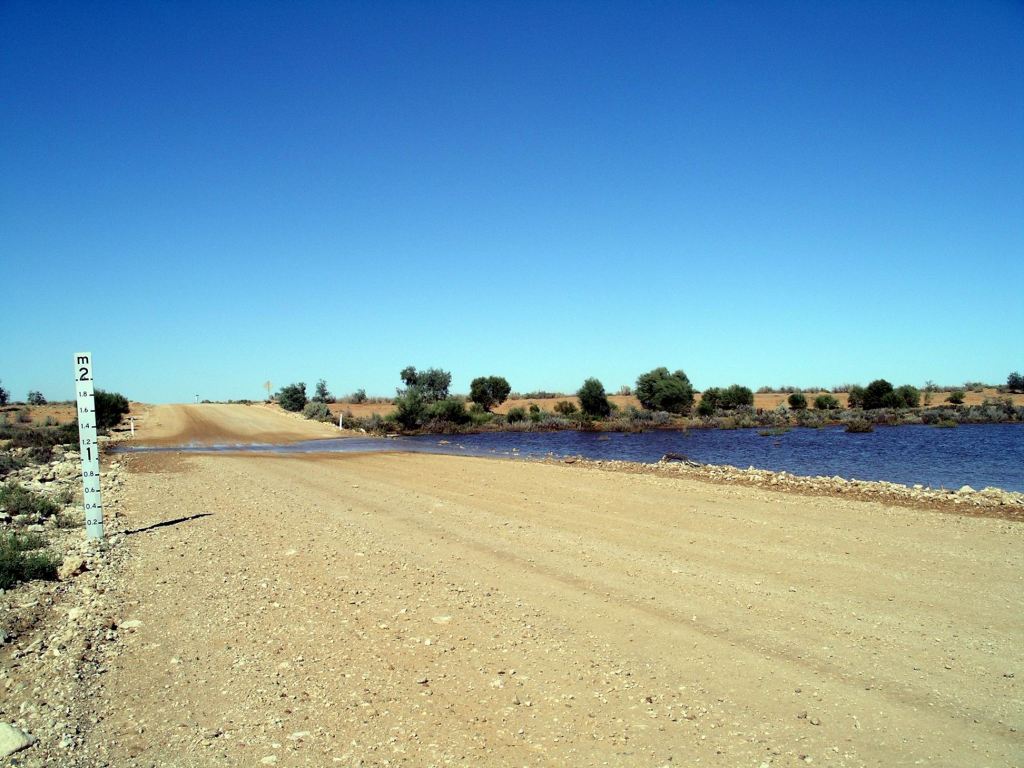
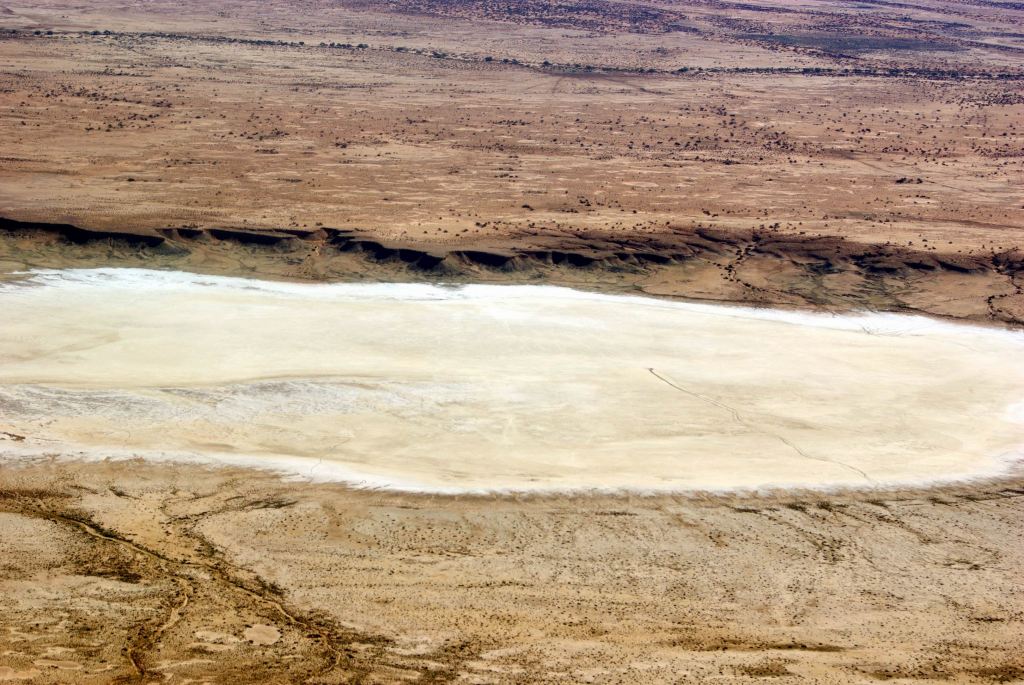
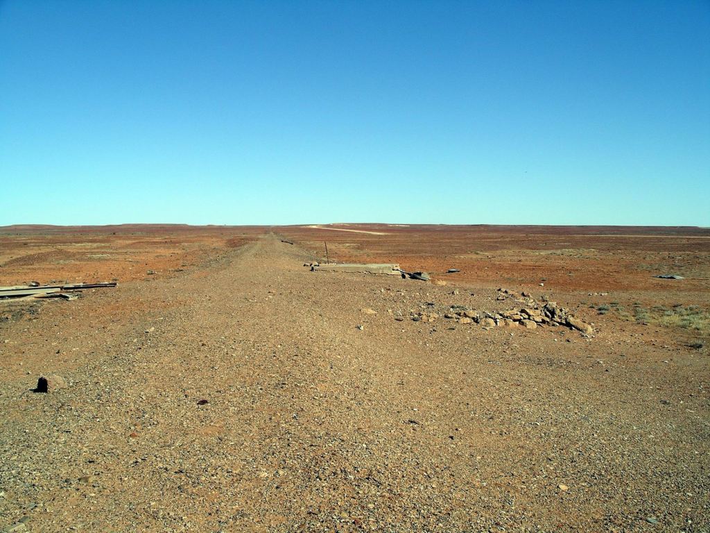
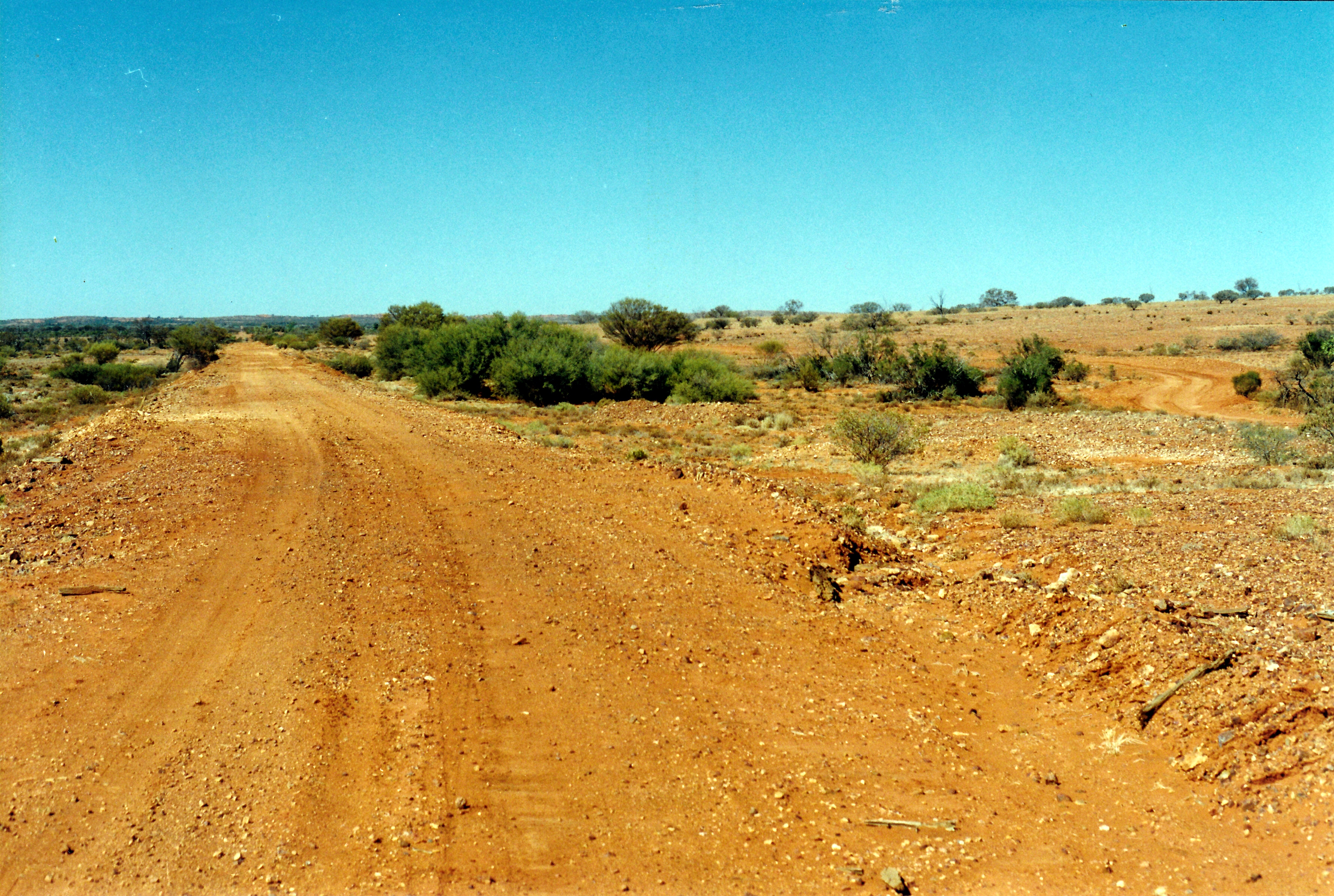
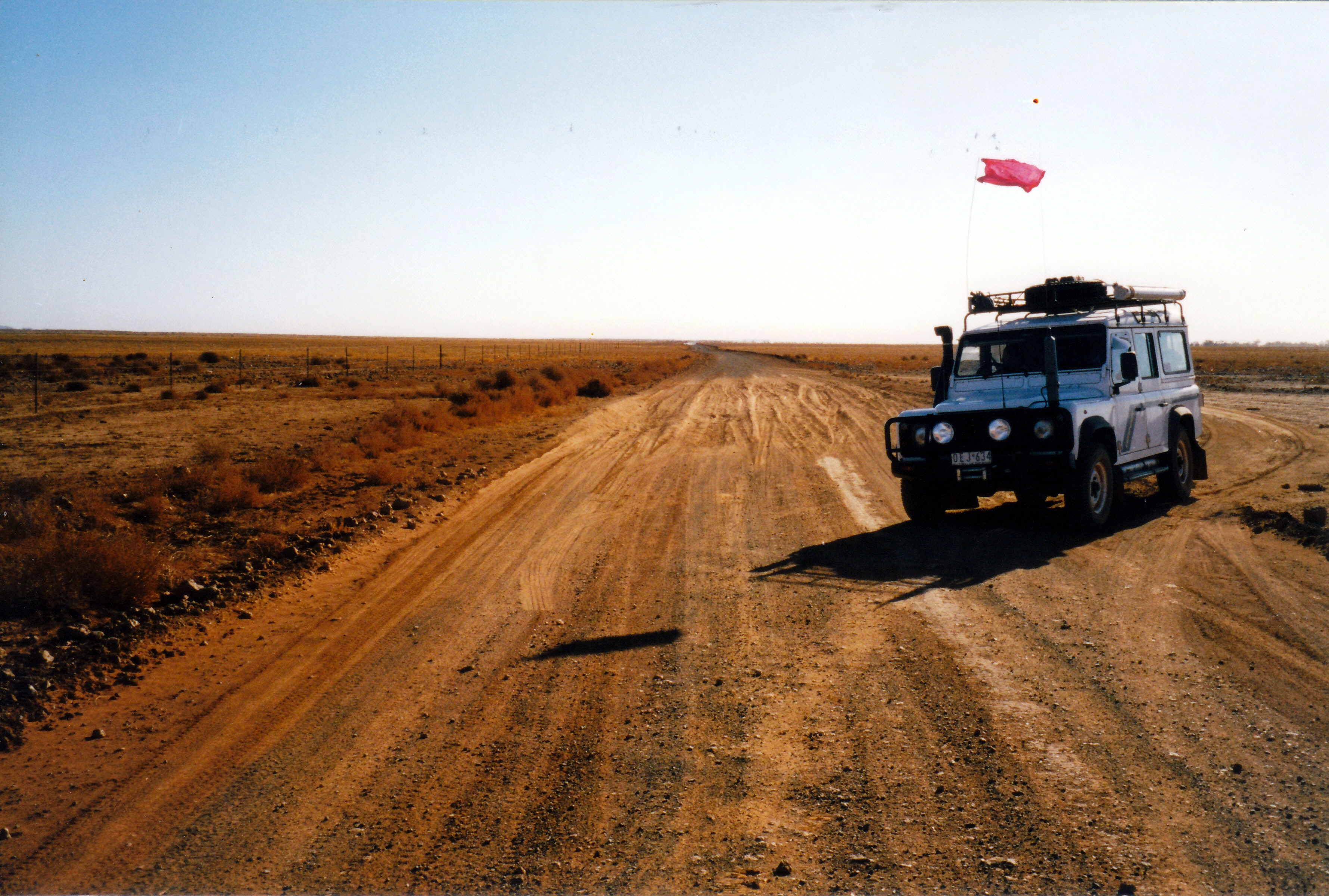
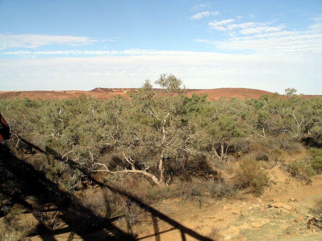
Backtracked for 5kms, then went SW on the Coober Pedy road. It was a good gravel surface. There were a lot of little floodways and creek crossings, some of which showed signs of having been wet, but were dry now.

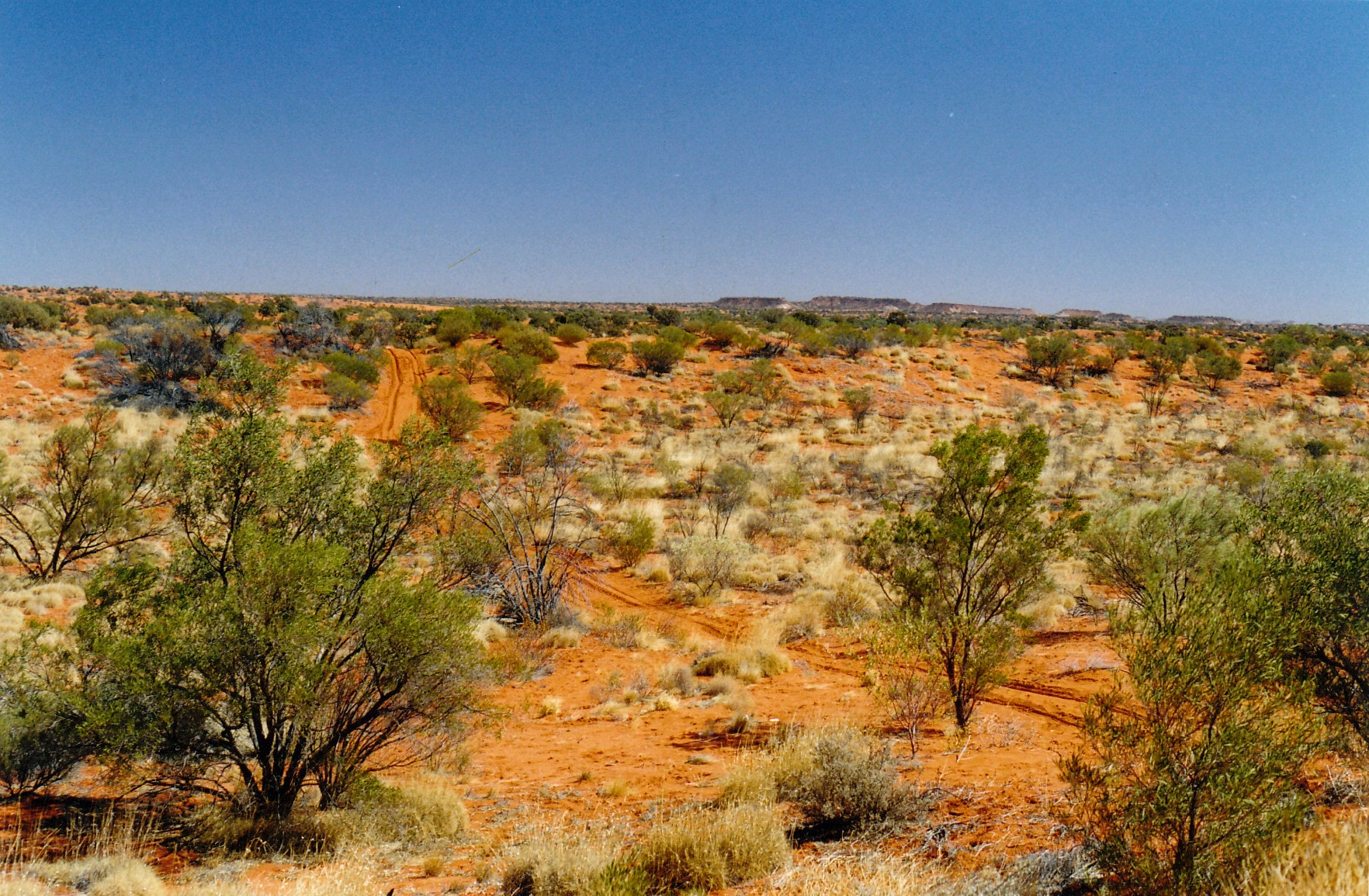
The country had subtly changed and was less desolate.
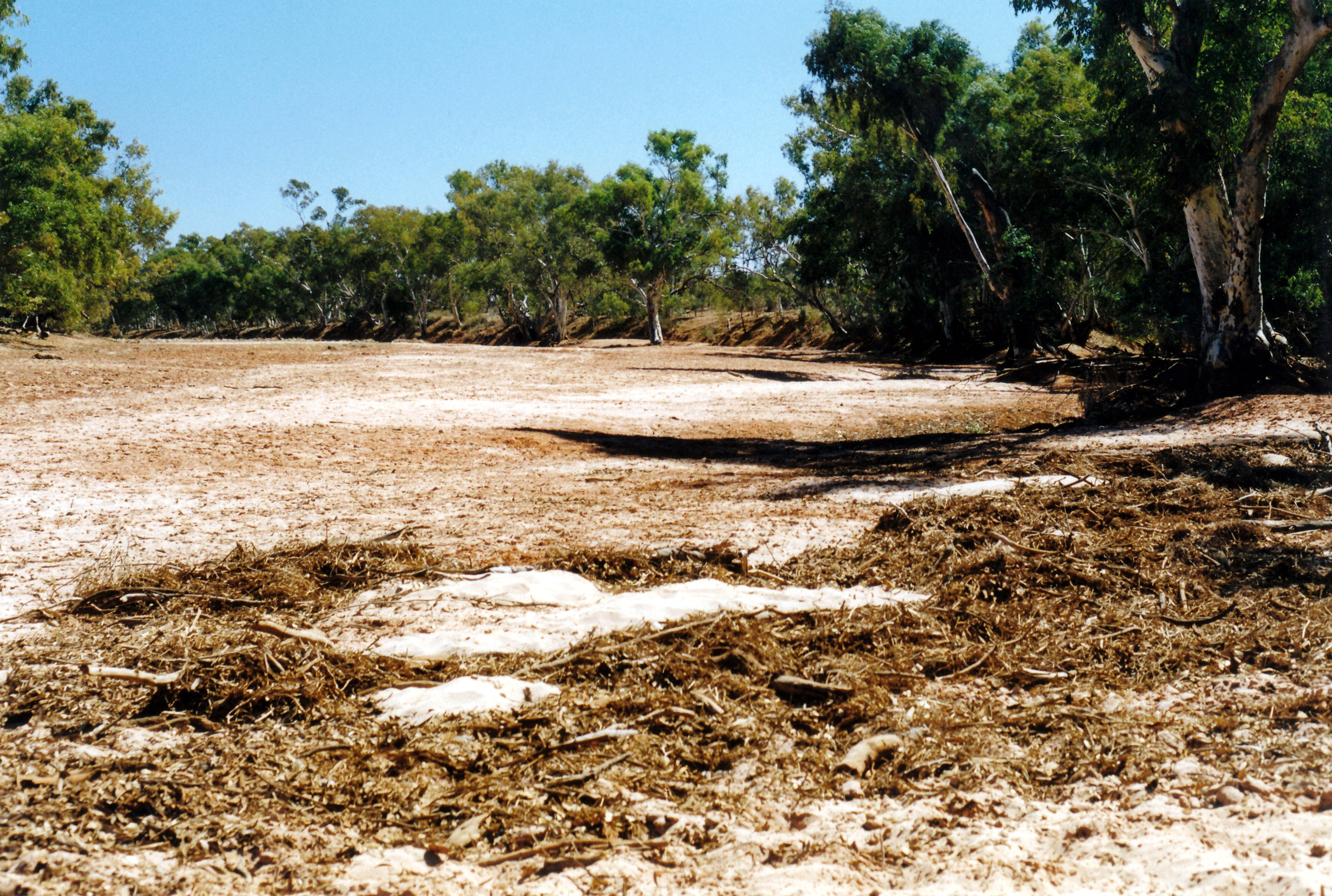
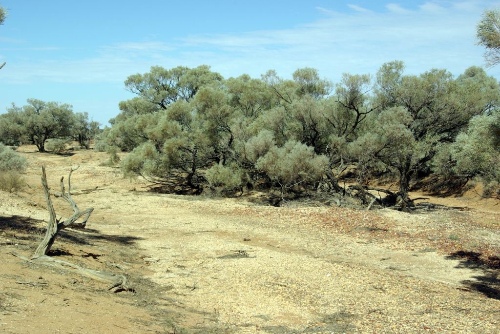
We stopped by a dry creek bed that was attractively vegetated, to eat lunch.
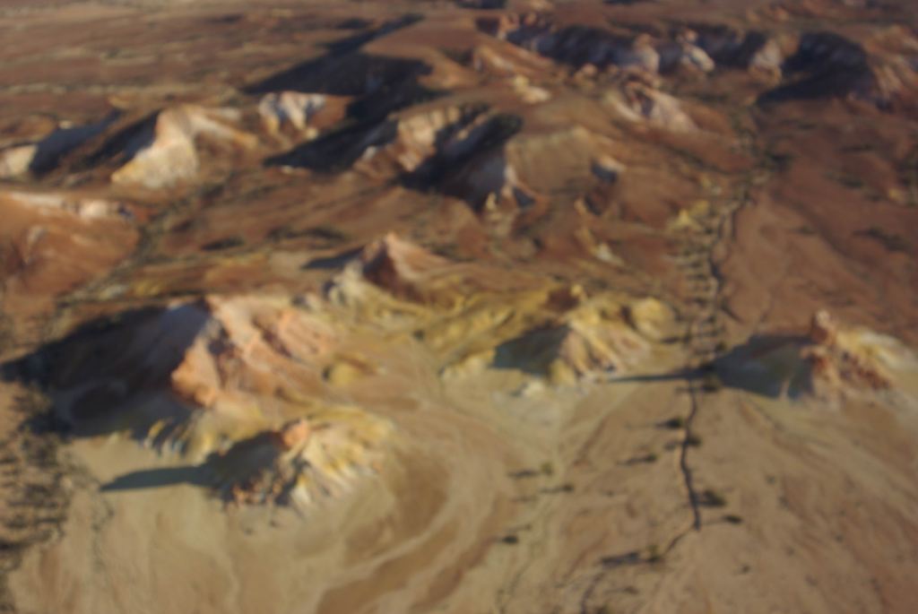
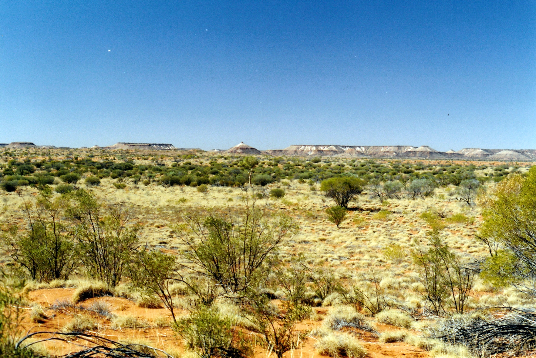
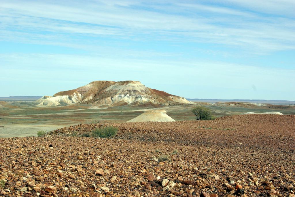
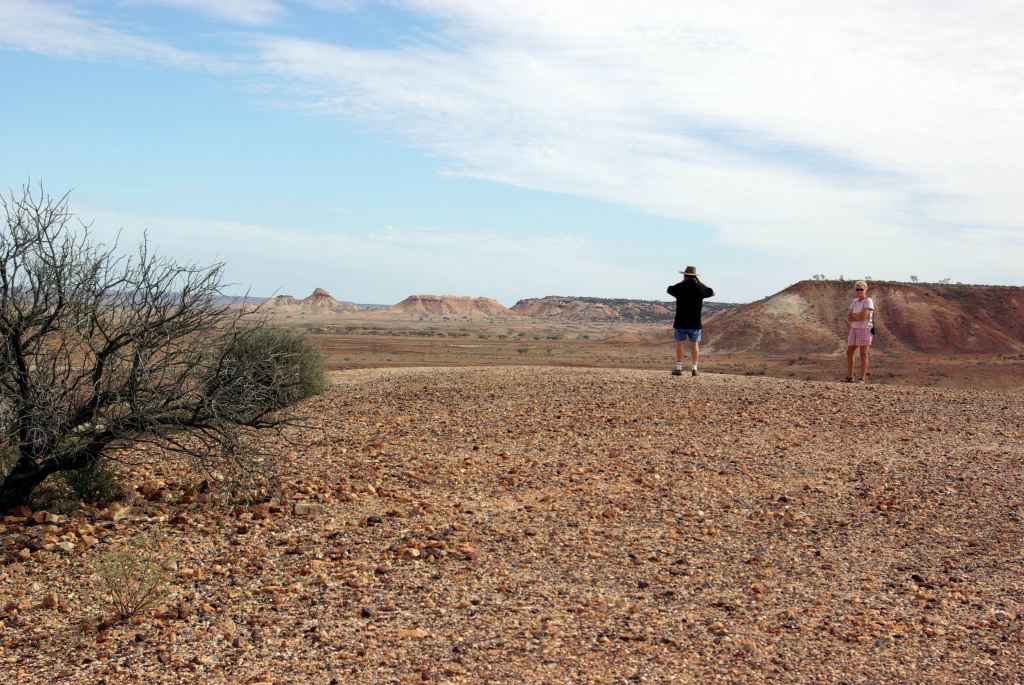
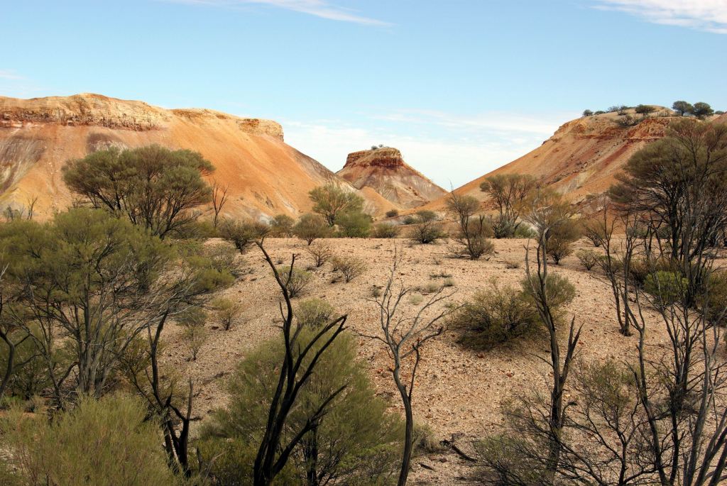
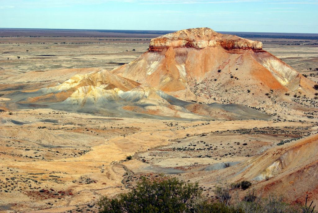
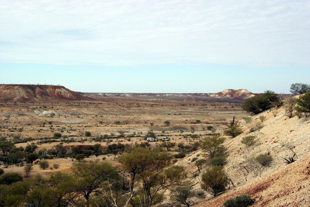
Fifty kms from Oodnadatta, we turned west onto the Cadney Park road. There were starting to be some dramatic, jump-up type hills in the distance. It became obvious that we were heading for these – the Painted Desert.
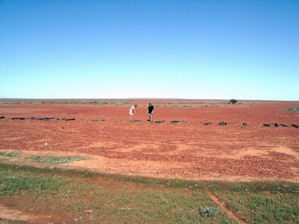
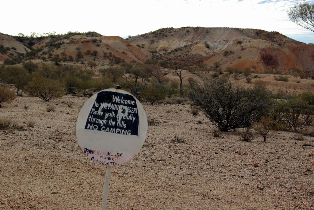
Took a short side track to a parking area for the Painted Desert.
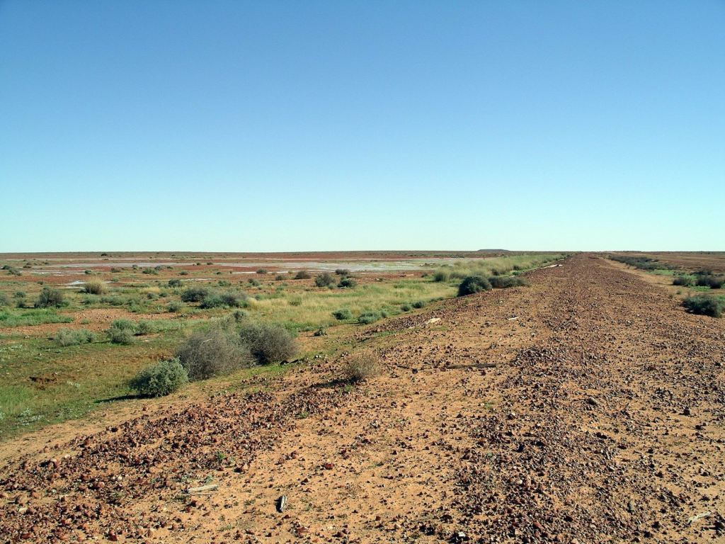
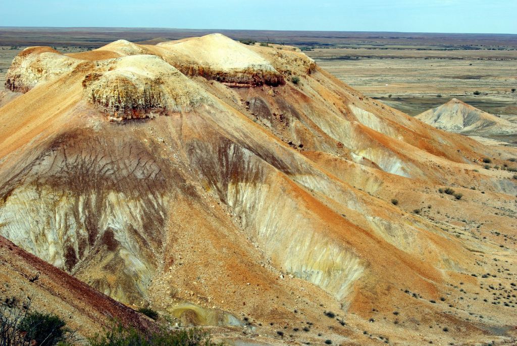
The area was covered by gibber stones.
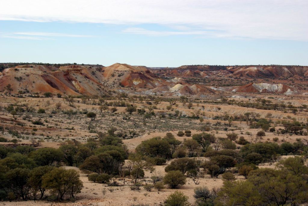
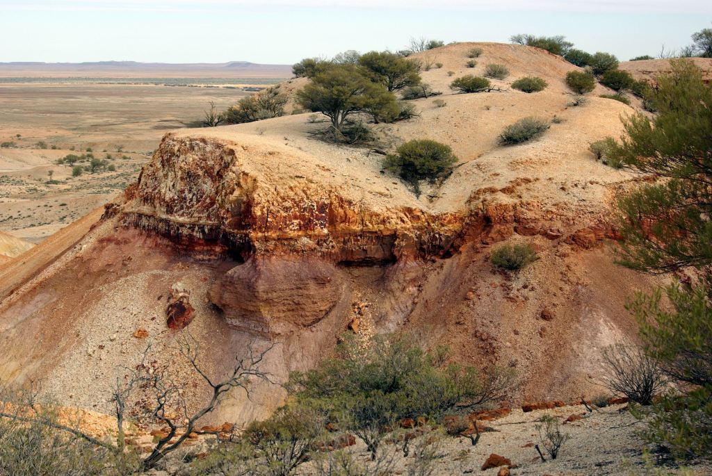
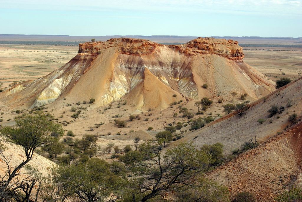
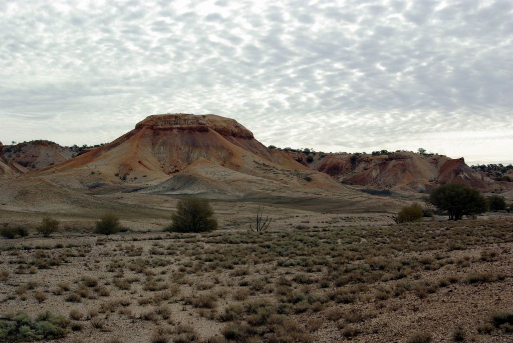
The Painted Desert was once part of an ancient seabed. Uplift and differing erosion rates on hard and soft strata, plus staining from minerals in some of the rocks, have created this rather unique, surreal, and very picturesque little area.
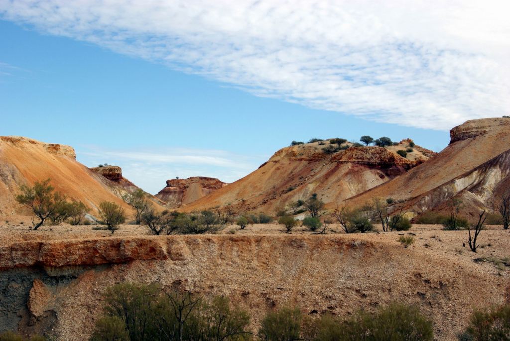
We set out to walk the 2km circuit track that wound around through the hills and gullies.
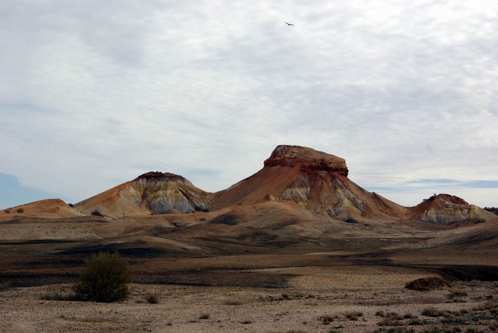
The varied colours of the mesa formations were strongly contrasting, from deep red-browns, through to white.
I wondered if the indigenous peoples of the area had any particular stories or legends about it?
Some of the exposed underlying rock material looked really soft and fragile. It was clearly easily eroded.
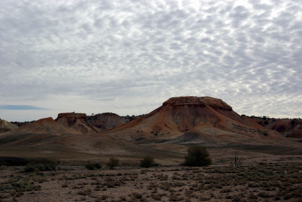
This really was a very different place to any we have visited before, although maybe there was a little similarity to some of the country around Winton, in Qld. It would have to go on my list of my Top Ten Places in Australia. It was so superbly dramatic.
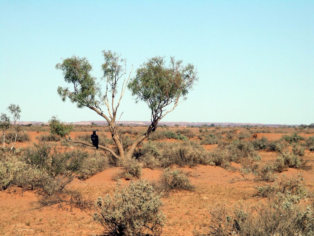
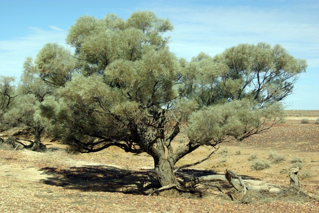
I loved the stark dead mulga standing against the bare terrain. Yes, I know…. more dead mulga!
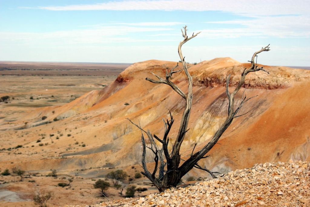
The little walk took us the best part of two hours, because we stopped so often to admire the outlook round the next corner, and the next……and take heaps of photos.
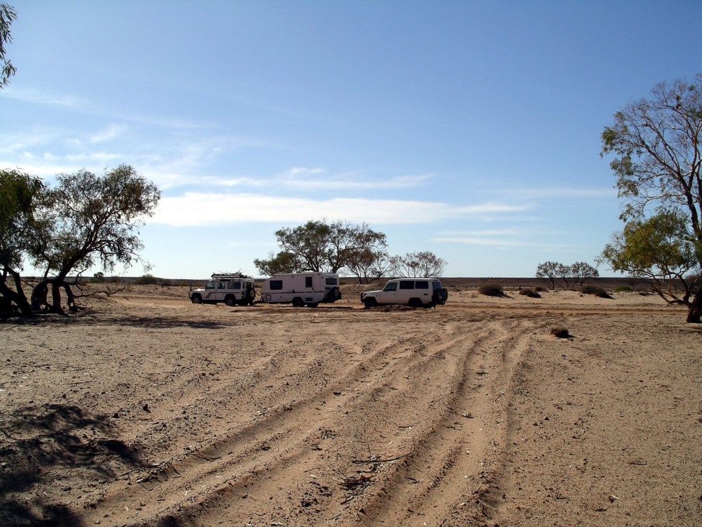
Eventually, we dragged ourselves away to continue on to where we intended to camp for the night, at Arkaringa Station.
It would have been fascinating to spend the night here, and see the sunset and sunrise on the hills, but there was no camping allowed. This is station property, so one should obey their edicts.
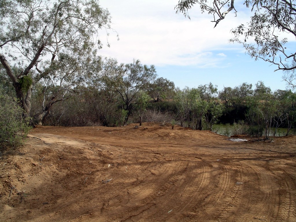
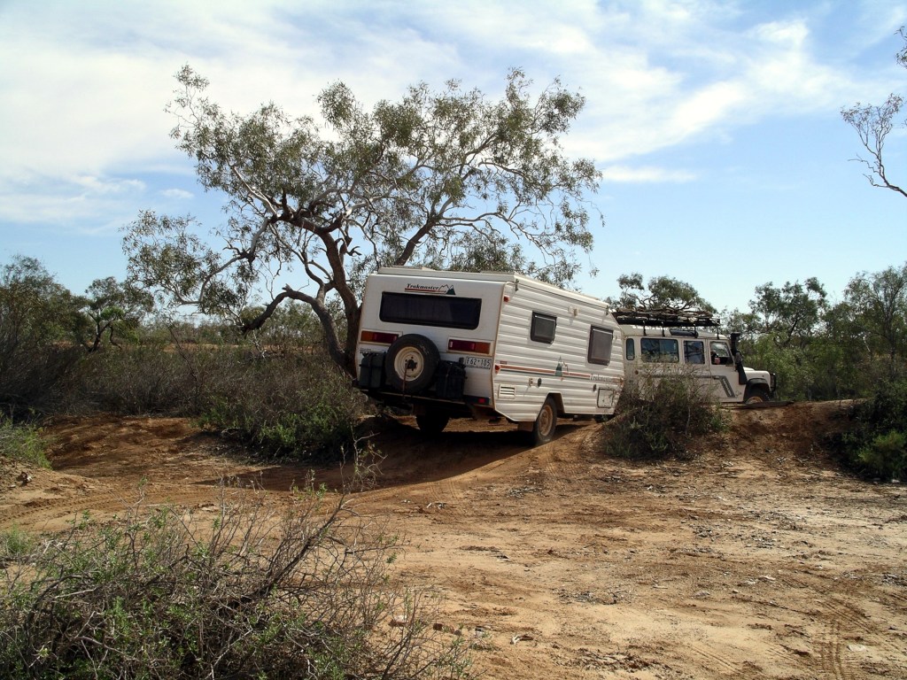
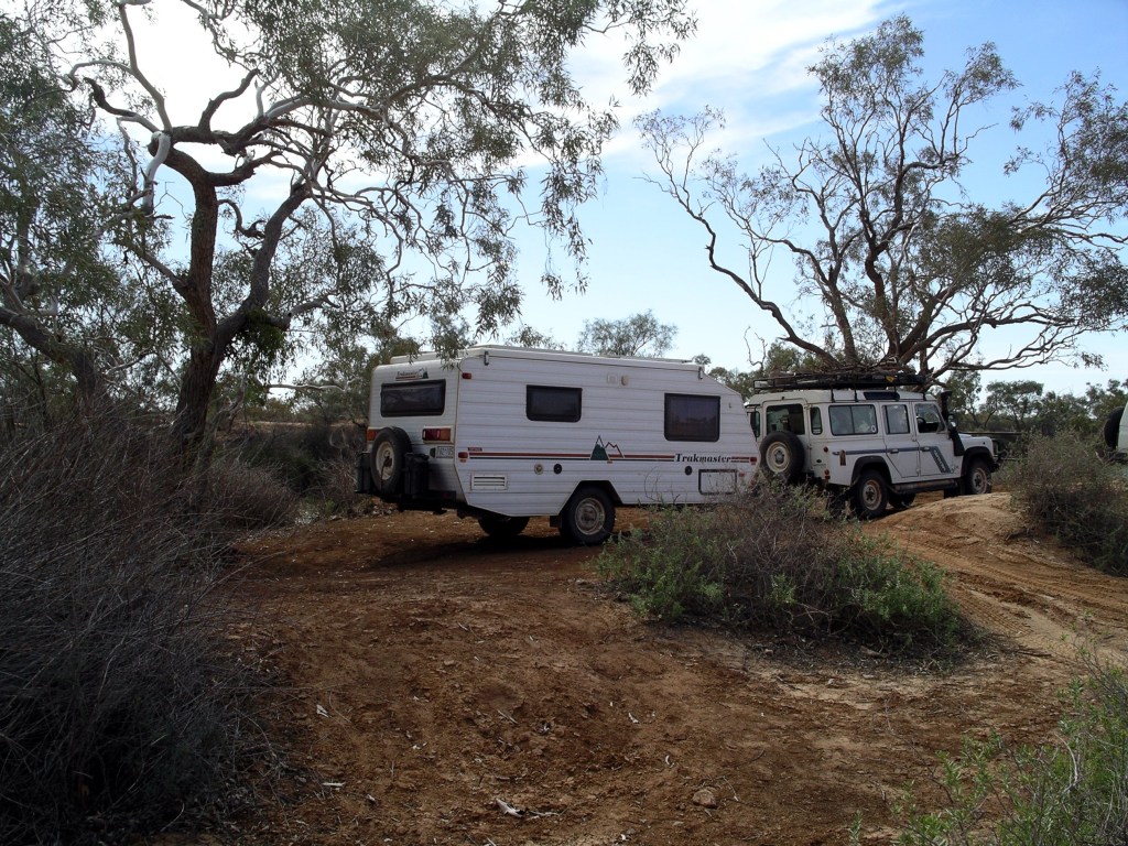
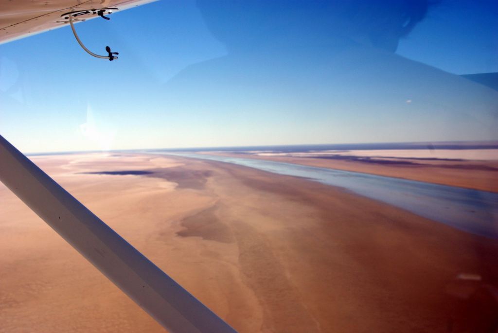
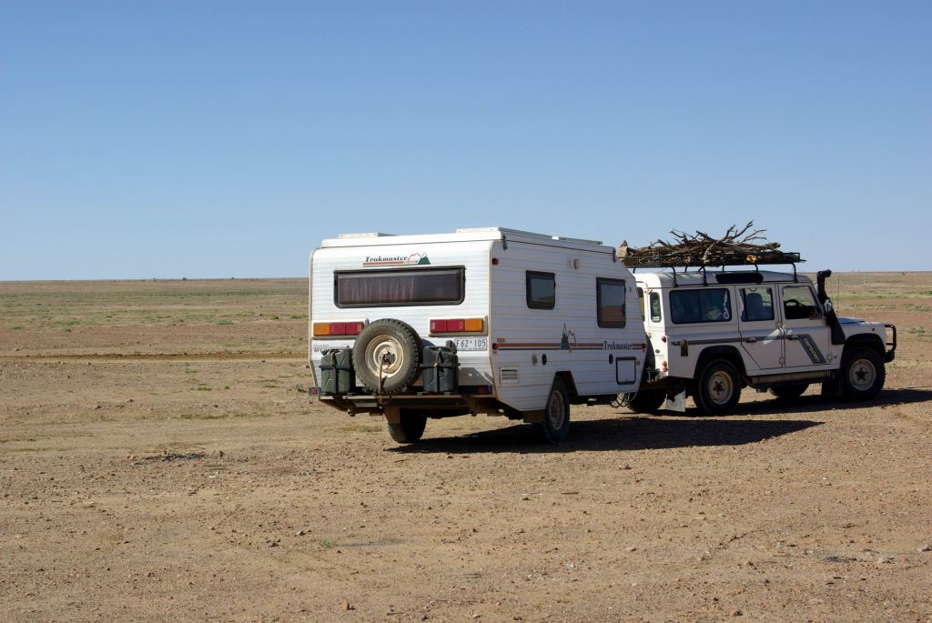
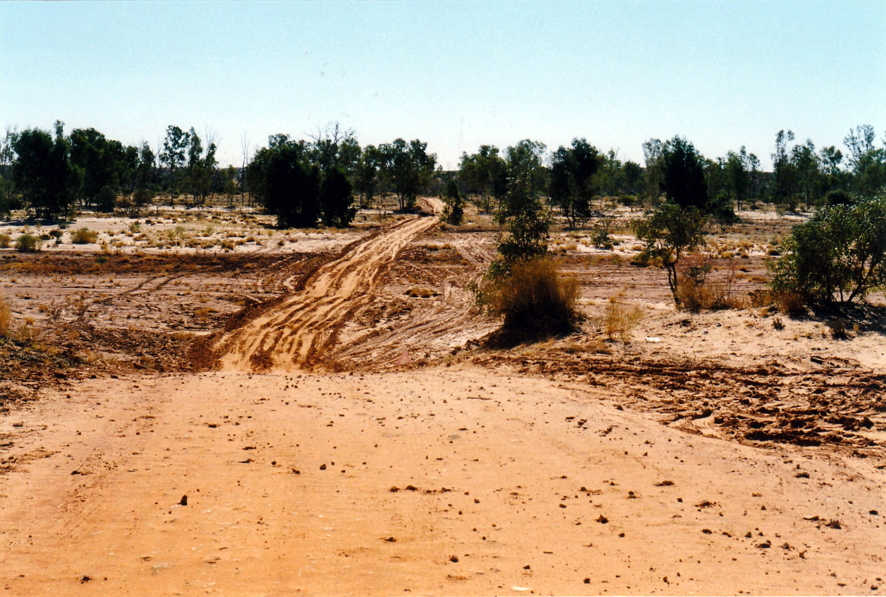
The Arkaringa Homestead was only about 12kms away. We had some ideas of returning to the Painted Desert formations for sunset, or sunrise, or both, to take photos. But these ideas were quickly abandoned after we had churned through the quagmire that was the multiple channels of the Arkaringa Creek.
We could see why this road had been closed, until so recently! Actually, we were rather surprised that it was open! The fact that the creek base seemed fairly firm was perhaps the saving factor. But it had clearly been flowing recently.
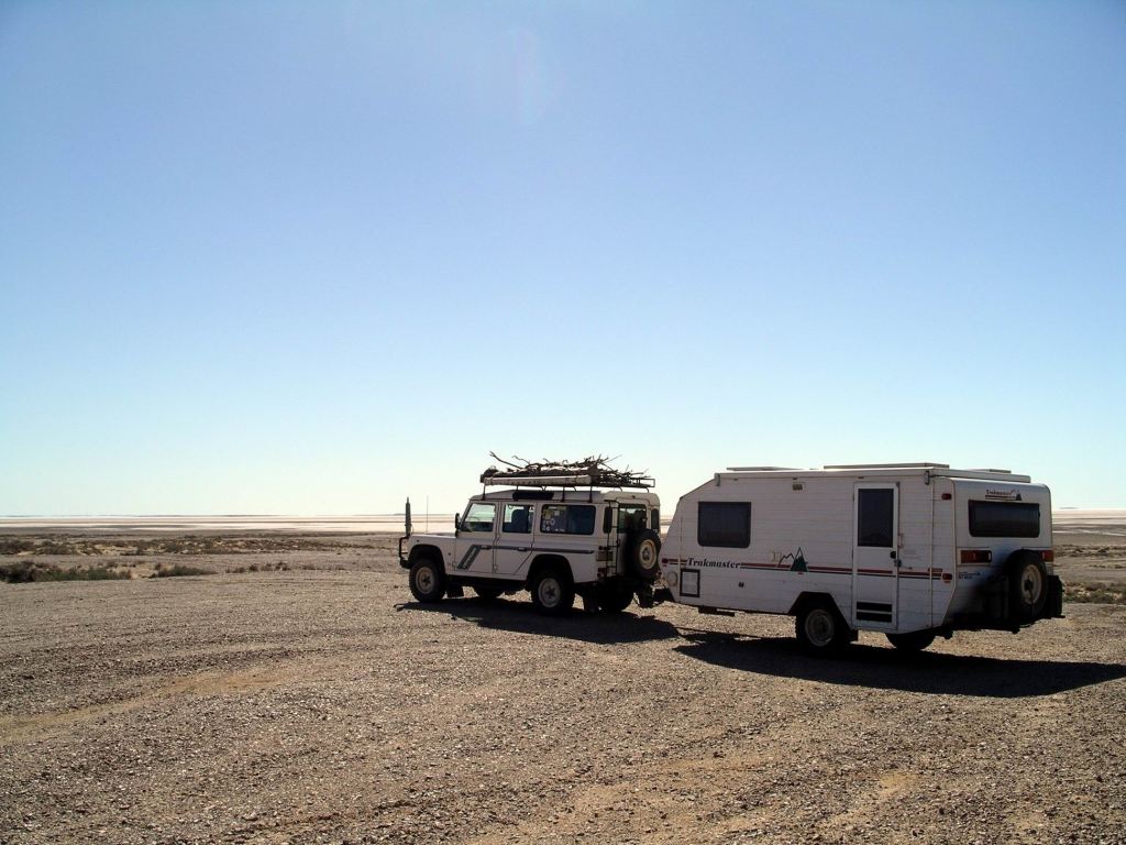
I was sometimes surprised at what Truck will tow the van through. In this instance, John had put Truck into low range before tackling the wide expanse of the creek ford – and hoping! Perhaps if we hadn’t known that the homestead was quite close – and therefore, presumably help if we got stuck – we might not have braved what looked quite nasty.
So, not wanting to cut up this part of the road any more, we decided to forego returning to the Painted Desert formations.
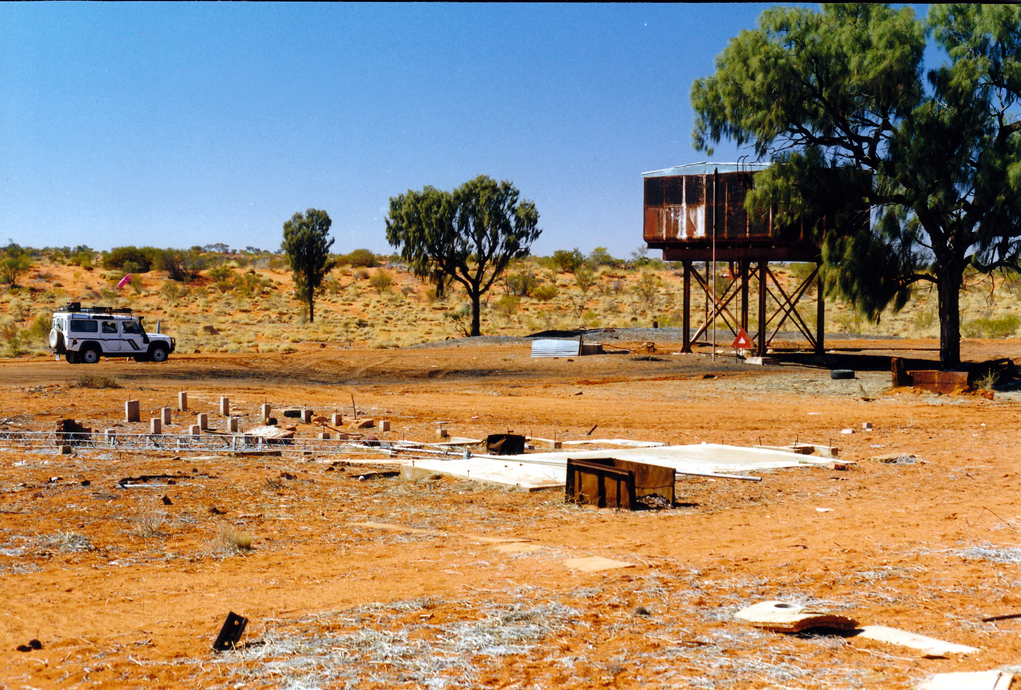
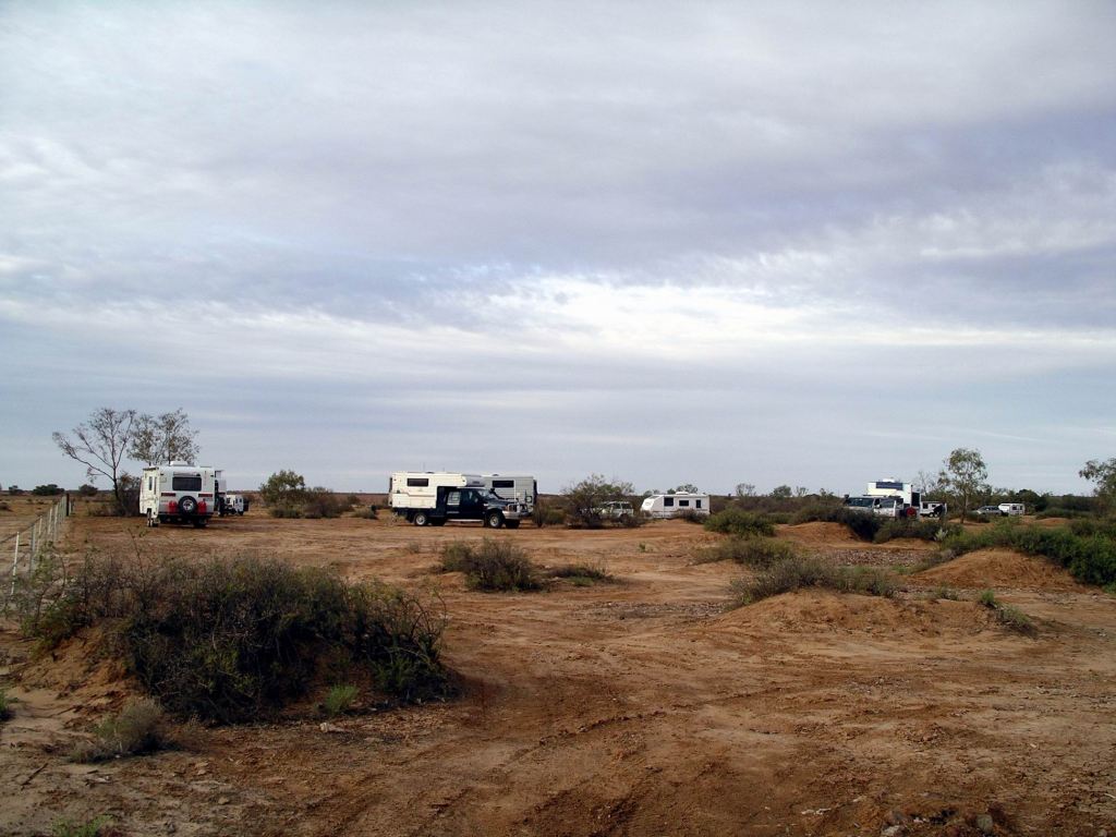
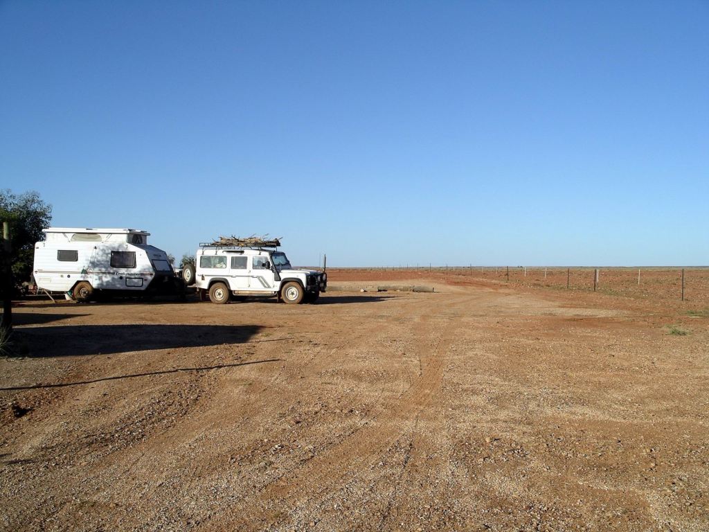
We paid $15 to stay in the Homestead camp area and were able to plug into power. This was a rather basic place, but the showers and toilets were adequate. Good use of corrugated iron on the building of these…..
Arkaringa Station was owned by the same pastoral company – the Williams’ – that owned Nilpinna, of the sign we’d photoed over on the Ghan Track. Seems they owned a lot of this part of the country!
It was great that we were able to recharge my camera battery, and also John’s laptop, which he had run down playing computer games last night!
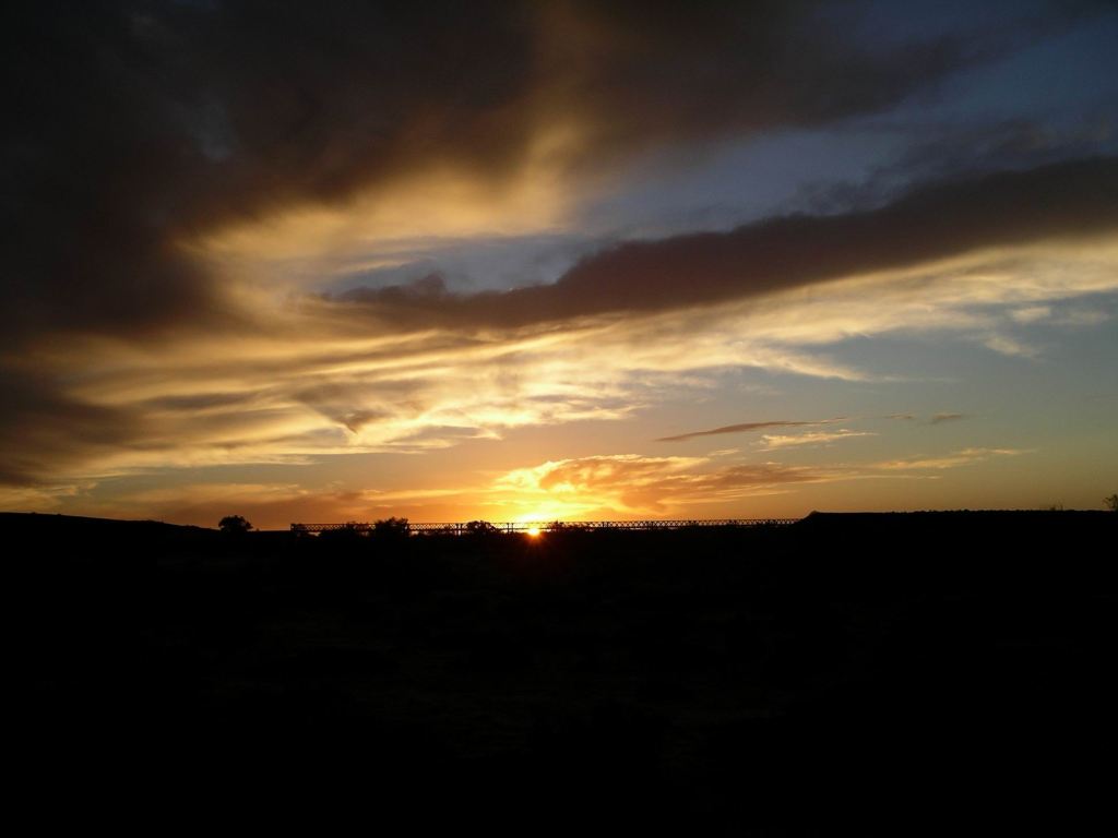
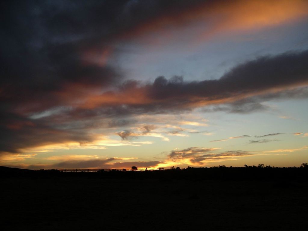
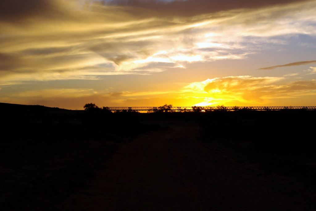
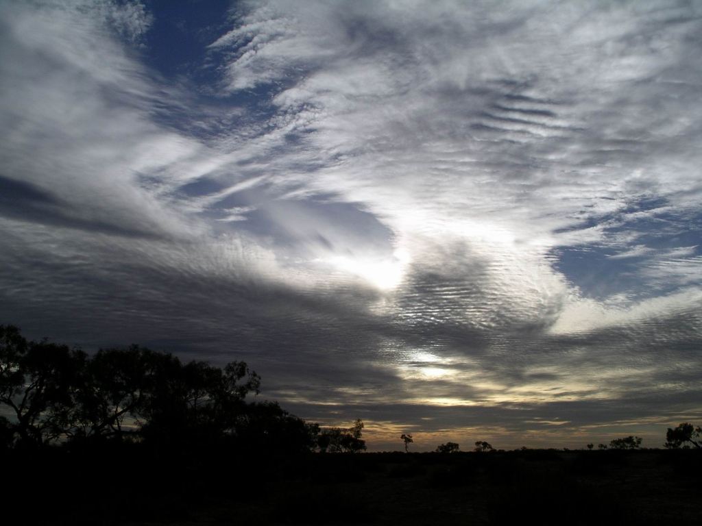
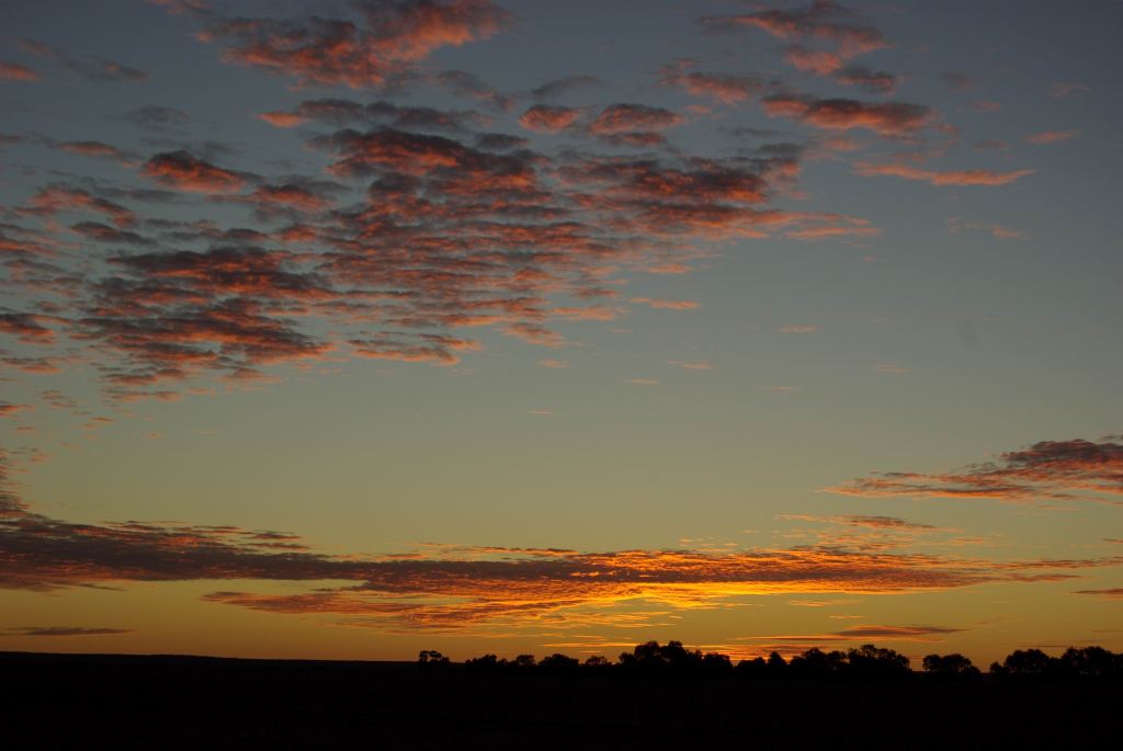
The sunset here was rather interesting, anyway. Vast skies, enough cloud about to make it really interesting.
No campfire tonight.
There was a drilling crew staying in the accommodation section – cabins – who were a bit noisy into the night. Seemed there was a big coal exploration project happening just to the south of here. I hoped that any mining venture in the future did not impinge on this very special environment around here.