
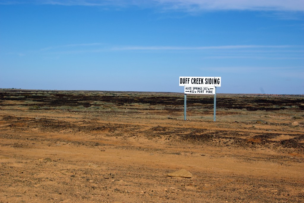
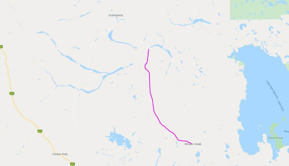
MONDAY 21 MAY WILLIAM CREEK TO ALGEBUCKINA BRIDGE 136kms
Although we did not race to get going in the morning, we did get away before the Trakmaster party – for which we were grateful. Did not really want to be playing tag with them along the Track. Some of their members were doing morning plane flights, so the group waited for them.
Refuelled Truck – $1.56cpl.
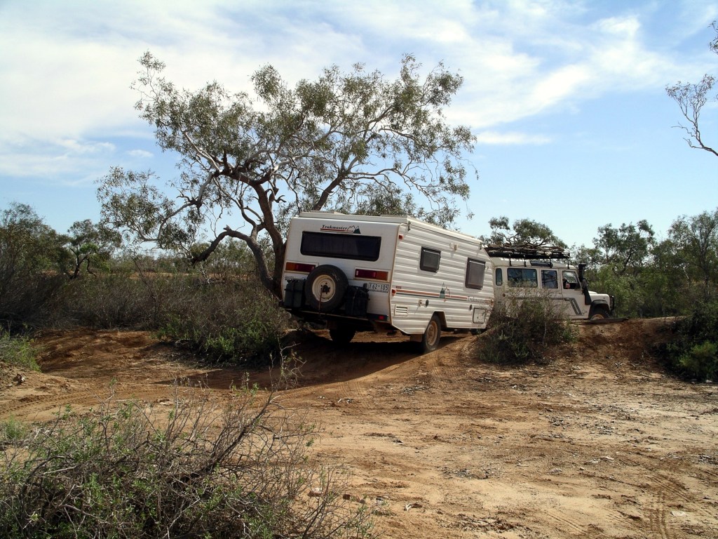
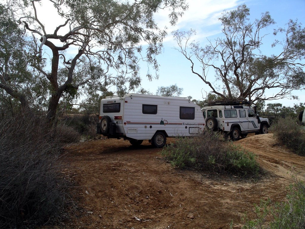
In much the same way as the previous days, we continued on up the Track.
Stopped several times, to look at ruins, scenery and bridges.
For much of today’s way, there were very low ranges in the eastern distance – the Denison and Davenport Ranges.
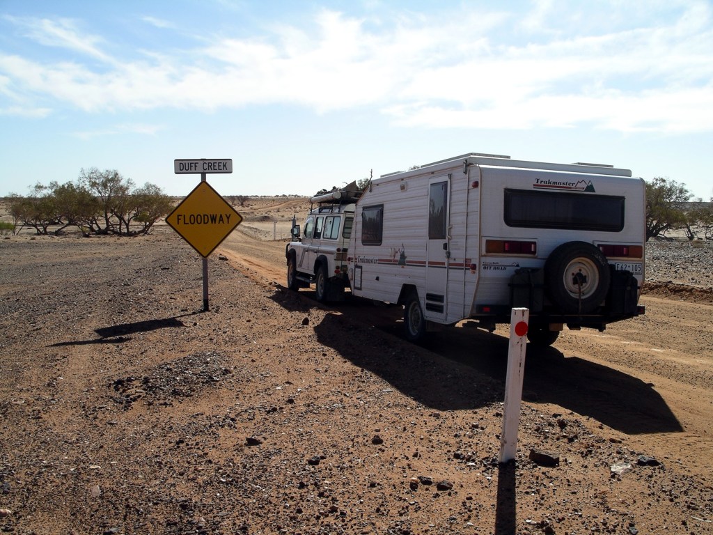
Not far past the Duff Creek floodway, there was an entrance track and sign for Nilpinna – a Williams Cattle Company property of some 5000 square kms. This group was one of the large players on the Australian pastoral scene.

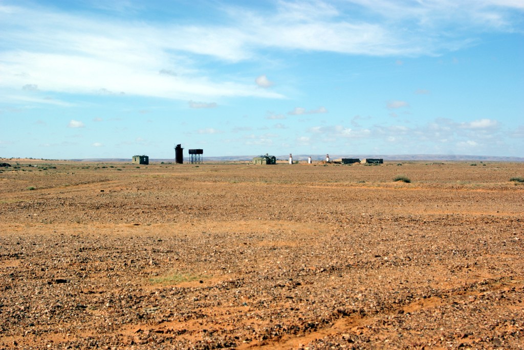
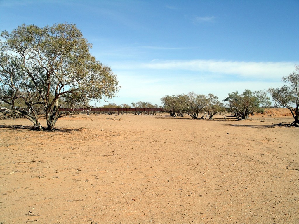
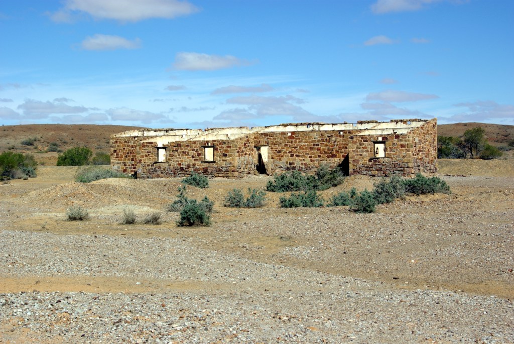
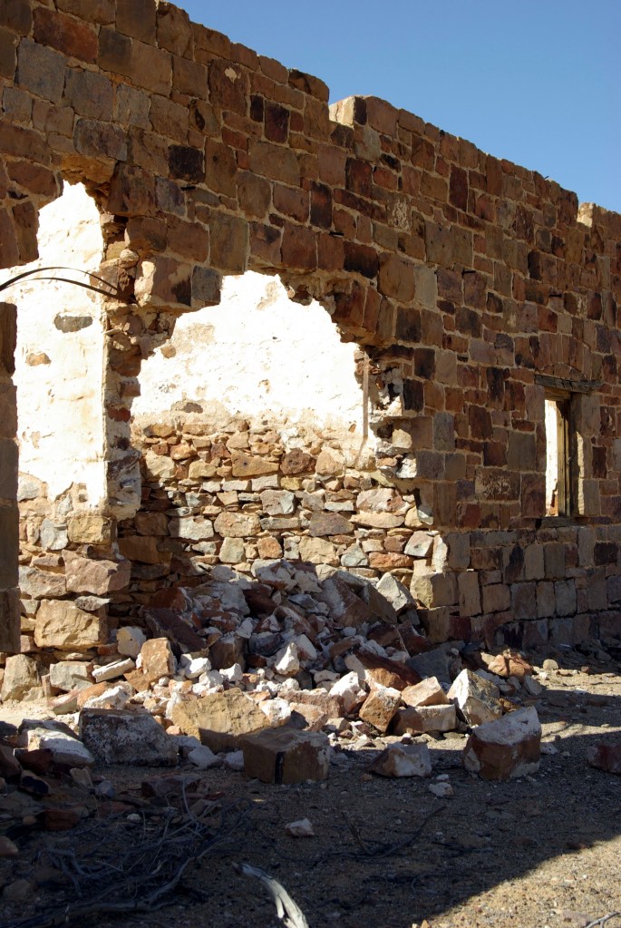
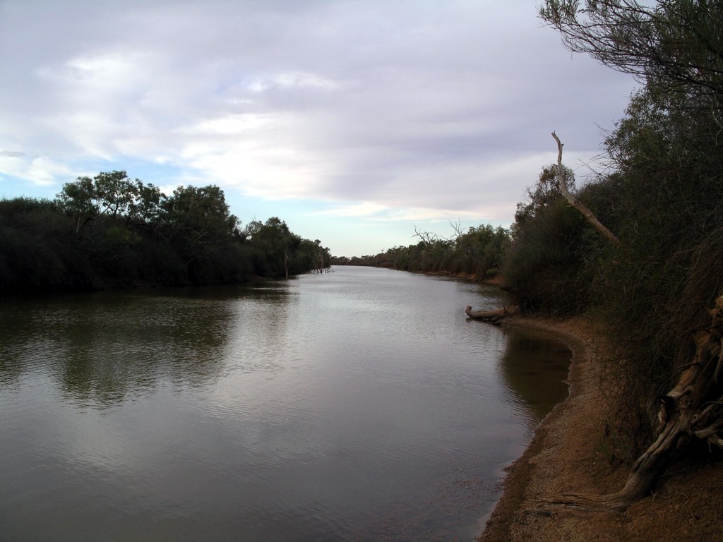
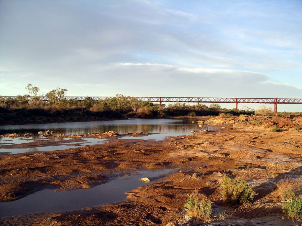
Early afternoon, we came to the Algebuckina Siding ruins and nearby Algebuckina Waterhole, on the Neales River. This really was a river, with substantial lengths of waterholes.
Really liked the look of the bush camping area to the east of the Track. I’d hoped to find it so, rather than go on to stay at Oodnadatta.
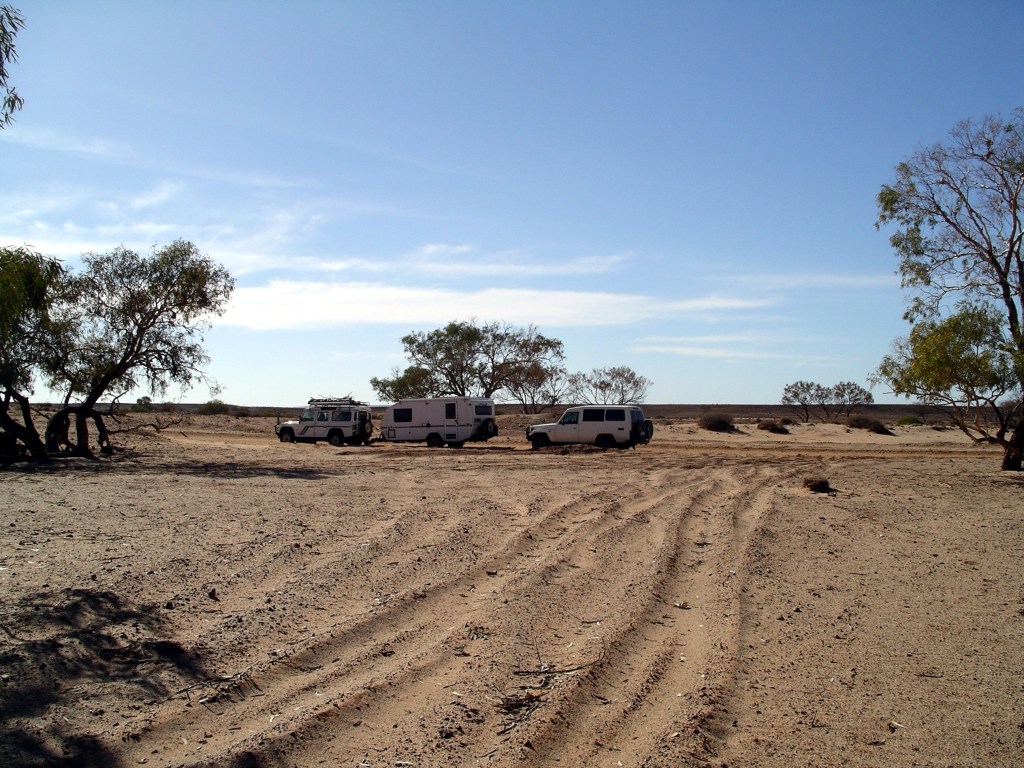
There was a spot, right up by a fence that marked the boundary of the camp area, up on the bank above the waterhole, that would just fit us and the Troopy. Prime local real estate it was! It was one of the few spots in the otherwise rather open camp area, that had a water view.
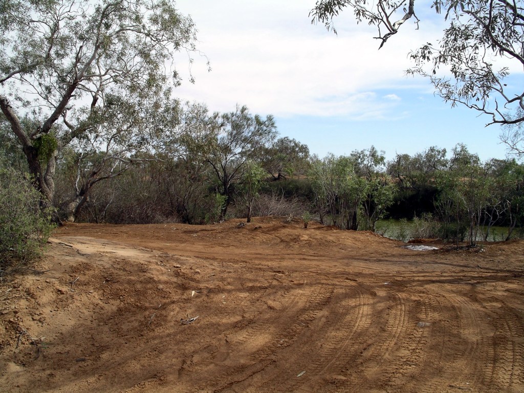
It took a little manoeuvring ( well, quite a bit) to get the van in so that it was reasonably level, and still left room for M to put the Troopy on a flat part of the clearing. Side on to the river, we had a lovely outlook over the waterhole. As well, there was rather a sense of privacy from the rest of the open camp area.
There were no amenities of any kind here, so it was out with the spade and head off into the distance to dig a hole in the ground! I noted that my knees were not managing this particular camp activity too well, any more!
The Trakmasters arrived some time after us and set up in various places around the open camp area. Apart from them and us, there were only two other rigs there. I had expected this place would be more popular, but maybe would-be travellers had been deterred by the recent rains.
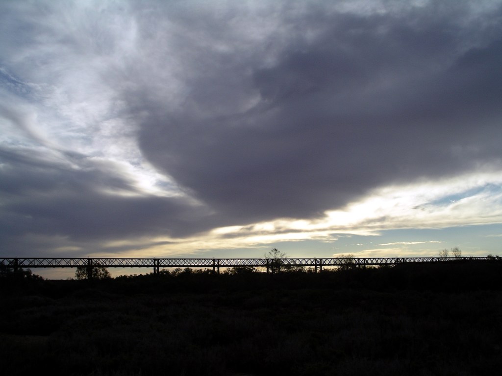
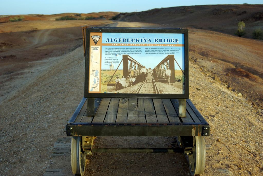
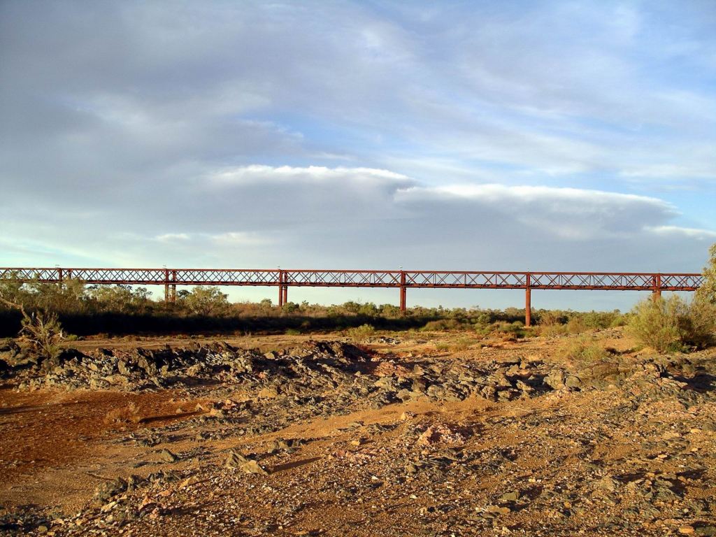
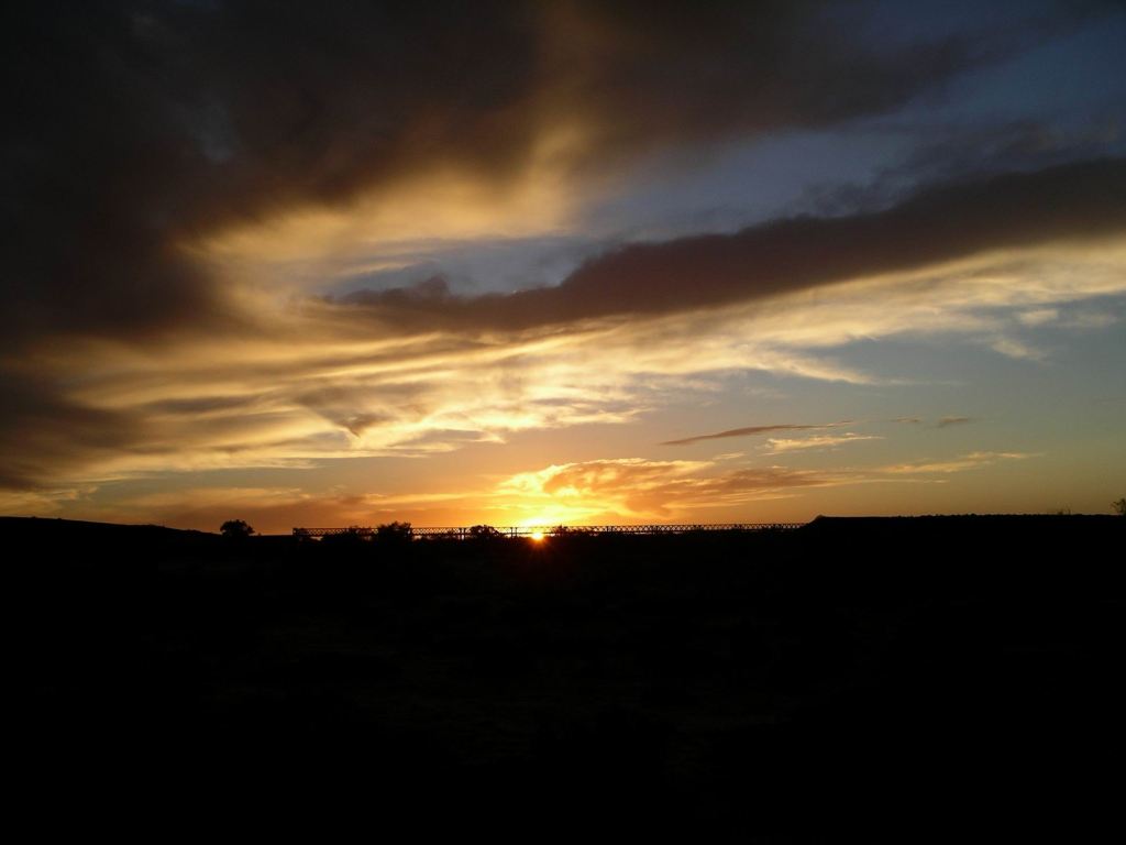
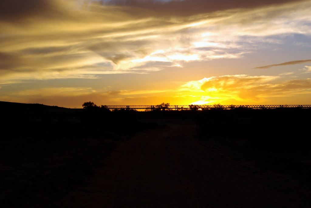
We walked along beside the river and across the Track to the superb old Algebuckina Railway Bridge. It was about a km away from our camp. The ruins of the railway siding that was here, were nearby.
I was surprised that, during the couple of hours we spent around the bridge, exploring and photographing, hardly anyone from the Trakmaster group came along to look.

The bridge is high and almost 590kms long. It is a wonderful subject for photos, especially silhouetted against the setting sun.

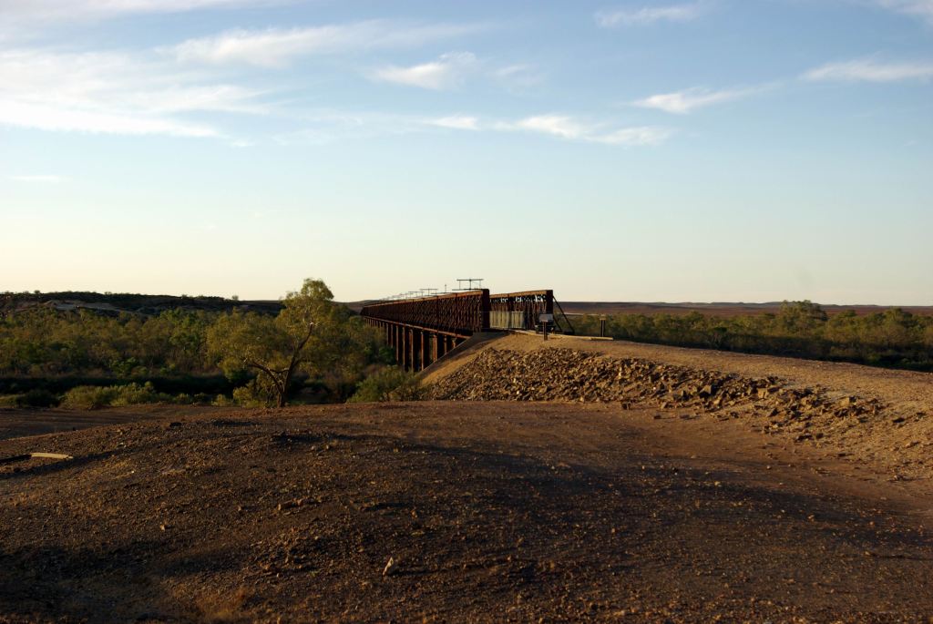
The bridge was opened in 1899 and is the longest bridge in SA. Despite its height, the big flood of 1974 reached almost to its decks!

The remains of a wrecked Holden were still there, from 1976. The motorist attempted to cross the flooded river, via the rail bridge, by putting down some planks, moving his car onto them, then taking up the ones behind and repeating the process. Unfortunately, the works train came along, while he was only part way across, and ran over his car. He lived. The wreckage was pushed off onto the creek bed below the bridge.
One could think up a new variation on the signs one sees about not attempting to drive through flooded creeks!
We took a heap of photos. It was the sort of place that just lent itself to being photographed in the changing light of late afternoon.
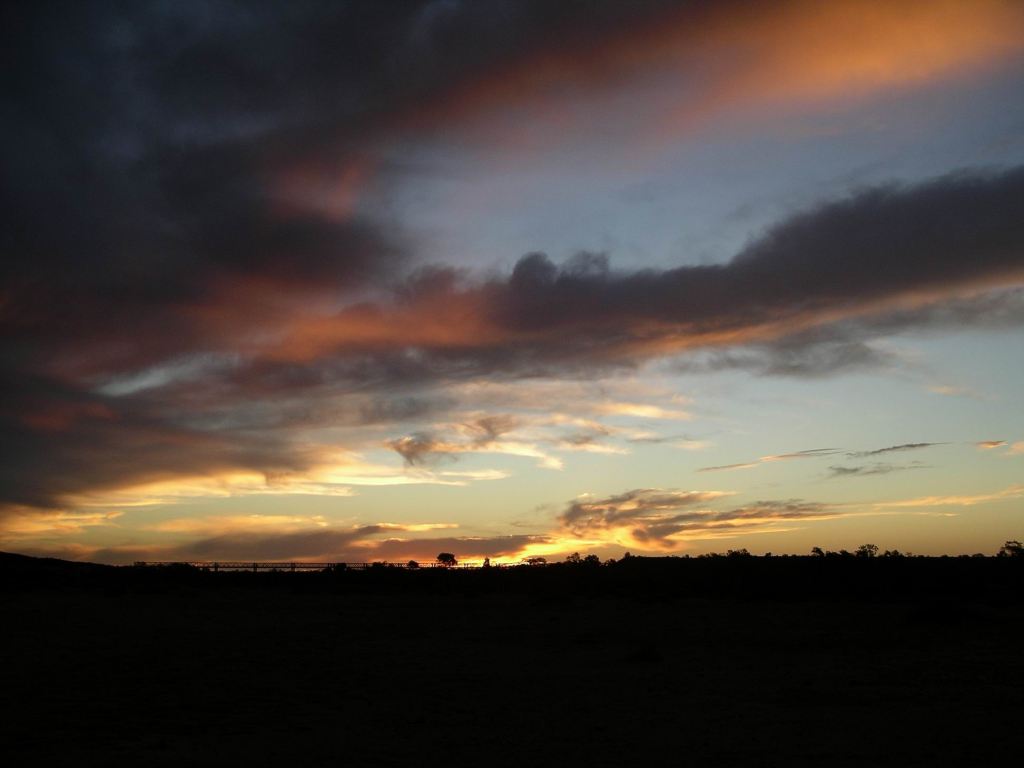
It was dusk by the time we’d walked back to our camp.
Our site even had room for a campfire, in a place where there had obviously been ones before us, so we sat outside for a while after tea, chatting and enjoying looking out over the waterhole. There were some occasional nocturnal sounds from frogs and waterbirds – lovely.
We were hoping that each day that goes by was allowing the Cadney Park track that we wanted to take, to dry out.

September 19, 2020 at 11:03 pm
Great photos and fascinating history. I’ll bet there were plenty of jokes about the creek name.
September 20, 2020 at 2:58 am
Yes – kind of along the lines of that current TV ad for an insurance company!
September 20, 2020 at 9:51 pm
😂😂