
FRIDAY 25 JUNE MURCHISON SETTLEMENT TO MT AUGUSTUS 390kms
Today’s was a really interesting drive. North of Murchison Settlement, we moved into slightly less flat country, with more interesting stream crossings.
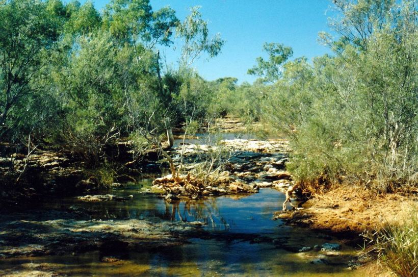
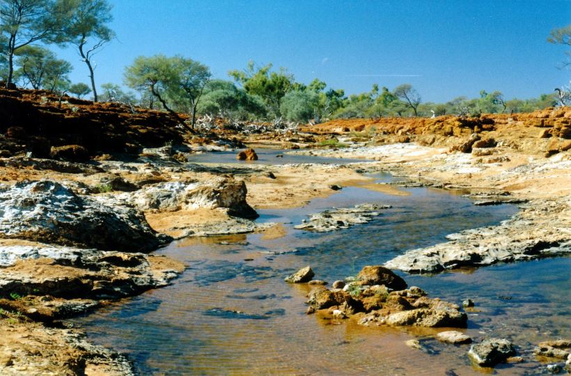
Wooramel River
We stopped for a while at the Wooramel River crossing, walked around, took some photos.
Wooramel River
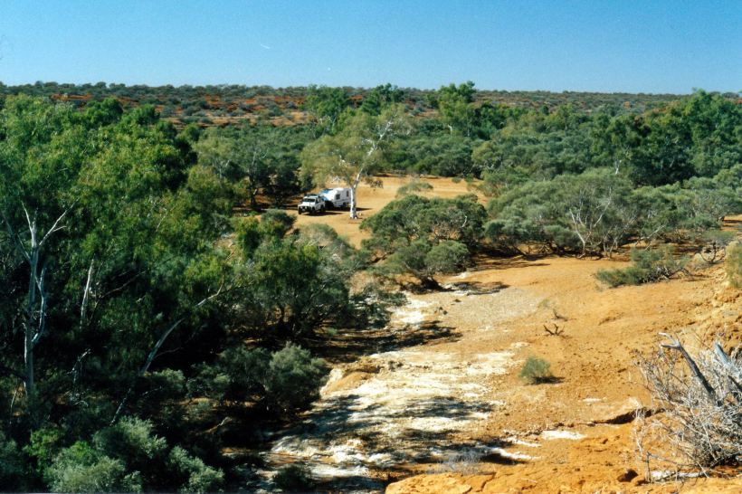
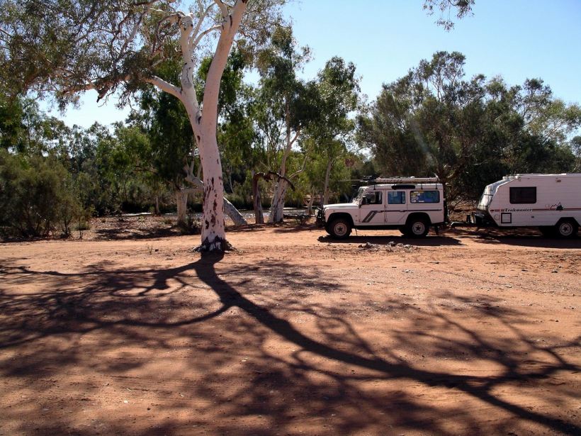
Then stopped at Bilung Pool for lunch.
Bilung Pool
These occurrences of water in the otherwise semi-arid country, act like magnets. A little stream that would be unremarkable in, say, Victoria, assumes great significance up here.
At Bilung Pool we chatted for a while with another couple with a van, who pulled in behind us.
Bilung Pool would be a very pleasant place for an overnight stop – or longer – if we came this way again.

Could be a pleasant camp at Bilung Pool
The road was surprisingly good – all unsealed, of course.
At “Glenburgh” we took the road past “Dalgety Downs”, north west to “Landor”.
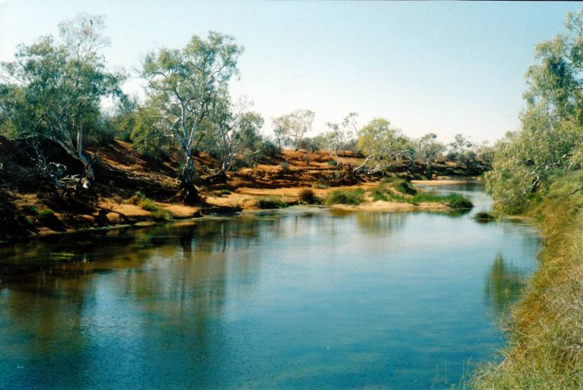
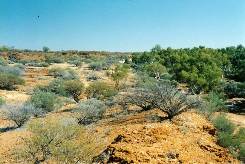
By now, we were in the upper reaches of the Gascoyne River basin, and the little floodways and stream crossings – mostly dry – became quite frequent.
Near “Landor” we met and turned north onto the Meekatharra-Landor road. We had used this route in 1993, to go from Meekatharra to Mt Augustus.
Crossed the upper Gascoyne River – multiple channels.
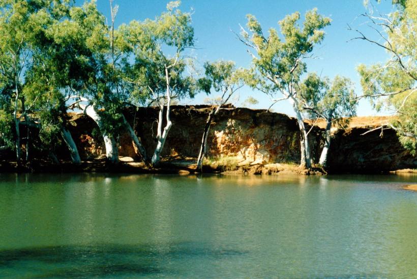
On Landor Station
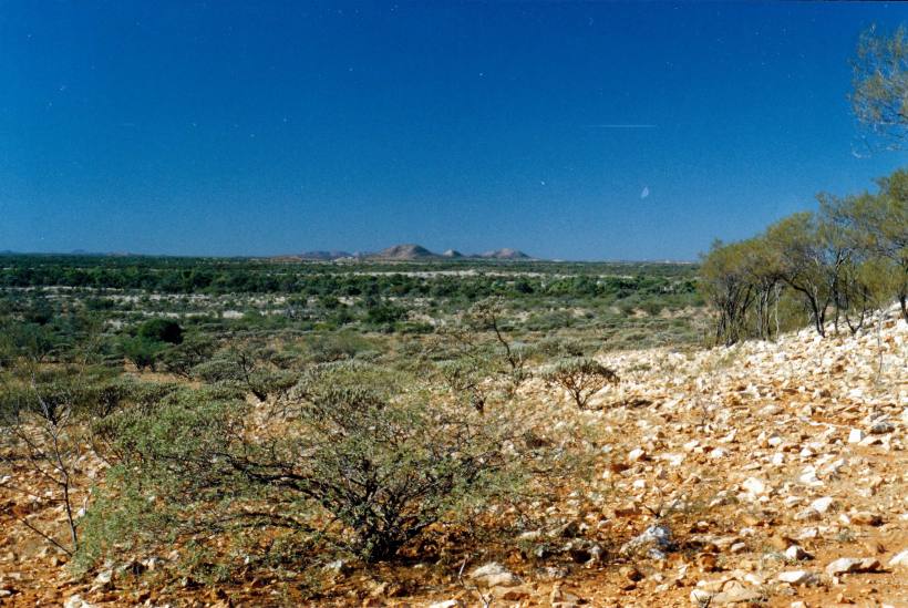
There were a few aboriginal driven cars around the Burringurrah community, about half way between Landor and Mt Augustus.
We reached Mt Augustus about 5pm. The mountain was even more impressive than I remembered. It looms large from the camp ground, and can be seen from about 160kms away.

Satellite image of Mt Augustus (from Google)
Mount Augustus is actually the world’s biggest rock, reaching about 717 metres above the surrounding land. This is supposed to only be the top third – the other two thirds stretch below! Geologically, it is a monocline structure – a great fold of rock which protrudes through the surface – as opposed to Ayers Rock, which is a monolith, where the ground was worn down around it.
Mount Augustus is so much bigger than the better known – and more accessible – Ayers Rock. Mount Augustus is about 8km long and to drive around it is 49kms. It is really old – at least 1000 million years.

Mt Augustus area (from CALM brochure)
The “resort” – really just a camp area, with a few dongas too, on a station – does not seem to have changed much (progressed) in the eleven years since we were last here. It was kind of tatty and poorly maintained – but was $18 a night for a powered site.
The place is licensed. John bought a slab of beer – he forgot to do that in parts further south – whoops. Cost him $50. Diesel was $1.40cpl. The place appeared to do a sound trade in selling alcohol to aboriginals – presumably from the community we passed.
We set up on an area with a very welcome surround of grass.
Sat outside before and after tea. just watching the changing light on the mountain, and rejoicing in being in a remote place again.

