
MONDAY 7 MAY ARKAROOLA
There was some light cloud about today.
We’d decided, around the fire last night, to have a driving day today, and explore an area to the west where we had not been before.
John went and fuelled up Truck – $1.50cpl here!
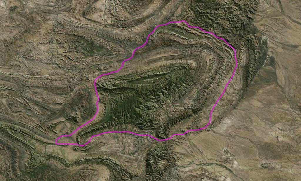
We took the “back” way to the west, towards Umberatana. The plan was to loop around the northern part of the National Park, then at Yankaninna ruins, take the 4WD Idninha Track back east, into the Park and cut through to the Arkaroola road that way, either to Bolla Bollana or further through the Park to the McTaggart Track. It could be a possible circuit of some 100kms.
Did not stop to look at features close to Arkaroola – saved those for another day.
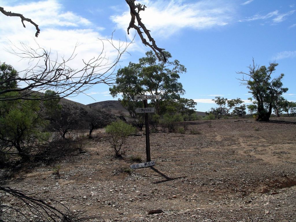
The route was not as much used as we had anticipated. The distances shown on our map were way out, and the roads were not as “important” as the map made them look! They were supposed to be 2WD tracks, but I knew a lot of drivers of same who would freak out if faced with these. Signposting was not great, either, and there was one point somewhere around Umberatana where I was really unsure if we were going the right way.

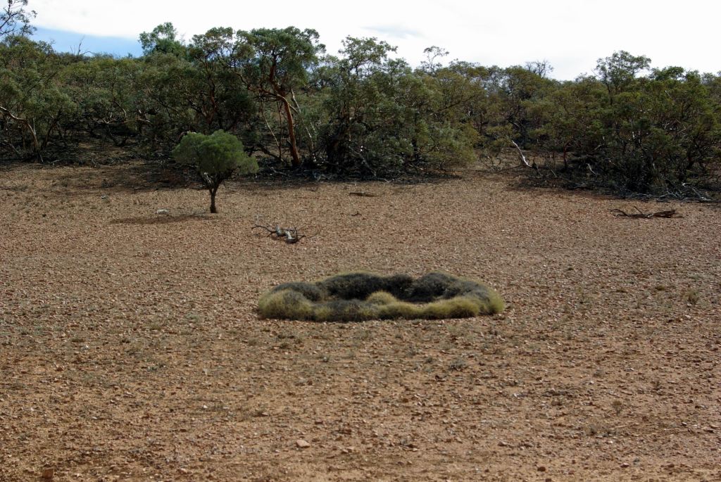
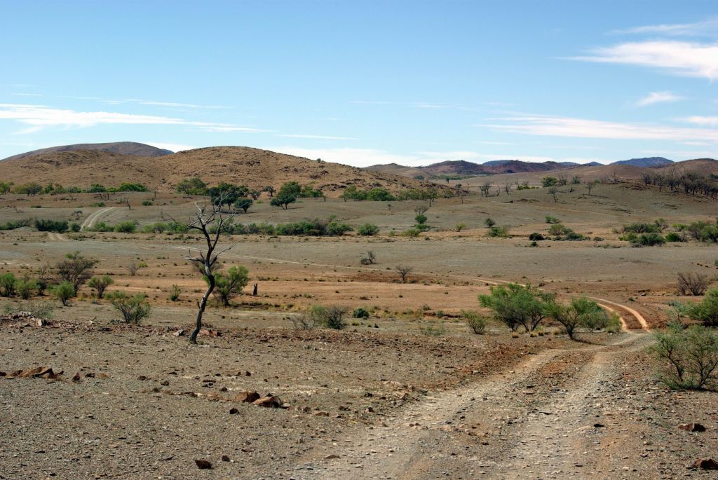
But it was attractive travelling, with the ranges in the distance and with lines of low scrub marking creek lines – dry now, of course. The road undulated, twisted and turned, so there was always a new vista.

There were some gates to deal with too.

At Yankaninna, we had to invent Plan B, because the track into the National Park was closed. Found out later that the landowner on the western border of the Park did not want people accessing the Park across his property – so he just shut off the road! So, Plan B became to keep on going in a big circuit around the outside of the park – a very much longer drive than we had anticipated. It was either that or go back the way we came, which seemed a bit tame.

Stopped for our lunch break at Arcoona Creek – a point where the road we were on brushed against the National Park, and where there was a campground. It would be a pleasant, if remote, place to camp; certainly unlikely to have many, if any, fellow campers. There was shade but no facilities.


We walked around the place a bit and climbed up a ridge to get a view over the campground, before setting off again.
Passed Mt Serle Homestead, then joined the Copley-Balcanoona road, near Angapena and turned east.

Called in at the Iga Warta community store, having decided it would be desirable to have some marshmallows for our campfire. They had some in stock, too.

Both Iga Warta and the Nepabunna comunity appeared clean and well run.
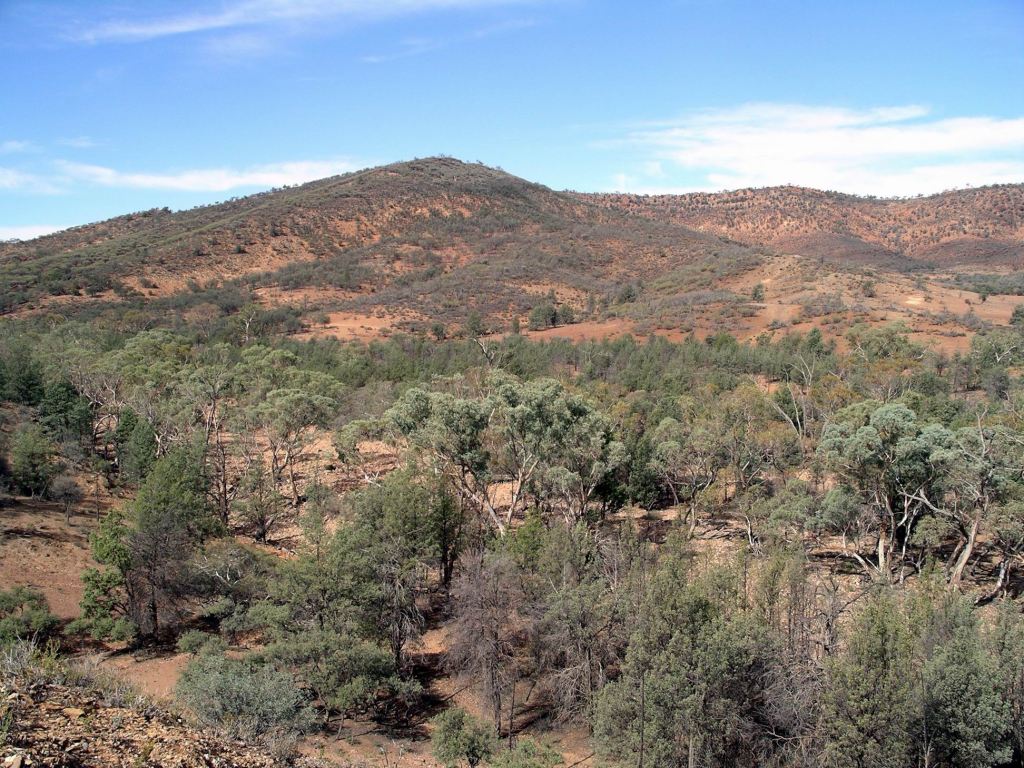
Continuing east, the section of road through Italowie Gap was particularly scenic.
We called in at the National Park Headquarters at Balcanoona, mainly to find out about any other track closures that might be waiting to ambush us. There were none. Came across an echidna there – it was trying hard to pretend we were not there.

It was late afternoon when we got back to camp, having driven some 180kms. Just a little extra adventure, beyond what we had expected.
Spent another evening around our campfire – sampling toasted marshmallows – followed by an early night. After today of sitting and driving, we decided upon a more active day tomorrow.
