This Adventurous Age

Adventures travelling and working around Australia.


Leave a comment

2007 Travels May 16

WEDNESDAY 16 MAY     COPLEY

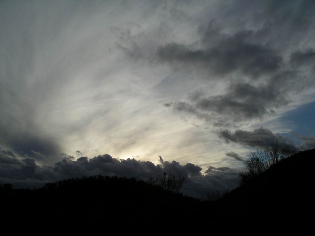
It was a fine day, with some cloud about.

M and I both rose at a respectable hour. While John slumbered on, we each did a load of washing. The chores had been neglected for a while now. You know it is time to act when you have to start inspecting the used undies in said washing basket to find some that could be recycled!

Once John was up and breakfasted, and had pottered about for a bit, we went for a walk  to explore Copley, in part because we had time to fill in before going back to Leigh Creek.

It did not take long! We bought an early lunch at the bakery, which was reputed in travel write ups as a must patronize place. John had a pastie. I had a sausage roll – which turned out to be still semi-frozen in the middle! I would not be recommending the place!

Drove to Leigh Creek to stock up on the fresh produce, which came in on Wednesday mornings. There was a much better selection of fruits and vegetables now, plus fresh bread (which the bakery didn’t have).

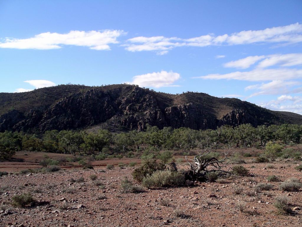
Took our bounty back to camp, then turned around and drove to the Heritage township of Beltana, some 35kms south of Leigh Creek.

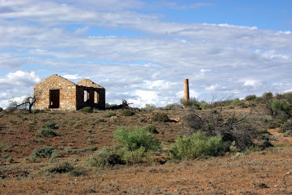
A few of the buildings here were still occupied, but others were ruins.

Beltana

The town was a thriving little one in the late 1800’s and early 1900’s. There were copper mines to the east to supply, as well as a few local pastoral operations. The TransContinental Railway to Marree and then Alice Springs, passed through it,  as did what passed for the main road.

But the copper mining declined. From the 1940’s coal was mined at Leigh Creek and a township established to service that. In 1980, the railway closed down, when the new route was established well to the west. Then the road alignment was shifted a few kms to the west – now one must detour from the main road to reach Beltana.

We wandered about Beltana for a little while, studying ruins, taking photos.

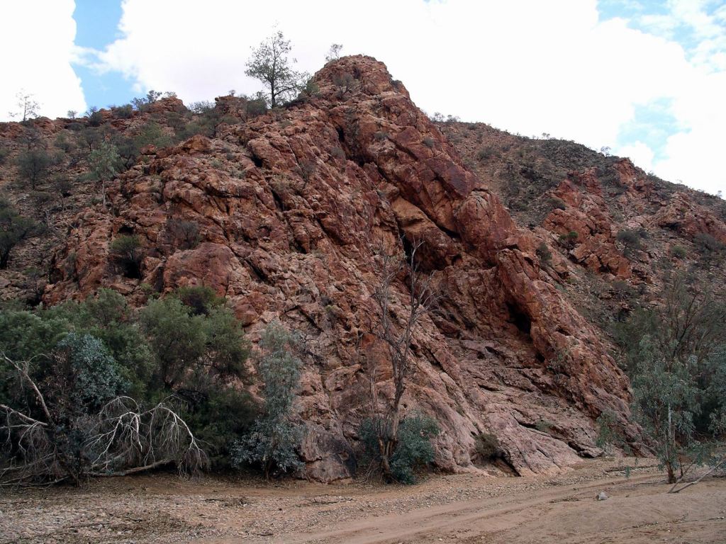
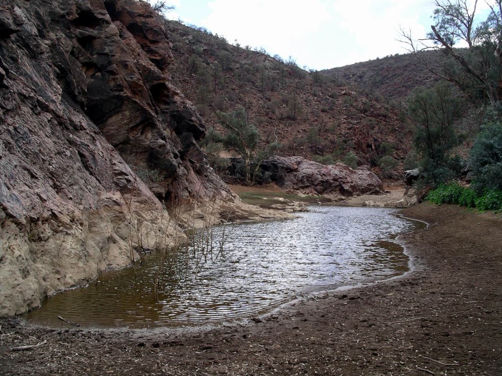
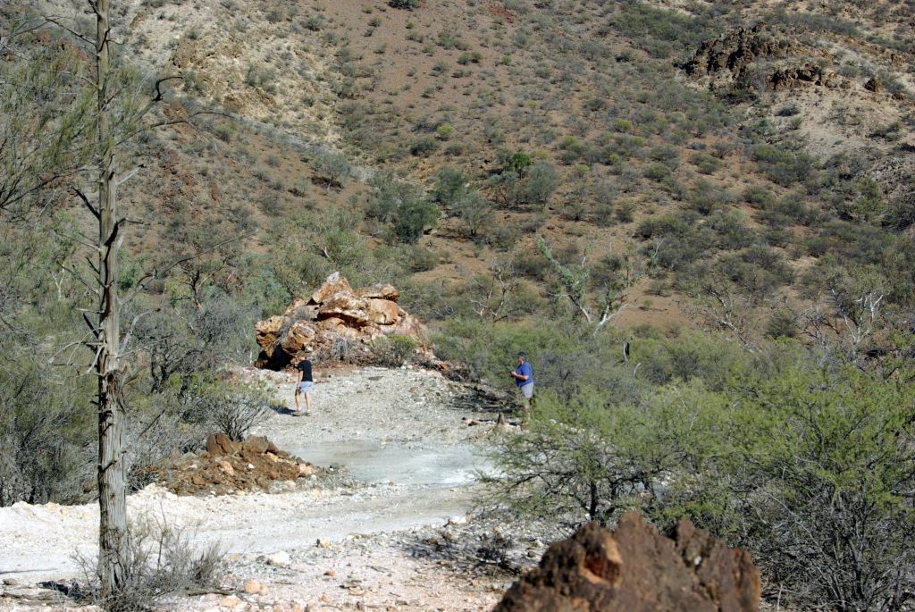
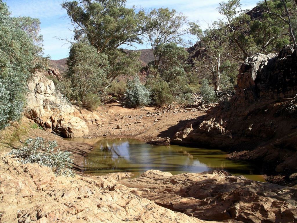
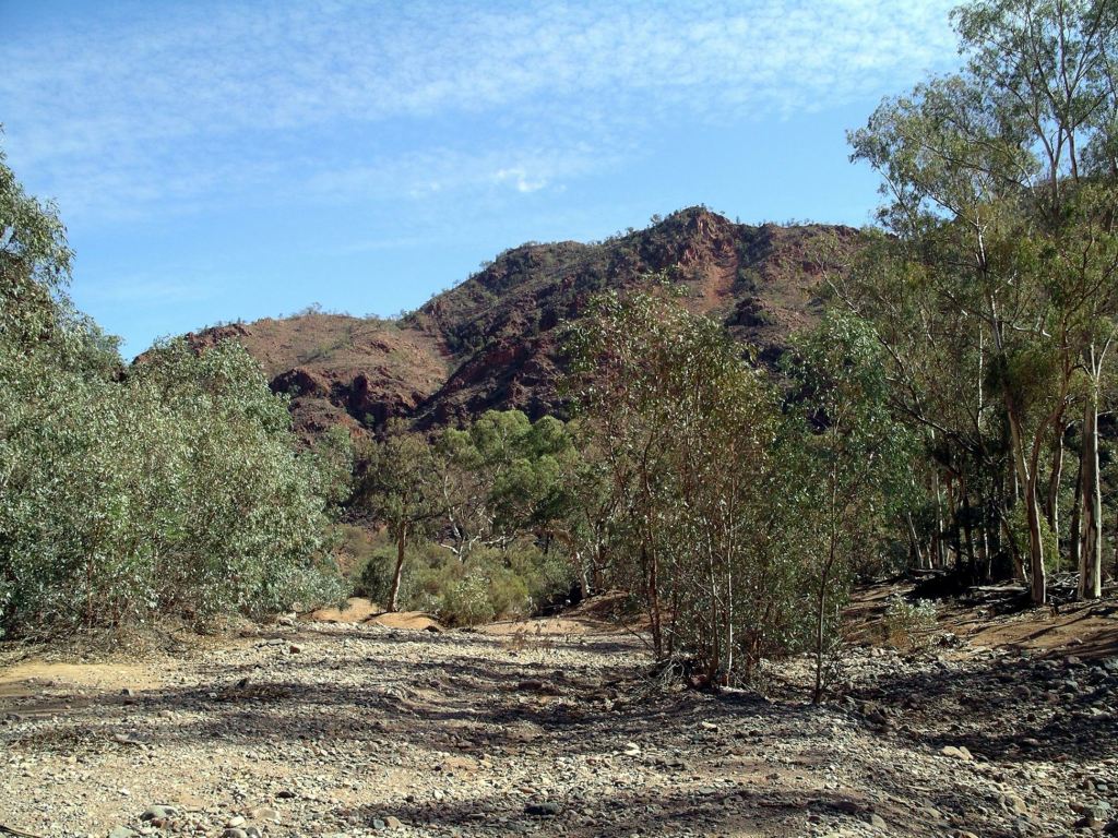
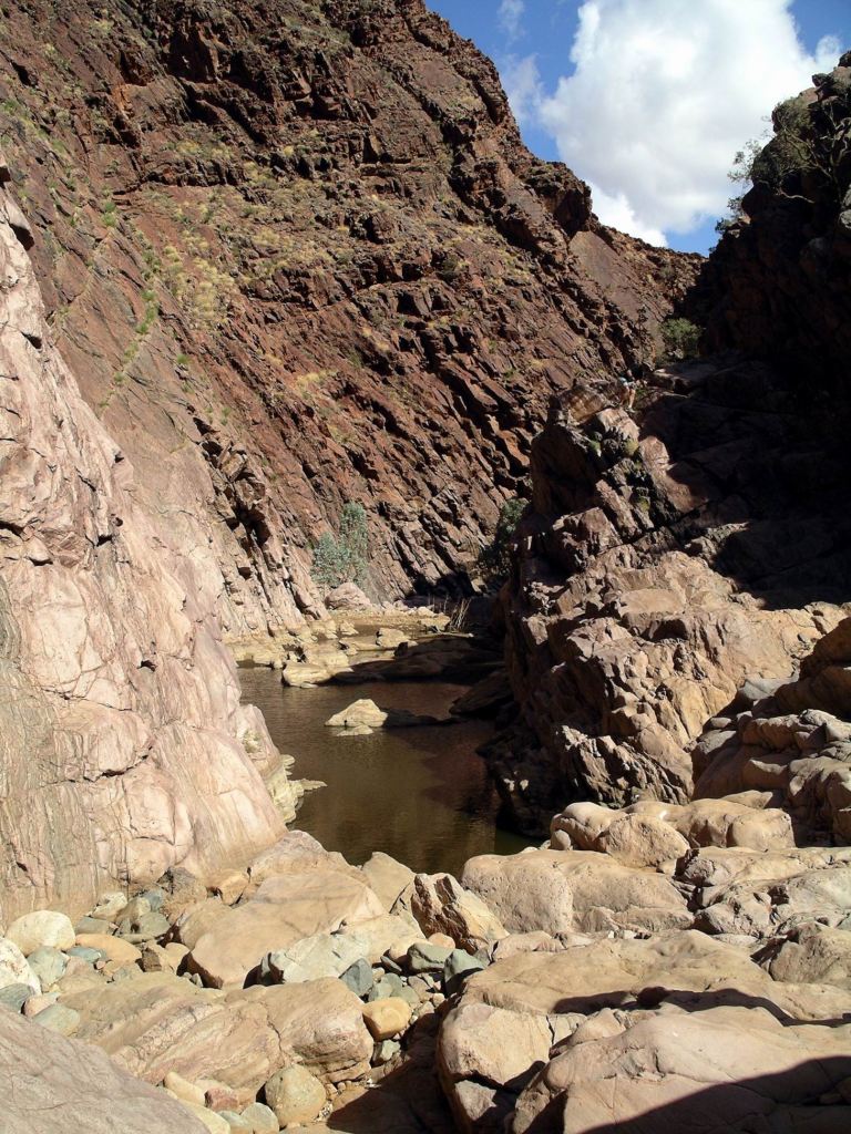
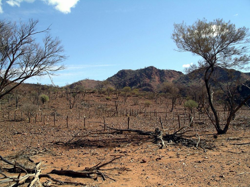
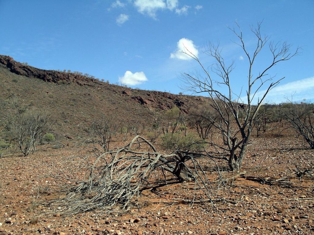
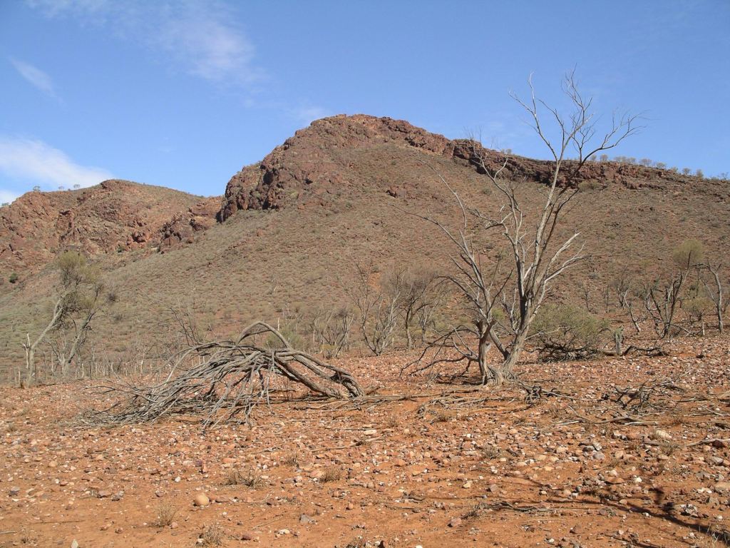
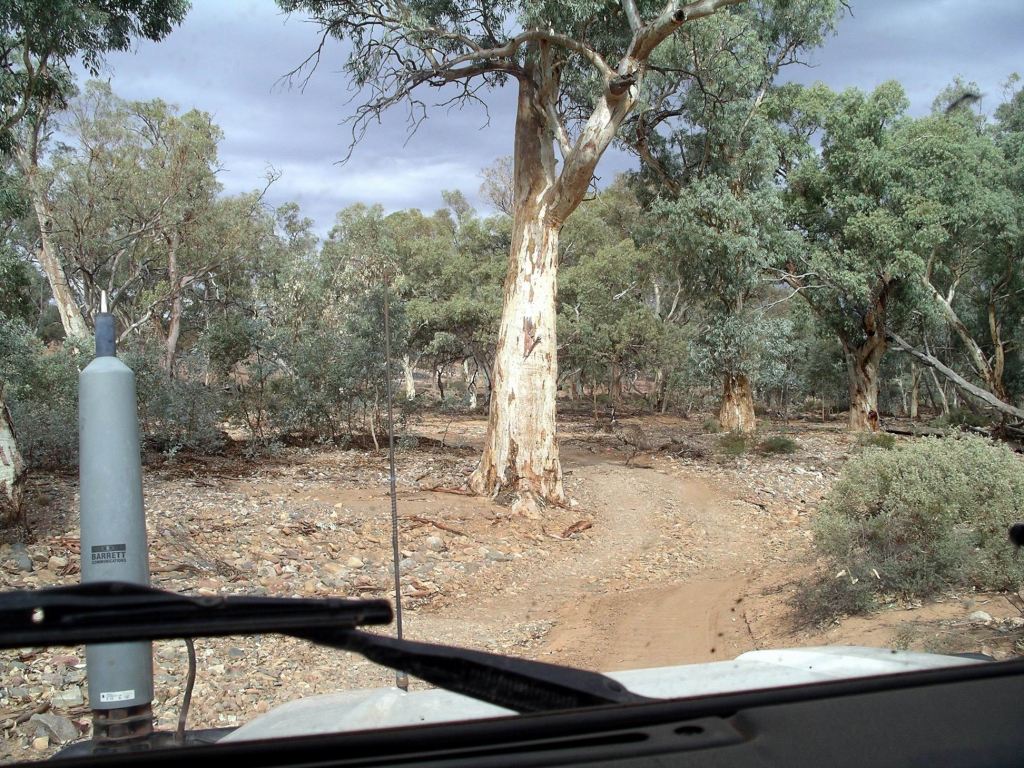
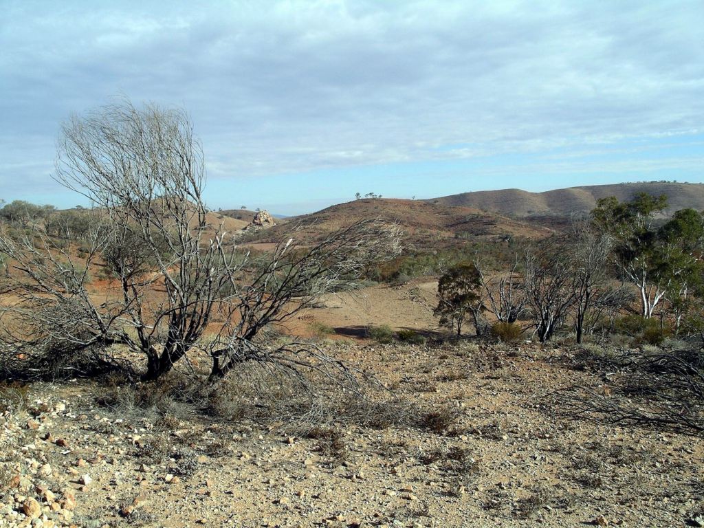
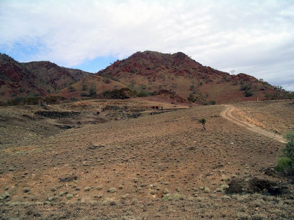
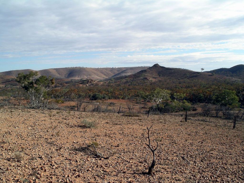
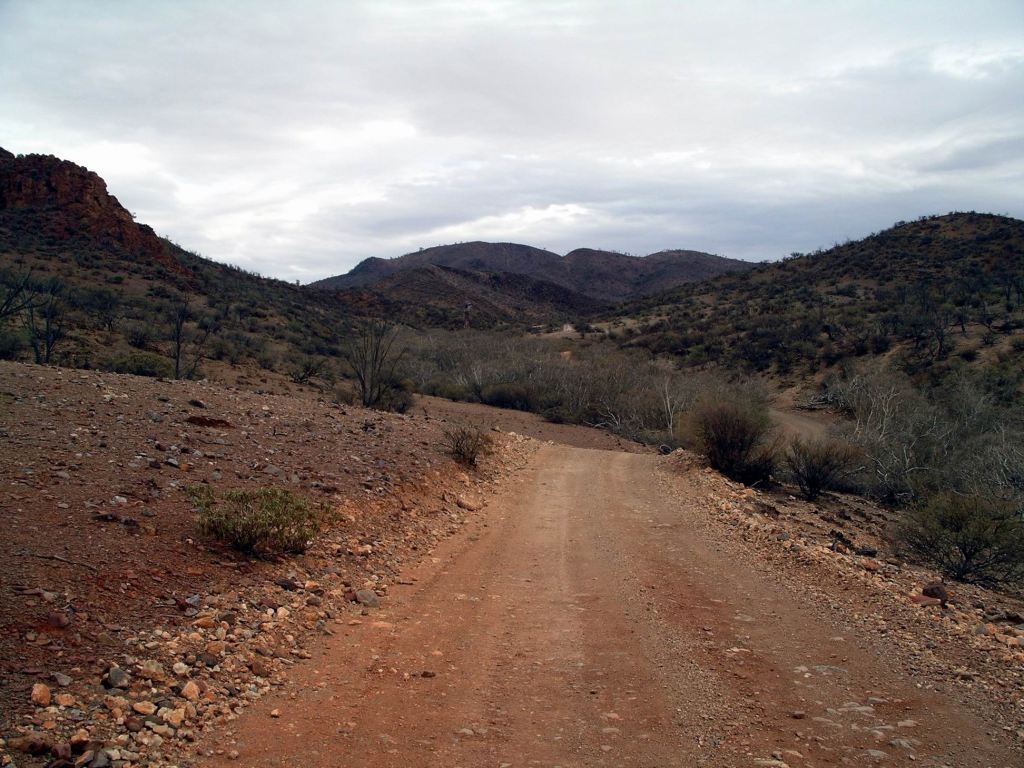
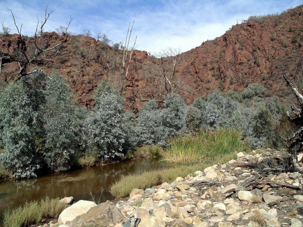
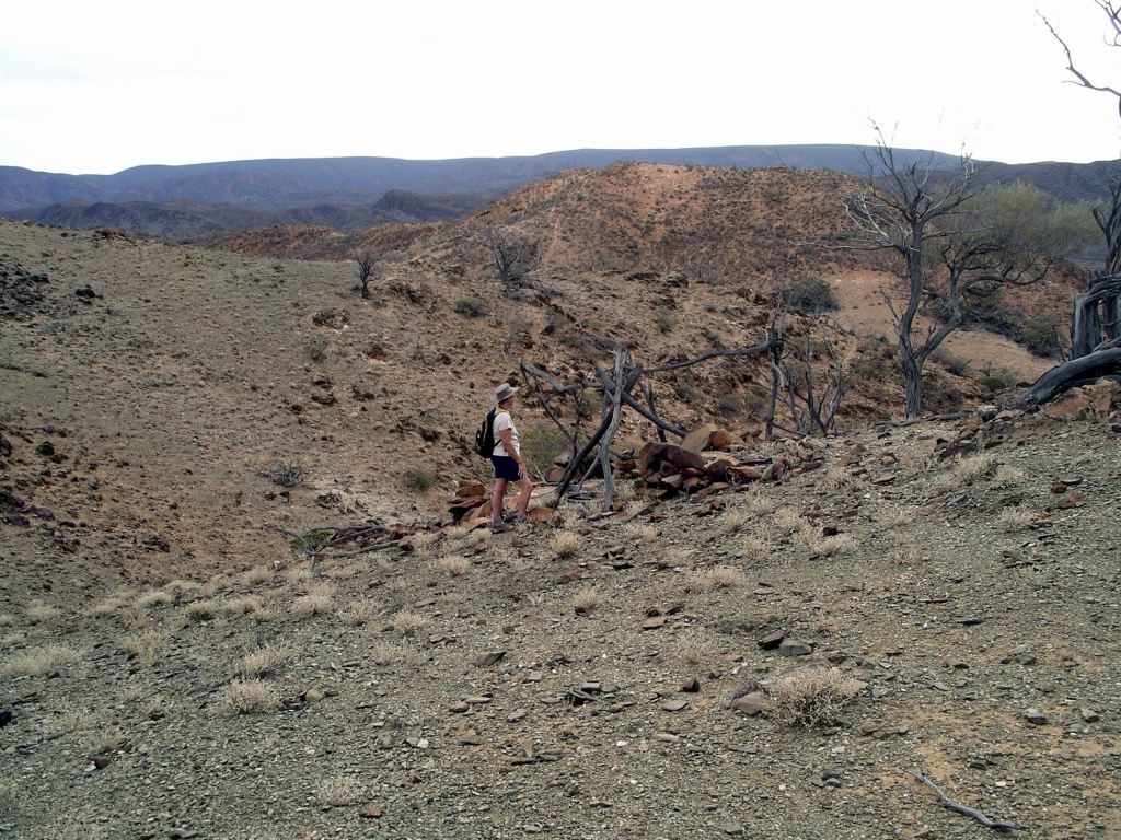
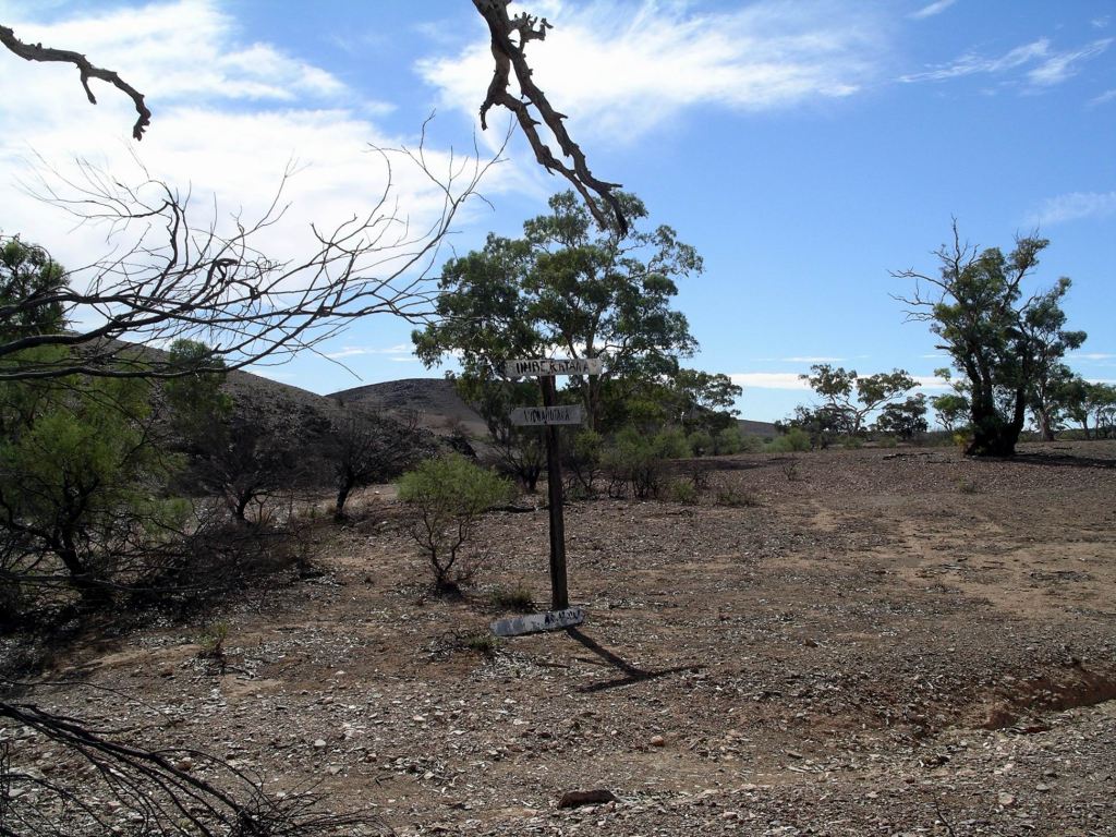
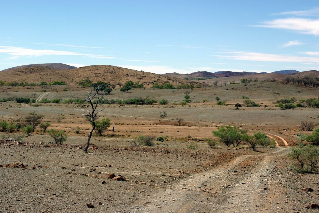
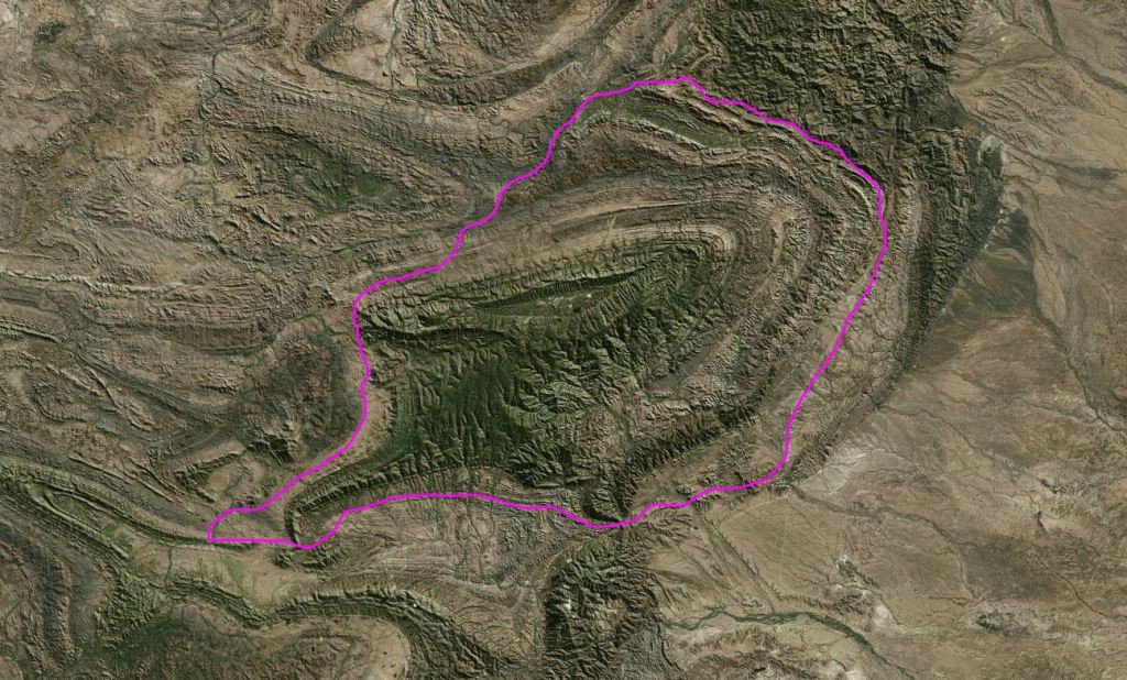
The ruins of the copper smelter and settlement at Sliding Rock, 22kms east of Beltana, was our next stop.  It was a little tricky, finding our way out of Beltana to the road we wanted – tracks everywhere and little in the way of signposts. (Last time we went out there, it was kind of by accident, so I didn’t really remember the way). We crossed the dry creek bed and headed in what looked like an easterly direction. It turned out to be the Warraweena road,  which was what we wanted. The gravel road out was in good condition.

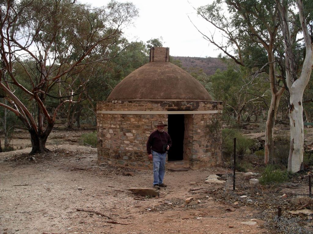
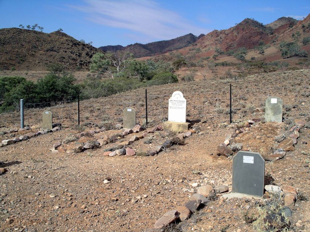
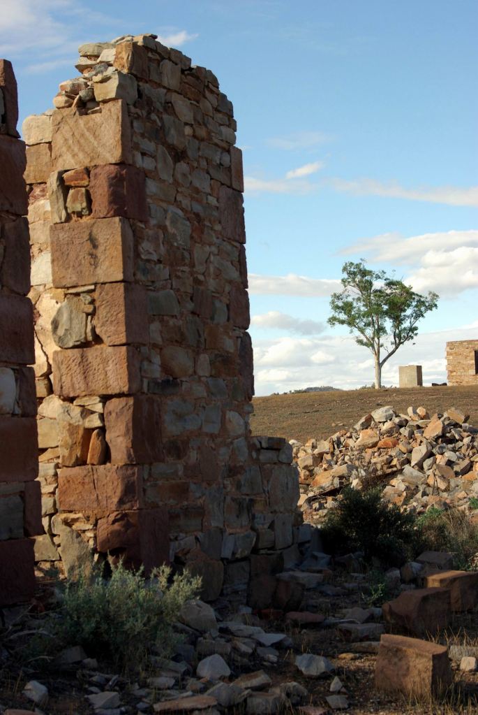
The copper mine at Sliding Rock started up in 1869. The ore was so promising that a smelter was built out there, and then a second one. A little township grew up near the mine, during the 1870’s and was gazetted as Cadnia.

Unfortunately, the early optimism proved premature – copper prices fell, the smelter machinery was prone to breakdowns, transport was difficult, underground water in the mine shafts was a major problem.  By the early 1900’s, the mine was closed and people were moving away to other places. The school house at Cadnia was moved to Beltana.

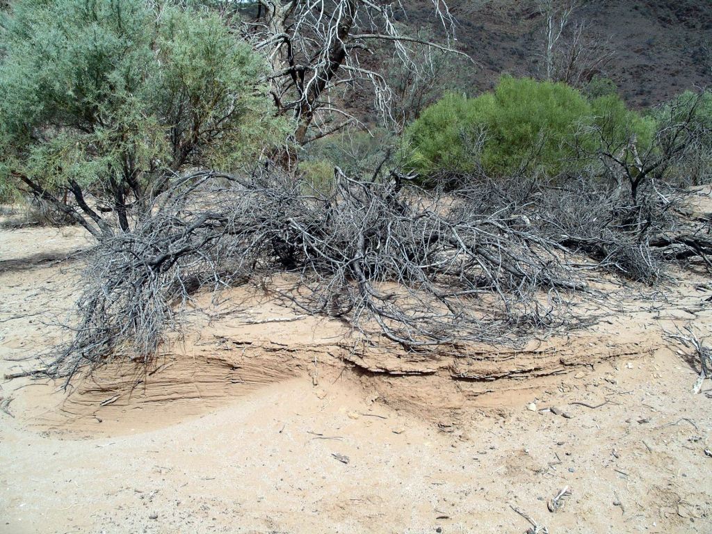
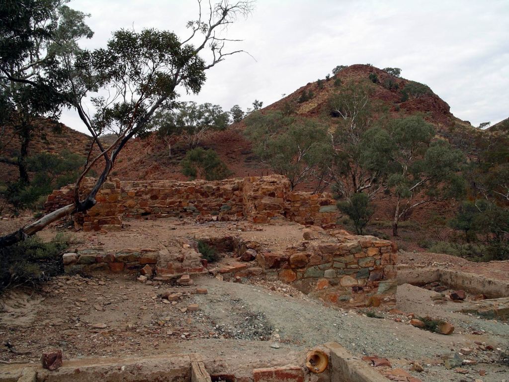
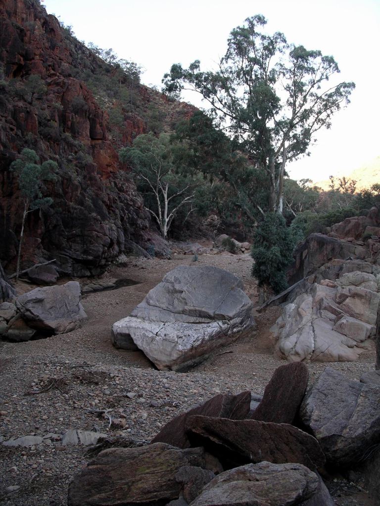
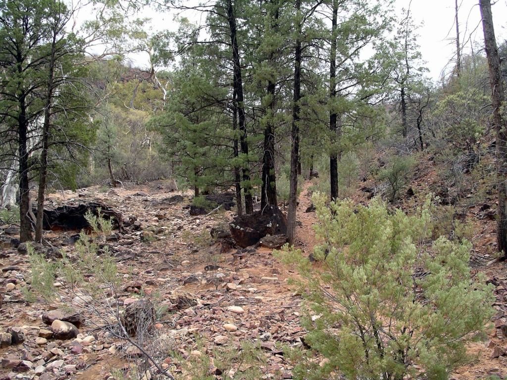
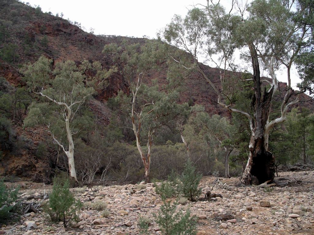
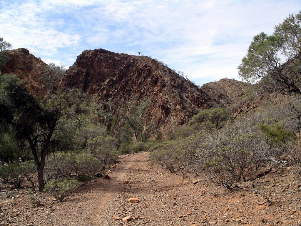
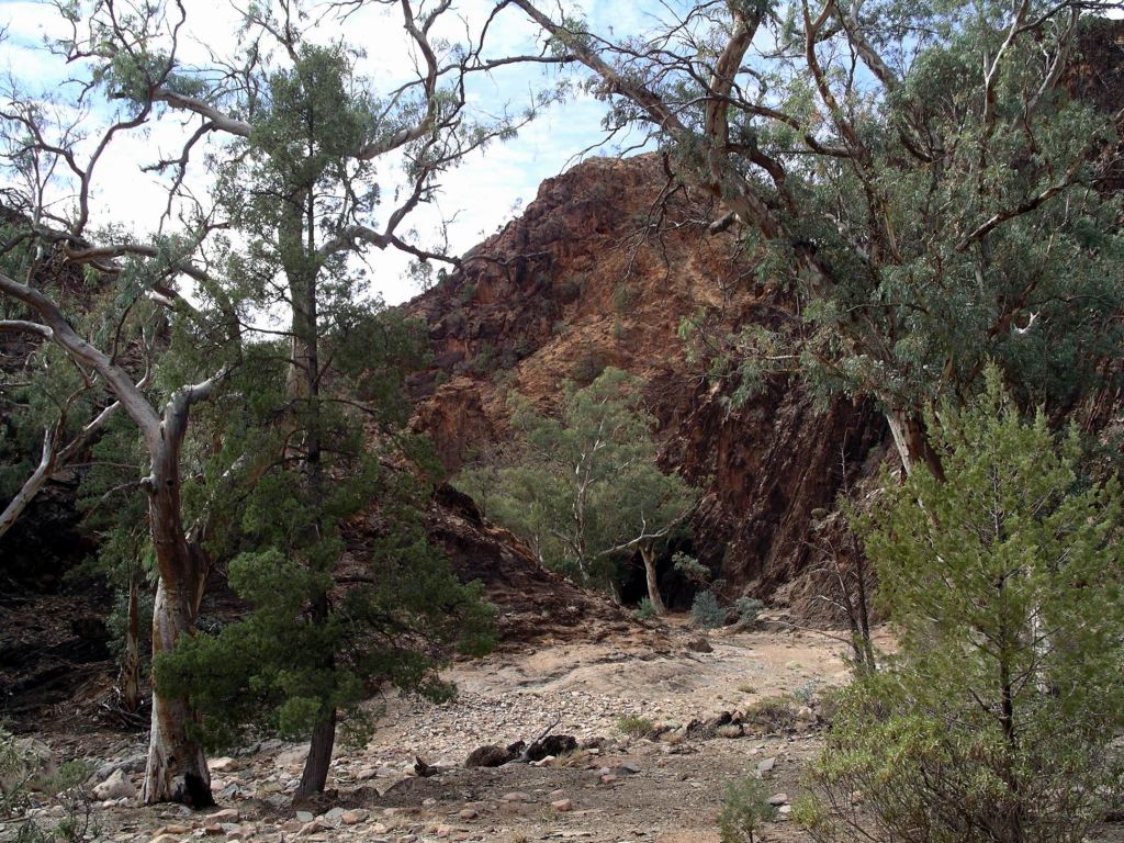
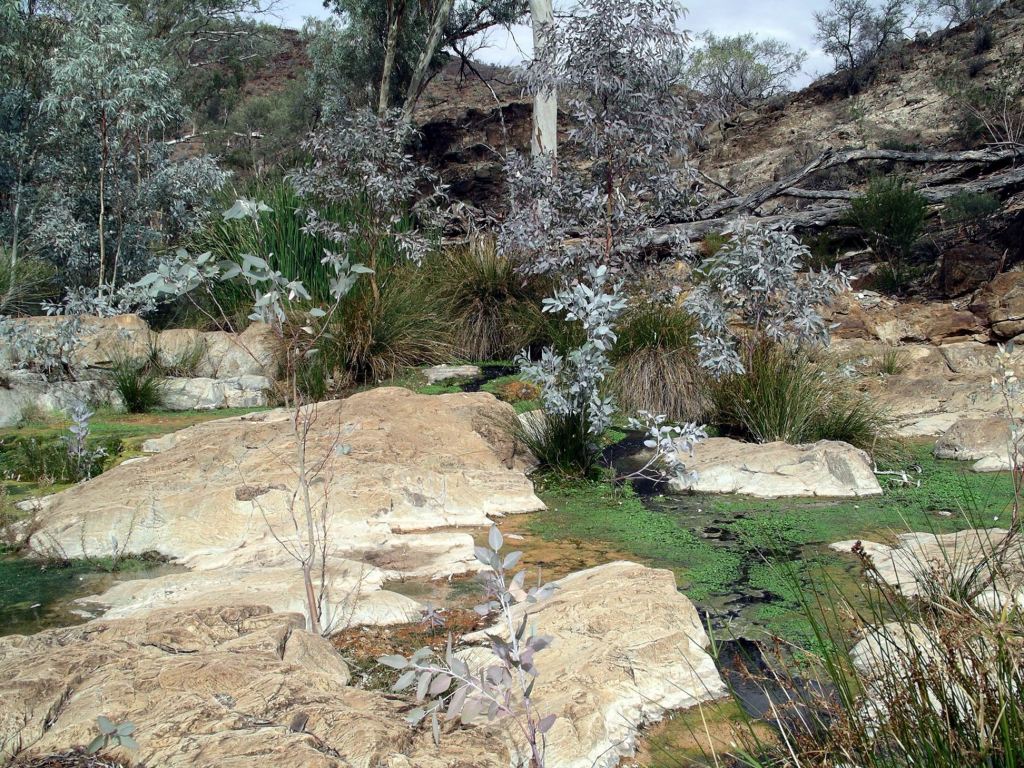
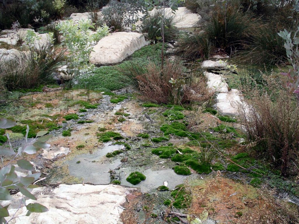
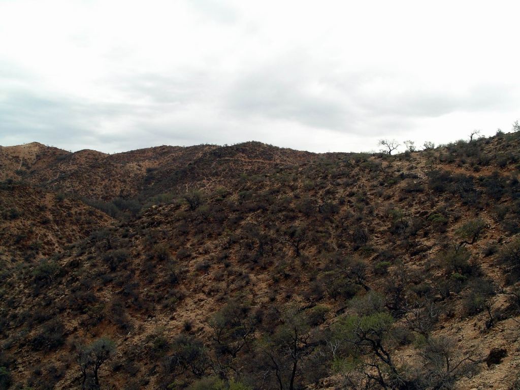
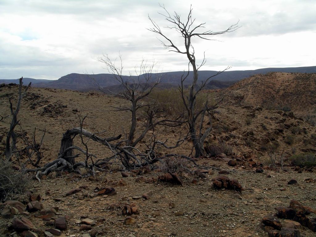
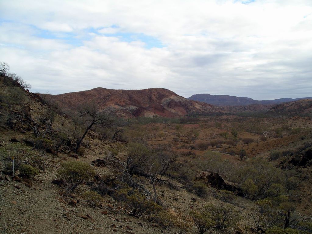
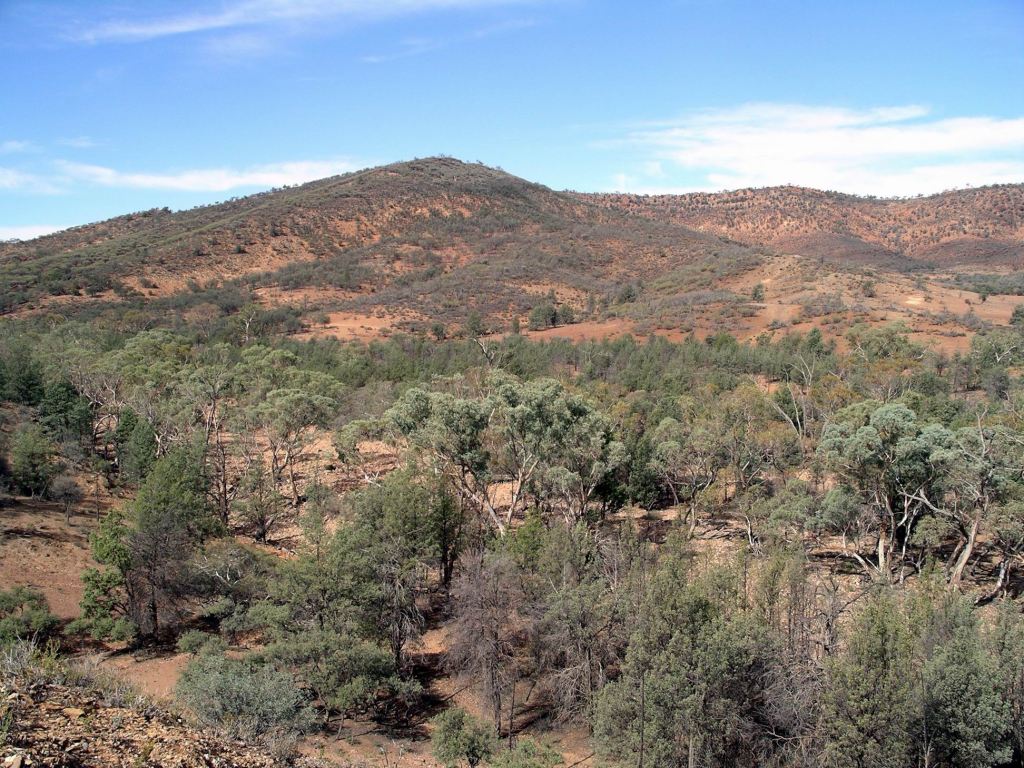
Now, it is just a collection of very picturesque ruins in a brilliant setting.

On one low hill are the remains of the smelter complex, and some distance away, on another rise, the township ruins.

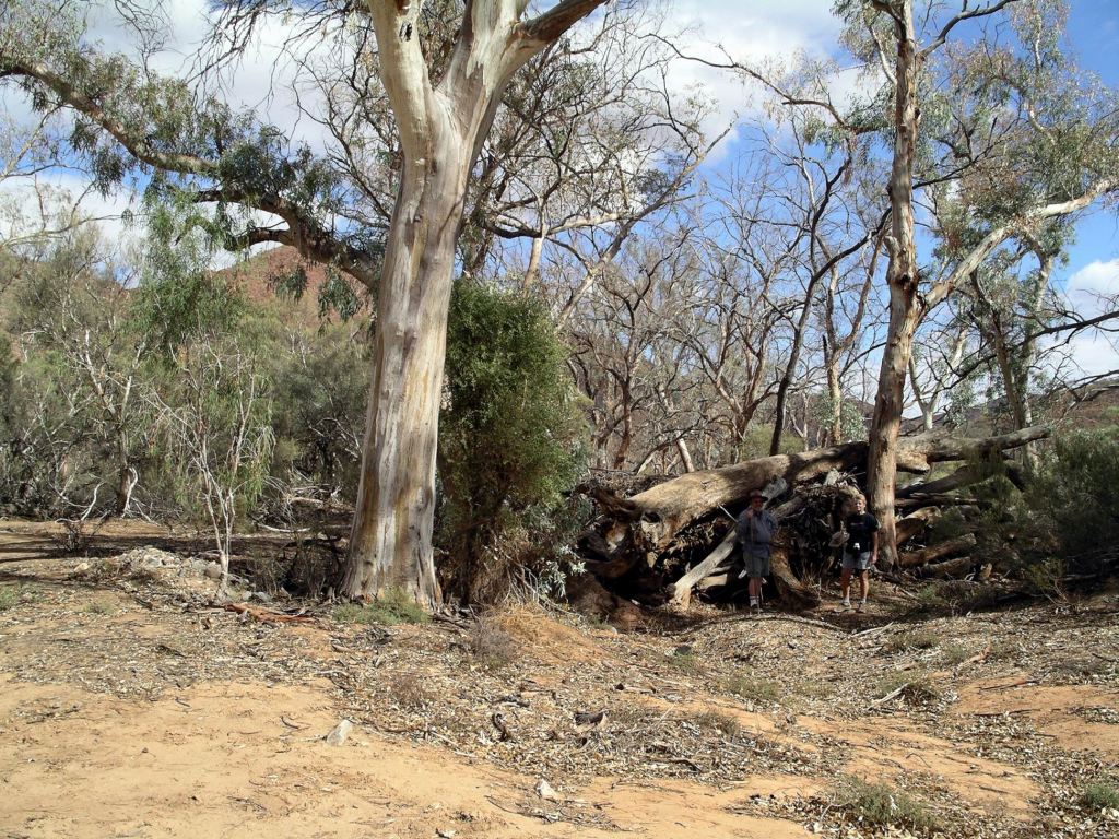
We wandered around the very scenically set ruins for a couple of hours.

Sliding Rock

This place is only about 30kms in total from the main road, on good gravel roads, but it was a measure of how far off the normal tourist trail it was, that in our time out there, we saw no one else. But then, I  guess the same could be said of most of the places we went at Arkaroola. But it seemed to me that travellers going through Leigh Creek and Copley are focussed on “the Tracks” – Birdsville and Oodnadatta – and do not stop to explore en route. They miss some gems.

A few kms further along the track from Sliding Rock is the Warraweena Homestead, which we had visited on a previous trip. Sliding Rock is located on the Warraweena property,. a former pastoral lease now turned conservation  land. Next trip up this way, we thought we’d like to utilize their bush camping area and explore tracks further east of here.

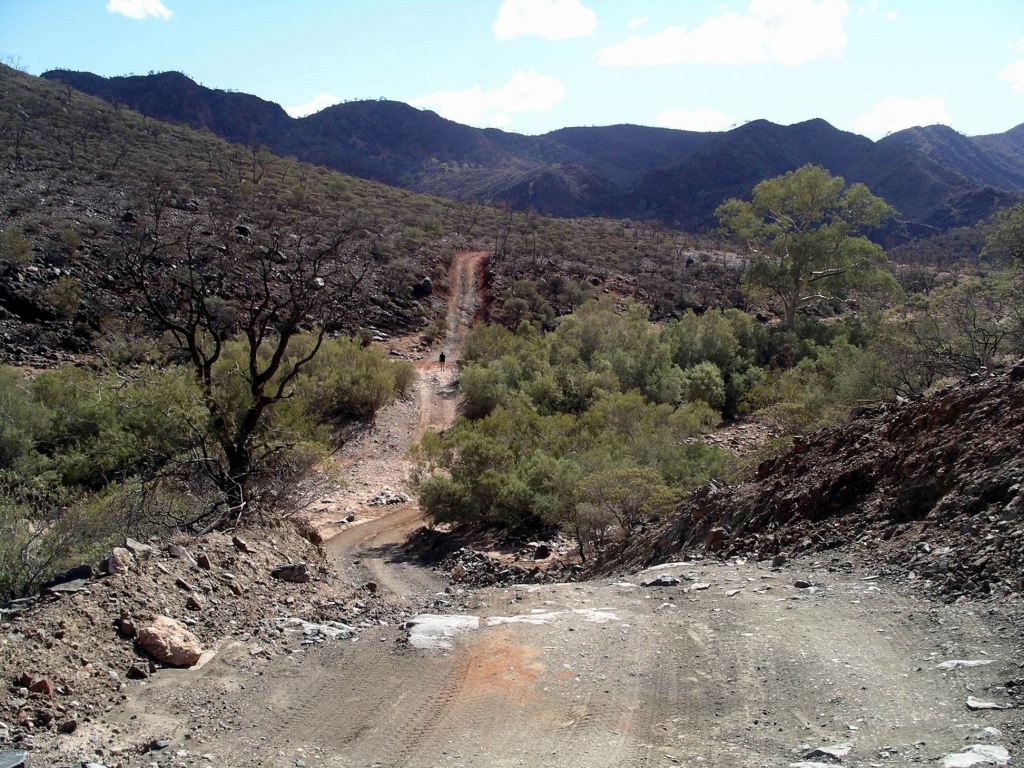
Drove back to Beltana and, for something different, took a dirt road north that follows the old rail alignment through Puttapa Gap and so back to the main road. That was an interesting way to go.

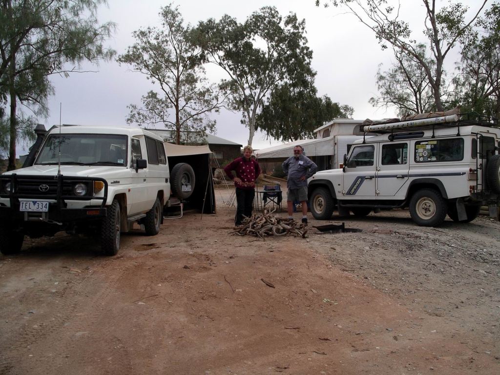
John refuelled Truck at Copley – $1.43cpl.

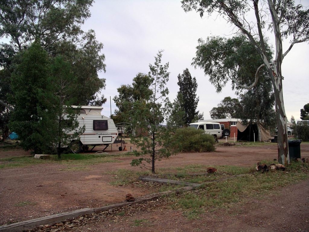
We were back at camp in sufficient time for me to roast a chook for dinner – in the electric frypan, outside,  as I always do my roasts when travelling and on external power.

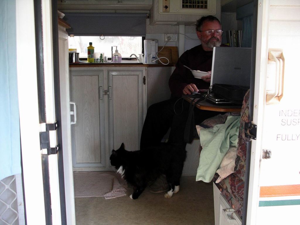
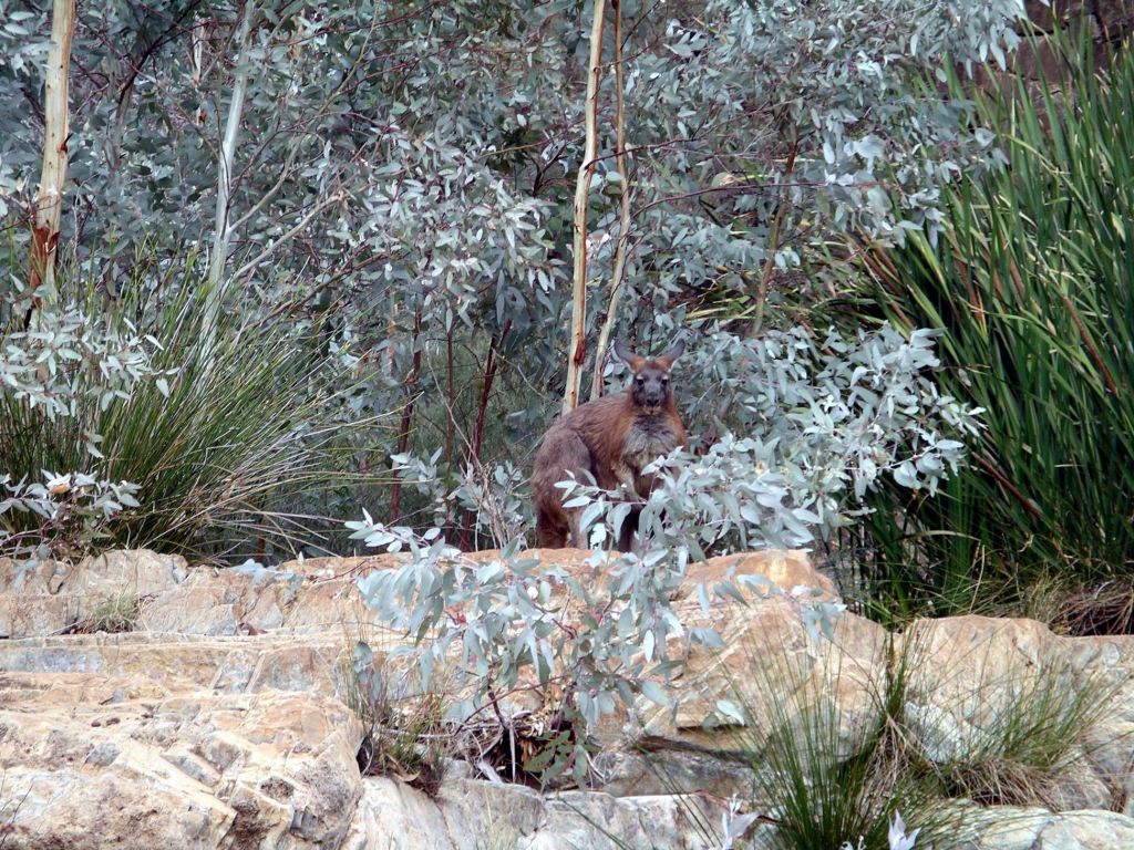
While dinner was cooking, and M and I were getting our washing off the line, John downloaded the photos that HE  had taken, to date, on the new Pentax digital SLR camera that was MY Xmas present! He was very pleased with the results, especially the ones he took out at Sliding Rock today. He named them and burnt a backup copy to a CD.

We made some phone calls. Sent emails to family and to house sitters asking for mail to be forwarded to Alice Springs.

There was an email from the construction company we had worked for, saying they were about to pay in John’s super – it had been held up for some reason, whereas mine had been fine. Almost $4000 worth – wonderful!

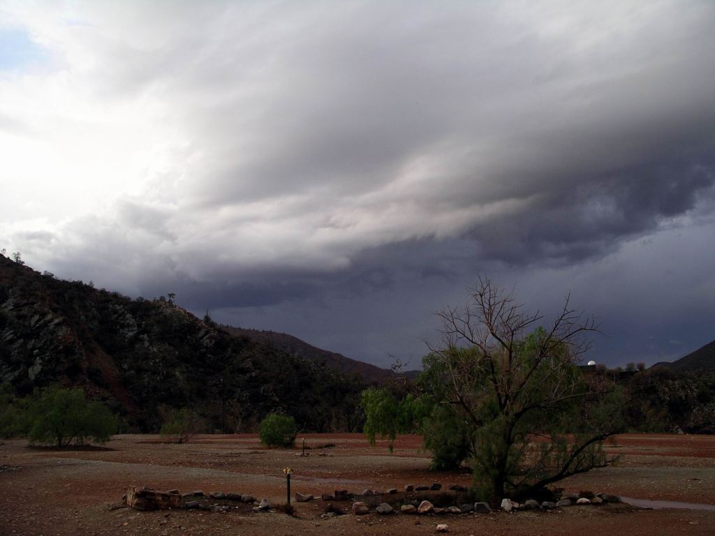
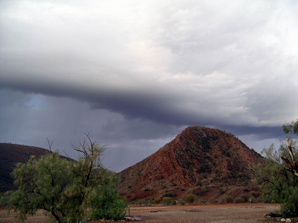
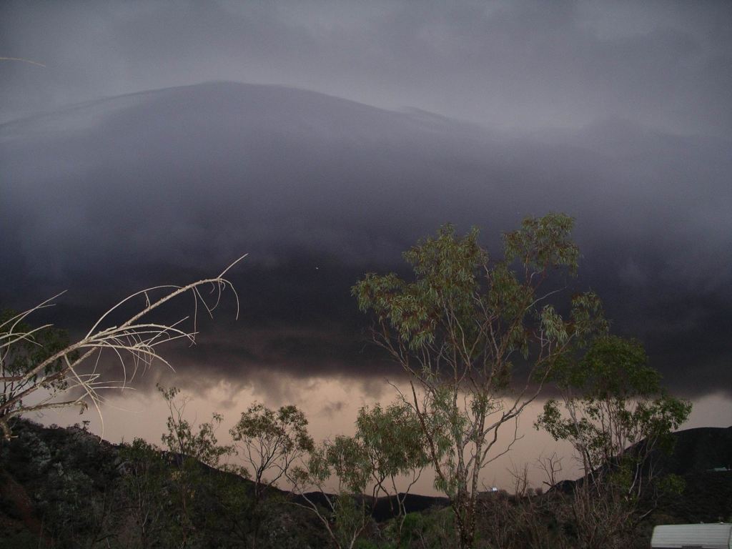
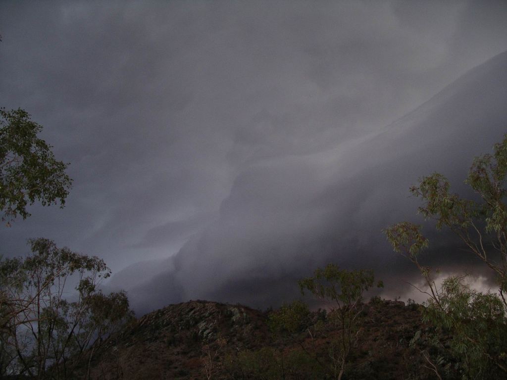
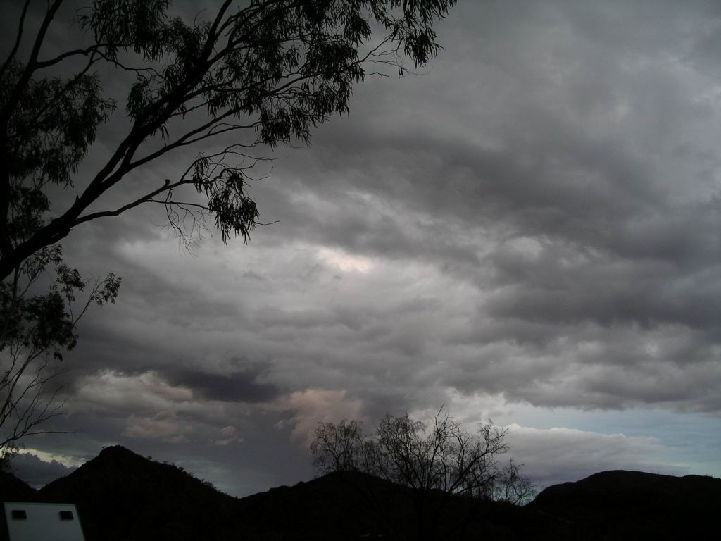
Through the evening, we could see much lightning flashing away in great sheets across the sky, to the east and south-east. Apparently Broken Hill, Tibooburra and Poochera all had heaps of rain – and very large hail stones. We fervently hoped that weather system did not migrate north!


Leave a comment

2007 Travels May 15

TUESDAY 15 MAY   ARKAROOLA TO COPLEY   130kms

After last night’s grand finale, it was time to depart Arkaroola!

With only 130kms to go, we could afford a leisurely pack up. There was quite a lot of wet stuff – our awning, but especially M’s living tent.

At the office, I handed in the Visitor Survey form that we had been asked to complete. I thought that, after eleven nights here, we could give a more accurate assessment than many campers! I was critical of the quality of the Reception staff who, a lot of the time, seemed totally disinterested in what they were doing and in us and our tourist experience there.  In tourism operations, front-line staff are so important….

The Road Conditions board just outside Arkaroola indicated that the Strzelecki Track was closed. Good thing we were not planning on going to Innamincka.

The many little floodways/dips between Arkaroola and Balcanoona – some of which we hadn’t even noticed in our previous drives – had received a water flow during the night, evidenced by debris on the road. Even small rocks and bushes had been moved! Some still had a little water in. The amount of run-off there had been surprised us. Maybe it shouldn’t have, given how much run off ran through our camp!

Balcanoona Creek was still flowing – good to see. The ‘roos appeared to think so, too, judging by the numbers we saw.

After Balcanoona, the way was much drier, and the road surface was pretty good.

It was a scenic run, for much of the way.

Balcanoona-Copley road

We booked into the Copley Caravan Park for two nights. Our powered site cost $22.50.

After setting up and having lunch at the van, we drove to nearby Leigh Creek, to shop for food.

Copley Caravan Park

Copley was really just a small village, with a very pleasant caravan park. There was a hotel and bakery, and a bit of a general store, but we needed to do a serious re-stock. Leigh Creek, 12kms away, was one of those soul-less purpose built mining townships, containing the supermarket we needed.

Even though the fresh produce, we found, was not due in until tomorrow, I still managed to spend $256 at the supermarket! Well, it was nearly two weeks since the last re-supply, and should be at least a week before the next. We would have to go back tomorrow for bread, fruit and vegetables.

Visited the Information Centre and picked up some brochures and maps. They were selling locally stencilled T-shirts – remainders, I thought. $5 each – can’t go too wrong at that price. They had a sort of stylized serpent on the front. I bought us one each – a nice dark green and a navy – good for not showing the dirt, which was a pre-requisite of travel clothing for us.

There was a group of indigines staying at the caravan park – led by the well-known Geoff Clarke, who came over to chat to us whilst M was setting up her camp. He was not as tall or big as he appeared in the media. He was taking a group of youths/young men from down Yambuk way to become acquainted with “outback” aboriginals. He did not really explain what this was supposed to achieve.

Late in the day, John was working on his laptop, in the van, with the door open. He was visited by a black cat. It just strolled in as if it was totally entitled and proceeded to make itself at home. Was this some sort of omen?

Do we want a caravan cat?

Through the evening, we could see flashes of lightning away to the south east.

Leigh Creek coal mine visible on this satellite photo


Leave a comment

2007 Travels May 14

MONDAY 14 MAY     ARKAROOLA

It was a lovely, sunny morning.

In keeping with our alternating days policy, we decided to walk to Arkaroola Waterhole, about 5kms each way from the Resort.

This route, broadly, followed the Wywhyana Creek, to its junction with Arkaroola Creek, then went upstream along the latter to the waterhole.

The first section from the Resort, was along the same road track we’d driven yesterday, on the way to the Echo Camp track. So we had driven it, but knew it would be a pleasant, scenic, walk.

Attractive country for a walk

Yes, the walk was varied, and all on gravel roads. There was quite a bit of up and down work, parts of it quite strenuous. Funny how you don’t notice that from a vehicle!

We left camp at 10.10am, and got back at 1.40pm. Not bad. John found the last couple of kms tough, which rather surprised me, after the other, longer walks he had recently done.

Caught-up flood debris showed the extent to which Arkaroola Creek could flood….

There was still a little water in the Arkaroola Waterhole. We saw ten feral goats around it. They had made stringent efforts, here, to get rid of these pests, because of their drastically bad effect on native vegetation, and had succeeded in really reducing the numbers. But, obviously, some had still survived. They were very people shy and ran off as soon as they saw us.

Arkaroola Waterhole
Today’s “arty” photot…..

There had been a cloud build up through the morning and there were a few spits of rain, just as we got back to camp. Then the heavens opened and there was a real deluge, complete with thunder and lightning. This continued through the rest of the afternoon, and made the camp area pretty sloppy.

Threatening skies over the campground. The shining dome was one of the observatories

M had a stream running through her camp.

There were, at times, some very spectacular skies.

The lightning continued, in the distance, after dark.

No campfire tonight – for obvious reasons……

We watched the ABC News on TV – hadn’t done that for a while.

Retired for the night, wondering if the road would be open for us to leave tomorrow, as planned?

Found out later that there was 16mm of rain here through Monday afternoon and evening. It had felt like a lot more.


2 Comments

2007 Travels May 13

SUNDAY 13 MAY    ARKAROOLA

Today, as the weather seemed favourable (dry!), and we were running out of time, we set out to do the Echo Camp Backtrack drive. John and I had done this on a previous visit, in the old Hilux and it was certainly at the limits of vehicle, novice 4WD driver and nervous passenger at that time.  I was curious to see if it seemed as hard, this time round, with the vastly greater experience we’d had since – and with the much more capable Defender.

For M, it would be good practice at driving this type of terrain.

Mt Oliphant

Went to the Office to pay the $40 per vehicle fee to drive this locked off and private track. Signed the required indemnity form and collected the key. The payment was fair enough, as the Resort had to upkeep the track.

The guiding brochure said that the track classification was “Extreme 4WD”, requiring Advanced Driver Experience! If drivers undertaking this route did not check back in at the Resort, within what they thought was a reasonable time, they started up a search and rescue operation, and said driver had to pay any costs!

We drove out past Mt Oliphant, the same road to the north that was the access way for the Ridge Top Tour. A little way after that turn off was the start of the one-way 11km Echo Camp Backtrack, which eventually met the Paralana Springs road, and a (comparatively) easier route back to camp.

The track started off by showing that it meant business! Once through the gate we had to unlock, there was a steep climb up Dinnertime Hill. It was evident that this bit – steep, twisting, loose surface – had caught plenty of drivers unprepared and they weren’t in low range when they should have been! I wondered if any had given up at this point, turned around and gone back?

Overall, the track was much worse than we expected, and certainly seemed much harder than when we did it years ago. Much of the track deterioration, and hence problem driving conditions, was due to poor driving skills – uphill sections cut up by drivers changing gears/spinning wheels part way up, instead of selecting the appropriate gear before starting the slope.

Appeared that a lot of drivers had issues on this section!

They might say it needs Advanced Driving Skills, but they’d certainly had plenty of drivers along the track with not much driving skill at all!

We needed low range (so-called) in the Defender – actually some kind of diff lock, I think. Whatever, it always worked well. M’s Troopy – in “proper” low range – gobbled up every difficult bit – great vehicle, nearly as good as Truck! Although, we occasionally had campfire “discussions” over which was the more capable vehicle.

There were more very steep downhill sections than I remembered, too. I wondered if they had altered the route, since the 90’s?

We crawled up the very steep, chopped up  section  at the start of the track , just after the gate. Parked at the Dinnertime Hill turn out for a photo op. I walked part way back down the hill to take a photo.

Inspecting the track we had just come up…

A short way further on was the first of the very steep downhill sections. One of those where you come up the rise to the crest, with no idea of what is in front, then the vehicle kind of tips over the crest and starts down. I remembered when we first drove this track and I was changing the film in my camera at this point. I got so scared that I opened the back of the camera without rewinding the film first!

Via CB, we advised M to wait at the top, on the crest, and we would film her descending, from a point part way down.

Took a little side track, in to Echo Camp Waterhole, on Arkaroola Creek, which this route now followed for some way. We wandered about for a little while, looking at the creek and waterhole, and enjoying the bush.

Waterhole at Echo Camp – very drought depleted

A further 4kms on, over lots of ups and downs, and surrounded by brilliant scenery, we came to a track junction – the way out to the left, Barraranna Gorge straight on.

 A quick survey showed us that the start of this side track was pretty rough, so we decided to leave the vehicles and walk the 1km to the Gorge.

Track into Barraranna Gorge

That little expedition took us about an hour, by the time we explored the gorge a little bit. I was not sure it was worth the effort, but the walk was pleasant enough. It gave us a good chance to take in the scenery, something the two drivers did not get to do much, on tracks requiring real concentration.

M out in front, as usual….
Barraranna Gorge

There was still a little water in the rock pools in the gorge.

Where we parked the vehicles, to do the walk, was a set of old sheep yards – still standing because they were made of termite resistant mulga.

Old sheep yards
My fascination with the shapes of dead mulga was getting a workout, this trip

We continued on the one way track. This became somewhat easier after the gorge junction, but perhaps not quite as scenic.

M following along behind us…..

By the time we reached the junction with the Paralana Springs track, John and I were all gorged and 4WD-ed out! We opted to drive straight back to camp. This was a fair drive in itself – maybe 15kms, and was attractive, along through Claude’s Pass.

I had been trying to remember back and really didn’t think that the track of the 90’s came out so far from the Resort. I wondered whether it had used the route through Spotted Schist Pass, that was now washed out? But the memory can play tricks….

Route of Echo Camp Back Track. Circled are Echo Camp Waterhole & Barraranna Gorge

M was still feeling adventurous and went off on a different track to visit Tillite Gorge, which she reported later was not all that special.

We reported ourselves back in at the office. M reported when she came in.

Had our usual night time sit around the campfire.  M was really stoked about the type of driving we had done today, and how well both she and the Troopy managed it. Great boost to her confidence!

This slow, quiet socializing was a most enjoyable aspect of this trip, to date. John and I have long had a general policy of not travelling with other people – leaving us free to do exactly what we want. However, M is the one person we have made an exception for. Might have something to do with she and I knowing each other for over fifty years, and having trekked and hitch-hiked our way around parts of the country, in our adventurous late teens! A friendship forged in some interesting “adventures”…..


Leave a comment

2007 Travels May 12

SATURDAY 12 MAY     ARKAROOLA

It was a quiet camp day for John and me. John had done a lot of driving and walking since we had been here so it was time for a little rest. We tended to forget that it was only three months since shingles had really knocked him about and deprived him of any energy, for ages.

I now had a sore knee. Suspected it was from trying to favour the ankle with the sore Achilles, when walking.

It was a rather cool day, but with blue sky. Later in the day there were some interesting cumulus clouds building up.

M – ever energetic – was feeling like doing more walking. She decided to tackle the 15km Oppaminda-Nudlamutana Walk, which she thought looked interesting. It was not one that interested me, though, because the route went up and over Mt Warren Hastings – 590 metres asl. I try to avoid walks that go up and over mountains! Even up and over steep hills…..

The trail could be picked up from the campground, so she set off at 9am. She reported there were great views from the top of Mt Warren Hastings! Then the route passed Nudlamutana Hut, before arriving at the Balcanoona road, about 9kms south of the Resort.

As we’d arranged, at 12.30 I drove out the Balcanoona road, to where the end of the walk track met that road. I was expecting to have to wait for a while for M, and had taken a book to read. But she trudged up to Truck at 12.45pm. That woman can walk! She had done the walk in very good time, but was stuffed!

M’s walk

We all lazed about camp for the rest of the day.

The Road Conditions notice board on the way out of Arkaroola Village said that the Strzelecki Track was closed. Some of those dark clouds we had been seeing to the north must have dropped a heap of rain on it. From Balcanoona it was possible to get to the Strzelecki Track on a back route that went through stations like Moolawatana and met it near Mt Hopeless. On one of our school holiday trips in the early 90’s, we’d come that way after a camping trip to Innamincka, and found it quite a straight forward and pleasant drive.

Through today, there was more cloud building up in the distance.


1 Comment

2007 Travels May 11

FRIDAY 11 MAY     ARKAROOLA

We seemed to have adopted a pattern of one walking day, one driving day. Today was another driving one, but John needed to refuel Truck first at the Resort’s garage – $1.50cpl.

We headed west from Arkaroola, with the two vehicles.

Track to BollaBollana

First stop was not far, only about 5kms out, at the Bolla Bollana ruins. There had, briefly, been a copper smelter here, in the late 1870’s.

Kiln

The most obvious remaining feature was a conical structure which was probably a kiln for making fire bricks for the smelter structures. It remained fairly intact. There were, in fact, lots of old bricks scattered about the ruins.

Slag heaps and scattered bricks at Bolla Bollana

A straight channel in the ground may have been some kind of underground flue, connecting the smelting furnace with the chimney that would have been there. We presumed it had collapsed in on itself.

Bolla Bollana was in a valley – at the moment  with a dry creek bed. There was a waterhole nearby. This presence of water, which was scarce near the actual copper mines further  north, plus  nearby timber, explained why the smelter location was here, rather than at the Daly and Yudnamutana mines.

Copper was mined throughout these parts, in the latter part of the 1800’s. It never ceases to amaze me that such deposits were even ever discovered in such remote and inhospitable parts, let alone mined. Mining companies were formed, came and went – often with little return and considerable loss to those who were shareholders. Places like Yudnamutana were such a huge investment, in terms of human effort and suffering, for – often – so little return.

We wandered around the smelter site for a while. Apart from the kiln and channel, there were a few piles of stones/bricks about. This was not all due to the ravages of time: parts of the structures were demolished to be used elsewhere.

The original intent was to smelt the copper from a number of small mines in the surrounding ranges  – the Freeling Heights. However, the smelter was not particularly successful, only managing to process a small quantity, and it was superseded by a new one built at Yudnamutana, after a process was developed that was not as reliant on timber (for charcoal) and water. Then the whole lot were superseded by the shutting of the mines!

The structures that remain are interesting. There would have been a small settlement, too, of workers and families, maybe some sort of store.

I found the scattered mallee type trees here, really interesting, with their upper coloured branches.

Next stop, another 12 or so kms further on, was at Wheal Turner – again, the remnants of a copper mining operation, this time on a hillside. There was an ore crushing plant here too. There were foundations of buildings evident.

Wheal Turner ruins

Then it was on again, seemingly further into the wilds, to the extensive ruins at Yudnamutana, at the edge of the Freeling Heights.

Freeling Heights
The mud map we were working from……

The drive in here was a really pretty one, the track winding through valleys, often fairly open ones, but then passing through narrow gaps where creeks had cut through ridges. Were we so inclined, and had there been the motivation of no vehicle access, this would be a great track to walk.

The remnants of what was a fairly intensive and spread out mining operation are spread out over several clusters here. But the main focus was the former settlement at Yudnamutana, centred around at least four old mines and a smelter.

Yudnamutana around 1900 (Wikipedia)
Yudnamutana now

A few kms further around there had been a number more mines, making the Yudnamutana smelter an obvious choice. The task of carting ore to Bolla Bollana – in the days of horse and cart, would have been really onerous.

Brick ruins and old Cornish boilers

At Yudnamutana were parts of buildings, old mine boilers, and a most interesting, forlorn cemetery, where there had been some restoration work done.

The most intact  head stone there was for a James Greenwood, who died in 1903, after he broke his leg whilst down a mine shaft. He could not get out of the shaft unassisted, and so died down there. His body was found some ten days later. Another marker was that of a woman shot by her husband.

We spent several hours wandering about here, and had lunch too.

The Yudnamutana copper field was mined from the 1860’s, but was rather stop-start, due to frought and water shortages, mining companies running out of money, and the general difficulty of the remote area. In 1910, a  smelter was built here, but some sources indicate that it was never actually fired up. Mining ceased in 1912.

We noticed signs of fresh pegging in places around Yudnamutana . Looking for uranium?

On the way back to camp, detoured a short way to visit NooldooNooldoona Waterhole. Try saying that three times!

Walking into NooldooNooldoona Waterhole

This waterhole was one of several that were, essentially, deeper places in the creek beds, that held water long after the creeks had dried up. As such, they are vital to the wild life of the area.

After decent rains, this would be part of the waterhole

There was very little water in this one. It would be worth a return visit after decent rains, whenever that might be.

Yellow footed rock wallabies hang out in the rocky surrounds. I was surprised how fat the ones we’d seen in the area to date, were.

One fat yellow footed rock wallaby
Nup, don’t want to know those people…..

Another campfire night. The skies were clearer than they had been for the past couple of nights – we could see a lot of stars. It was not as cold, either, surprisingly, given the clearer skies.


Leave a comment

2007 Travels May 10

THURSDAY 10 MAY     ARKAROOLA

It was another overcast day.

We had planned for this to be another Gammon Ranges NP day – getting in before the Park was closed.

The Italowie Gap walk beckoned. This stretched from Grindells Hut trail head, south through to Italowie Gap, on the Copley road. It passed McKinlay Springs and for some of the way followed the gorge of Italowie Creek.

Unfortunately, the logistics of this demanded a vehicle at each end of the nearly 16km long track. Walkers sure as hell do not want to turn around and walk back again!

Rather than use both our vehicles, which would involve initial shuttling back and forth, and have legal issues – in that M’s Troopy only has two seats and seatbelts – we decided to only use Truck. I would drop the other two off at the Grindells Hut end of the track, then drive Truck, with its seats and belts for three (in travel mode we leave the rest of the back seat at home to make room for more gear!) to the other end of the track. This would give me some time to doodle about on my own, indulge in taking photos, and – importantly – save my Achilles from another huge walk. It was still deciding whether to continue to sulk over the last one, or cheer up and forget it!

Along Mc Taggarts Track
McTaggart Track to Grindells Hut

After parking Truck at the Italowie Gap trail head I would walk north and meet the hikers coming the other way and return with them. I did not mind back tracking – things look different coming the other way…..

And thus it worked out. I really enjoyed being able to stop and take photos whenever the urge struck – that was a luxury.

Distant hills glowing in a patch of sunlight….
Weather undecided….

I eventually parked Truck and walked up the Gap track for about 4kms, before meeting up with them.

Start of the Italowie Gap track

Yet again, I could dawdle and take photos and just look about.

Native cypress pines. Track just to the right of the creek bed

I wasn’t focussed on making too much distance, knowing it would be doubled. Sat on a big rock and ate my packed lunch, enjoying the surrounds and solitude – totally only bush noises around me.

I wondered what had caused the hollowed out base of the old tree in the creek bed

The section I covered was a really attractive part of the walk, beside or along the dry creek bed, with red rock walls on either side and lots of vegetation.

At times it required fairly close attention to where I was putting my feet, especially on the rocky creek bed sections.

Advisable to stop walking before gazing at the scenery, on terrain like this….

The others  had made good time, including a lunch stop, so I was a little surprised to meet them as soon as I did. They had really enjoyed the walk, and the sense of meeting a challenge. They’d had some uphill and then downhill sections to do, whereas I got to walk the flat part!

Going back the way I’d come was not at all boring – it was a lovely part of the track, and it did look different! So, I did a fairly respectable walk of about 8 kms.

Through the day, the cloud cover occasionally broke up a bit and there were patches of blue sky, which brought out the colours in the gorge better, for photos. I was sorry that we’d not had a properly sunny day for this jaunt.

On the way back to camp did another firewood gathering stop.

It was quite chilly around tonight’s campfire. As usual, we rehashed our day. John was really pleased with his walk performance. I was happy that the Achilles did not seem to be worsening, despite the walking on uneven ground.  This mix of driving days and walking days seemed to be working out well.


1 Comment

2007 Travels May 9

WEDNESDAY 9 MAY     ARKAROOLA

It rained through the night. That ominous grey sky, yesterday, was for real. Today turned into a grey, chilly, damp one. What is it about us? We should charge for rain making, I reckon. It happens to us all the time – usually when someone says “It doesn’t rain up here at this time of the year.”

We spent most of the day in the van and M in her living tent. There is little motivation in parts such as these – or in any parts for that matter – for going out and getting wet, just for the sake of doing something.

I passed the time reading and writing diary; John played computer games; M did crosswords and read.

M and I walked up to the office and extended our stay by four  nights.

After lunch, it began to clear up, though it was still overcast.

About 3pm we decided to go for a (relatively) short drive – to Paralana Hot Springs, to the NE of Arkaroola, some 30 kms by track.

Had to drive back down the “main” road for about 6kms, then took the 4WD Stubbs Waterhole track, which eventually became the track to the springs.

The track was much rougher than we expected, so the “short” drive took longer than we’d expected. High clearance was definitely needed on that track!

From the parking area, we had to walk a short way to reach the pools that are the springs. These were steaming slightly, in the cool air. I found them quite sinister looking, but this feeling may be due to knowledge of their origin and nature – suggestivity?

Springs a little way in there…..

Paralana Hot Springs are one of only three radioactive hot springs in the world. The granite rocks in these parts contain uranium, which is breaking down and giving off heat – true “hot rocks”. Ground water passing through cracks in the rocks gets heated up and emerges as springs at around 60 degrees celsius temperature. Too hot for most things that would normally live in a spring fed pool in these parts,  (disregarding the radioactivity!)

Paralana Hot Springs

The uranium decaying process also gives off very highly radio active radon gas. This is a heavy gas and in still air settles over the surface of the pools and surrounding areas. It gets blown away when there is any breeze – fortunately, because it is very bad for life forms such as us!

Apparently, there is some primitive slime – extremophiles – in these pools that may be a remnant of the original life form on Earth – when things were much hotter. These are of great interest to scientists. They postulate that similar life forms may be found on Mars. If this stuff was the original life form on Earth, that must mean it is a very distant relative of ours.  Looking at it. I am not enthralled with that thought…..

Extremophile slime

There really is so much that is interesting and unique about this lesser known outlier of the Flinders Ranges.

It was dusk by the time we bumped and ground our way back over the atrocious track to better going, and hence back to camp.

No campfire tonight, in the chill and damp. Just tea, and a retreat to our respective boltholes.


3 Comments

2007 Travels May 8

TUESDAY 8 MAY     ARKAROOLA

Today was more overcast. I hoped that was not ominous.

We got up slightly later than usual, perhaps due to lower light levels, and didn’t get away from camp until 10-ish. Later than ideal on a day of planned walking.

We drove back south to the National Park, and took McTaggarts Track in as far as Grindells Hut.

This relic from the earlier pastoral period stands in a natural pound, surrounded by bare ranges and with a fabulous outlook. It actually has a rather grisly history, at odds with the beauty of its setting, involving the murder in the area of a local pastoralist, possibly at the hands of his father in law – Grindell.

Left Truck at Grindells Hut and set out to do a circuit walk – along Balcanoona Creek to the junction with Worturpa Creek (where we reached from the other direction the other afternoon). Then would follow that creek up past Weetootla Springs, to McTaggarts Track. This would be easy, but scenic walking, along some of the road we had driven in on, and take us back to the Hut and Truck.

Track alongside Balcanoona Creek

Yet again, the practice didn’t quite follow the theory!

The walk from the hut, along Balcanoona Creek, was really pretty, as was the way up Worturpa Creek to the Weetootla Springs. When it is so arid, such occurrences of water in the landscape are extra attractive.

Following Worturpa Creek

The Springs were like a set of rock gardens, with water features. Not for the first time in such a setting I had the thought that I’d love to be able to replicate them in the back yard! There was a lovely selection of plants growing around the little pools.

A rock and water feature like this would be great in the back yard!

We browsed about the Springs for a half hour or so before it was time to move on, with the bulk of the walk still ahead of us.

We were invaders in his territory – Yellow Footed Rock Wallaby

The very fit M was in the lead, and in possession of the map, and we followed her as she crossed the creek and set off.

After the Springs, the track soon went on to open, steep hillsides, and could be seen sidling across the steep slopes ahead, for quite a way. I’d thought, from my memory of the track map, that we would be following a shaded creek valley, not playing mountain goats on this sort of going. But the leader – and the map – was very quickly too far ahead to argue with!

Looking back at Weetootla Springs

Eventually M stopped to let the two of us catch up, and have a rest, and a consult. We realized that we had, in fact, taken the wrong track back at the Springs and were now well and truly along the Monarch Mine Track. At least, we knew where we were, even if it wasn’t where we had intended to be! There was not much choice now but to push on.

I do not like these tracks that are long climbs up ridges, on narrow trails, with big drops below. Don’t do uphill well and heights make me dizzy. So this section of the track was not very pleasant for me. In such terrain, one can’t take their eyes off the track to look around at the country – I am often prepared to take the risk of tripping over a rock, to gaze about, but not when the landing is likely to be a very long way down.

Track up on the hillside, disappearing into the distance. I did not sign up for this!

Eventually we reached the top of the ridges where we could look across to and down on the rugged and  dramatic ranges that surrounded the central pound.

The others well ahead of me – as usual…..

Found the mine remnants. This had been a copper mine – a very small operation that only went for a couple of years. The little ore they did find must have been taken out by horse, or donkey. There had never been a roadway up here!

Monarch Mine

The mine was yet another indicator of how far men were prepared to go and the hardships they would endure, to chase precious metals. It struck me that we’d experienced two ends of a spectrum, this year: the vast open cut iron ore mines of the Pilbara, compared to this little mine, probably operated by only one or two men. The contrast could not have been greater.

Ate our packed lunches up here.

Reptile near the Monarch Mine

From the Mine, the track descended on more gentle terrain back to Grindells Hut. Downhill, I like!

We must have walked about 11kms. John was very pleased with how he went on the tough terrain. My Achilles was not happy – I hoped I’d not fired it right up again. I reckoned our walking muscles were getting into shape – fast!

Last section – down in the pound….

Then, since we were here and there was still some of the afternoon left, we drove the “inner circuit” – along the one way Worturpa Loop Track to Gammon Yards and via the loop track back to the Lochness Well camp area. The scenery was interesting and there were some pleasant stands of cypress pine trees.

That entire loop is one way only – which should in itself be a give-away that it would be no picnic! It had some “interesting” 4WD sections. I definitely do not like places where you climb a steep hill towards what is obviously a vertical drop at the top – with no indication whether the track, at the top, turns right, left, or goes straight on! Until you are right on it! The long, block like nose of Truck did not help either. M was following us, in her Troopy, and did fine with the driving – but having us in front was a bit of a guide. To date, her 4WD experience had been on much more flat country, like Arnhem Land, not on roller coaster tracks. I reckoned we would fix that while we were here!

The Lochness camp area was by Balcanoona Creek, with some vegetation – mostly cypress pines – around it. No facilities, but a pleasant spot.

Then back out McTaggarts Track to the Arkaroola road. It was getting dark by the time we turned back onto the main road.  Made a quick stop to gather some more firewood, heaving it up onto the roof rack, where the mesh base of this would stop it falling through – the best sort of roof rack to have!

Had our usual campfire before bed – weary bodies sitting about it, dissecting the day’s experiences.

I was trying to work out how many years it had been since John and I had done a walk this long and demanding? Maybe 2002 – five years? No wonder we were feeling it!

We packed a lot into today, including a couple of notable wildlife encounters: a yellow footed rock wallaby at Weetootla Springs (no hairy nose!) and a most unusual reptile with patches of bright orange and black patterning, on the very dry hillside near the Monarch Mine.

Knowing that there was still so much of interest to do here, we decided to extend our stay – due to end on Friday – by another four days.


Leave a comment

2007 Travels May 7

MONDAY 7 MAY     ARKAROOLA

There was some light cloud about today.

We’d decided, around the fire last night, to have a driving day today, and explore an area to the west where we had not been before.

John went and fuelled up Truck – $1.50cpl here!

We took the “back” way to the west, towards Umberatana. The plan was to loop around the northern part of the National Park, then at Yankaninna ruins, take the 4WD Idninha Track back east, into the Park and cut through to the Arkaroola road that way, either to Bolla Bollana or further through the Park to the McTaggart Track. It could be a possible circuit of some 100kms.

Did not stop to look at features close to Arkaroola – saved those for another day.

An isolated and unexpected spinifex ring

The route was not as much used as we had anticipated. The distances shown on our map were way out, and the roads were not as “important” as the map made them look! They were supposed to be 2WD tracks, but I knew a lot of drivers of same who would freak out if faced with these. Signposting was not great, either, and there was one point somewhere around Umberatana where I was really unsure if we were going the right way.

One of the very few signposts

But it was attractive travelling, with the ranges in the distance and with lines of low scrub marking creek lines – dry now, of course. The road undulated, twisted and turned, so there was always a new vista.

Change of road surface on the flats

There were some gates to deal with too.

At Yankaninna, we had to invent Plan B, because the track into the National Park was closed. Found out later that the landowner on the western border of the Park did not want people accessing the Park across his property – so he just shut off the road! So, Plan B became to keep on going in a big circuit around the outside of the park – a very much longer drive than we had anticipated. It was either that or go back the way we came, which seemed a bit tame.

The intention was to find the track that passed through those hills….

Stopped for our lunch break at Arcoona Creek – a point where the road we were on brushed against the National Park, and where there was a campground. It would be a pleasant, if remote, place to camp; certainly unlikely to have many, if any, fellow campers. There was shade but no facilities.

Cypress pines at Arcoona Creek

We walked around the place a bit and climbed up a ridge to get a view over the campground, before setting off again.

Arcoona camp area down there

Passed Mt Serle Homestead, then joined the Copley-Balcanoona road, near Angapena and turned east.

Called in at the Iga Warta community store, having decided it would be desirable to have some marshmallows for our campfire. They had some in stock, too.

Both Iga Warta and the Nepabunna comunity appeared clean and well run.

Continuing east, the section of road through Italowie Gap was particularly scenic.

We called in at the National Park Headquarters at Balcanoona, mainly to find out about any other track closures that might be waiting to ambush us. There were none. Came across an echidna there – it was trying hard to pretend we were not there.

It was late afternoon when we got back to camp, having driven some 180kms. Just a little extra adventure, beyond what we had expected.

Our approximate route on today’s drive (Zoom)

Spent another evening around our campfire – sampling toasted marshmallows – followed by an early night. After today of sitting and driving, we decided upon a more active day tomorrow.