
WEDNESDAY 25 JULY MANNING GORGE CAMP TO MITCHELL PLATEAU CAMPGROUND 365kms
We were up early and away a bit before 9am.
We made good time to the junction of the Gibb River and Kalumburu Roads – the Gibb was in really good condition along there. Passed the turnoff into Gibb River Station – not sure whether the road was originally named for the station, or the river, further on.
As before, encountered a couple of impatient drivers, towing camper trailers, who seemed to think that anything less than 100kmh was too slow! One of these took the opportunity of us slowing to cross a running stream, to race past us, showering us with stones. I could only hope that this creek was one with a big hole, or a big rock under the water…..Not this time, but his turn would come, nothing surer.


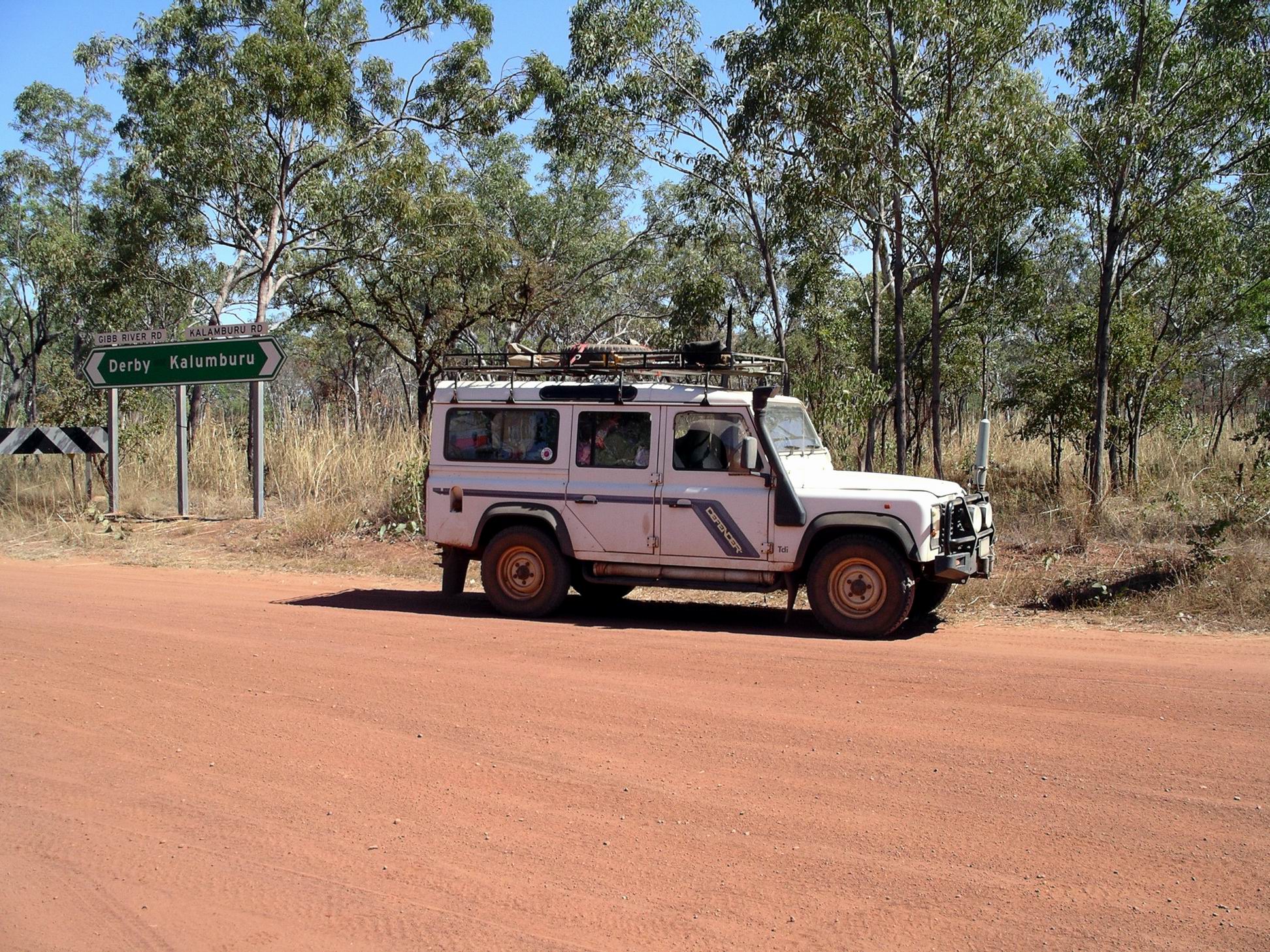
The Kalumburu Road junction was what passes for a major intersection on the Gibb. Since we had been here last, a rest area had been constructed – complete with advertising boards for attractions along the roads.
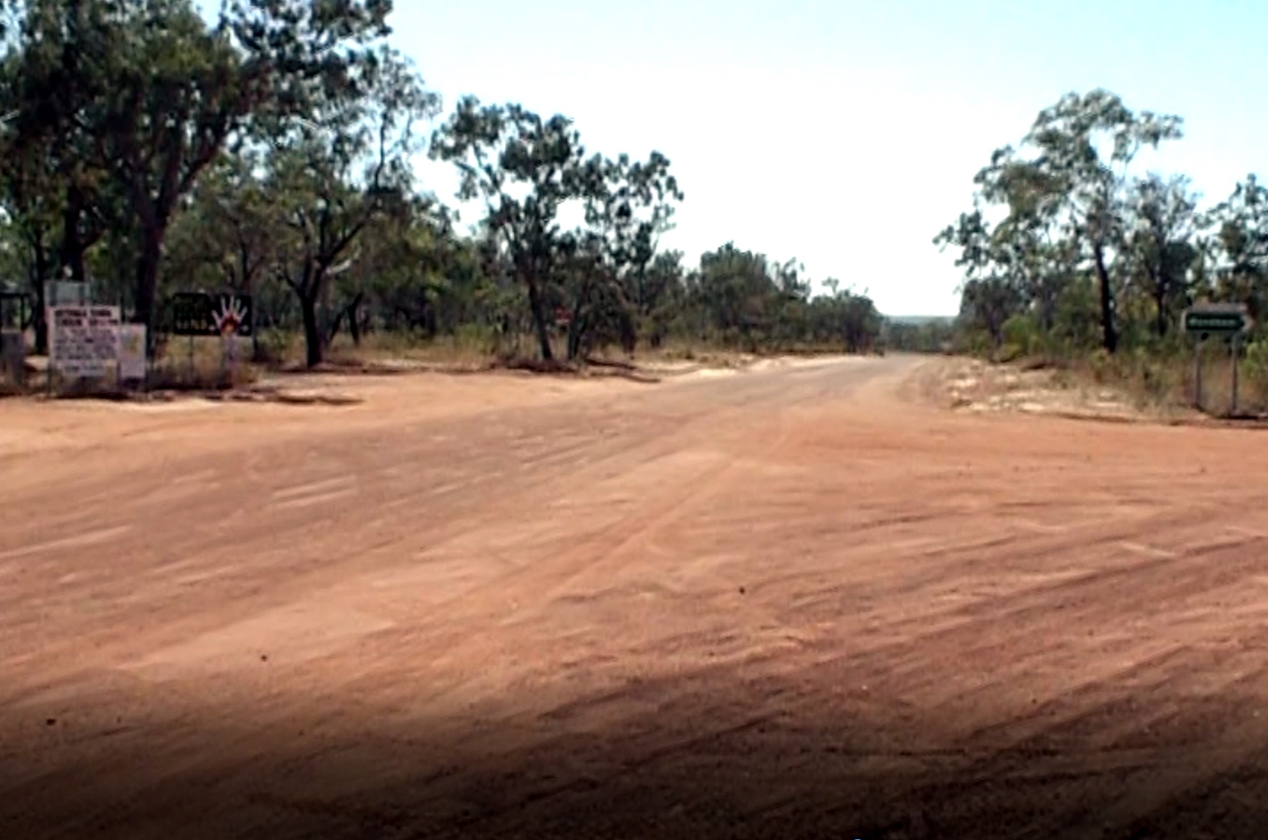
Took the Kalumburu Road north.
After only about 3kms, crossed the shallow ford of the Gibb River. As usual, there was water in the river. Just beyond the channel were piles of sand that had been cleared from the crossing after the Wet Season. Unfortunately, as usual, there were a couple of groups of people camped just downstream of the ford – despite clear No Camping signs.


It was the same story again, at the Plain Creek crossing – more illegal campers.
Once over the Gibb River ford, the road became more corrugated, to the point where I described it as really badly corrugated for a section of about 20kms, south of Drysdale River Station. A grader was working on it. This was not necessarily all good, because past experience had shown that graders could bring really sharp stones to the surface – bad for tyres.
Originally, we’d thought we might camp at Drysdale River Homestead, or at the King Edward River, for tonight. But because we’d done the 170kms to Drysdale River in good time, John decided we would try to make it to the Mitchell Plateau instead.
Refuelled at Drysdale River Homestead – $1.95cpl. Bought some cool drinks and icy poles.
The corrugations were even worse, north of Drysdale. This Kalumburu Road is not as intensively maintained as the Gibb, and seems to deteriorate more quickly after grading, too.
About 100lms north of Drysdale, turned onto the Port Warrender/Mitchell Plateau track. Shortly after the corner, came to the deceptively easy looking crossing of the King Edward River.
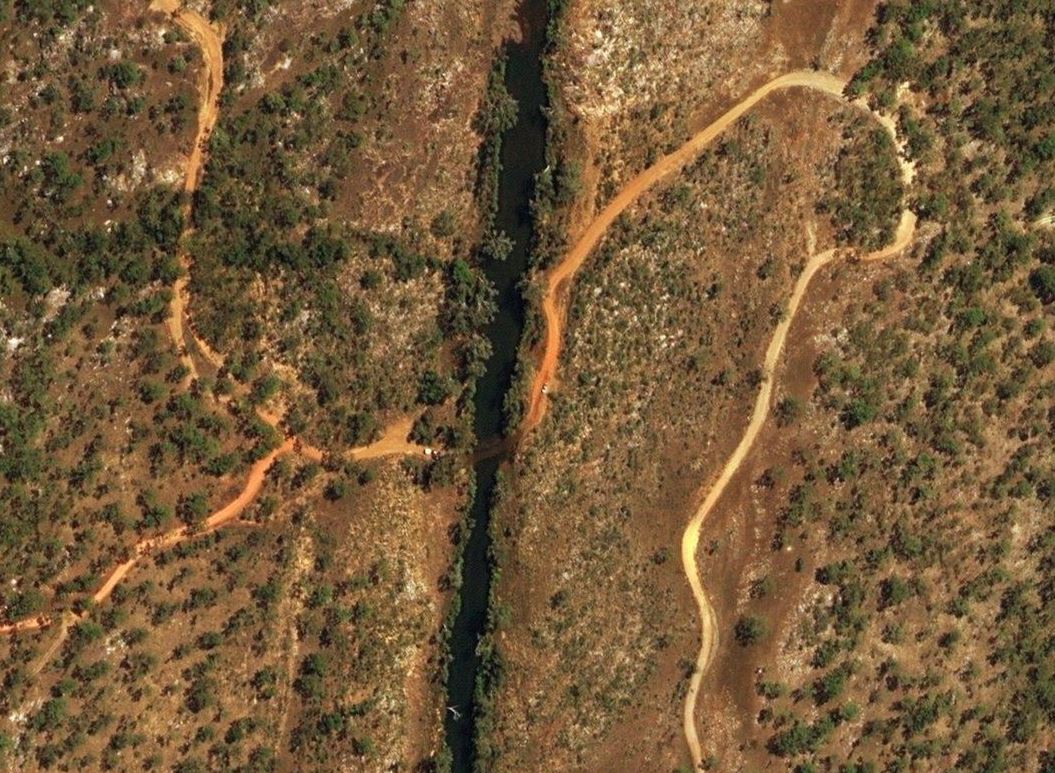
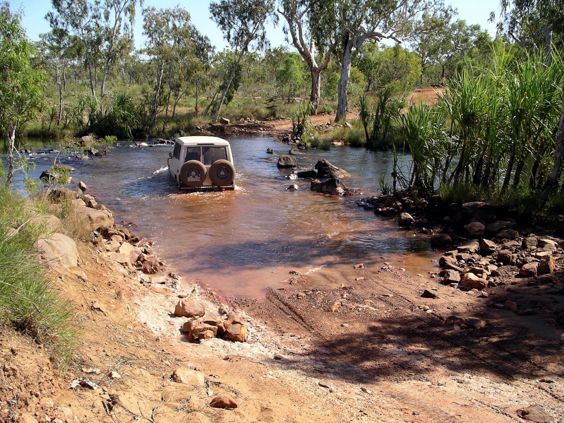
It is not very wide, here, but can be deep and rocky. It is actually this little-seeming crossing that usually determines whether the track to the Mitchell Plateau is opened. It is also in this area that there is very pleasant camping along the King Edward River.

M went first, for a change, because she wanted me to take photos of her driving through the crossing. She took a fairly straight line and really rocked about, once dipping her nose under the water. For us, the water in the crossing was up to the door sills, and it was a bit rocky. John took a curving line to the left, for no other reason than the crossing seemed to have been graded that way. It was not as bumpy or deep as the line M had taken.
We parked in shade near the campground here, to eat our packed lunches.
Further along the track – some 71kms – was another track junction. Straight ahead continued on to the turnoff to Surveyors Pool, and to Port Warrender. (The latter part of this track was often washed out and impassable). We turned left, just beyond the airstrip that services the local aboriginal community, and the camps of commercial operators, onto the final 14kms to the Mitchell Plateau campground.
The track from the King Edward River was actually better than we had expected. There were some rough, corrugated and rocky sections, and lots of badly cambered corners, but we had seen it worse. The track was narrow, but the scenery quite varied. At times, it runs along ridge tops, and there were distant views through the trees. There were sections of the Livistona Palm species that were special to this area. There were lots of eucalypts in blossom.
We stopped in an area along the track that was signed as a designated wood collection area, and gathered firewood, tossing it up onto our roof racks.
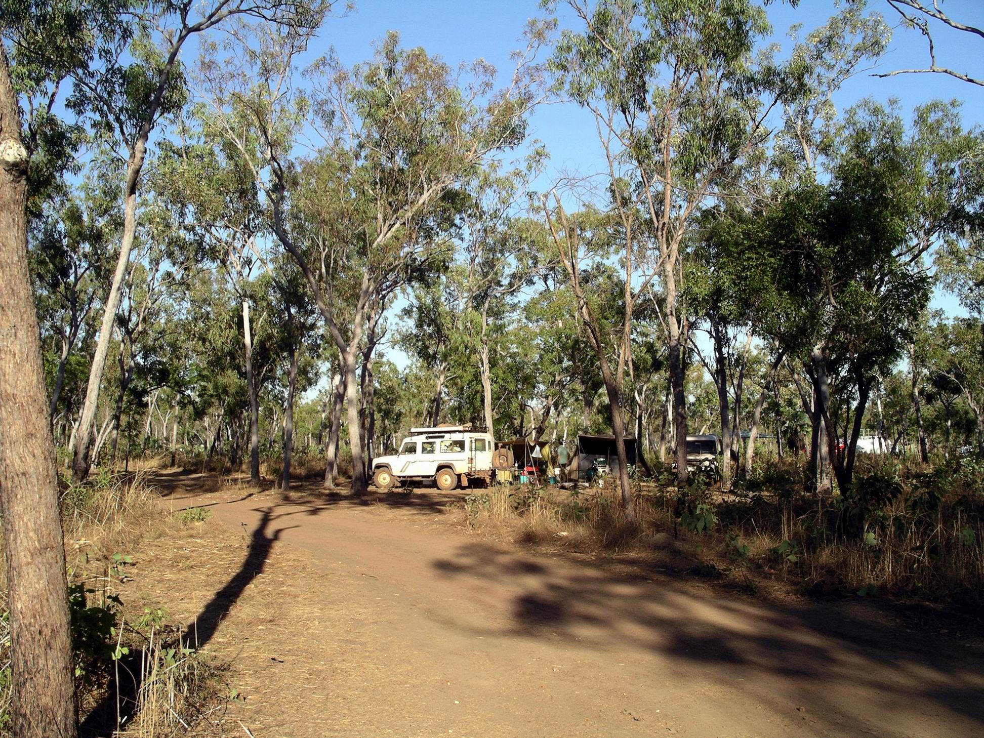
Reached the campground at 3.30pm. It has taken us nearly two hours to drive the section from King Edward River.

It was a (brief) financial relief to be back in a National Parks campground. With our Seniors Concession Cards, it cost us $4.50 per night, per person. We could have a campfire in the cement fire rings provided; fires were only allowed between 4pm and 8am, and had to be properly extinguished outside of those times. This was, in the Dry Season, a very fire-prone area, and a long way from any fire fighting assistance.
There were composting pit toilets, and a specified water collection point, in the creek near the campground. This point was fairly well upstream from the camping area. After we had set up camp, M and I walked across to check this out, and bring back a couple of containers of water to use for things like washing up.
I remembered from last time here, that the noise from the joy flight helicopters was very intrusive, but was pleased to find now that they seemed to be on some sort of curfew – no really early morning start ups.
We were all very weary after the long, rough trip in.
John was still fiddling with the kerosene lamp. He was now fairly sure he’d put something back, wrongly, last time he had it apart. In the messing about, he managed to drop it. The glass broke, and now there was definitely no functioning lamp!
Due to tiredness, and lack of light, we had a really early night.

