
SATURDAY 14 MAY PUNGALINA
It had been arranged that we would take the Troopy and follow O’s tracks, well to the north of the Calvert crossing, to where he hoped to be with the slashing today. We would collect him and return to the Calvert crossing, where we would all camp overnight. Tomorrow, he would finish slashing the track and, maybe, he and John would get in some fishing.
Across the river was actually the Seven Emu property, but O had an arrangement with the owner of that property, to be able to have the track to the lower river through his land.
We made reasonable time to the Calvert crossing because the track was slashed and as clear as it was going to get, and because I’d been over it in the Troopy a few times.
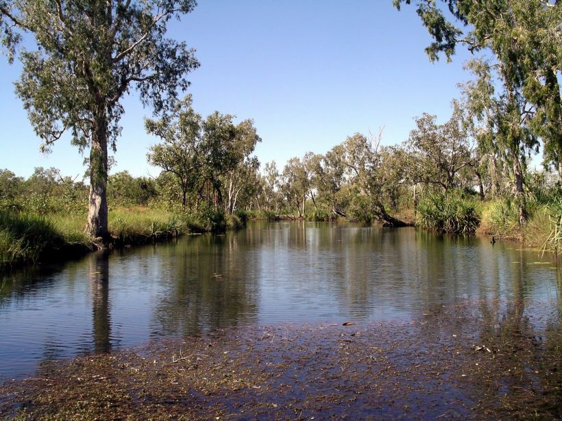
Mystery Shovel Water Hole
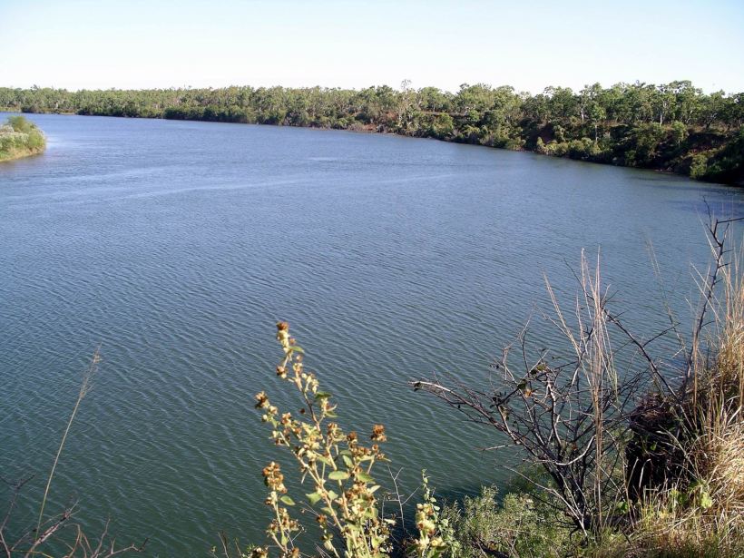
The Calvert River at the crossing point was in quite a wide and shallow valley. The track dropped down a slight incline, changing from the usual hard dirt, to river gravels. There was a swathe of saplings and weeds like Noogoora Burr – seeds deposited by the river and growing above the usual flood level. The crossing point was very shallow with a gravel and stone bed. One could understand why it might have seemed a logical point for Leichhardt to have crossed – had he not found somewhere a bit further north for this. I doubted, though, whether his place could have been as good as this one.
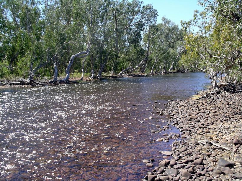
Calvert River ford
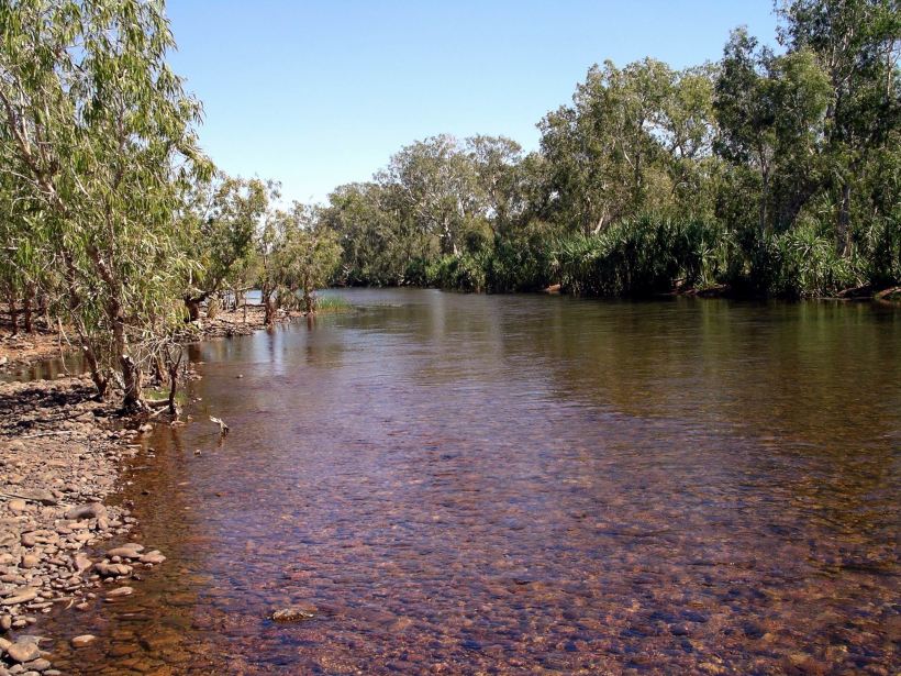
Upstream side of the Calvert crossing
The far bank was an area of gravels and dirt, with some trees and scrub growing. This was not all that wide, then there was a sharp climb up a ridge line, with a tributary creek to one side. This was crossed a bit further along, where it was dry.
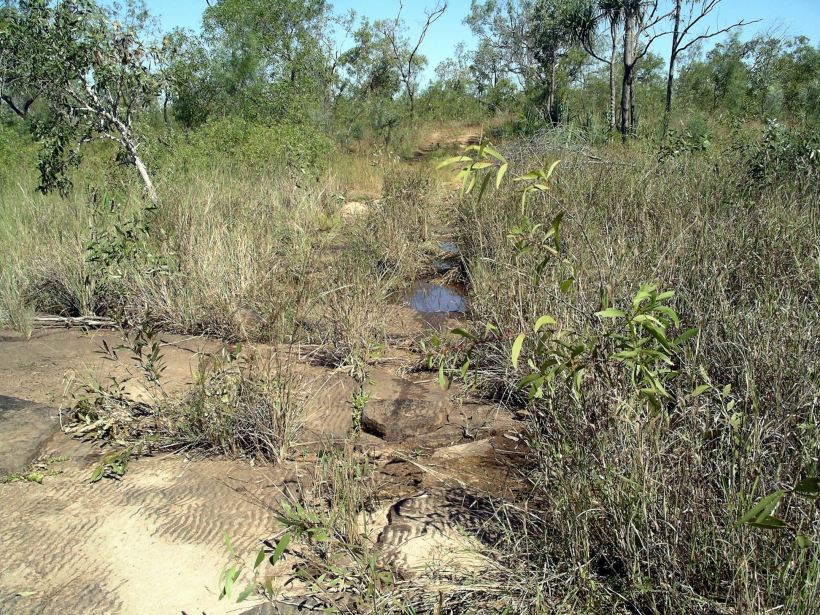
The track stayed away from the river for some kms, keeping to mostly solid, rocky ground. Various water courses were crossed, mostly dry. In one section, we climbed slowly up a series of low “steps” formed from ripple rock.

There was a pretty little creek and lagoon here – I called it Ripple Rock Creek. The track was still a little boggy just past there due to another tiny creek.

Ripple Rock Creek
We found O at 55kms from the house. He had done well and was pleased with himself. He was well into a section where the track had approached close to the Calvert again. John and I had a look at the river, whilst O finished up the bit he was doing.
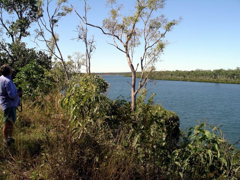
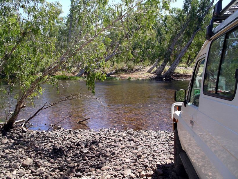
First stop at the lower Calvert River
The Calvert was an impressive body of water here. It was tide influenced here, and actually was for almost all the way back to the crossing point. Predominantly fresh water for some of that way, but with some rise and fall of level, and becoming more salty the closer to the mouth it reached.

There were small islands in the channel in this reach and some broad sand banks.

At one point, not far from where we met up with O, the track followed very close to the cliff that was the top of the river’s valley – a bit too close for my comfort. I hoped it had not been undermined during the wet season floods!

A bit close to the drop off edge!
Our way had come along the top of the high bank
It was late afternoon by the time the three of us got back to the Calvert crossing.
Calvert crossing – looking across to where we camped
Camp was to be on the narrow, fairly flat bank section, on the northern side. John and I set up the dome tent. O had a swag.
O put up the sign that John had made – nailed to a tree by the crossing.
Tea was steaks cooked on a grill over the open fire, with potatoes in foil done in the fire ashes at the side. We opened a can of fruit. Sat around the campfire, chatting, for a while, then turned in. We went to sleep to the sound of the river water running over the stones of the river bed at the crossing.
O told us that, when he was down here before Xmas, he saw a 4 metre saltie croc at this crossing – but he thought it was merely passing by on its way up or down stream! Certainly, the river seemed too shallow at this point to be a main home to one. But we would be very careful at the water’s edge!
