This Adventurous Age

Adventures travelling and working around Australia.


Leave a comment

2017 Travels May 12

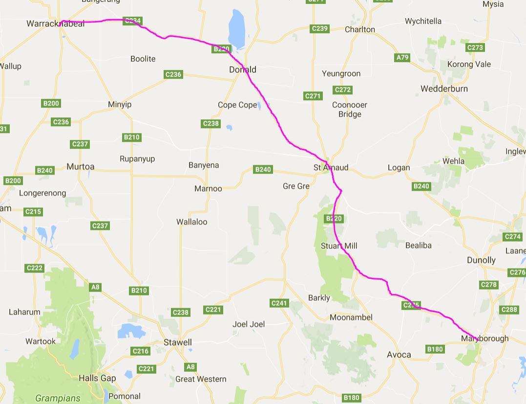
FRIDAY MAY 12    WARRACKNABEAL TO MARYBOROUGH   190kms

Another cold night, followed by a nice day. Pretty typical weather for this part of the State at this time of year.

We were away at 9.50am. While we had been packing up, the caretaker was working around the park, cleaning a couple of vacated en-suites. First time we had seen him doing this, although of course he could have been on previous days while we were out.

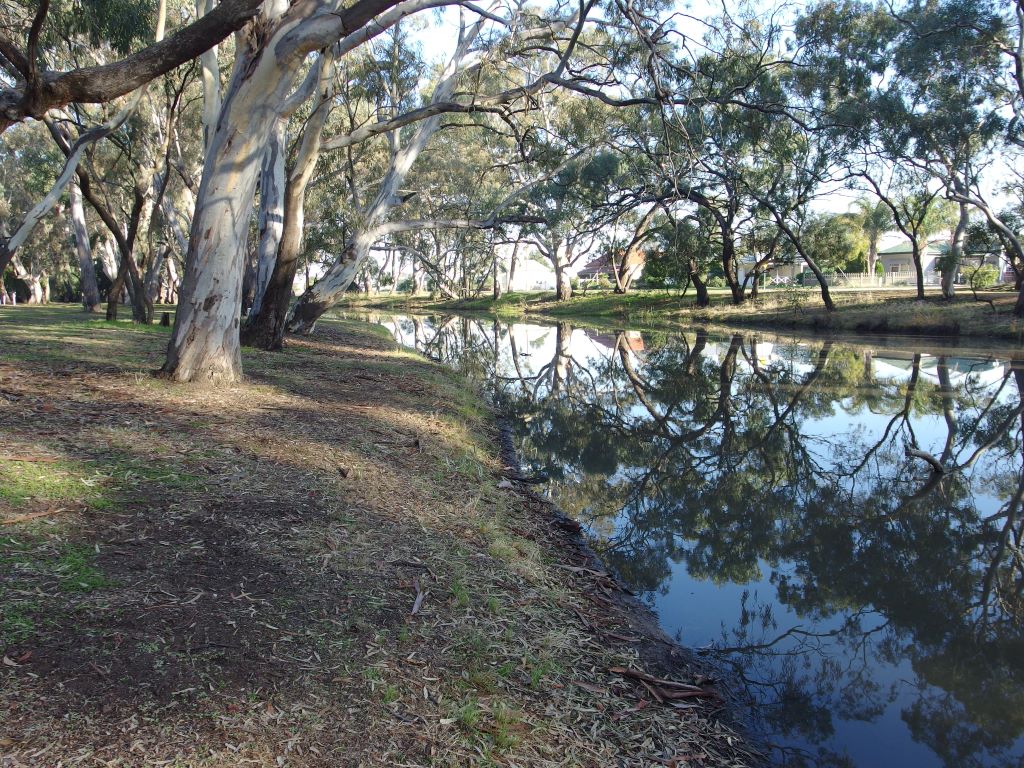
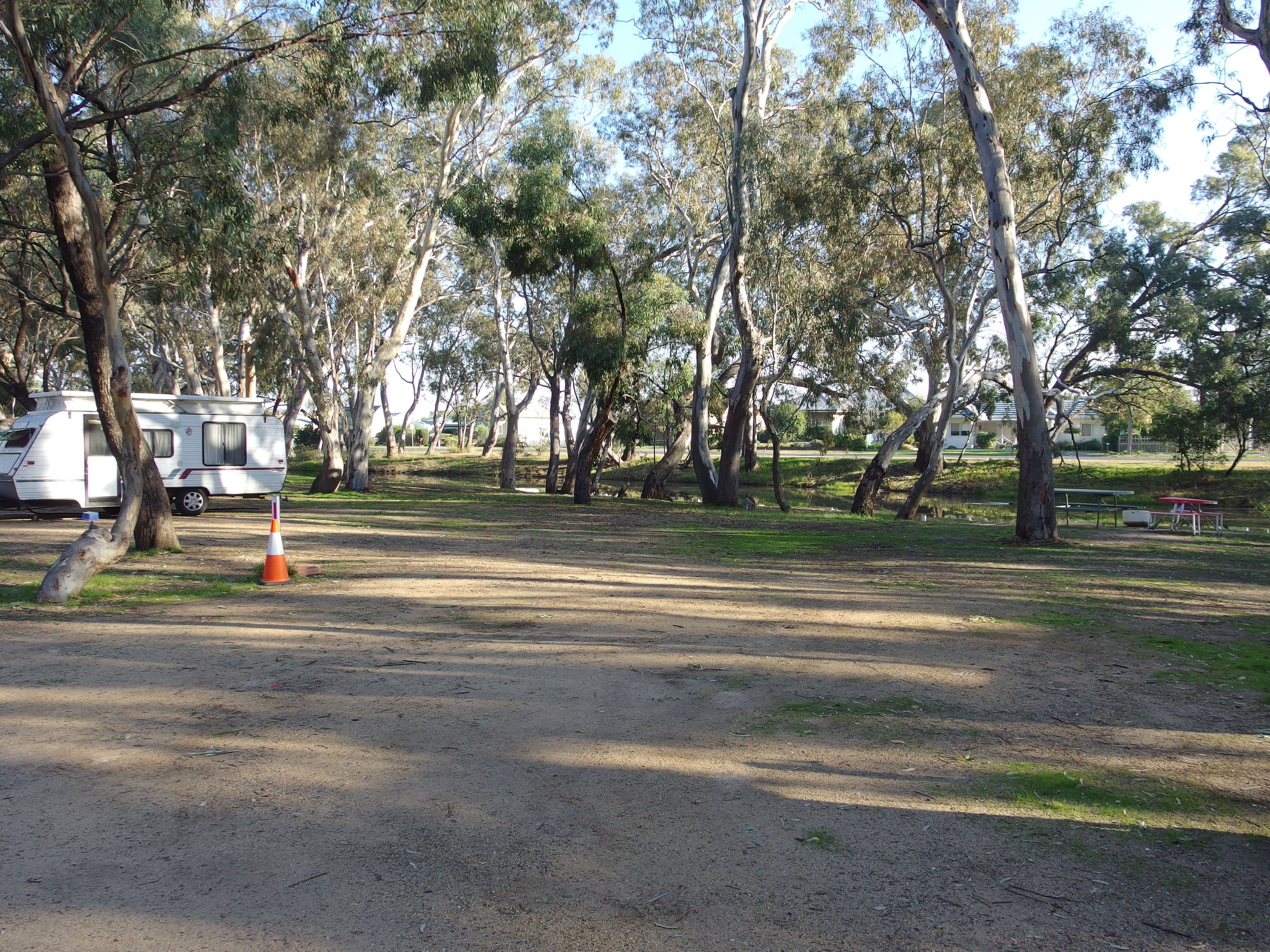
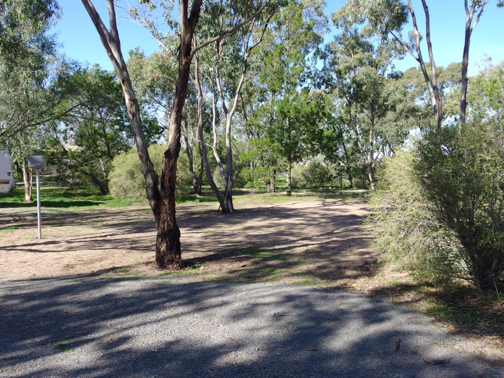
Morning reflections in Yarriambiallik Creek

Took the highway back towards Donald – same way we’d come the other day. Not far out of Warracknabeal, a car and caravan going the other way, trying to dodge a bumpy section,  got into the gravel at the road side and kicked up a spray of stones, much of which hit the windscreen on my side, and put a star shaped crack in it. Hope this can be repaired at home, without having to have the whole windscreen replaced – technically, it makes Bus unroadworthy!

After Donald, it was onto a new route, for us, to St Arnaud. We were still travelling through sheep and grain growing country. Could see a low range in the distance – maybe the Pyrenees?

The road was absolute rubbish. It was bad enough before Donald, but really dreadful after. There is so much truck traffic, carting grain and fertilizer. The surface was really bumpy and uneven, and there were sections where the road edges were crumbling  badly.

I found it really annoying that, for some of the way, we were travelling alongside a railway, yet there were all these trucks frequently passing us, and no trains. There should be some sort of government intervention forcing these things to be carried by rail and then only by truck for a very short distance from the nearest rail stop to or from the farm concerned.

Quite clearly, State and local governments cannot keep up with the scale and cost of the road repairs that are needed. The answer seems to be to put up “Rough Road” signs!

Out of St Arnaud, the trucks going both ways were bouncing around badly, too – just making matters worse.

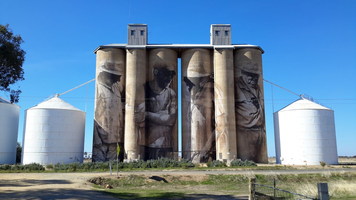
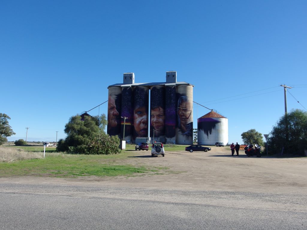
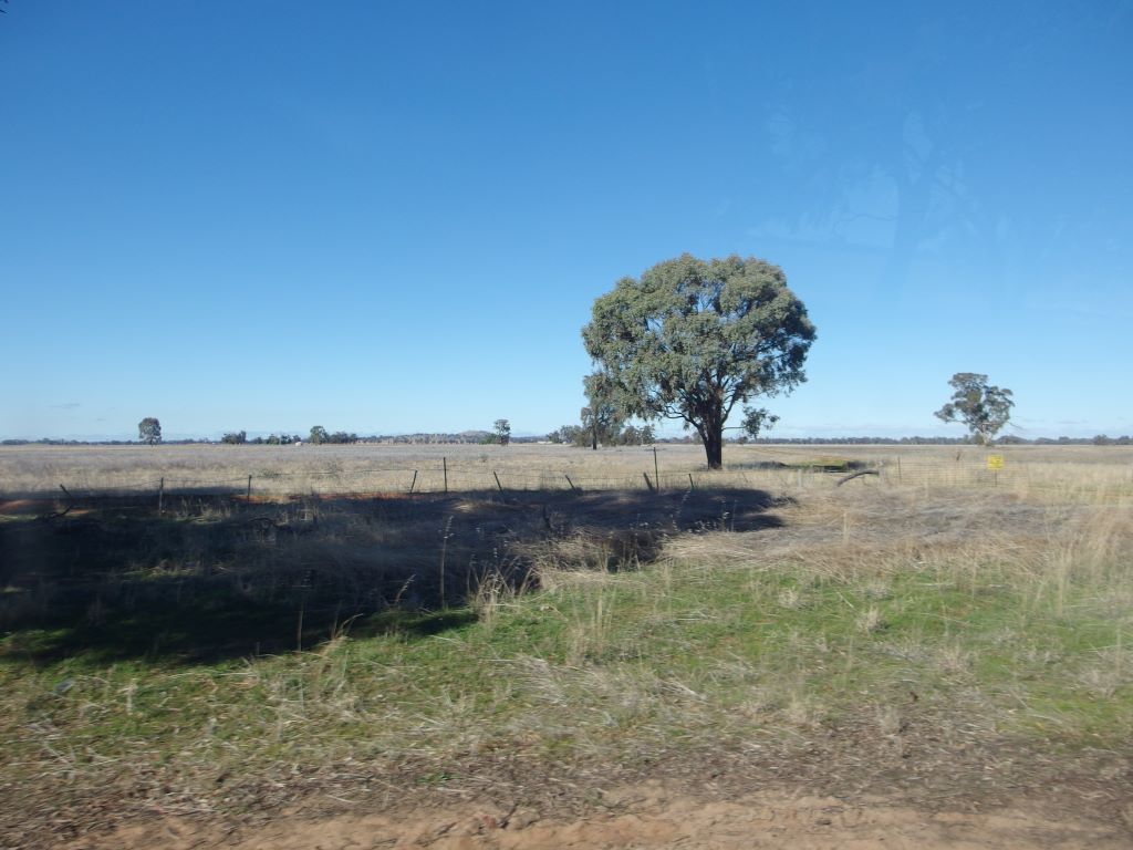
Typical Wimmera scene – long, straight road and silos of a small down in the distance

We stopped in St Arnaud for a coffee break. It appeared a pleasant, well-kept small town, somewhat marred by some rough looking, somewhat intimidating youths, hanging about in the gardens area by which we parked. Their presence made us decide not to go out of sight of Bus, but there was a small café nearby that sold me coffees and jam doughnuts.

We sat on a seat near Bus to have these. An older man walking by stopped to comment on the dog. Just another of the many people who comment on her lack of a tail and to whom we have to explain that she was born that way, and that a Stumpy Tail Cattle Dog is an actual distinct breed.

Stumpy Tail Cattle Dog – made this way!

The man was obviously in the mood for a chat and was very talkative about where he had lived and worked in Melbourne, including as it turned out, at Dunlop Rubber at the same time as my father had worked there, in the 1960’s. He certainly would not recognize that area, these days.

Managed to extricate ourselves from our new friend and continued on our way, towards Avoca, on the Sunraysia Highway, so called. John was relying on the GPS for directions, rather than this navigator, but for once machine and I agreed, and after a while we turned off, towards Natte Yallock.

Just after St Arnaud we had driven into an area of hilly scrubby forest, with an unusual speed sign: 70kmh during the dusk to dawn hours. Obviously this was for the protection of both wild life and drivers.

Then we segued back into farm land, but much more undulating country than before, and with a lot more trees.

Natte Yallock was a hamlet of a school, church and a few homes.

Ahead of us, it became very hazy – a combination of smoke, fog and cloud. We’d heard on the radio that Melbourne was subject to a poor air quality warning today, and this seemed to have spread north of the Divide for some way.

Maryborough is a larger town, of some 8000 people, with a layout that reflects its origins as a gold mining town. It proved easy, though, to find our way to the Maryborough Caravan Park, mostly on a road that skirted the edge of town. Reached there at 1pm.

We took a powered site and were charged $28 a night, after a $4 Seniors discount.

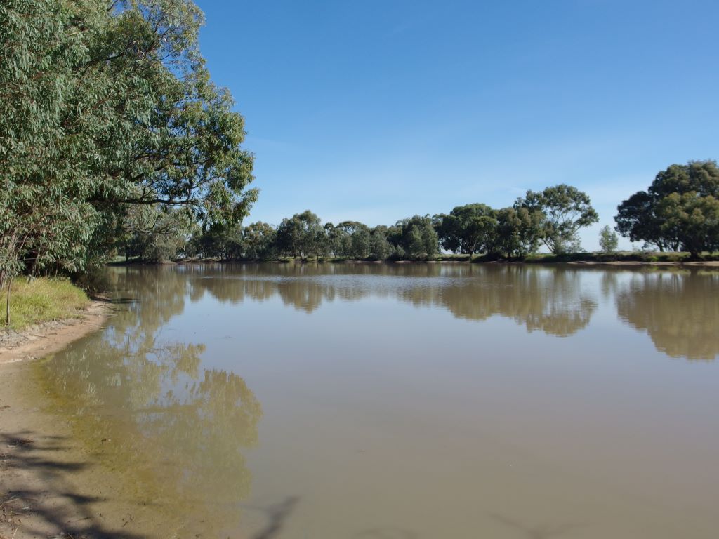
Our allocated site was a pleasant one, albeit rather well-used and bare, backing onto a bank, beyond which was Lake Victoria. Another body of water for the swamp dog! The site was slightly sloping, but parking nose in meant that, at night, our heads would be “uphill”, so we did not bother with the levellers.

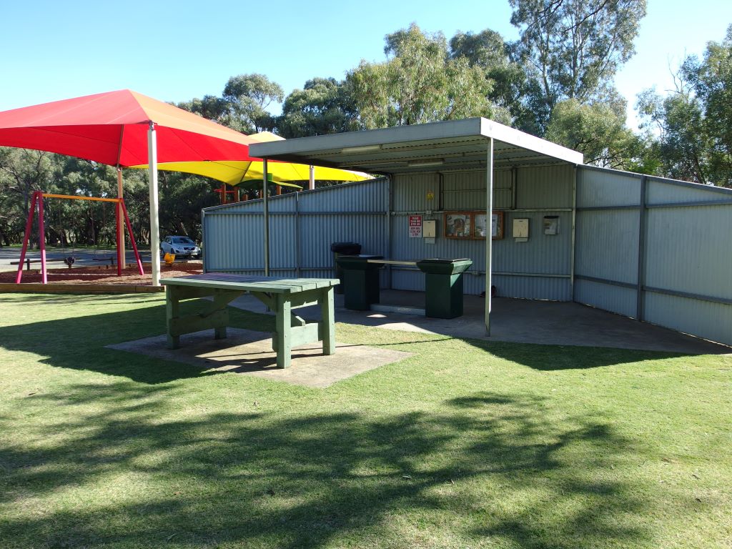
The park had a new amenity block in the individual bathroom style, but we were closest to the older, conventional block, so used that. It was well set up and clean. The park seemed fairly full. There were a lot of permanent residents, but a fair number of tourist sites also.

At Reception, we had seen a lot of displayed photos of gold nuggets that park patrons had metal detected in the region, so no prizes for guessing why some of the visitors were here.

There was no water tap to our site. John had to lay the hose across a neighbouring site to reach the tap that served our site. Not the best arrangement, as the occupants of the next site had no choice but to drive over our hose. There were no sullage points either, but a notice that Council rules forbade sullage hoses being run on to the ground, that buckets or containers had to be used and emptied into dump points. However, all the vans around us had their hoses emptying onto the ground at the back of their sites. There was a CMCA type dump point by the amenity block, but it had a sign that only toilet cassettes and similar were to be emptied into it. I never did find a place where sullage waste was to be dumped. We did as the neighbours were doing!

Maryborough site – and hose arrangement

As soon as we arrived on site, were investigated by some busy ducks, but they wisely gave the tethered dog a wide berth. She knows that “birdies” of all descriptions are supposed to be off limits, but was no doubt hoping, as she watched them closely, that one might be tempted to stray too close and she could have some fun.

After set up and lunch, drove to find a Woolworths, as I needed milk and some salad makings. Whilst there, John decided he wanted skinless franks and hash browns for tea, so I bought those too.

I had to visit a chemist to try to get some dressings for a sore that had developed on my leg. John and dog waited in the car, in a parking area behind the main street. By now, it was after school hours, and the town was quite busy. On my walk to and fro, saw some interesting shops, one with quilting materials and another selling knitting wool. This had a really eye-catching knitted jumper on display in the window. The Information Centre was nearby, too, but out of consideration for John waiting in the car, I was very strong and kept walking past all of these.

Back at Bus, John took Couey for a walk on the very attractive lake circuit path. Of course, as soon as he let her off the lead, she was straight into the lake! John thought it was funny, so he got handed the pile of old towels and left to do the drying session alone. That took ages because she has a really thick double coat.

John’s meal was enjoyable, if not healthy!  I had salad and tinned fish.

Football featured on the evening’s TV. John was quite happy with the picture quality here.

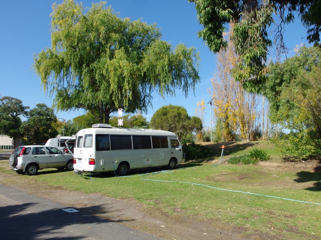
On a sort-of site, right next to the clothes lines of the amenity block, there was a really long bus type of motorhome parked – too big for the normal sites. It occurred to me that backing it in there must have been a challenging exercise.

We had not visited Maryborough before, so this short stay would give us a bit of an idea whether it would be worth coming back for a longer visit. The caravan park was one I’d certainly return to – provided we could get one of these “back” sites and not one of those against the road at the front – open, noisy.


Leave a comment

2017 Travels May 11

THURSDAY MAY 11     WARRACKNABEAL

Last night was another cold one, but it became a nice day.

John slept in again.

Have to say that I didn’t like these mornings where it was so cold that I couldn’t sit outside to have my breakfast while listening to morning ABC radio, but must lurk inside for the sake of warmth, tippytoeing about and being silent.

John eventually got going and took himself off to the agricultural machinery museum. He was gone for a couple of hours.

I had lunch alone, outside, and enjoyed sitting in the sunshine. Read for a while, then took Couey walking.

Yarriambiallik Creek at Warracknabeal Caravan Park

According to John, the machinery museum display was well worth seeing – if one is interested in that sort of thing!

The caravan park really filled up this afternoon, relatively speaking, with about eight tourist rigs in.

Unpowered sites backing onto the creek

Tea was ham steaks, fries and eggs. I don’t like the commercial, manufactured ham steaks, and make my own by buying a piece of hickory smoked boneless ham and cutting slabs from it to cook.

Watched some TV, but, as usual, I got sleepy early and went to bed.

Our travels around Warracknabeal


Leave a comment

2017 Travels May 10

WEDNESDAY MAY 10     WARRACKNABEAL

John slept in until about 11am. I couldn’t really blame him as it had been a really cold night and the morning was initially so sold. If it hadn’t been for the needs of the dog, I would have stayed much longer under my warm doona too.

After we eventually got going, drove north on the Henty Highway for about 20kms, to Brim.

The painted silos installation here, completed in December 2015, was the first to be done in Victoria, but not in Australia, because some had been completed a few months earlier in WA.

The artist here was Guido Van Helten. The theme was a tribute to farmers.

Brim Painted Silos

A theme seemed to be emerging of these silo works paying homage to some aspect of their community, be it original people, pioneering farmers, district youth. I would be interested to see what subject matter would emerge for the planned new silo art works at Lascelles and Rosebery.

The Silos being painted

I liked this Brim work, just as I had that at Sheep Hills.

There were information boards placed in the parking area across the road from the silos.

Information board at silos

We were not alone, with several other people there viewing the work, too. The silos were certainly bringing visitors to the region, or keeping them here longer.

We then drove around through the little hamlet of Brim, which still had some operating businesses.

I wanted to look at the Redda Park camping ground here, that has been refurbished and kept cheap enough to attract travellers.

Bush camping area at Redda Park Brim

We found a very pleasant area. Parking bays carved from the bush, beside a lake formed in the creek. There were plenty of low mallee trees about. Some of the bays had power poles, but it seemed to me that one might need to get here early in the day to snaffle one of those.

One of the powered camping bays

There were basic amenities in a steel building, plus a BBQ and play area. All very well done. It seemed the charge was $10 a night.

BBQ and play area at Redda Park camp

We were very impressed and thought in many ways it was nicer than where we were at Warracknabeal, though John really does prefer to have an en-suite site when he can, these days.

A weir across the Yarriambiallik Creek has formed a lake. We walked through the campground and along the lake for a short way. Dog was kept very firmly on her lead, much to her disgust.

Yarriambialik Creek by Redda Park campground

A set of display boards gave information about the 2011 floods of the area, the largest ever at Brim. Last year’s flood event was much lower.

Information board about 2011 floods at Brim

Photo displayed on the Information board, showing floods

We drove back to Warracknabeal. I needed to get milks at the IGA and while I was doing that, John snuck off and bought himself a pie at the bakery.

By the time we got back to Bus, and I could get myself some lunch, it was 3.30pm. That was far too late for a midday meal. We really needed to do things differently – like get up earlier? Take a packed lunch even on short trips?

Relaxed for the remainder of the afternoon. John played WOW on his laptop. I took Couey for a long walk along the creek path – on the lead! She had seemed to have an upset stomach this morning. I blamed the creek water ingested on yesterday’s frolic. So She is not going back in there.

An unusual rig came into the park today. Perhaps a bit of a battler? He had an old station wagon, towing some sort of small commercial van that had been made into a camper. I wondered how legal it was?

Tea was steak, mushrooms, fries.

Watched more Masterchef on TV. Quite a juxtaposition – sitting in my very basic Bus kitchen seeing the contestants in their kitchen equipped with every cooking gadget one could think of, and many I’d never encountered in real life!


Leave a comment

2017 Travels May 9 (2)

TUESDAY MAY 9 (2)     SOME PAINTED SILOS

After we had set up and had a quick lunch it was time to go driving again.

But first to the local IGA supermarket, because John had decided he wanted hamburgers for tea. Whilst “up the street” I picked up a couple of tourist leaflets from outside the closed Information Centre.

Nearby Sheep Hills, a few kms south of town, was our first destination, to view the silo art.

What was now known as the Silo Art Trail had developed over the previous couple of years. Basically, there was a movement to get well-known and talented street artists to paint murals on disused grain silos, depicting something that relates to the local community or area. So there was at this time a sort of outdoor art gallery, in four towns, spread over some 200kms. Two more were planned for later this year. The concept seemed to have caught the imaginations of the travelling public, who were driving in significant numbers to see the silos. A similar thing was happening in SA.

John had wanted for a while to go back and visit the site of the second of the one-teacher schools he taught at in his early career. This was at Boolite, just down the road from Sheep Hills. Being in this area would give us a chance to do that and see two or three of the painted silos too.

The Sheep Hills silos were visible from some distance away, on the flat country. When we arrived there, found there were a couple of Council workers, in orange shirts, mowing and weeding around the silos, so any photos were likely going to include them!

Sheep Hills Painted Silos

Sheep Hills is rather in the middle of nowhere, so we were quite surprised that there were several other sets of visitors there, and more arrived whilst we were there. This was our first indication of how quickly the Silo Art Trail had gained a following.

Sheep Hills was the third silo installation to be painted, in December last year, by Adnate.

It features an aboriginal lady and man, and children, against a starry sky that is of significance to the local aboriginal peoples.

John shows the scale of this installation

It was really impressive. The scale alone was amazing, and the fact that an artist working close up could maintain the right lines and images on such a tall and curved structure. Brilliant.

There is no township at Sheep Hills. The now defunct Minyip to Warracknabeal railway came through here, hence the grain silos, now isolated. The railway station has disappeared. There is just a house near the silos, and at the nearby crossroads, what may have once been an inn or a hotel, with a house attached to that. It occurred to us that, with visitor numbers growing, the old inn might be a great venue for a café. It was rather a lovely old building and it was a shame to see it closed up and neglected.

This hotel would have served the surrounding community, back when the district operated at a different scale. The farms would have been smaller, without the huge and efficient machinery of today. Hence, there would have been more people. Foot, or horse transport meant that Minyip or Warracknabeal too far away for regularly required services like a school or a beer after work. There once would have been at least one general store as well.

Former hotel at Sheep Hills

We continued on down the little local road, to Boolite, another place where there is now nothing but paddocks. Even back in the 60’s, John had only nine students at the school.

We found the school site, marked by a sign, as are many of these former small school sites in the State.

School site Boolite

There was also a plaque commemorating the school’s one hundred years of operation, in 1979. A few months later, it was closed!

Centenary of Boolite School

John wandered about, looking, remembering, and taking photos. He had boarded for some months with a family at a house on the corner of a nearby road. There was no trace of this now.

The life of a young man in such a one-person school, in areas like this, had often been a rather difficult and lonely one, but it was seen as a necessary starting-out experience. Residences were not provided, with the Education Department relying on local families to board the teacher, in some fashion, often below what we would find acceptable these days.

John then decided he wanted to drive the back roads he used to take to go to Minyip, where he had boarded for a few months back then. We set off down a dirt track, but this soon led to a decent sealed road, which wasn’t there in his time, apparently. It made things easier now, from my viewpoint, as I was driving so he could look around.

Since we were at Minyip, decided we might as well continue on to Rupanyup and another silo art set. It was not far. However we did have some trouble locating the painted silo there. We were looking for a similar structure to that at Sheep Hills, like most silos one sees in the country towns in these parts. However, it turned out to be a lower metal structure and it took me a couple of passes up and down the main street to work out where to go. As the railway no longer exists, there was no guide from that.

This silo was painted in the first part of last year by a Russian street artist Julia Volchkova. It was monotone, compared to the bright colours of Sheep Hills, and I did not like it nearly as much. It seemed rather boring by comparison.

Rupanyup Painted Silos

The two figures on it represented a local netballer and footballer – the two staple club sports of country towns.

I was much more interested in the old railway station, nearby. It would once have been a substantial station building, but was now almost derelict.

Once was Rupanyup Railway Station

There was no railway now, of course. What a pity that some fitting use could not have been found for the structure.

Once was a railway line

John took over the driving again, and we made our way back to Minyip and then Warracknabeal.

Another “artistic” trend in these parts seemed to be to build representative installations on roundabouts. We had seen some in Warracknabeal that honoured working dogs and dingoes. In Minyip there was an installation meant to highlight the role of wheat in the district – a farmer kneeling down, and sprouting wheat grains. Unfortunately, the pale green “sprouts” made me laugh – they were very suggestive! I had to get a photo of that, and John drove a couple of times around the roundabout for me – somewhat to the mystification of a couple of locals.

It was almost 5pm by the time we got back to camp.

Roundabout at Minyip

John decided we should stay three nights here. He wanted to go look at the big farm machinery museum we saw on the edge of town, and there was still Brim to visit.

Whilst I was cooking the hamburgers, outside, in the electric frypan, a man came by to collect our camp fees.

After tea we watched Masterchef. The TV signal was regularly interrupted, whenever trucks went by on the nearby road!

It was another really cold night.

John took Couey out, on the lead, as usual before bed. There must have been a possum down out of the trees, because she just about pulled him over trying to run after whatever it was. Now we know to be careful and hang on tight both to dog and the handrail by the step down from Bus!


3 Comments

2017 Travels May 9 (1)

TUESDAY MAY 9 (1)    BOORT TO WARRACKNABEAL     170kms.

We managed to get up at 8.15 on this very cold morning.

Left the park just before 10am, without rushing the pack up unduly. The stay here in Boort had been enjoyable. It was a place we might return to, another time, just to relax by the lake.

It had turned into a lovely day for driving: sunny, but not too hot.

Refuelled in Boort, to be on the safe side. $1.274cpl.

I had planned to take us via Wycheproof and maybe stop at that lovely bakery café there, for an early lunch. Then, we would be able to stop at the painted silo at Brim, and look at that, on our way to tonight’s destination.

However, John decided to follow the GPS directions, rather than mine, after entering Warracknabeal as the destination. Predictably, it directed us via Charlton and Donald. I had not wanted to go that way, thinking we would probably be doing the Warracknabeal to Donald leg in a few days’ time. Oh, well, it might look a bit different, going the other way.

My secret consolation for being ignored was that John missed out on an indulgent lunch!

The road between Boort and Charlton was much more interesting than the way I’d wanted to go. There were huge olive plantations, starting not far out of Boort. The land looked to have quite a good red soil. There were some irrigation channels. I saw one sign at an olive acreage, reading Boundary Bend Olive Company. Later, I checked this out. Their web site claimed their Boort operation is one of the largest olive plantations in the world, with nearly a million trees planted.

Until then, I had not realized that Boort had become so significant in the Australian olive production scene.

Further on, there were vineyards too: Lake Marmal vineyards. I had never come across wines of this brand, so maybe they grow grapes for other winemakers.

There were eucalypts growing along the road side. Occasionally, there would be one with a really bright, smooth, orange trunk and branches. These appeared to be a mallee type, often with more than one trunk, and it looked like the orange colour appeared after older bark peeled off. Most attractive looking.

Unusual orange-trunked mallee eucalypt trees

Clearly, this part of Victoria has a Mediterranean type of climate.

We had, of course, been to Charlton before and stayed a night here on a previous trip. There were the ubiquitous blue plastic covered heaps of grain here too, but these were different – they had bird netting over them. Charlton has a really big silo complex, too.

Last time here, we’d been impressed with the efforts this little town was making, to revitalize itself. This time, it seemed even more go-ahead and vibrant. We saw no evidence of the floods that had affected the area last year.

Took the Borung Highway, towards Donald. Although, “highway” was misleading, given its condition. About 14kms from Charlton, passed the Wooroonook Lakes rest and camping area – another place I’d never heard of. From what we could see of the lake, it looked smaller than the Boort one we’d been camped by, but pleasant enough. There were some camping rigs set up there, and some camp power poles, so there were obviously some powered sites.

There are so many lakes scattered through the Wimmera region – something else I hadn’t known.

Some of the land down this way looked to be affected by the dryland salting that has become a significant problem in some agricultural areas. There was a saltbush plantation in one area. It is still very much sheep and wheat country.

Wimmera country

Road signs warned “Caution – slow moving farm machinery use this highway”.

We did not stop in Donald. From passing through, it looked to be just a standard little country town. There was a caravan park that looked pleasant enough, beside a little lake.

Stayed on the Borung/Sunraysia Highway, which skirted south of the Buloke Lakes. At Litchfield, turned left. There had been a railway beside the road for some of the way, with warning bells and flashing lights, not just the uncontrolled crossings one often gets in the country. But where we crossed it at Litchfield there were boom gates too. From that, we concluded there must have been some serious train Vs vehicle encounters here in the past.

The roads we travelled today were really bad in some sections – bouncy and uneven. This was the result of frequent large trucks using roads not originally built to take their weight and number of wheels. It made for uncomfortable travel, especially in a vehicle like ours. It makes me so cross that, in an area that obviously has a network of rail lines, there is this almost total reliance on trucks. I do wish our State government would be more pro-active in encouraging/forcing more usage of railways for freight movement. There are just too many trucks on our roads.

Arrived at Warracknabeal around noon. A sign at the entrance to town informed us that it is the birthplace of Nick Cave – who knew? Or, in our case, cared?

Went straight to the caravan park. I had phoned the given number this morning, before leaving Boort, and been told there were en-suite sites available and just to pick one that was unoccupied and had the key in the door!

We found that there were twelve en-suite sites, in a double row in the centre of the park. About half of them were occupied by clearly longer term stayers. The available sites were scattered in amongst the long-term occupied.

We found a site where, from our outside sitting area, we could look across to the large creek that bordered the park. Yarriambiallik Creek. Try saying that one in a hurry! The en-suite was adequate – clean enough, though looking rather aged. The site was gravelled.

Warracknabeal site

A few sites up from us, the resident had a couple of very yappy, aggro little dogs, that carried on furiously whenever anyone moved into their line of sight. A wire mesh fence had been put up around the site, so the horrible things had a “yard” to run in.

This was a Council park. The lady on the next site told us that she had been here since last September, and that her husband had died two weeks ago. She said the Council wanted to refurbish the en-suite sites and were thus trying to get the long-termers to move out. It si not look like the Council was having much luck with that.

The en-suite site cost us $25 a night. Ordinary powered sites were $20. The long-termers paid a weekly rate of $125 or $100. I could see why the place was attractive to them.

It was actually a really attractive setting. There were plenty of trees, but not over our sites, so no worry about branch drop. It had rather a “bush” feel about it. Plenty of birds about. Campers on the ordinary sites that fronted onto the creek had clearly had campfires there.

Creek side section of park

A walking track along the creek extended both ways from the park, so it was a good place to take dog for her exercise walks. After we were set up, John took Couey a little way along the creek bank walk, to let her off the lead and throw the ball for her. Of course, after a couple of retrievals, she ignored him and shot off into the creek for a swim. As if it wasn’t obvious that this would happen! I tossed him a couple of towels and left him to do the drying.