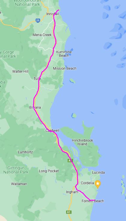
FRIDAY AUGUST 23 FORREST BEACH TO FLYING FISH POINT 187kms
Considering we hadn’t done a pack up for a month, we were pretty good at it, and departed at 9.15. Dog let us know she wasn’t happy that the kennel was mobile again.
Overall, the drive north was enjoyable. Certainly, the weather was varied. Blue sky, with some white fluffy clouds when we left….not to last.
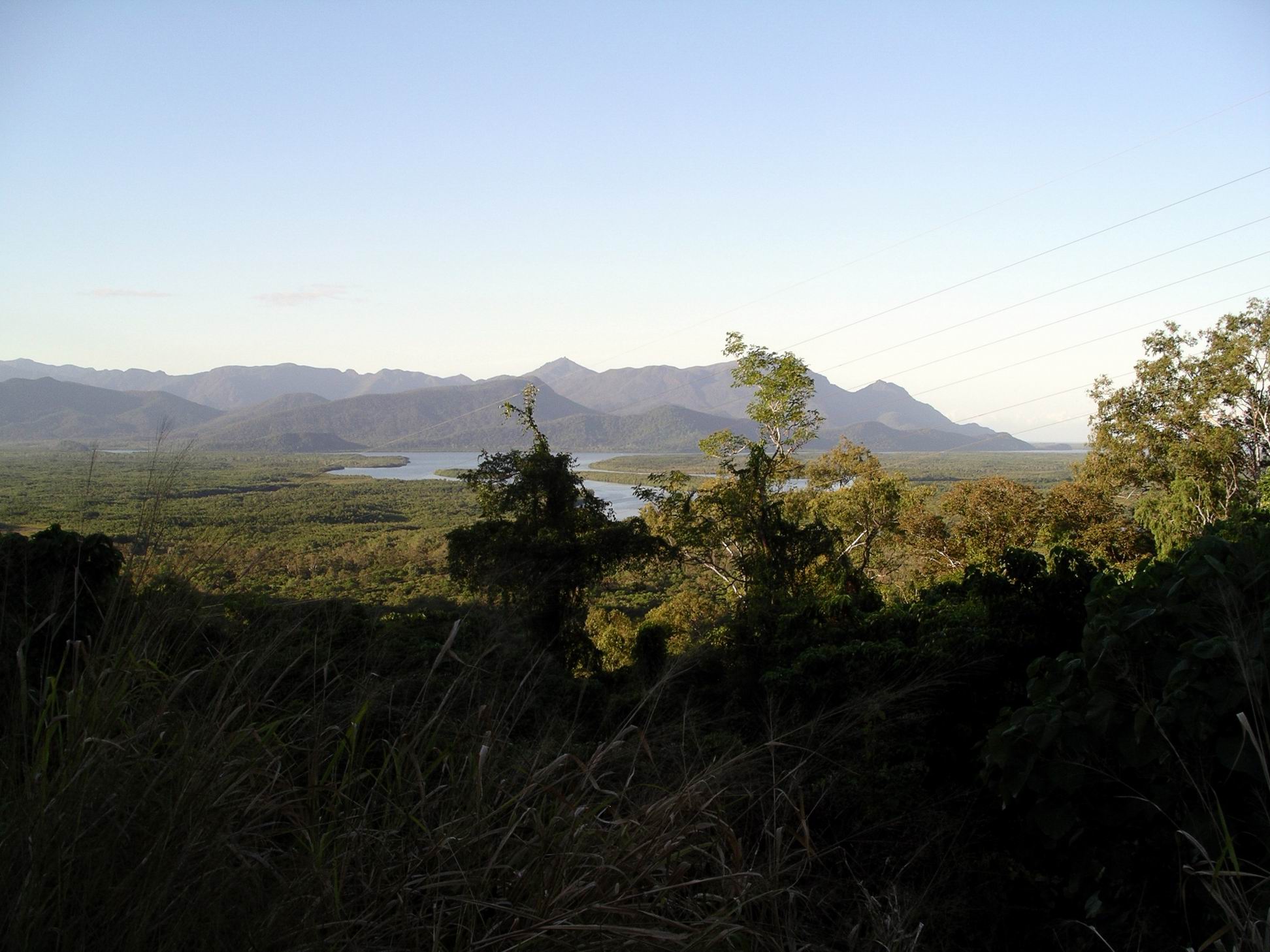
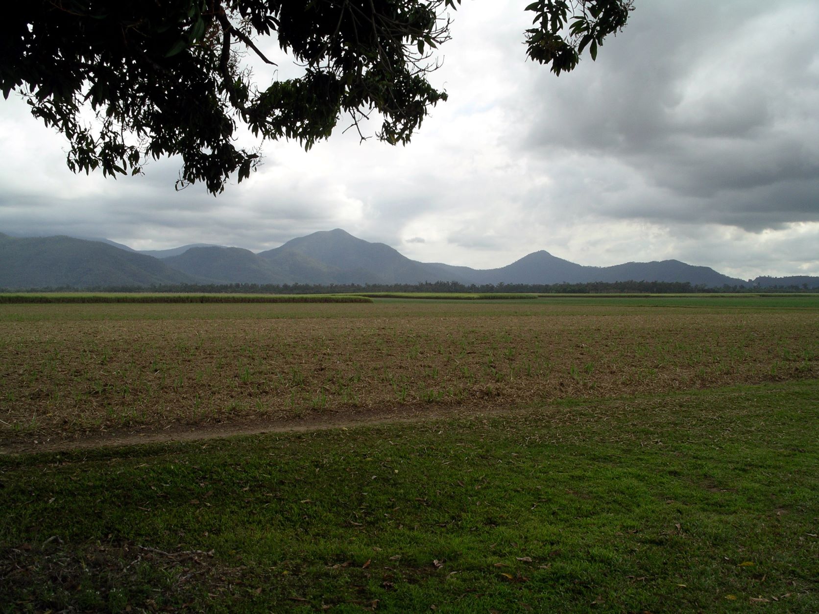
The scenery was likewise varied, at times quite dramatic, with mountains often quite close to the highway.
We trundled past our old friend, the Victoria Mill, for the last time on this trip. Stopped at the fruit stall on the northern outskirts of Ingham, to buy a couple of pineapples.

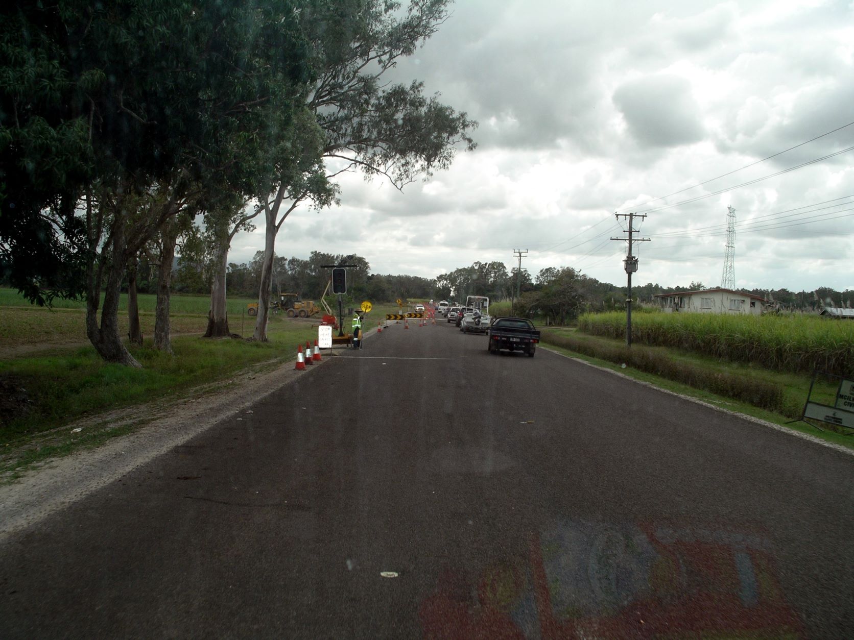
There were several stops for roadworks, between Ingham and Cardwell, but none was for too long. There were major roadworks happening on the Cardwell Range, where there was also a noticeable smell of hot brakes – not ours!
The impacts of cyclones on Cardwell, since last we were here, were huge. We stayed here in 2009, but the town was hardly recognizable as the same place. The rainforest vegetation that existed, between the road and the beach, had gone, and the view out to sea was open in a way that it wasn’t before. Actually, it looked like most of the beach had gone too. The centre of the township looked very bare.

Around Tully, we ran into heavy rain, and the skies remained grey and looming. As Tully is reputedly the wettest town in Australia, this should not have been surprising. Average annual rainfall here exceeds 4 metres, with its rainfall record being nearly 8 metres. That’s a lot of rain in a year. Something like twelve times as wet as Melbourne.

Refuelled Bus at a BP servo just south of Innisfail. $1.599cpl. Cost us $86.65. Around the 6kms to a litre of fuel seemed to be a fairly consistent performance, now we were towing the car. Slightly more or less, depending on terrain and general driving conditions.
We had no problems navigating through Innisfail and out to Flying Fish Point. The GPS and I agreed to leave the Bruce Highway south of town and take the Mourilyan road. This was a tad hilly, but avoided the centre of town and took us across the South Johnstone River, straight onto the Esplanade and along to the bridge over the North Johnstone River and the road we wanted. Nice and easy.
Back in cassowary country – roadside signs warned about taking care and watching for wandering birds on the roads.
Flying Fish Point beside the Coral Sea, is a little enclave of houses by the wide inlet that is the mouth of the Johnstone River, a few kms from Innisfail. This far north, the Dividing Range never seems far from the coast, and this little township is on a narrow coastal strip, with forested hills rising behind it. Really very scenic.
At the Flying Fish Point Tourist Park, we were given a site with a slab. It was parallel to the central roadway through the park, though, and close to it. So we heard all the passing traffic. Found that there was also regular passing foot traffic, too, that cut around the back of us to go to the shop/office, and the park’s general gathering area.
There was a place to park the car, and an area in front of Bus where Couey could be safely tethered.

We paid $198 for our booked week – $33 a day with one day free. This seemed very reasonable, considering the quality of the park, with its formal gardens and sites. It was sooo good to have modern, spacious and clean amenities again! The pool looked inviting too, but somehow, I didn’t get around to sampling it in the time we were here.
Most of the sites were amongst tropical gardens and trees, but maybe seemed a bit on the narrow side. Ours seemed like an afterthought, tucked in where it would fit. But we were fortunate to get in at all, so there was nothing to be gained by being envious of others.
Found out that it had rained quite heavily here, last night, but there was no sign of it by the time we arrived – great drainage. It was quite hot and rather humid.
After setting up, we had to drive back into Innisfail, so John could check out the local bowls scene. My trade-off was a visit to the Information Centre, to collect material about the area. We had never before stayed anywhere on the coast between Mission Beach and Cairns, so it was new to us.
We stopped by a farm stall on the Esplanade and bought some bananas. Had seen a number of banana farms by the highway, as we travelled today.
Innisfail looked to be an interesting town, but we were there at school get-out time, so it was a bit too busy to be tootling around unfamiliar streets, trying to look around.
Did see, though that the Johnstone River, formed by the junction here in town, of the North and South branches, was huge. It drains from the high ranges of these parts, and, of course, the annual rainfall is high.
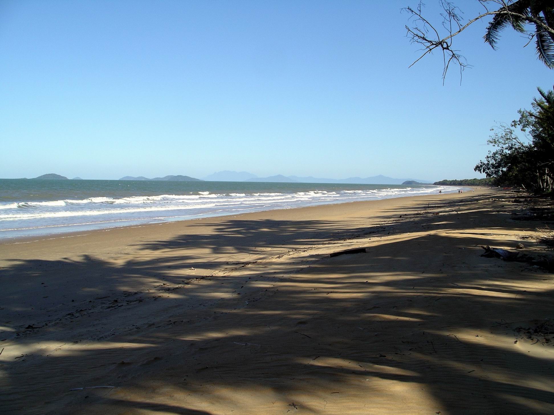
Back at Flying Fish Point, John decided to follow the road past the park, along the coastal strip, and see where it ended up. It became a narrow, winding, gravel road that followed the contours of the coast and hills for a way, through rainforest. Then we were stopped by a gate at a small turn around area. Just back from that was a small parking area, so we pulled in there and walked down a short track through the coastal forest, to a very pretty beach – Ella Bay.

Because I thought we were in National Park, we didn’t linger here for very long, having the dog with us.

Another vehicle had pulled into the little parking area, when we got back, and a couple of Asian-appearing men appeared to be looking for a place to set up a tent camp. I was not sure this was actually allowed, as there were no amenities of any sort here, nor signs indicating it was for camping.
The fellow campers at the park were very friendly. We were told about happy hour by one, so I went along, to gain more of a sense of the place, and mixed with the ten or so who were also there. John eventually arrived, too. There were regular organized “events” here, like a roast pork dinner tomorrow night, for $10 a head. We would not sign up for that, because John already knew that he would be bowling in town, and may be late back.
It was obviously another fishing oriented place – many of the sites had boats parked.
I made hamburgers for tea, with the lot. They were yummy, but impossible to get one’s mouth around, and very messy to eat. Worth it, though.