A DAY OUT AT THE GRAWIN AUGUST 4
The Grawin is the name given to a series of opal fields some 70kms west of Lightning Ridge by road. They were mostly developed slightly later than the fields around the Ridge.
There are actually four general opal fields of The Grawin, though each has localities within it: the Grawin and Glengarry which have been mined almost as long as Lightning Ridge; Sheepyard which dates from about 1985 and is the most southerly; and Mulga Rush, the newest, dating from 1999. The best of the black opal is found out there. One piece, about the size of a fist, was named “The Light of the World”.
Some say that the Grawin area is like Lightning Ridge used to be, back in the “old days”. That comment is usually made quite nostalgically.

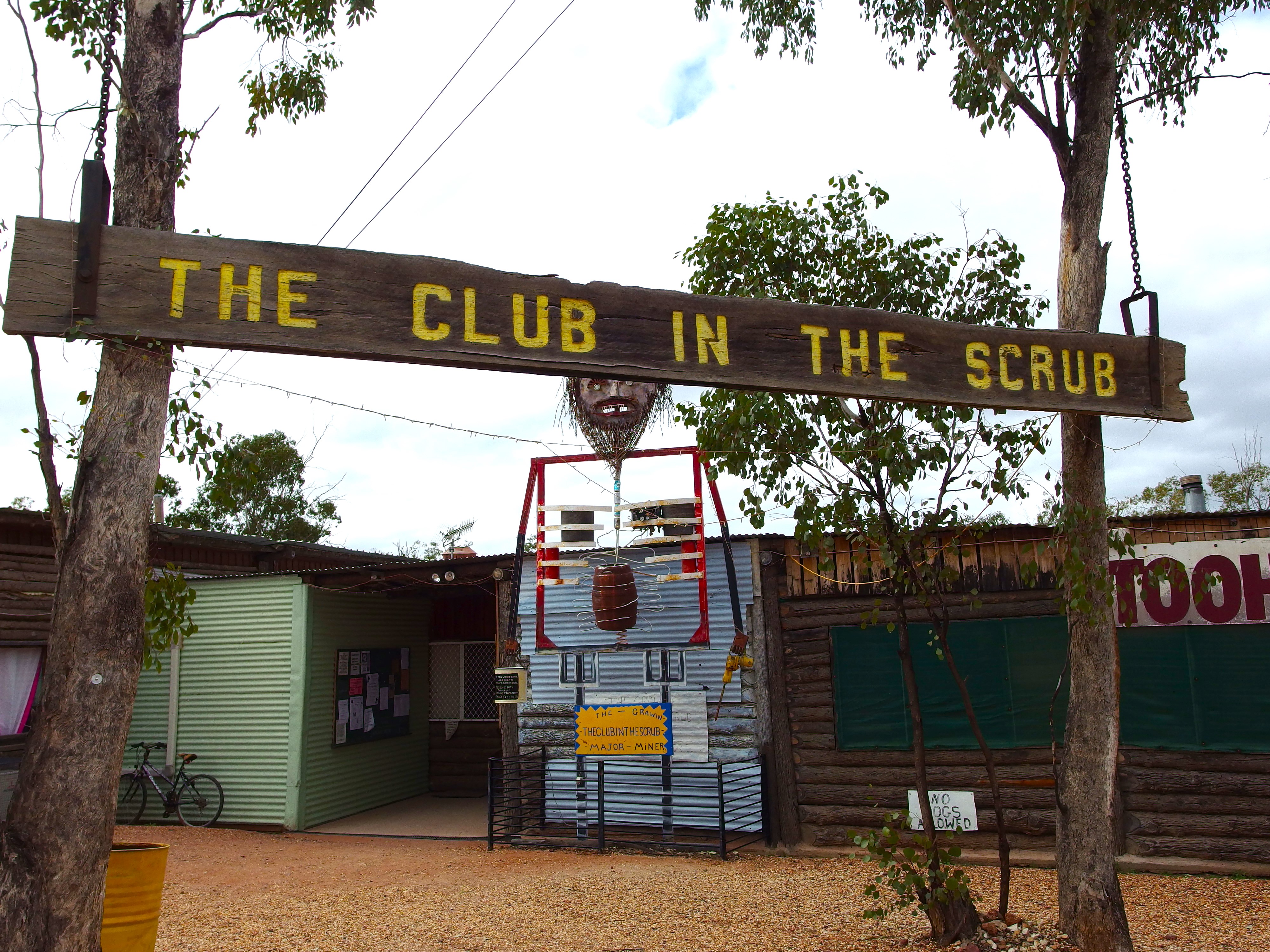
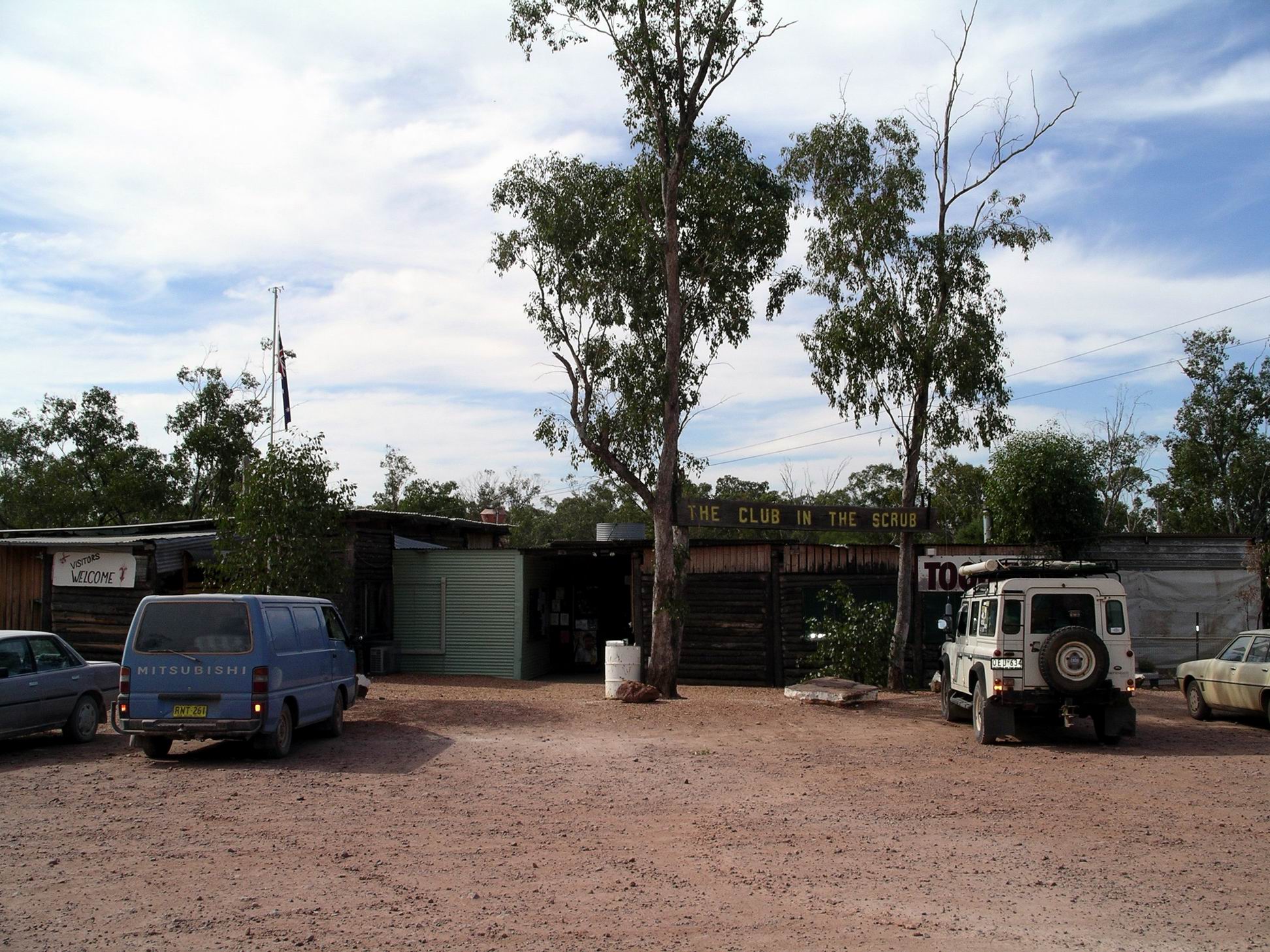
There are three drinking establishments at the Grawin fields: the Club in the Scrub, which is adjacent to the very rough golf course, hence the “Club”. There is the Glengarry Hilton, ironically named. The Sheepyard Inn is the most distant of the three.
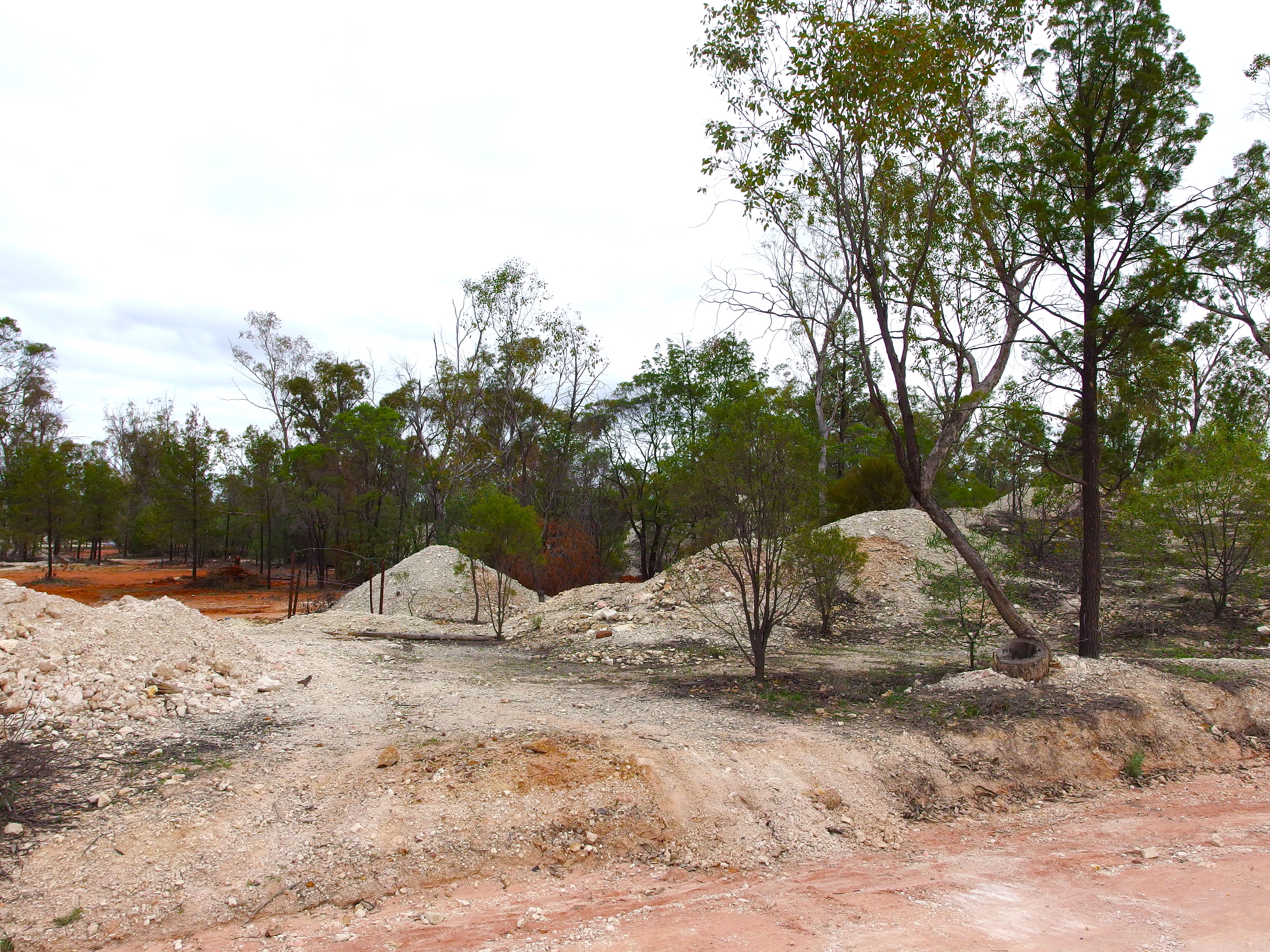
There is a small general store, of sorts, at the Grawin. And that’s about it – apart from lots of holes in the ground, many miner’s camps which are mostly ramshackle affairs, some very large dumps of waste dirt from the mining process, and a maze of tracks connecting the camps and diggings. There are none of the modern amenities or services of Lightning Ridge – nor any formal law enforcers – and it seems that those who live out here like it that way.
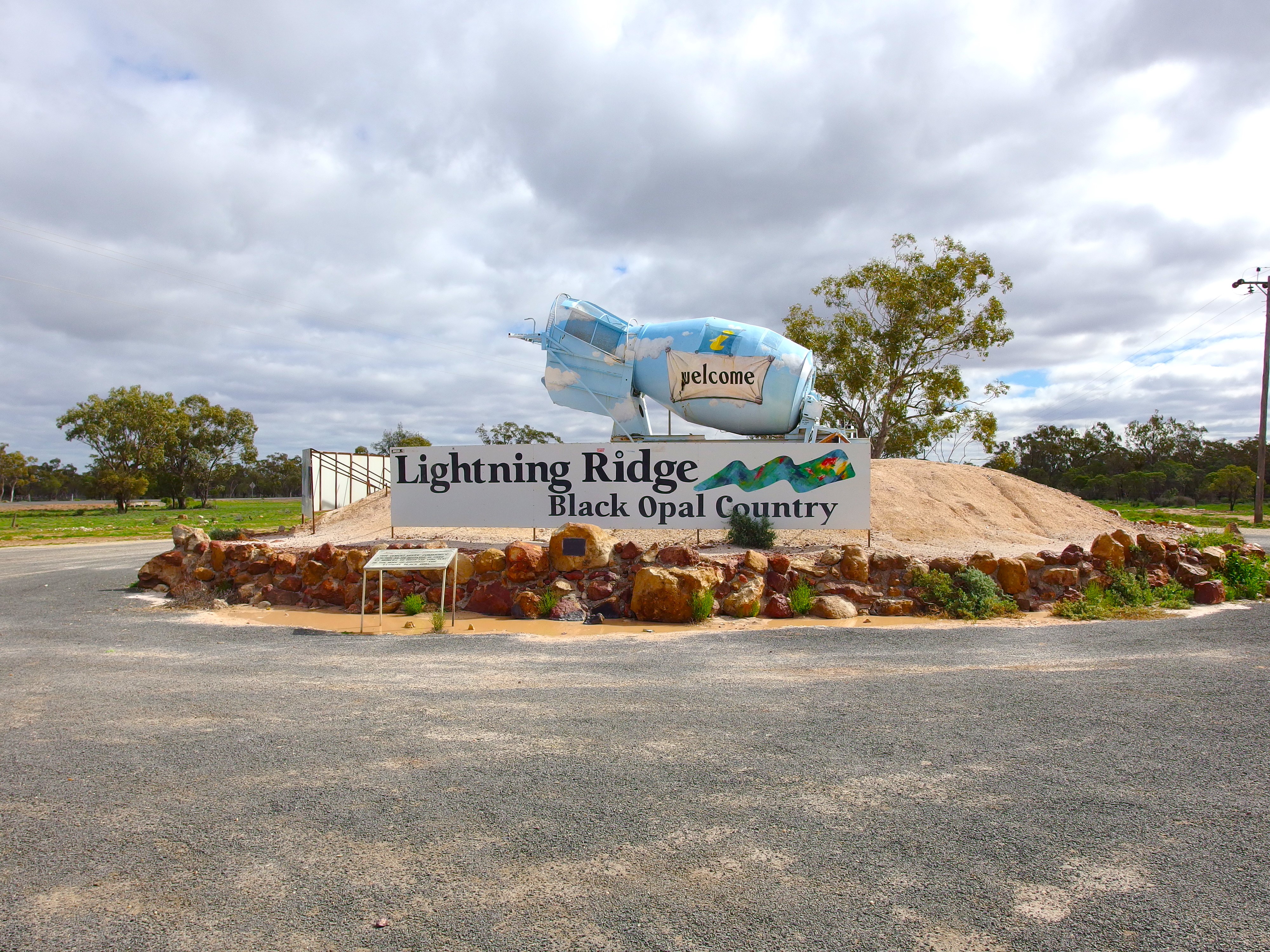
We headed out of town to the highway. Stopped at the highway corner to inspect the tarted-up “agi” that is the feature of the welcome signs. An agi is an old cement mixer, used to wash the opal dirt and so make separating out any opal bearing rock easier. There are lots of these on the fields.
Noticed a little informal memorial around the back. Very much Lightning Ridge style…

Memorial
It was only a few kms down the highway to our next stop – Stanley the emu. This is a very large sculpted emu, the creation of artist John Murray, whose gallery is in town and whose iconic works often features stylized emus. Stanley is a true creature of Lightning Ridge, being crafted from “stuff” found about the place, including car doors.
Over the road from Stanley is the modern rest stop and free camping area.

Rest stop and free camp area
Then we turned onto the Cumborah road. The country was quite green, the dams were full, and there was quite a bit of surface water lying around. Someone had earlier told us that the green of the country was deceptive – that some earlier rain had caused the weeds to grow and there was not a great deal of proper feed yet – in that sense, the drought is still on.
By one stock grid was a sign saying “farmed goats” – presumably to stop some people thinking the goats were feral, and shooting them. Could see the any tree foliage in the goat paddocks was cut off in a neat, dead-straight line, at about reaching height for a goat.
Travelled through a variety of landscapes: grazing land, crop land, cypress pine woodland, mulga country. It is a varied and interesting drive.
Cumborah village appeared a battling little township that consisted of some occupied houses and a few farm related services. We turned to the north here and some 13kms later came to the turnoff to the Grawin. The sealed road ended at this point.
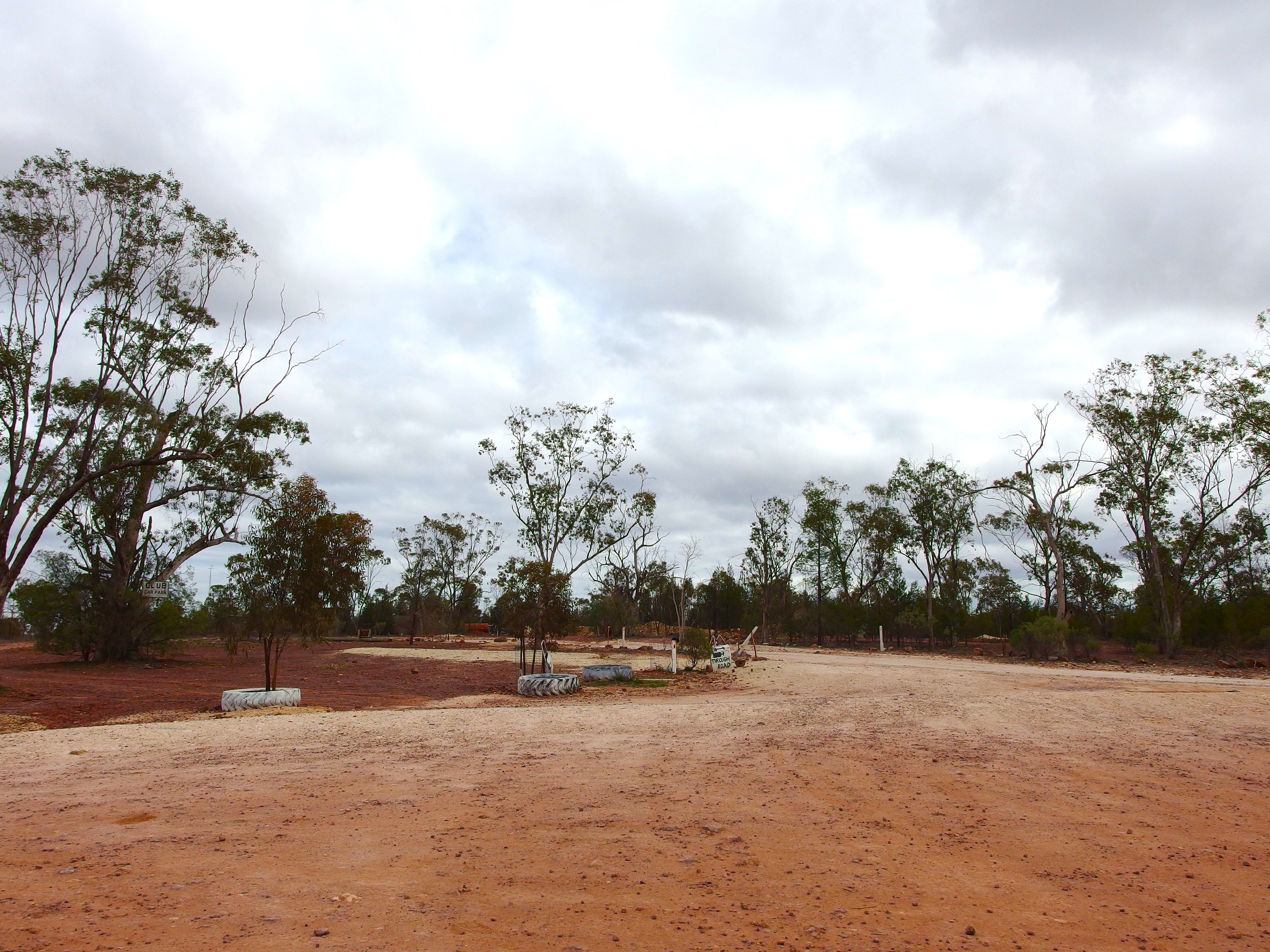
A few kms along the dirt road we turned off to follow a track through the golf course to the Club in the Scrub.
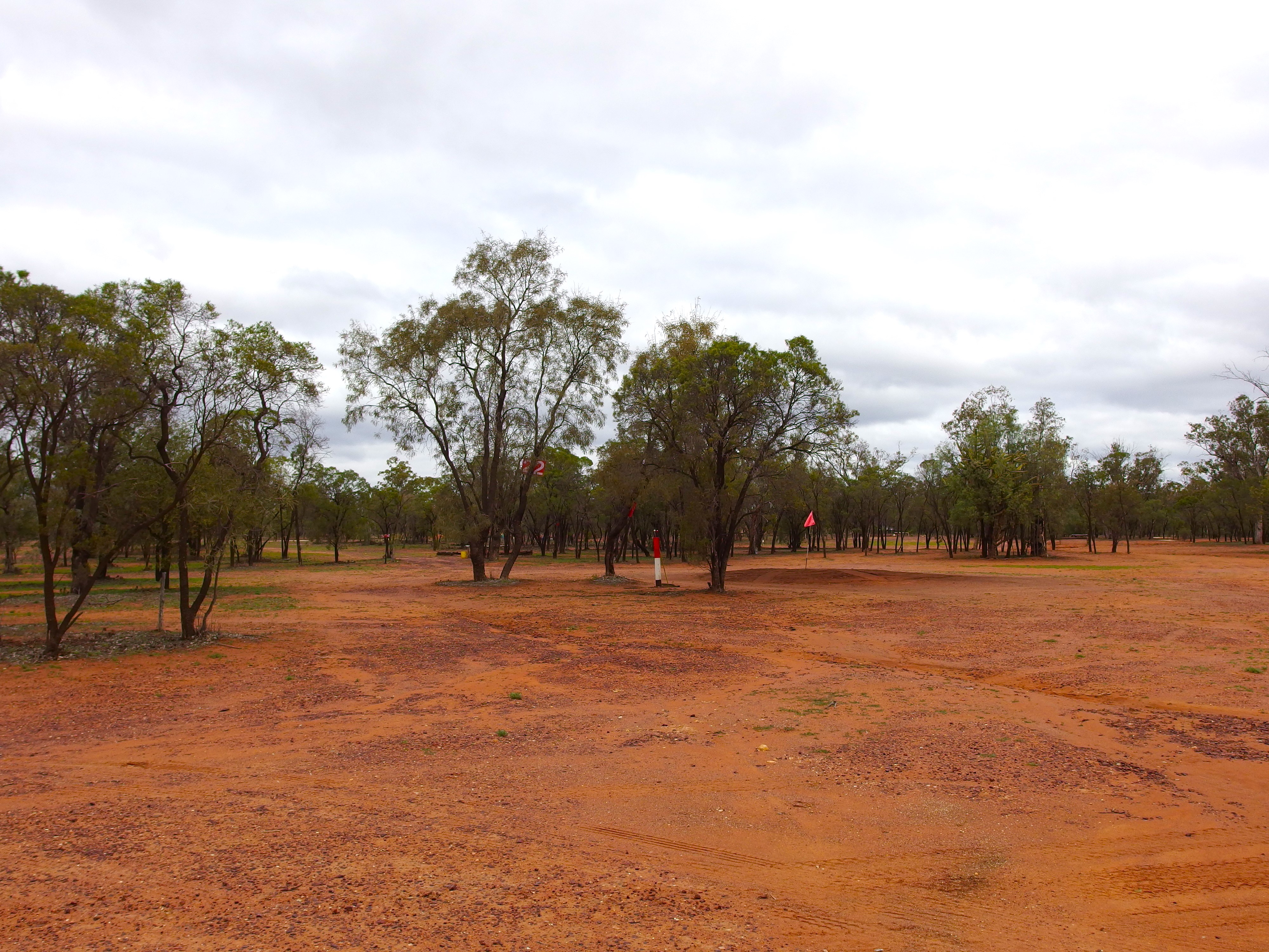
Golf course at the Grawin
Browsed about in the building, reading notices and looking at old photos.
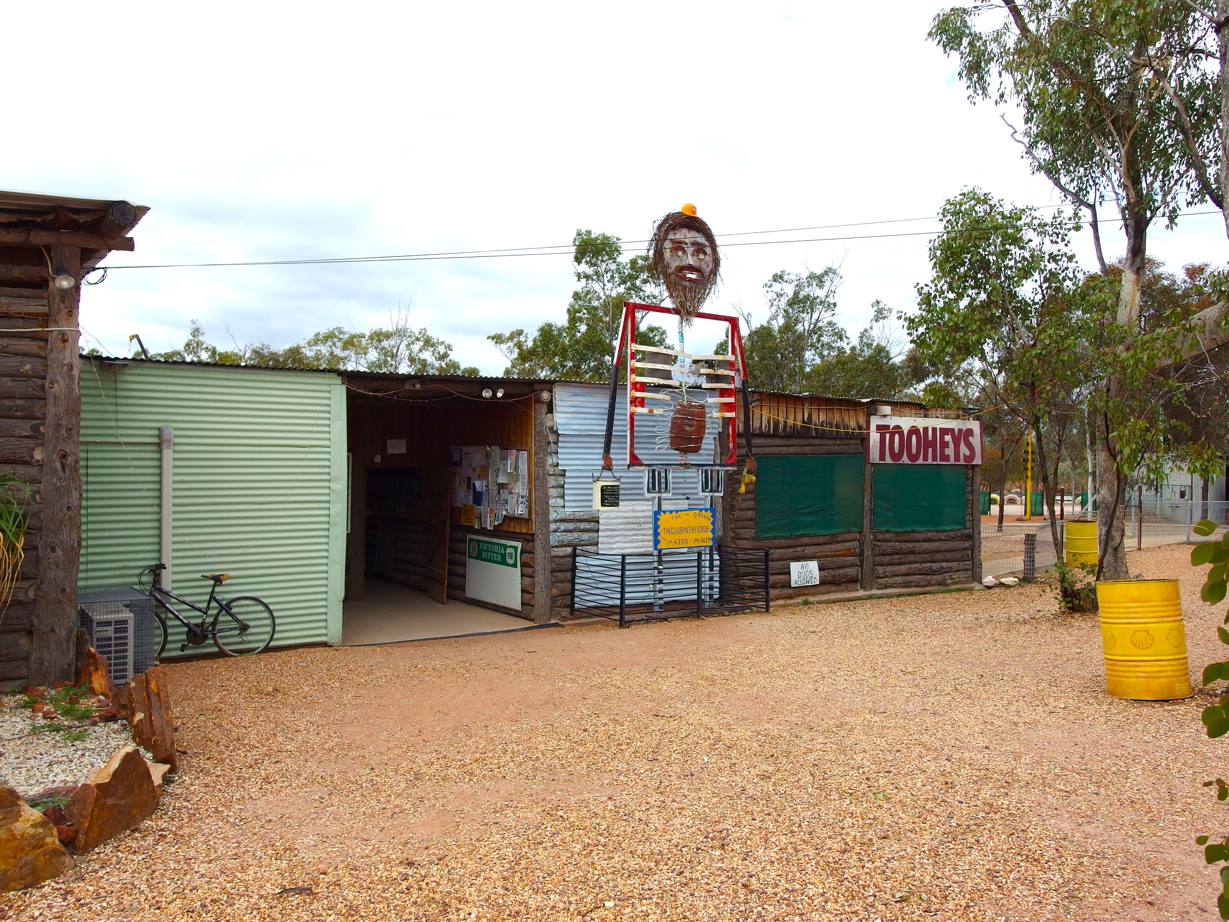
The Club in the Scrub
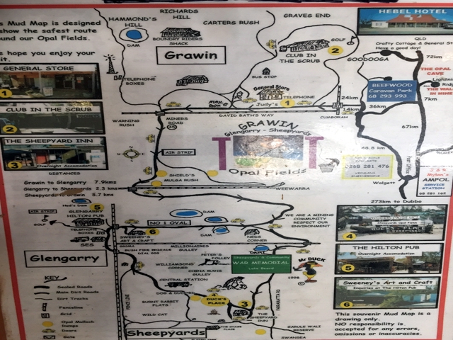
John saw a man leaving with a box of freshly cooked chips that smelled great, so we ordered a $6 box. Lunch! I paid $10 for a laminated mud map of the fields, produced by a local guy called Duck. The man behind the bar was careful to tell me that the route it showed through the fields was not accurate, that some left turns should be right ones. I couldn’t quite follow his explanation, but figured that any map was better than none. According to the GPS unit in the Terios, we were driving through featureless paddocks out here!

On the Grawin weather rock
While we waited for our chips, watched a handful of local ladies playing bingo.
Sign points to the through road
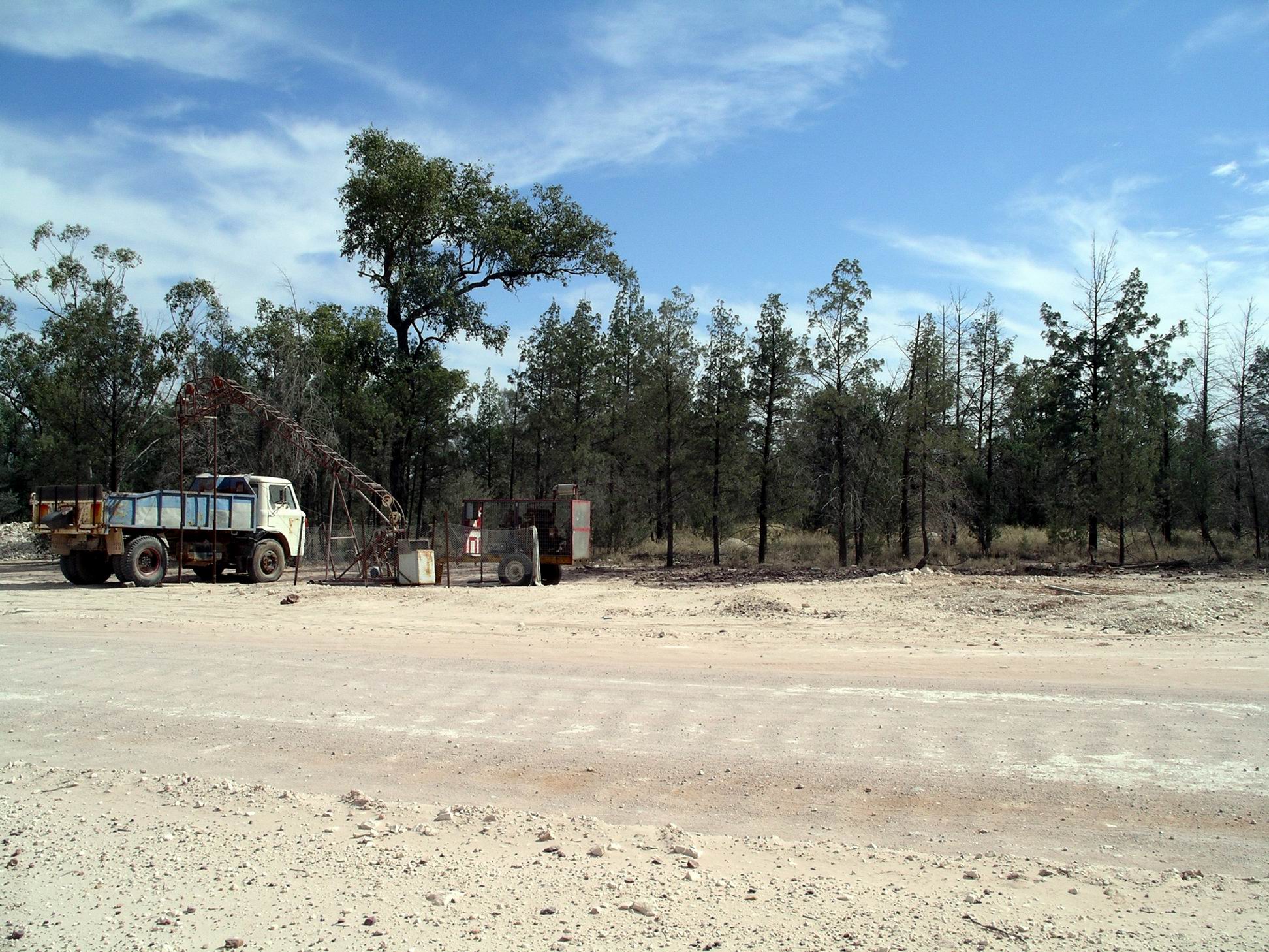
A noticeable feature of some claims beside the track through the Grawin was the vacuum pumps positioned above the shafts – to suck up the dirt from below, as opposed to loading it onto some sort of hoisting machine. High tech on the fields!
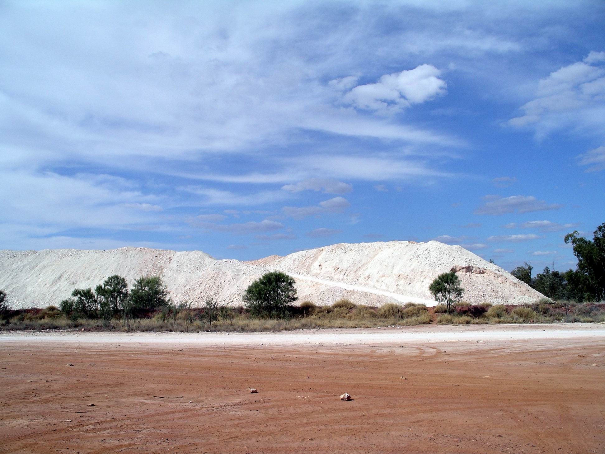
We stopped at the big waste dumps at Mulga Rush.

Mulga Rush dump heaps
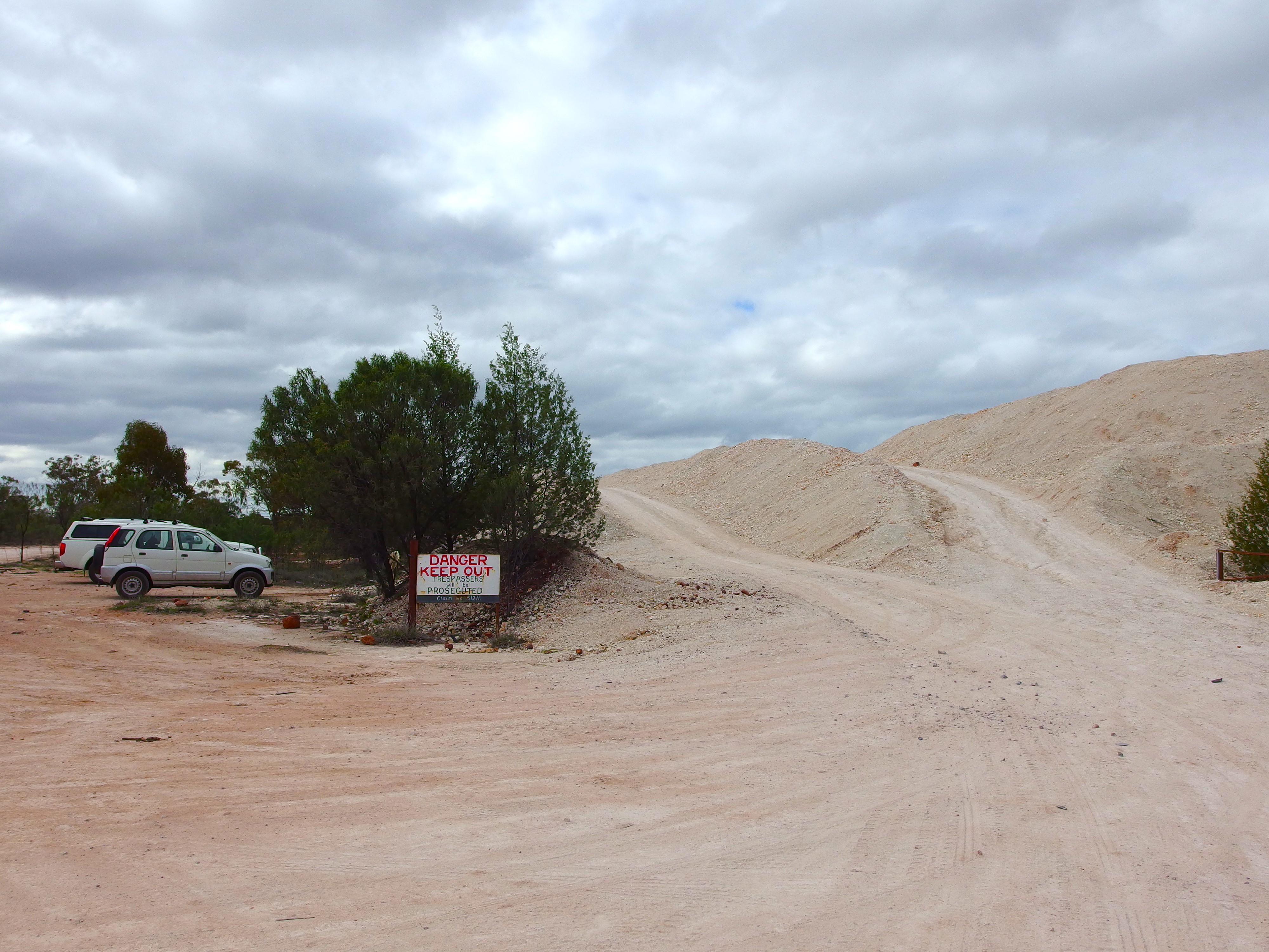
Only dump trucks allowed up there
John walked up to have a bit of a fossick on the heaps up top. I took Couey for a short walk, complete with muzzle, which she hates, but one doesn’t know what might be around out here.
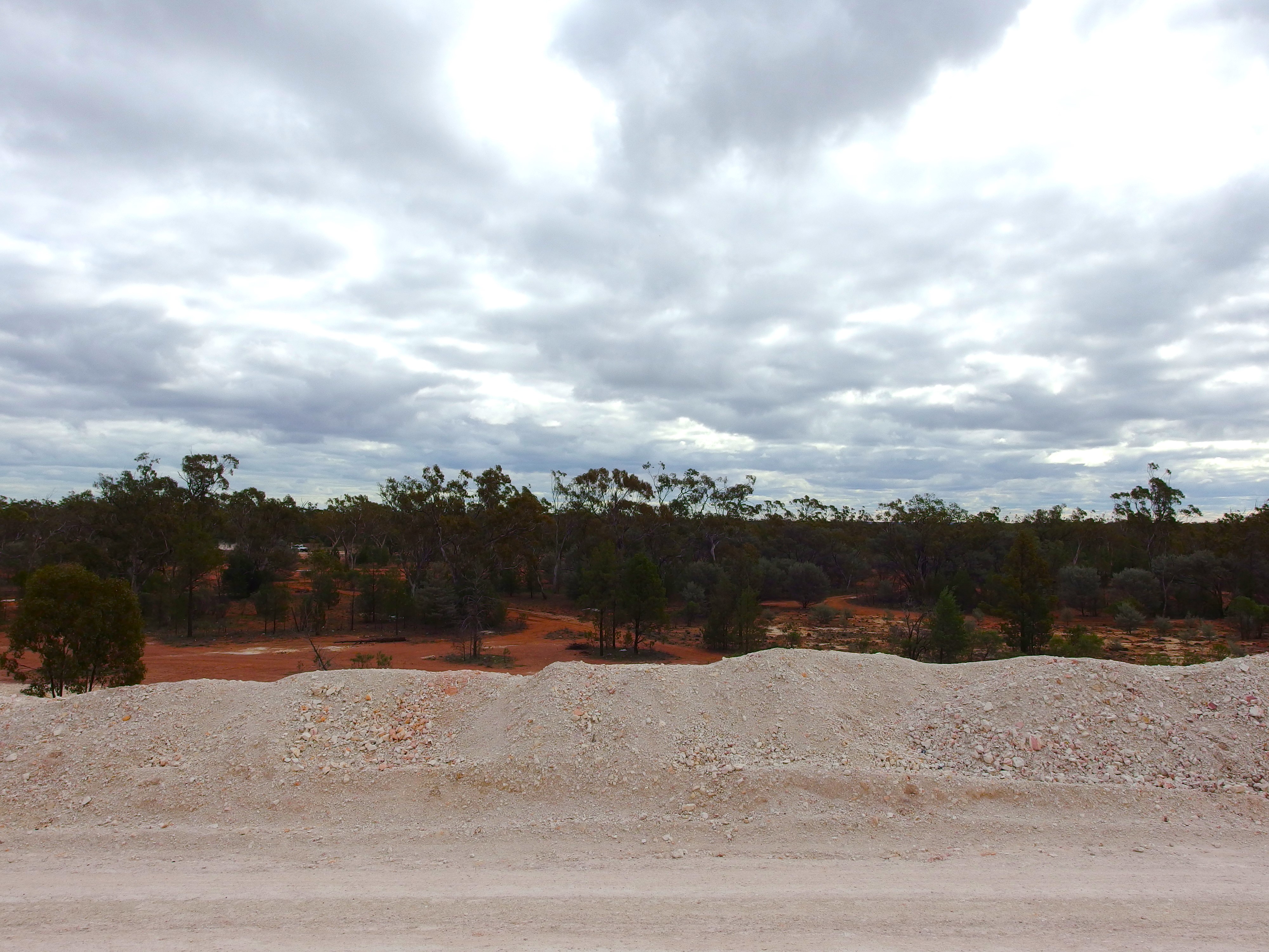
View from the top
Then she went back into the car and I walked up to the top of the current dump and took some photos.
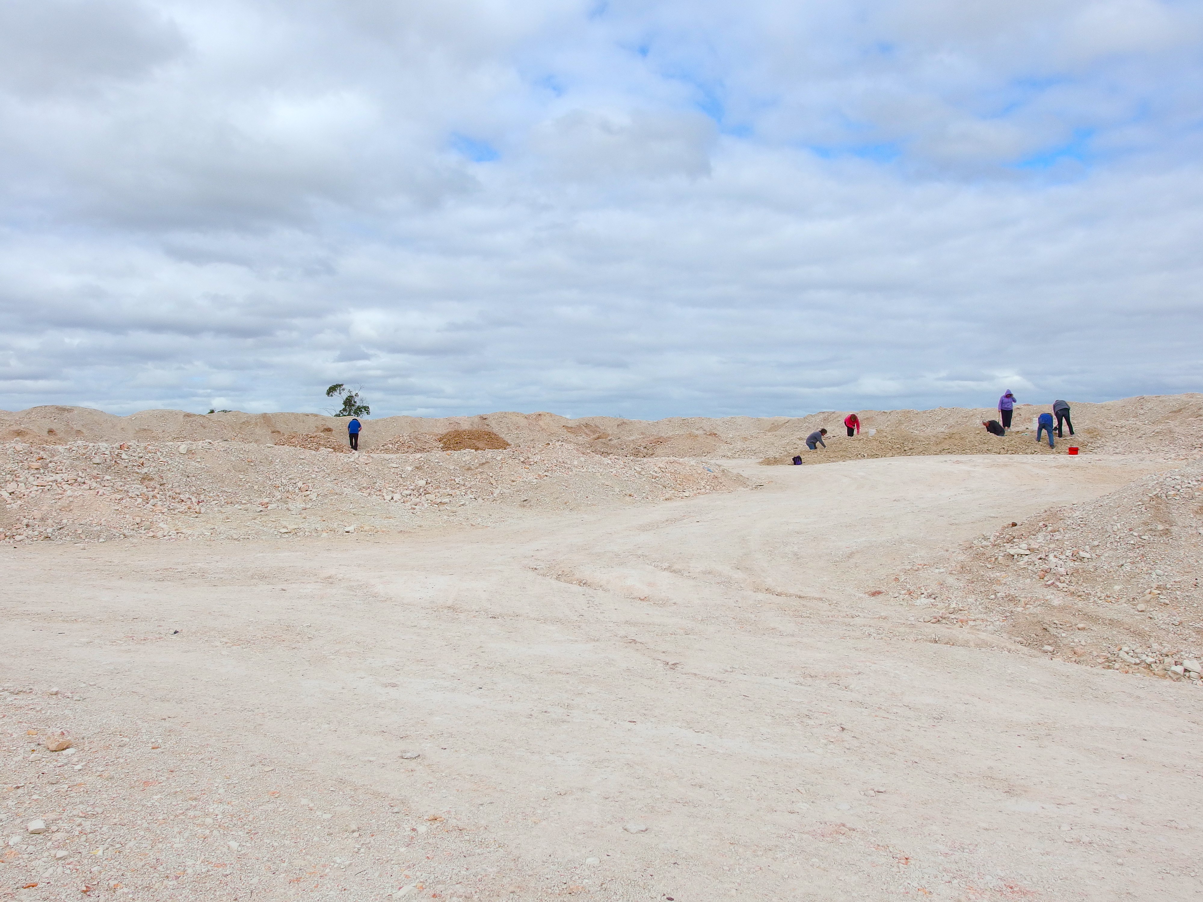
Noodling on the dumps
There were a few other people – all tourists, I think – scrabbling around up there, too. John did not stay long.

Roads every which way
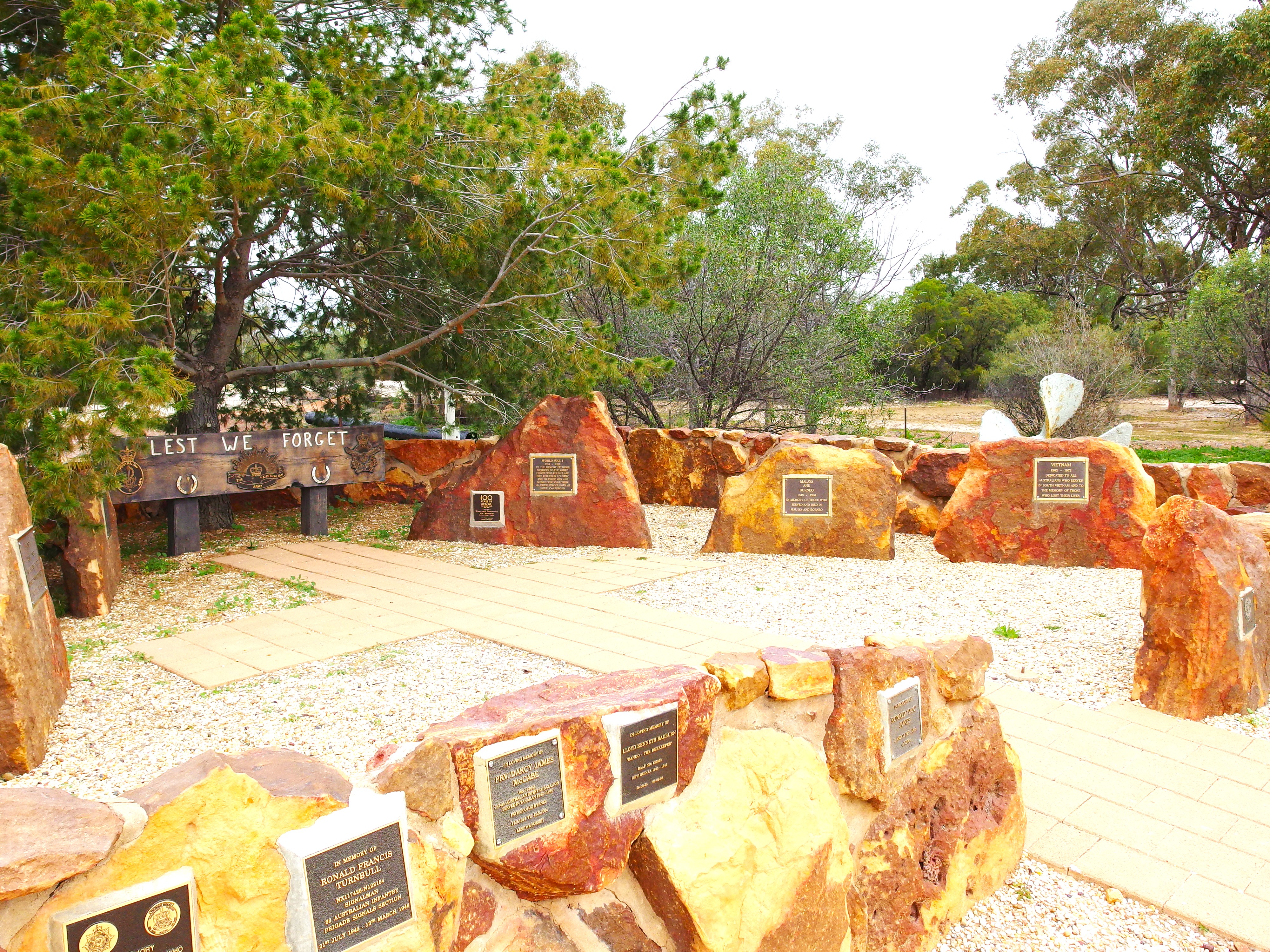
We drove on towards Sheepyard Flat and stopped at the War Memorial on the way.

War Memorial
It was really well done – just in the scrub, overlooking a small lake which was probably once a washing dam.

The Memorial commemorates all of the conflicts that Australians have fought in.
Continued on to the Sheepyard Inn. This has made itself into rather a commemorative place for Vietnam War veterans. The emphasis on this suggested that a number of vets have fetched up in the mining camps of the area. Inside what is essentially a large shed, there are several large whiteboards where visiting vets record their names and numbers. There was a surprisingly large number of such records posted.
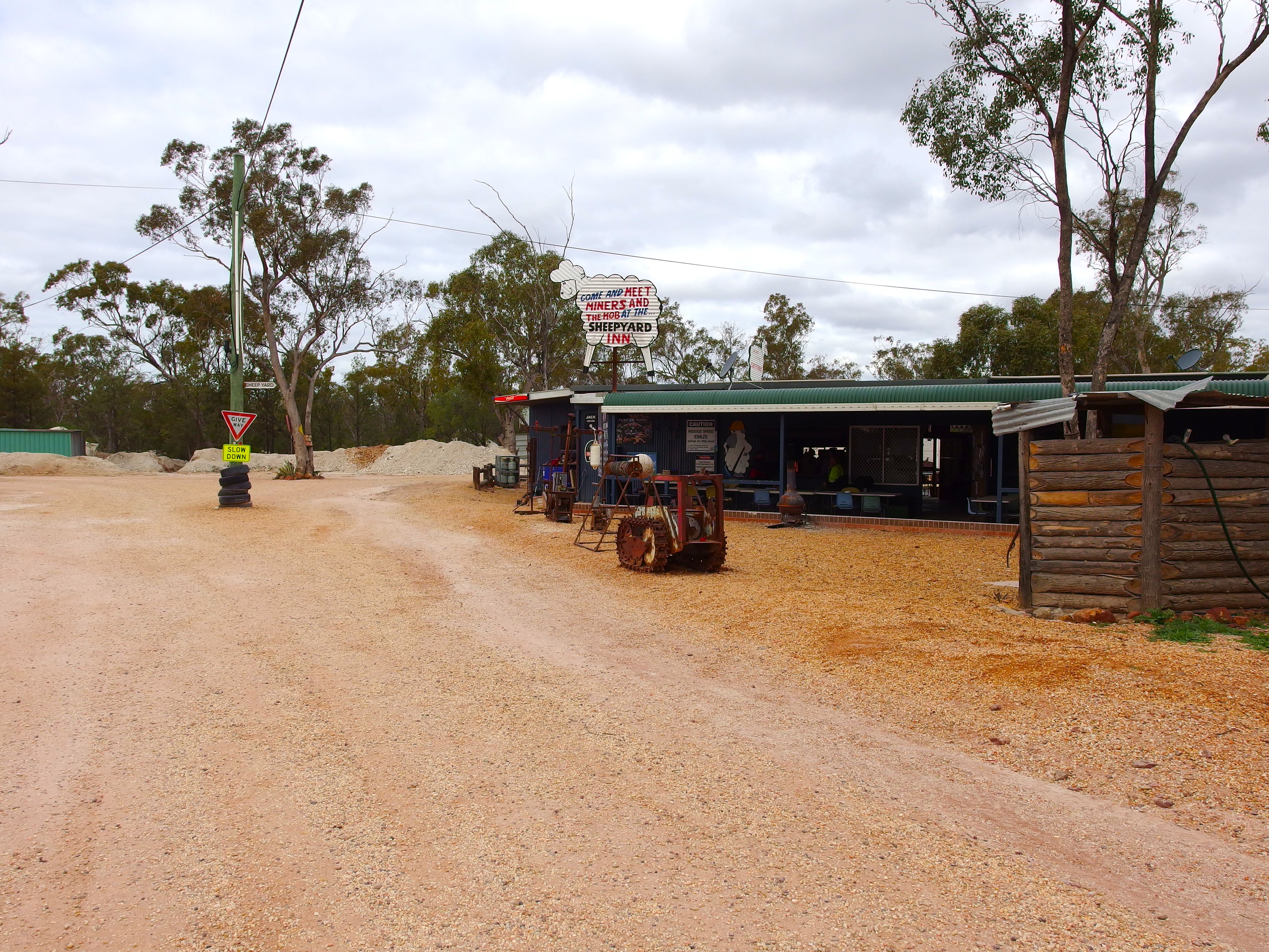
Having stopped there, we felt the need to patronize the place. John had a beer. I bought a can of Coke and wandered about, taking photos.
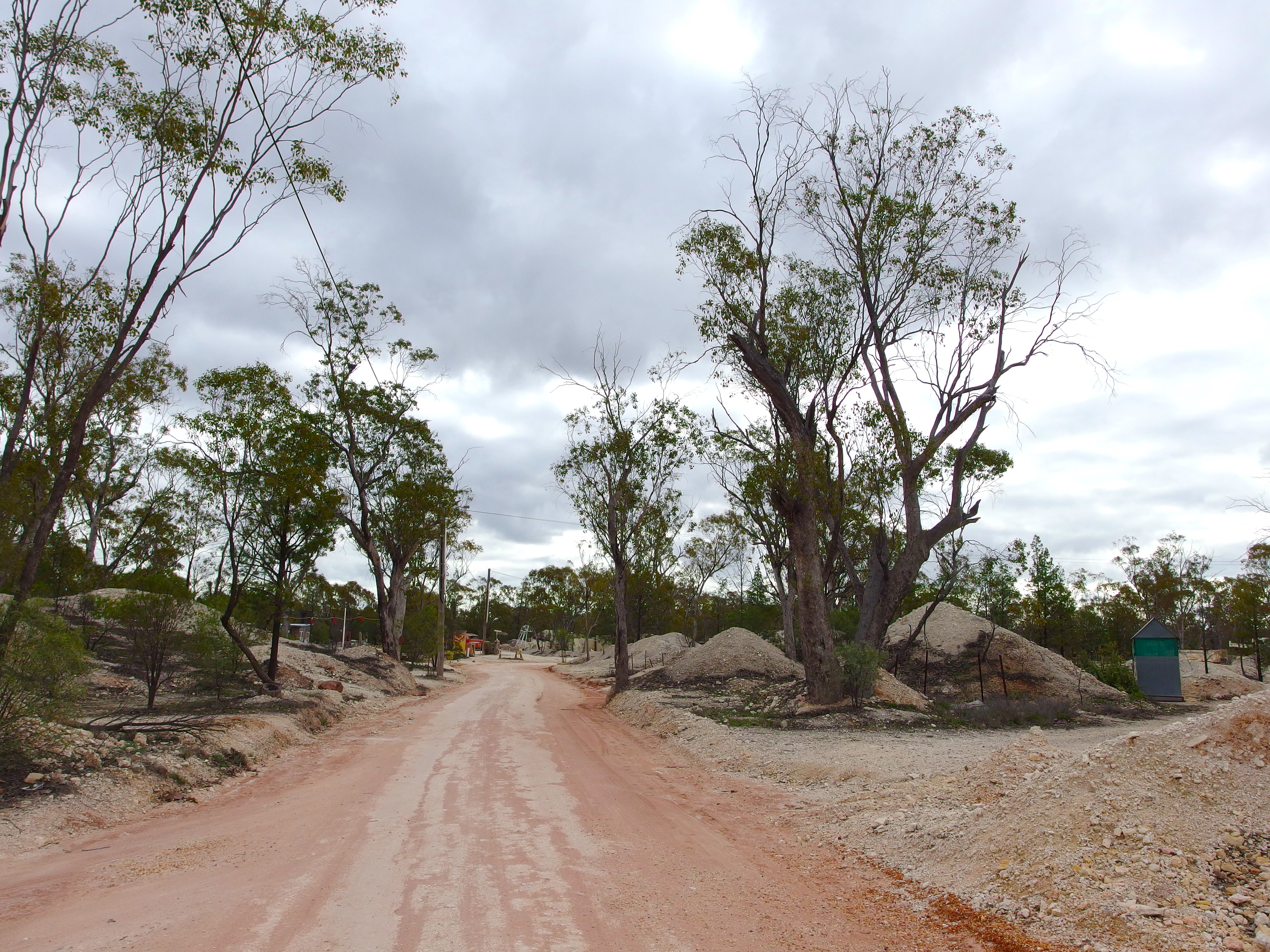
The area was an absolute maze of tracks.
The density of claims and shacks on them, in this area, was quite high.
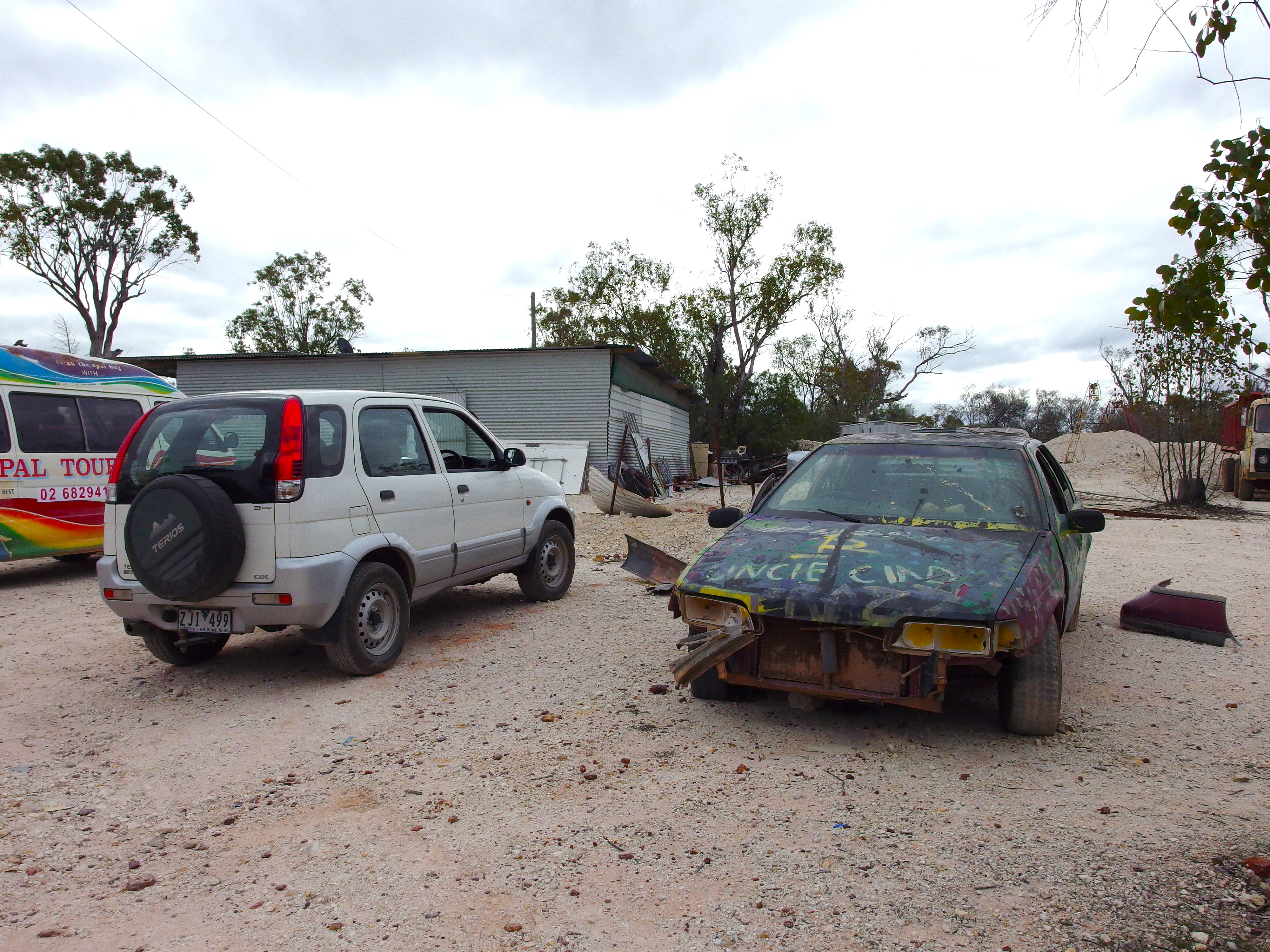
Some of the vehicles we saw being driven around the tracks here were testament to a relaxed attitude to some laws, in these parts. Roadworthiness or registration were not always a priority, it seemed.
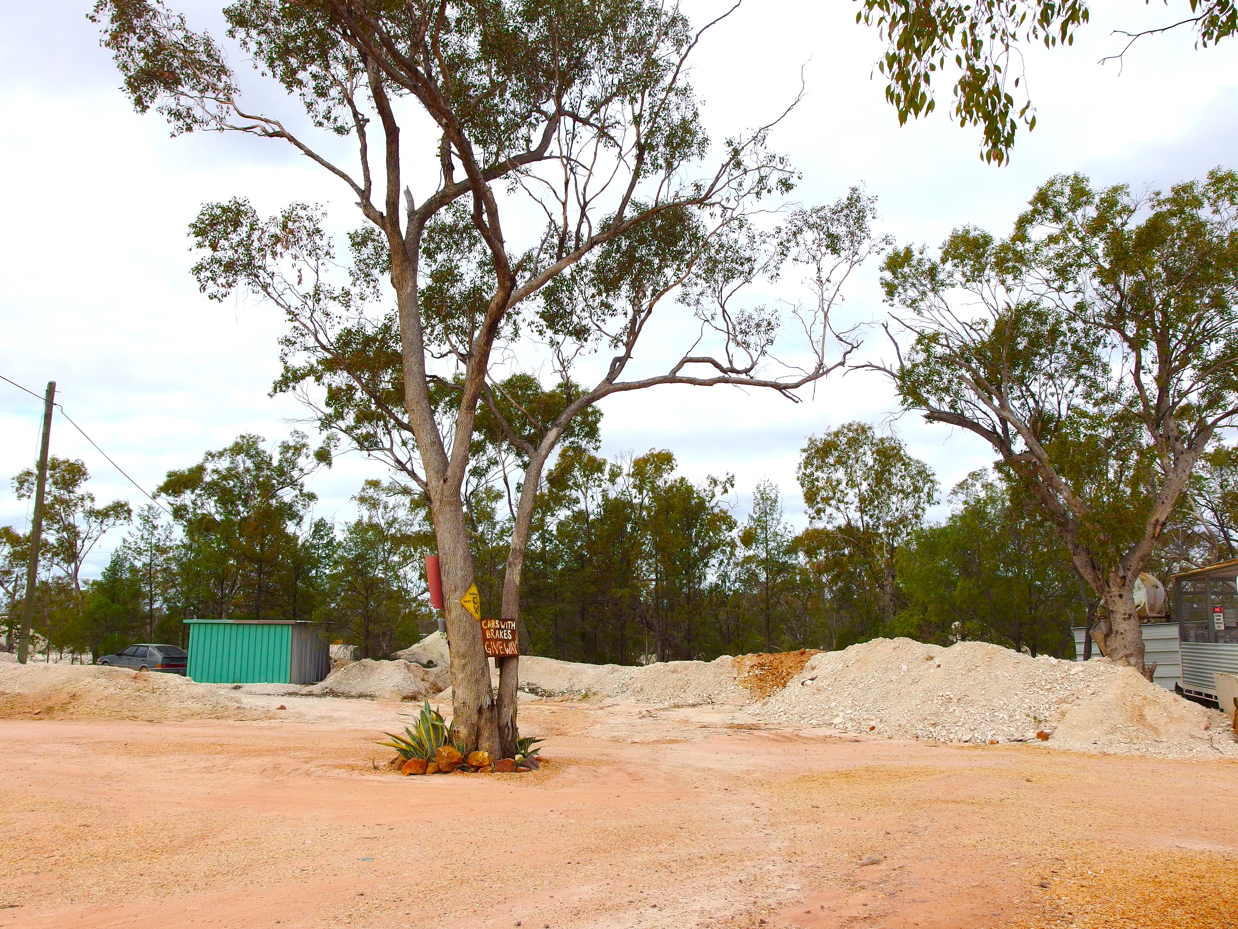
A sign at a track corner “Cars with brakes give way” may well have been intended as more serious than just a joke.
We got lost after leaving Sheepyard. Turned left when should have turned right. After about ten minutes driving, realized we were out of the mining area and heading south. U-turned and got ourselves onto the right track after an unintended tour of downtown Sheepyard. There were some mean gutters and ditches across the tracks around Sheepyard. Guess it kept speeds down.
When we were driving through these fields, they all appear flat but they, in fact, follow a long, low, shallow ridge.
We did not go into the Glengarry Hilton. A number of day trippers have lunch there, but we’d had our chips earlier. I was now going to take the sandwiches I’d made for lunch, back to the Bus, to toast for tea.
Back on our 2013 trip here, we had gone out to the Grawin several times for John to fossick on the dumps. Little appeared to have changed in the intervening time. It was still an interesting day out and one I would do again, on any future trip, just because there is so much to look at, and it is so unique.