This Adventurous Age

Adventures travelling and working around Australia.


Leave a comment

2009 Travels July 31

FRIDAY 31 JULY     FORREST BEACH

John thought we should do something further afield today.

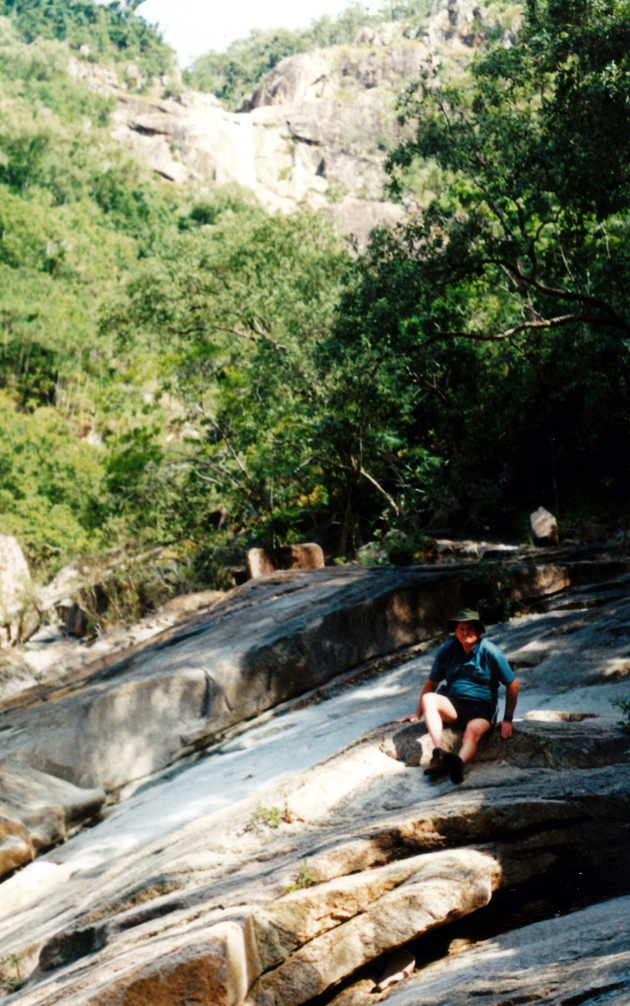
Wallaman Falls was mentioned as a possibility, but then we decided to go north instead, to take a look at Kurrimine. This had been mentioned to us as a great place to stay, by John’s nephew M. If we liked it, we could possibly go there for a while, as an alternative to spending all our remaining time at Forrest Beach.

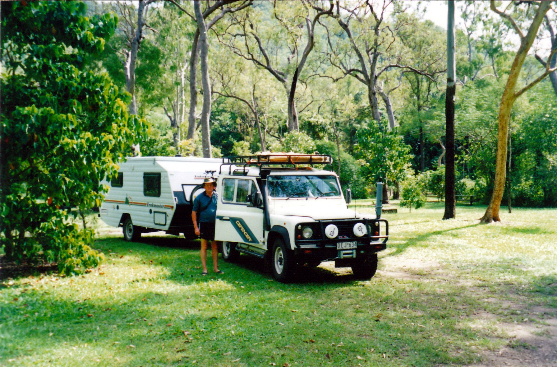
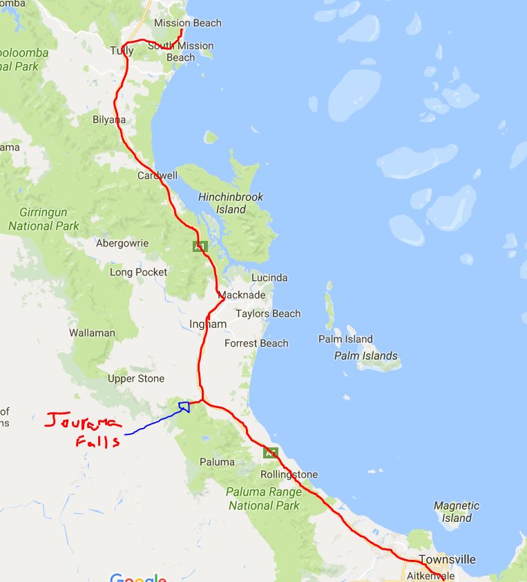
Kurrimine was only a bit over a hundred kms away – alright for a day trip. We covered the same roads again – that seemed to have become the theme of this trip – as far as Cardwell. There, we stopped at the good fruit shop and made several purchases.

The whole day’s driving was really attractive and interesting, always against the backdrop of the Great Dividing Range. The sugar cane country of Ingham was left behind as we reached the Cardwell Range, where it seems a segment of the Great Dividing Range comes down to sea level. From then, through to Cardwell it was mostly timbered or scrubby country. That section of the highway went fairly close to the coast of the Hinchinbrook Channel, and this was reflected in some marshy areas, and a number of bridges over creeks and swampy channels.

Once past Cardwell, sugar cane started to reappear, as the hilly country receded westwards and the coastal plains widened again.

The sugar mill at Tully was clearly in use, with smoking chimneys, as we approached the town. . Tully is most notorious for claiming to be the wettest town in Australia, with an average annual rainfall in excess of 4 metres! We passed the large “statue” of a gum boot that symbolizes this. Another “large thing”, with the regional symbol of a green tree frog climbing it side. This time of year was the driest in this area, with monthly rainfalls of only 400-500mm. Probably not a great place to stop with a caravan….

Another little range section interrupted the sugar cane spread, which resumed again as we approached the township of El Arish. A few kms further north we turned east off the highway, onto the evocatively named Murdering Point Road, which would take us to Kurrimine. Seems a ship was wrecked on a nearby reef in the 1870’s and some survivors were killed by the natives, hence the name.

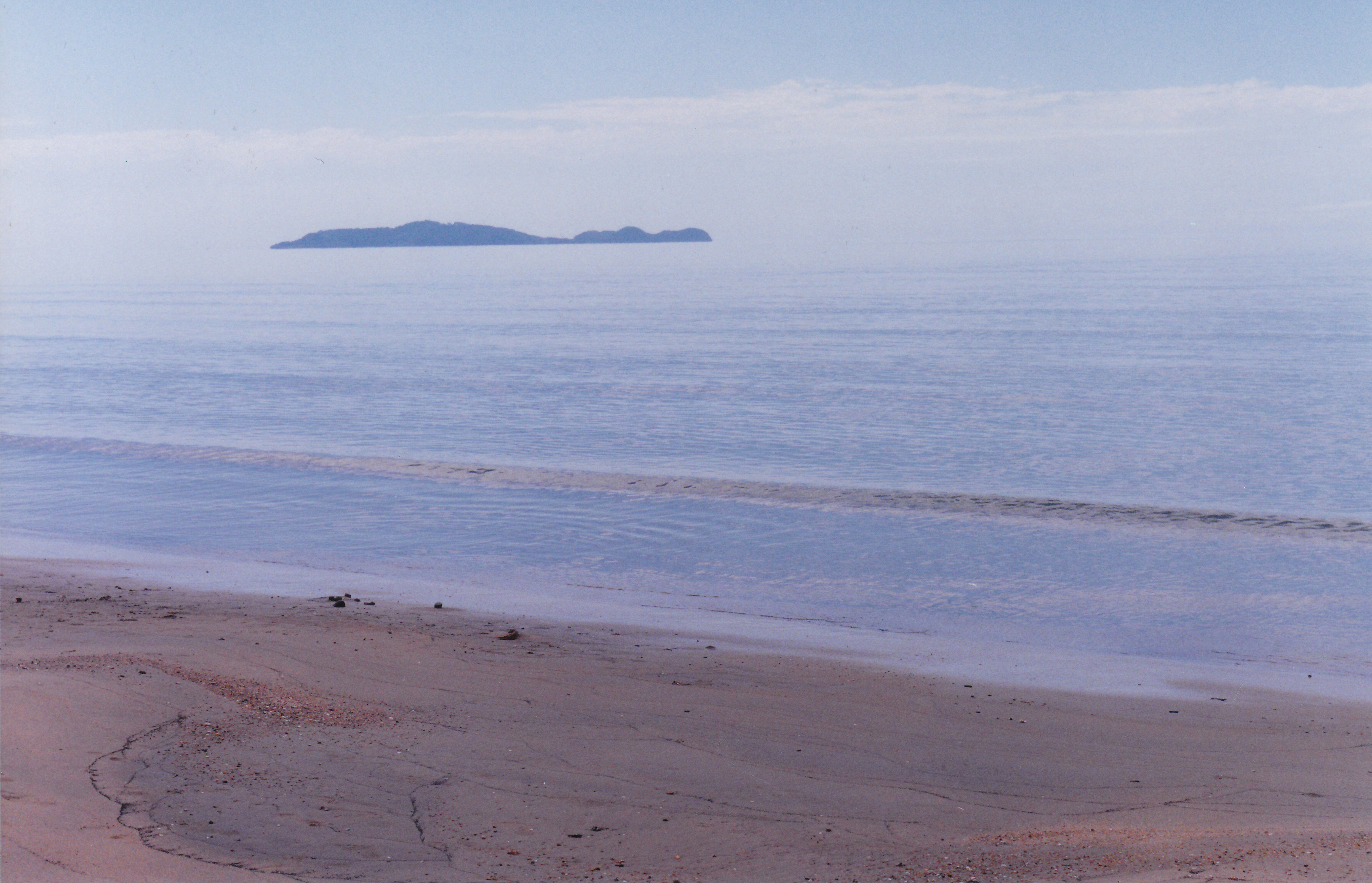
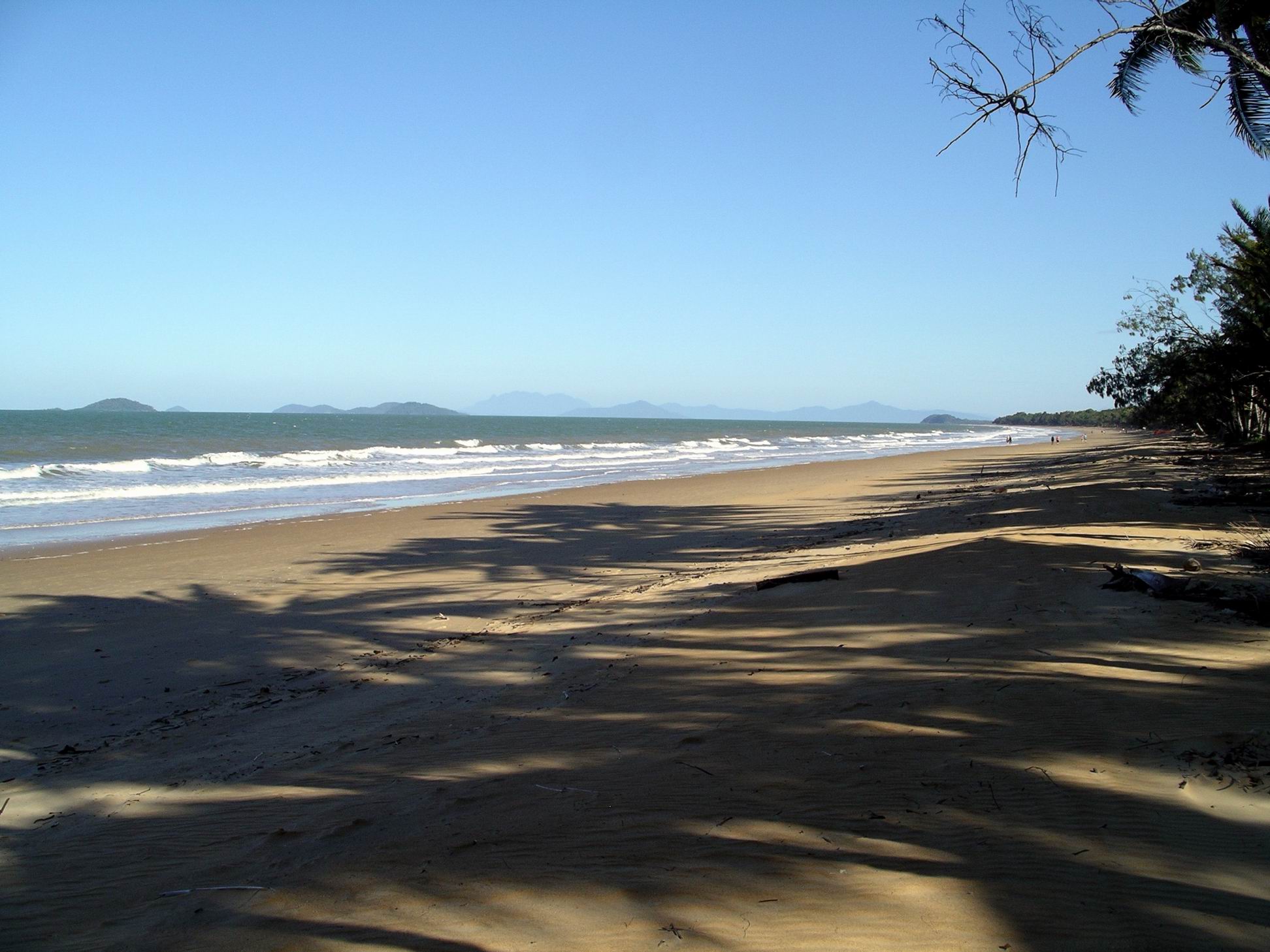
Kurrimine had lots of houses, two private caravan parks and a council run one. They all looked pretty packed, as we cruised slowly past, exploring the place. There was a lovely long beach, and very scenic views to the south, down towards Dunk Island.

Kurrimine Beach

We could see waves breaking on the King Reef, offshore – the site of a number of historic ship wrecks.

Could just see the distant white line of waves breaking on Kings Reef

Parked up and went for a walk along the beach. The Kings Reef Caravan Park had some frontage to the beach, so we went and had a look at that as we passed. It also had a hotel right next door.

Plenty of scope for walking on that beach

Drove to have a look at the Big 4 Kurrimine Beach park. After looking at them both, John had a slight preference for the Kings Reef one, but I tended to prefer the Big 4 one. There was no adjacent hotel, which I saw a potentially noisy at the other place. It also advertised a large swimming pool and was not too far from the beach.

We decided Kurrimine would be a good place to come for a week or more – but next year. It was not compelling enough to make us move now, only to have to back track again after a week or so. We were done fed up with back tracking on this trip!

On the way south again, at El Arish we turned east for the coast again, this time to Mission Beach, where we’d stayed in 1998. We noted all the warning signs and speed restrictions relating to cassowaries, which had been doing it hard in these parts after cyclones in recent years badly damaged their habitat.

Mission Beach had become much, much more developed since we were there a decade ago. It was becoming so large. Back then, it was a lovely sleepy village. But the caravan park we stayed at then, still looked pretty good.

Mission Beach is really like a series of villages, strung out along the shore line. We drove through Wongaling to South Mission Beach. Decided the caravan park there would be our first choice for a stay next year. All the parks we saw looked pretty full, but that was only to be expected for this time of year.

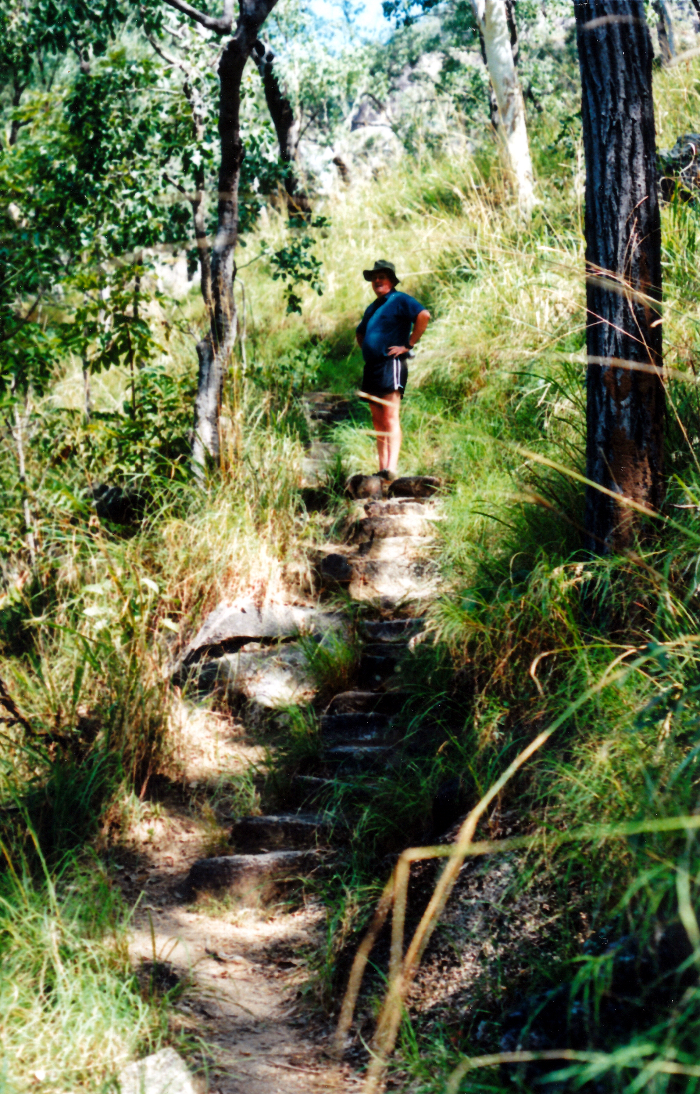
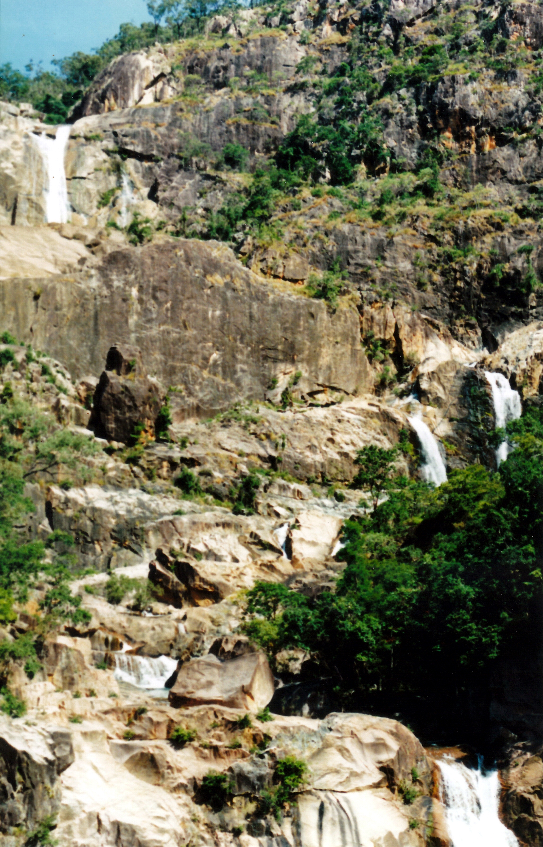
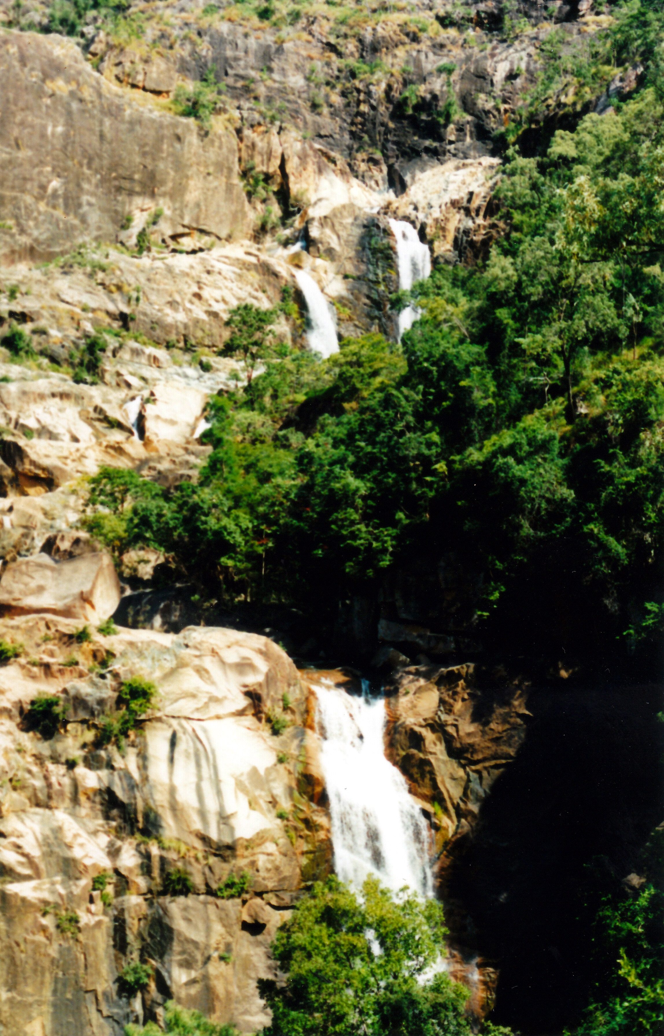
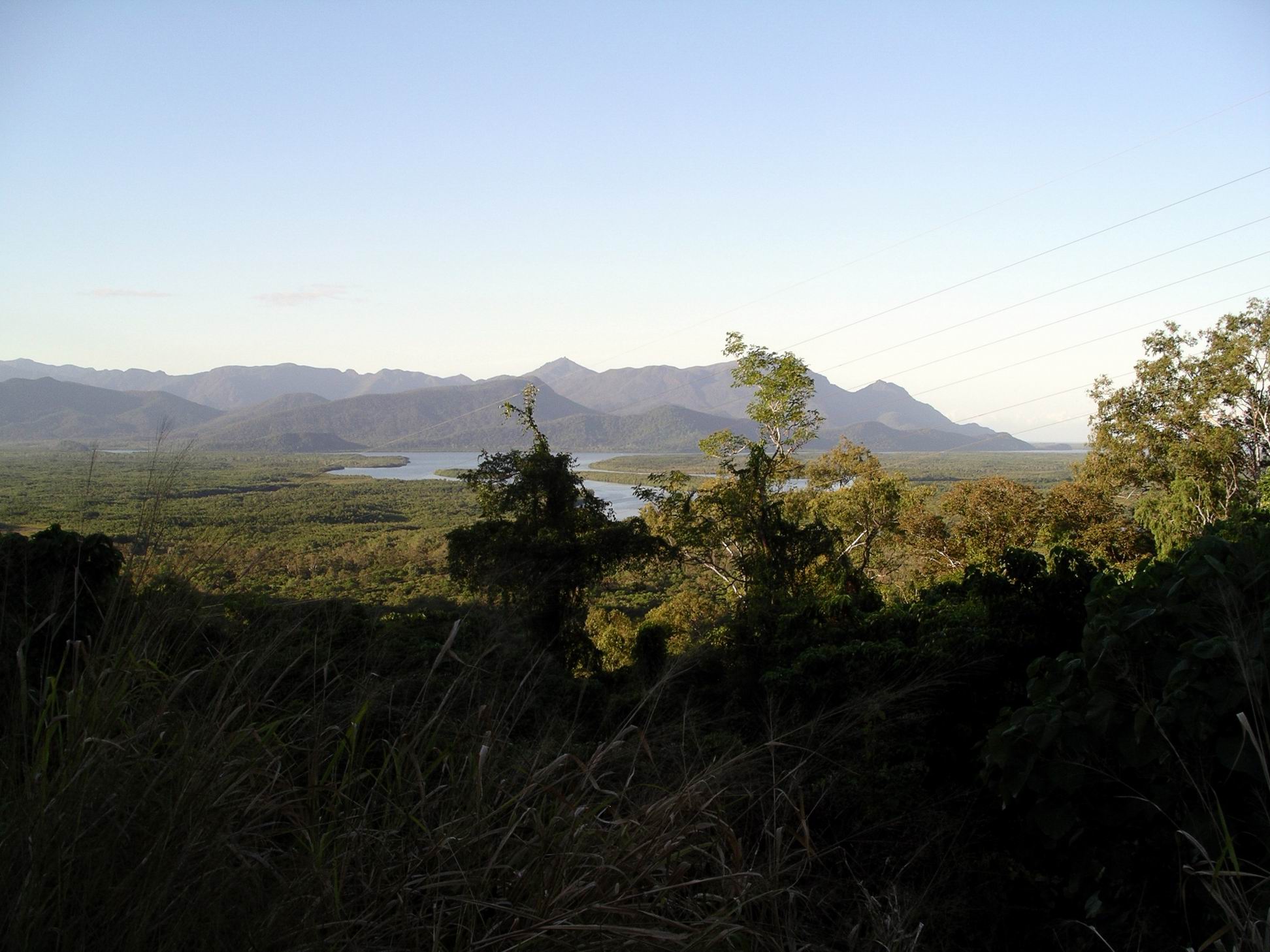
And so back to Tully and southwards. Stopped at the lookout in the Cardwell Range, briefly, with its vista across to the Palm Island Group, relatively close to the coast there.

Hinchinbrook Island and the Channel

North of the Herbert River, took Fulton Road which followed the river towards Halifax. It was a really pretty way to go. We got held up at a crossing by a really slow moving cane train. Eventually, after sitting there for a while and watching the locals, we followed their example, took to the fields and went around the back of it, via the road edges.

Arrived back at Forrest Beach at 5.45pm, after a great day’s outing. Stopped at the fish and chip shop and ordered same, to be picked up at 6.30pm. They proved to be ok, maybe a bit fatty.

I’d really enjoyed the drive today. But it brought back a longing to be able to be open-ended again, as we’d been on our three year trip, 98-2000. Then we could just meander north, and wherever, as the fancy took us, and not have to meet a going-home deadline.

The decision had been made that we would stay on here until it was time to head home.

The past few days and nights had been really windy and that became quite wearing at times – kind of frayed the nerves.


Leave a comment

1998 Travels August 30

SUNDAY 30 AUGUST     WONGA BEACH

I am feeling much better, though still with some tooth pangs. I think I am reacting somewhat to the codeine  and have a bit of a gut ache during the day.

It was a lovely day, today. The sea looked all silvery and beautiful. This is so idyllic – sitting outside, watching the sea through the palms, listening to the sound of the waves at night (at least, when the tide is in). There is a cooling sea breeze most of the time. The sea water is warm – but only for walking in the very shallow edge of the sea! Too many nasties are possible, further out.

08-30-1998 02 from Wonga Snapper Is.jpg

Snapper Island on a hazy, silvery day at Wonga Beach

John did some ironing in the morning – yes, we are being neat and civilized tidy again! He then went off to bowls again in the afternoon.

I cleaned up the van and repacked the books and maps, that we keep in a crate in Truck, to put away the Cape material, and keep out what might be relevant to the Cairns and Tablelands areas.

John phoned daughter R at lunch time – she is interested in flying up and joining us and seeing some “outback”. She is pleased to hear that we are thinking about getting a mobile phone! So, while John was at bowls, I roughed out some possible travel plans, in case she does join us: options for one, two or three weeks.

The federal election has been declared for 3 October. We will have to investigate our options for casting our votes.

John enjoyed his bowls, but the triples team is not now going to eventuate. Good – one less reason to go to Cairns!

John’s 58th birthday is coming up soon. I am still considering buying him a flight with the mail plane, up the Cape.

Some new people who have come in and are camped near us say they were at Mission Beach three days ago – they got 18 inches of rain, IN ONE NIGHT!. The water around their campervan was knee deep. I wonder if they ever have issues with floating vans there!

I still do not have much of an appetite. Tea was french toast and bacon.


Leave a comment

1998 Travels May 28

THURSDAY 28 MAY   TOWNSVILLE TO MISSION BEACH   262kms

Pack up and departure went quite well, although John got rather tense when trying to move the jockey wheel when it was in the wrong position.

We refuelled at the roadhouse in front of the park – 68cpl.

Finding our way out of Townsville was easy enough.

The first part of the trip was through similar country to that south of Townsville – grassland with trees, and with the ranges to our left. In places there were crops growing, such as pineapples and bananas. About 60kms north of Townsville, cropland began to predominate, with a lot of sugar cane.

For some variety from driving, nearly 100kms north of Townsville, we turned off onto the Jourama Falls Road. Followed this for 6kms – unsealed road, two shallow creek fords. Our off road van has now travelled “off road”!

This is part of the Mt Spec National Park. At the end of the road was a very pleasant camp and picnic area; we could have camped there in the van, had we wished, and if we had solar power. But there were a lot of mozzies.

We followed the walking track to the Falls. It was about a 4km return walk. There were some rock steps up an incline, which John managed quite well. Had to cross a small, knee-deep, rocky, slippery, fast flowing creek section, where there was a chain set on stanchions, for support. This part was hard for John. In places, the route was up fairly steeply sloping large rock slabs.

05-28-1998 01 walk tk to Jourama Falls.jpg

The walking track to Jourama Falls – John carefully managing the uneven steps

There was a lookout over the Falls and the rocky pools below them. It was worth the scramble to get here. The views were great – several long drops of falls and quite a lot of water coming over. An interesting place. It was easy to spend an hour or so there, just looking and listening to the falling water noise, and enjoying being in the bush.

05-28-1998-02-jourama-falls-top

05-28-1998 03 Jourama Falls lower.jpg

Two frames that show the scale of the multiple drops of Jourama Falls

On the walk back, John slipped when crossing the creek. I was steadying the chain for him and the sudden weight jammed my middle finger in the chain holder and took a great chunk out of it. Much blood! It was important that John didn’t fall in the water, though – apart from potential damage to his hip, he was wearing his binoculars (which I had offered to carry,  in my backpack over the creek). Had some bandaids in the little first aid kit I carry in the backpack, so was able to dress the finger wound.

05-28-1998 05  j being careful Jourama Falls.jpg

Coming down – John style

05-28-1998 06  Jourama creek & rainforest.jpg

A beautiful calm pool amidst the rocks below the Falls

We had lunch at the van before leaving the Falls area.

05-28-1998 07 jourama falls van offroad.jpg

The rig parked at the Jourama Falls picnic and camp areain the forest

It was a pleasant drive, after this, despite the throbbing finger. We drove straight through Ingham, which looks a standard sort of small town. By now we were well and truly into sugar cane country. Just out of Ingham, crossed the Herbert River – a fair size. Then we were out of the cane country and climbing quite steeply up a forested range. There was a good view across to Hinchinbrook Island, which seems large and high. It is very close to the mainland at this point. The forests now are much thicker and more lush and “tropical”.

What goes up, usually comes down, and we did – but it was not too bad. John used lower gears to slow us down. I get tense in these situations still, but he is managing better.

We passed the controversial Port Hinchinbrook Marina development, which is clearly being quickly built. At Cardwell, the road was briefly alongside the ocean, before cutting back inland. We drove through Tully township, where there was a huge sugar mill – but there was no sign of it working. I guess it is seasonal – only going when the cane is being harvested.

Just north of Tully, we turned onto the road to Mission Beach. We saw a road sign warning that cassowary birds cross the road!

Mission Beach is very spread out. It is really two villages that hug the sea front. We travelled first past Wongaling and South Mission Beach and then after a few kms, came into Mission Beach proper.

05-28-1998 townsville to mission beach.JPG

We are booked into the Big 4 Hideaway Holiday Village, which is very nice. Our site cost $16.20 a night, with a 7th free night. Paid $2 extra to have a cable to hook into the van’s TV, to give better reception. We were directed to drive through the site behind ours, to get onto our site, so there was no backing! Nice. The atmosphere in this park seems very positive and it is very “tropical”. As one would expect. All lush gardens and greenery and vivid colours. There seem to be a lot of Victorian cars on sites here. We are in Mission Beach proper. Across the road is a council run caravan park, and then the beach.

We were able to get fully set up just before the heavens opened and the rain came. This area around Tully is supposed to be the wettest in Australia, but I really wasn’t expecting rain.

Tea was cold roast chook, with salads.

It rained continuously and heavily through the night. In the occasional spells when the rain lessened, could hear the sea waves breaking. Very nice.